
BWRA
Quick report
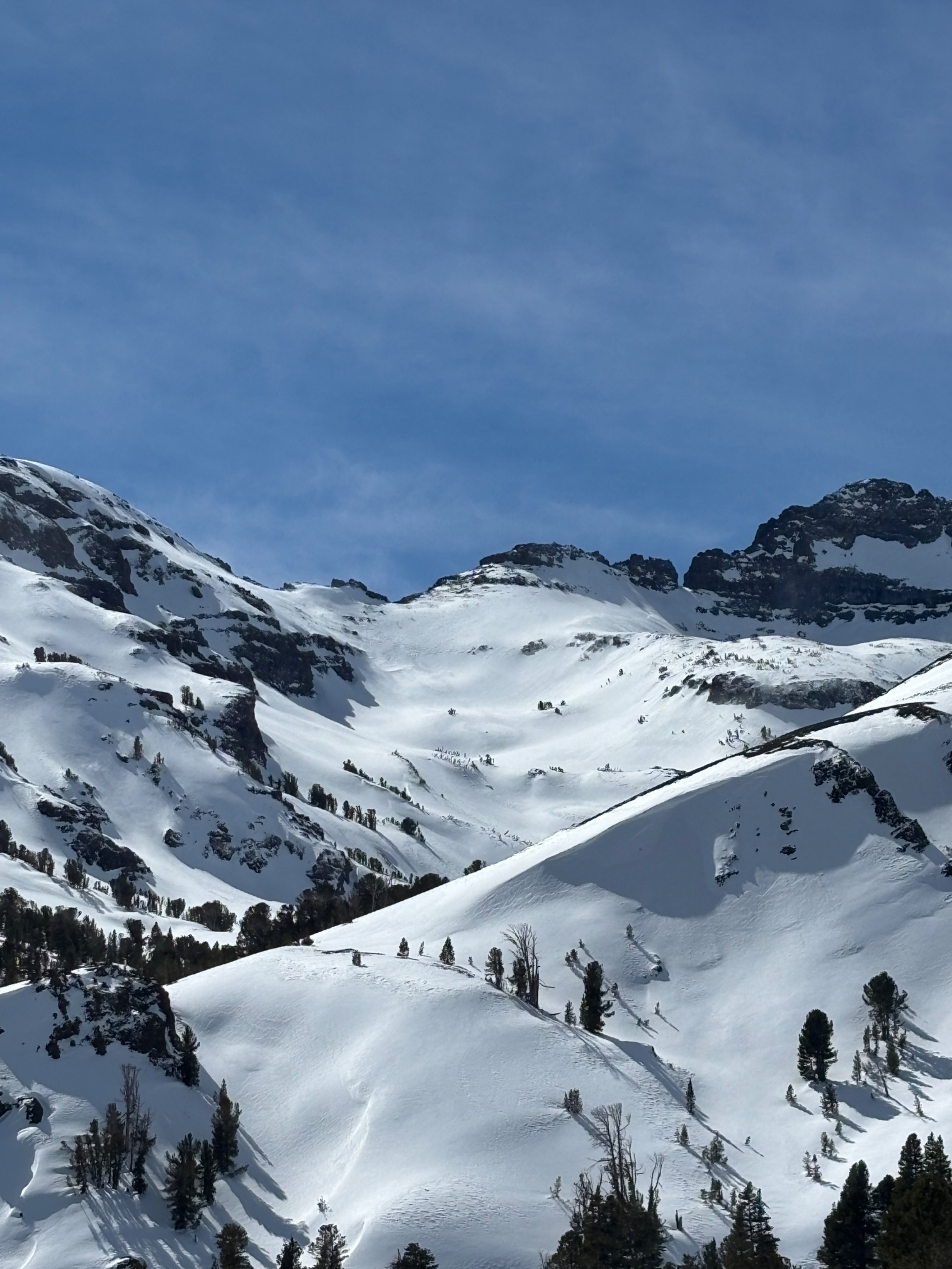
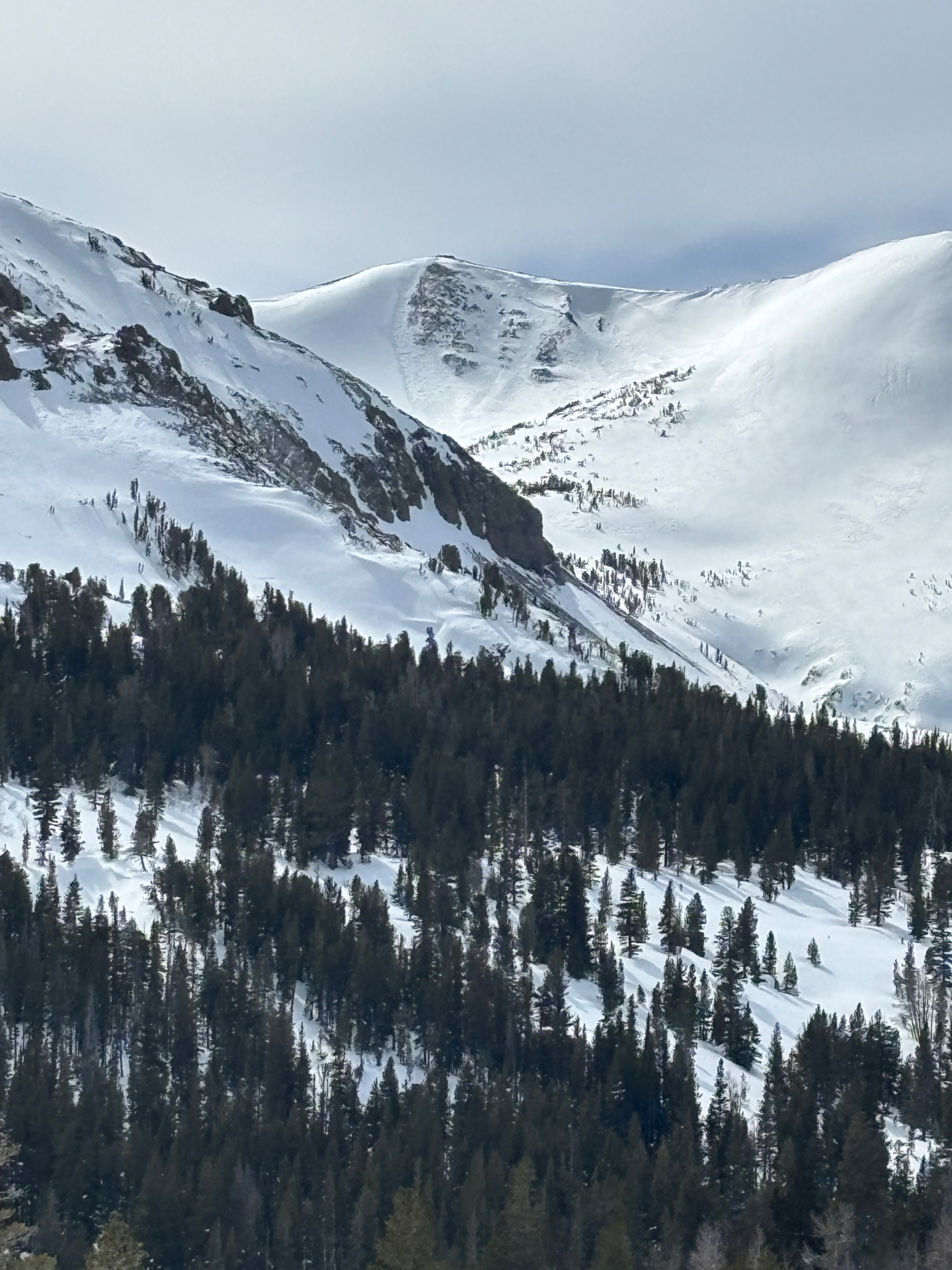
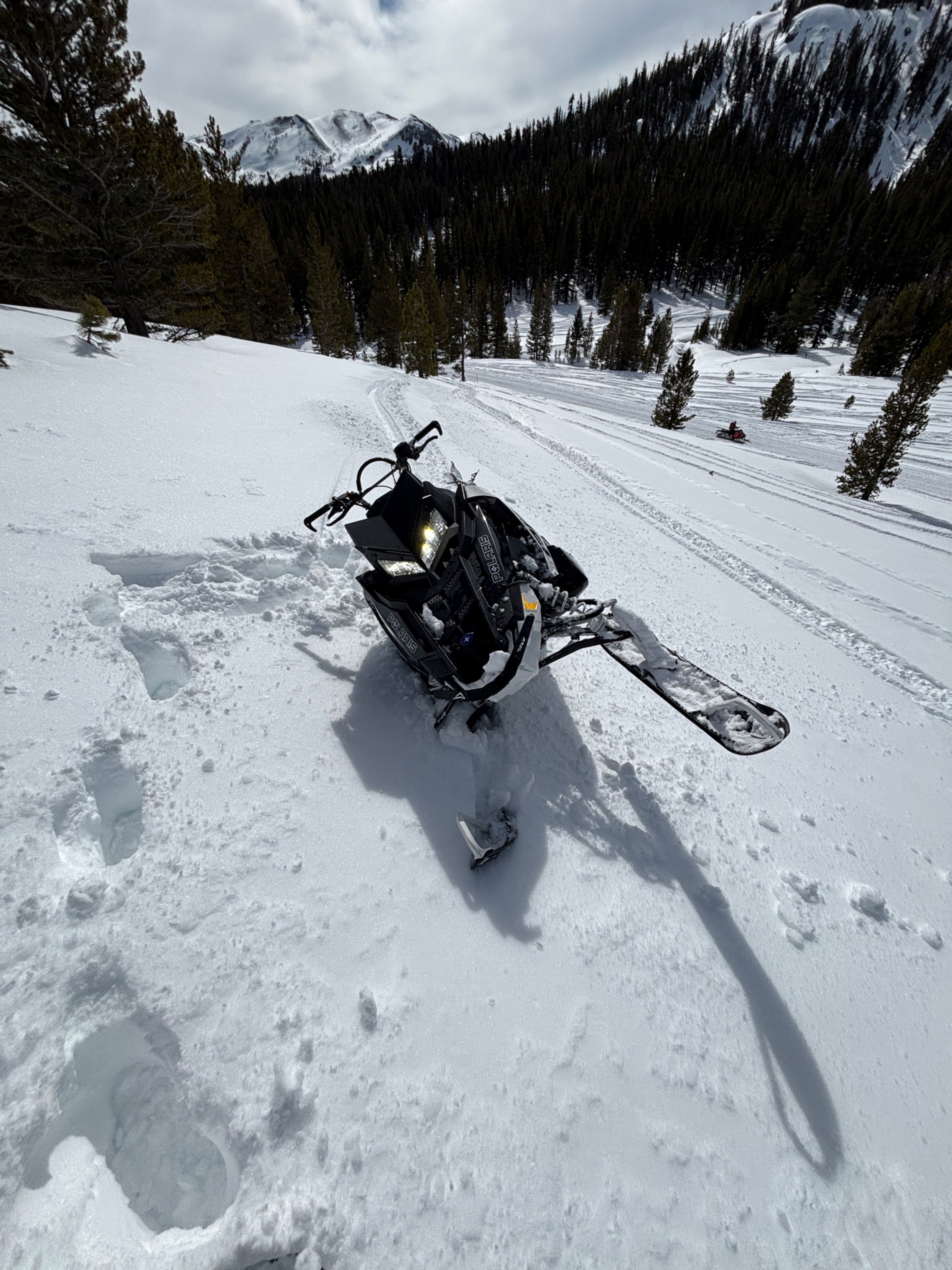
Today we took a short snowmobile tour in the BWRA to get a picture of the snowpack conditions before a forecasted rain event tomorrow on Tuesday 2/24/26.
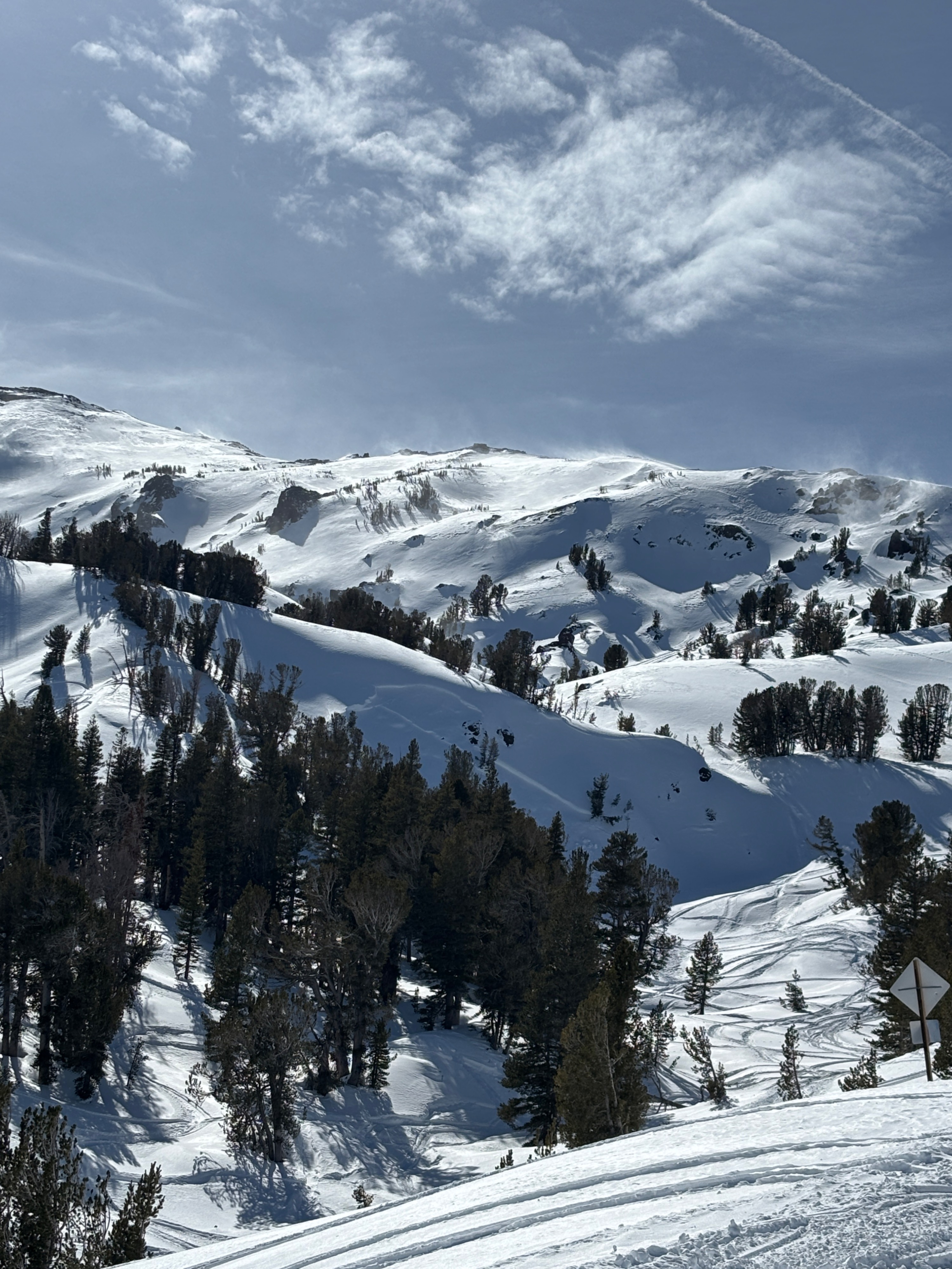
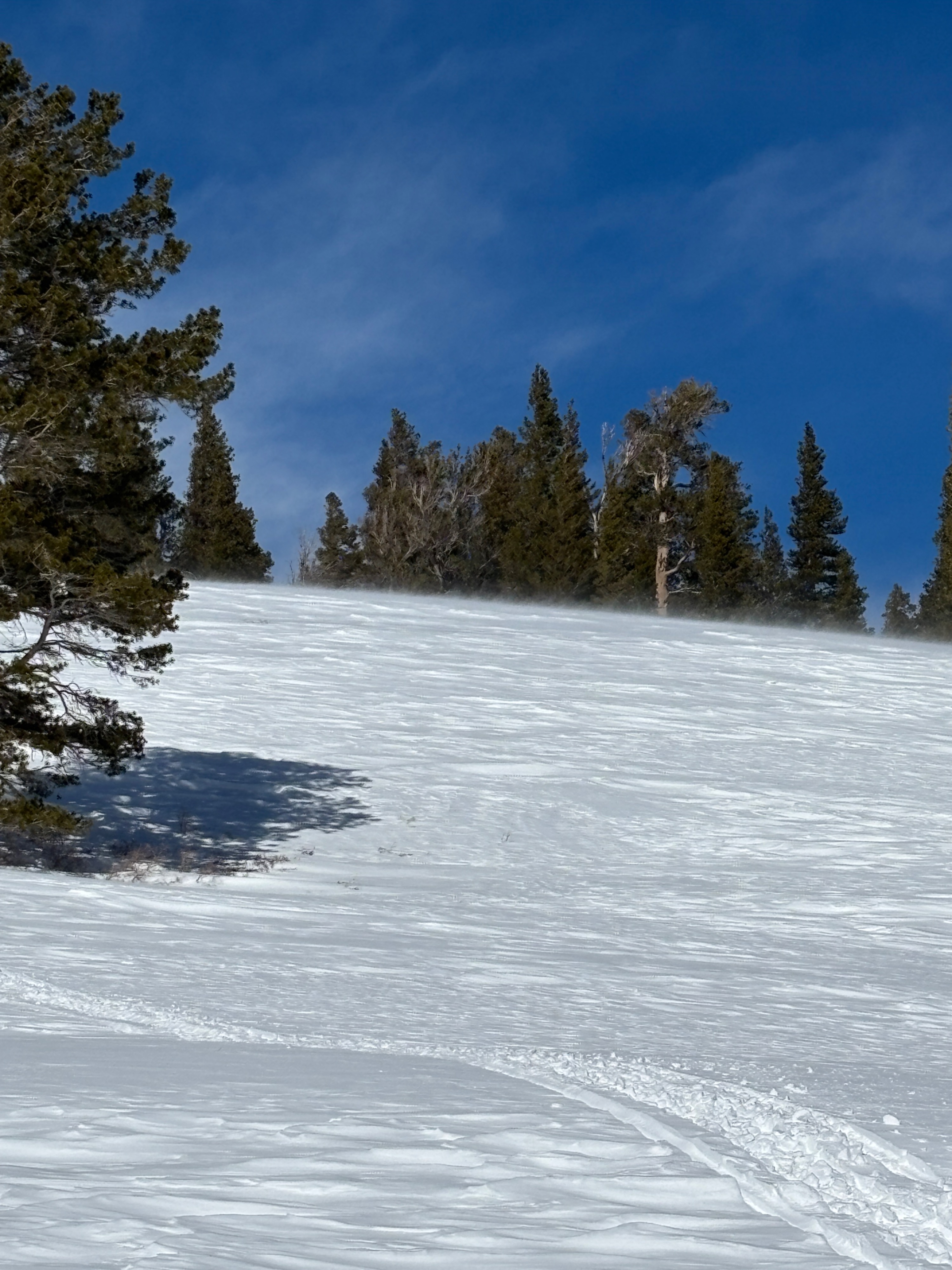
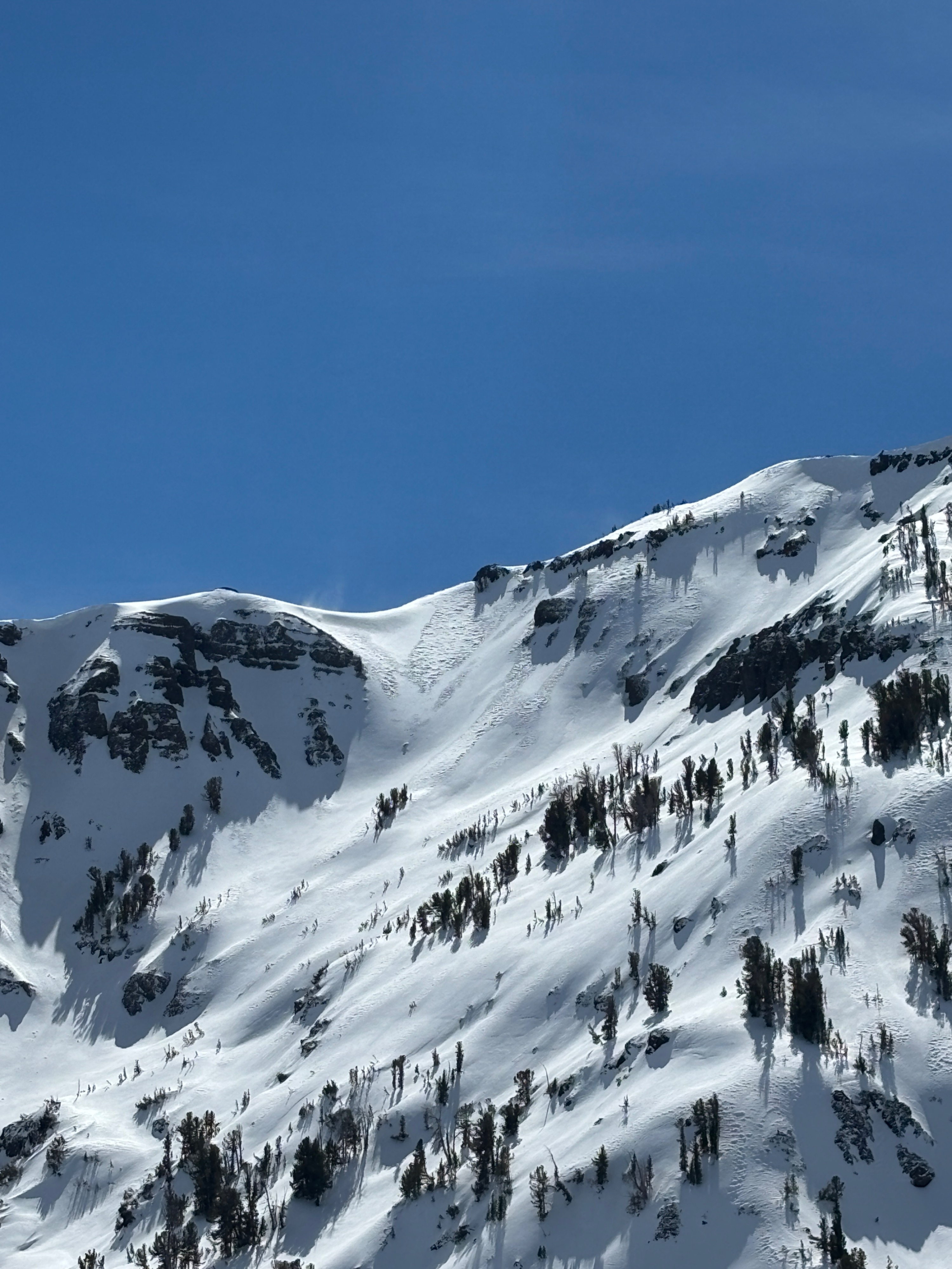
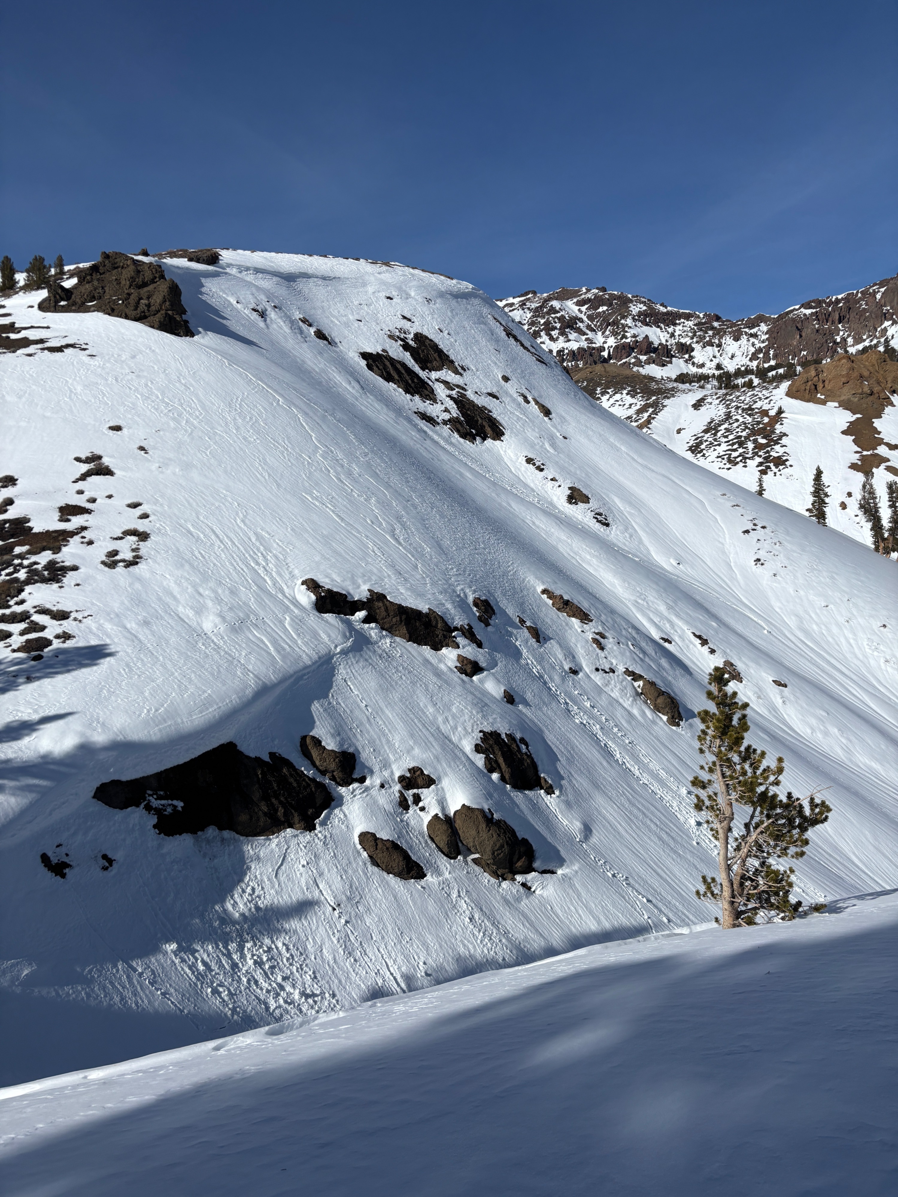
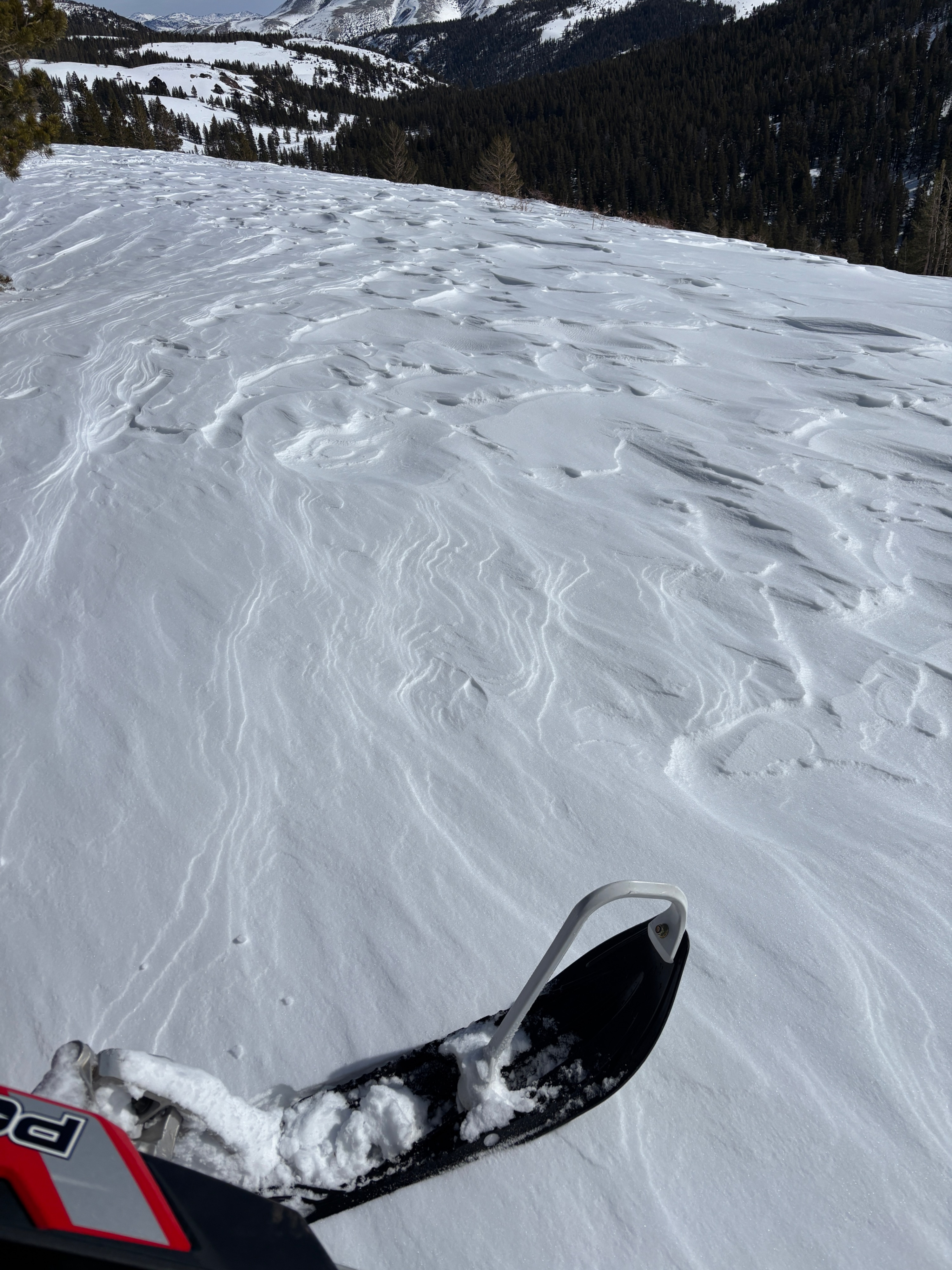
The first thing we took note of on the way up the road was the significant warming that had occurred. Snow was wet and saturated below 8,000 ft on all aspects by 1000. As we made our way up in elevation we were able to find cold snow surfaces in the trees and on shaded aspects in the Sardine Meadow Area (8,500ft). The forecasted SW winds picked up and we were able to see wind blown snow being transported on ridgelines. At the Pass (9,600ft) wind speed was noticeably stronger and we saw increased flagging on the peaks and ridges.
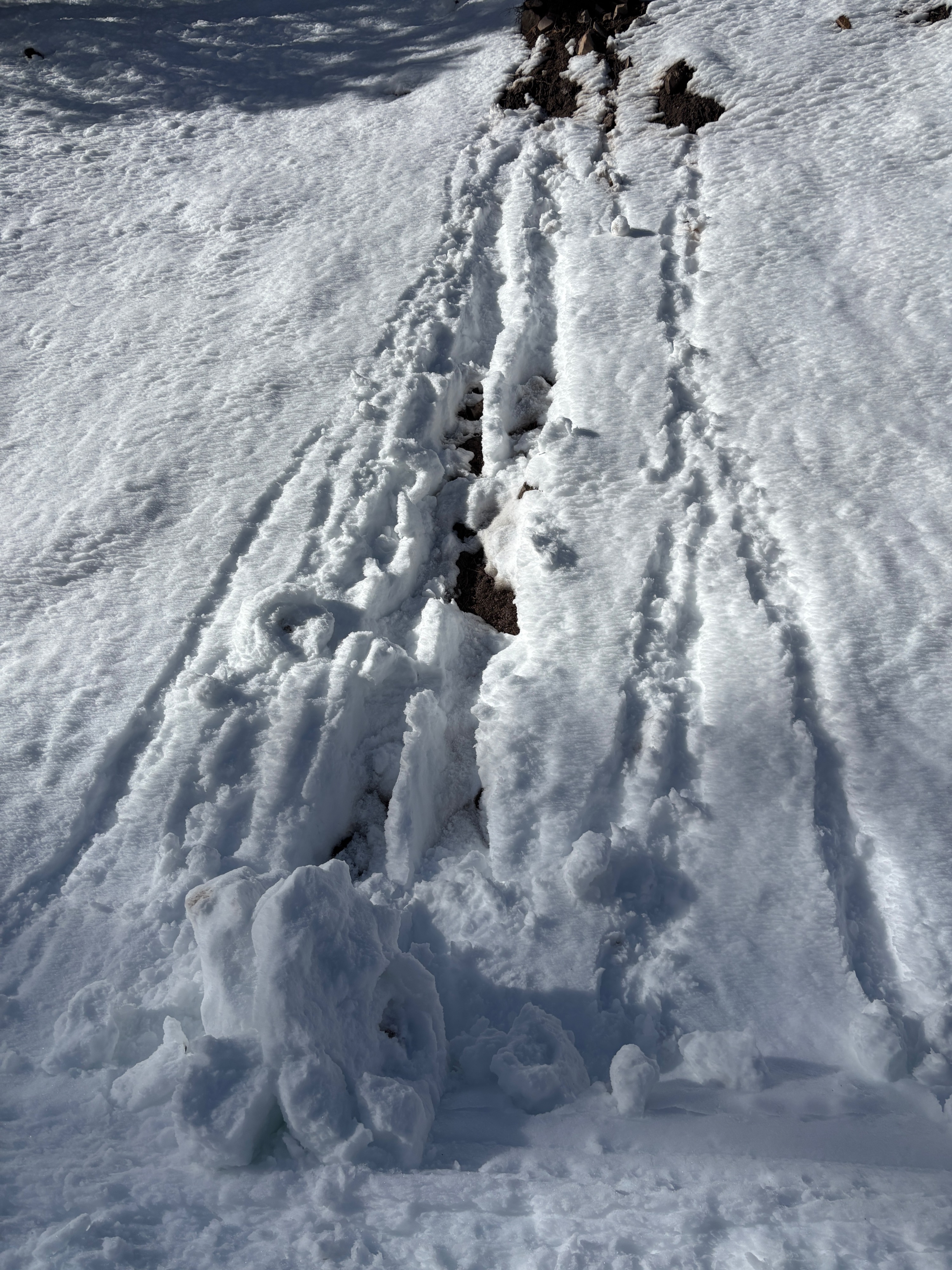
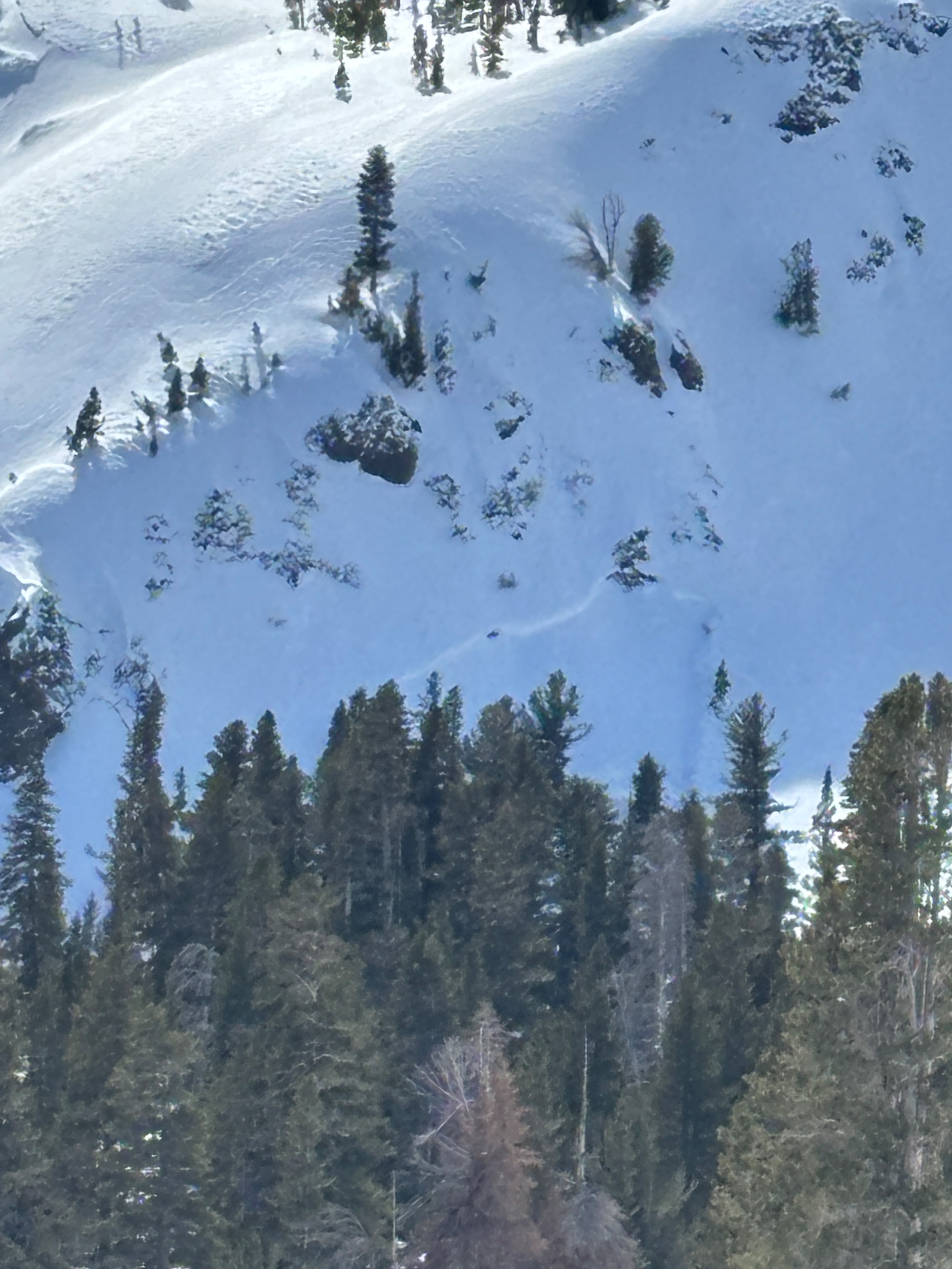
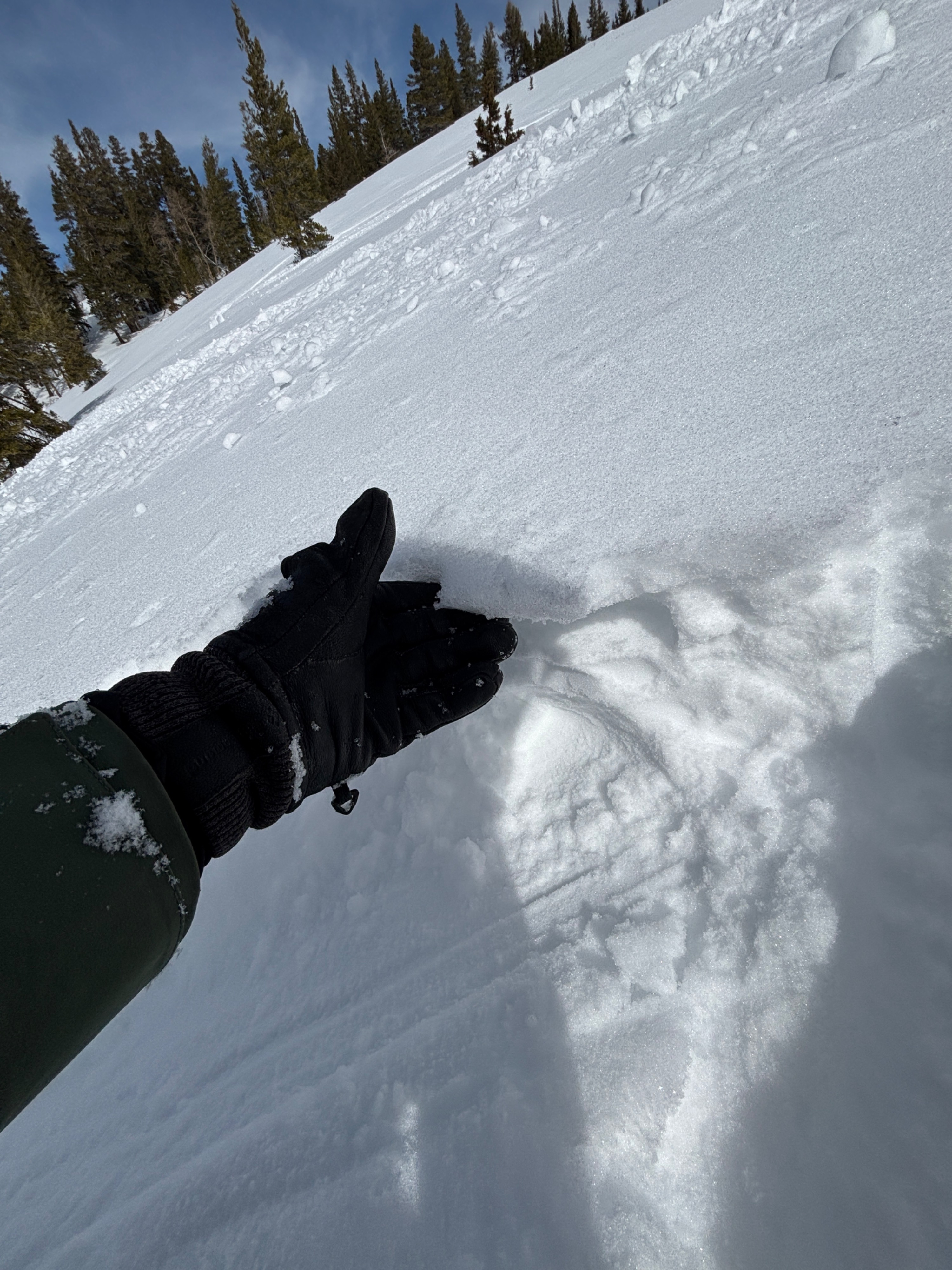
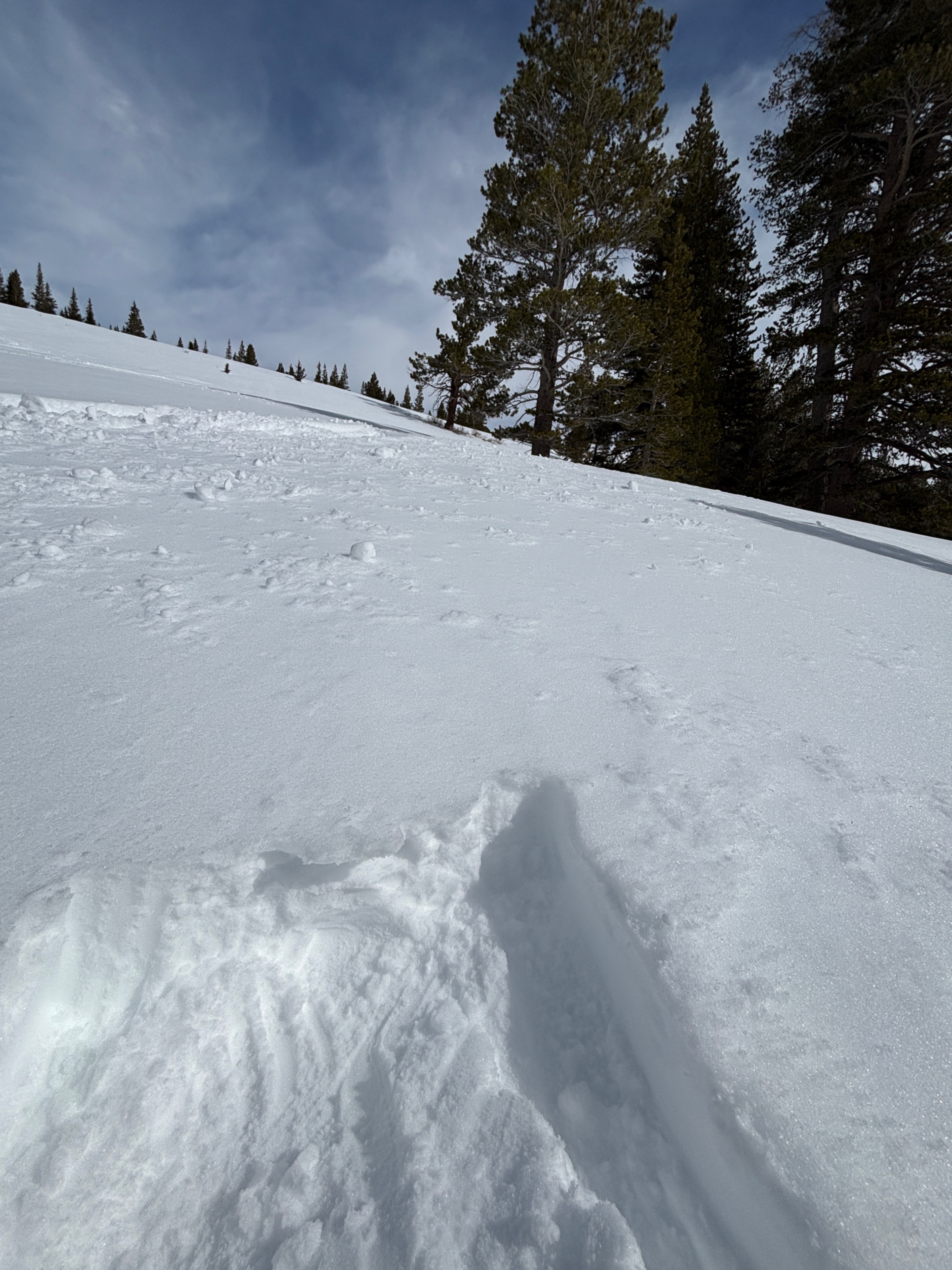
On the way out we saw roller balls and pin wheels on S aspects from 9,400 and below.
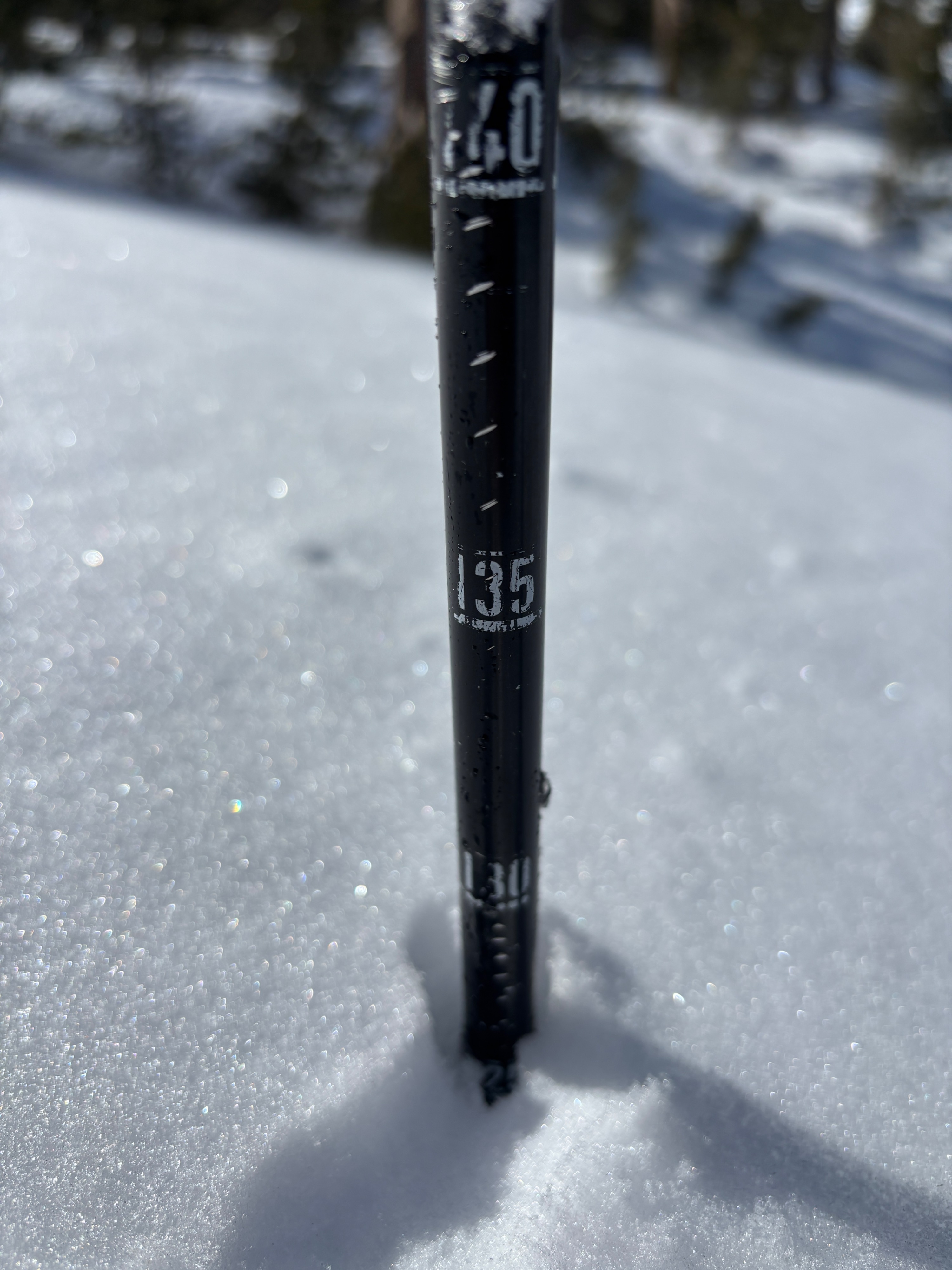
Probing revealed the Feb 10th crust layer is between 120 cm and 150 cm deep in most of the BWRA. With wet weather arriving tomorrow Avalanche danger will rise.
Weather
- Air Temp
- 35
- Cloud Cover
- few
- Wind Loading
- intense
- Rain Elevation
- n/a
- Recent Snowfall
- 0
- Snow Avail For Transport
- moderate amounts
Partly cloud skies parted this morning to make for a pleasent day until SW winds increased in the afternoon. A high of 35 with winds in at 12 MPH and gusting into the 30-40 range by late afternoon.