
Quick report
- Cracking
- isolated
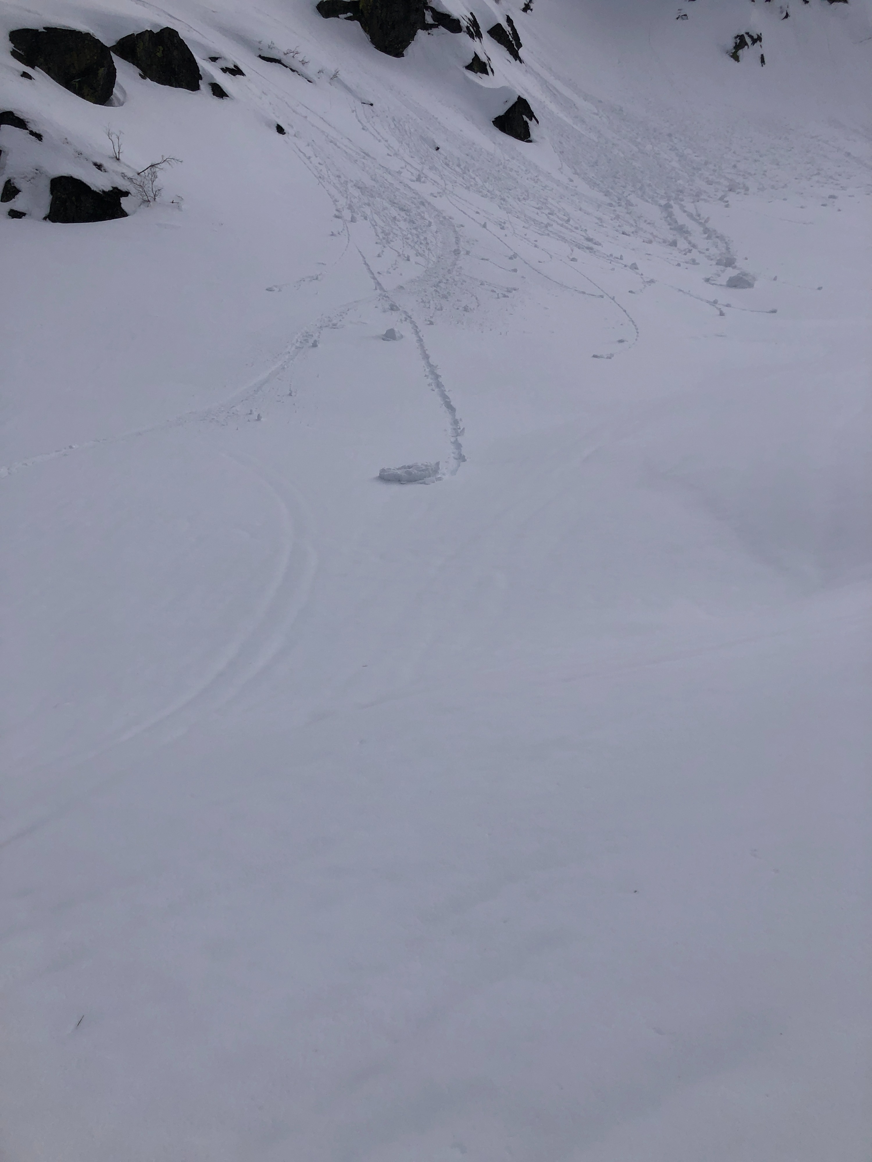
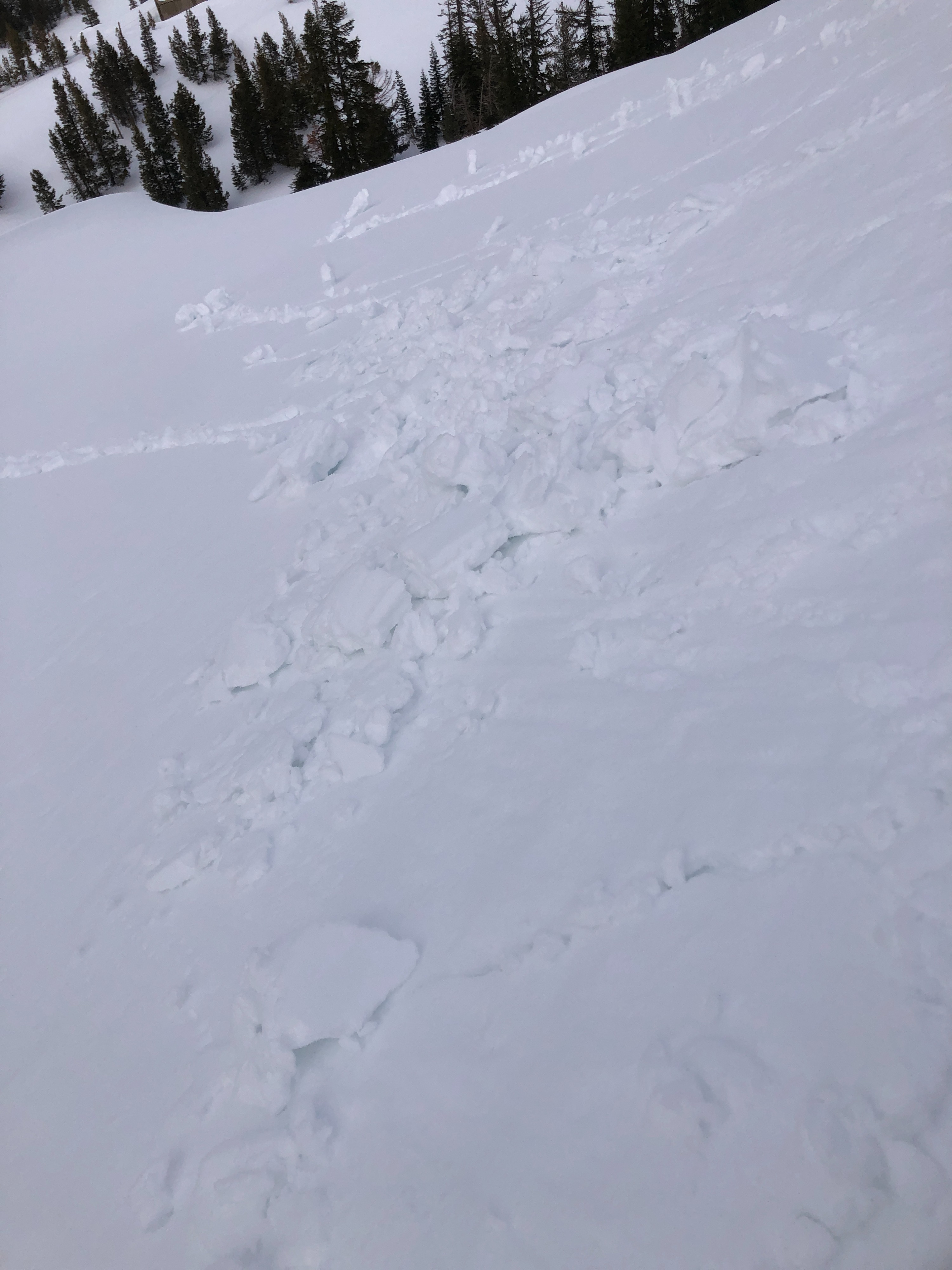
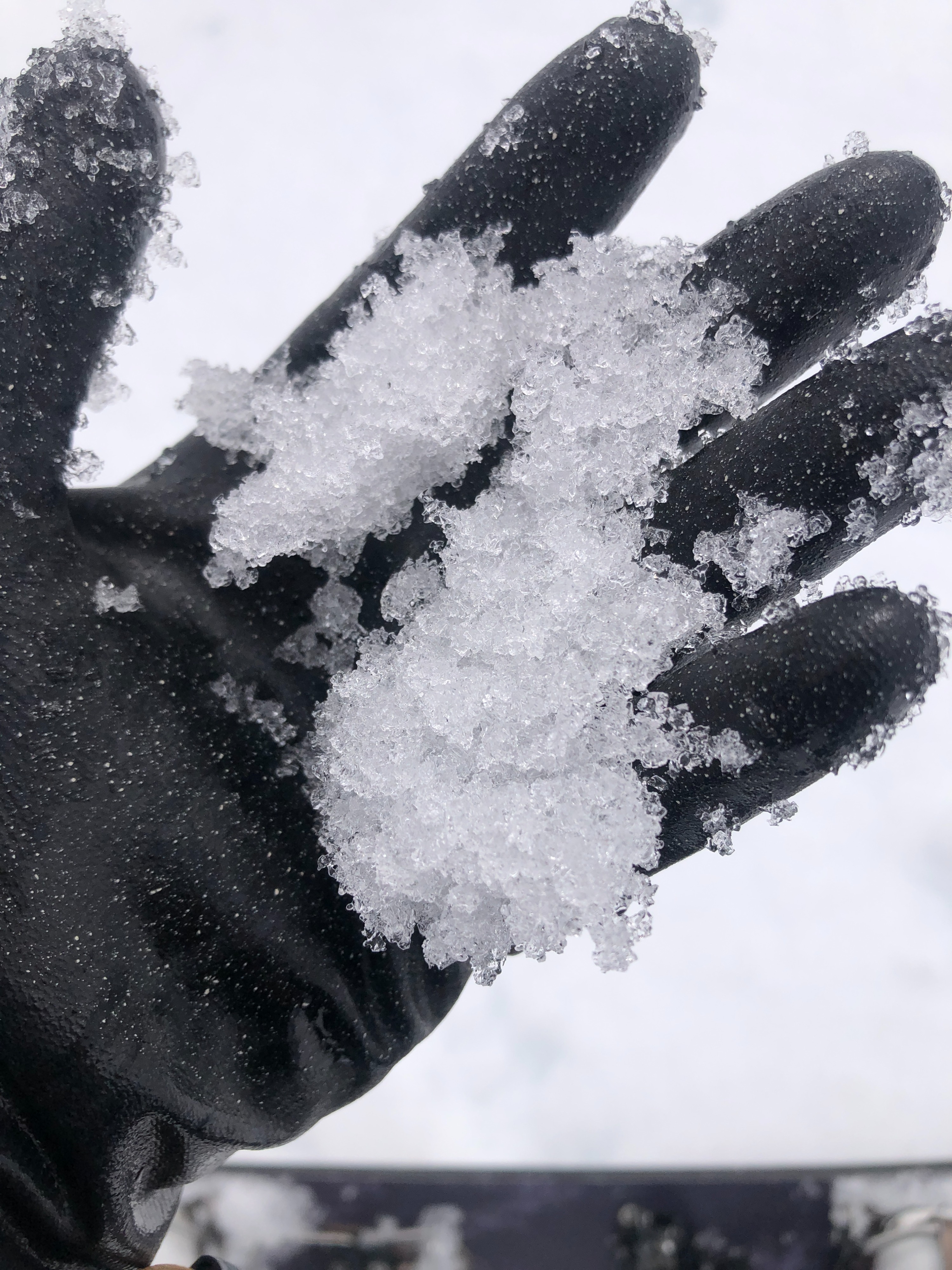
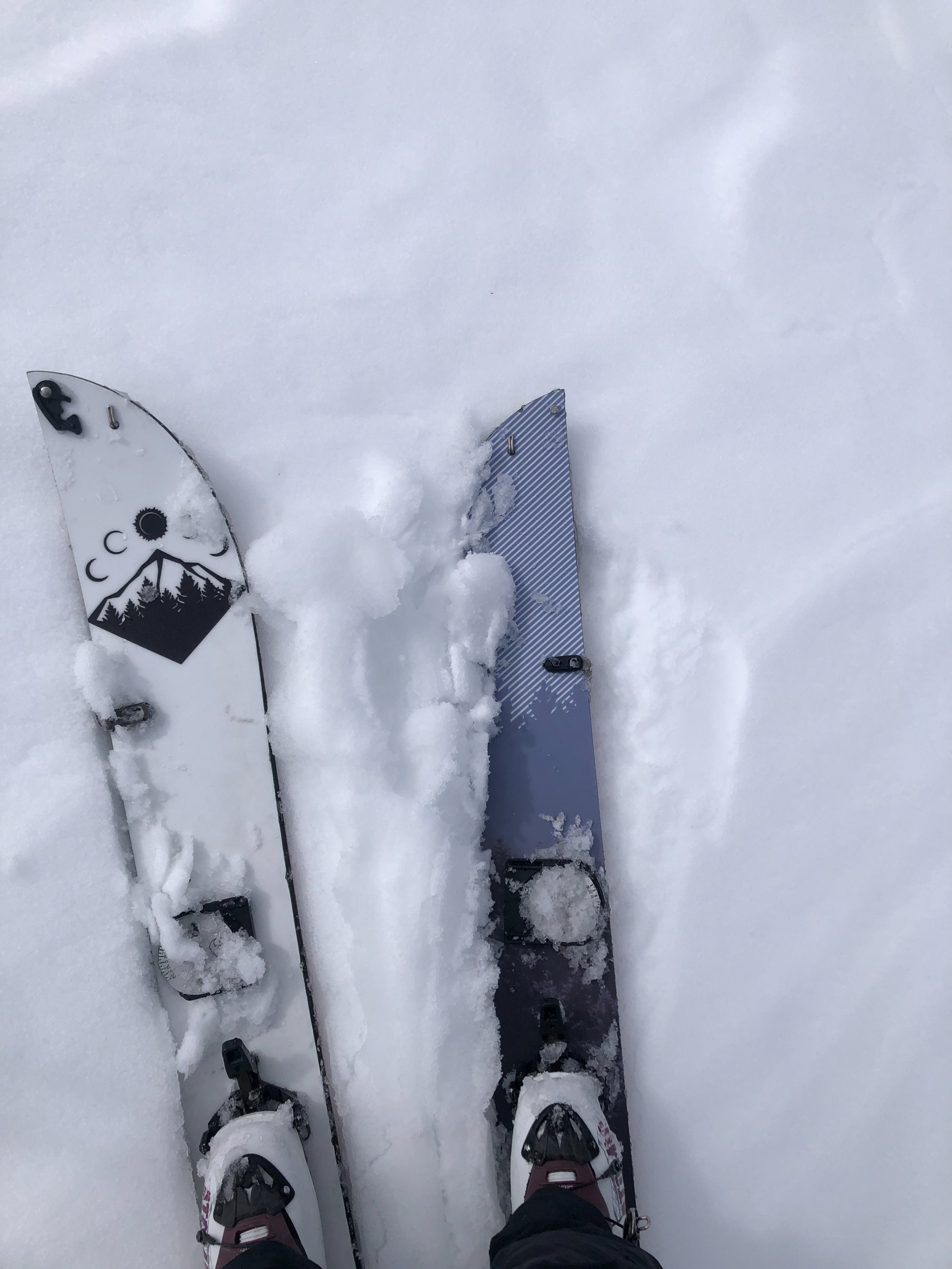
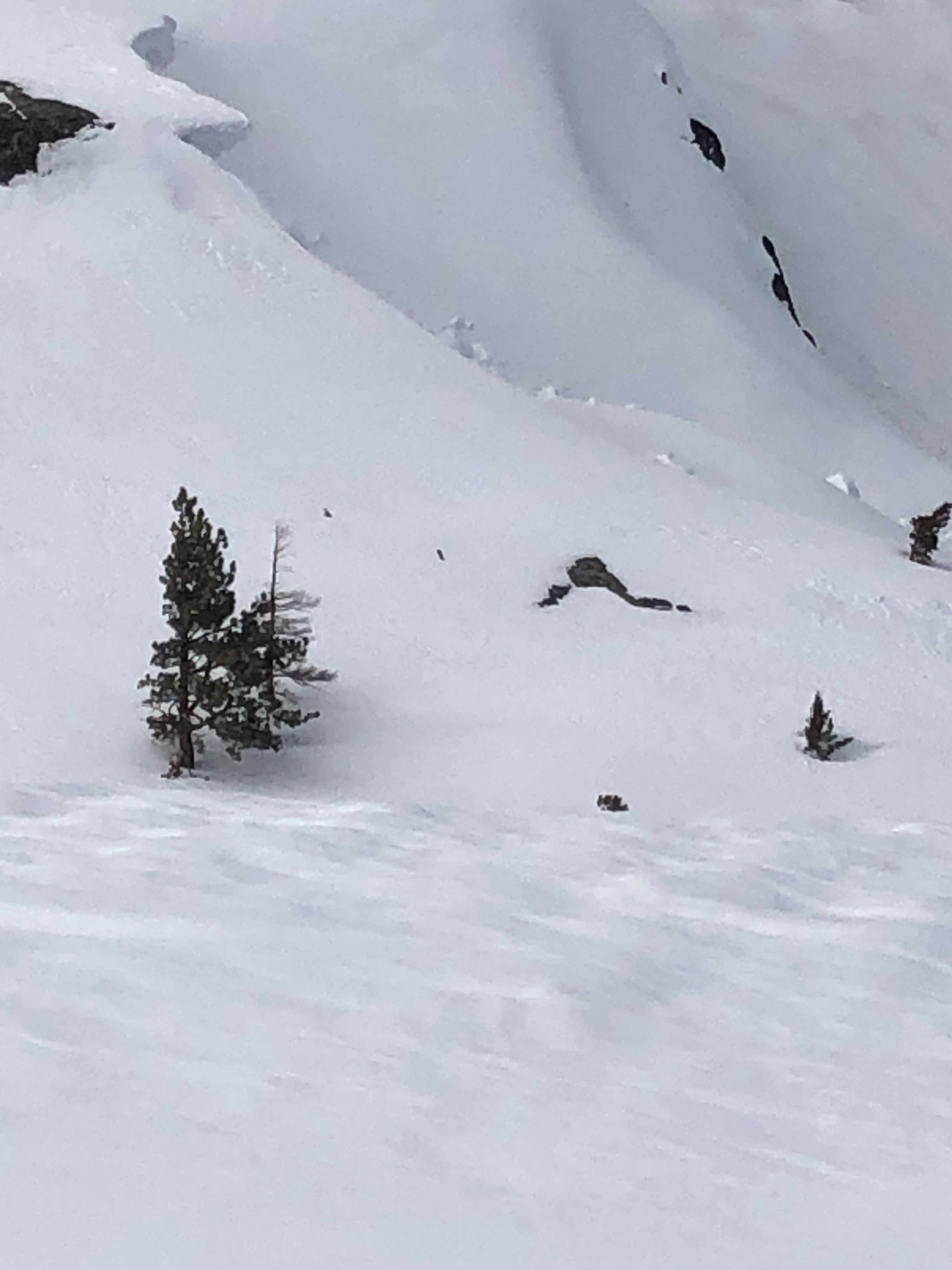
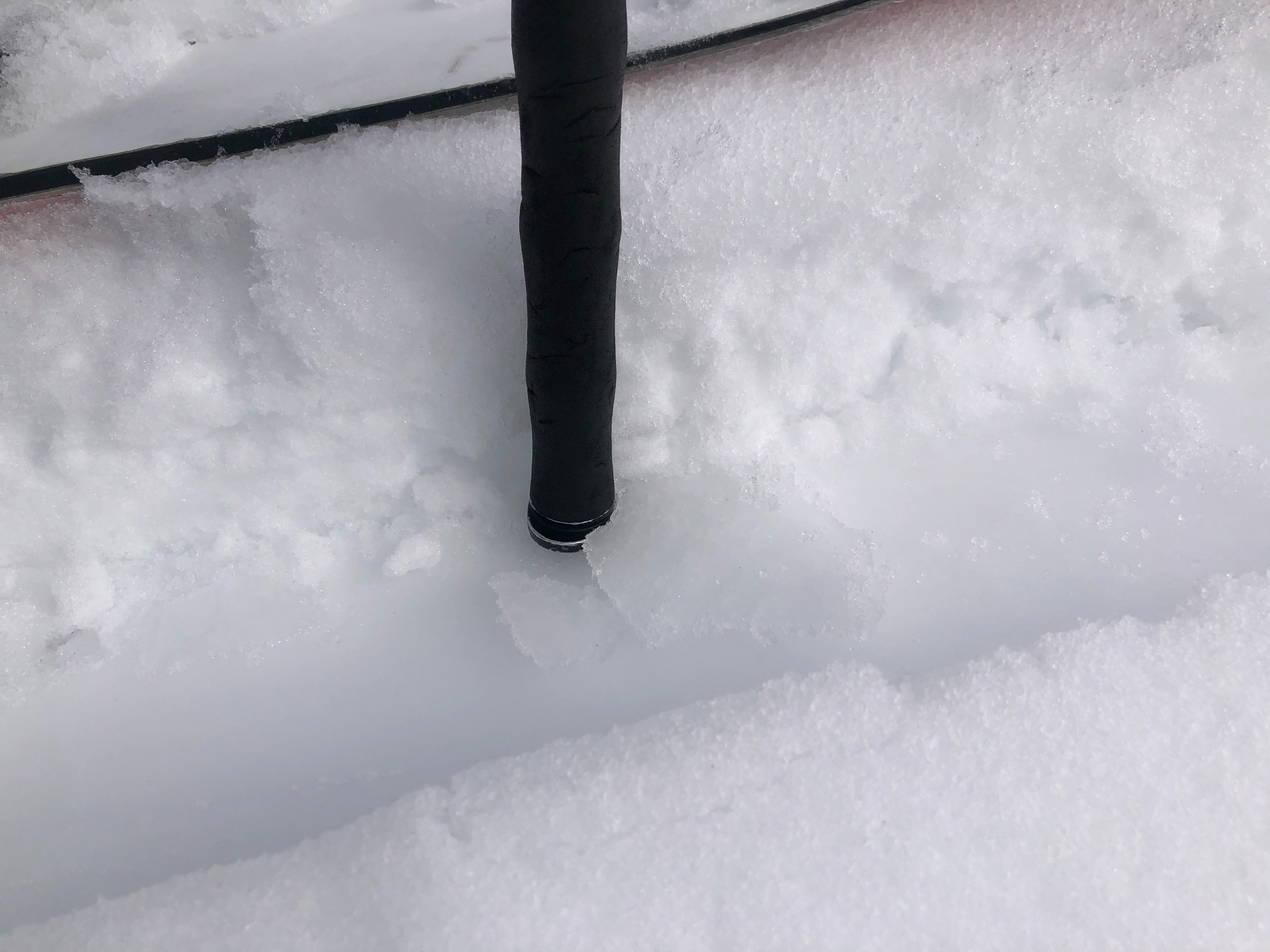
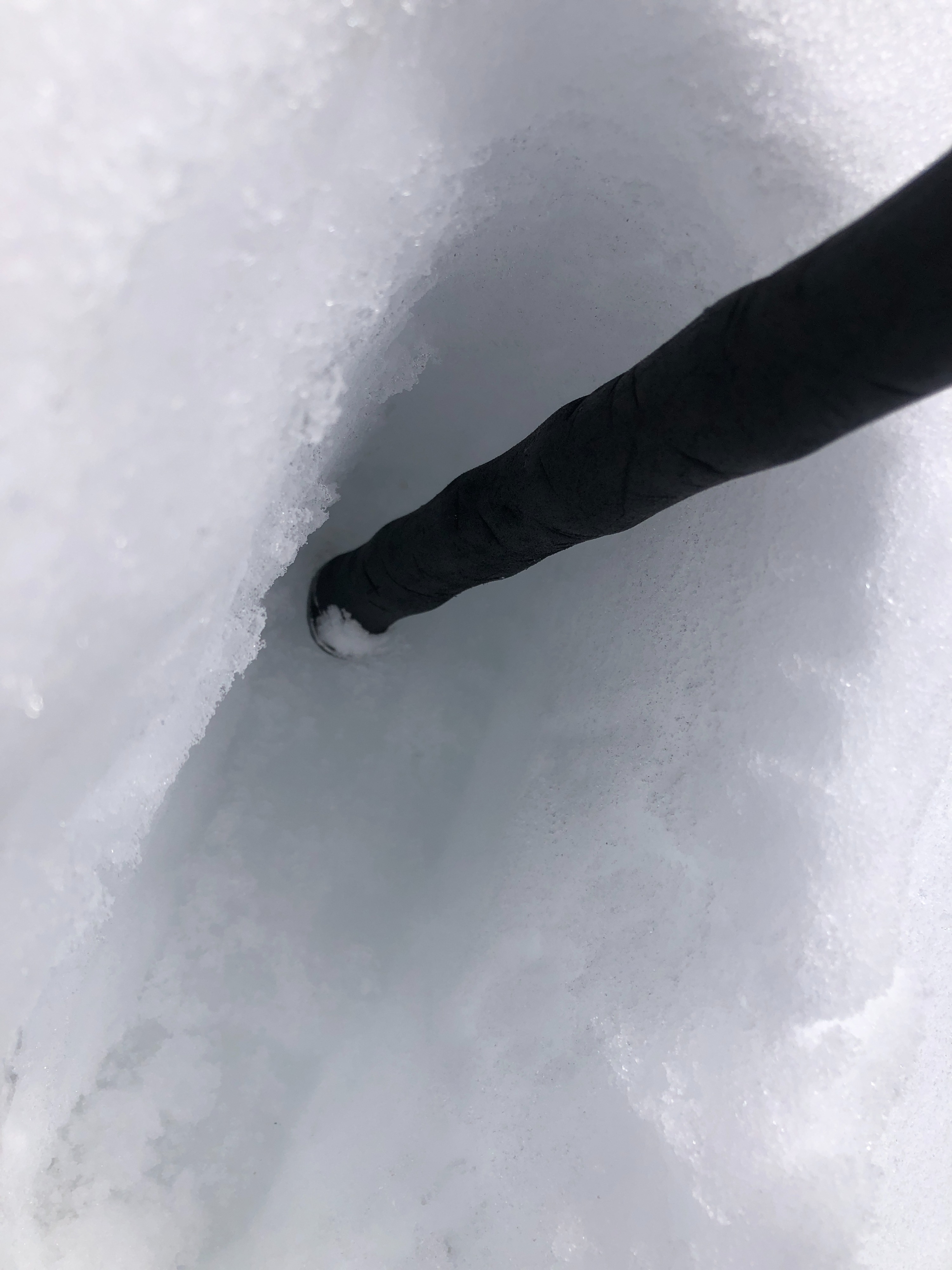
Early morning south facing slopes held nice corn like snow over a supportable crust. By 1130 hrs, the snow up to 9000' was wet and sliding on the crust, making for difficult travel conditions. North facing snow was "mushy" @ 8000' by 1300 hrs, with significant ski and boot penetration. Water has percolated through multiple crust layers in the upper snowpack, but has not penetrated them all. Snow was sliding on one of the various crusts 5 - 15 cm down. Many rollerballs were set off, and significant pinwheeling was observed. Riding was very sticky, and travel back to the trailhead was quite difficult. While winds picked up slightly as the day continued, it was not enough to counter the high temperatures and instigate a refreeze or crust formation by 1400 hrs. Many point releases near rock features were observed at all elevations.
Areas that received any amount of new snow held wet surface snow on top of variable surfaces, including breakable and unbreakable crusts; this new snow warmed up and was very wet and not bonded to the variety of crusts, and was sliding; significant pinwheeling was observed, as well as rollerballs and point release slides near rock features; a cornice failure was observedWeather
- Cloud Cover
- scattered
- Rain Elevation
- 7000 - 8000'
- Recent Snowfall
- 1-3 in
Scattered clouds, increasing as day continued, light SW winds, also slightly increasing as day continued, trace amounts to 3 in of recent precipitiation from the last 24 hrs, no blowing snow - exceptionally warm temperatures throughout the day and on and off direct sunshine