
Quick report
- Cracking
- isolated
This was an observational tour to determine the effects of the wind, the distribution and sensitivity of wind slabs, and the general conditions following Saturday's storm.
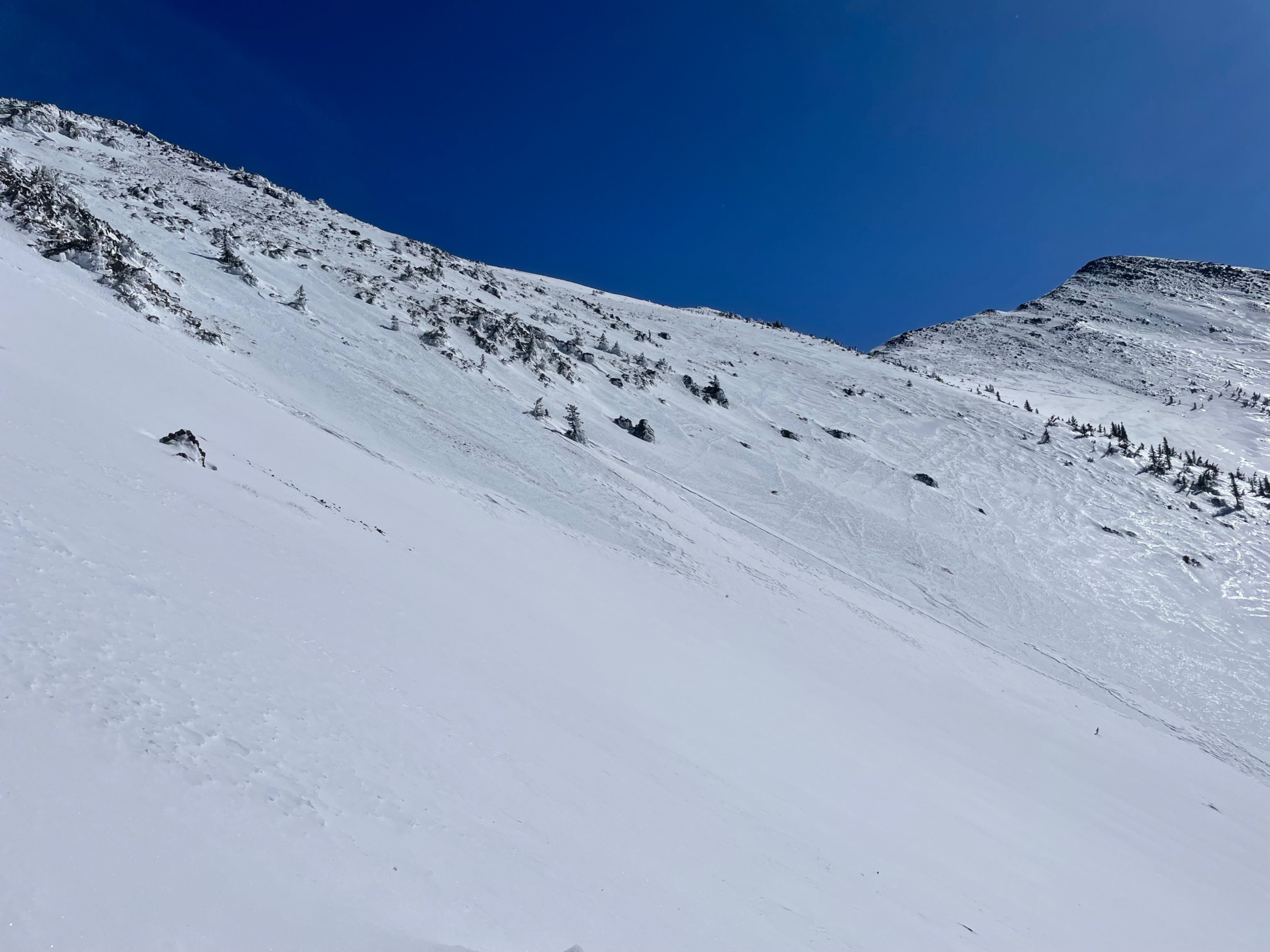
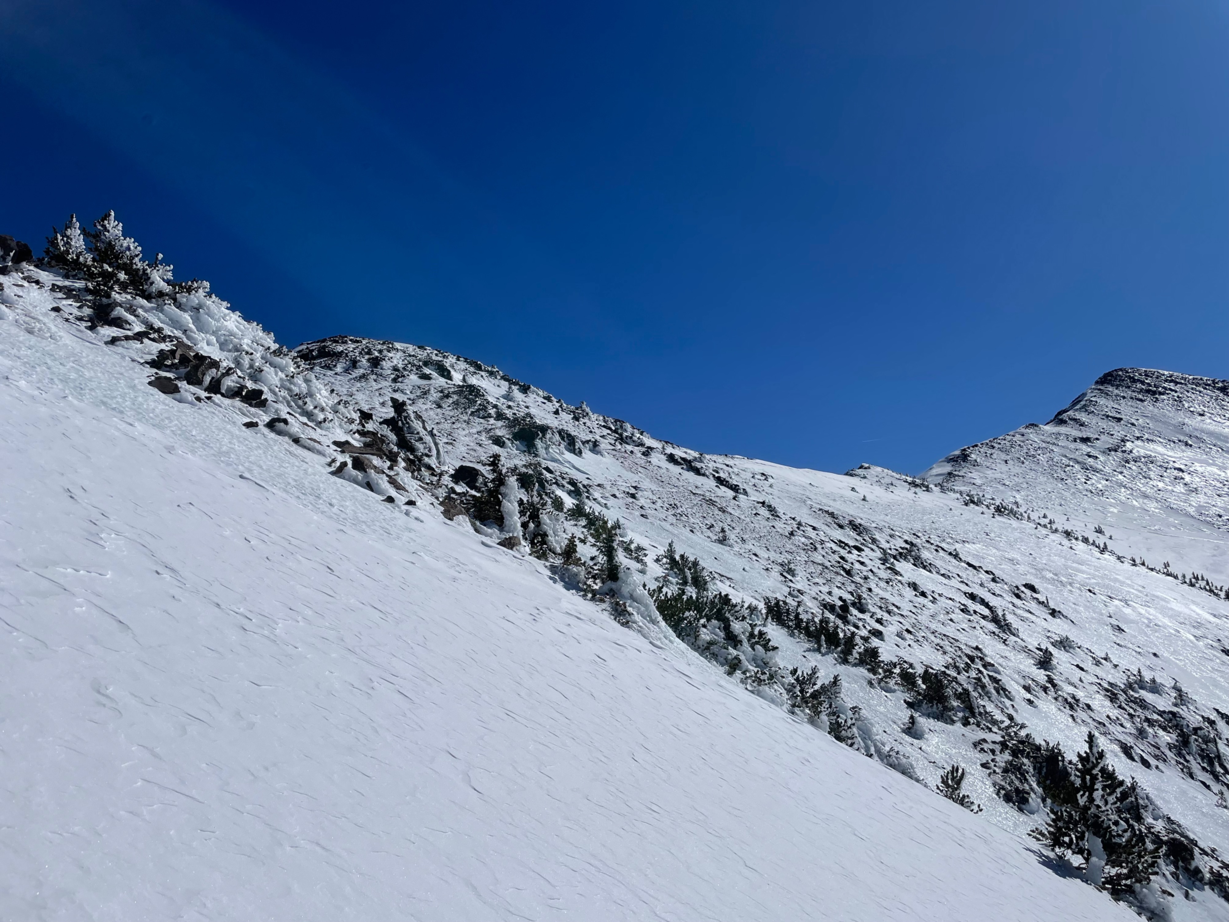
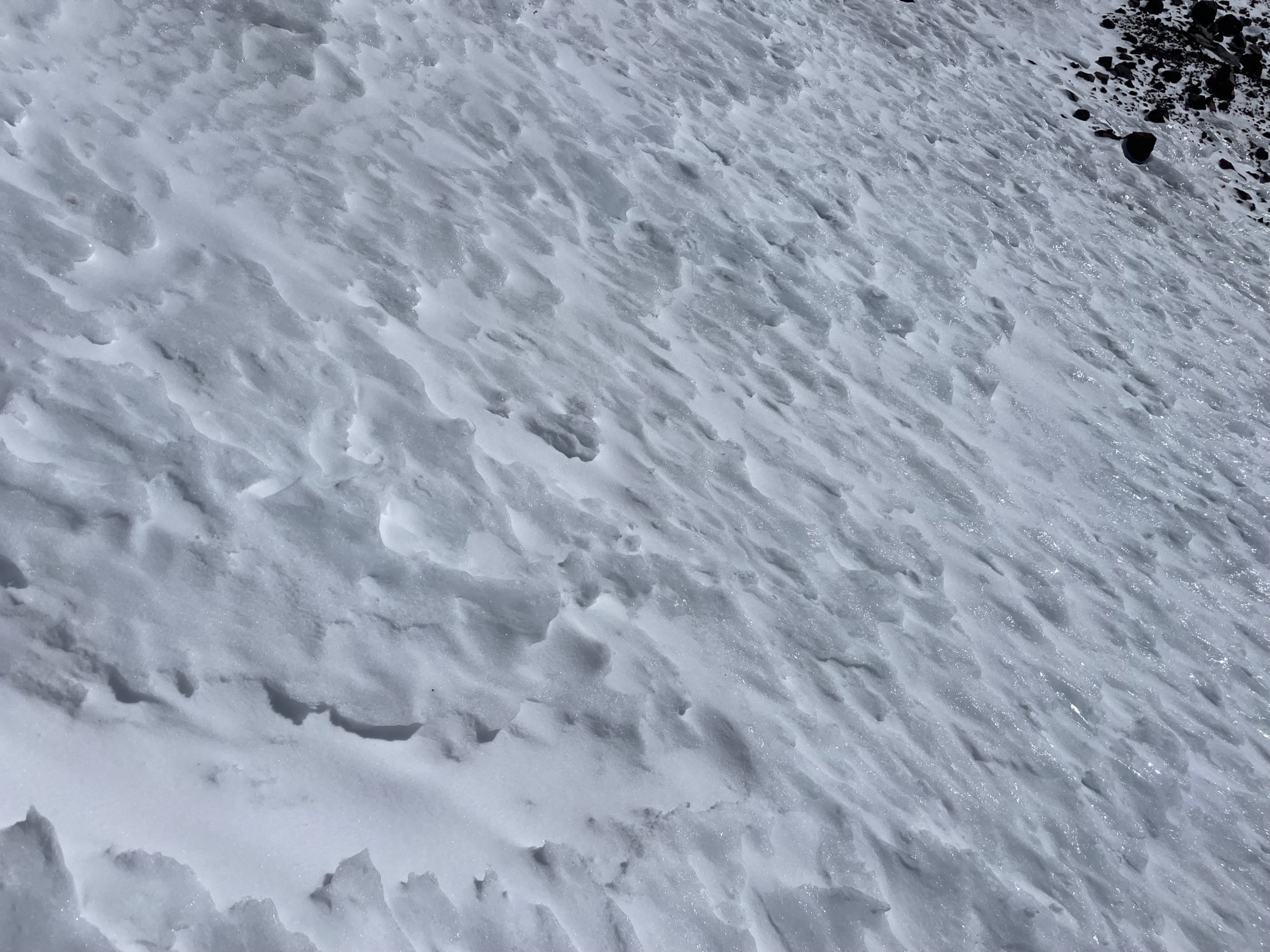
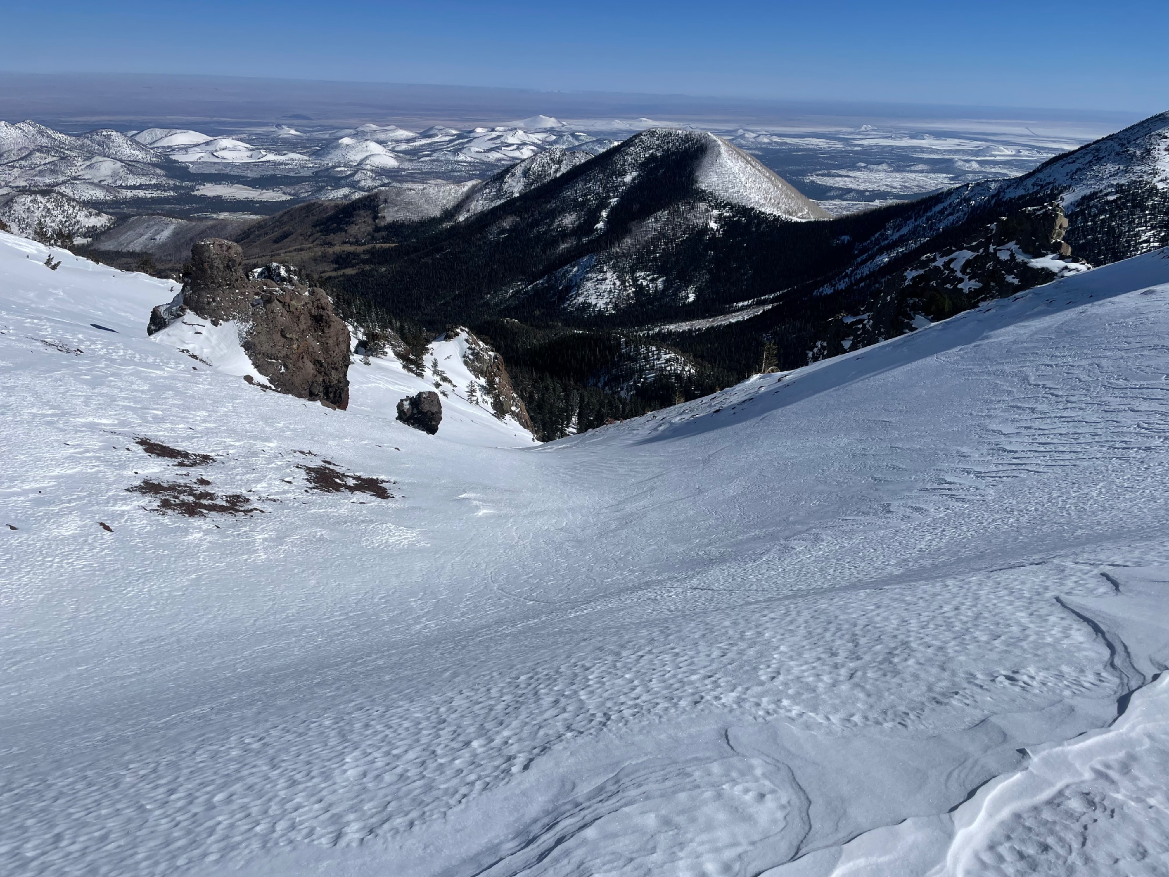
The above treeline terrain provided for marginal skiing, but amazing mountaineering. If you don't care about making turns, but have the equipment and skills, it's a wonderland of ice and snow drifts in the high country. Traveling in this terrain is not for beginners. For instance, I started by transitioning from downhill to skins, then added ski crampons, and then packed the skis and added crampons to the boots--three transitions in 2,000', slightly ridiculous. I did pull out the piolet, but never used it, crampons and poles were sufficient for travel in steep terrain. Crampons were a necessity on terrain above 30 degrees. Snow surfaces were challenging to read today. It was difficult to tell if the slope would be 30 cms of soft snow, 5 cms of wind-affected surface, or pure ice. This made uphill navigation a little more challenging than usual.
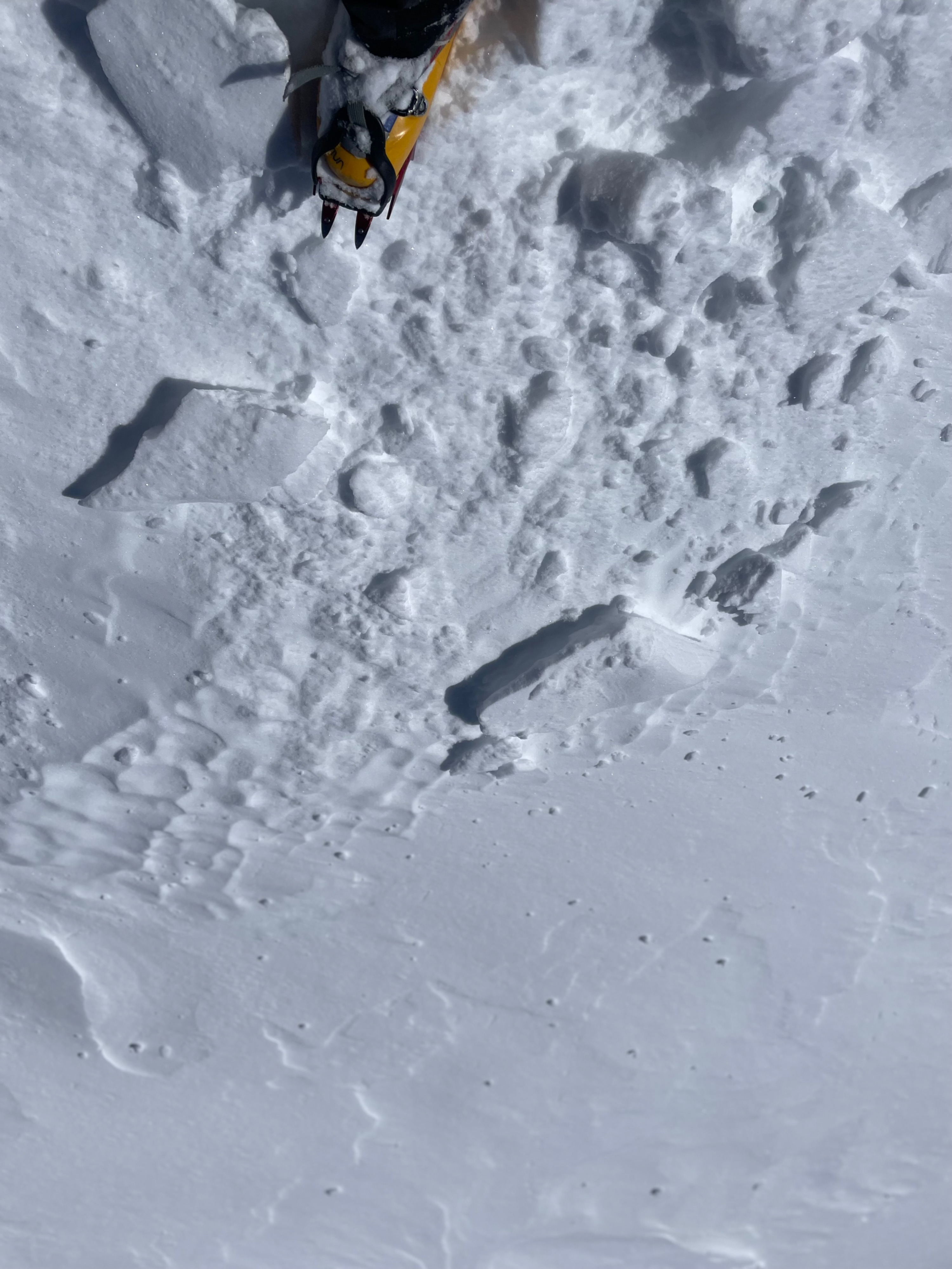
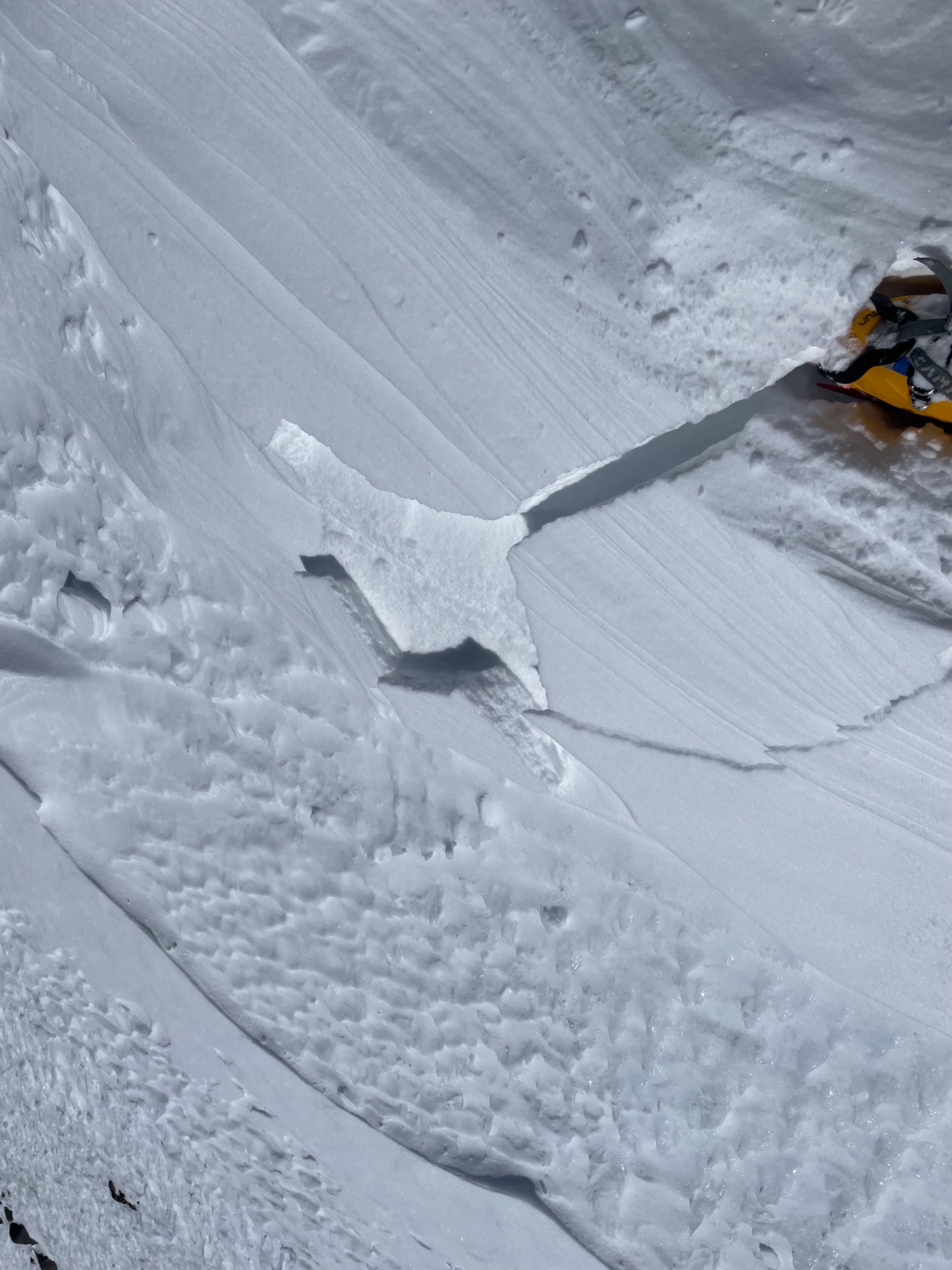
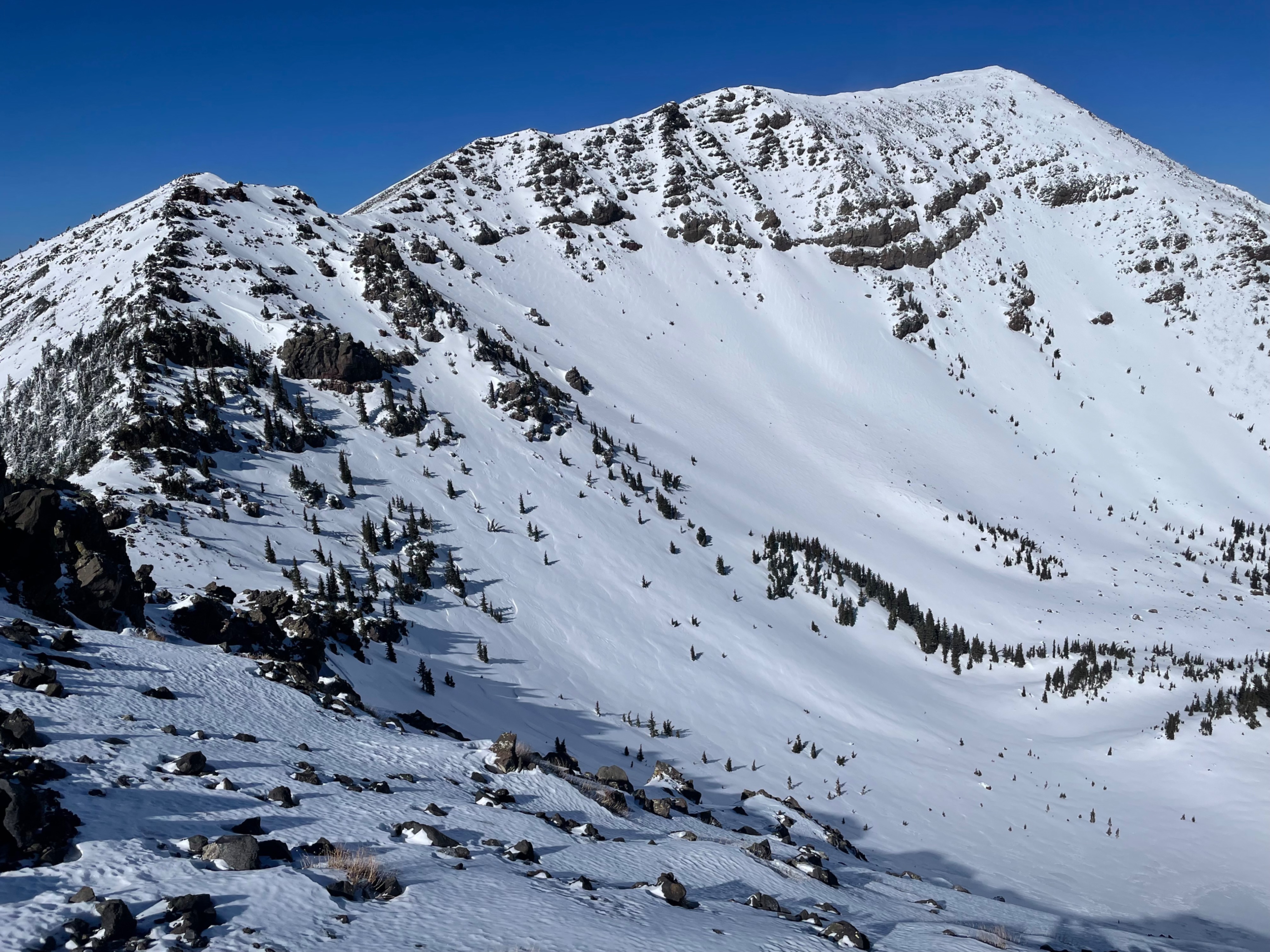
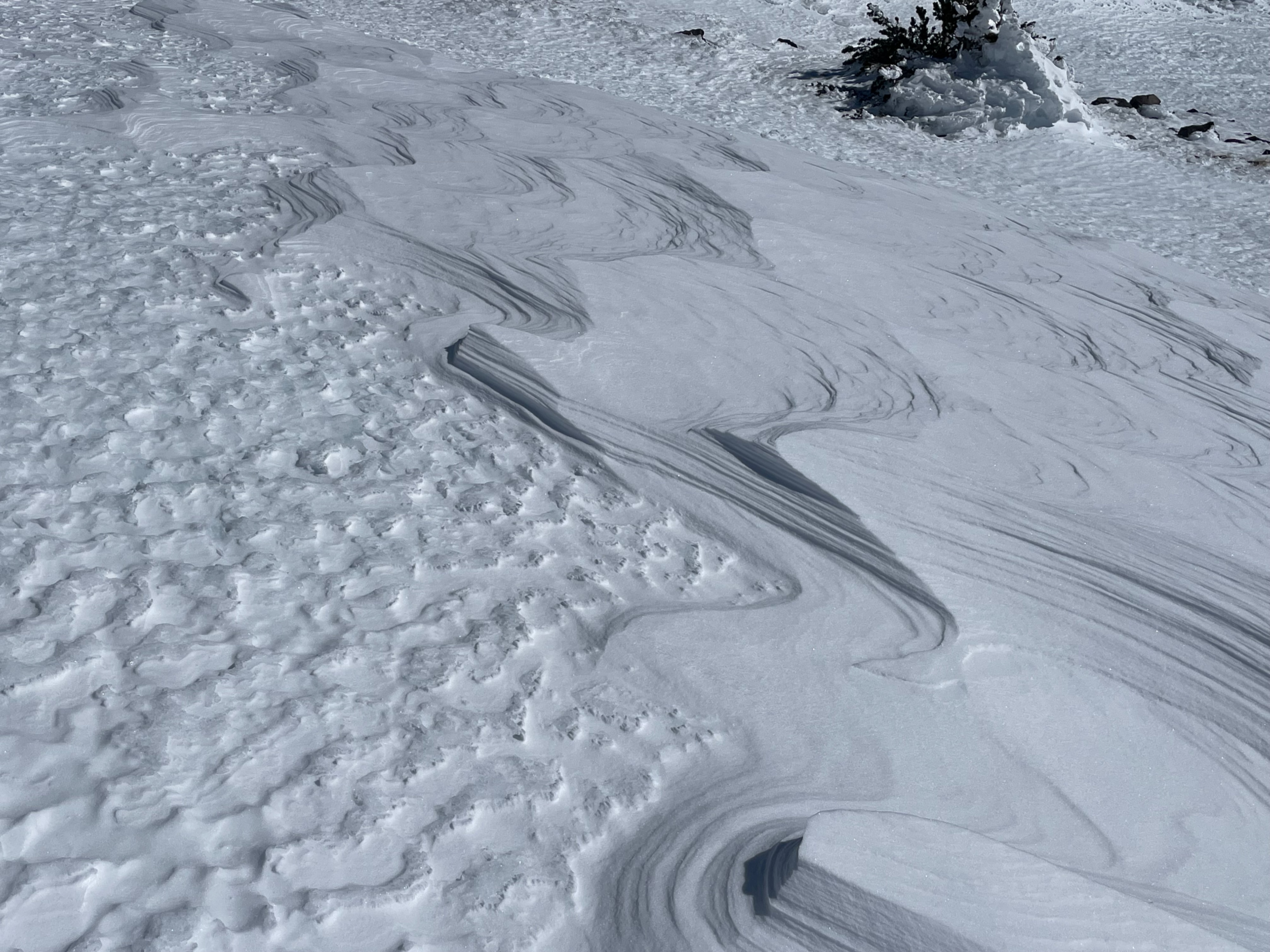
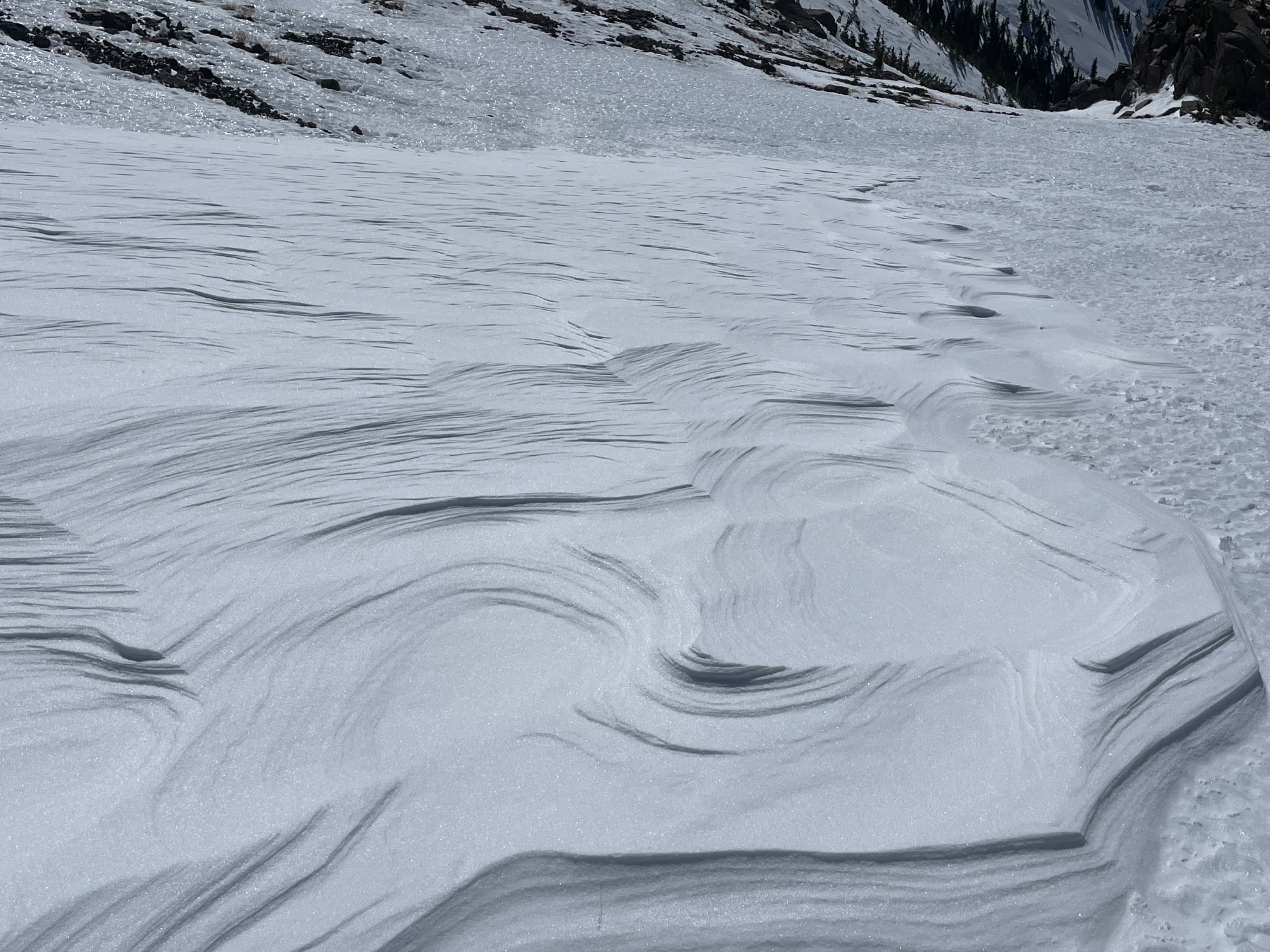
There was some instability observed today in very isolated wind drifts below the ridgeline. Most wind drifts were not reactive, but very isolated pockets in two test slope locations moved. Hilariously enough, both were just a few feet above semi-exposed talus fields, so the circumstances of this particular hazard were very inconsequential. In contrast, if these wind loaded pockets were to release above some slopes in the Humphreys Cirque, they could send a skier or rider down a thousand feet and land them in the exposed end-of-slope talus. Mid-slope open areas and below contain wind-hardened new snow. In these NTL areas the new snow has mostly bonded to the ice layer. No cracking or movement was observed on these larger slabs that have formed on slopes near treeline. Most ATL areas were stripped down to the ice layer, and in some steeper zones, it appeared as if the snow may have dry-loose released from the ice layer following wind hardening. Wind drifts varied in depth from a few inches to over 24". The softest and most consistent snow was found in the trees.
This wind slab hazard observed today will likely continue for another 24 hours.
There was minor snow transport by wind during the tour, but very little snow near treeline and above that is available for transport. Both upslope and downslope winds were observed, while north winds dominated ATL ridgelines.
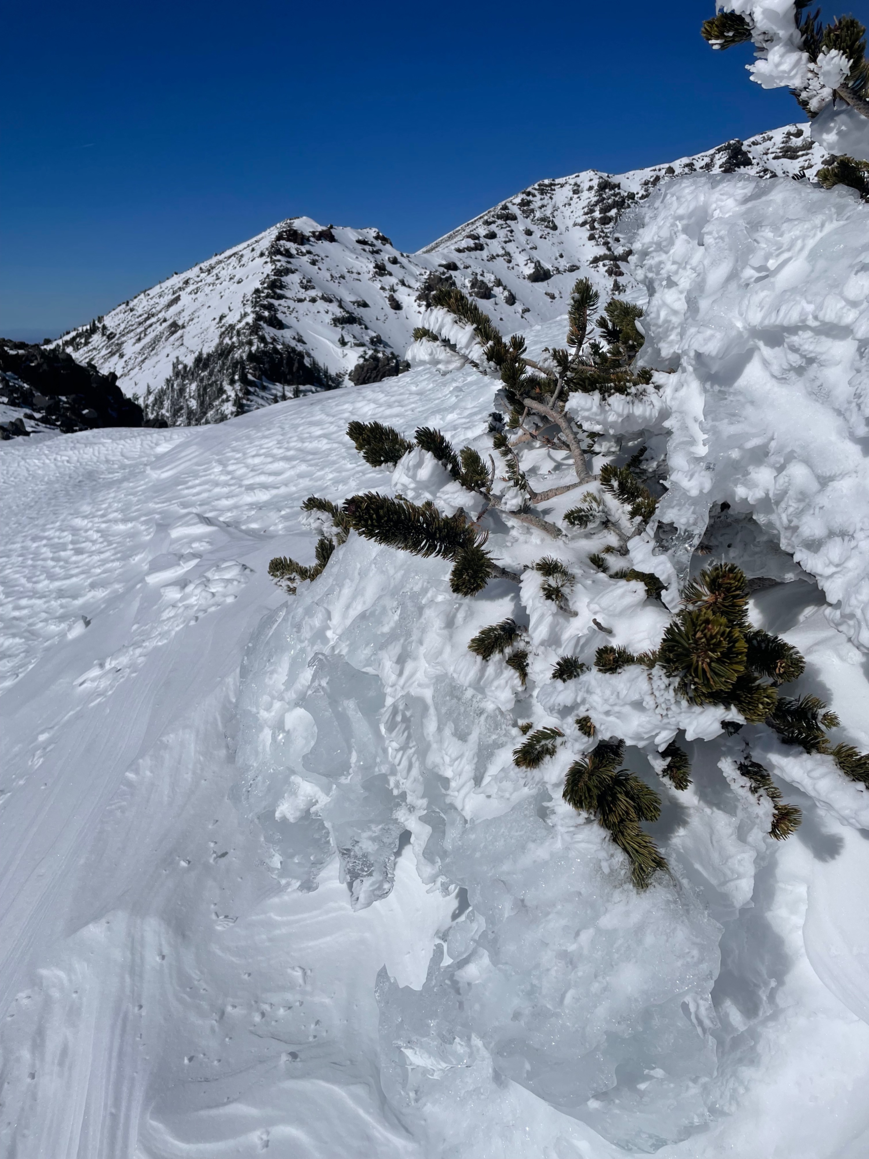
The ice layer is taking on a slightly more textured appearance--likely as the result of softening and melting. Relatedly, in the Inner Basin, there were some nice-looking lines from mid-slope down--getting to them was the problem.
In summary, this storm improved conditions in the shortterm, but added little to overall snowpack depth and the quality of conditions.
Weather
- Air Temp
- 20
- Cloud Cover
- clear
- Wind Loading
- intense
- Recent Snowfall
- 13 cms
- Snow Avail For Transport
- small smounts
Sunny with winds 15-20 mph and gusts into the mid-20s out of the north. Generally cold, but with the sun providing occasional warmth on high angeled slopes.