
Quick report
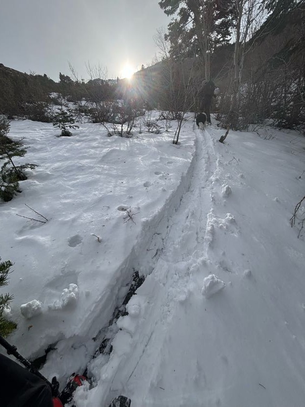
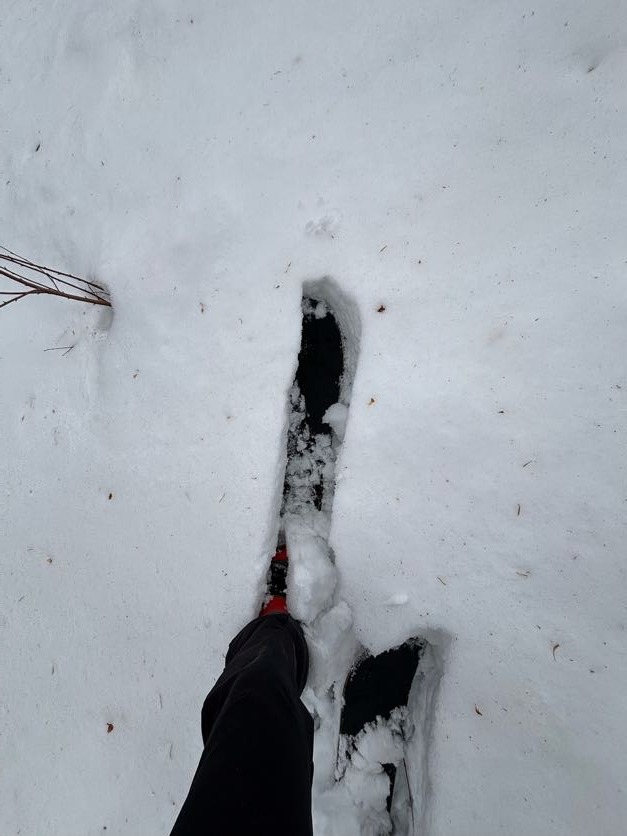
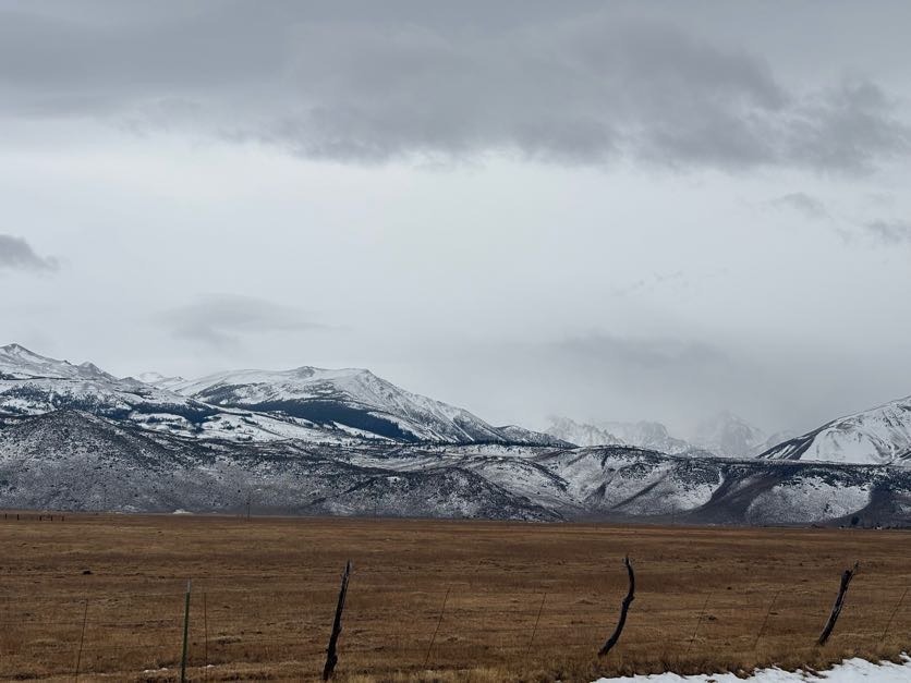
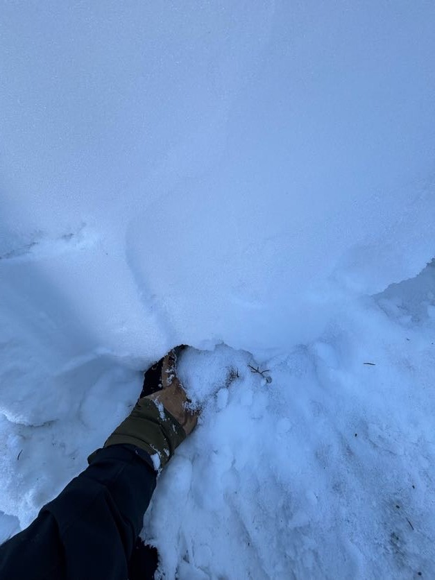
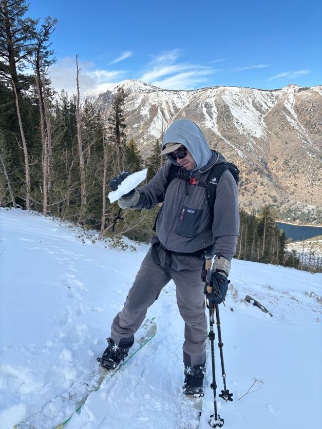
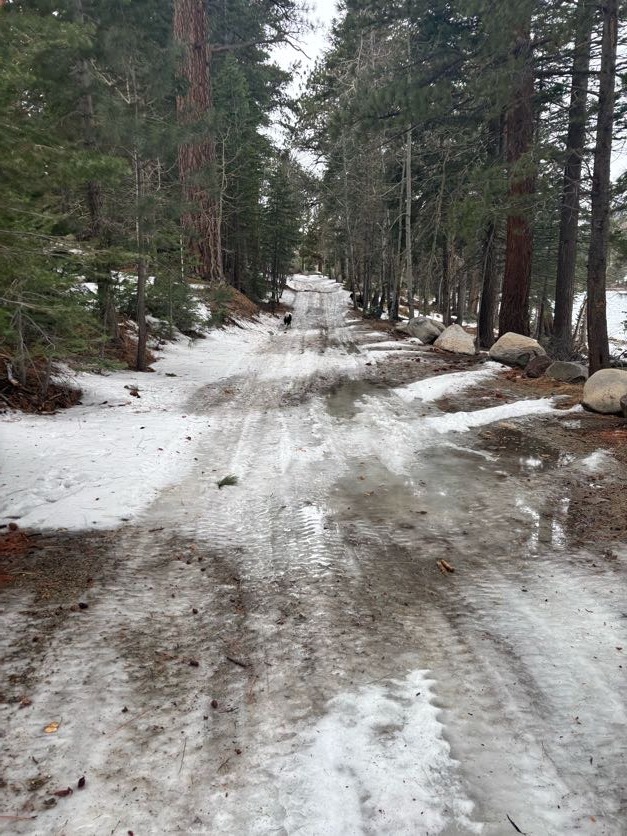
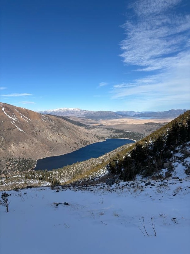
Today, i wanted to get into a zone with less overall snowpack depth than what we had been seeing at Sonora Pass. After the rain we received this weekend my options were limited to only a few terrain choices without making the ski tour a trudge through wet snow. I chose to go to Crater Crest because of its large north aspect. I wanted to see how the weak layers in the middle of the snowpack were reacting to the recent above freezing temperatures and Crater Crest provides a good vantage point into other drainages. The tour began at 0900 with temperatures at 7,000ft at 44F. We skinned through shin deep wet snow due to the rain until 8200 ft. Once above 8200 ft travel became much easier with a firm wind board under our feet and a trace of fresh snow. We dug a pit at 9200 ft and had propagation results ( ECTP 11) on the Dec 12th NSF layer in the middle of the snowpack. Snow depth and quality varied greatly. BTL snow was wet from surface to ground, ATL snow was a mix of wind deposited snow and areas where snow had been stripped bare by Saturday's wind. NTL snow was the most consistent cover and was the easiest to travel through. The initial plan was to gain the ridgeline but after getting bogged down in Wet snow, time was running short and we settled for a pit in NTL terrain.
Weather
- Air Temp
- 44
- Cloud Cover
- overcast
- Wind Loading
- light
- Rain Elevation
- 8200
- Recent Snowfall
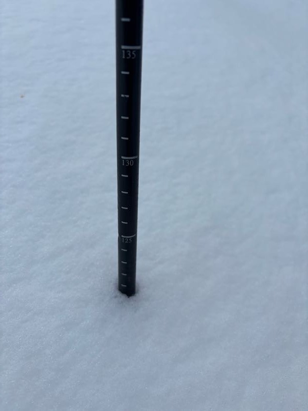
- Trace
- Snow Avail For Transport
- small smounts
overcsat day with calm winds, Temaptures were above 32 F all day. warm and humid on the skin track up to 9200 ft
Snowpack
I was on the lookout for Loose wet instability and Persistent slab problems in the alpine today.
- Snow below 8,200 feet was saturated from surface to ground, i did not observe any loose wet instability in the crater crest zone today. Most likely due to the overall lack of snow and depleted snowpack from the rain. I'm interested to see how a zone with a deeper snowpack reacted to the rain.
- Near surface facts in the middle of the snowpack continue to show propagation results (ECTP 11 today). Although we have not seen avalanche activity on this layer, the poor snowpack structure is present on N facing slopes NTL and ATL in isolated pockets.
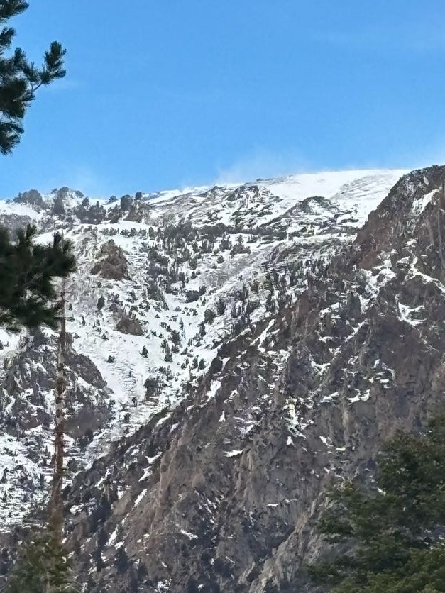
- We did see small amounts of blowing snow on adacjent ridges.