
Quick report
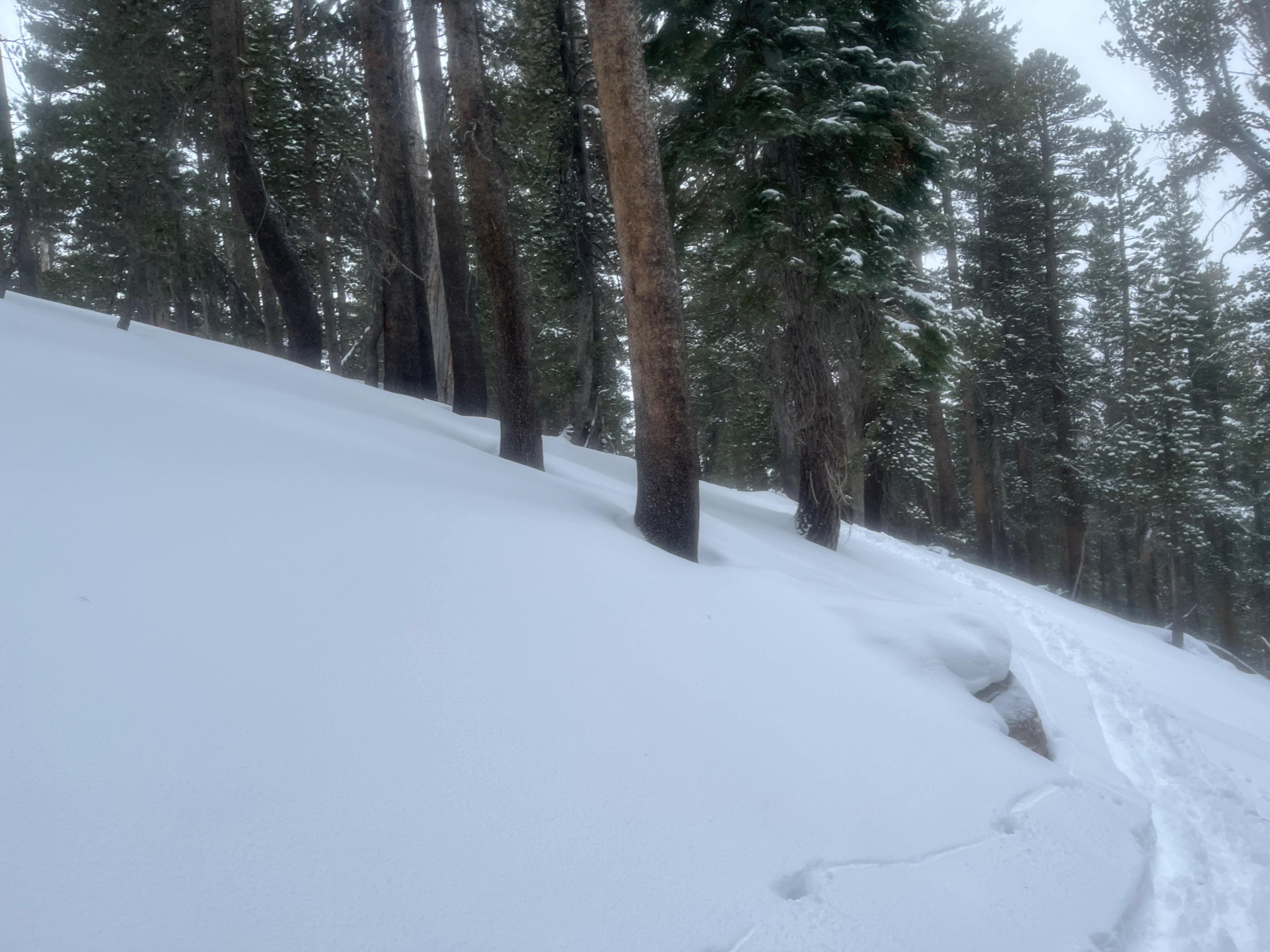
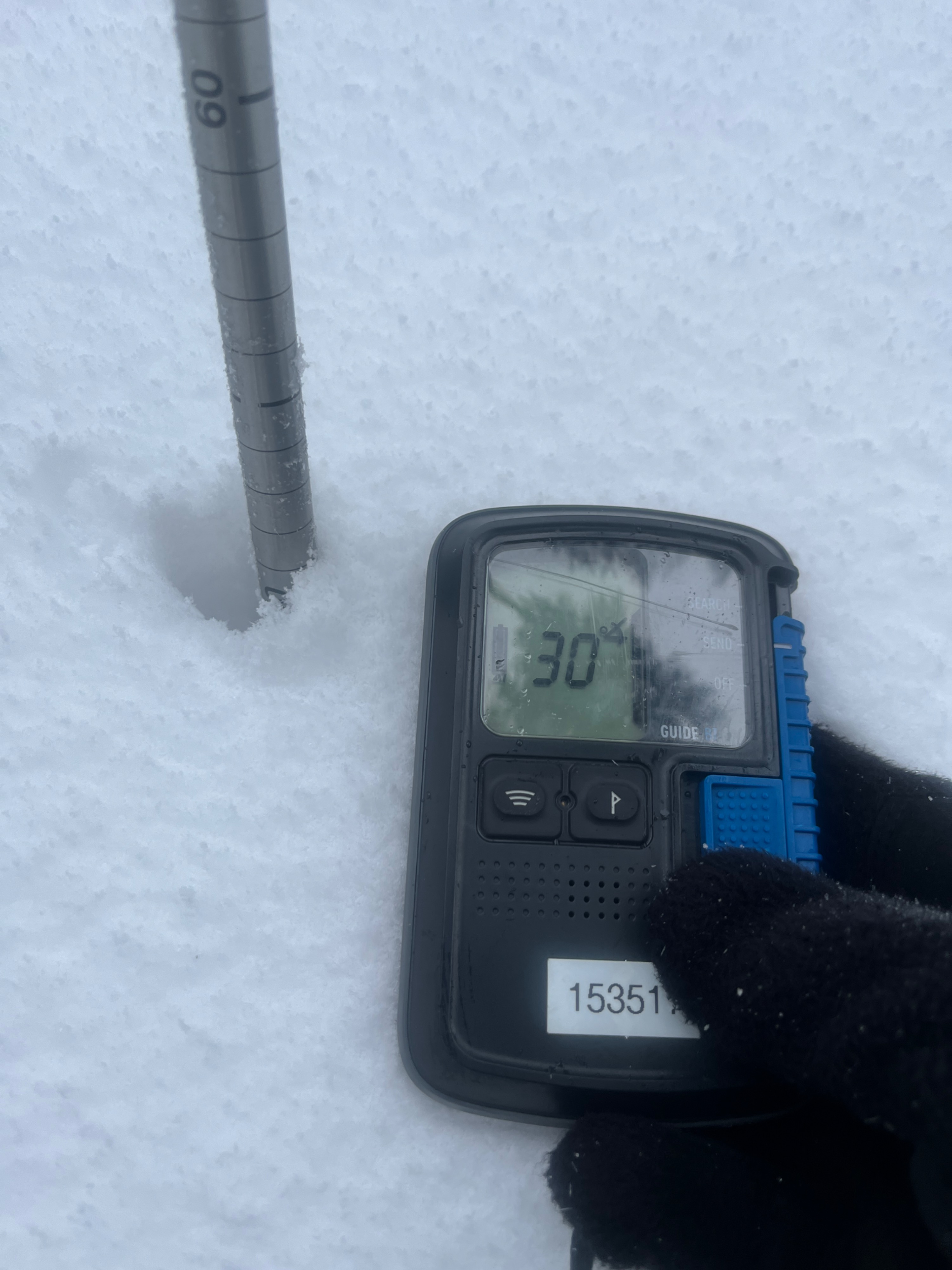
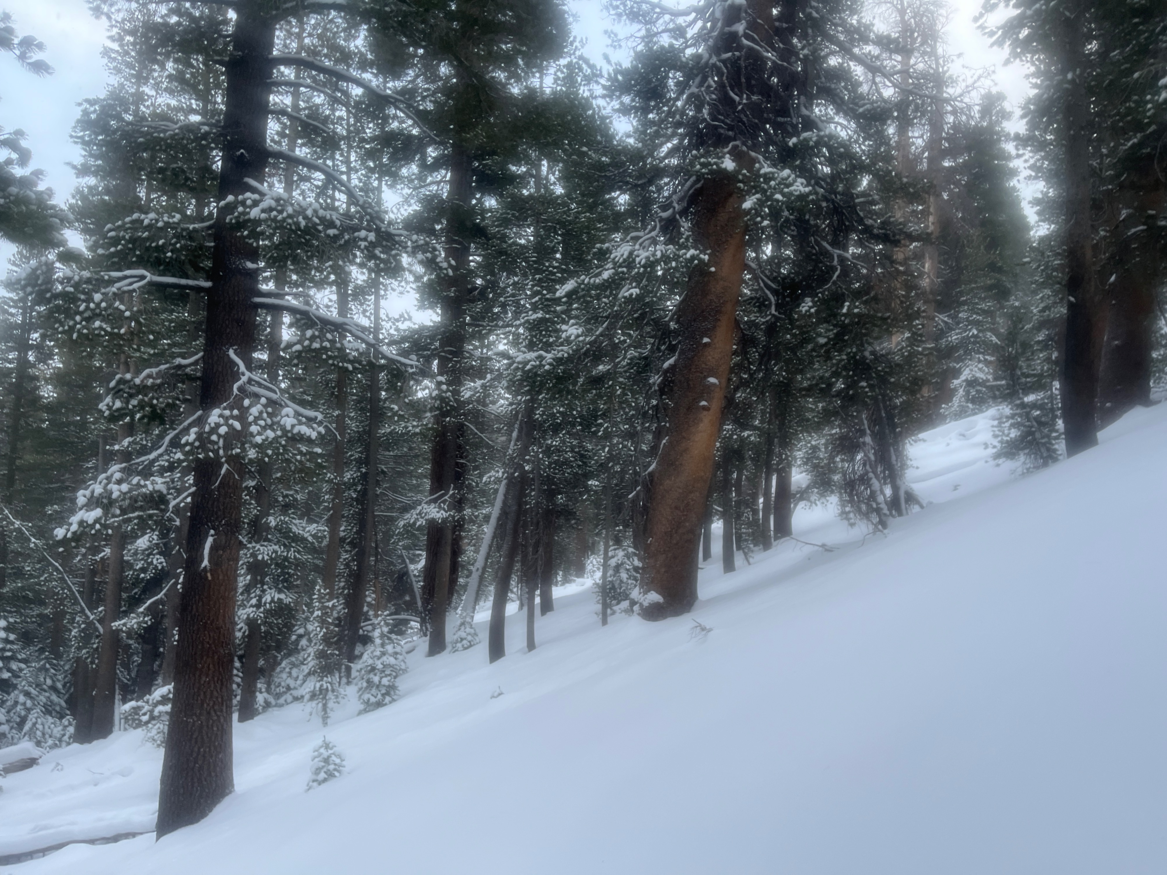
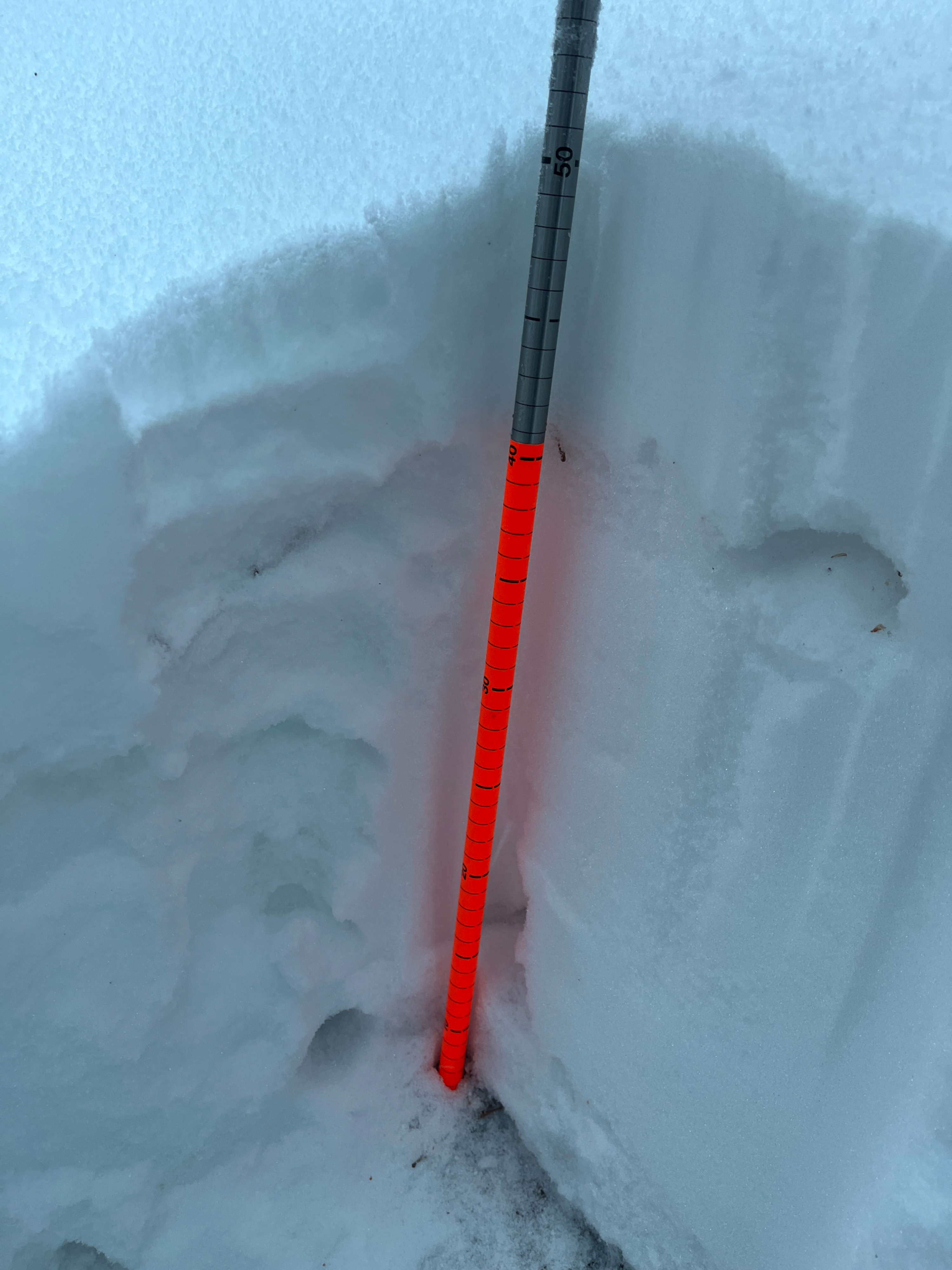
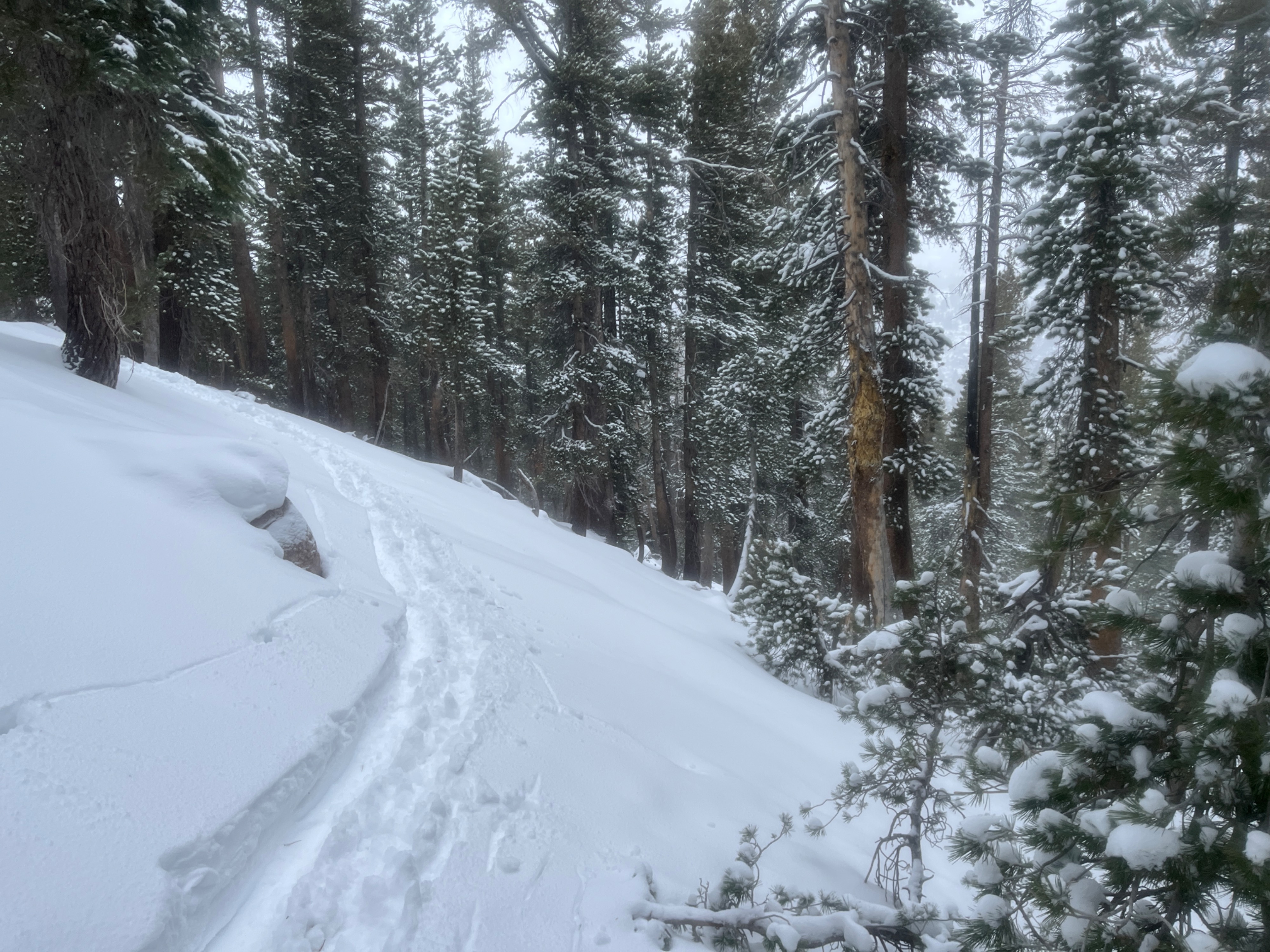
Weather was relatively warm. At brownie creek at about 2pm and 7700 feet no snow was sticking. At 8000 feet snow began to accumulate at 2:30pm. By 5:15pm snow was sticking down to about 7500 feet Snow pack was very shallow in the trees with lots of obstacles to avoid. At 8900 feet the depth was observed to be 50cm.
Weather
- Air Temp
- 30-35
- Cloud Cover
- obscured
- Wind Loading
- unknown
- Rain Elevation
- 7500
- Recent Snowfall
- 12-16
- Snow Avail For Transport
- moderate amounts
The beginning of the storm which is moderately warm depositing snow above 7600 feet. Moderate wind at 8000-9000 feet. Should be some decent accumulation if the forecast is correct.
Snowpack
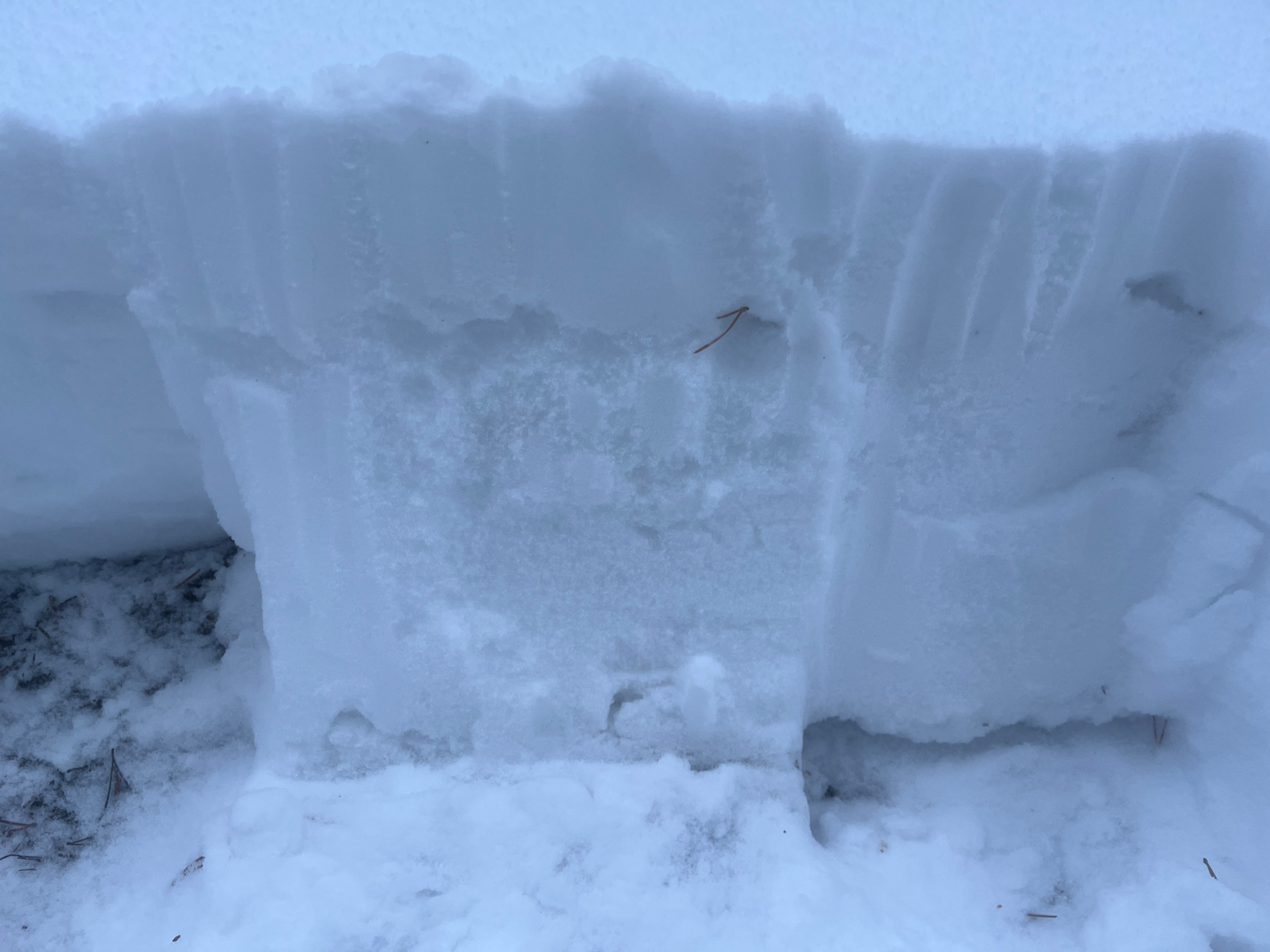
Snow pack was light yet mostly consolidated. There was a visually faceted layer at 38cm, the snow on top was all new and appears to be consolidating. I performed an isolated column test, which resulted in no signs of instability. The firmness of the layers were fist for the first 12cm (new snow), 1 finger firm at 37cm, and 4 finger down to the base.