
Quick report
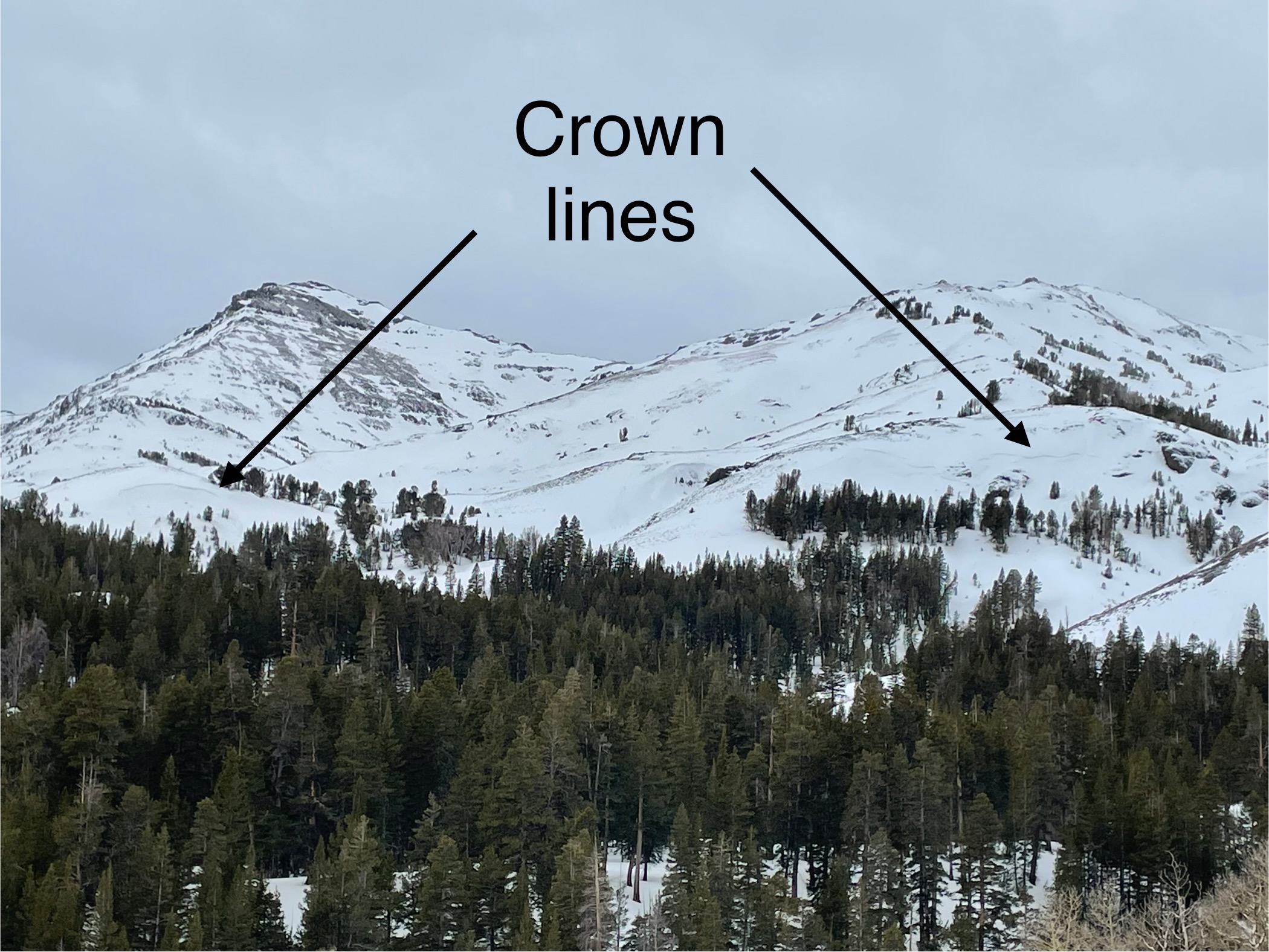
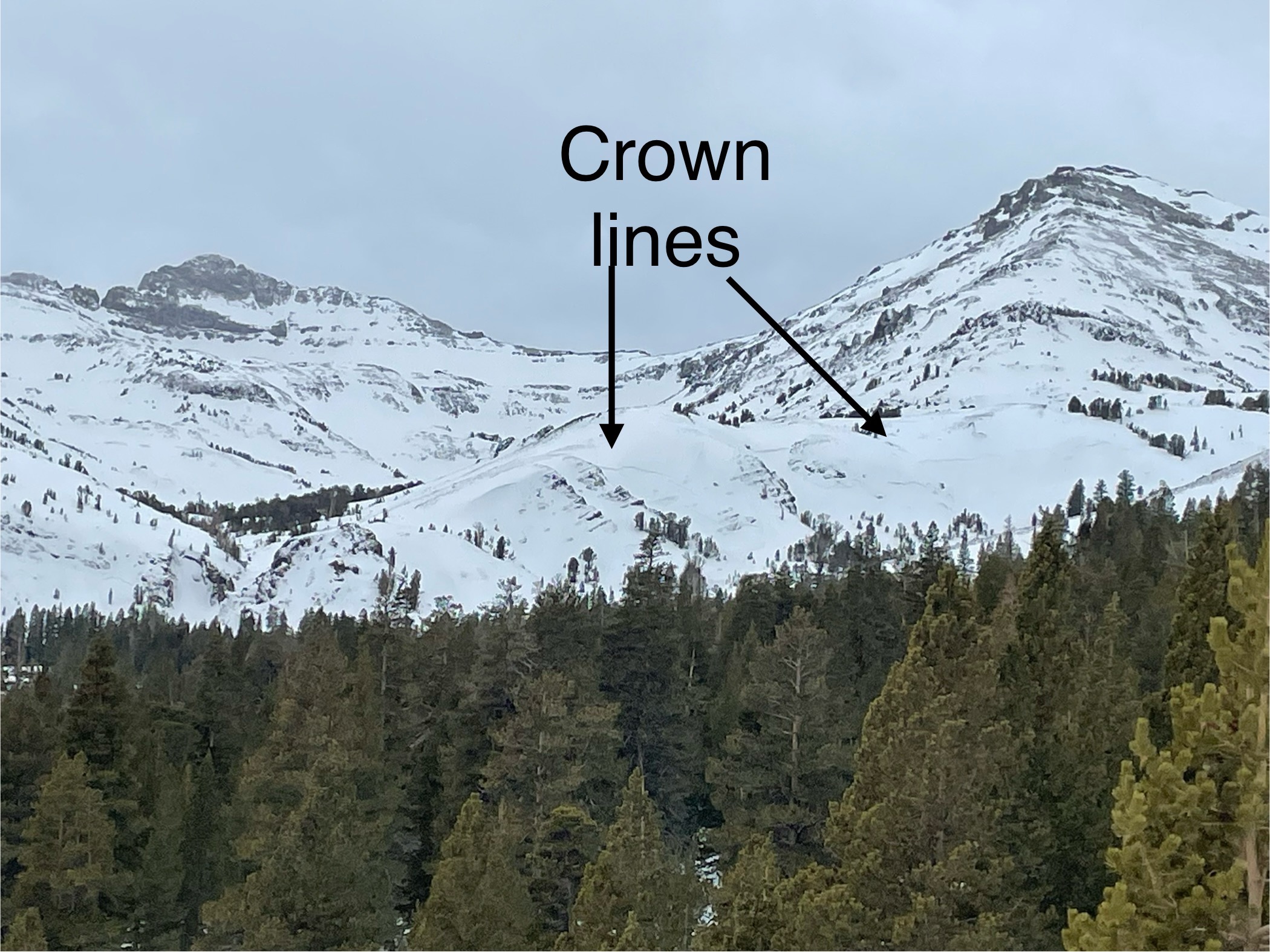
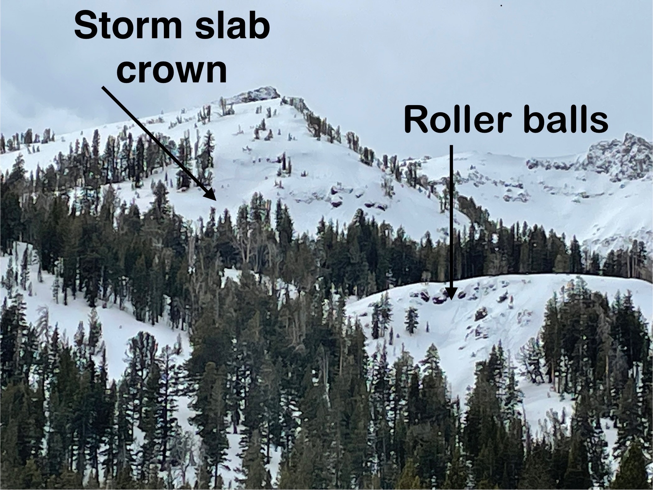
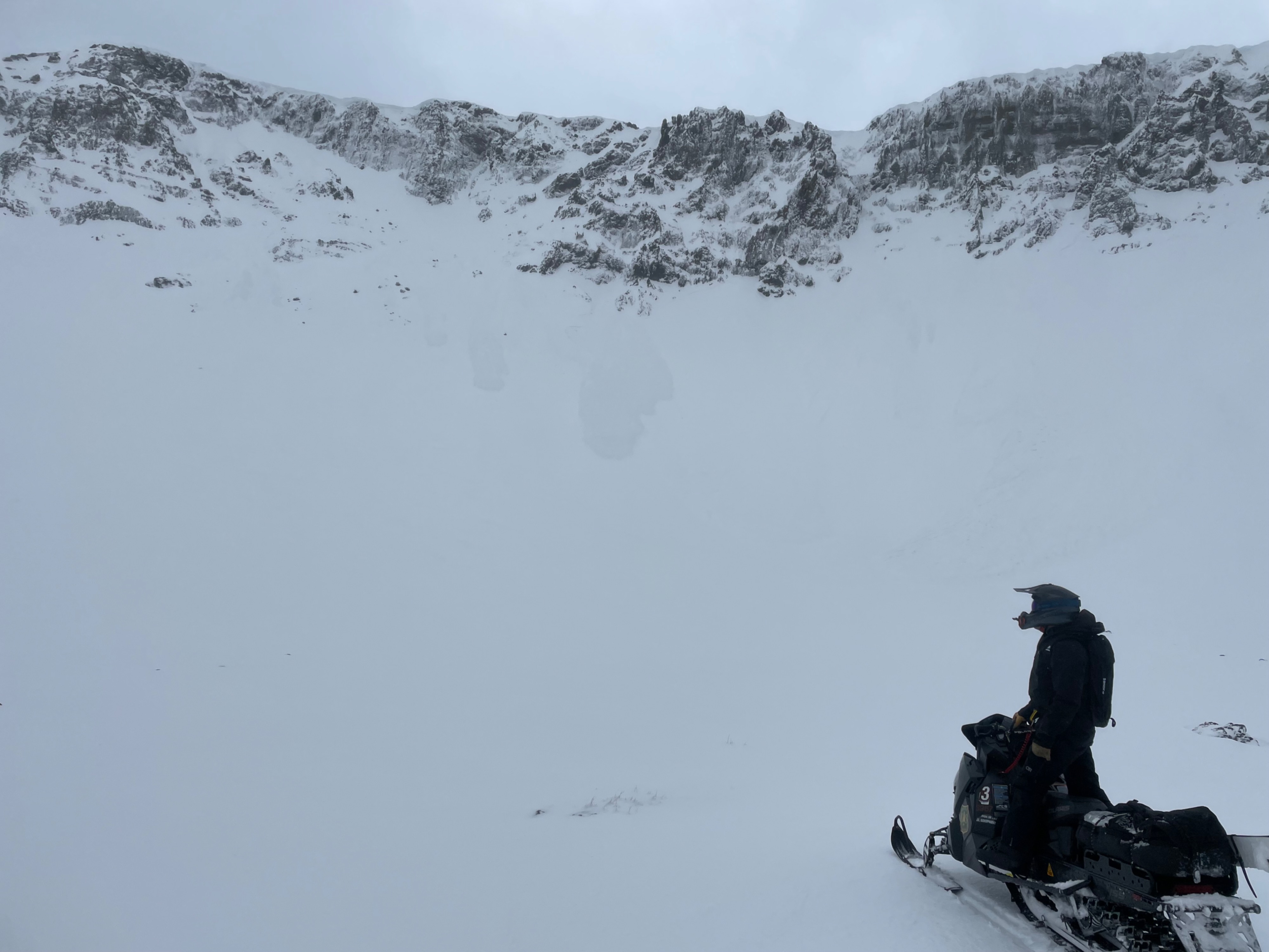
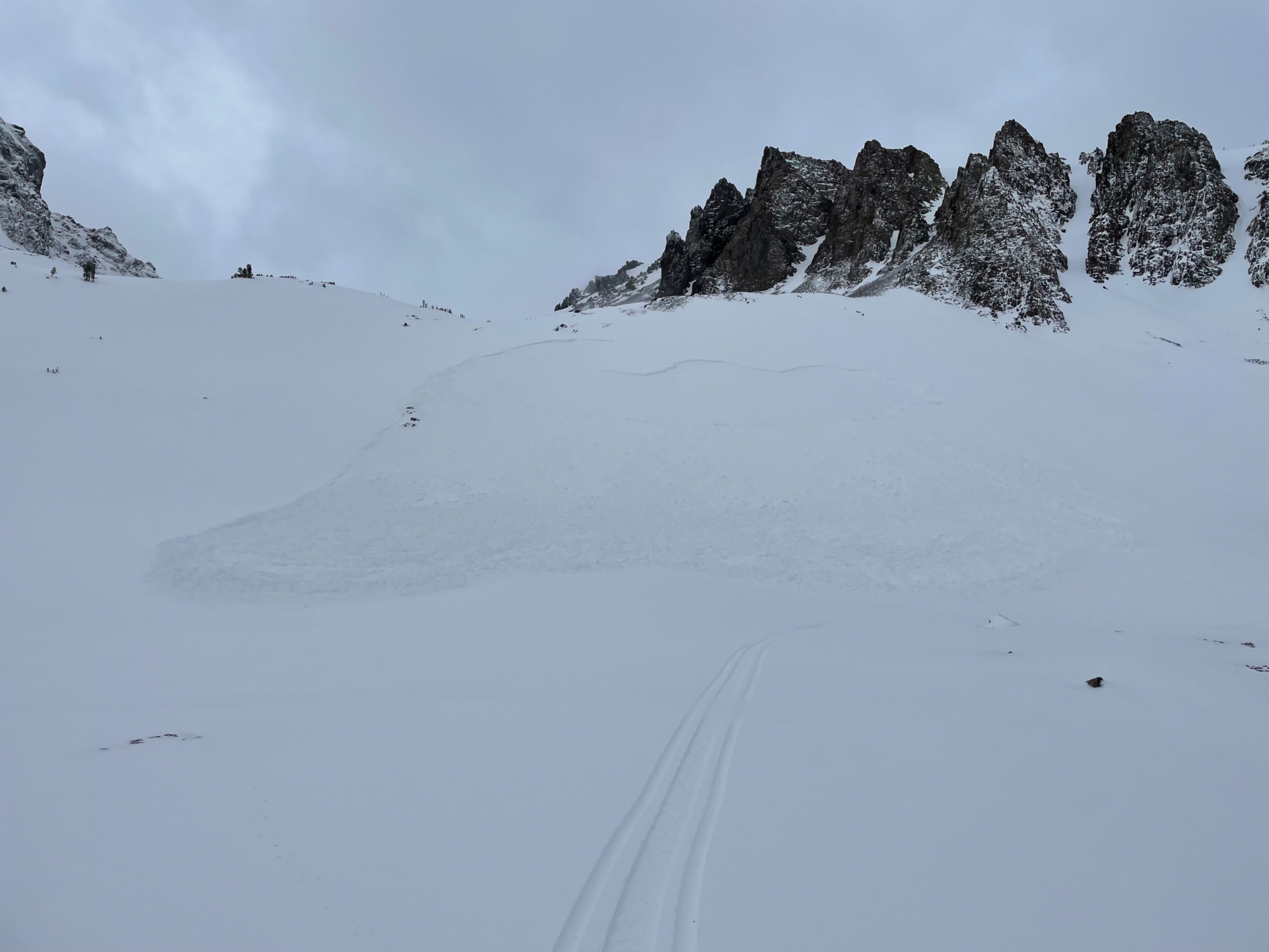
Today we rode up to Sonora Pass area and Leavitt Lake to observe what the last couple days of wet stormy weather had left us with. We found evidence of widespread natural storm slab and wet loose activity near and above tree line. Widespread natural storm slab and wet loose activity occurred during the last 48 hours in near and above treeline terrain in the BWRA. Most of these occurred on North to East aspects and were D1 to D2 in size.
Weather
- Air Temp
- 30s
- Cloud Cover
- overcast
- Wind Loading
- none
- Rain Elevation
- 9600
- Recent Snowfall
- 30-44 cm at Leavitt Lake
- Snow Avail For Transport
- none
Strong SW winds throughout the day. Overcast skies and no precipitation during our travels today. There was mostly flat light and some of the peaks above Leavitt Lake were obscured by clouds.
Snowpack
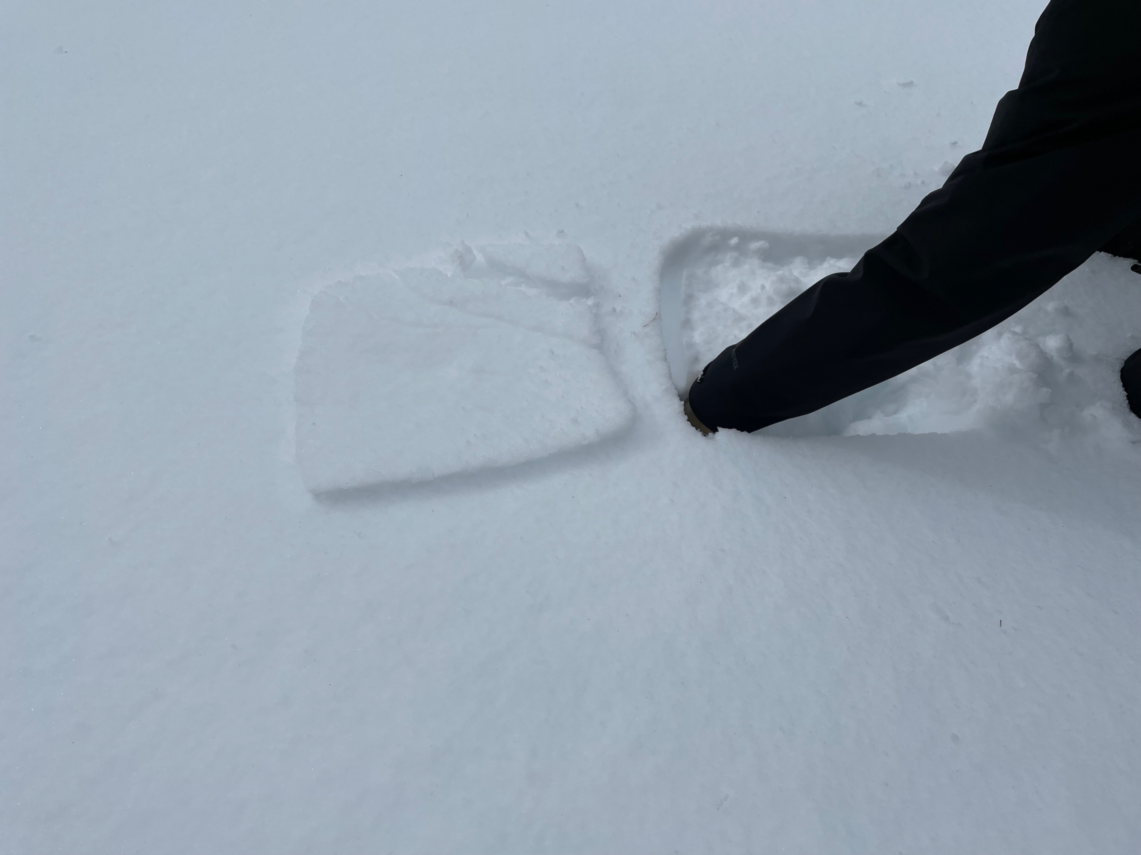
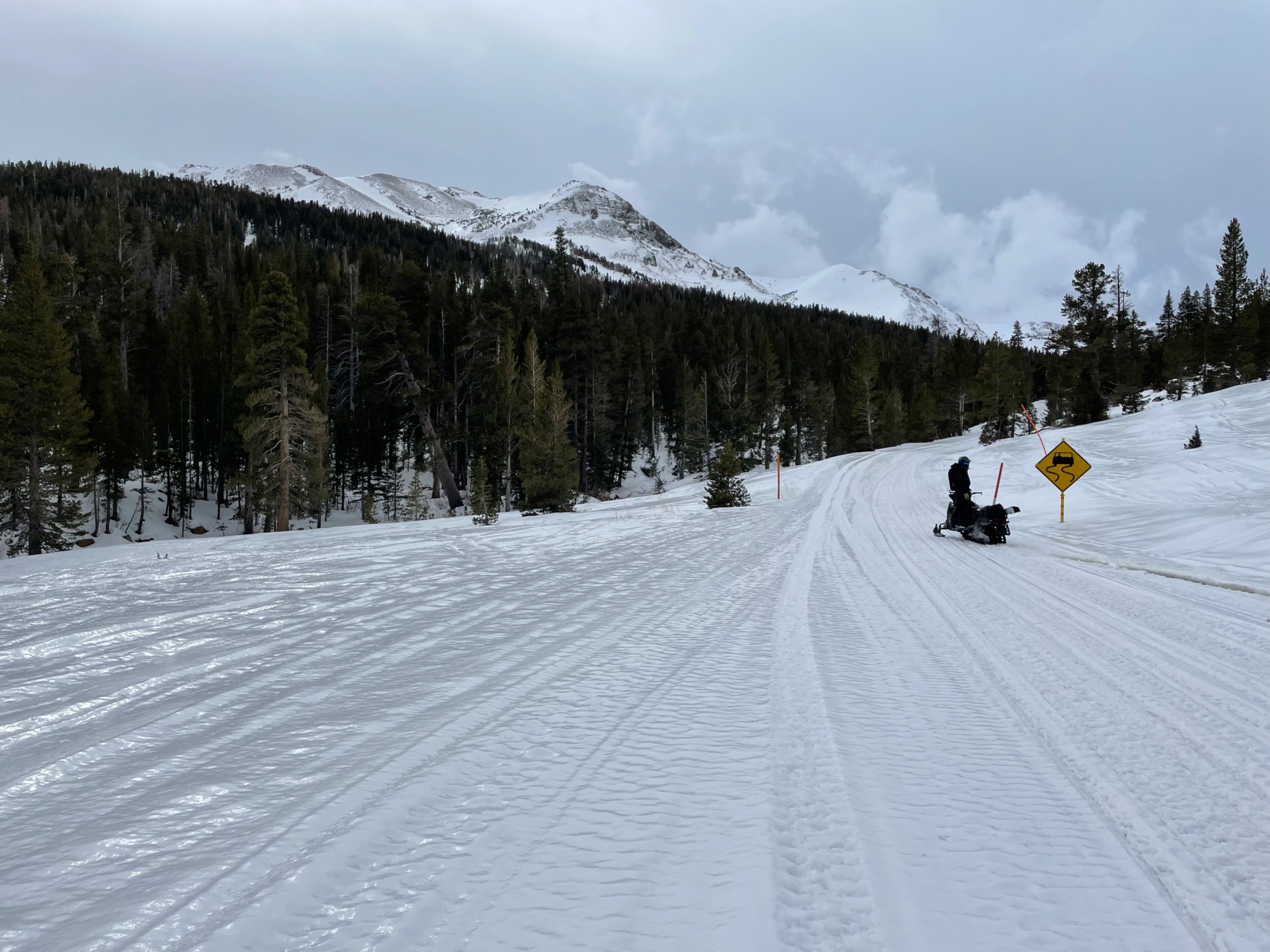
We observed a rain crust on all surfaces we rode over today, all the way to top of Sonora Pass at 9600’. Leavitt Lake Snotel site had recorded 17 inches of snow over the past couple days, however it was capped by a rain crust today. Below the rain crust snow was moist and when we walked around boot penetration was boot top to thigh deep in the Leavitt lake area. On the highest peaks (above 10,000’) we could see snow blowing and it did not appear that rain reached that high.
Avalanche
- Size
- D2
- Aspect
- E
- Trigger
- N
- Elevation
- 9800 ft
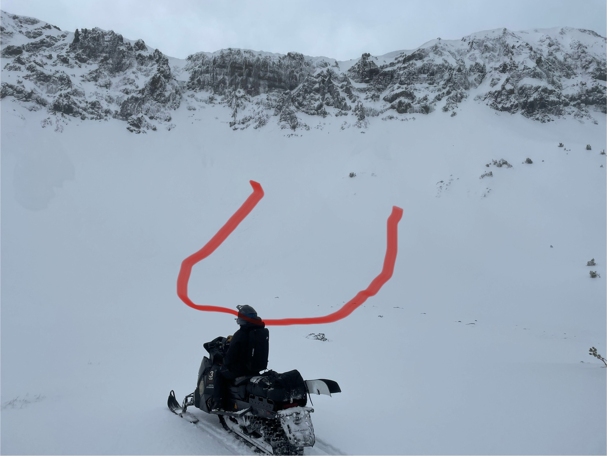
Widespread natural storm slab and wet loose avalanches in north to east facing terrain near and above treeline. We observed evidence of these avalanches on slopes in the Sardine Meadows vicinity and near Leavitt Lake. Mostly D1 to D2 in size. Some of these storm slabs broke widely across the slope but crown depths were relatively shallow.