
Quick report
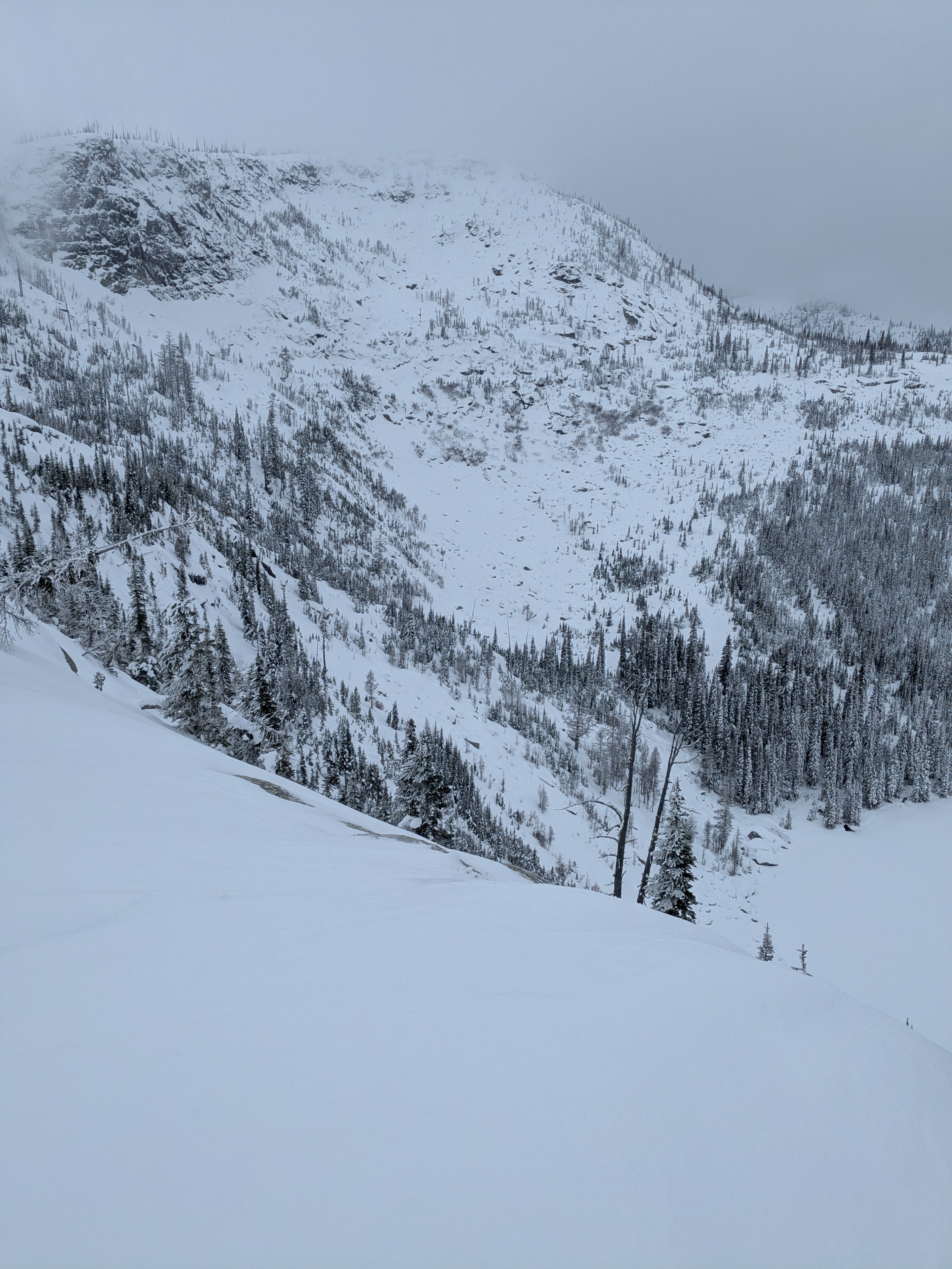
It’s encouraging to finally see snow accumulating in the Purcell Trench, but overall, the snowpack remains unseasonably shallow, even at the higher elevations.
Weather
- Cloud Cover
- overcast
- Wind Loading
- light
- Snow Avail For Transport
- moderate amounts
An overall cold day with overcast skies and a few pokes of sun. Winds were generally light except along ridges - then blowing upper teens with gusts in the low-20s. Temps ranged low to mid 20s F.
Snowpack
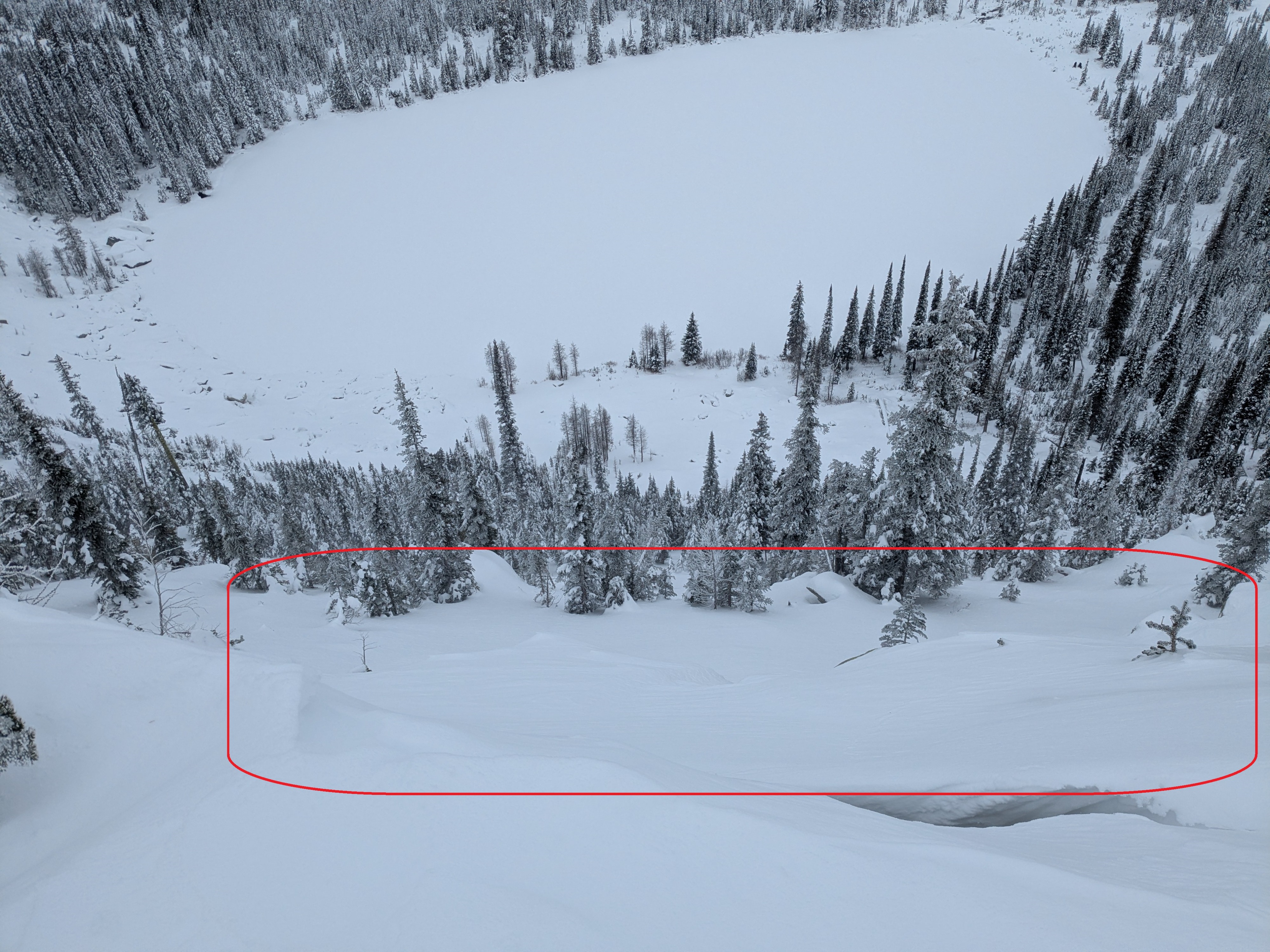
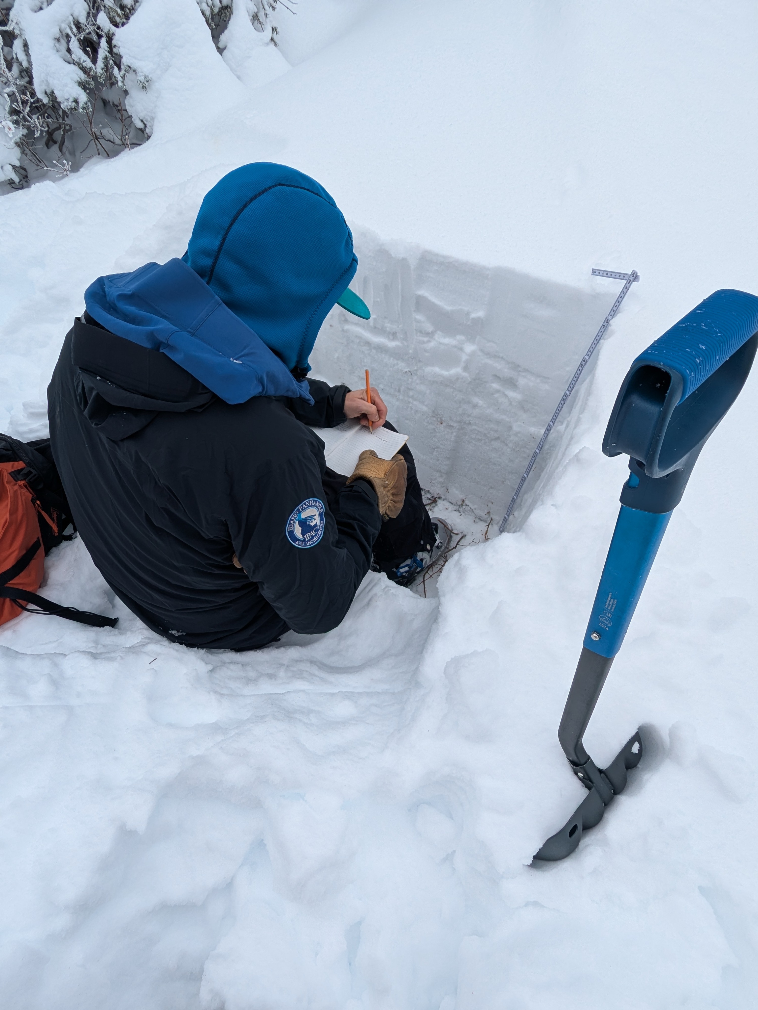
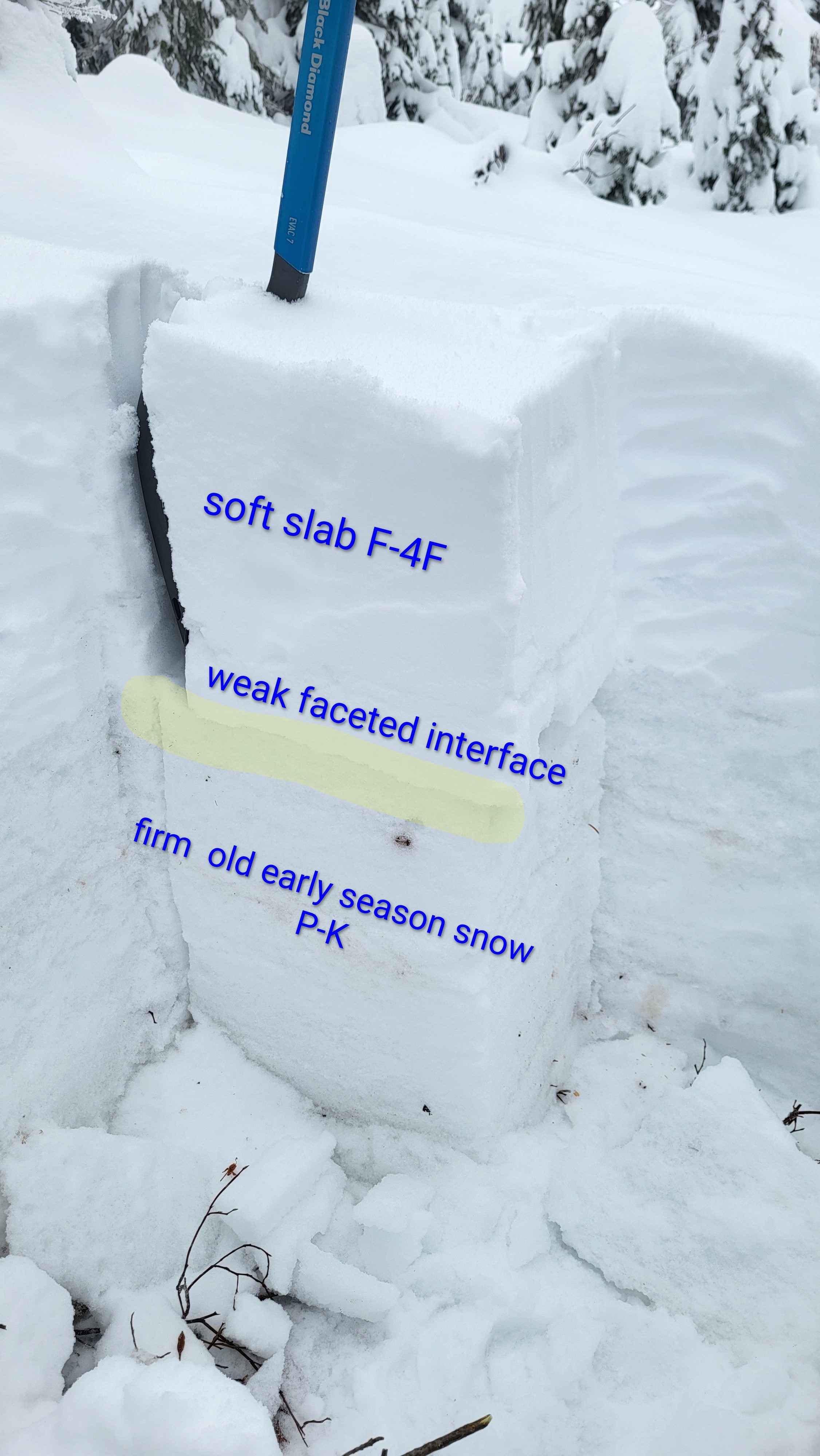
At 5,400 feet, we measured approximately 40 cm of total snow depth. The lower half of the pack consists of early-season, refrozen snow that provides a firm base, while the upper half is made up of a soft, F to 4F- soft slab formed by the most recent storms. By 6,200 feet, the structure of the snowpack remained largely the same, though depths increased to about 60–70 cm. The surface snow at these elevations is particularly vulnerable to wind transport, and exposed features are beginning to show the effects. Starting zones near ridgelines and around developing cornices displayed clear signs of recent wind loading, with small pockets of drifted snow forming denser slabs. These wind-affected areas are still relatively shallow, but they highlight the early-season sensitivity of the snowpack and the potential for further loading as incoming weather systems bring more snow and stronger winds.
Avalanche
None observed