
Quick report
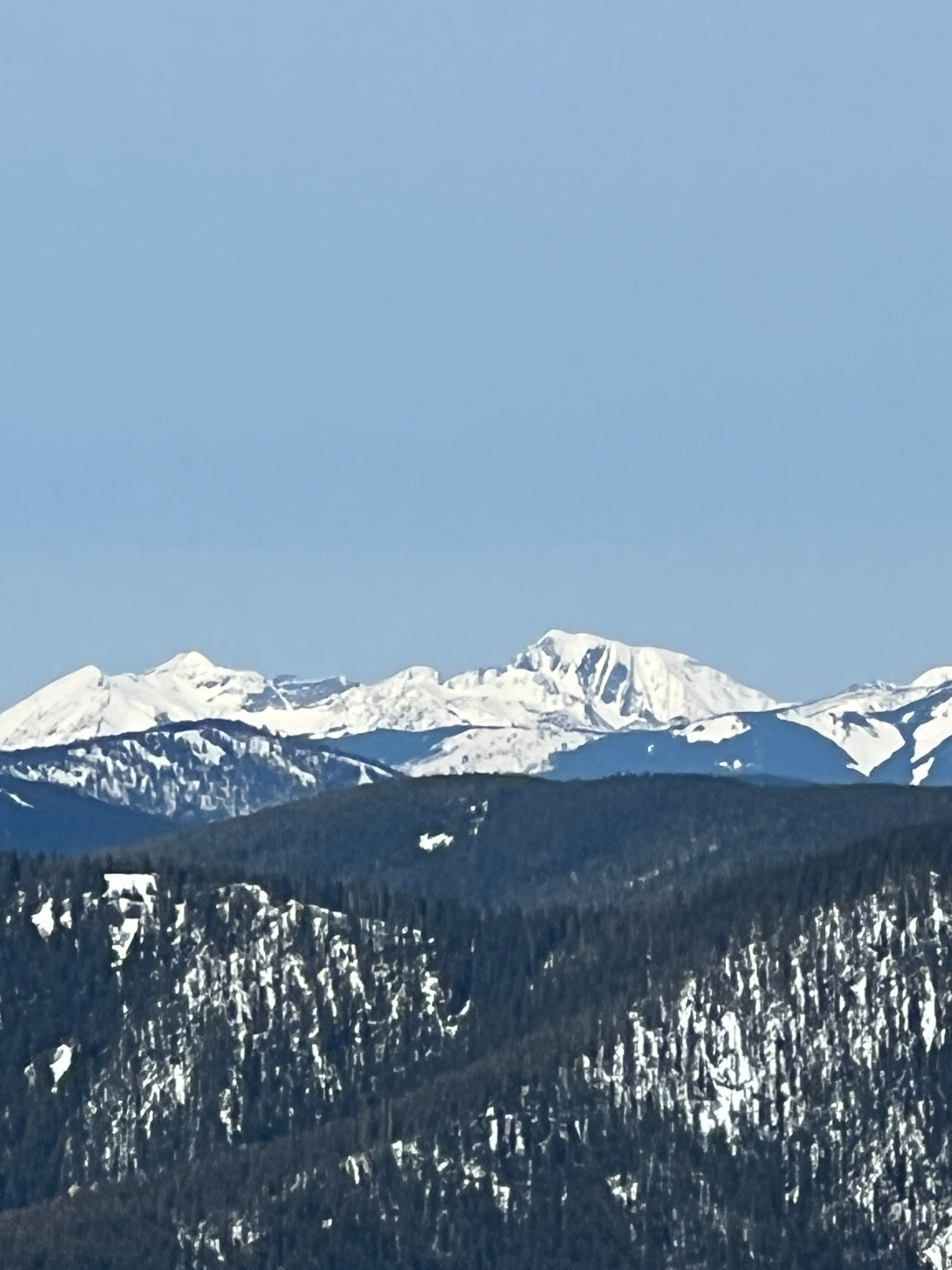
By late afternoon, south facing aspects had softened to the point that we could step into moist snow 3/4 of the way to boot top. Rollerballs would pick up more snow if they were initiated. Thin, high level clouds facilitated good views of surrounding steep terrain and other ranges in the forecast area, which yielded no signs of recent natural avalanches or red flags of wet snow problems.
Weather
- Air Temp
- 38
- Cloud Cover
- few
- Wind Loading
- previous
- Rain Elevation
- Not observed
- Recent Snowfall
- 0
- Snow Avail For Transport
- none
Temperatures dipping below freezing at night allowed for surfaces to freeze and a thin layer of frost to form. Things quickly heated up in the morning once the sun came out. A thin layer of clouds streamed in early afternoon, keeping things warm but not too hot. Winds were light, with an occasional moderate gust from the southwest.
Snowpack
In the morning, weather stations across the zone were showing a temperature inversion with below freezing temperatures at lower elevations and slightly warmer up high. On the snowbile ride in, there was a solid refreeze on the access road. By the time we reached our transition point where we switched from snowmobiling to skiing, the sun had gotten to work softening the surface.
The day was spent traveling on the south side of the compass. Between 1 to 2pm, the surface snow had softened up enough that we could punch into moist snow 3/4 of the way to our boot top. Around this same time, a thin layer of clouds moved in, which slightly slowed down the warming. Although we didn't travel in steep terrain, we had great visibilty of surrounding steep slopes and did not observe any recent avalanches or red flags that wet problems were underway.
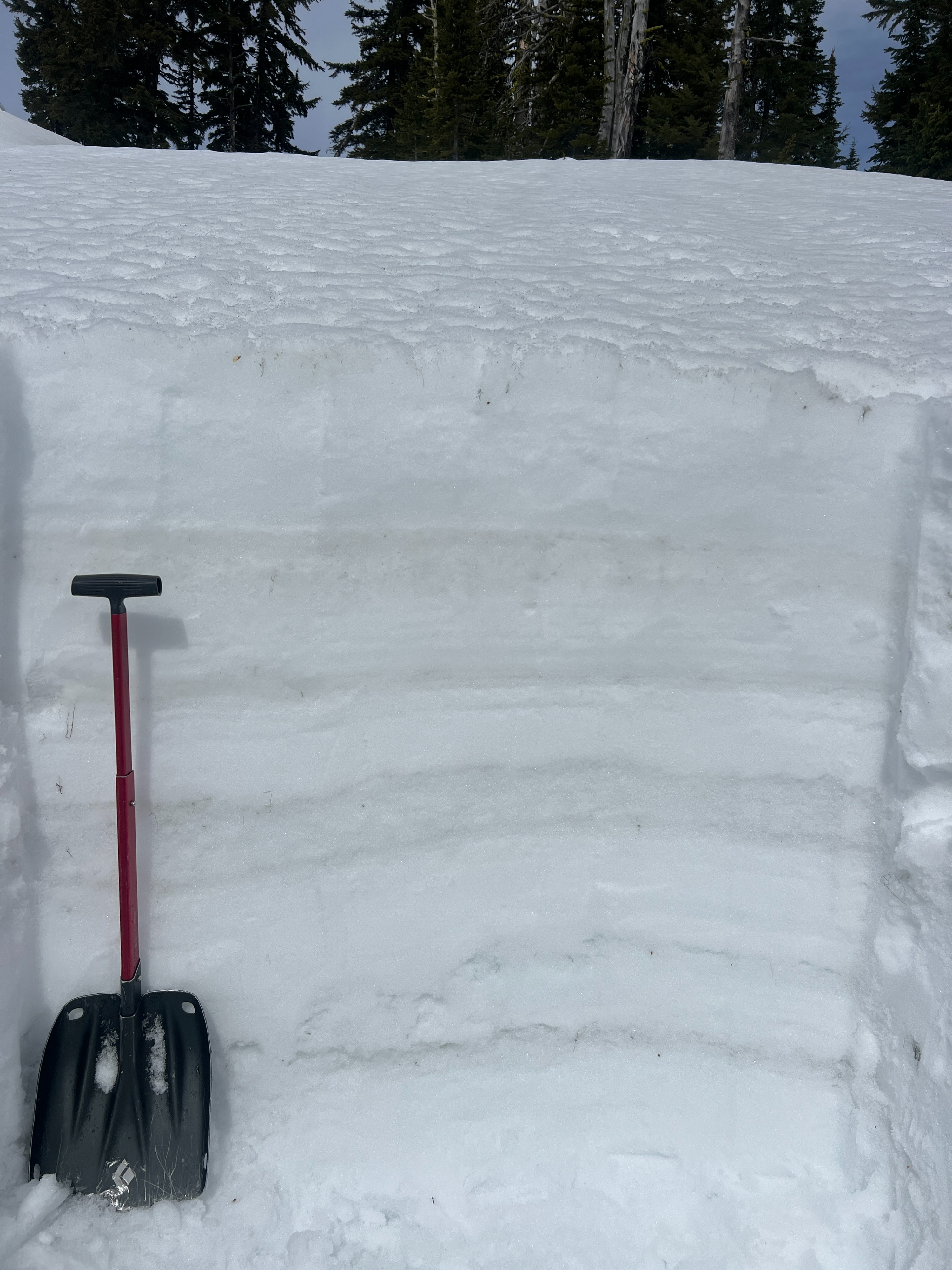
In a snowpit on a south aspect near 6,200', it was apparent that moisture has worked deeper into the snowpack than we have seen at other locations that favor north aspects. The slab of snow that developed from March 11 to March 15 has settled significantly, and is shallower than northerly aspects. Because of this, meltwater has had an easier time getting through the snowpack and pooling at depper layers. No result sin sowpack tests, and no evidence of persistent weak layers. Moist snow extended down 100cm.
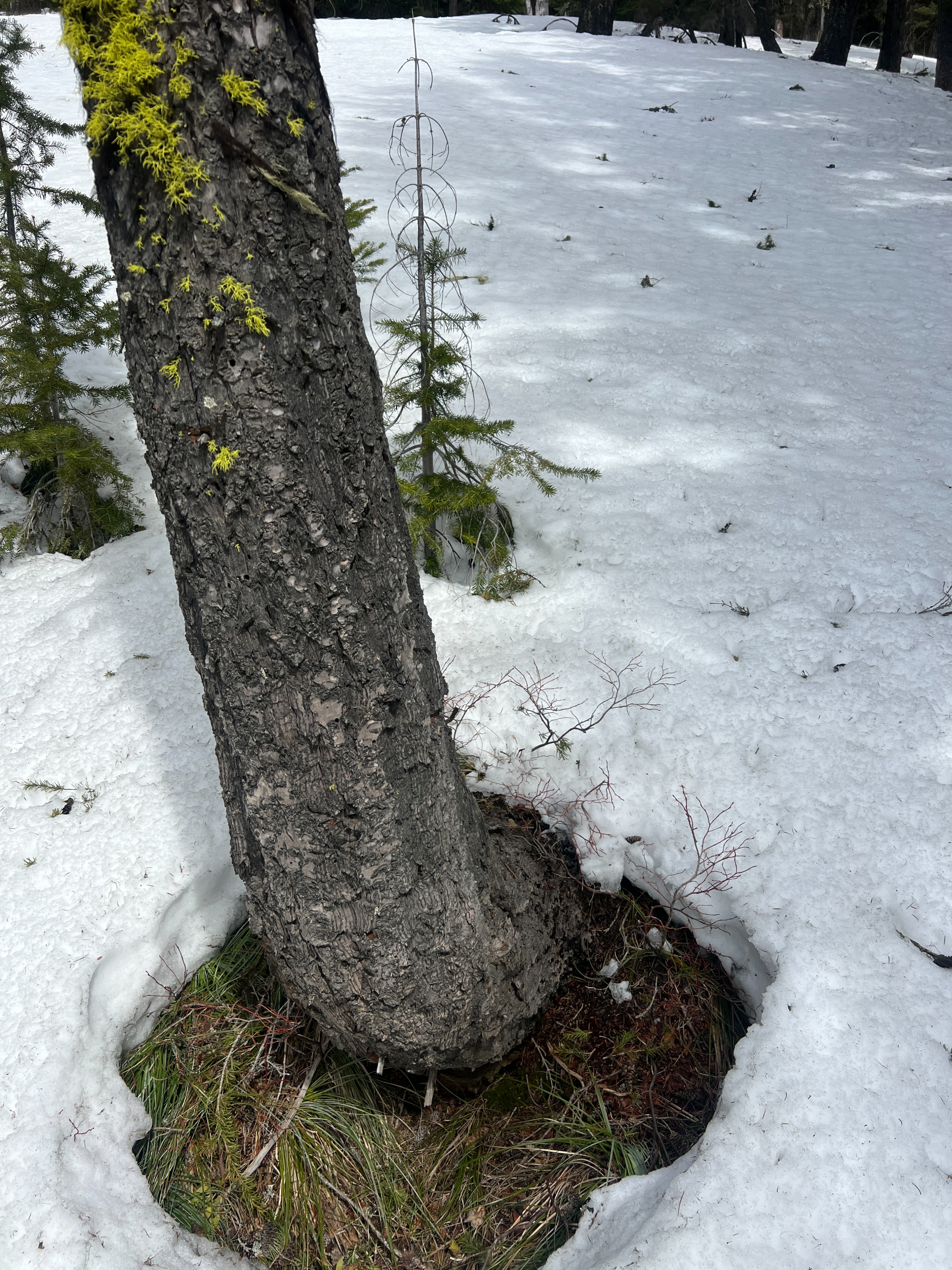
Large patches of bare ground are starting to appear on south and west aspects.
Avalanche
No avalanches obsereved. However, we did notice large patches of bare ground on some south facing terrain in the East Cabinet Mountains. This could have been caused by large glides or wet slabs that ran at the ground, but because of how far away we were can't say for certain.