
Quick report
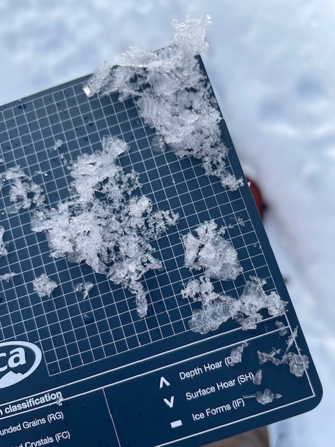
The current snowpack showed strong signs of stabily and had a right side up hardness profile. Top 30cm of snowpack weakened into F-4F facets- which will be the biggest concern as we roll into a promising storm cycle.
Weather
- Air Temp
- 29
- Cloud Cover
- scattered
- Wind Loading
- previous
- Snow Avail For Transport
- small smounts
A warm day, with a few clouds in the morning that developed into high scattered skies around noon.
Snowpack
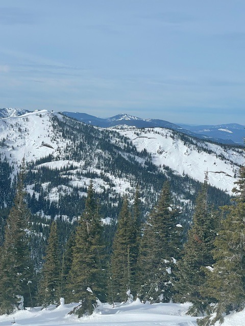
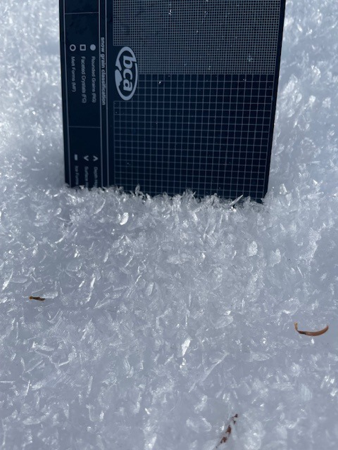
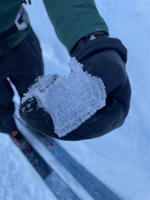
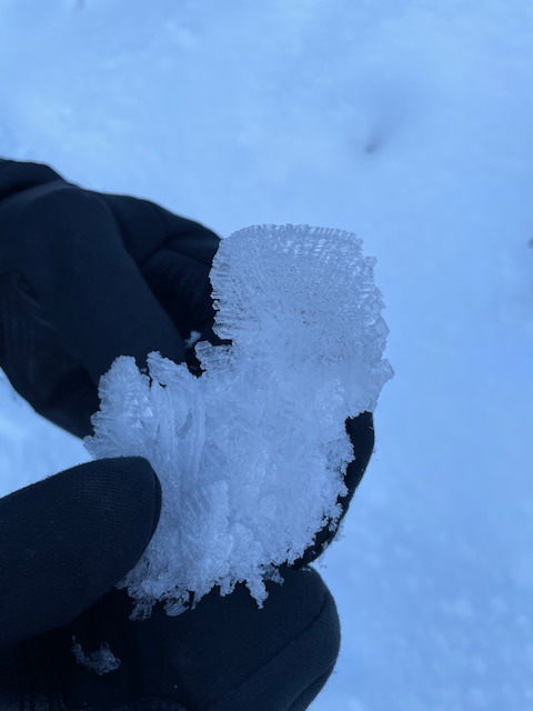
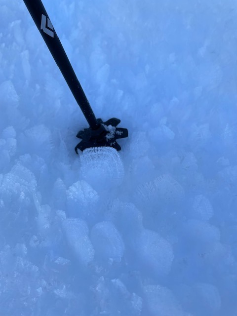
Though a portion of the snowpack has consolidated nicely through the dry spell of January, the upper portion and surface has weakened considerably. Sugary 1mm facets make up the upper 30cm of the snowpack. Surface hoar developed widespread on all aspects and all elevation bands. However, strong wind and sun from the previous 24 hours helped to knock down the feathers on mostly southern aspects at mid and upper elevations, and on open solar aspects. The feathers were most impressive in the most shaded and sheltered areas.
Wind effect could be seen on all aspects at mid and upper elevations in large exposed areas, with notable large sustrugi on a North facing slope. South aspects were beginning to soften later in the day, and sunny slopes that have recieved copious amounts of sun had a breakable sun crust.