
Quick report
The snowpack has taken positive steps toward being less likely to fail and produce an avalanche, but several weaker snow layers still lurk at mid and upper elevations. These layers are becoming less reactive with time, but still warrant continued evaluation before stepping into steeper, more complex terrain. Their shallow burial are well within the realm of triggering for a rider or machine - especially if you find the shallow spot on a slope or provoke an isolated stiffer drifted slab that could create a cascading event.
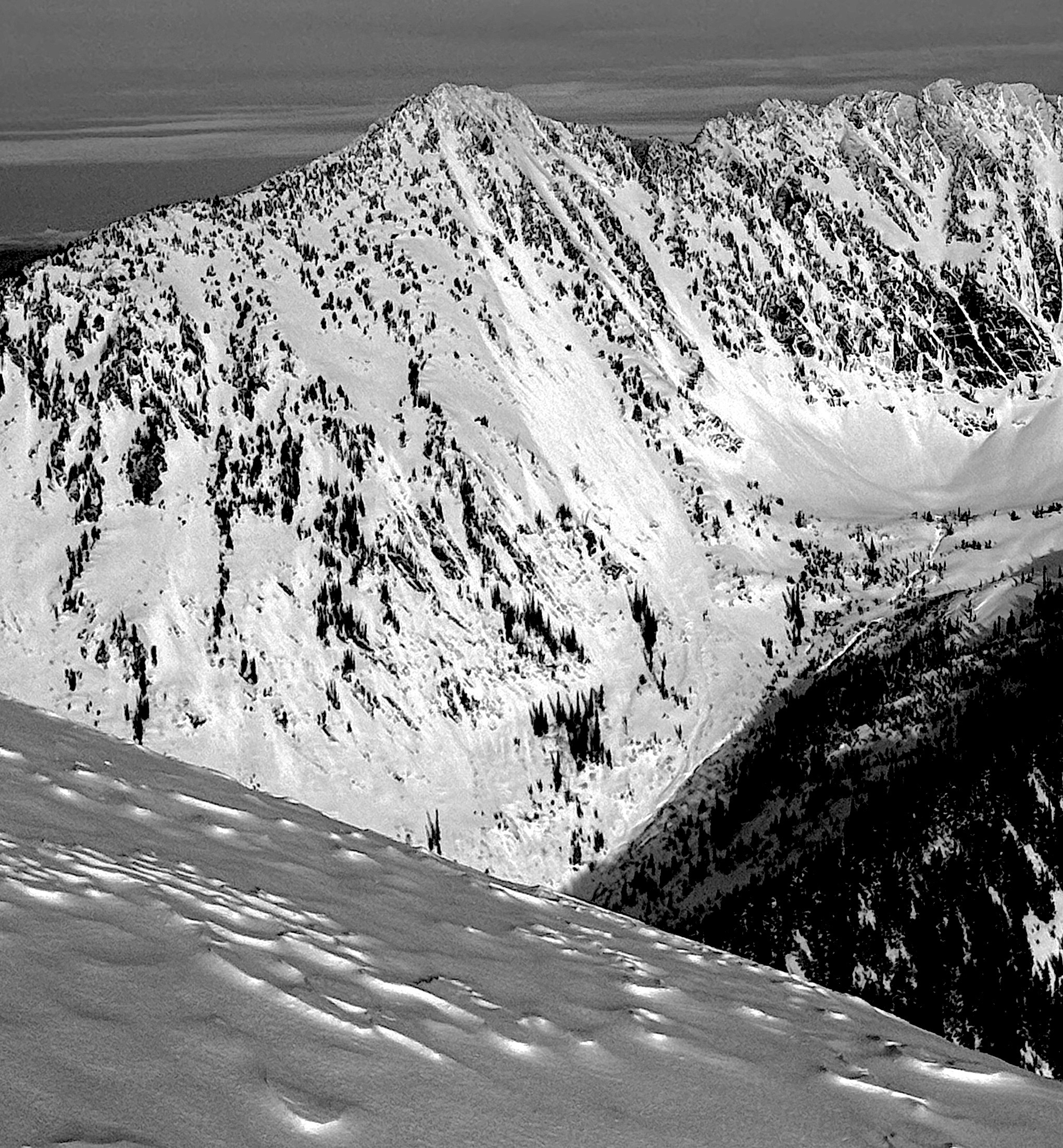
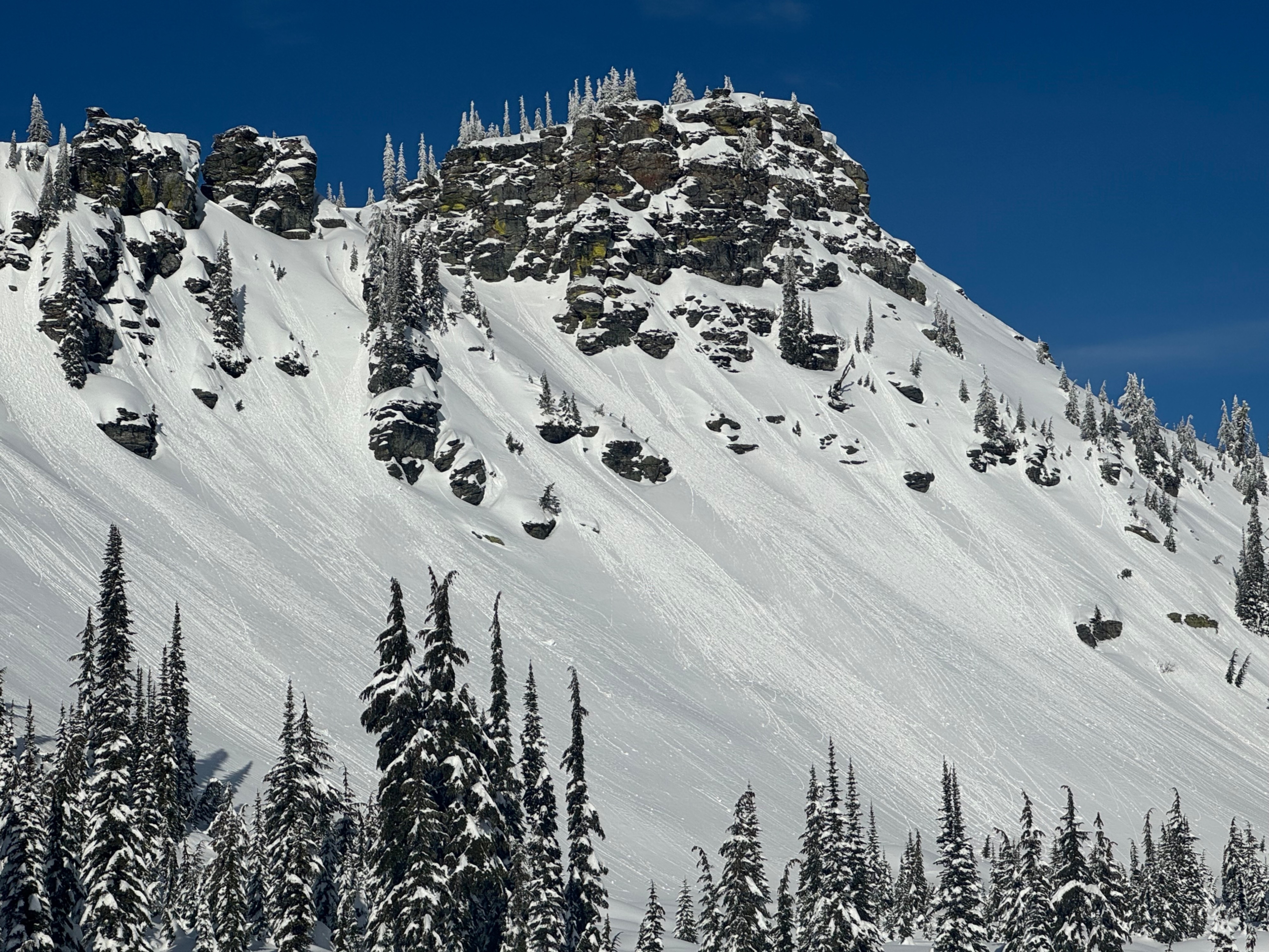
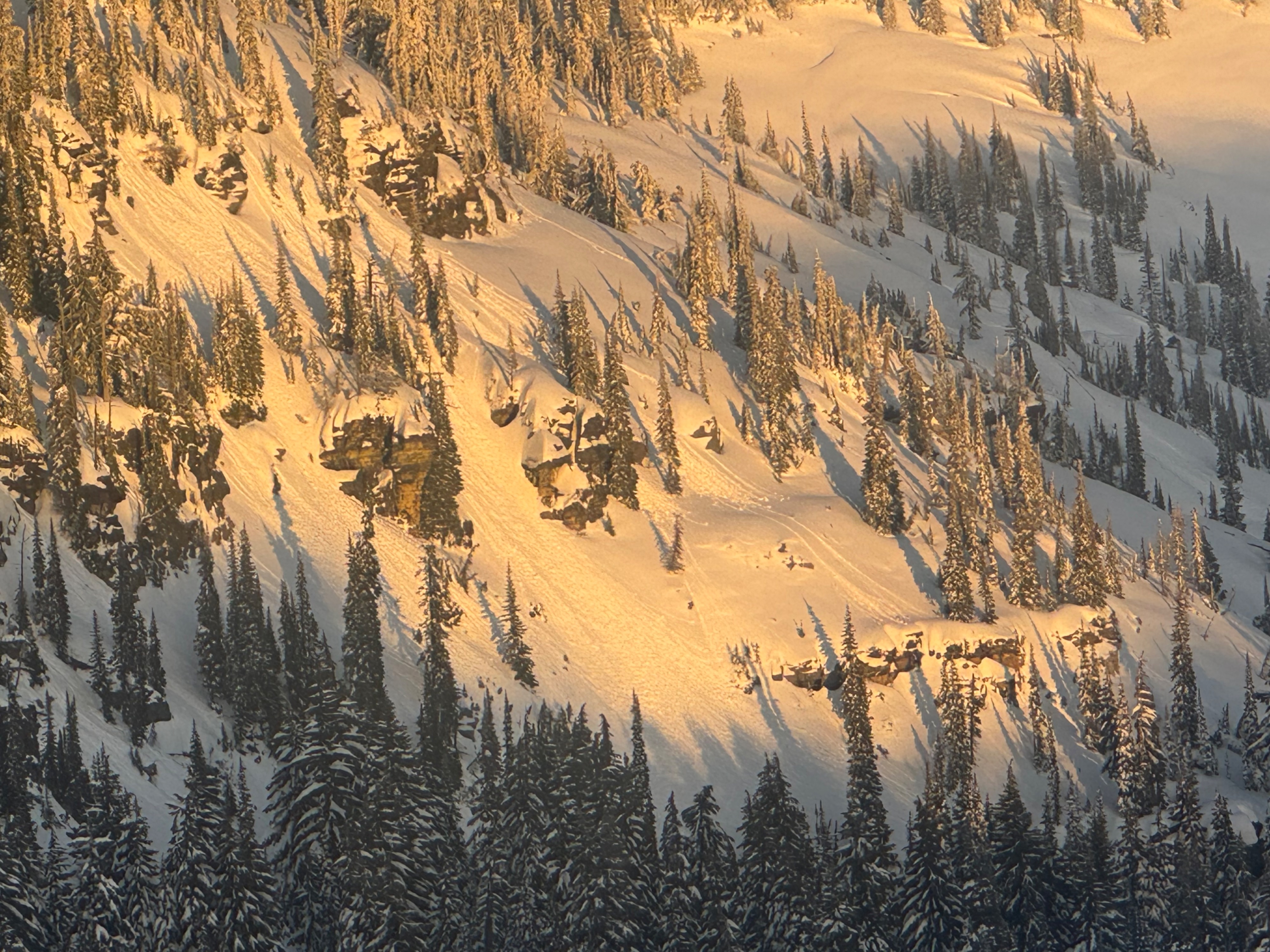
Numerous slopes that face SE-S-SW produced lots of long-running rollerballs from today's subtle warmup.Weather
- Cloud Cover
- clear
- Wind Loading
- light
- Recent Snowfall
- 25 to 35
- Snow Avail For Transport
- moderate amounts
Really nice day in the mountains - cool temperatures, abundant sunshine, and generally light winds. Winds were a bit elevated along ridgelines and certain terrain features above 7,000 feet. You could feel and see the effects of today's sunny skies with water dripping off trees at lower elevations and sunny slopes sofening but not turning gloppy.
Snowpack
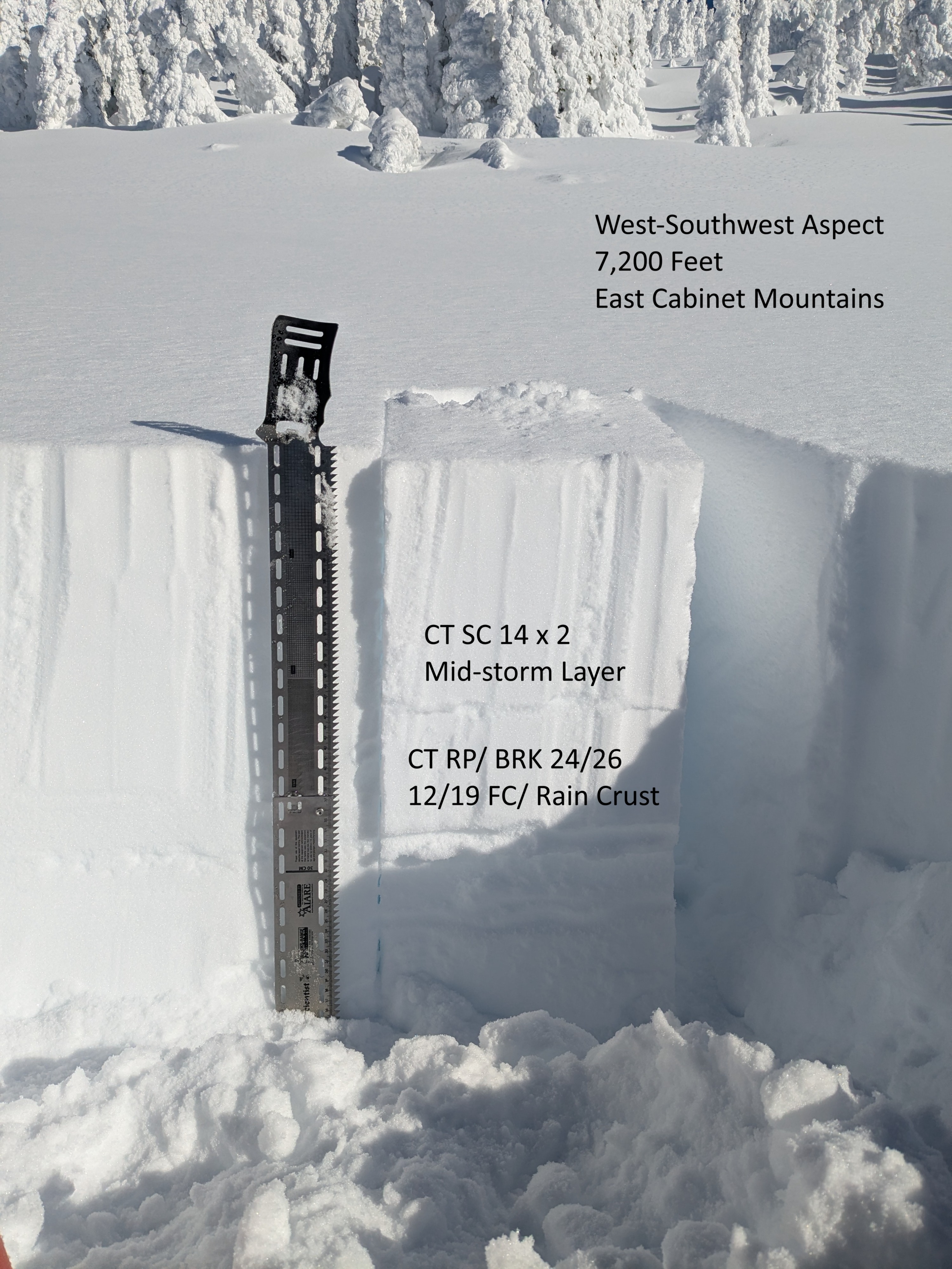
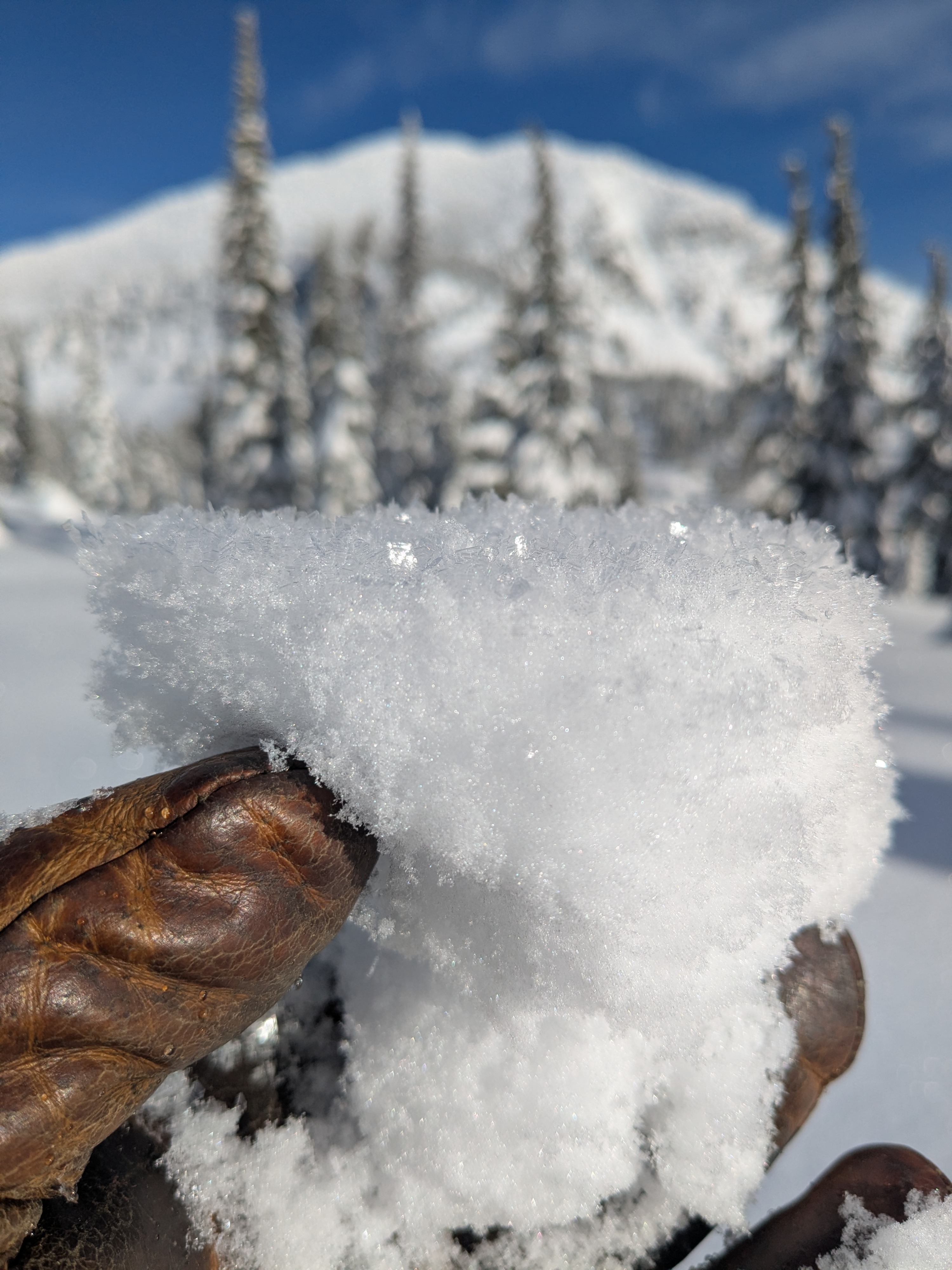
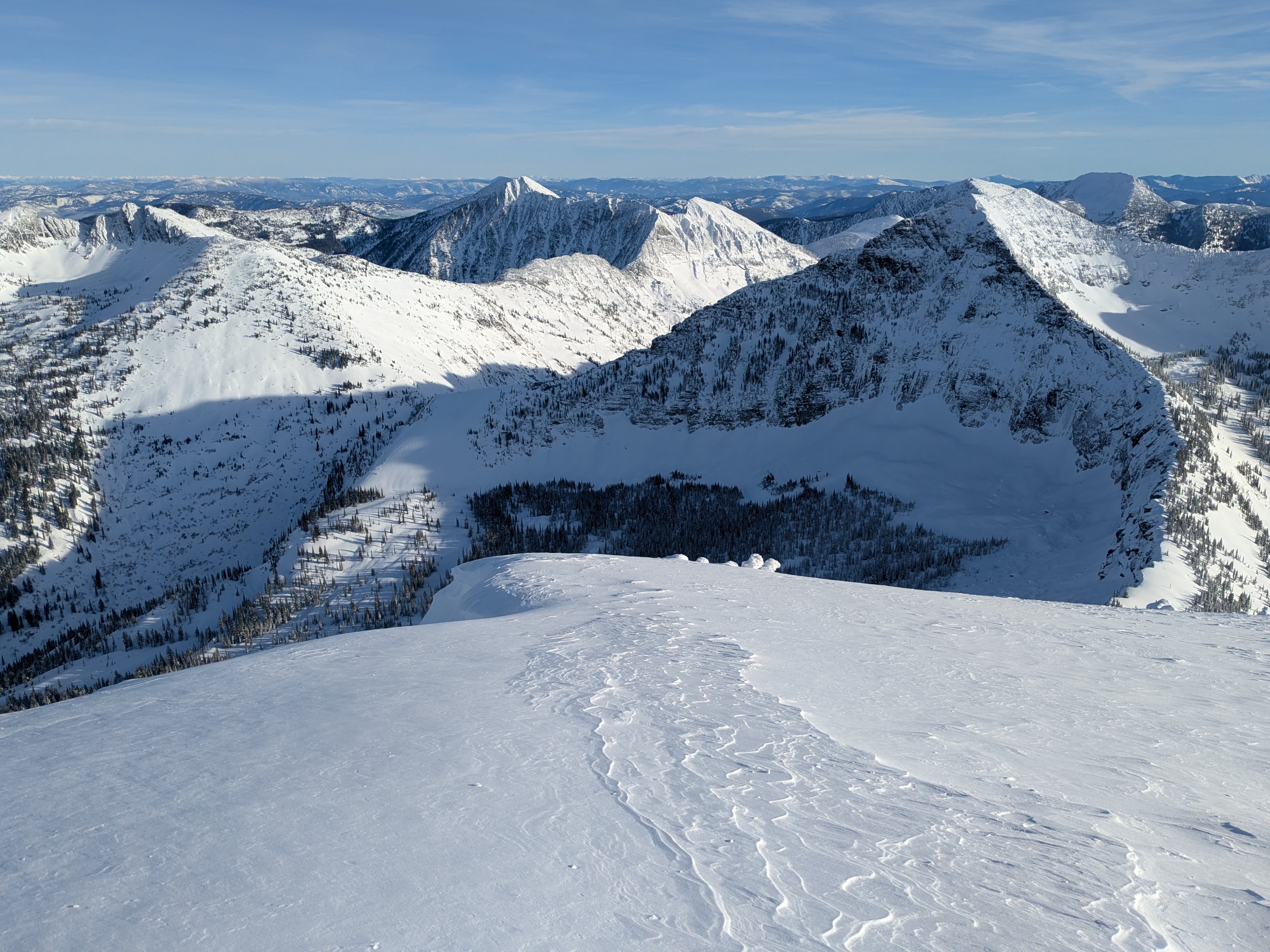
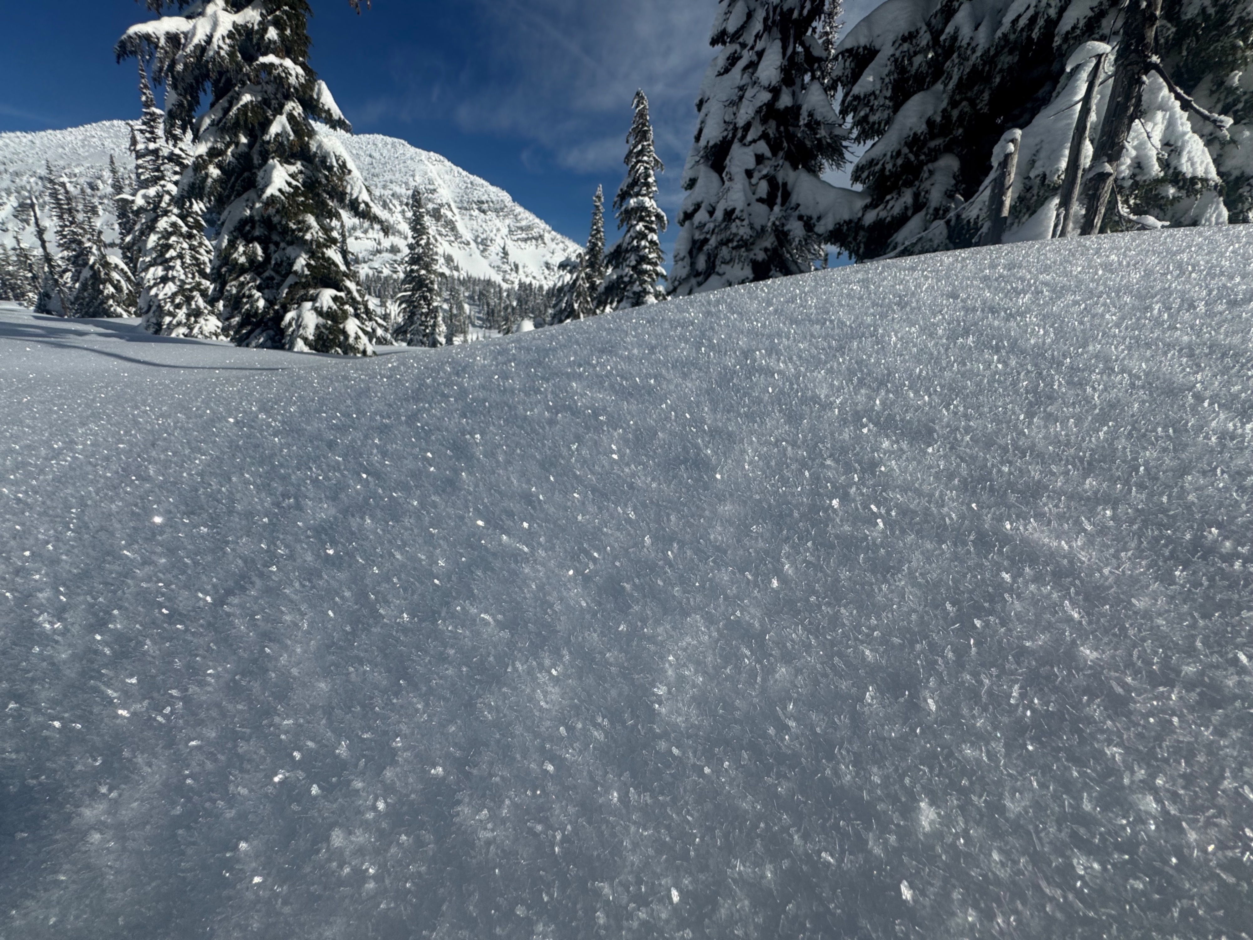
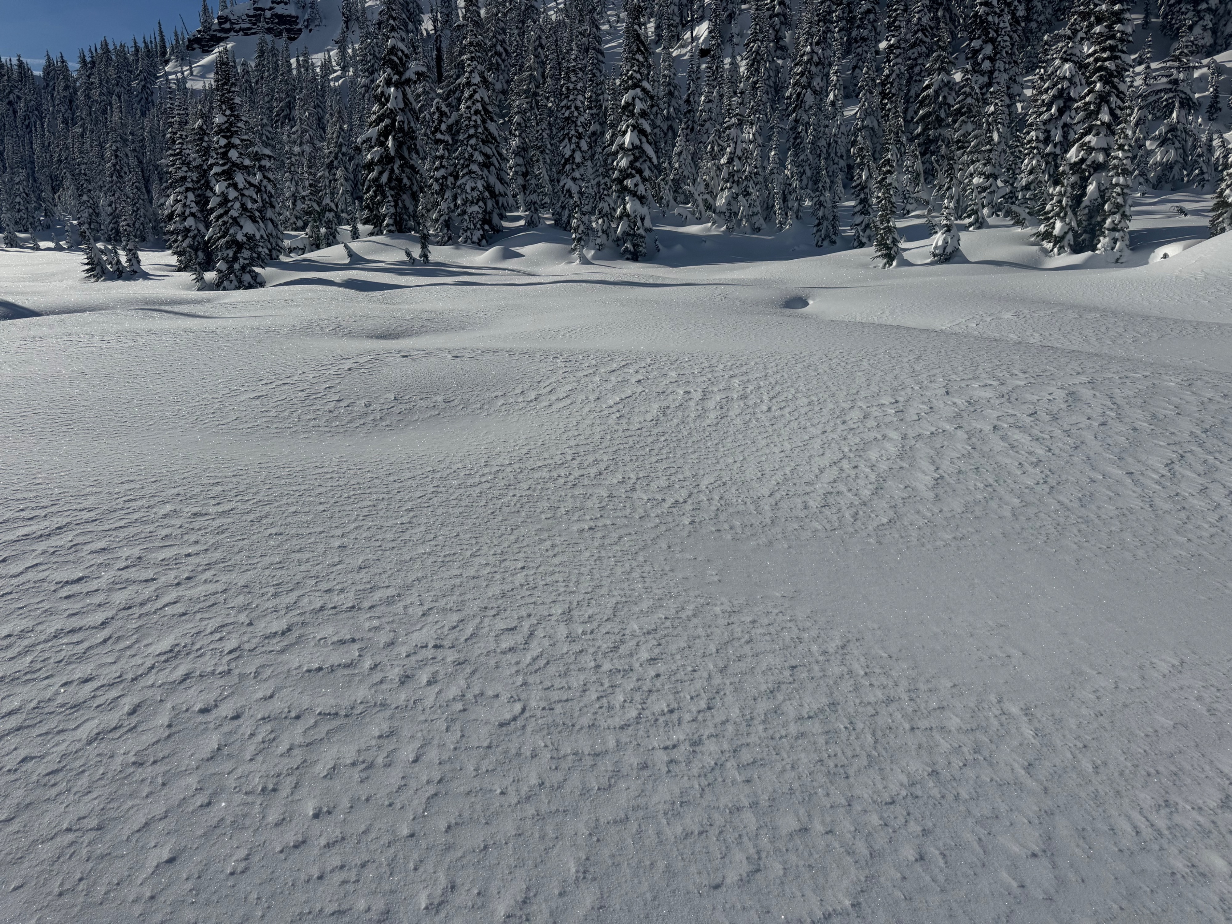
Snow depths observed today, in general, are the deepest we've found across all forecast zones and elevations. We also noted less pronounced rain crust in the upper snowpack at upper elevations. Once we climbed above 6,100 feet +/- we did not find the 12/24 Grinch crust, but this crust exists in the snowpack below this approx. elevation. The shallowest widespread rain crust are the 12/17 and 12/19 sandwich. Faceting around the crust was most advanced at middle elevation and still present above 7,000 feet - but not nearly as weak and the grains were smaller. Winds above about 7,000 feet continue to transport small amounts of snow onto leeward slopes, but these areas are more isolated now than in recent days. Lots of surface texturing to clue into where drifting lingers. If winds ramp up unexpectedly or as forecast later in the week, there is ample snow to add to drifted slabs on northerly and easterly-facing slopes. The AR crust from early December was 85 to 90 cm deep in our snowpit at 7,200 feet on a west-southwest aspect. Crust buried near the surface were stubborn to fail in snowpack tests but are still shallow enough to be a trigger concern for riders or a machine. Today's sun provoked lots of rollerballs on sunny slopes and those same places developed a thin zipper crust once shaded in the afternoon. The snow surface in wind-sheltered shady slopes is quickly softening from cold air temperatures and this is helping take the bite out of slabs over weaker snow layers there. In general, the snowpack here is mostly dry above the AR crust and could turn grumpy if the next storm system delivers rain - especially onto the snow where the midweek warmup doesn't wet the snow surface.
Avalanche
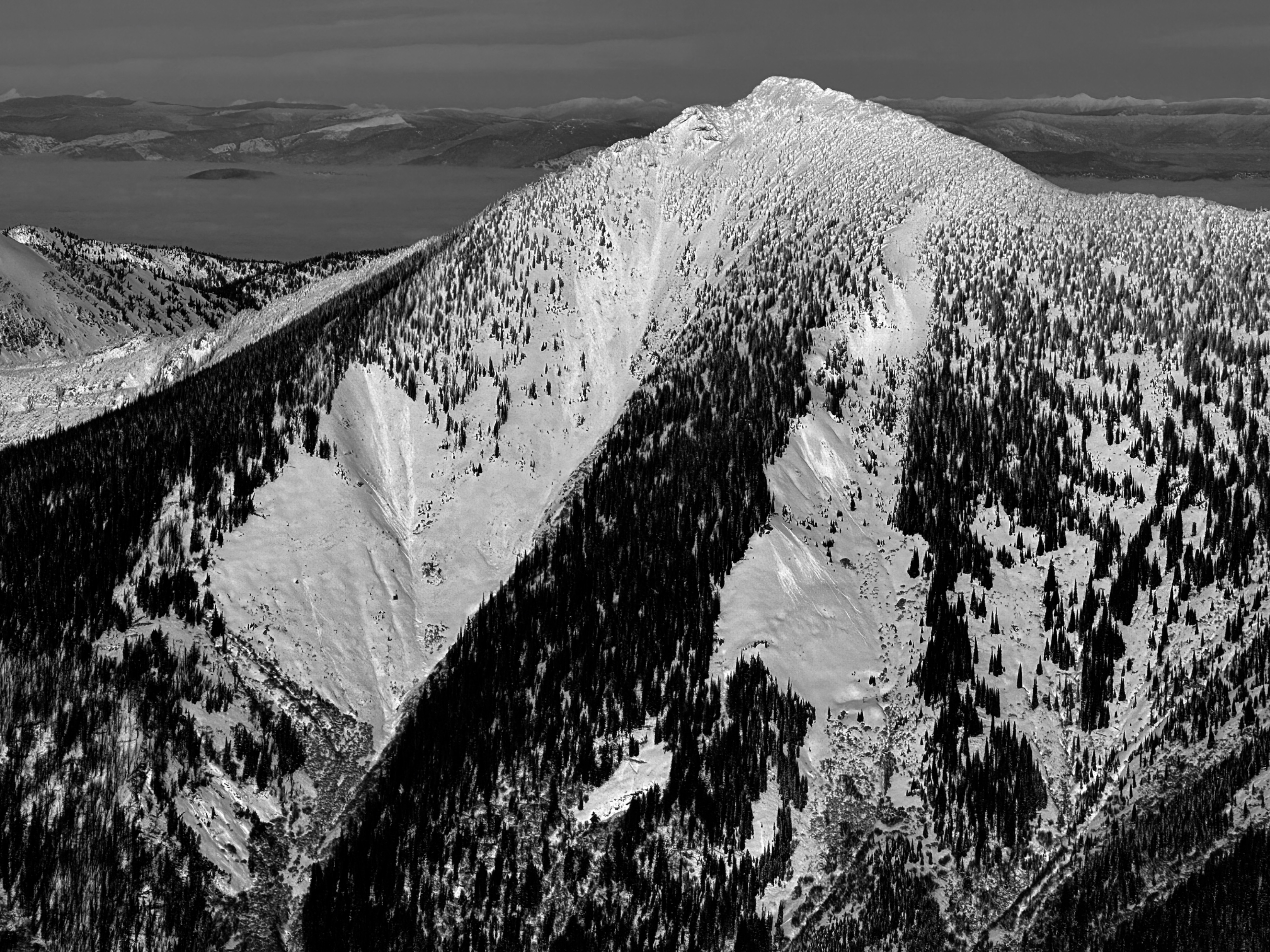
None observed