
Quick report
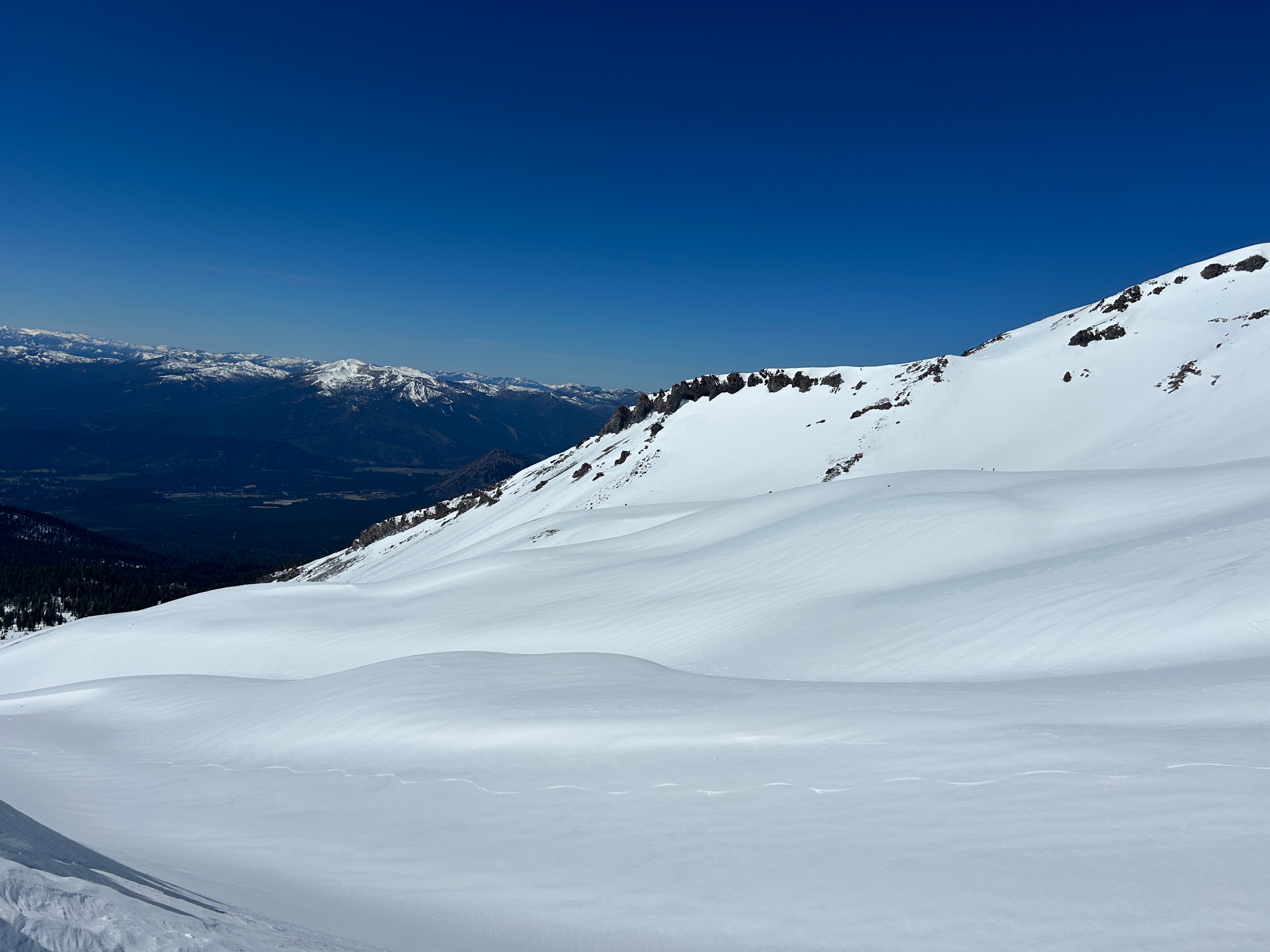
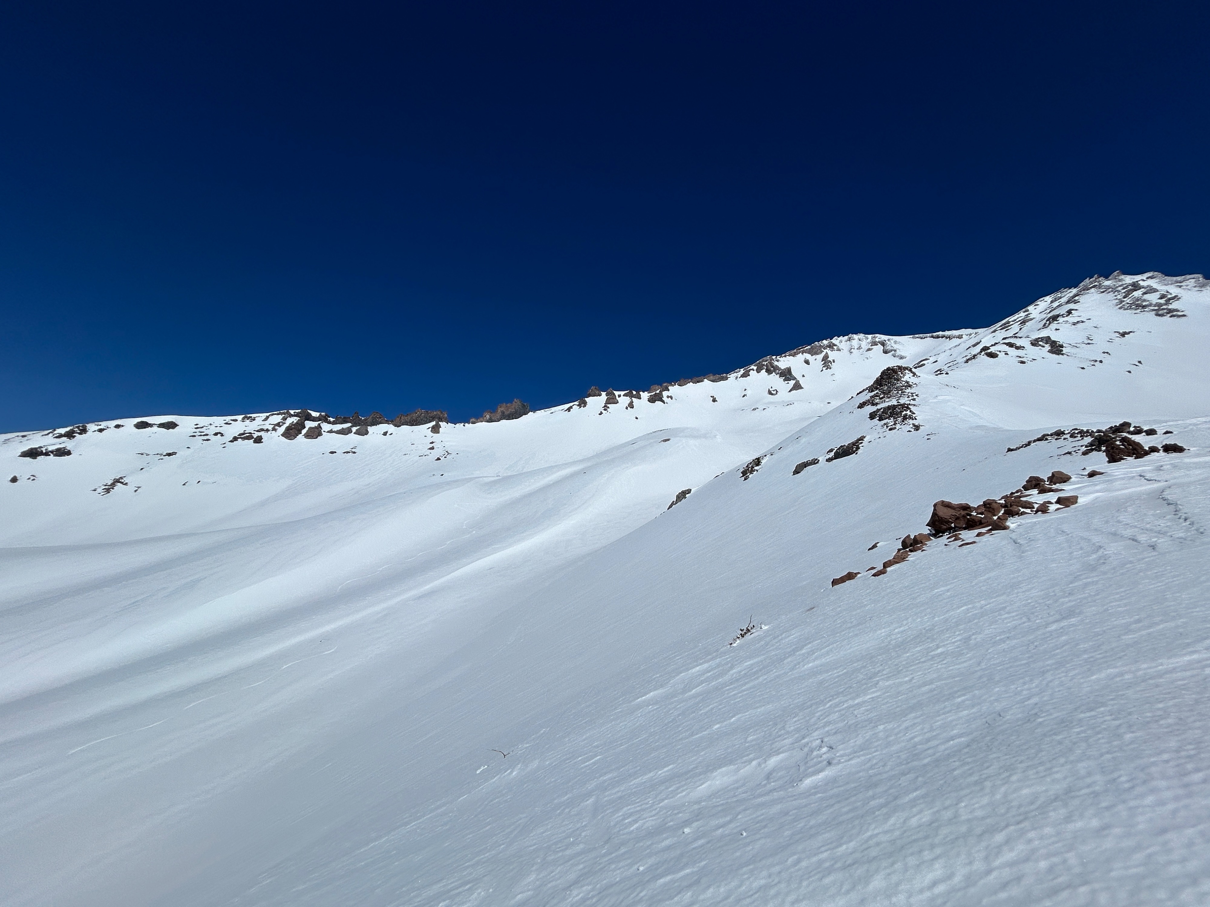
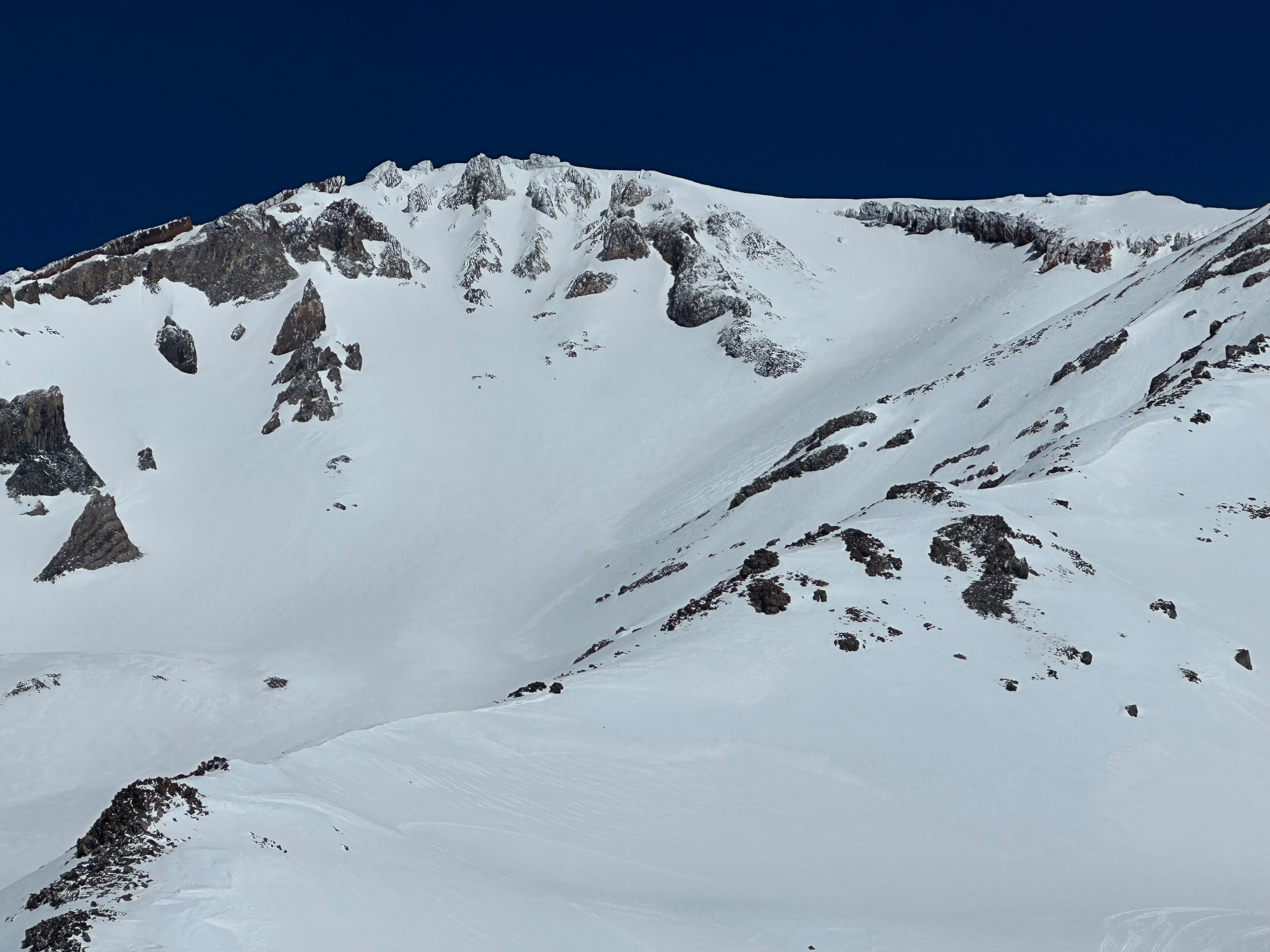
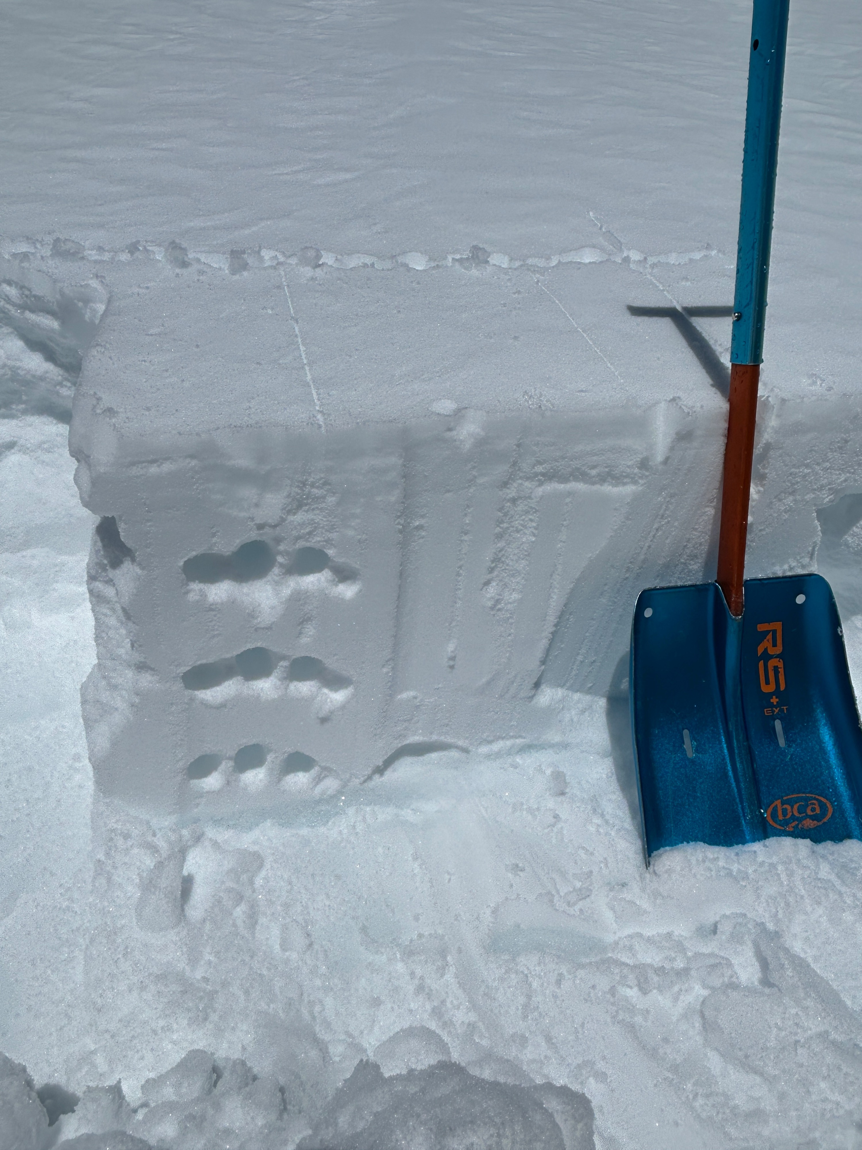
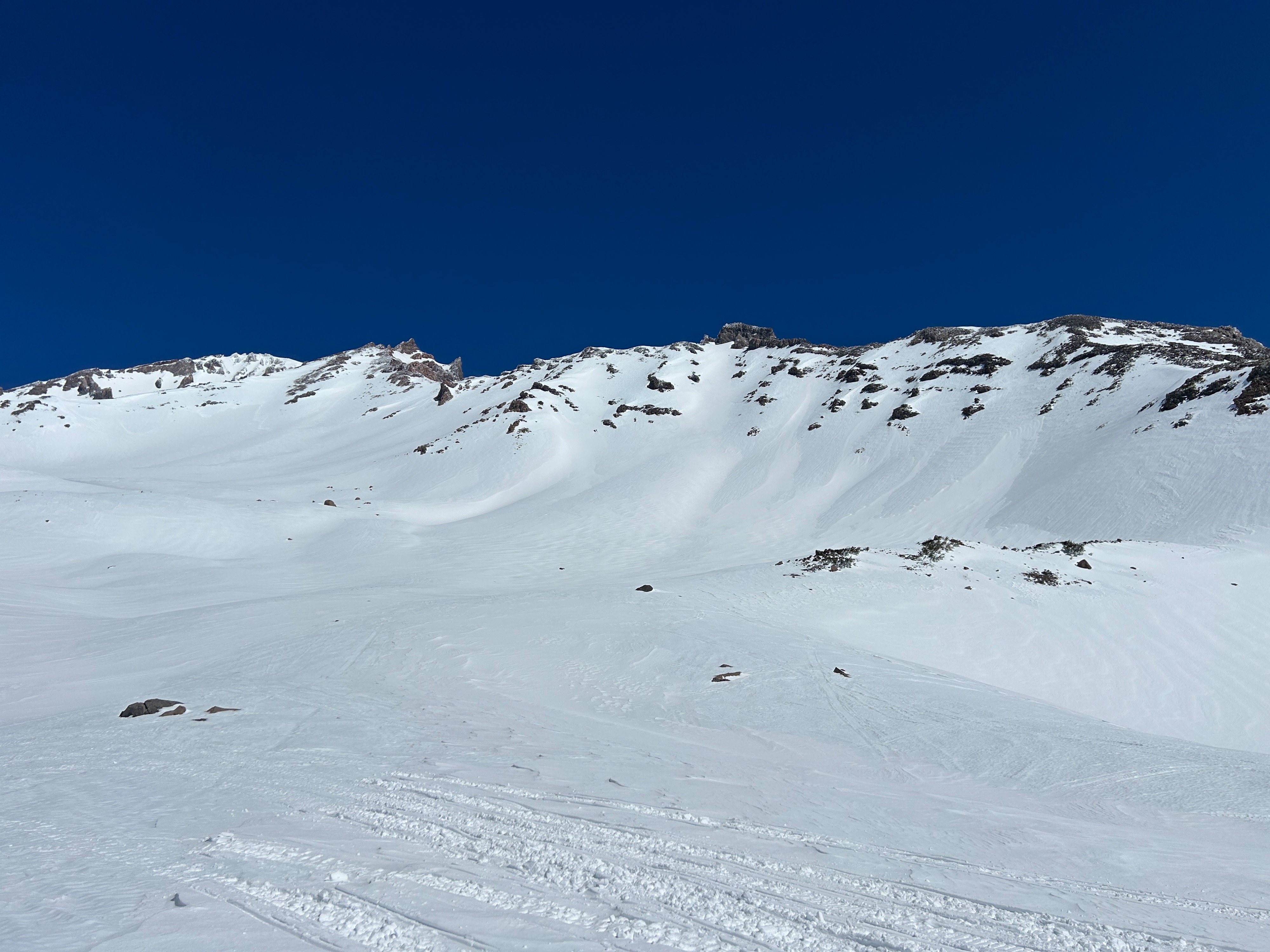
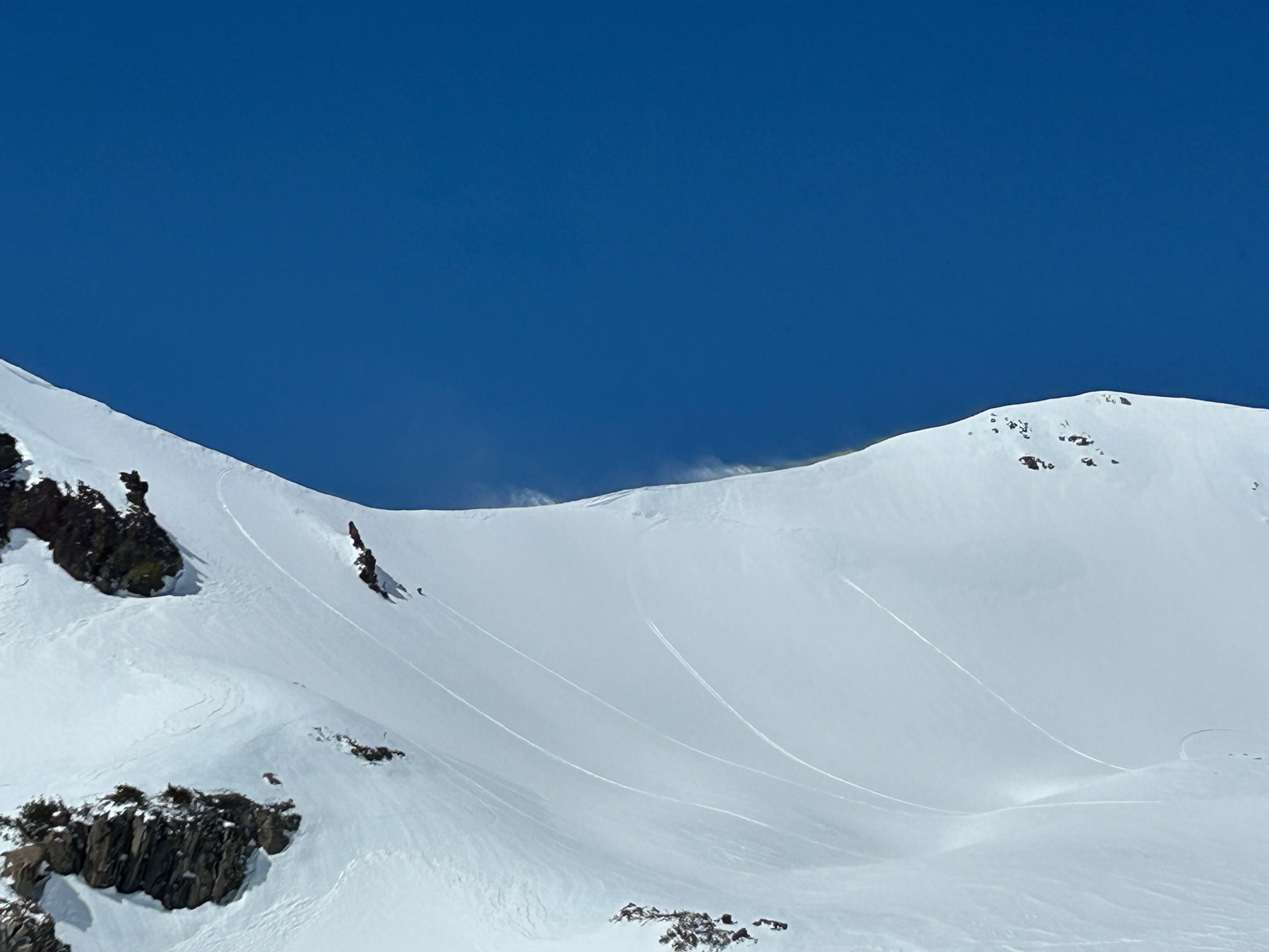
The recent storm was an overall improvement for the snowpack on Mount Shasta. On average, 4-6 inches of new snow exists, with upwards of a foot in drifted locations. All observed surfaces were well bonded and displayed no alarming signs of instability. Nevertheless, in extreme terrain, wind drifts and icefall are your two main hazards. Continue to assess for cracking in drifted snow and minimize time spent beneath rocks with rime ice.
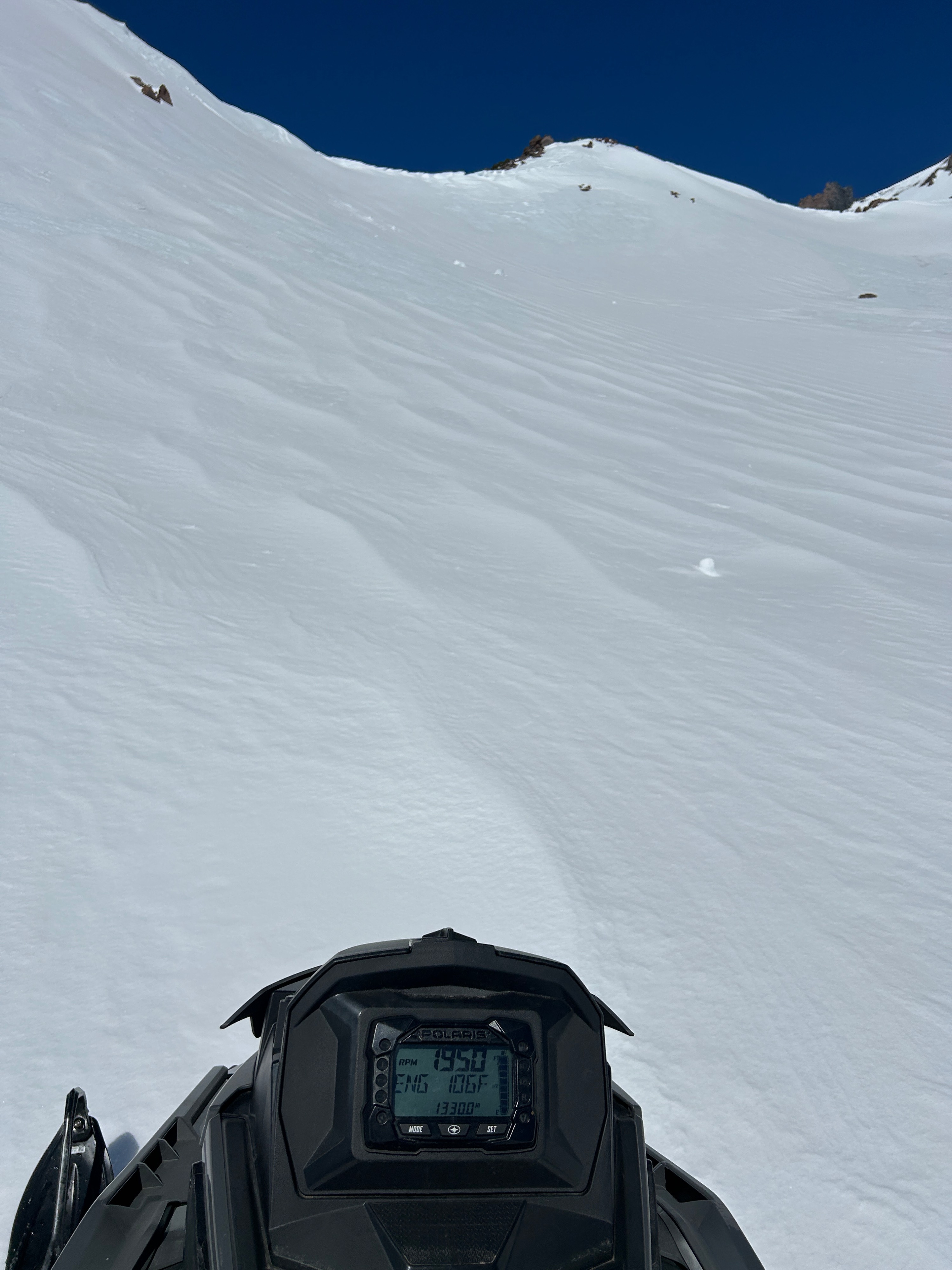
Mid- to large-size surface inconsistencies exist across the terrain as a result of scouring winds. Alpine bowls, gullies, and depressions hold the largest amounts of drifted snow, while rollovers and ridgelines have been scoured down to hundred-foot sections of firm snow and ice. Come prepared with the proper mountaineering tools and skills to arrest a fall.
On a south aspect at 9,500 feet in the Old Ski Bowl, the top inch of snow had begun to soften and melt. I would suspect a transition to a melt/freeze cycle in the days to come. As the weather trends warmer, time your travels appropriately to snow surfaces and time of day.
Weather
- Air Temp
- 45
- Cloud Cover
- clear
- Wind Loading
- light
- Recent Snowfall
- 7-14
- Snow Avail For Transport
- small smounts
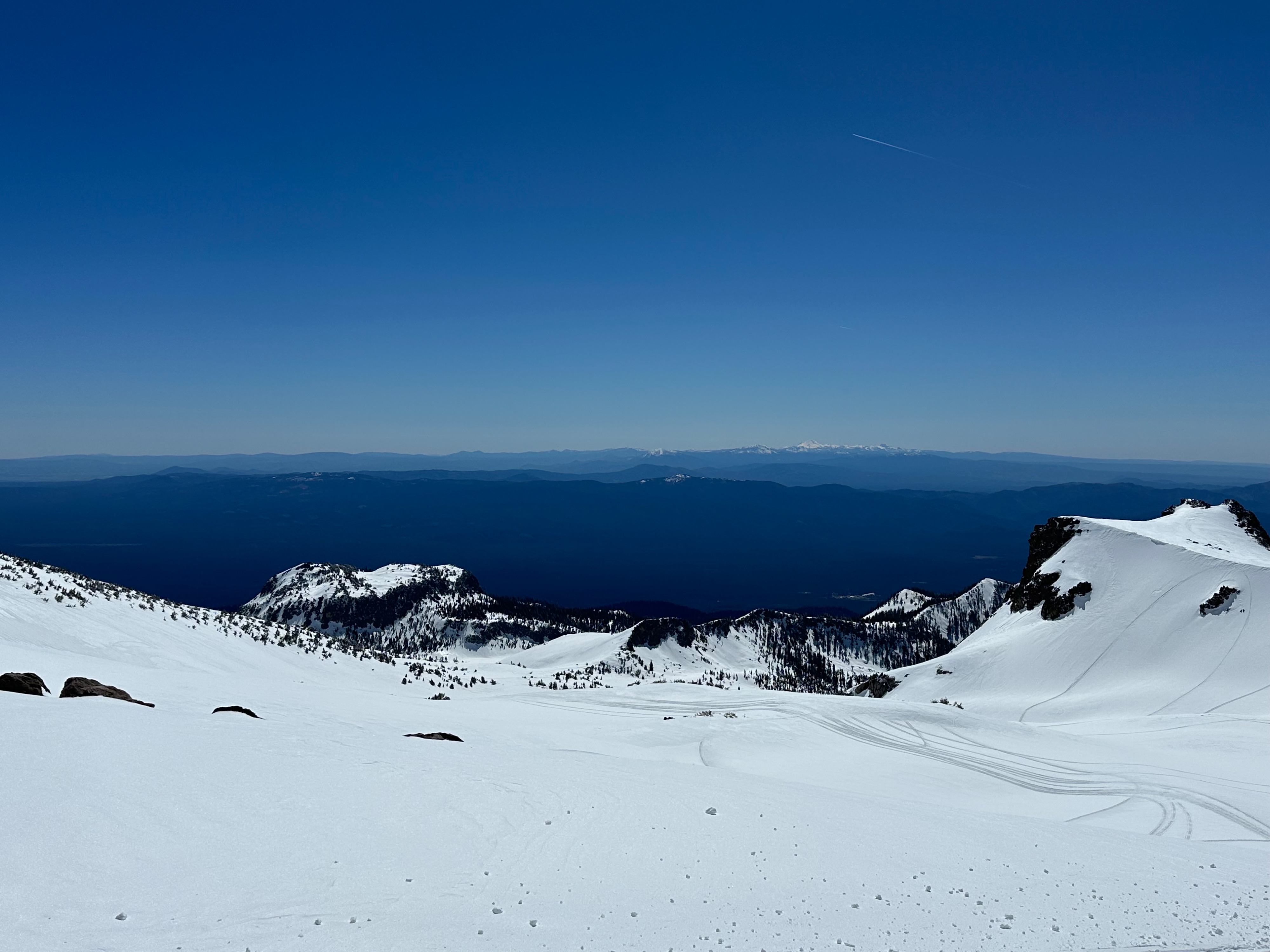
Building high pressure brought crystal clear skies, temperatures in the mid-40s, and predominantly easterly winds, blowing at light to strong speeds dependent on elevation and aspect.