
Quick report
A warm and windy day, with temperatures above freezing during my travels and strong wind gusts. Surface snow at 6200' and below became moist. Although the avalanche danger is on a downward trend from the most recent potent storm cycle, strong wind speeds are still redistributing snow and creating new slabs at upper elevations. Because the wind speeds have been so elevated, drifting and cross-loading are occurring beyond ridges on steep mid-slope terrain features.
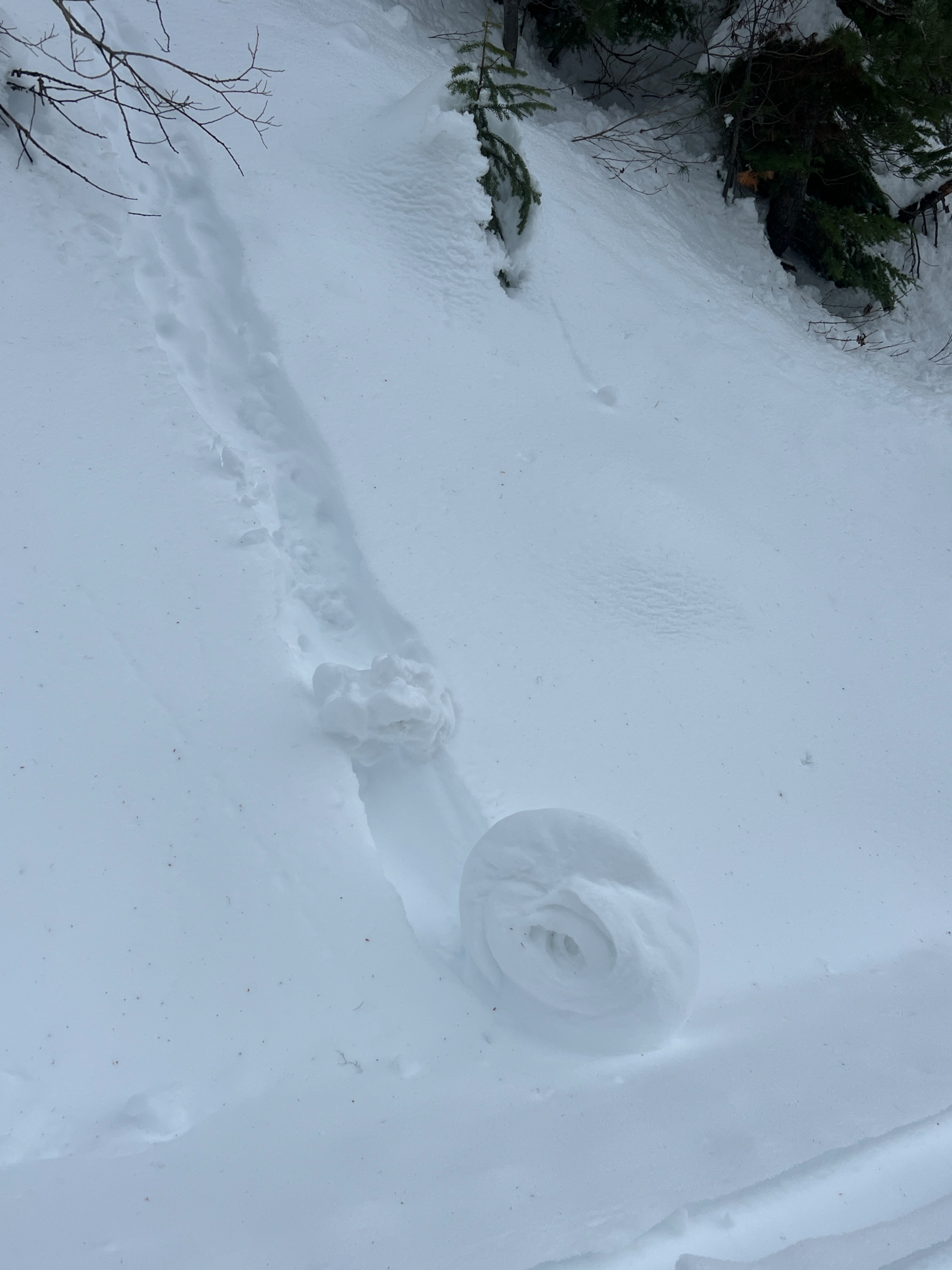
Some rollerballs that grew in size released on steep road cuts below tree line.Weather
- Cloud Cover
- broken
- Wind Loading
- moderate
- Rain Elevation
- Not observed
- Recent Snowfall
- Not observed
- Snow Avail For Transport
- moderate amounts
Warm day, with temps above freezing up into mid elevations. Sky cover waned between broken and overcast. Moderate to strong winds from the southwest made tall trees sway. Light rain felt imminent, but it did not rain during my time in the field.
Snowpack
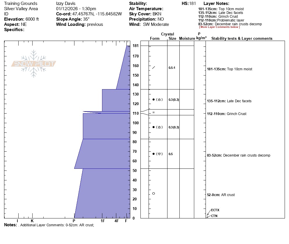
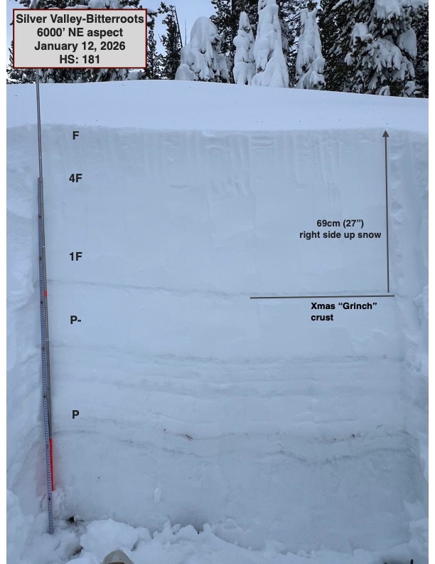
Above-freezing temperatures made the upper snowpack moist below tree line. About 6200' was the highest elevation I reached, and at that elevation, the top 10cm of snow was moist. I dug two pits at 6000' and at 6200', both on a primarily northeast aspect. Both locations revealed that the most recent snow is right side up and bonding and consolidating well. Similarly, snowpack tests at both locations yielded CTN and ECTX; for the first time in a long time, I did not get any failures. Rounding facets surrounded the "Grinch Crust," and the various December crust below that, but these grains were small and stubborn. I did not find any surface hoar or evidence of the January 3rd rain crust in either location.
Avalanche
None observed.