
Quick report
Solid refreeze overnight with both clear skies and temps in the teens F. Snow surface on E-facing didn't really soften until about noon. W-facing was perfect corn around 2:30pm.
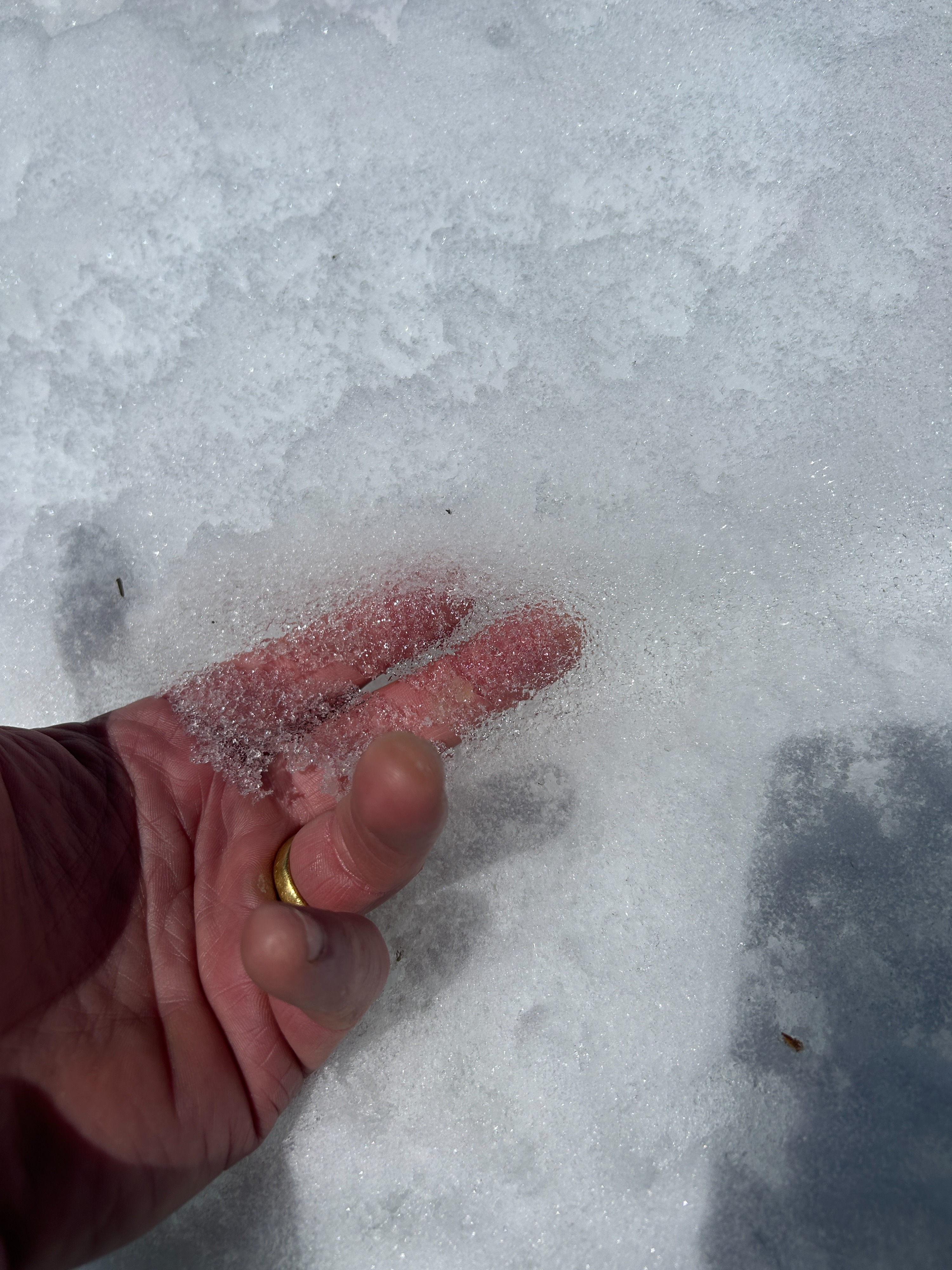
Even as the the upper few inches of snow softened and became wet, there was a very thin ice layer on top (photo below) that remained frozen all day due to cooling from radiotion losses to the clear sky. Solar radiation penetrated this thin layer of ice and warmed the snow just under it.
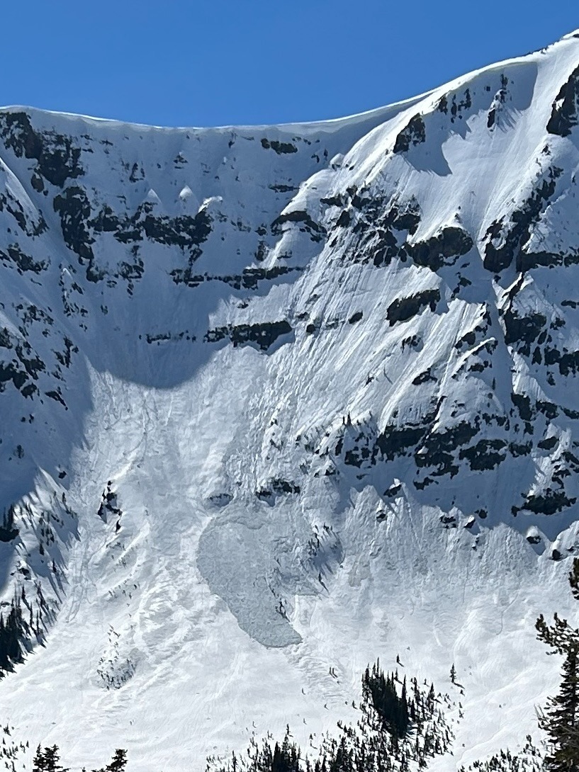
Isolated areas of thin snow (less than about 2 feet deep) near rocks were only frozen on the top layer of snow, but remained warm, wet, & unsupportable. This was likely the cause of the one avalanche we saw in very steep, thin, and rocky terrain where it didn't take much sun and warming for the snow to release. This was an isolated issue in extreme terrain.
North faces are solid, and hard/icy skiing so we opted for snow warming in the sun
Snowpack
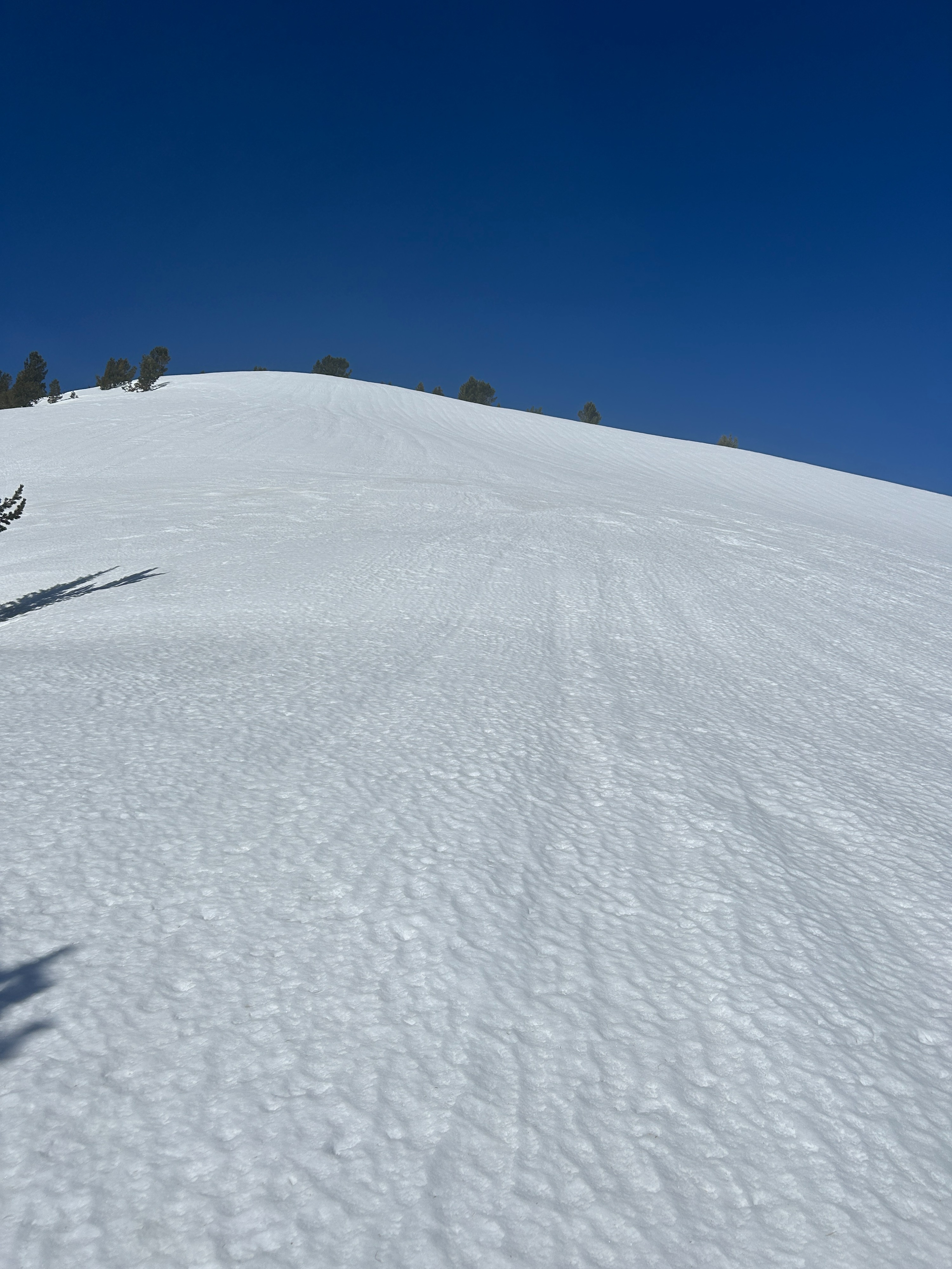
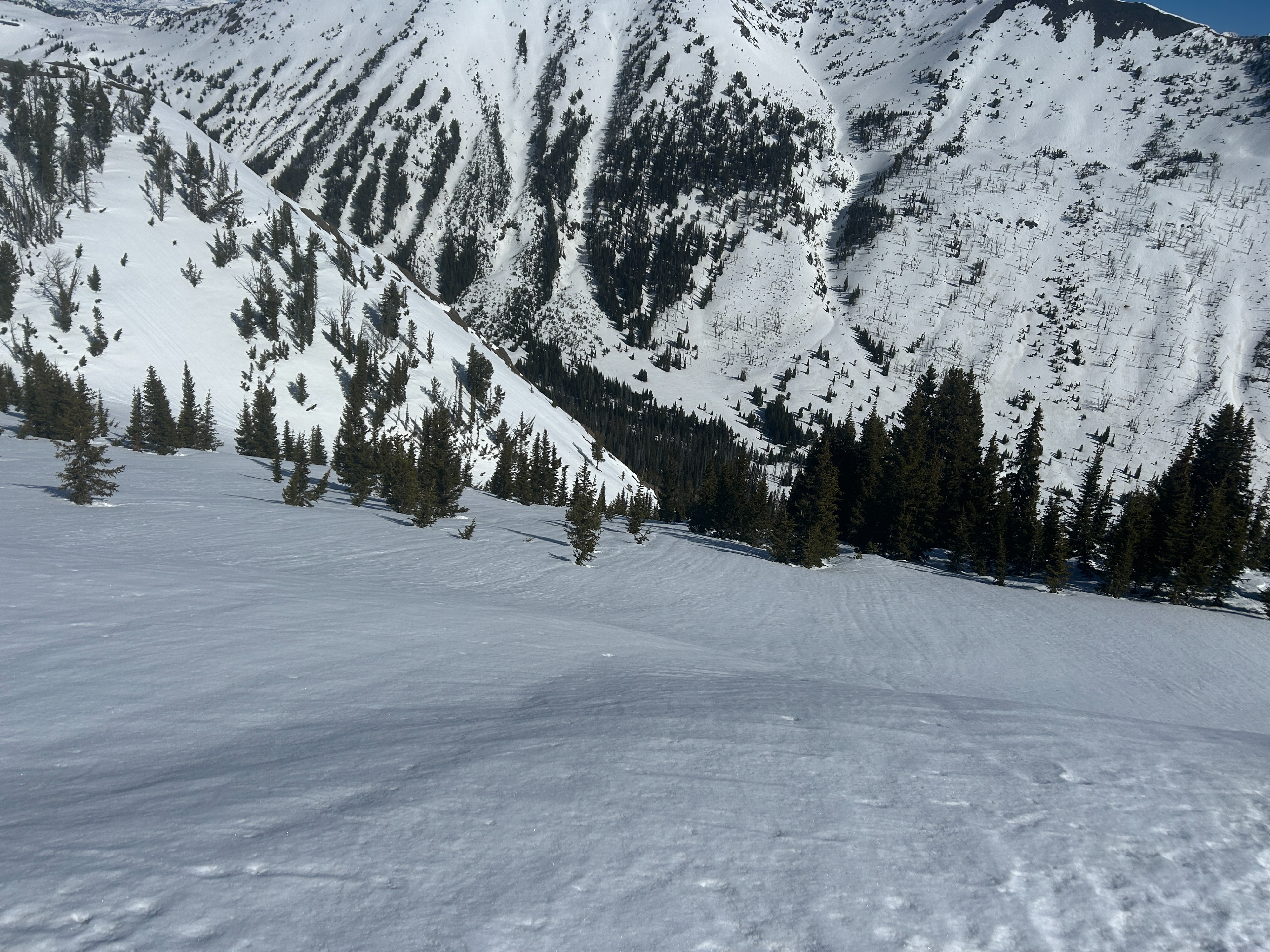
Runnels evident on many aspects (photos below) - these are "grooves" seen on the snow surface that indicate the movement of liquid water downhill through the snowpack. As the snowpack develops this "plumbing" it can then handle melting and the movement of liquid water without becomeing unstable.
Avalanche
- Size
- D1.5
- Type
- WL
- Aspect
- E
- Trigger
- N
- Elevation
- 9800 ft