
Avalanche
View on mapRoute 2 Road Obs - West Glacier to East Glacier
Josh Lipkowitz/blase reardon
Quick report
We took a road tour along Route 2 to look for recent avalanche activity.
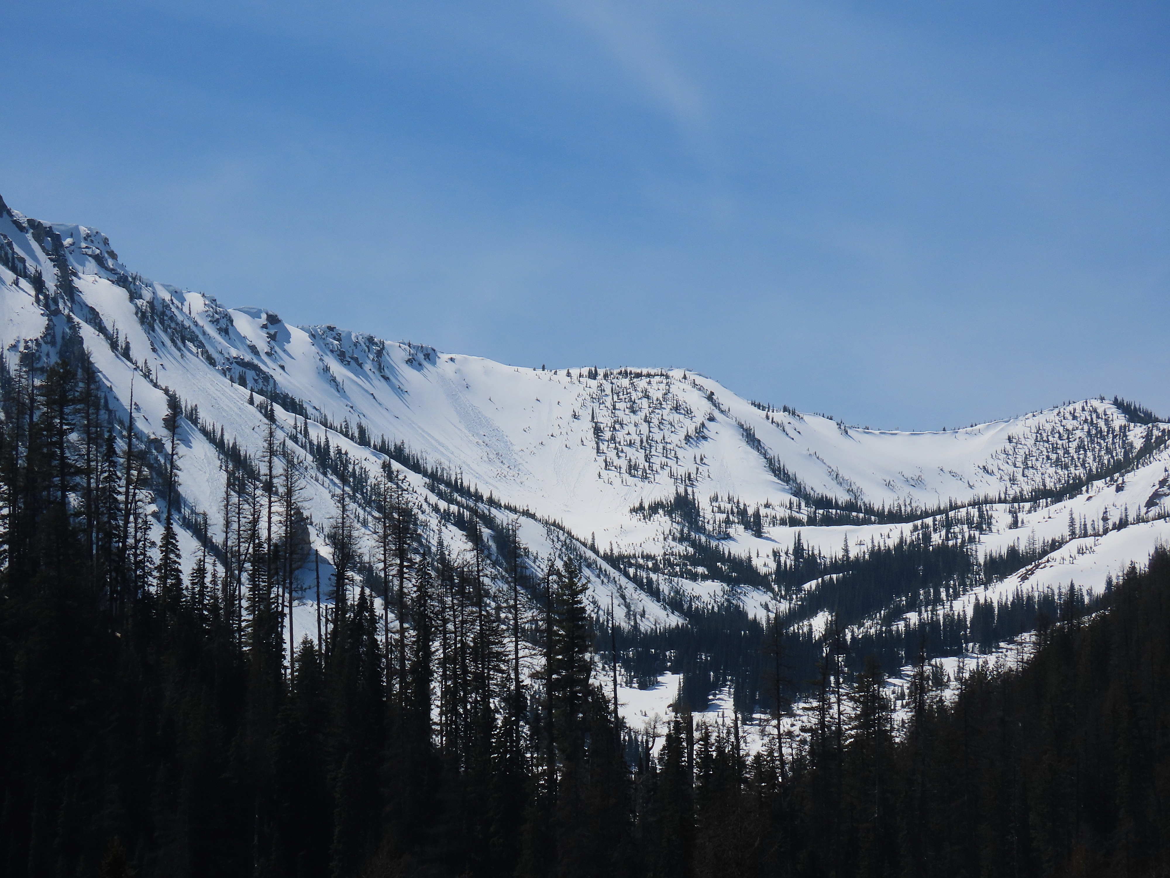
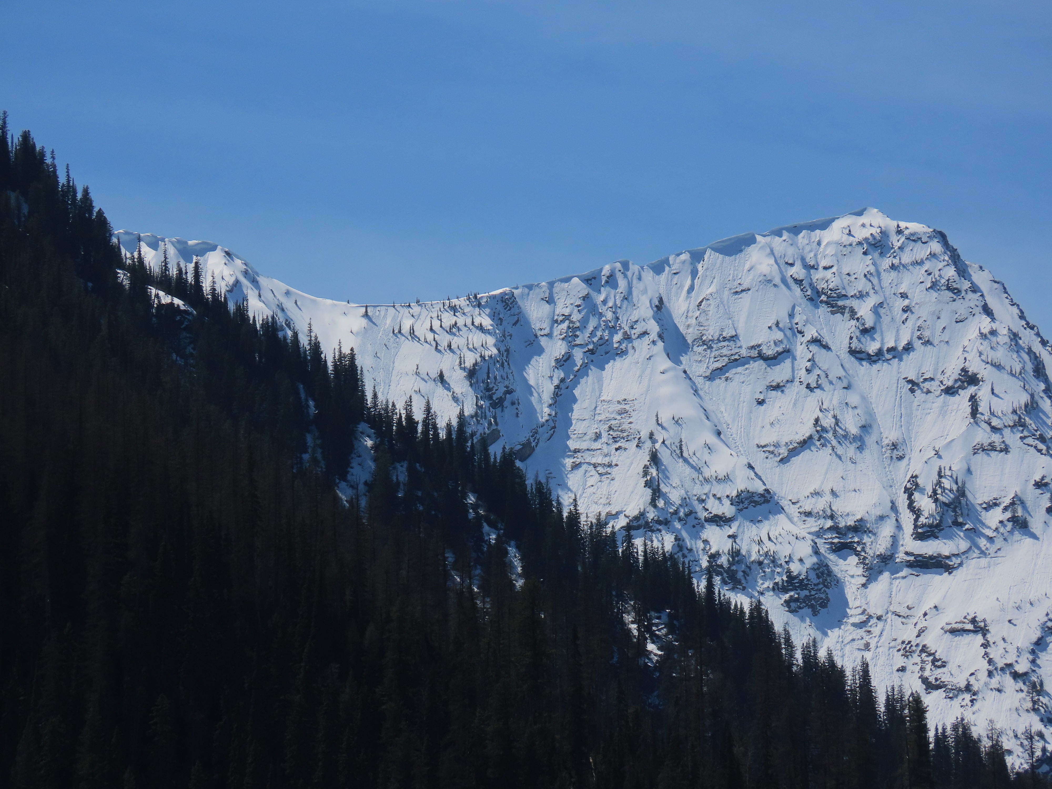
- In the Middle Fork corridor from Penrose to Essex, we observed recent wet loose avalanches, likely within the past 48 hours. Most activity occurred on east–north-northwest aspects, though there is limited visibility of south-facing terrain in this corridor.
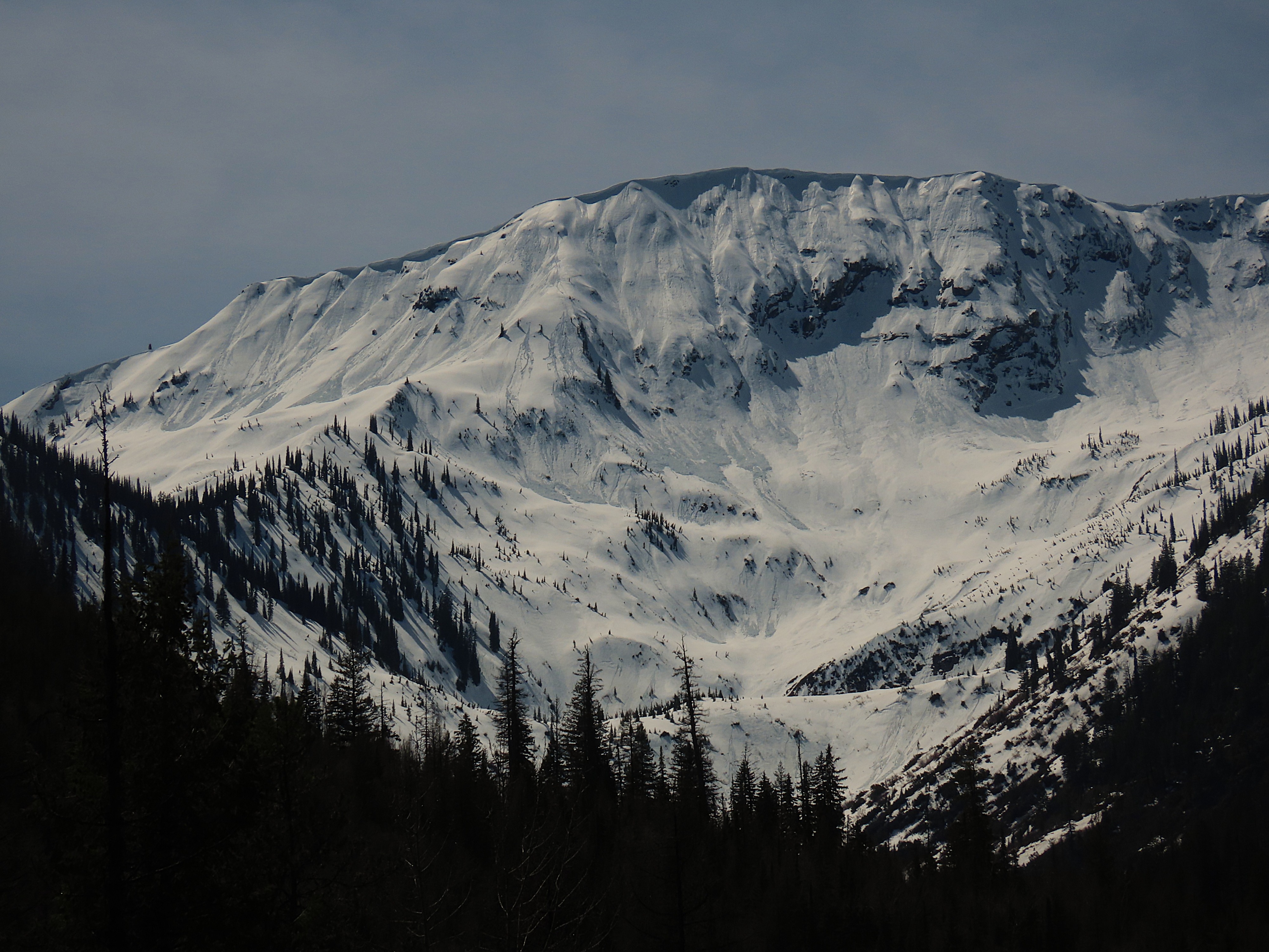
- The most significant avalanches (up to size 2) were on the northeast face of Nyack (into Cascadilla/Crystal) and the east face of Cameahwait (into Sheep Creek).
- Outside of these areas, many slopes showed rollerballs or signs of small surface slides, but with minimal entrainment.
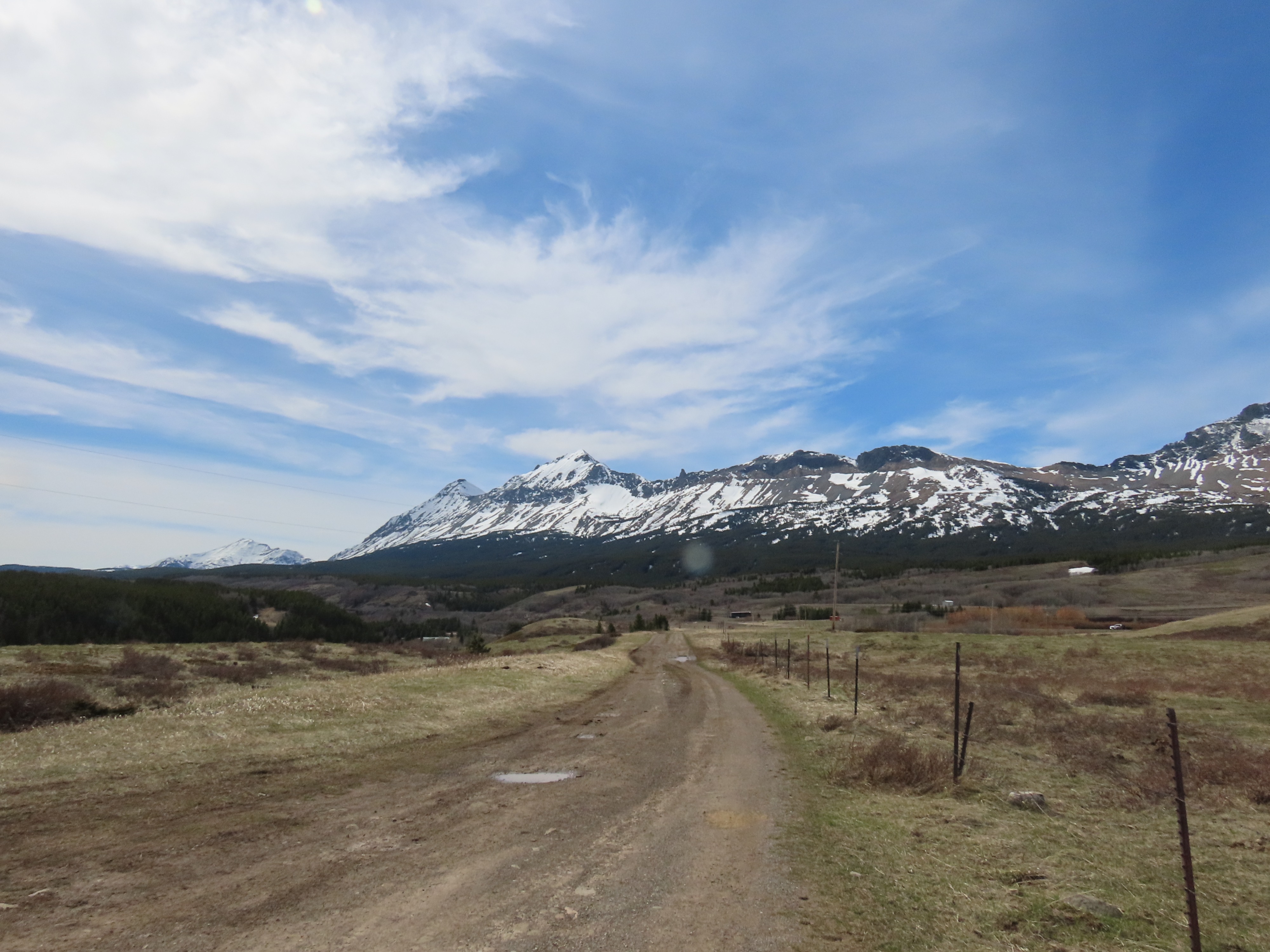
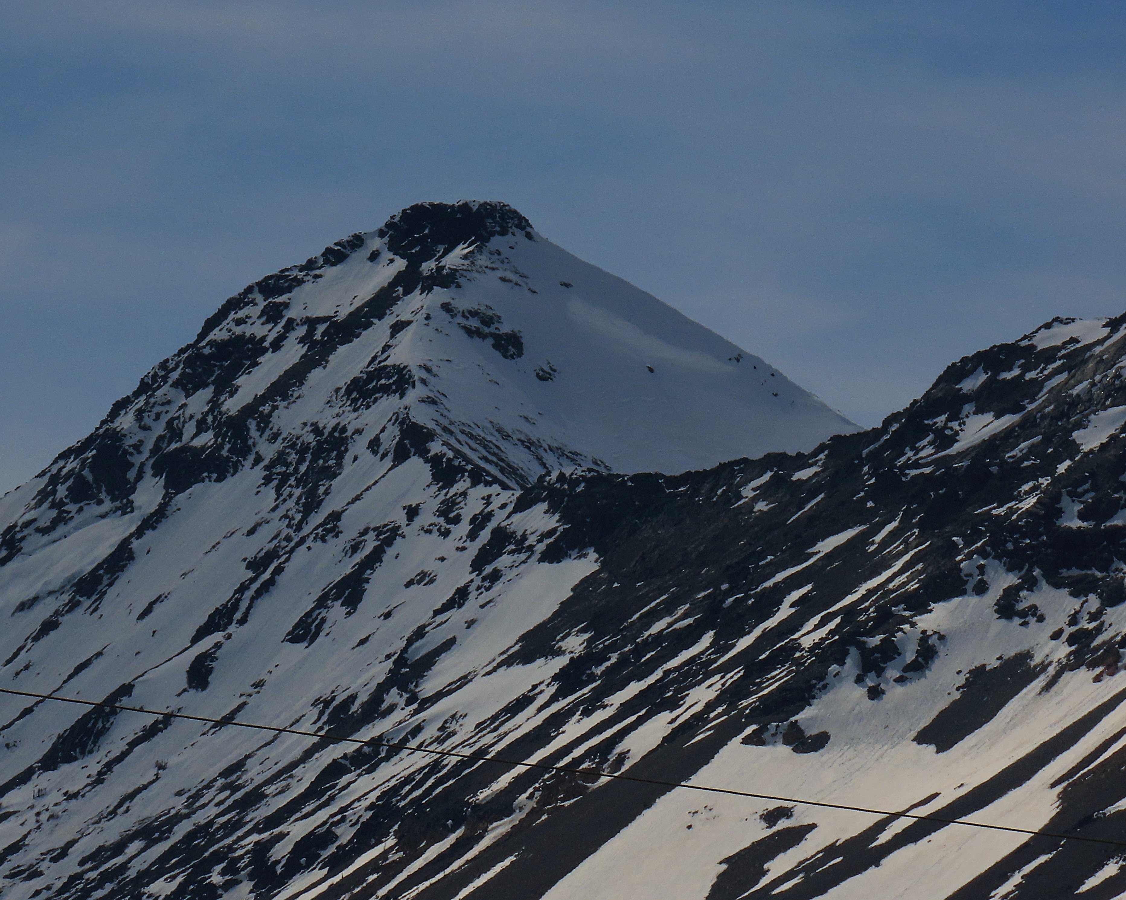
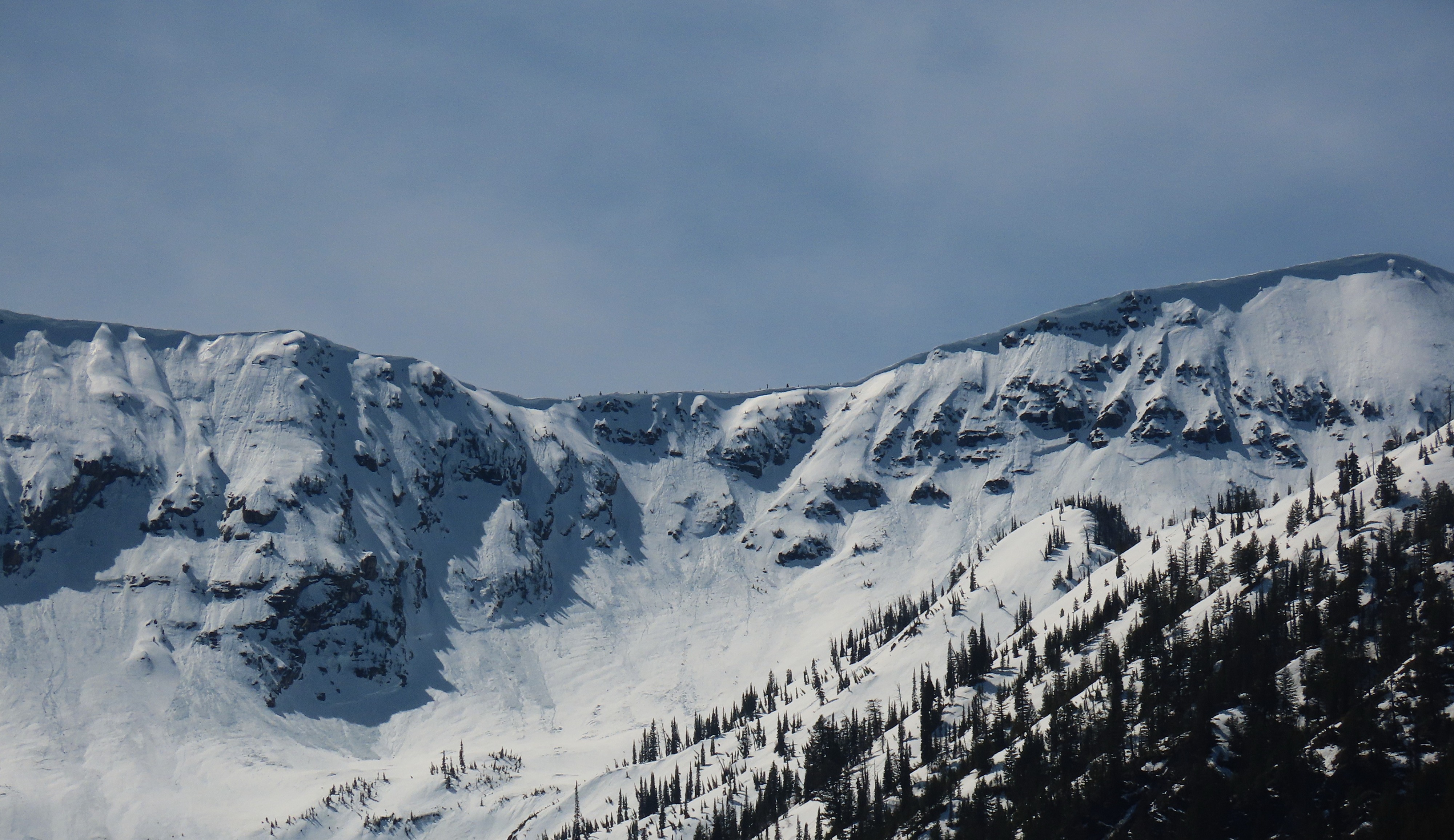
- From John F. Stevens Canyon to East Glacier, we observed minimal recent activity. A few gullies on the east face of Elk (GNP) had some decent new debris piles, but otherwise there was little evidence of significant avalanching thus far from this warm-up.
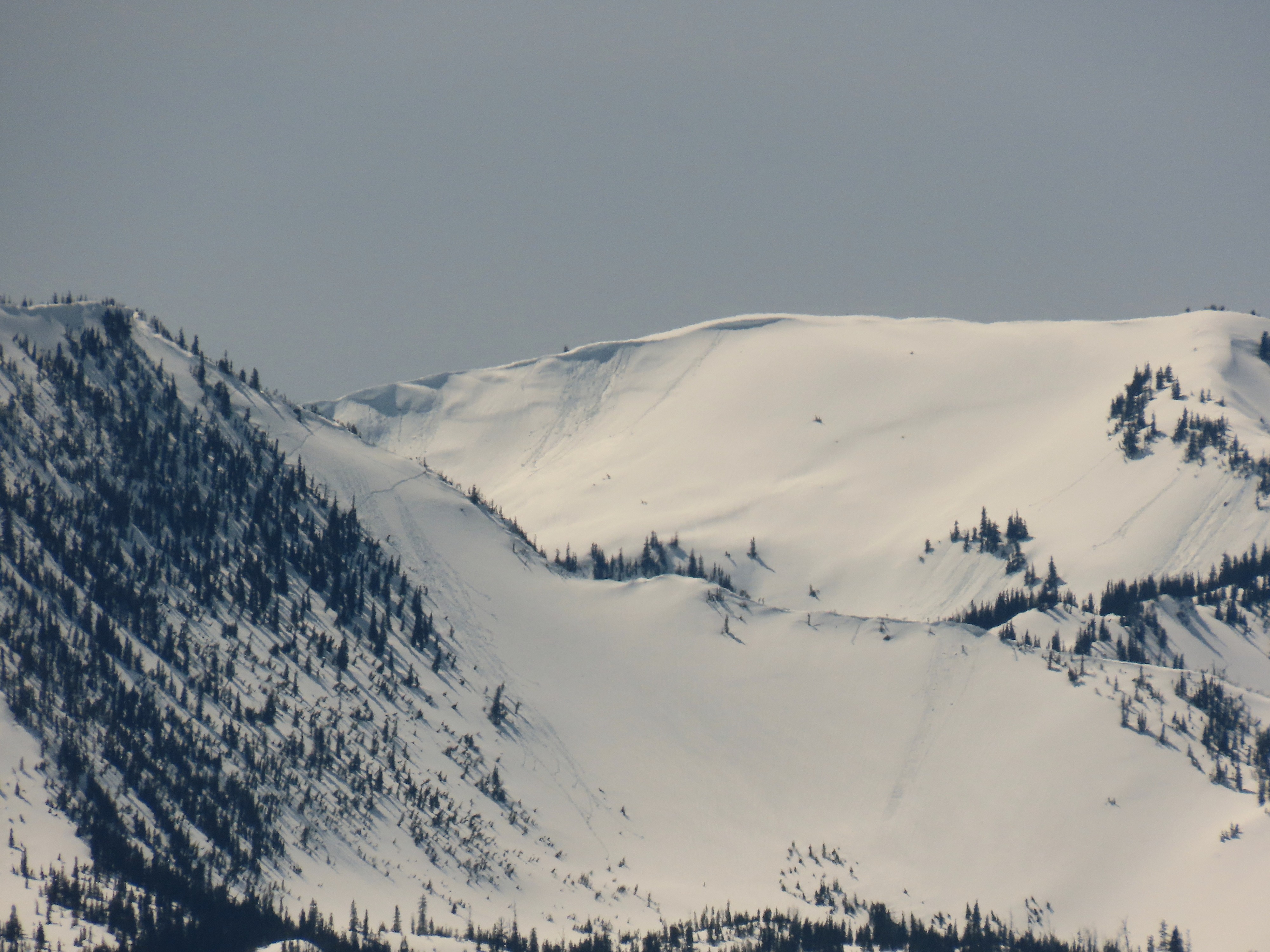
- We also noted older slab avalanches on Showshed, Snowslip, and an exceptionally deep crown on the northeast face of Little Dog.
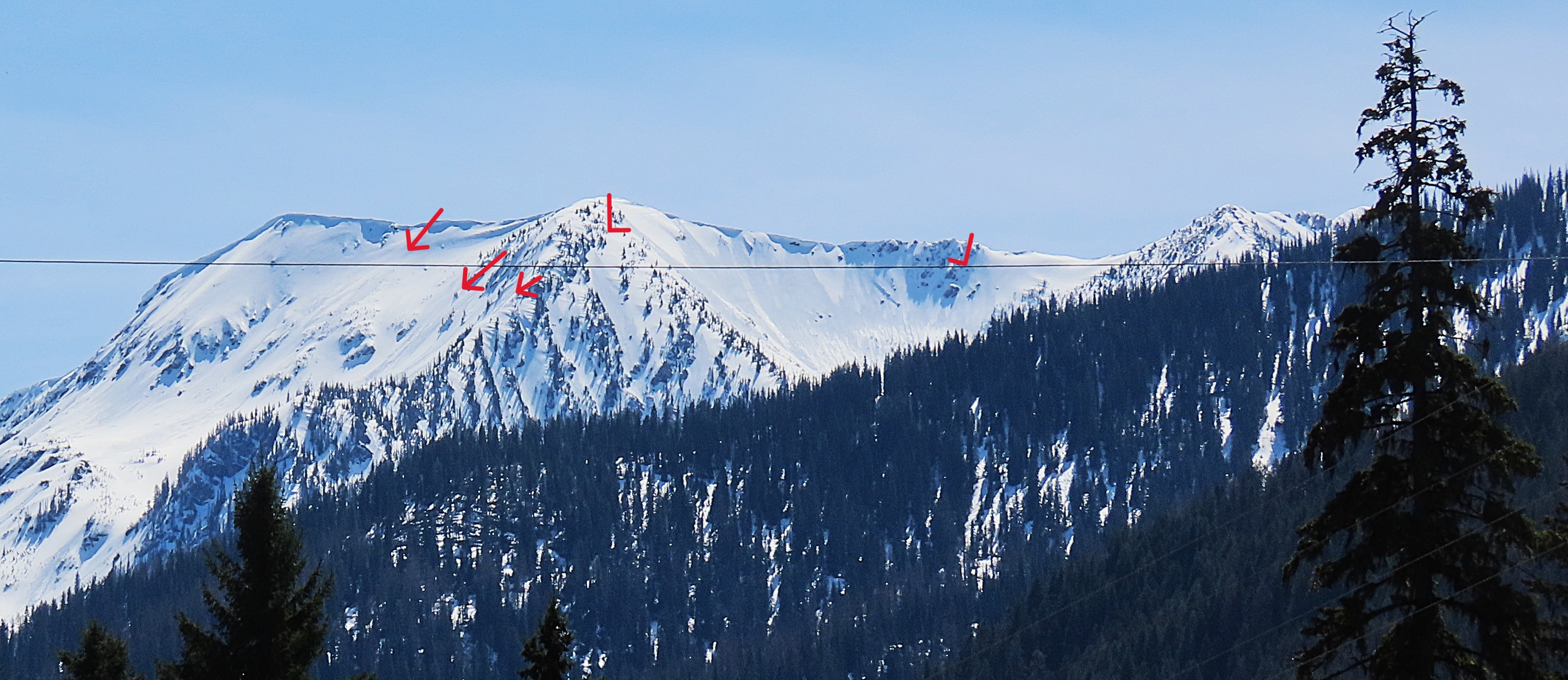
- A few small to medium size cornice failures were visible on Summit and Flattop Mountain (Skyland Area), though the timing of these events is unclear.
Weather
- Cloud Cover
- scattered
Some upper-level clouds built throughout the day.
Avalanche
- Size
- D3 R3
- Type
- HS
- Count
- 4
- Aspect
- NE
- Trigger
- N
- Elevation
- 8400 ft
Wet loose up to size 2.