
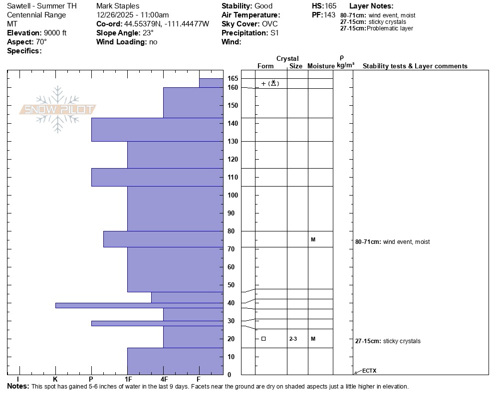
Quick report
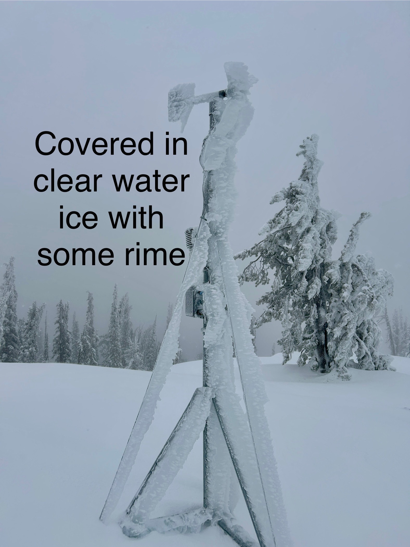
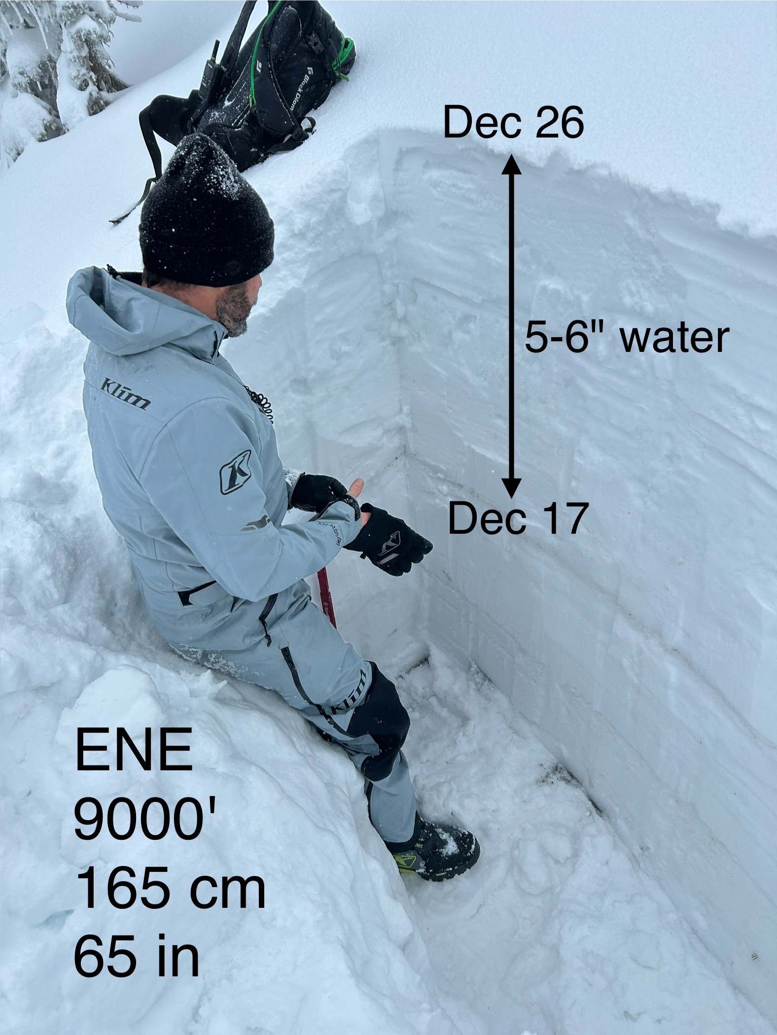
In the last 9 days, this area has gotten 5-6 inches of water. This precip has fallen mostly as rain at valley level and mostly as snow at 9000 ft. Some rain has fallen even at higher elevations, and all the trees have a thick layer of ice on them.
- Up to about 8500 ft, the old, weak, faceted snow became warm & wet and may not longer be a problem
- Above about 9000 ft, the old, weak, faceted snow remains dry and loose. It has a massive load of snow on it, but would not break in ECT tests. HOWEVER, we didn't have time to test this layer in more than two locations.
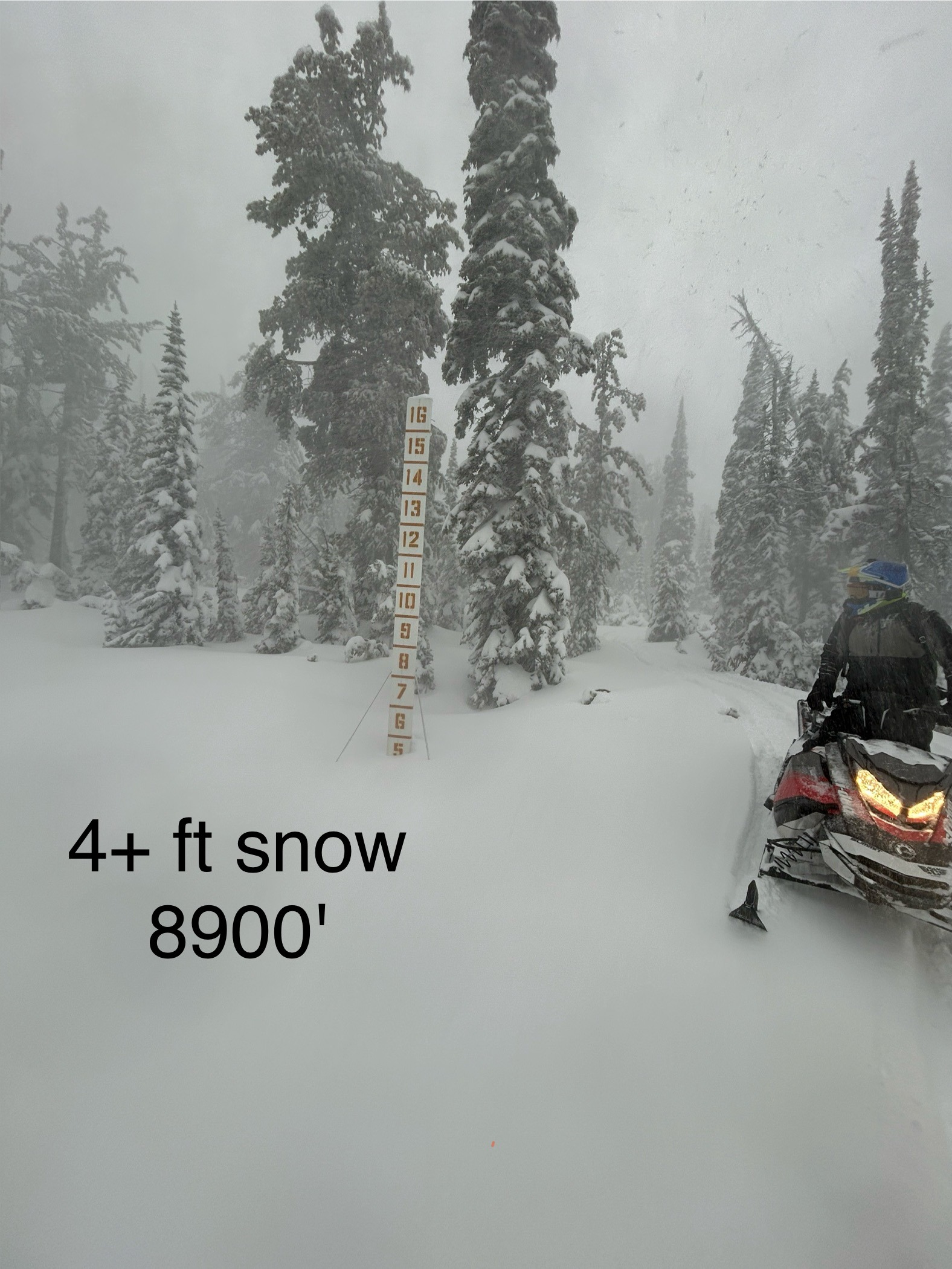
Generally, the snowpack has grown dramatically at mid and upper elevations. There are two avalanche problems to consider at the moment:
- Wind slabs at upper elevations
- Persistent slabs breaking on deeply buried faceted, weak layers - These should be quite hard to trigger (based on a limited observation), but they would break HUGE.
There has been so much icing. All the trees are covered in thick ice. Tree tops are bent over and many branches have broken.
Snowpack
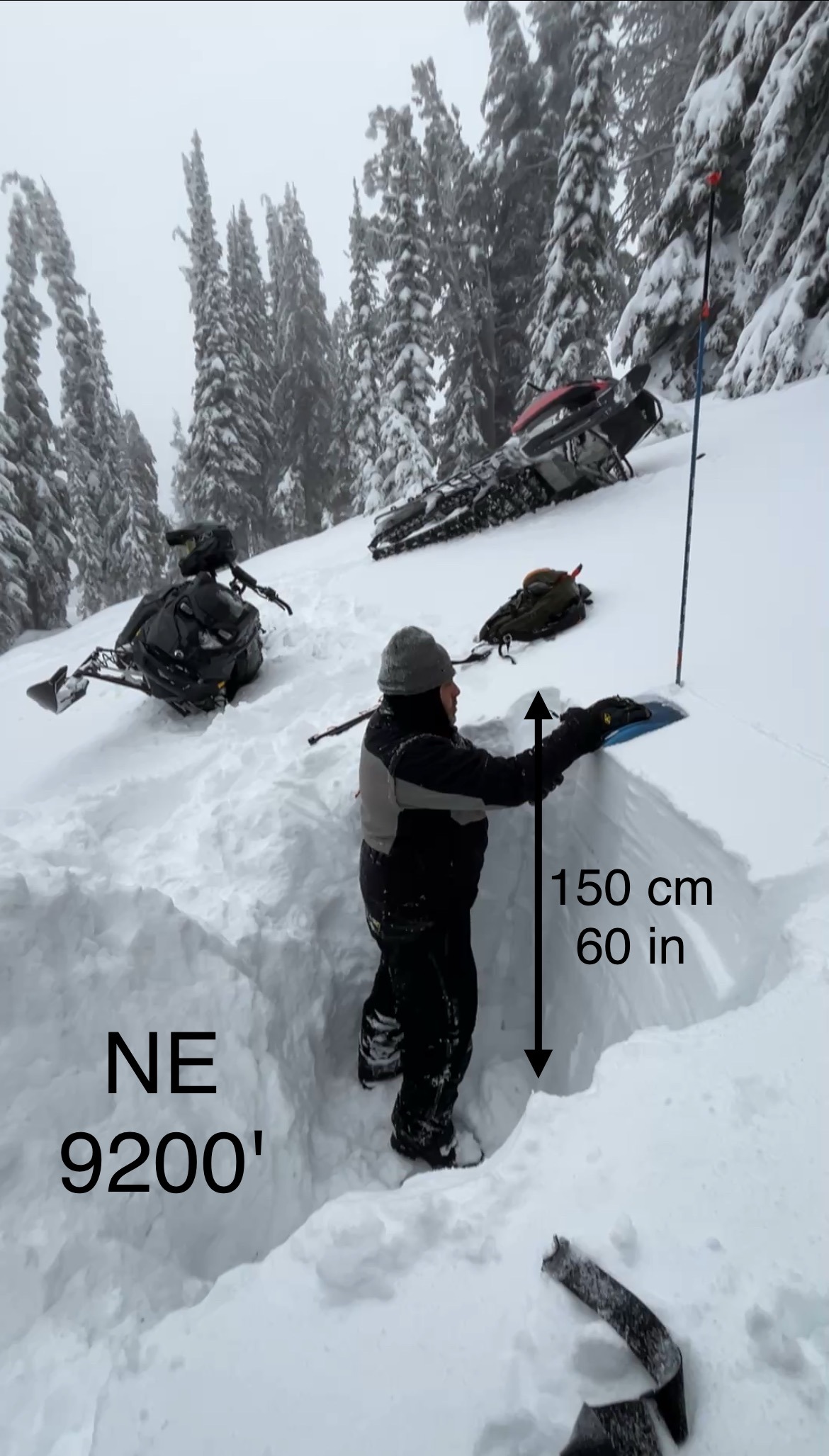
Snowpack depths range from: 6-8 inches 6500 ft -> 65 inches at 9000 ft.