
Quick report
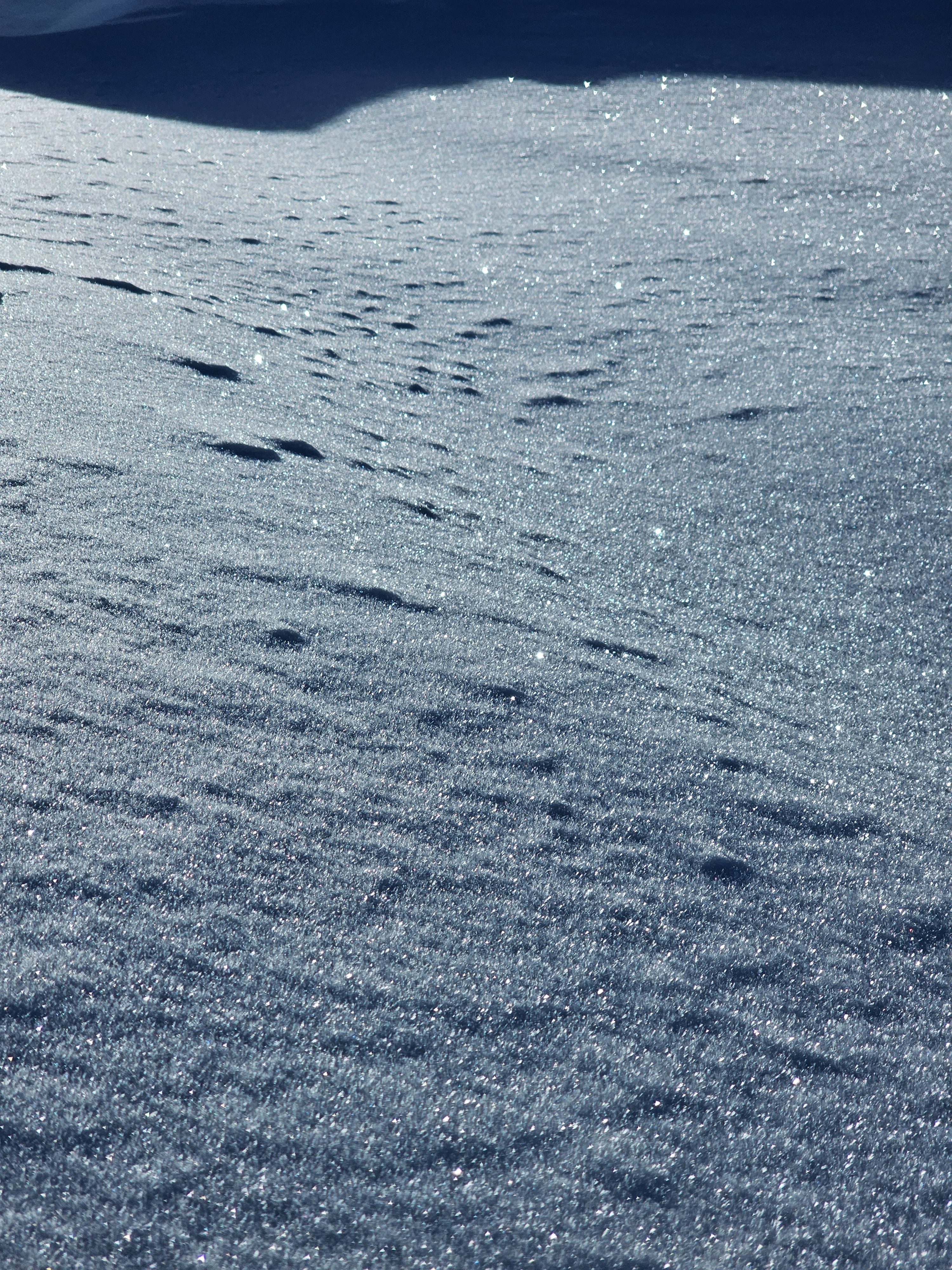
Traveled to Angle Mountain today. The recent snow has consolidated and shallow pow remains in sheltered areas. South facing slopes took on sun and will have an unpleasant crust tomorrow. Cold northerly slopes are starting to facet, maintaining good "loud pow" riding. conditions.
While some areas are starting to become deep and stable, areas with weak snow that could produce an avalanche still exist.
Weather
- Air Temp
- 25° in the AM, 33° in the afternoon at the car.
- Cloud Cover
- few
- Wind Loading
- previous
- Snow Avail For Transport
- small smounts
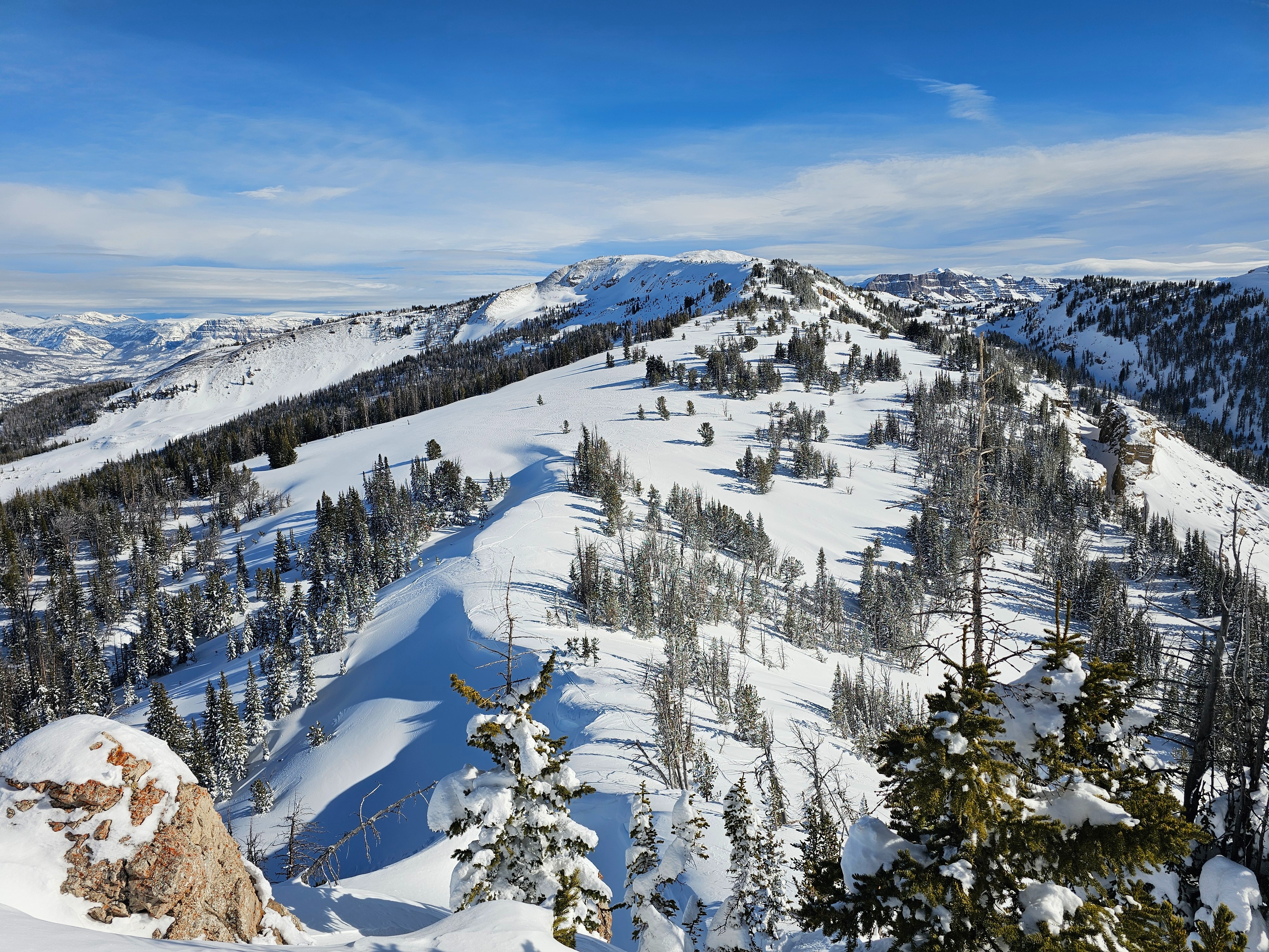
A beautiful high pressure day in the Togwotee area. Winds where calm with the occassional hint of a breeze from the west. Temperatures were warm up high.
Snowpack
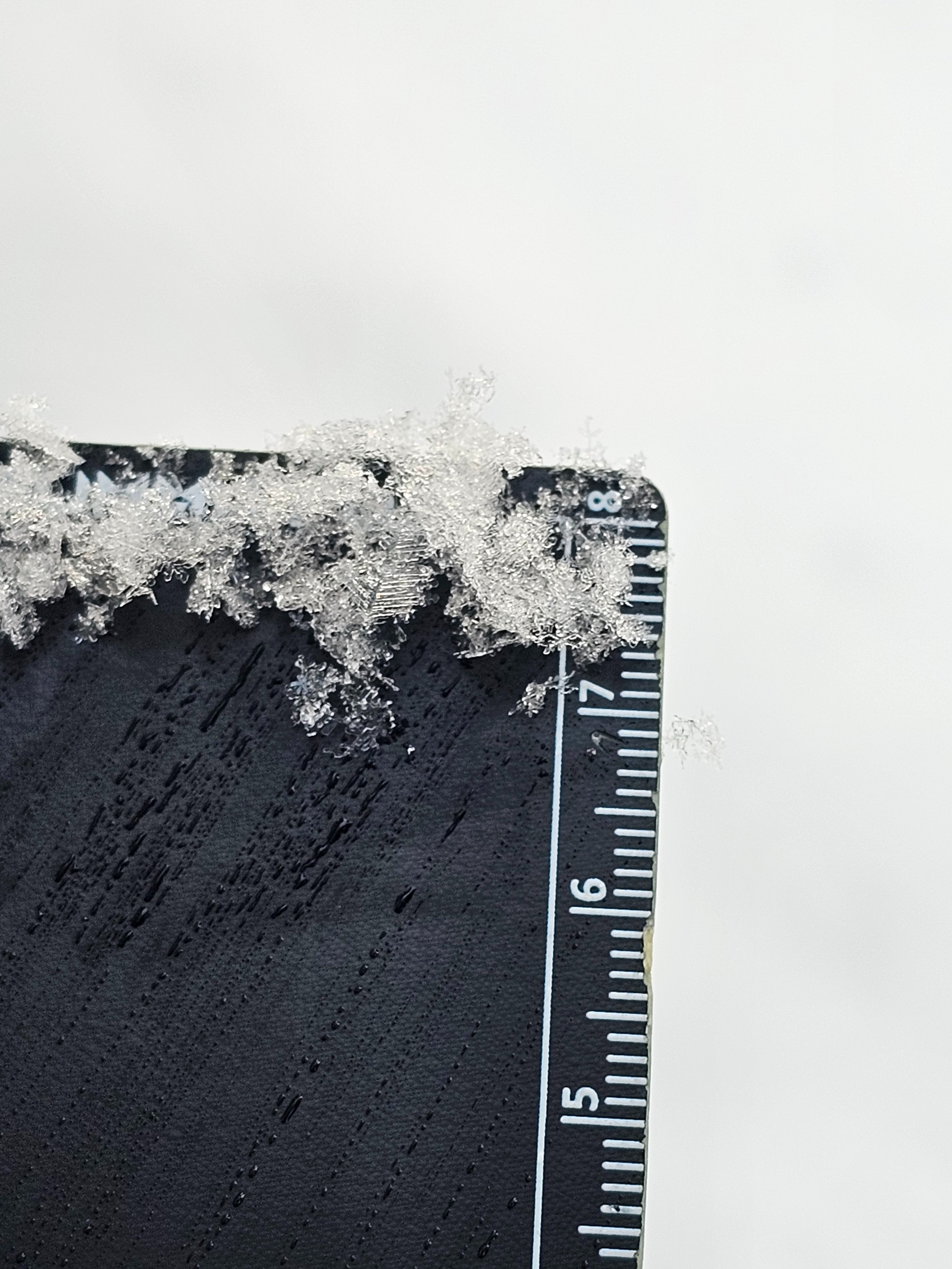
The snow surface is weakening, I noted near surface faceting and surface hoar developement on all aspects at upper elevations, including on ridgelines. That being said, solar aspects were starting to get cooked by the sun and disrupting this process.
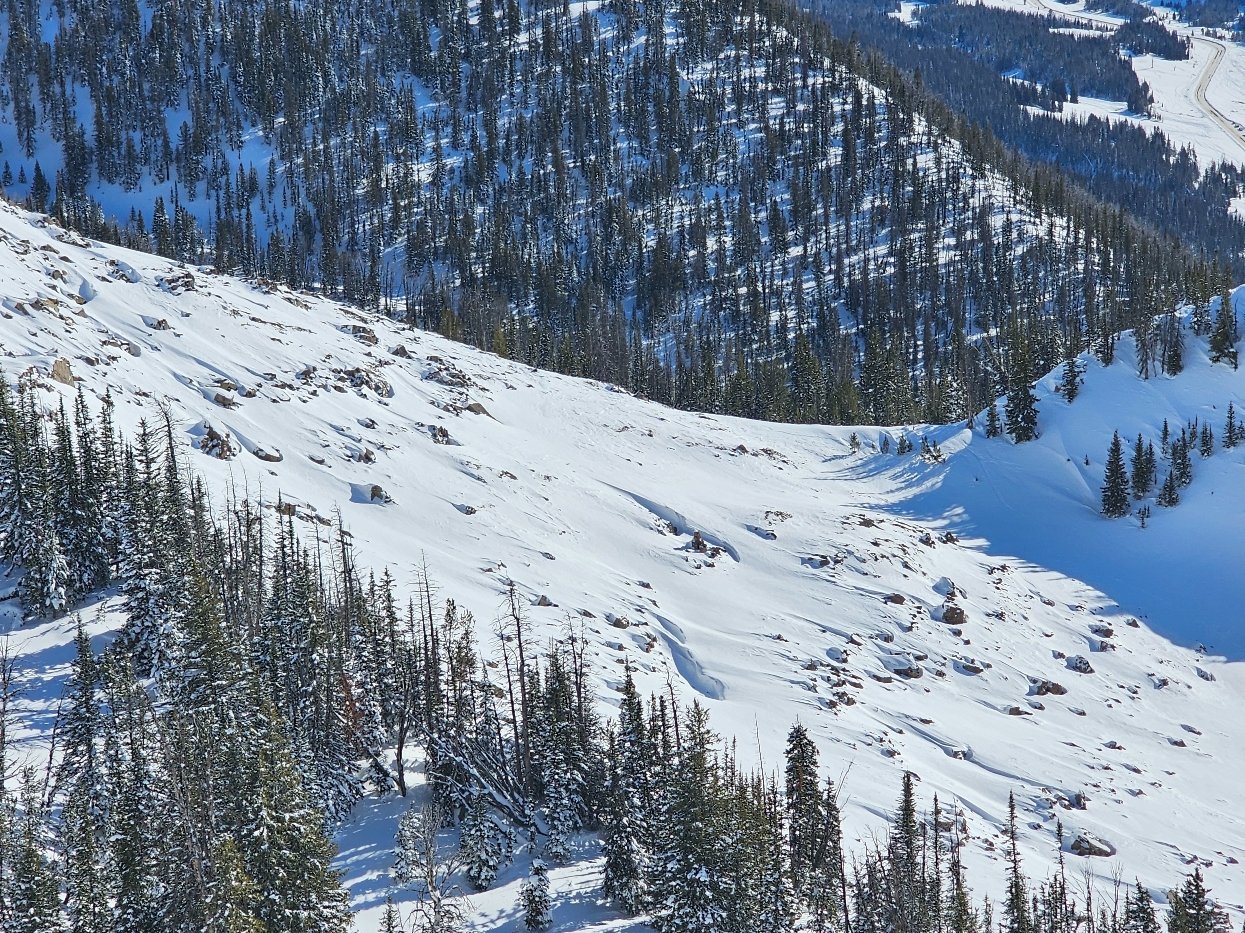
High elevation areas that have been leeward and orographically favored have a deeper snowpack (greater than 130cm), but shallow areas still exist in the upper elevation band.
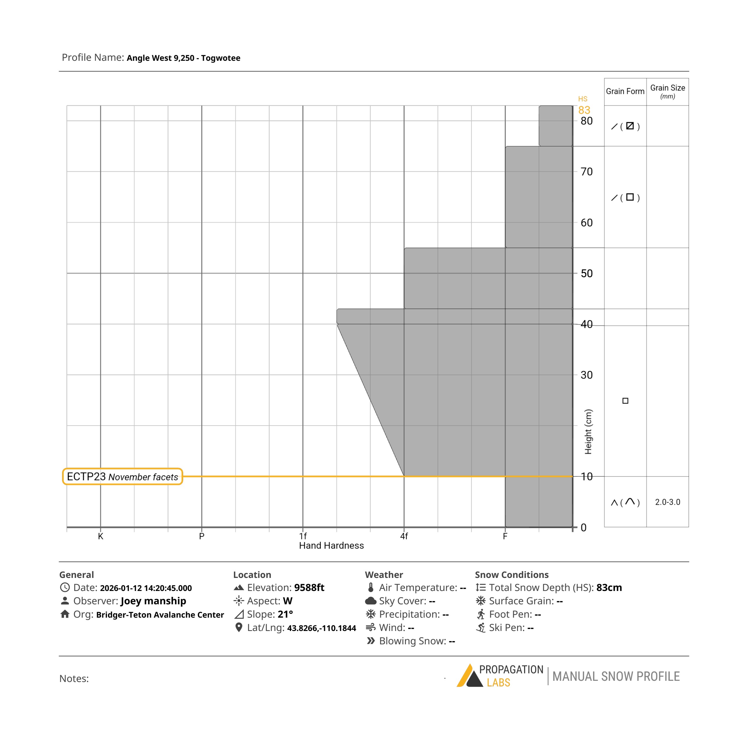
I dug in a west facing meadow, that was sheltered from the wind, but still open. I found a height of snow of 83cm. The entire snowpack is dry and most layers have seen some amount of faceting, the most concerning snow sits at the bottom, there is 10-15cm of weak, developed depth hoar. I got and ECTP23 in two extended column tests, showing that this weak layer still has the potential to produce avalanches in the right terrain.
As we move into high pressure, I would continue to be wary of this weak snow at the ground. Very steep, convex areas, that are relatively shallow (snow depth of less than ~3 feet or 1 meter), and areas that have shallow parts from wind affect will be most suspect.