
Quick report
We traveled back to The Hemlocks today to get a baseline on the snowpack before (hopefully) a change in pattern tonight.
No surprises here, but the snowpack is still very thin, and the structure remains incredibly weak.
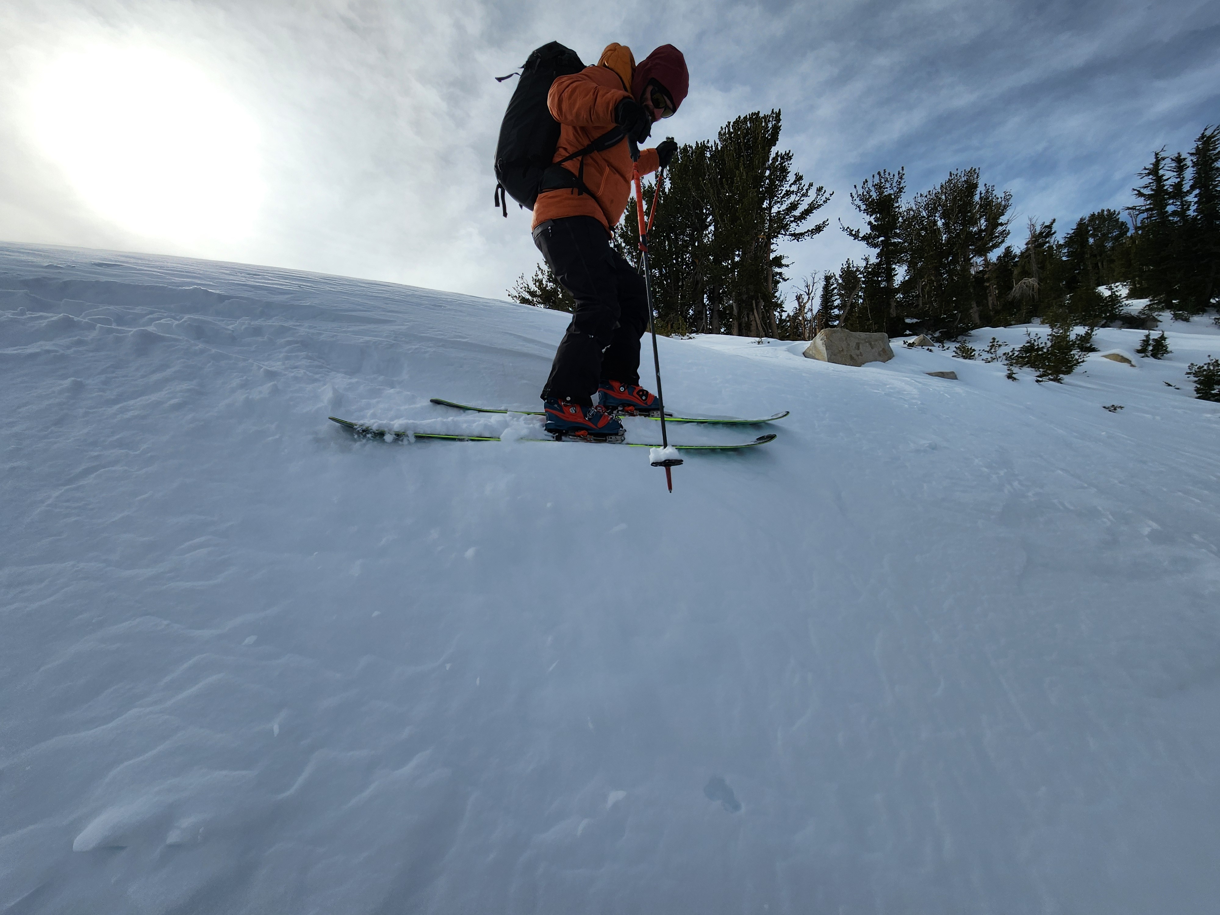
Despite the very strong winds out of the southwest today, we observed very little blowing snow or consequential deposition. At most, we observed some small drifts and uneven surfaces.
Weather
- Air Temp
- 26.5
- Cloud Cover
- broken
- Wind Loading
- light
- Snow Avail For Transport
- small smounts
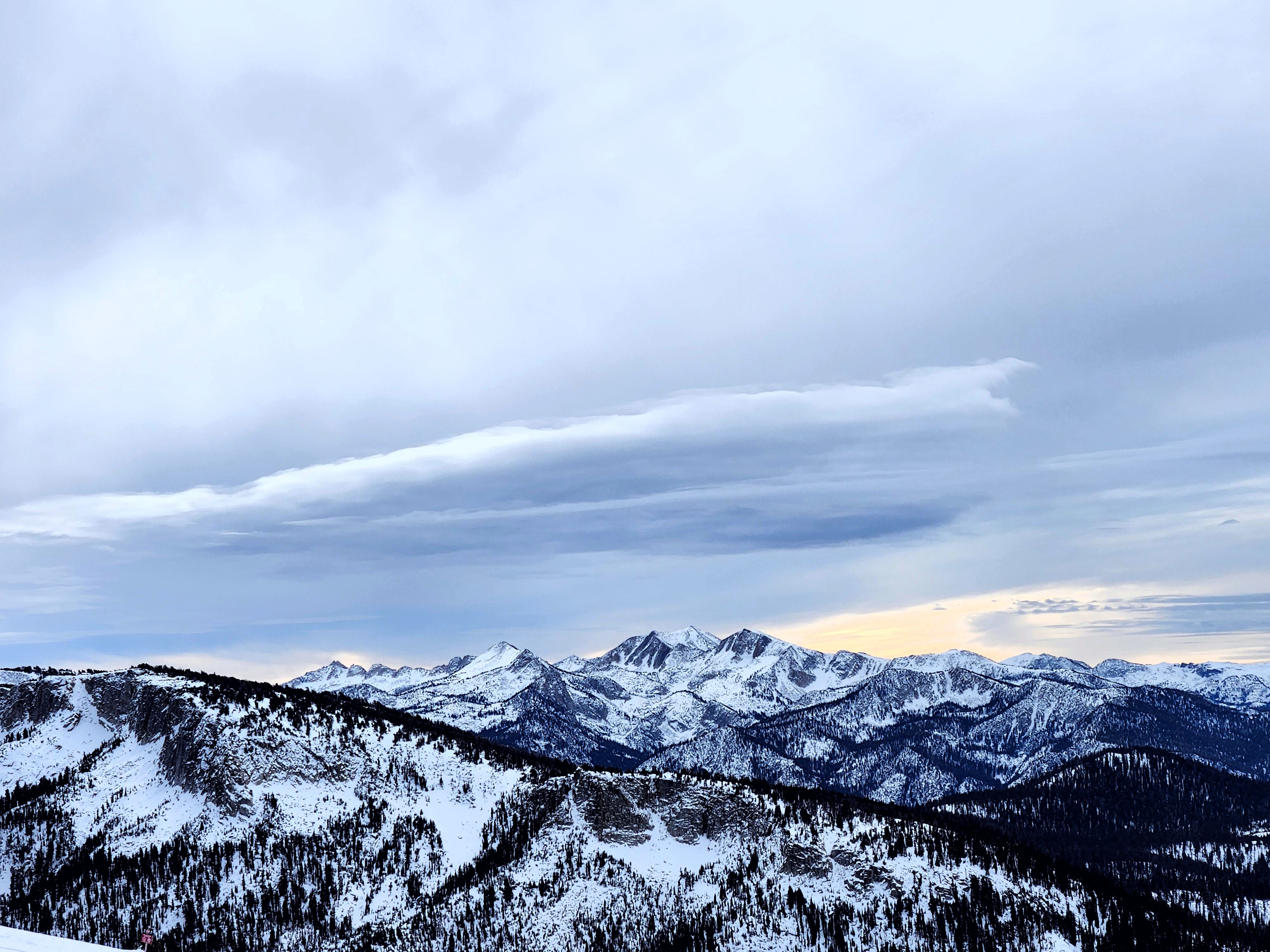
Mostly clooudy skies becoming partly cloudy this afternoon. Strong winds throughout the day out of the southwest with gusts over 50 mph at higher elevations.
Snowpack
Over the last week or so, the upper snowpack has seen quite a bit of faceting.
Stability tests highlighted the depth hoar as our layer of concern, and we saw propagation in all but one of our tests conducted today. (see pit for more details.)
In addition to the standard test, we conducted two modified tests by adding 10 cm of sifted snow to the top of our long column tests. We waited 30 minutes to allow the artificial slab to sinter and consolidate into a 4-Finger to 1-Finger hard layer. The goal here was to understand how an additional load may affect stability with a more active weather pattern on the horizon. With the added artificial cohesive slab, we saw decreased test scores, suggesting that our current structure may not react well to additional loading.
ECT16 breaking on basal facets, Modified ECT1 breaking on the “new”/old interface
PST 40/100 (SF), Modified PST35/100 (END)