
Quick report
- Collapsing
- isolated
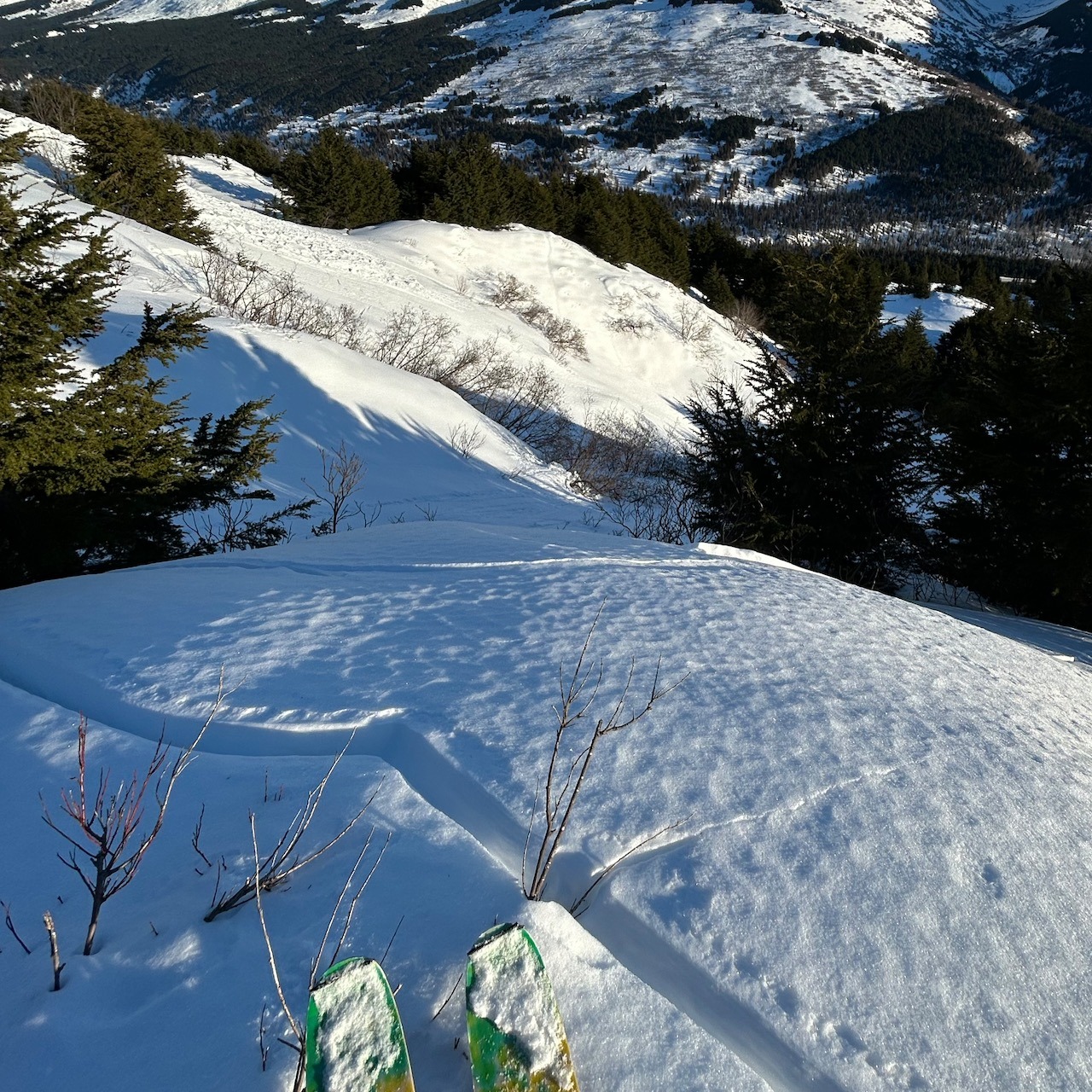
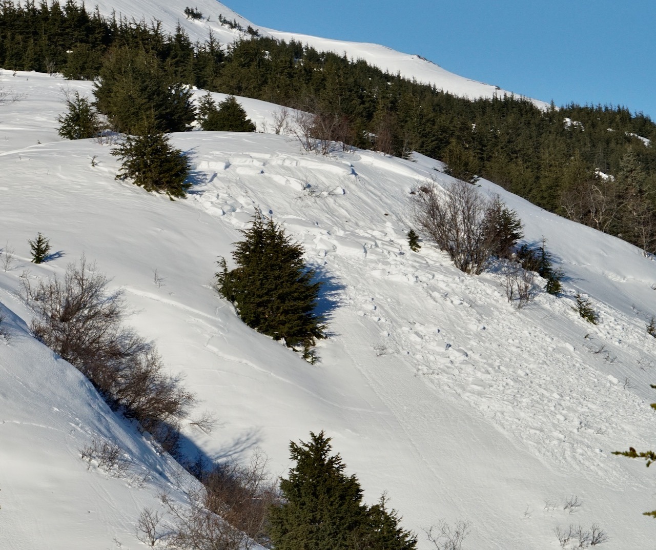
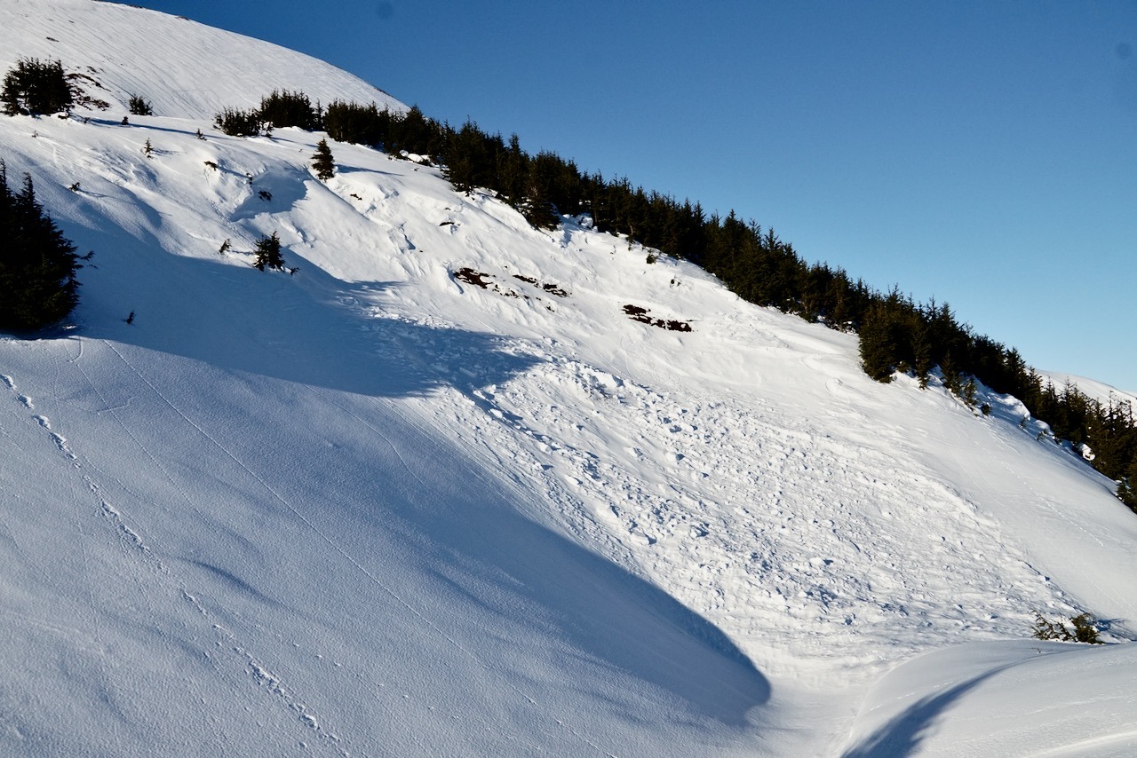
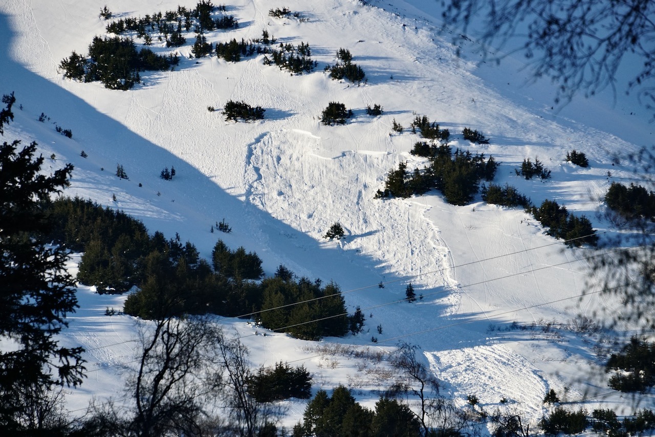
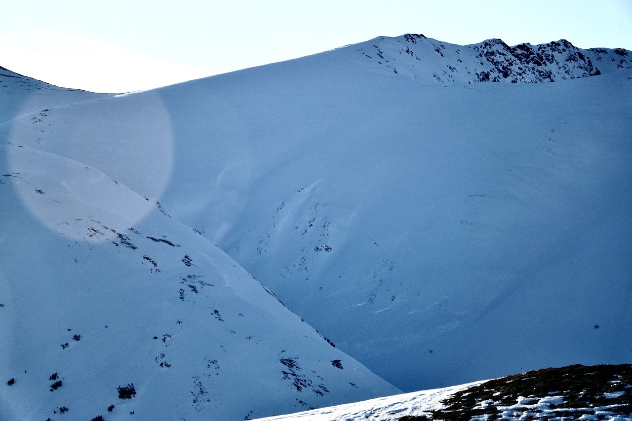
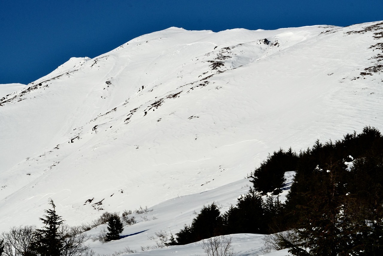
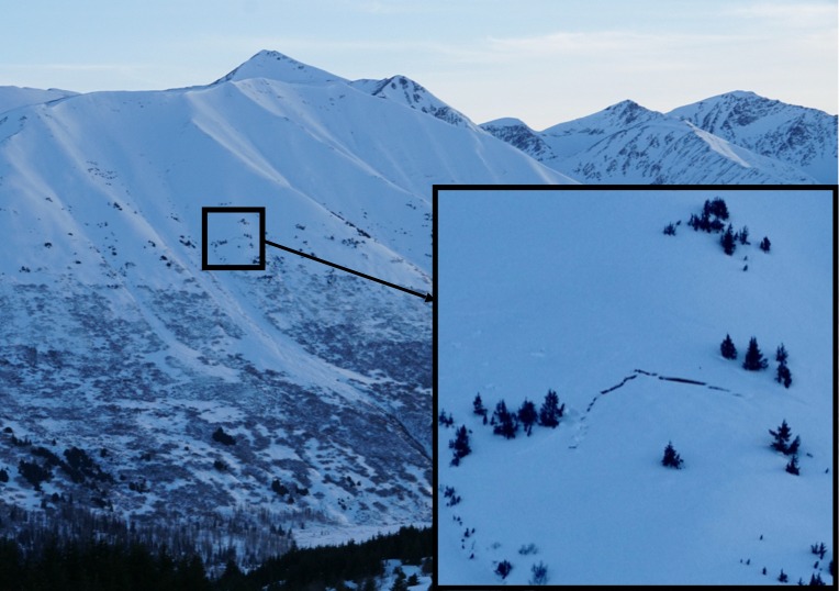
Numerous collapses above 2300', including a large one at 2500' that you could hear traveling down slope for a couple of hundred feet, and one that occurred while skiing back down over our skin track. Evidence of many large to very large slab avalanches, as previously reported from the mid-January atmospheric river storm (AR avy cycle), is widespread throughout the region. Multiple crowns were observed both at the treeline and in the alpine. While the bulk of these avalanches are roughly a week old, the collapses we experienced today, large cracks (previously triggered) on low-angle slopes, and our constant travel tests, like ski pole probing (finding really weak snow below a stiffer slab), kept us on guard and off steeper slopes today.
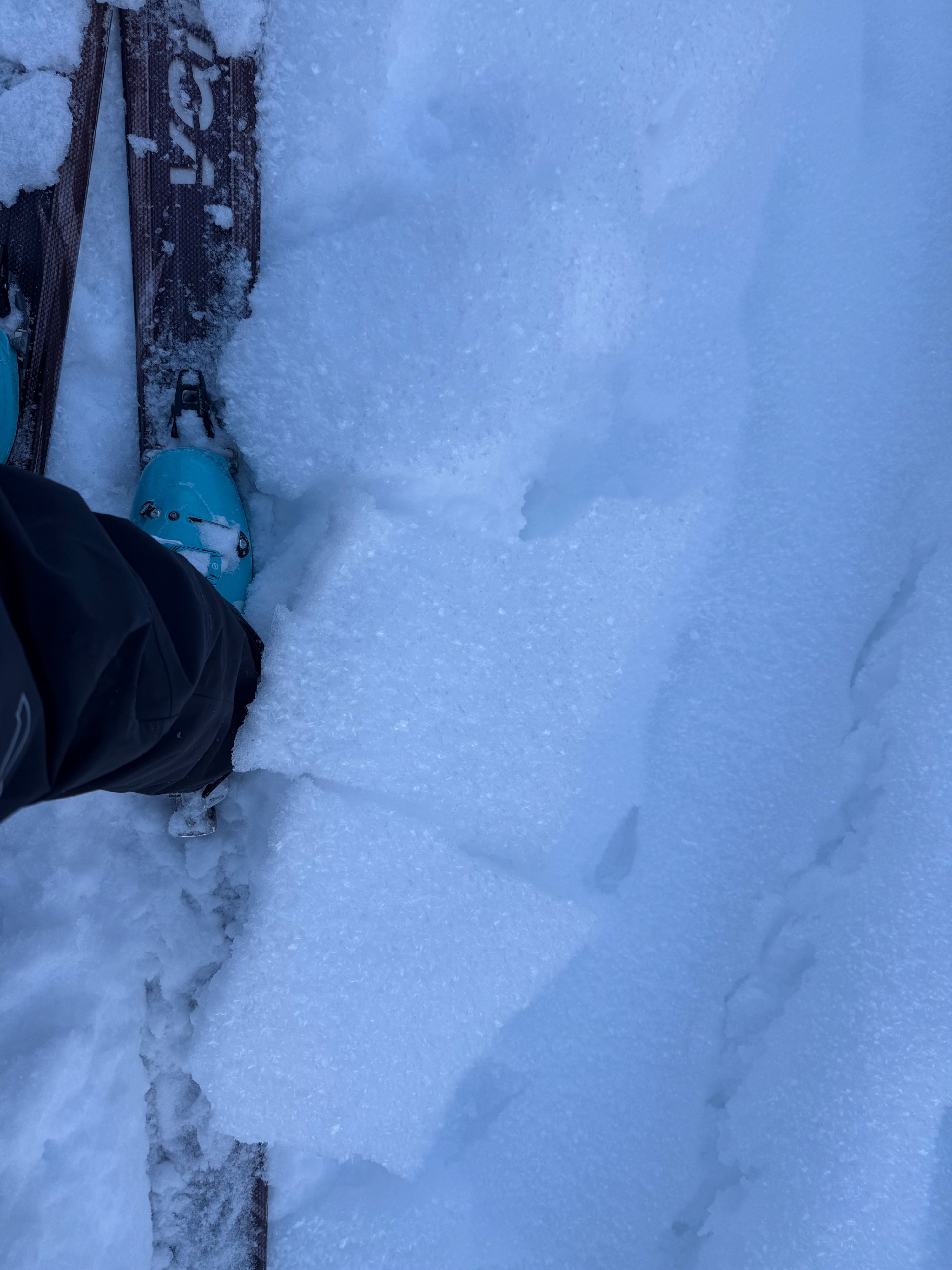
Snow Surface Inventory: Parking lot (1200') to 1700' - A thin but stout rain crust was breakable under skis, making for tough turns. This crust had 6-12 mm surface hoar on it in clearings (largest at lower elevations).
1700' - 2100' - Smaller (4-8 mm) needle surface hoar was present in clearings, sitting on a thin layer of near-surface facets over a 1-2 cm thick fragile melt freeze crust. While the crust was thicker initially than the crust at lower elevations, it was much more brittle and crumbly, and ski quality improved greatly. This crust eventually thinned with elevation, and transitioned to stiffer wind affected snow with soft near-surface faceted snow on top.
2100 - 2700' - a very thin, porous, and fragile crust was present above 1-3" of soft snow, which also appeared to have been wind affected last weekend. This crust included some frozen water drops surrounded by near-surface facets; we think this structure was the result of high winds and a very brief period of rain reaching higher elevations at the tail end of the mid-January atmospheric river storm. Some pockets of 3-6 mm surface hoar as well.
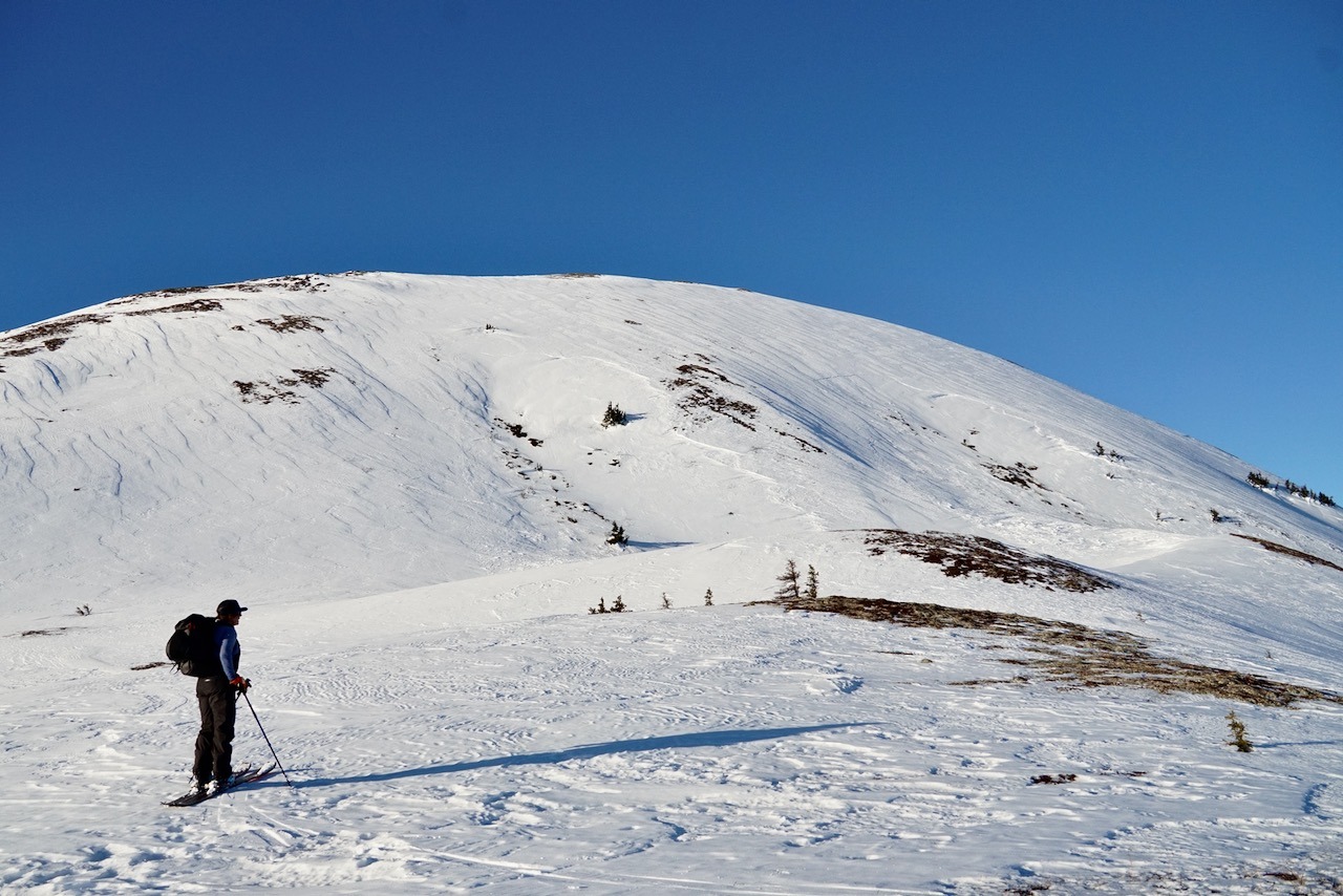
2700 - 2800' - A true multi-surface smorgasboard, including areas of 3-6 mm surface hoar, bare tundra, stout wind slab, and areas of softer snow (near surface facets) with ski penetration of 2-4".
Generally, a dry snow surface, though steeper sun-facing bumps/terrain features showed signs of solar warming today, with several centimeters of moist surface snow. On the steepest small slopes directly facing the sun, a wet snow surface capped this moist snow.
Weather
- Air Temp
- high 20s
- Cloud Cover
- few
- Snow Avail For Transport
- small smounts
Generally clear, calm, and temperatures inverted in the teens down low and approaching the 30s at our high point. Some approaching high clouds to the south by late afternoon.
Snowpack
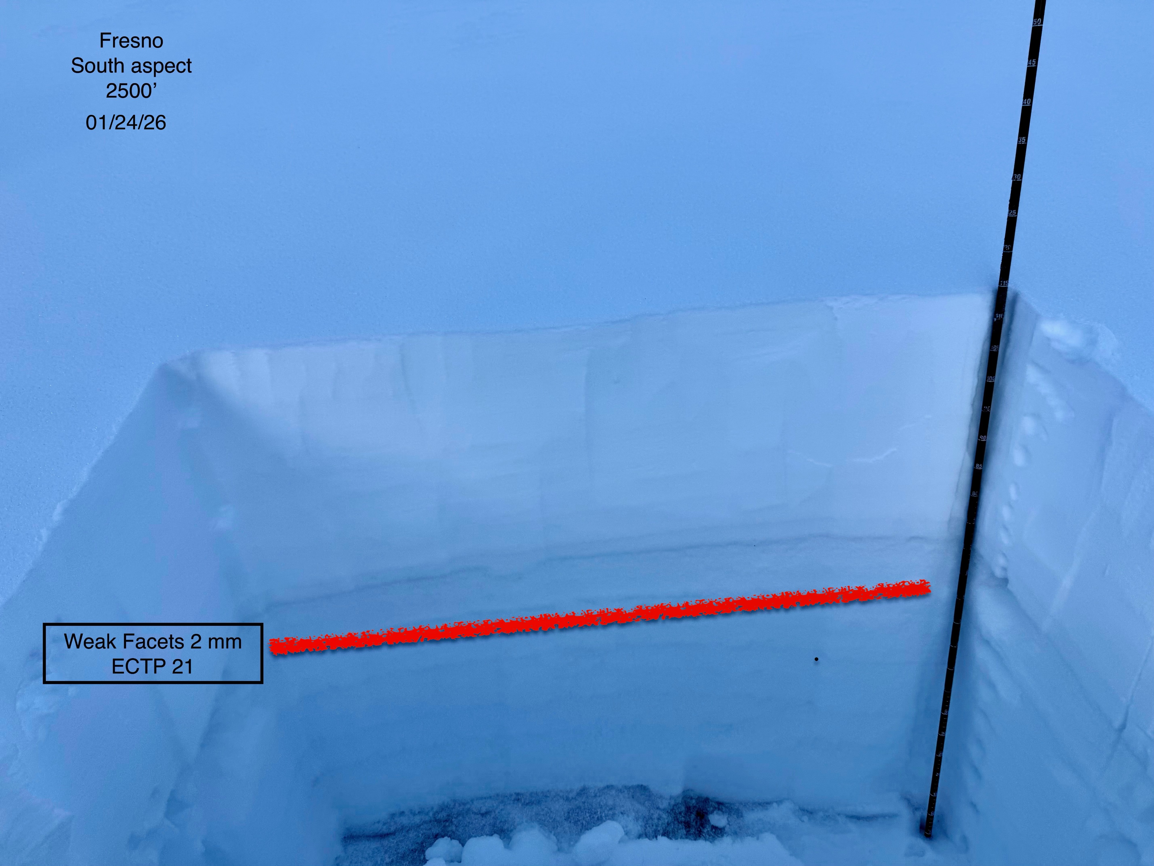
See the snow pit photo for snow structure in the vicinity of our largest collapse today, at 2500' on a south aspect. We had an unstable test result: ECTP 21 in a layer of well-developed 2 mm facets mid-snowpack, below a boot supportable slab of snow. Our test failed just under a slightly stiffer thin wind layer in the middle of two fist hard facets layers. Ski pole probing revealed very soft and thick layers of facets throughout the day, often feeling like pockets of air beneath crusts and/or slabs around 30 cm ( 1' )deep. Overall, the snowpack near the treeline seemed to average 1 meter (3') deep. Below 1700' probing and informally digging down revealed very weak snow at the ground.
Probing in the more wind affected snow above treeline, we found pencil hard snow over very weak snow at the ground as well.
We did a quick hand pit just above the avalanche at 2400' and found weak facets below a melt freeze crust and just under a meter of snow depth.