
Quick report
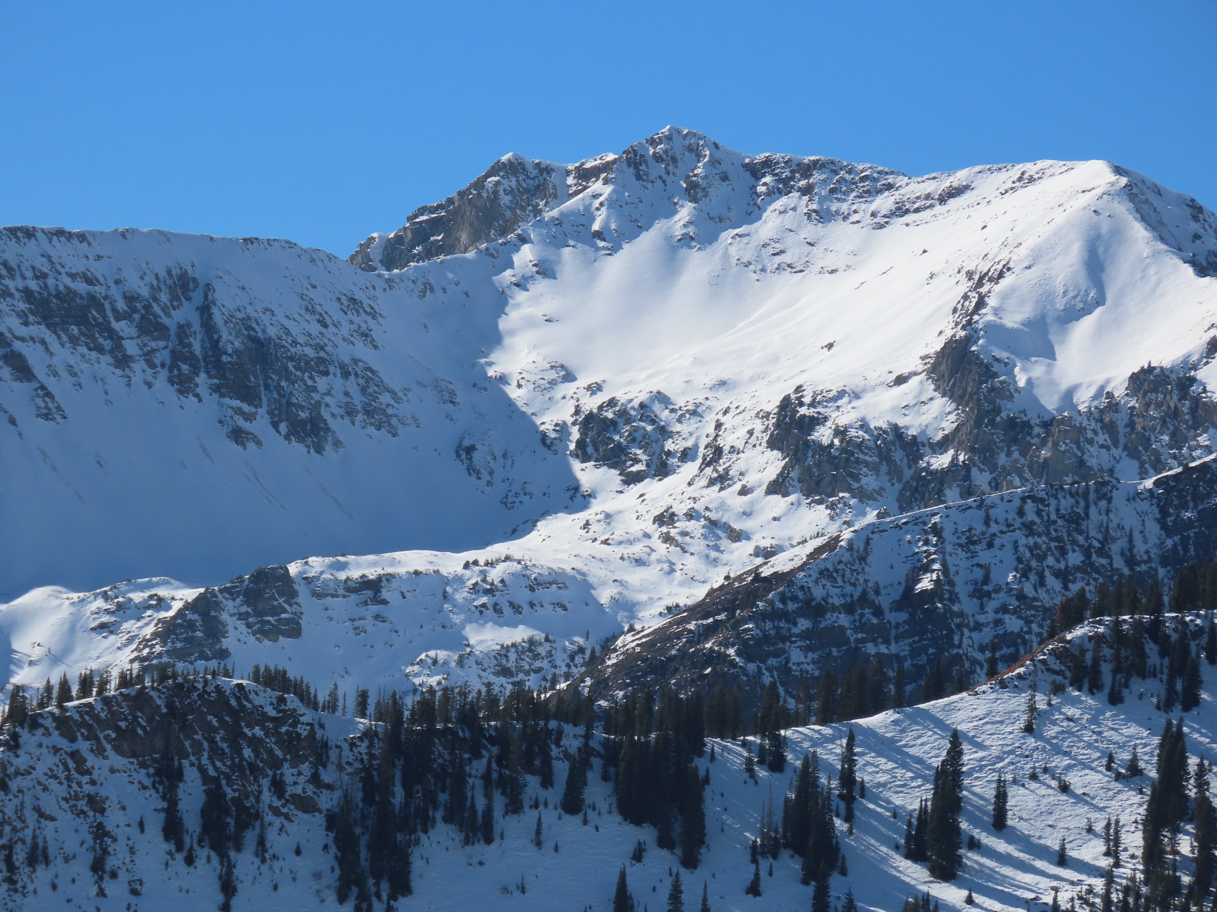
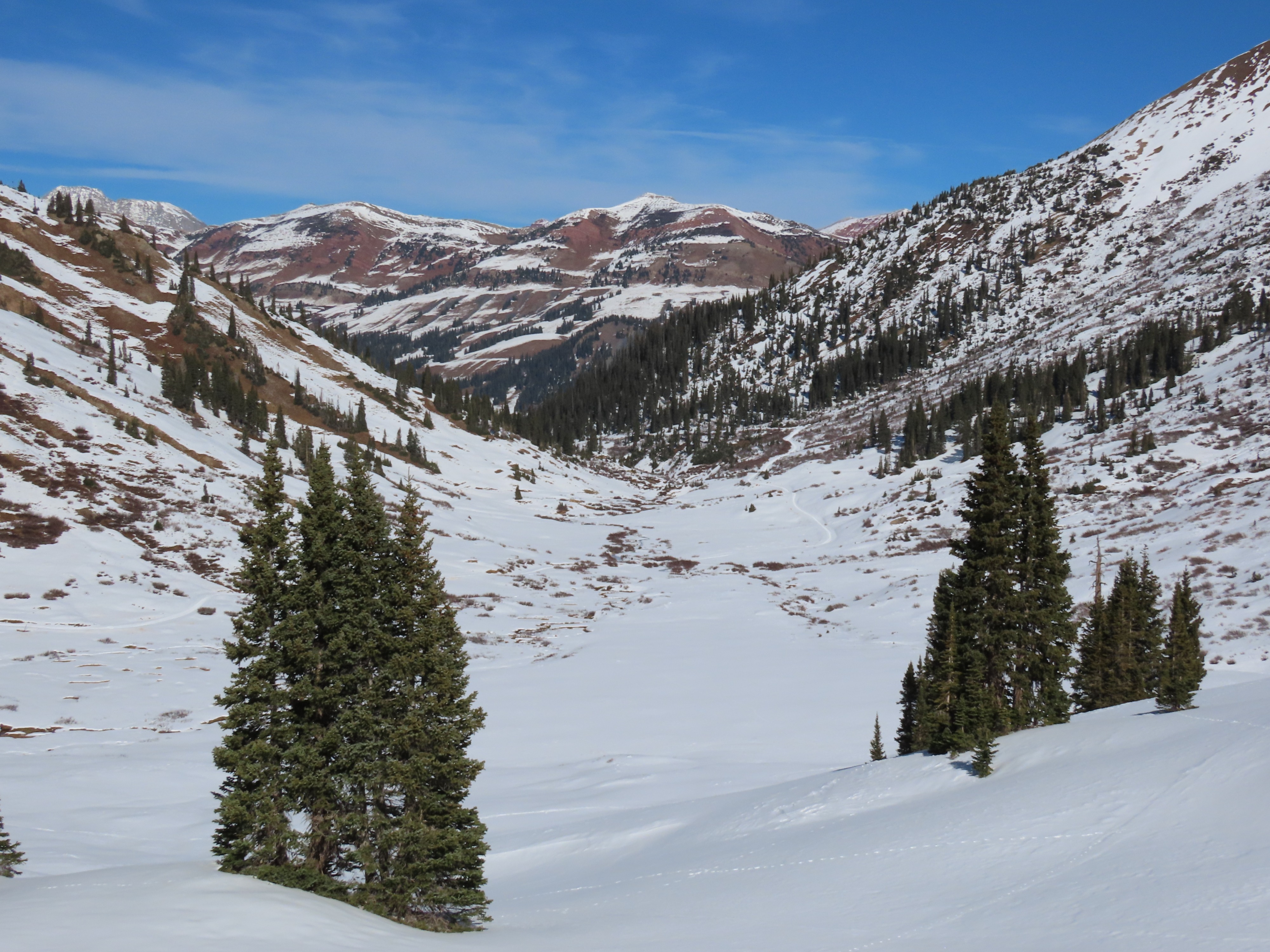
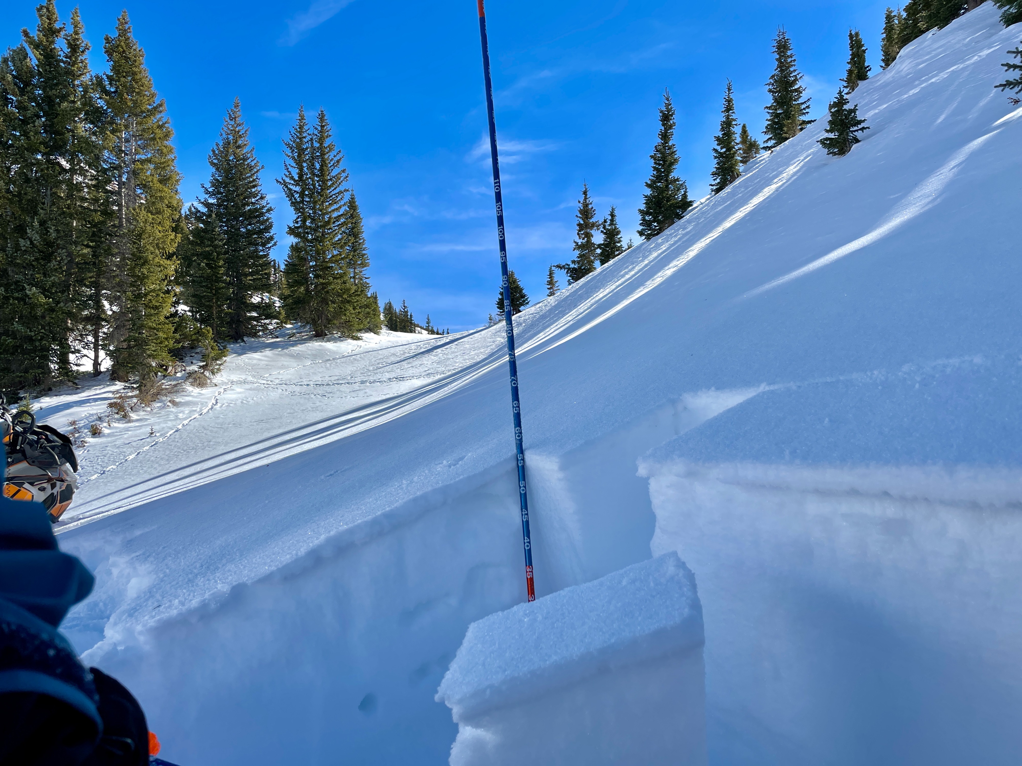
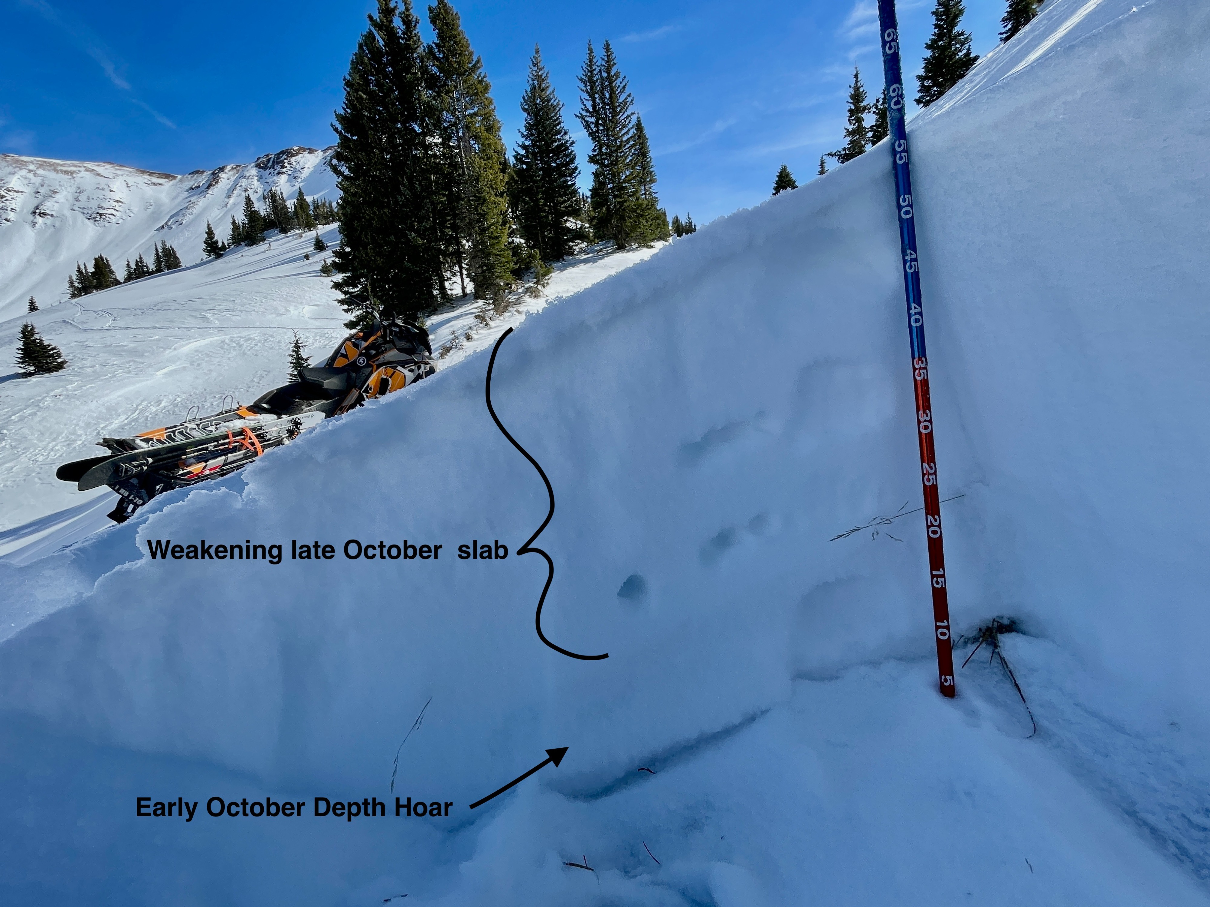
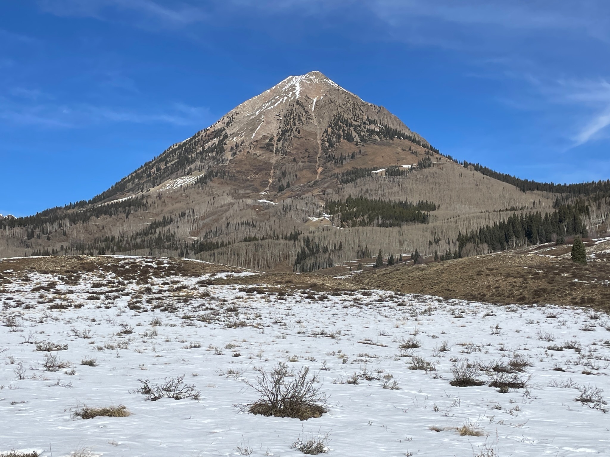
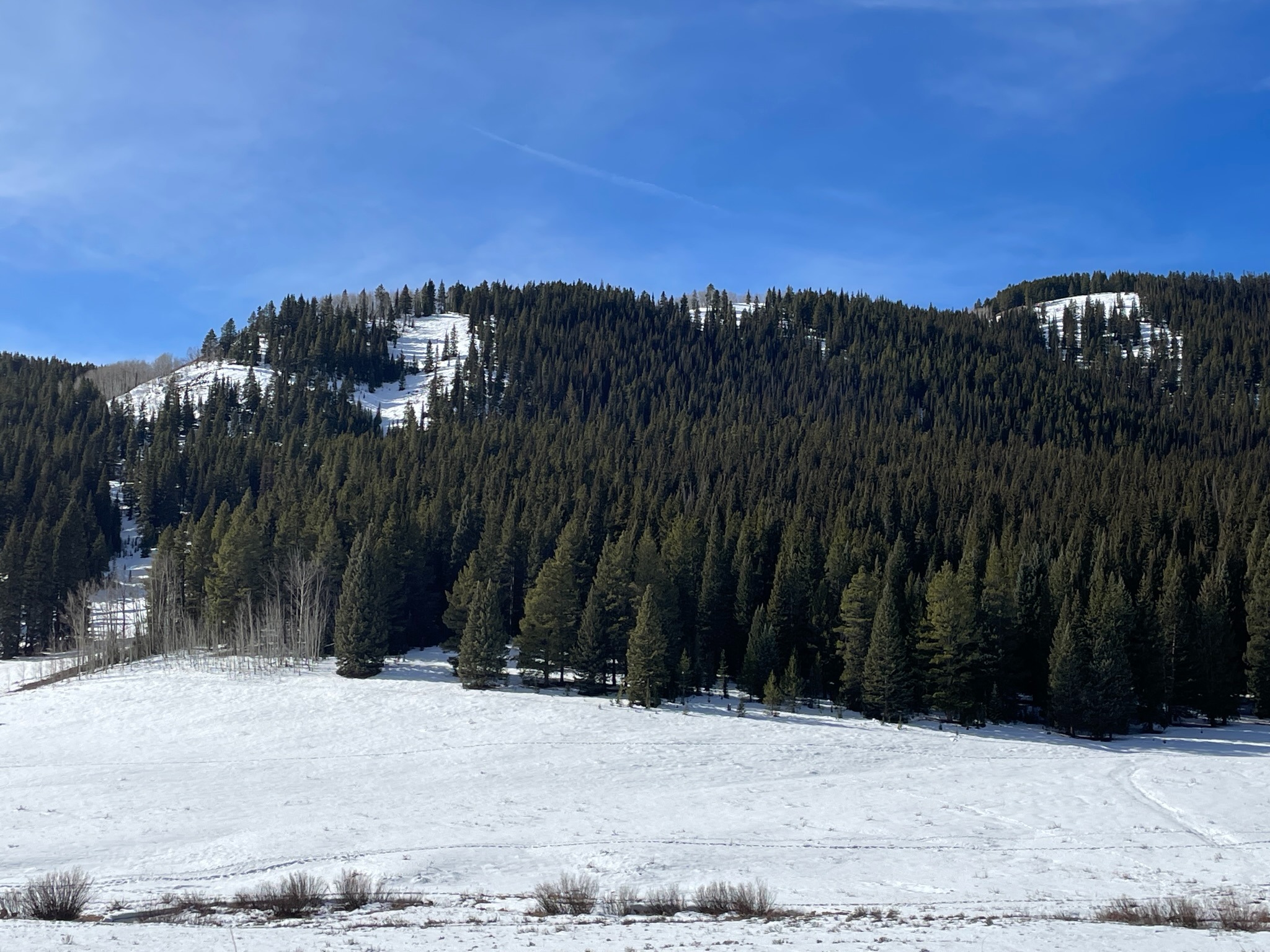
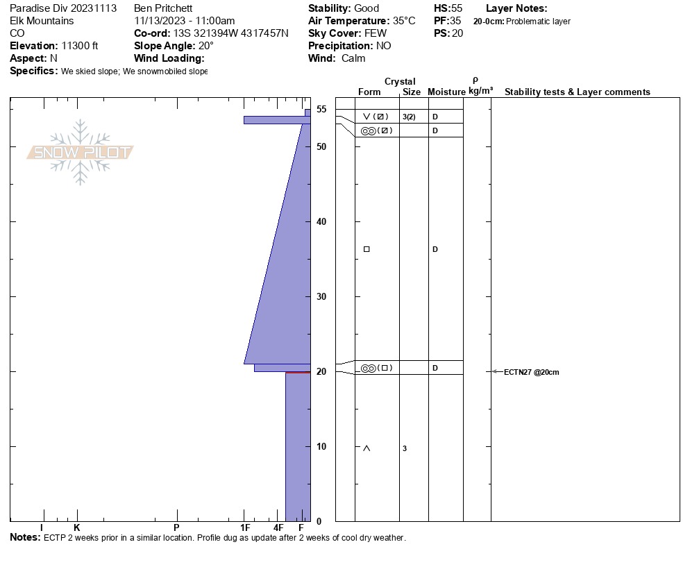
I found the weakest snow surfaces near treeline on northwest through north to northeast-facing slopes. Areas like this will not support much load if snowfall begins to stack up over the next week to ten days.
Weather
Warm with a gentle breeze.
Snowpack
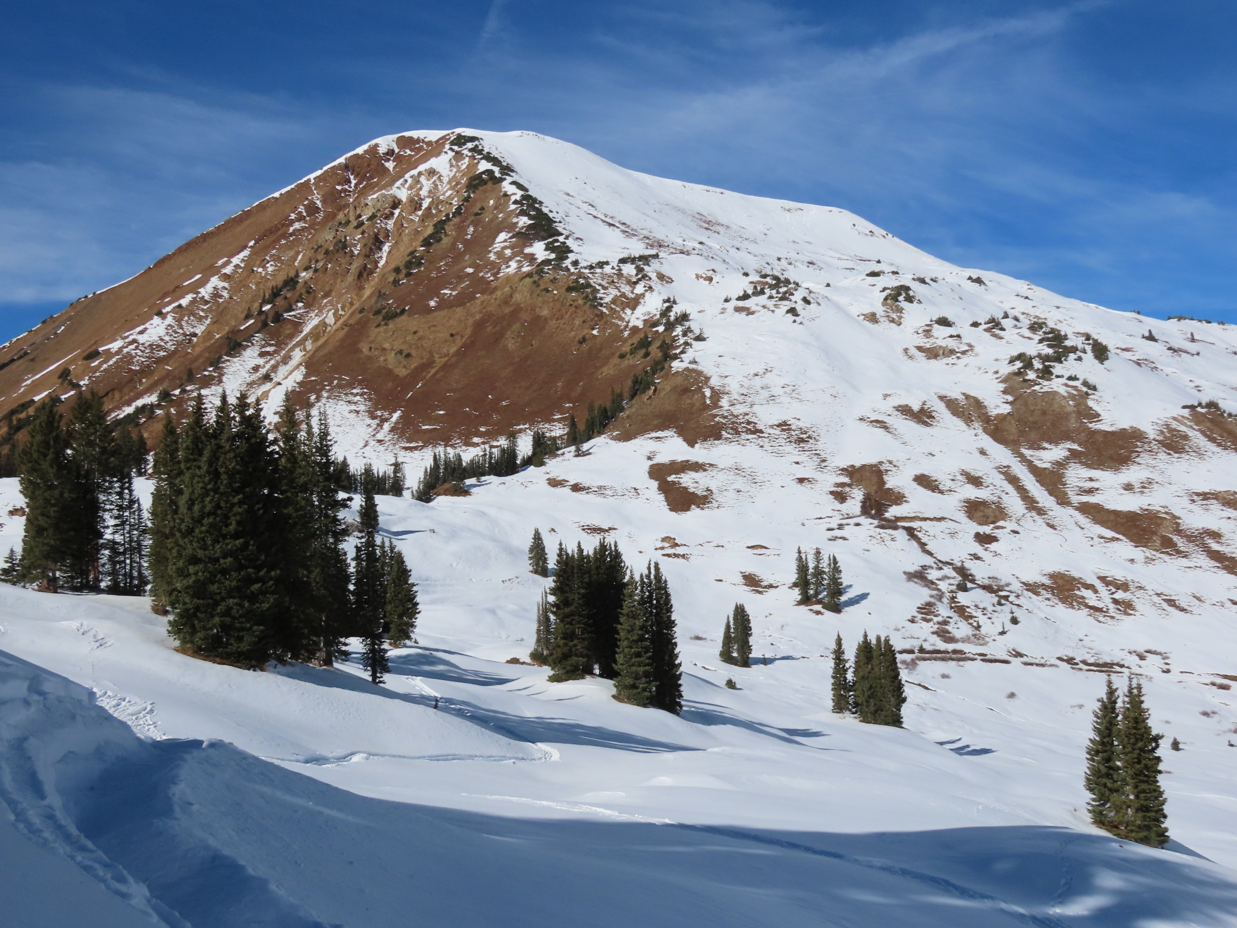
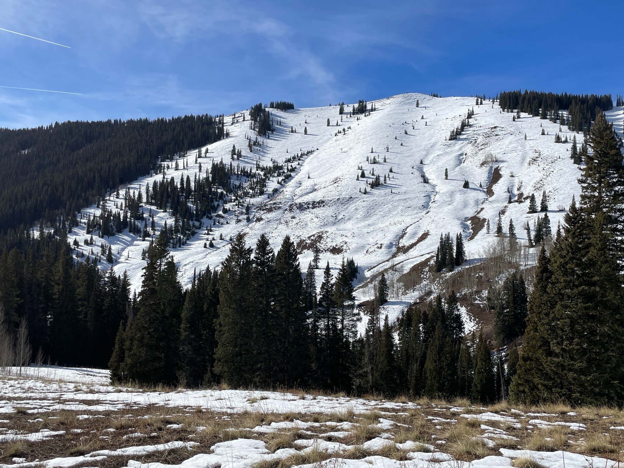
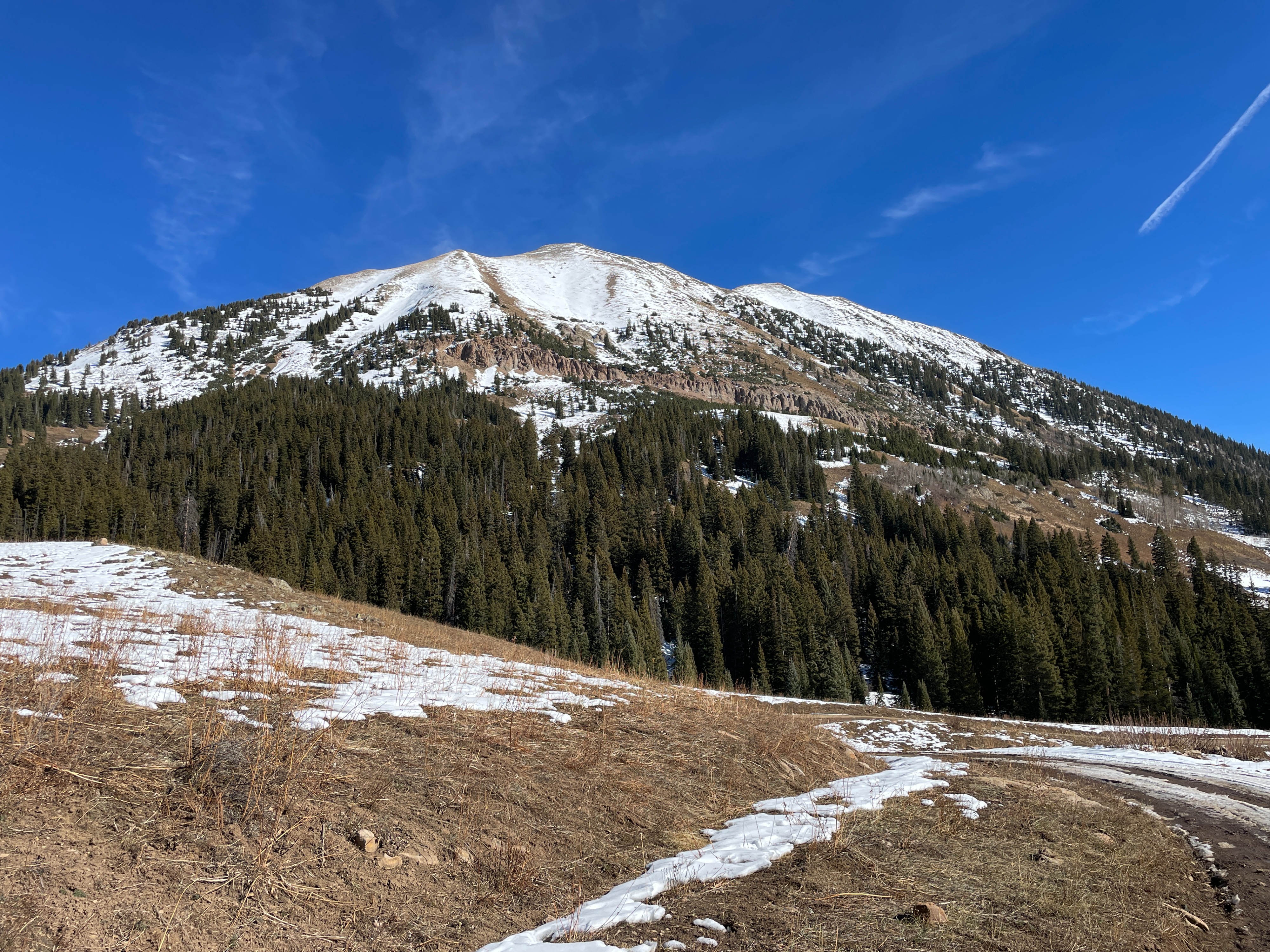
Northerly-facing slopes near treeline, or wind-sheltered spots above treeline will not hold much of a slab if snowfall ramps up next weekend. Southeast and west-facing slopes held wet snow, that will freeze into an icy mass. Snow-covered slopes on these aspects might work as a future bed surface, but they lack prominent weak layers up to around 12,000' (no hands-on observations from higher elevations) or maybe higher. South and southwest slopes are mostly melted out and post little concern in the next week to ten days.