
Quick report
- Cracking
- isolated
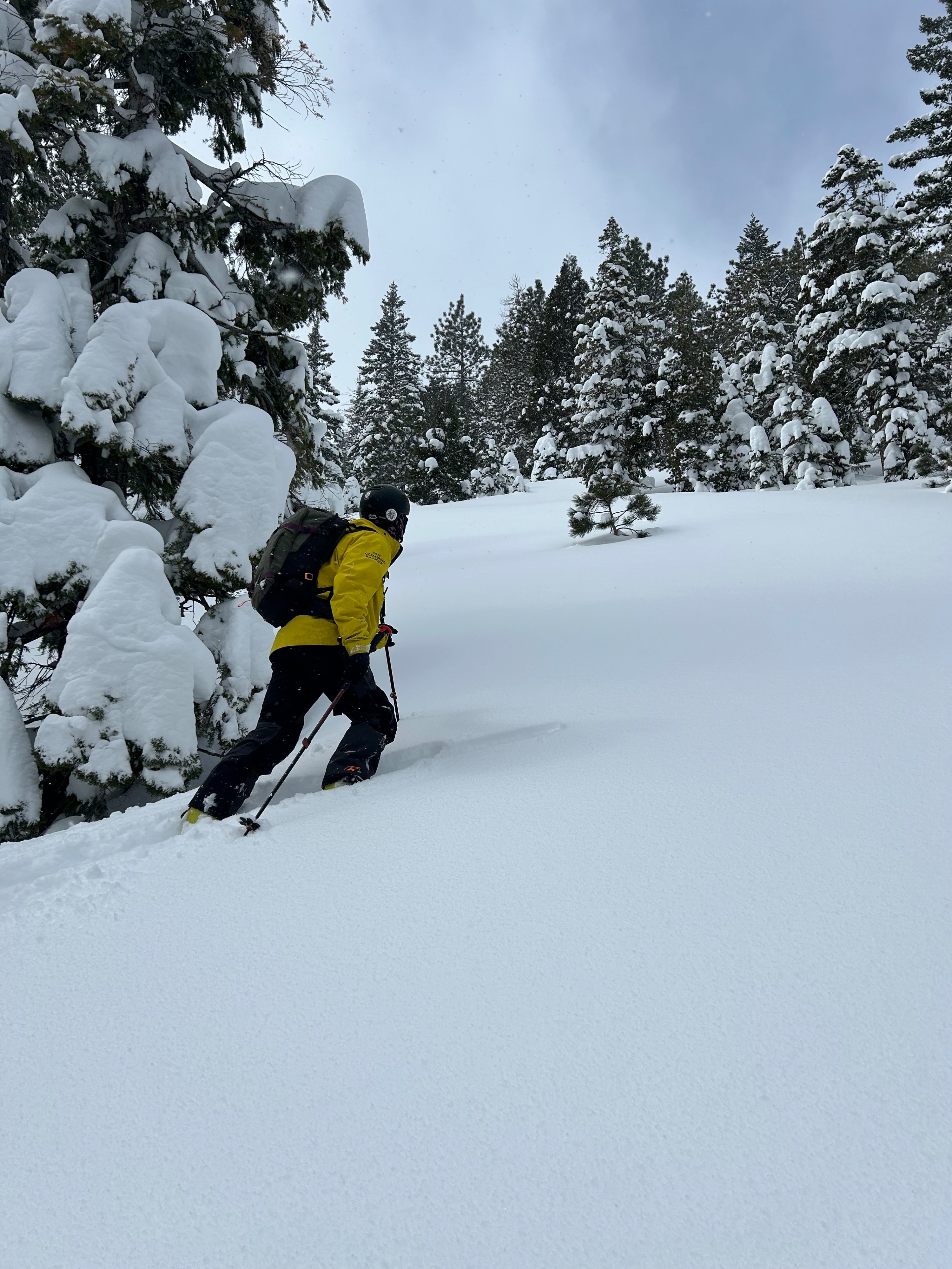
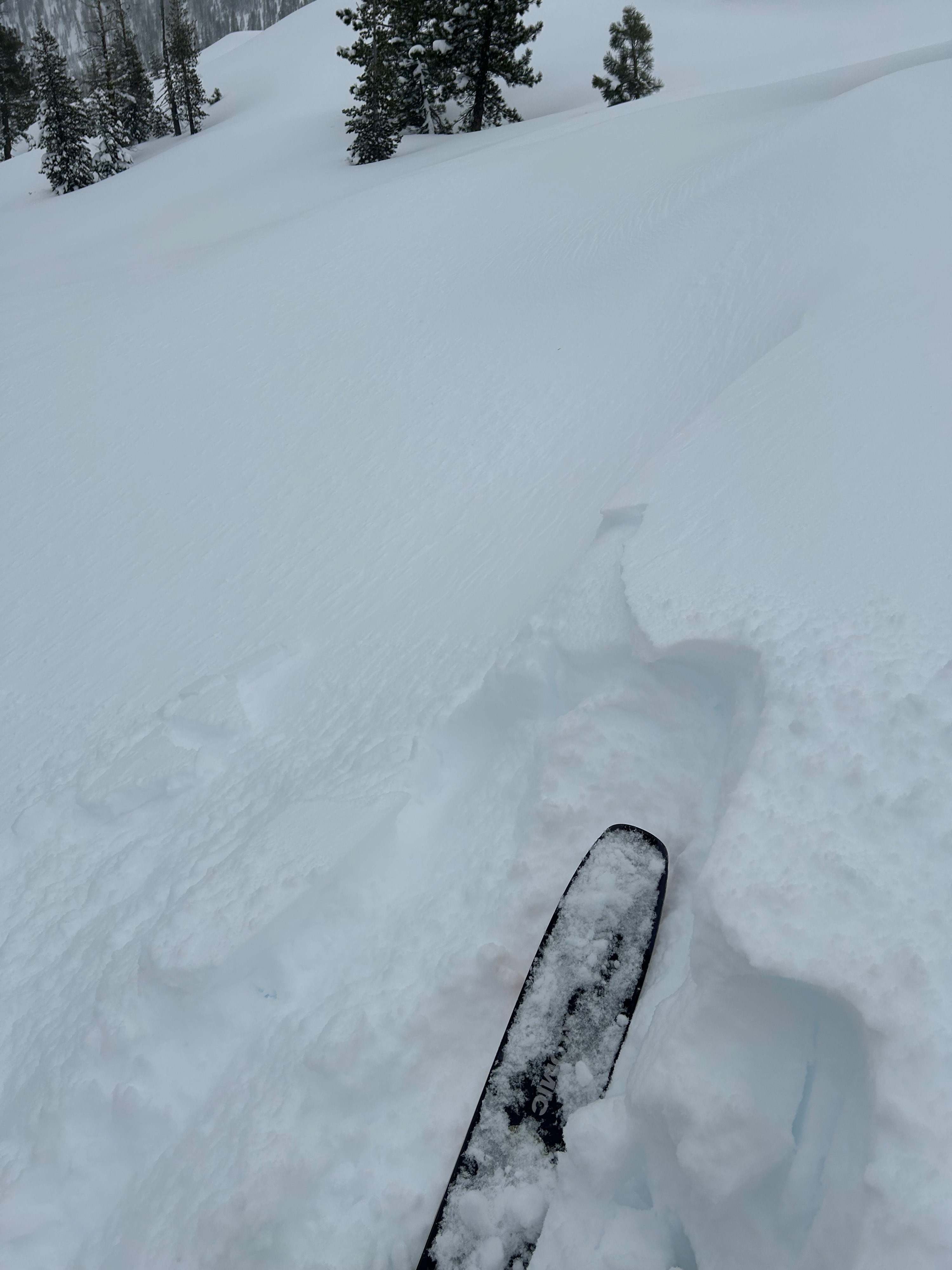
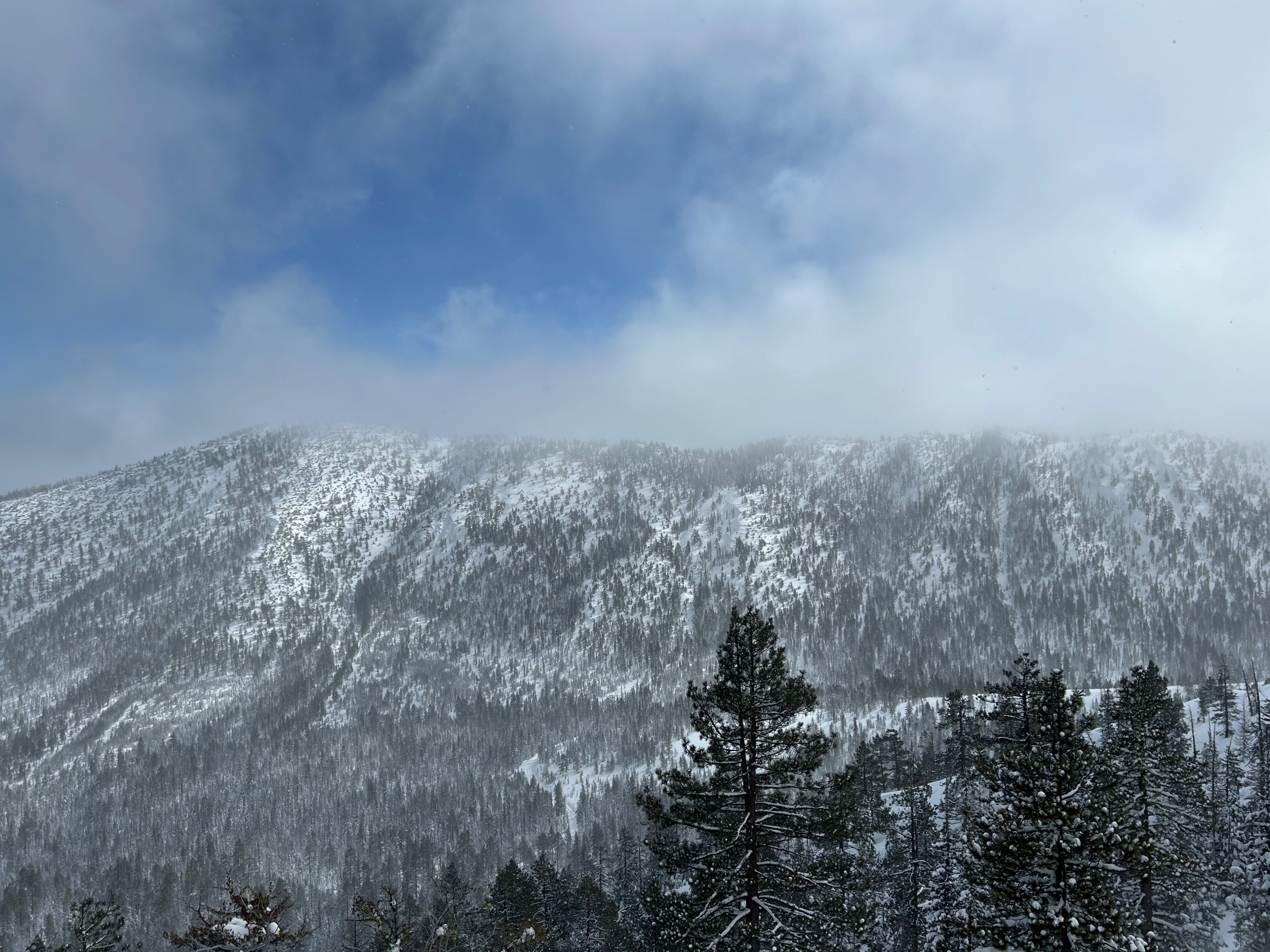
Today the Eddy Mountains provided a very wintry environment. Signs of instability were far and few. Small cracking was observed in freshly formed wind lips at 6,500 feet on an east-facing ridge. The surrounding terrain held no visible clues of recent avalanche activity. A party riding on a northwest aspect reported moderate amounts of active snow transport along ridgelines and cross loading in exposed gully features. Snow beneath cornices was said to be unreactive. At 1200 hours, the storm front arrived, ushering in stronger wind speeds, decreased visibility, and flurries of new snow.
Small cracking was observed within freshly formed wind lips.Weather
- Air Temp
- 30
- Cloud Cover
- overcast
- Wind Loading
- light
- Recent Snowfall
- 0
- Snow Avail For Transport
- large amounts
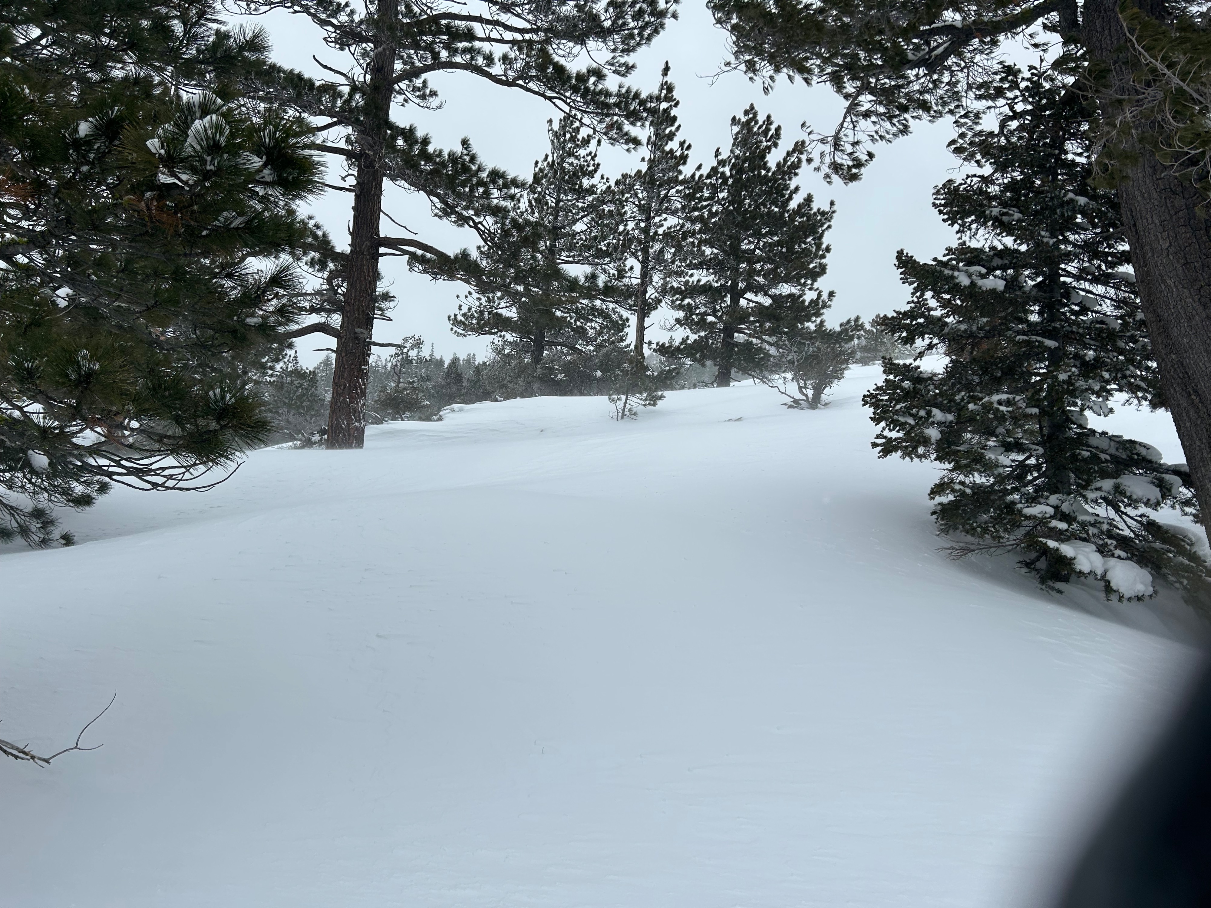
The day was met with below freezing temperatures and mostly cloudy skies. As the day built, westerly winds increased, blowing at light to moderate speed with strong gusts. Snow flurries become more consistent and cloud cover increased. Freezing temperatures persisted throughout the day.
Snowpack
Below and near treeline in sheltered areas, fluffy unconsolidated dry surface snow was experienced in bountiful amounts, with no reactive storm interfaces observed. Near treeline in wind exposed areas, wind textured surfaces were present and soft slab characteristics could be felt. On steep, convex test slopes, initiating large shooting cracks or the release of a cohesive slab was unachievable. Moving forward, as more snow and wind are added to the equation, slab properties and sensitivities will likely grow more critical.
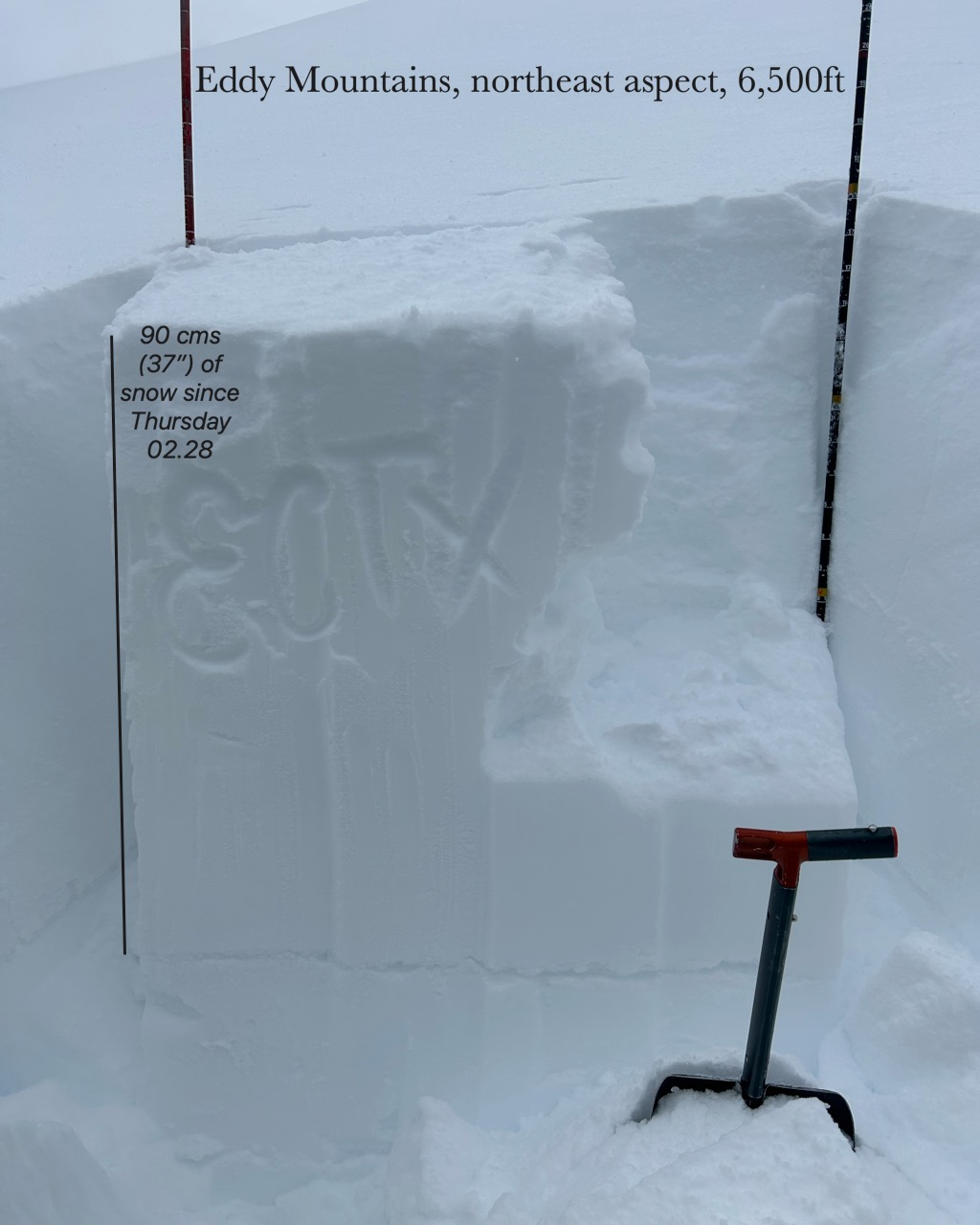
A pit dug at 6,500 feet on a northeast aspect reviled 90 cm (37”) of a rightside-up and straightforward snow structure (see picture). All stability test results were unremarkable