
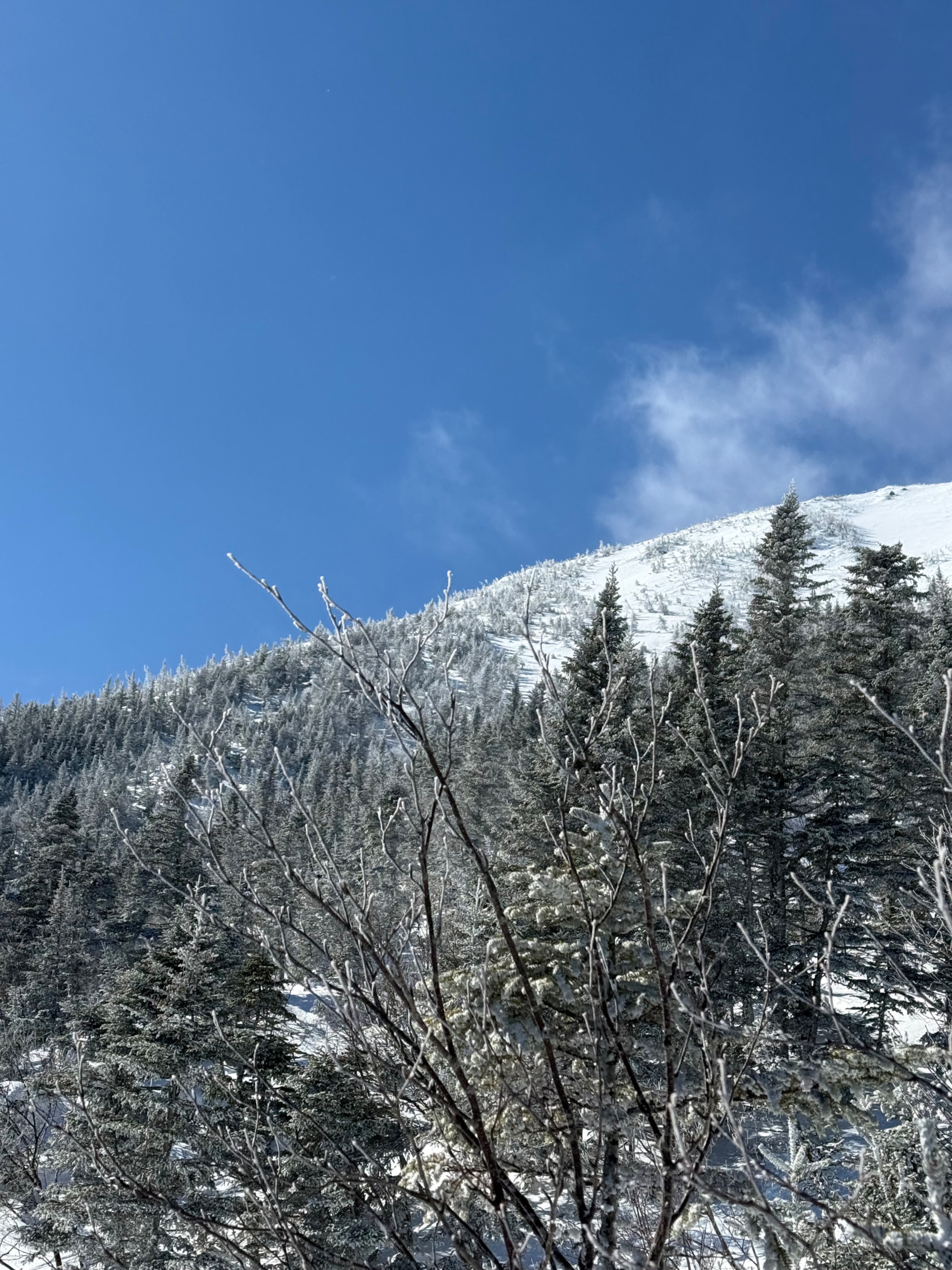
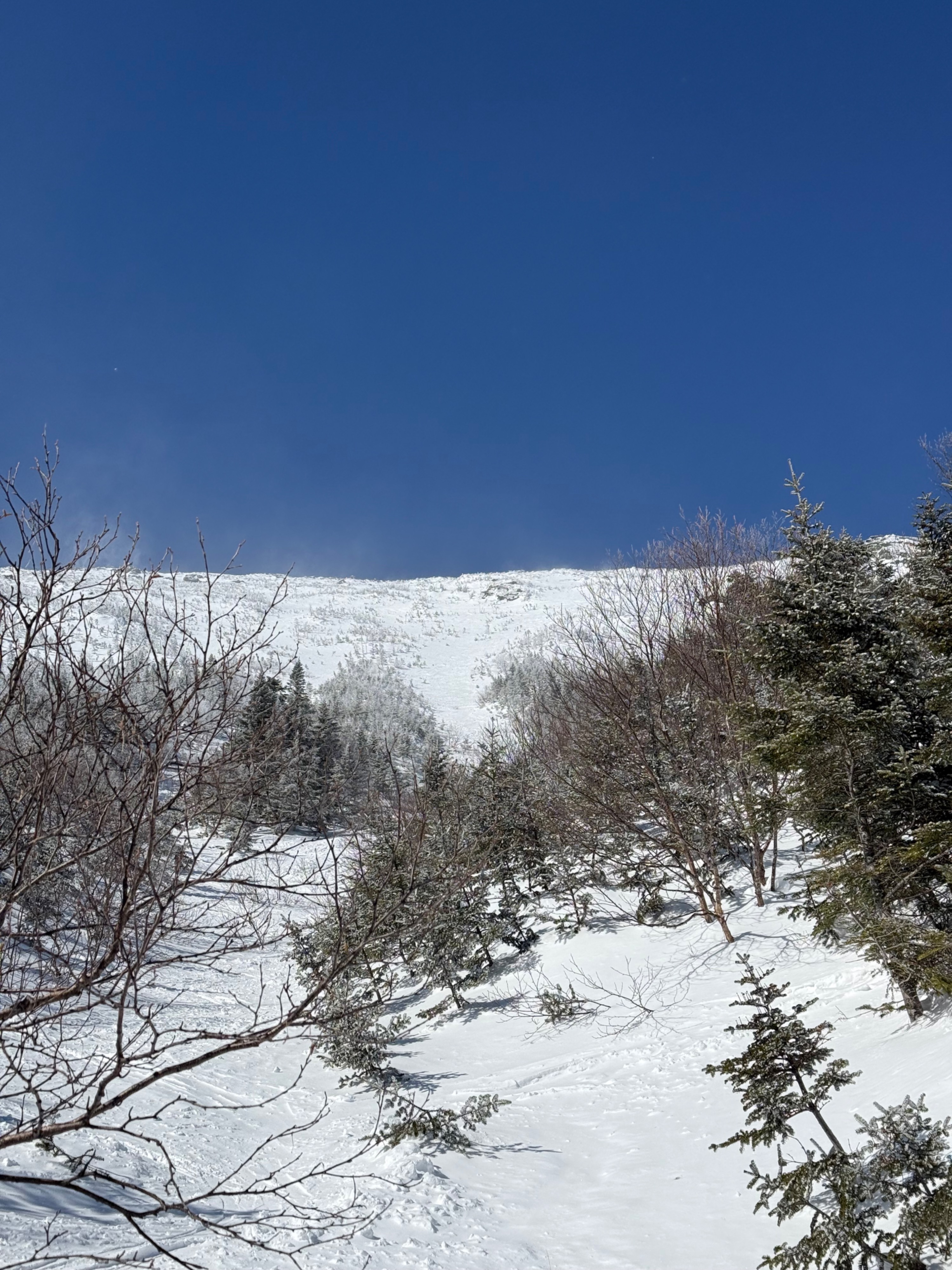
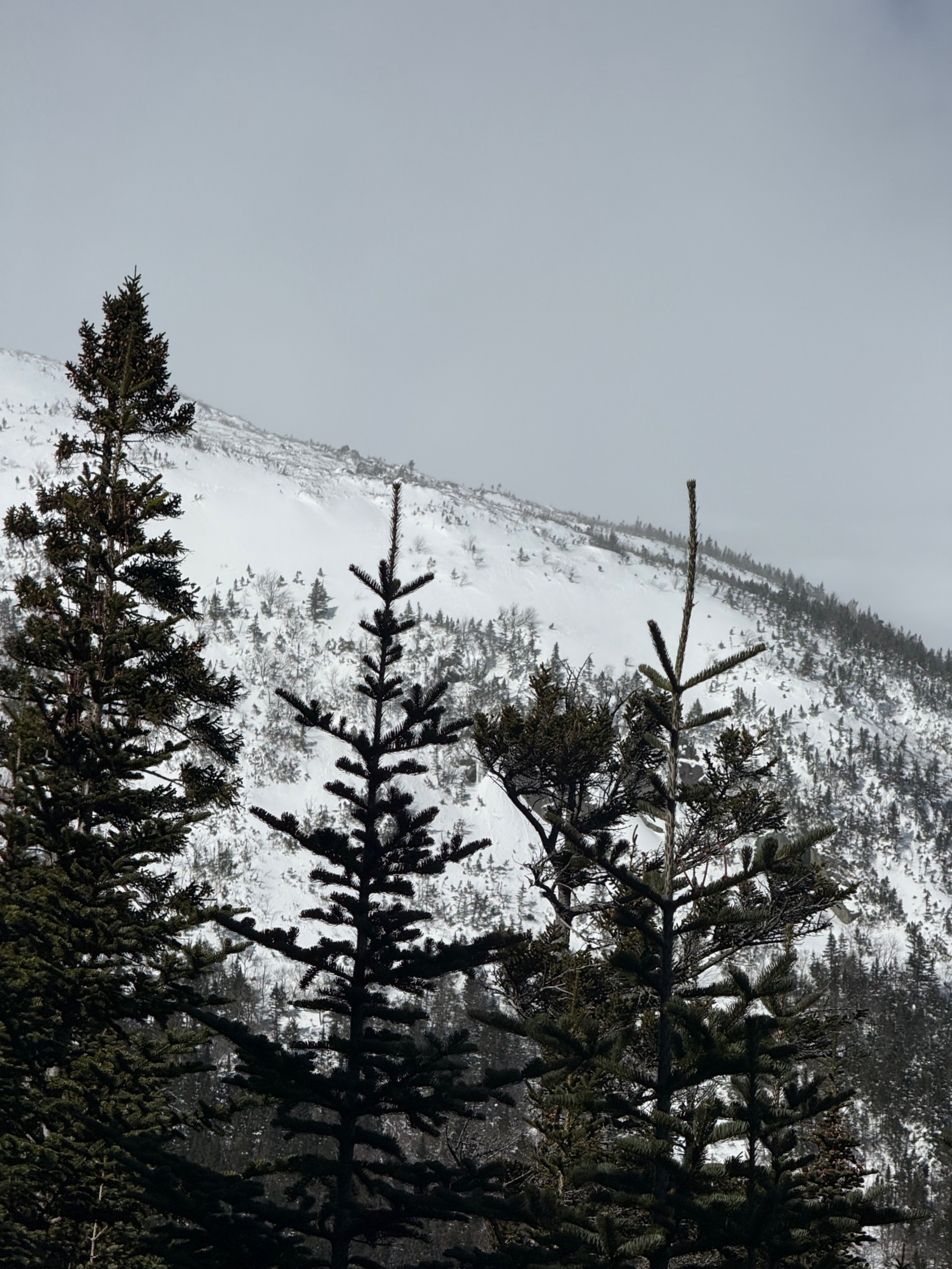
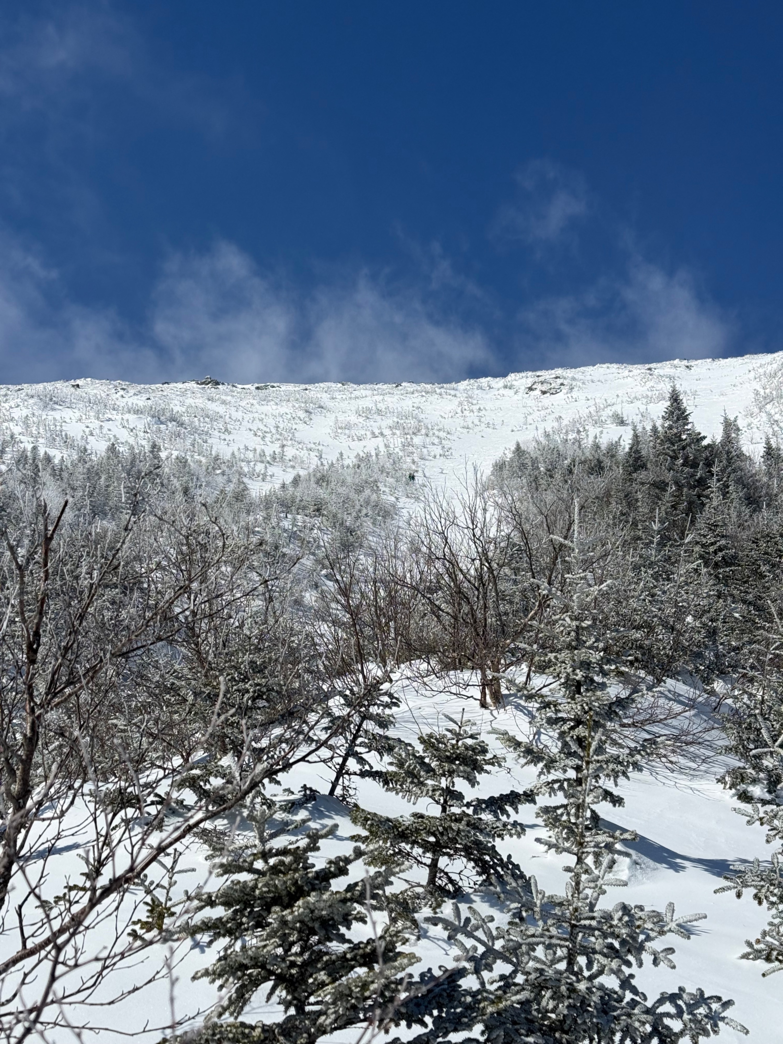
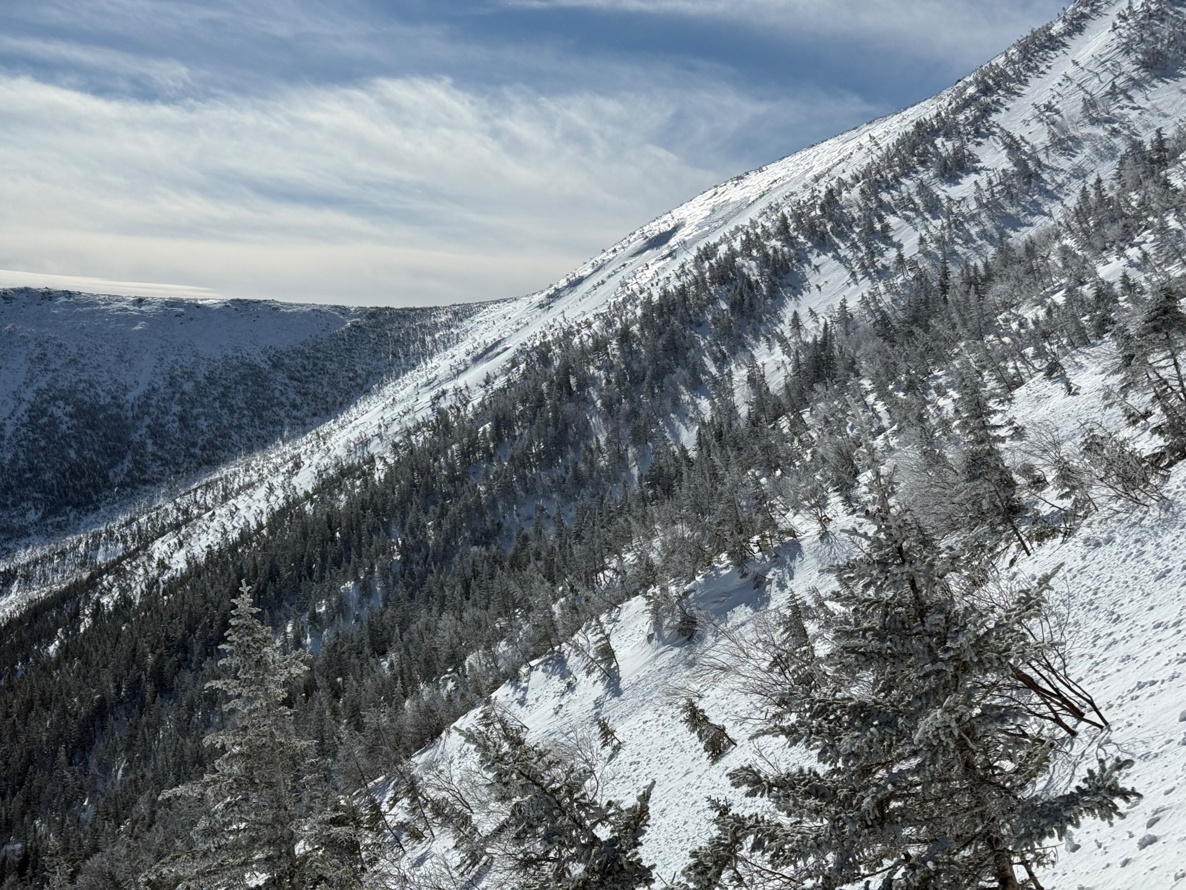
Quick report
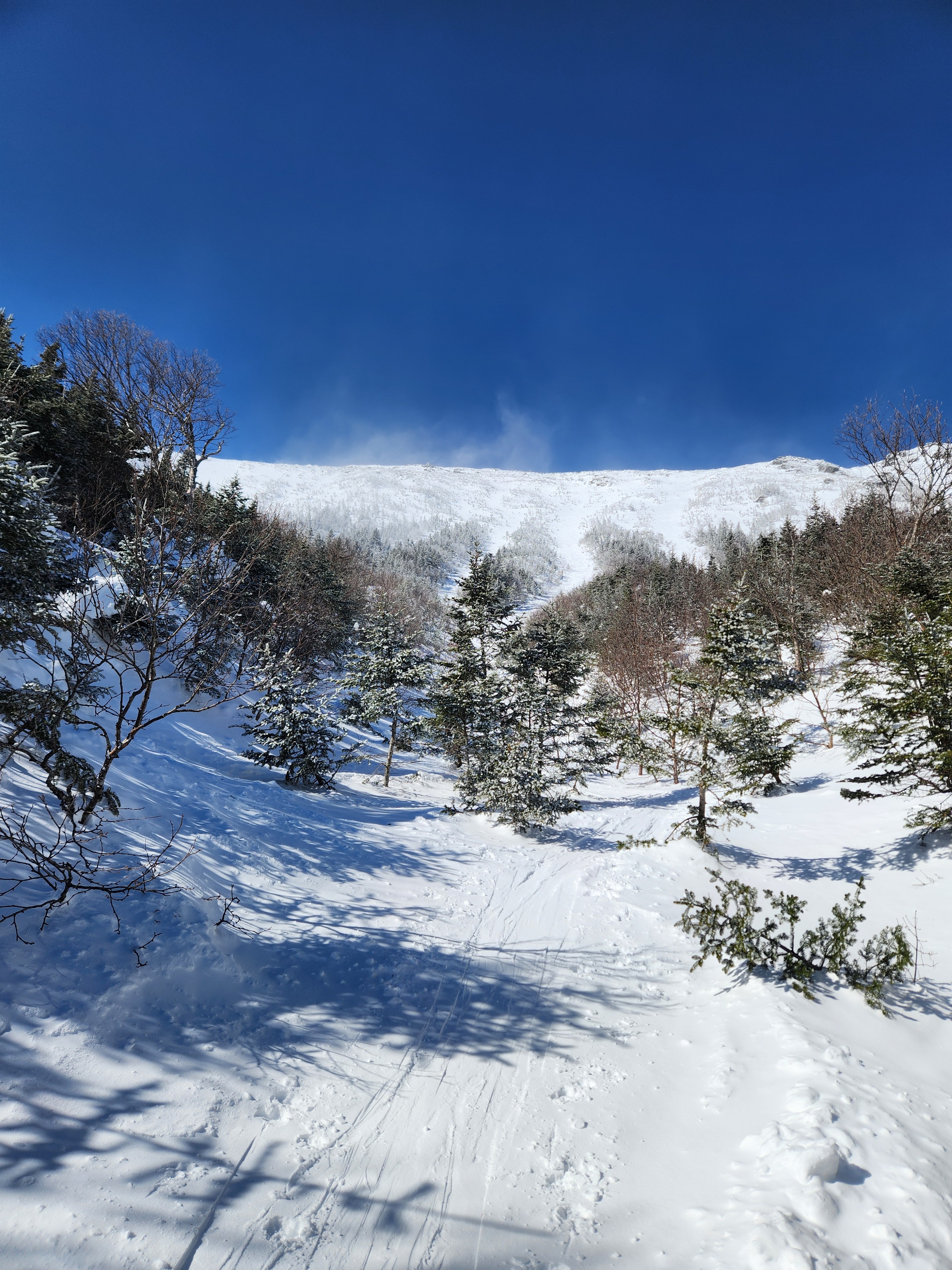
Went into Gulf of Slides to track a previously found weak layer in the snowpack: see observation, this layer of weak 4-finger to fist hard snow underneath a pencil layer was easily findable in the snowfields. Today, while skinning throughout the Fingers, it was easy to find strong-over-weak structure using a pole to probe.
We had identified a smooth, planner area that looked undisturbed from ski traffic and targeted that to dig in. Reaching it, we found a softer snow structure which seemed slightly less representative than the rest of the snow surfaces we traveled on. We found faceting snow grains in both weak layers (25 cm and 60 cm). These grains were smaller and less developed than what we found in the snowfields (though again, this structure was different). While we did not find concerning propagating results here, this is still a layer of thought and one to consider taking a look at.
Weather
- Air Temp
- 7 (summit)
- Cloud Cover
- scattered
- Recent Snowfall
- None
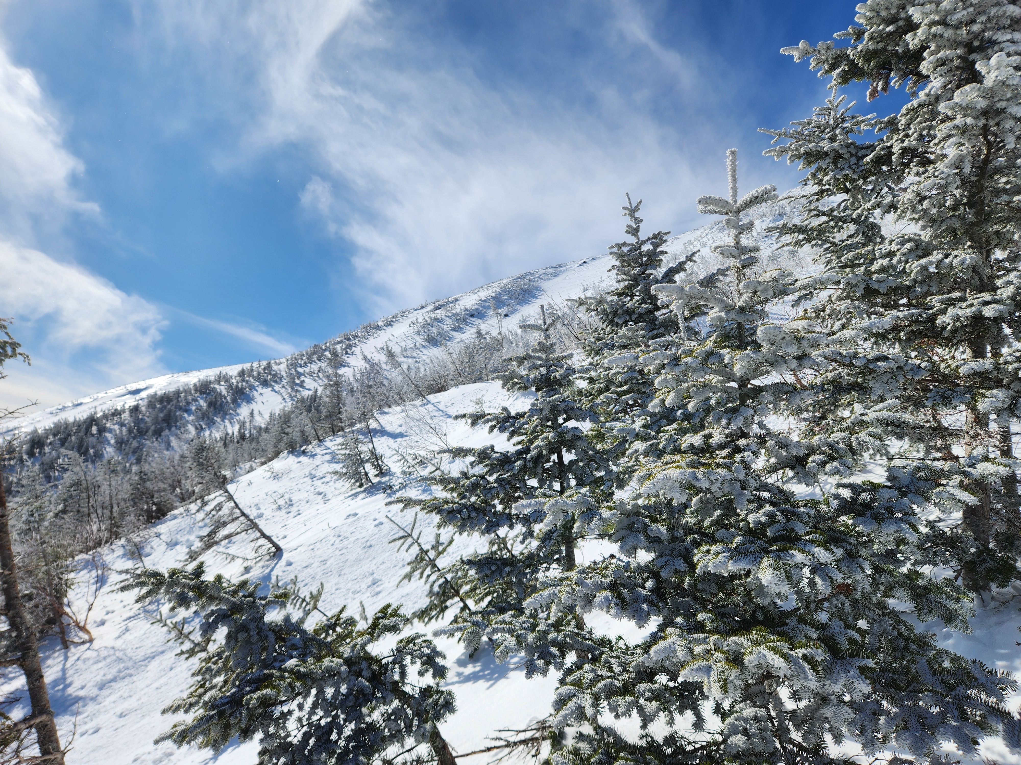
Winds stired up surface snow with ocasional strong gusts. Skies were mosly clear. Southerly aspects were being affected by solar radiation.
Snowpack
Various old, soft and rotting surface wind slabs were observed as we skinned up the Fingers. Areas that were thinner (2-5 cm) were typically on a harder (pencil) layer. While they did not propagate, they easily slid out underfoot. These were isolated and small.
At 1330, we dug a pit on a 40-degree slope between the fingers and gully #5 at 4567ft in a SSE aspect. Finding undisturbed snow was difficult with ski tracks everywhere you turned but we were able to spot a planar snow surface on our ascent and elected to dig there. Ski penetration on the tour up was approximately 5-10cm and boot penetration was closer to 20cm in our pit location.
We dug down 90cm in mostly 1F +/- hard snow. There was a thin crust and hardness change 25cm down around a MF crust and graupel layer and another weak layer was noted 60cm down on top of a pencil + hard layer to the bottom of our pit. We got no results from an ECT on either layer and none on a PST at 60cm. The PST 25 cm down was very stubborn to propagate (95/END).
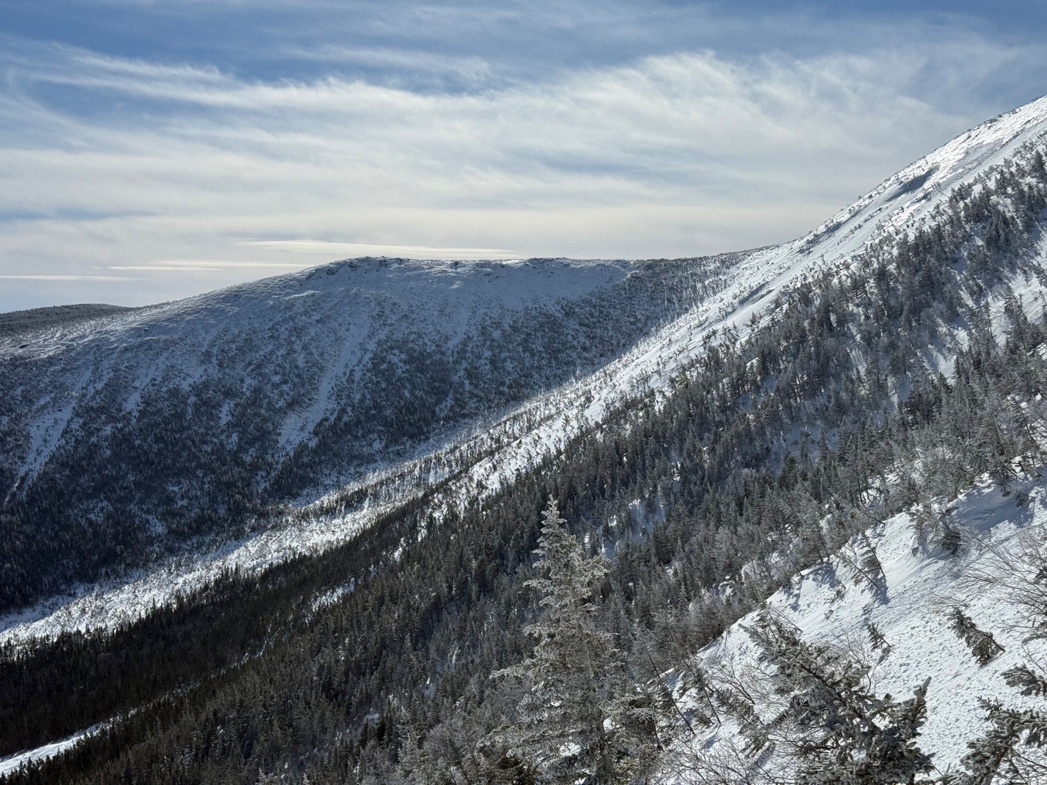
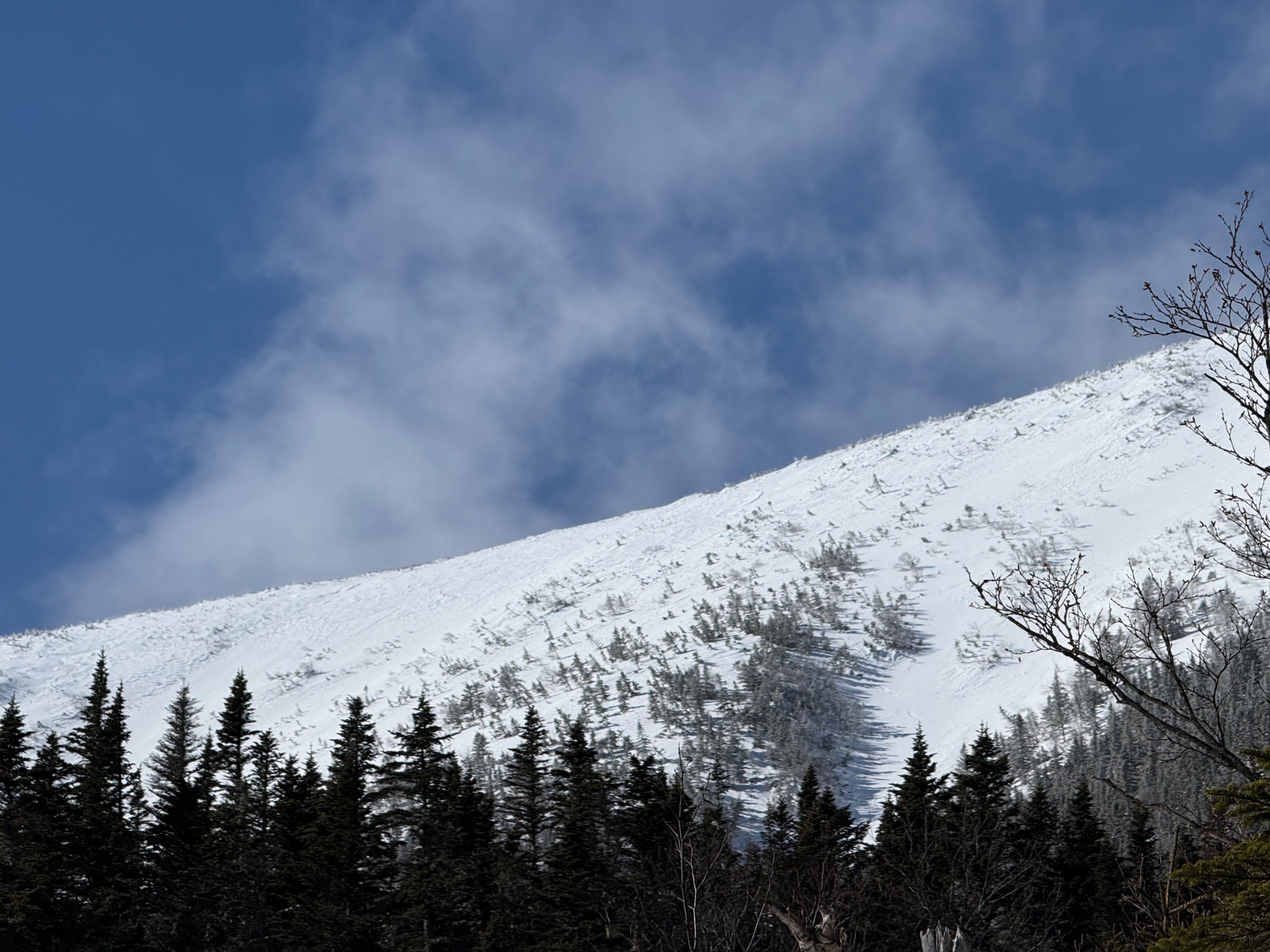
There is some uncertainty around this weak layer, and as the slabs were old wind slabs, there is spatial variability. The weak layer was from snow on1/26 that was buried on the 27th by ramping winds. The preserved precipitation particles began to facet from prolonged cold temperatures. However, a period of strong S/SW winds scoured east start zones in the Gulf of Slides 1/26 and presumably elsewhere. Because both the weak layer and slab exist lower in terrain, the slab seems to be really well supported from both the terrain and the strength of the pencil-hard layer. Previous weak layers like this have only stepped down from enormous triggers, like large natural surface avalanches.
With all of this, in some ways, there are more questions than answers. How big of a trigger? Where are the thin spots? Takeaways are to continue to look to see where this is and track changes, have mild temperatures promoted strengthening? Have cold temperatures furthered faceting (tracking PST cut lengths). There is heavy traffic across all skiable terrain in Gulf of Slides, and no evidence of any large avalanches. While this layer has not been productive yet, it is not one that is fully out of mind yet. If you find this in formal test or just probing, please share aspect, elevation, as well as layer depth!