
Quick report
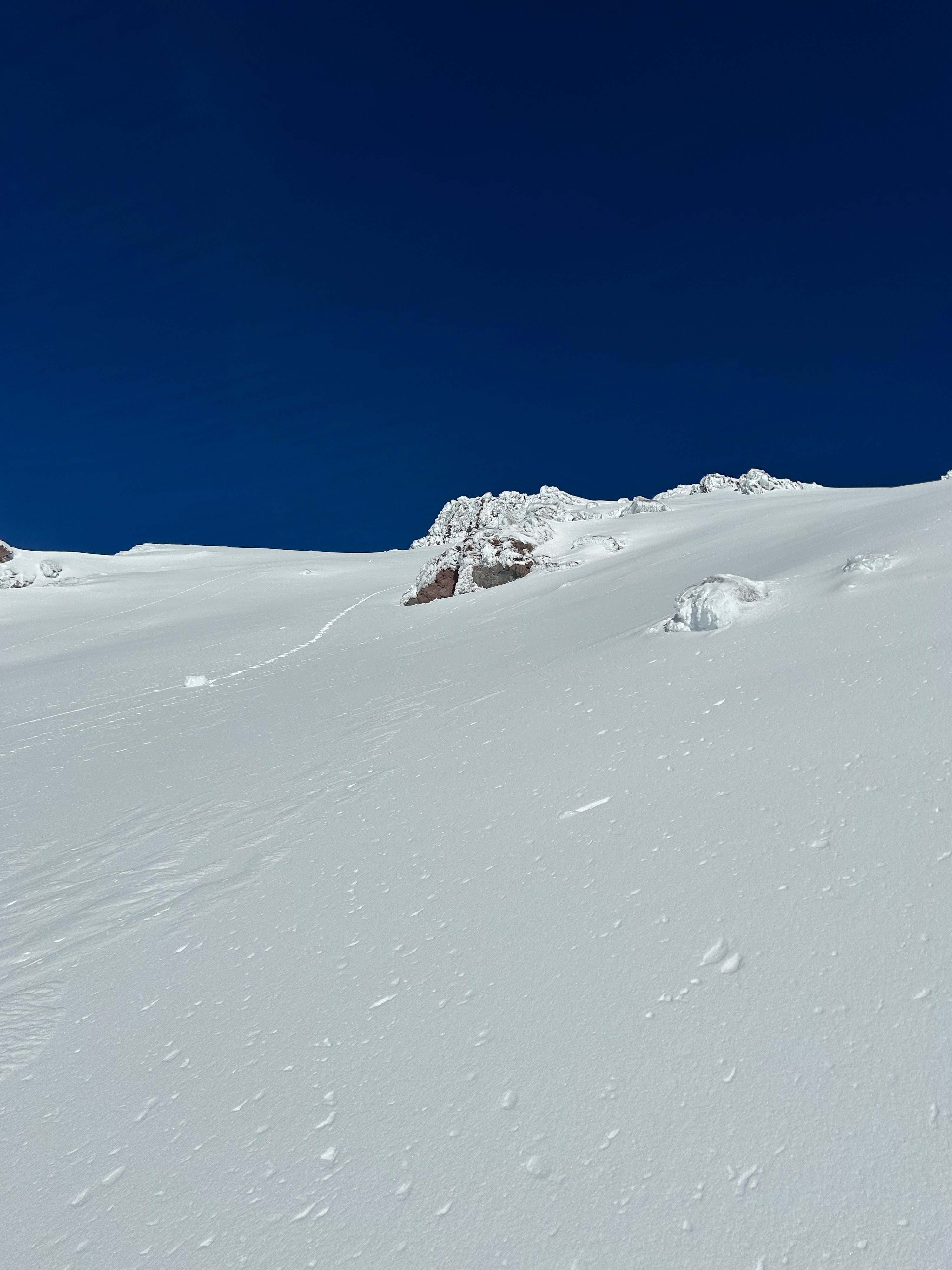
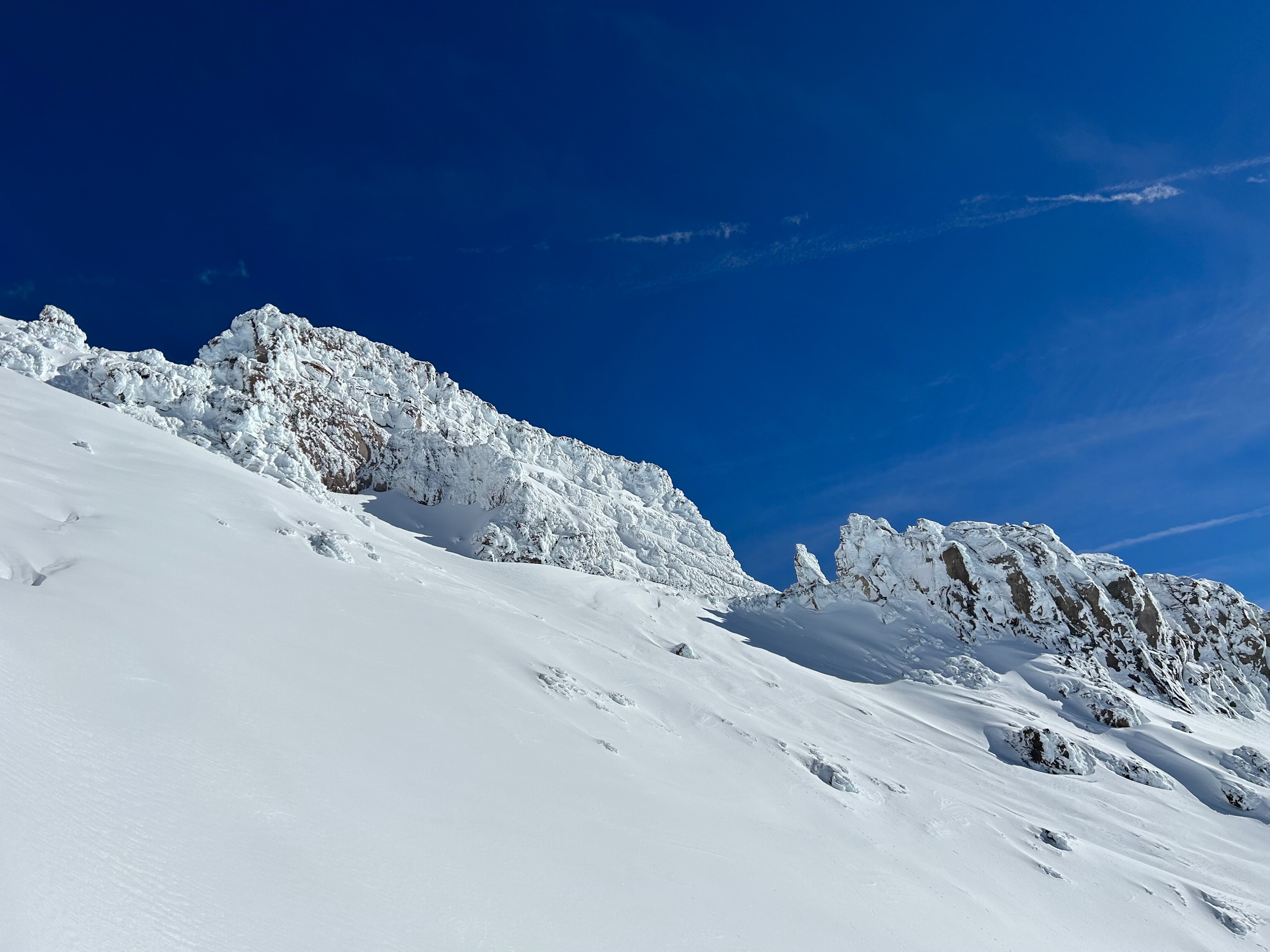
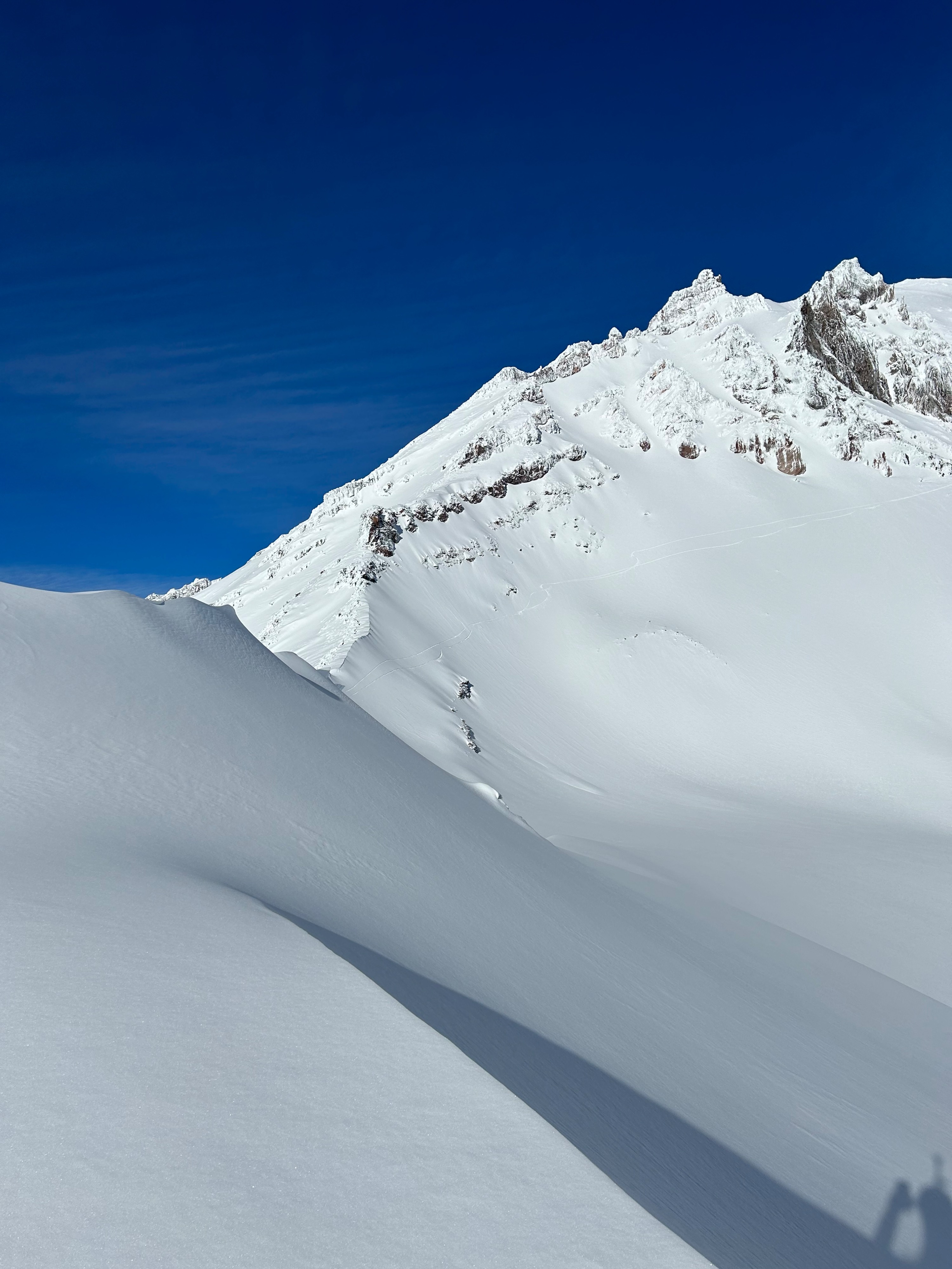
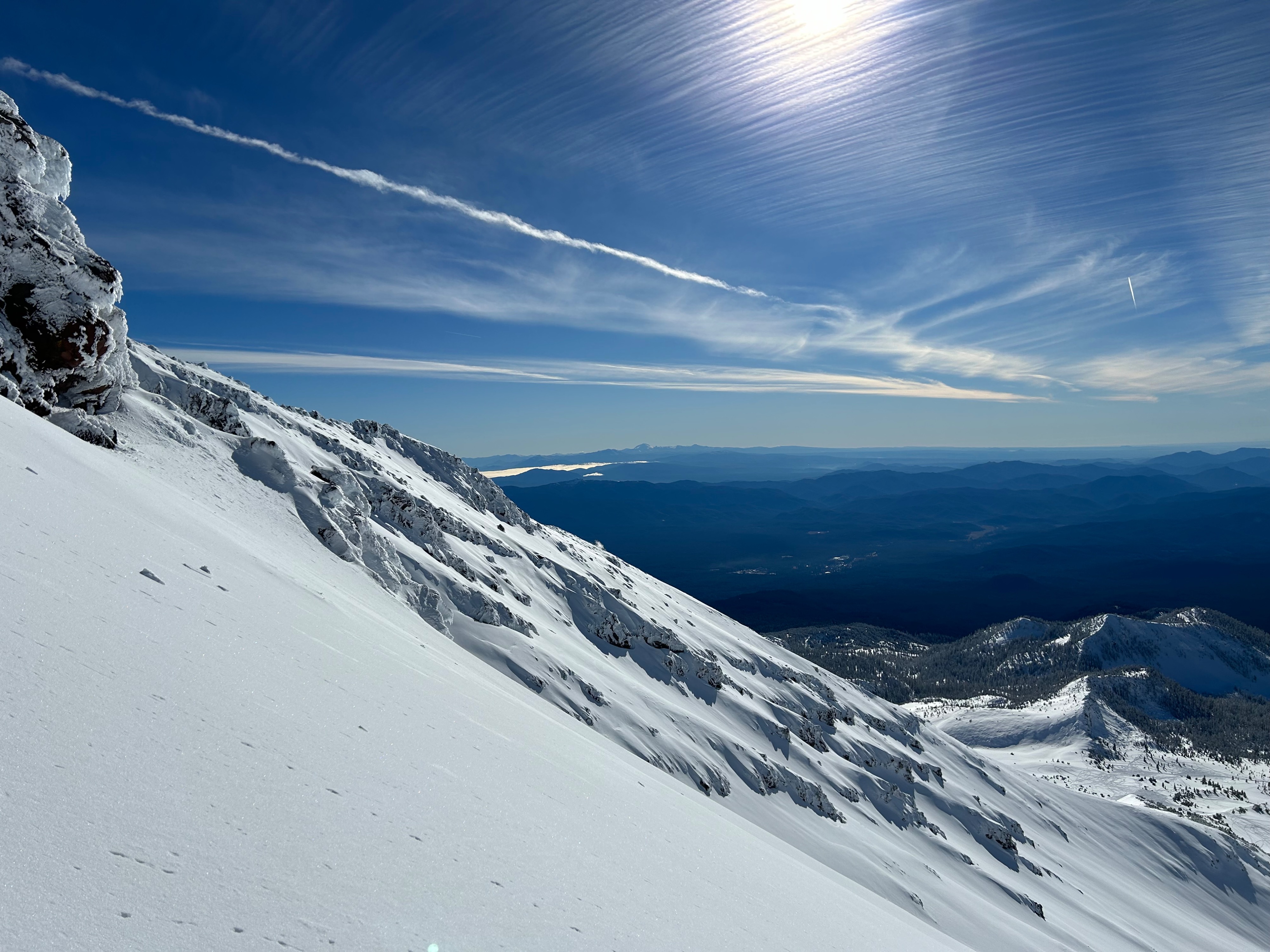
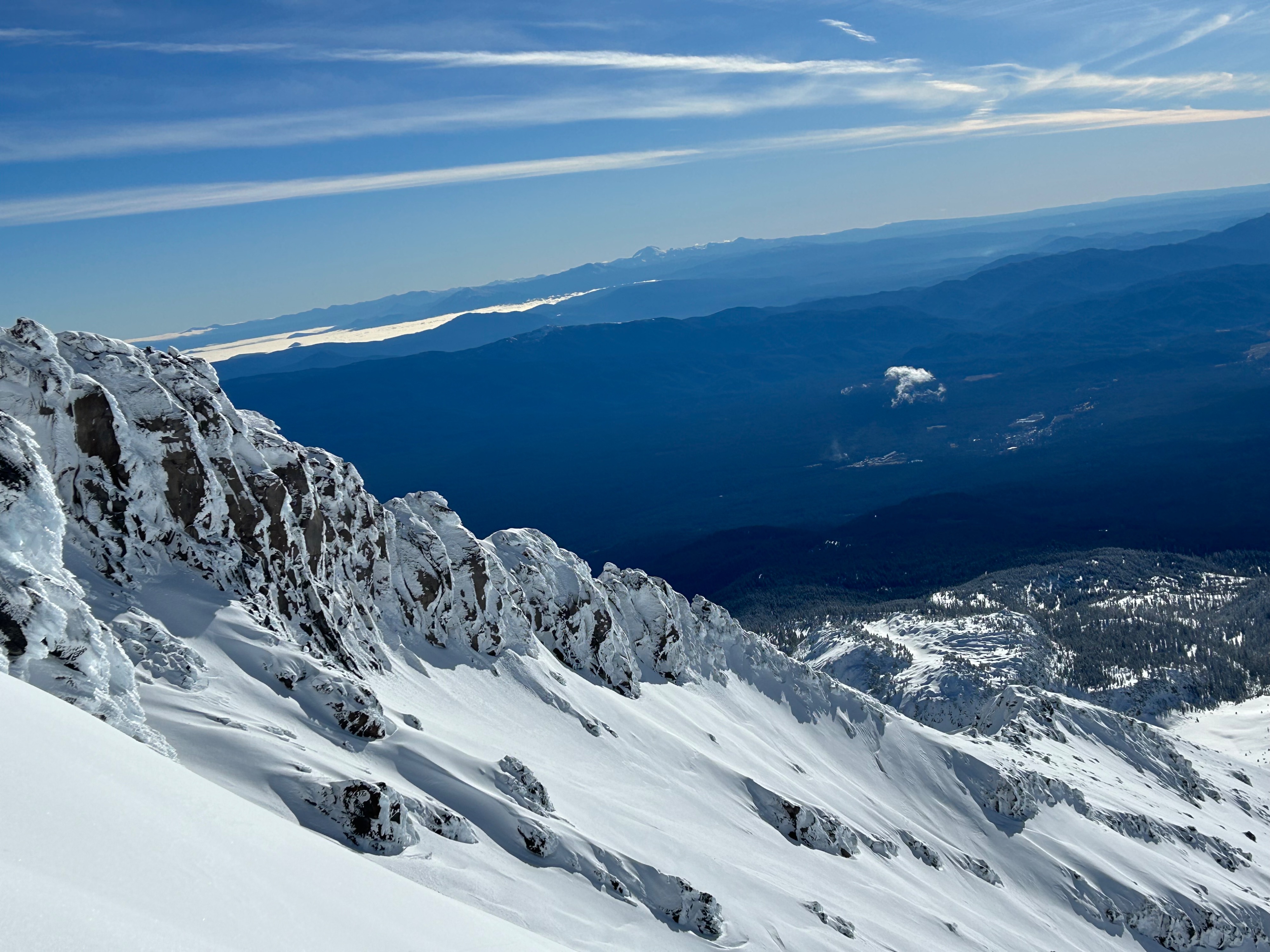
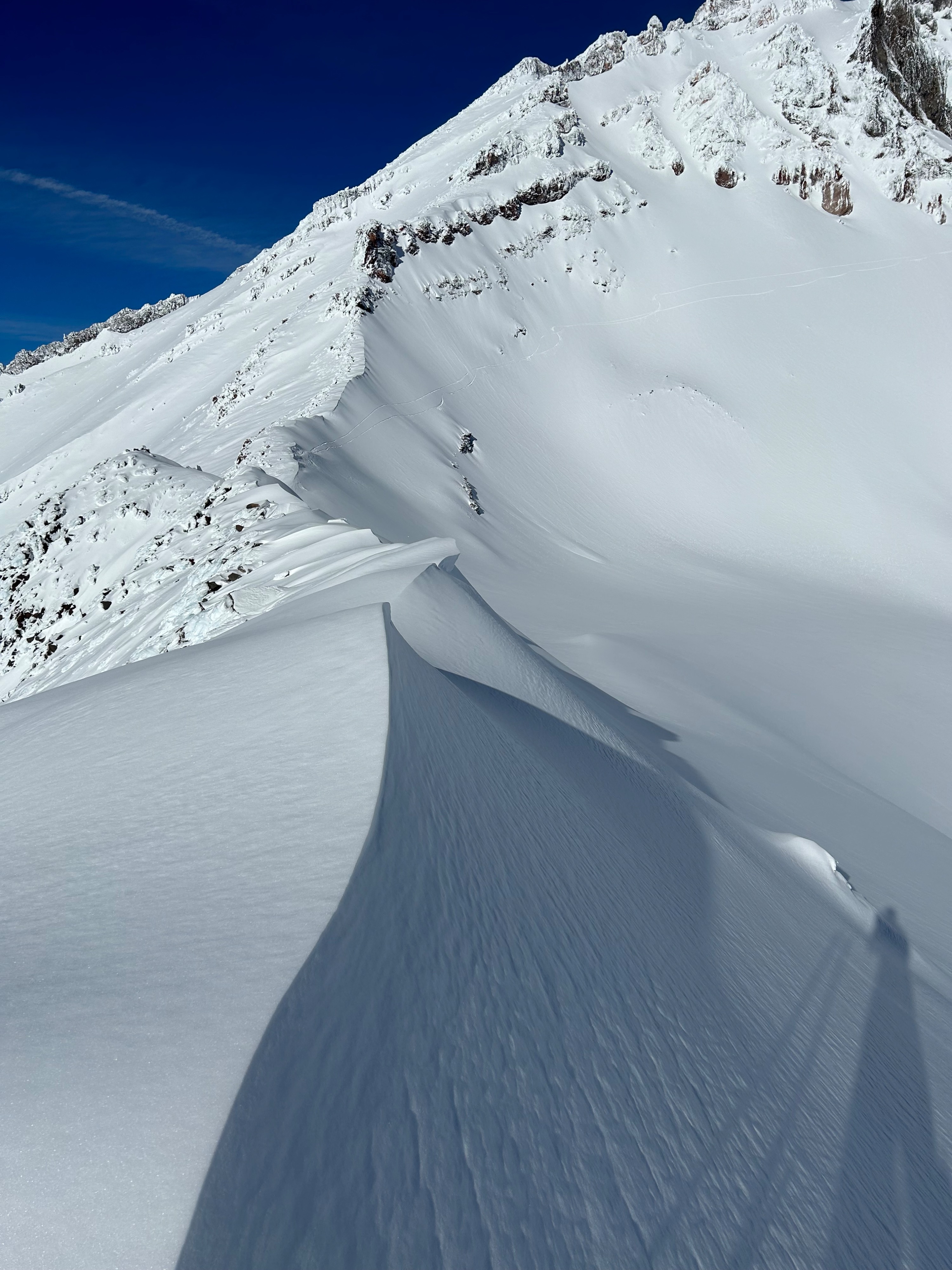
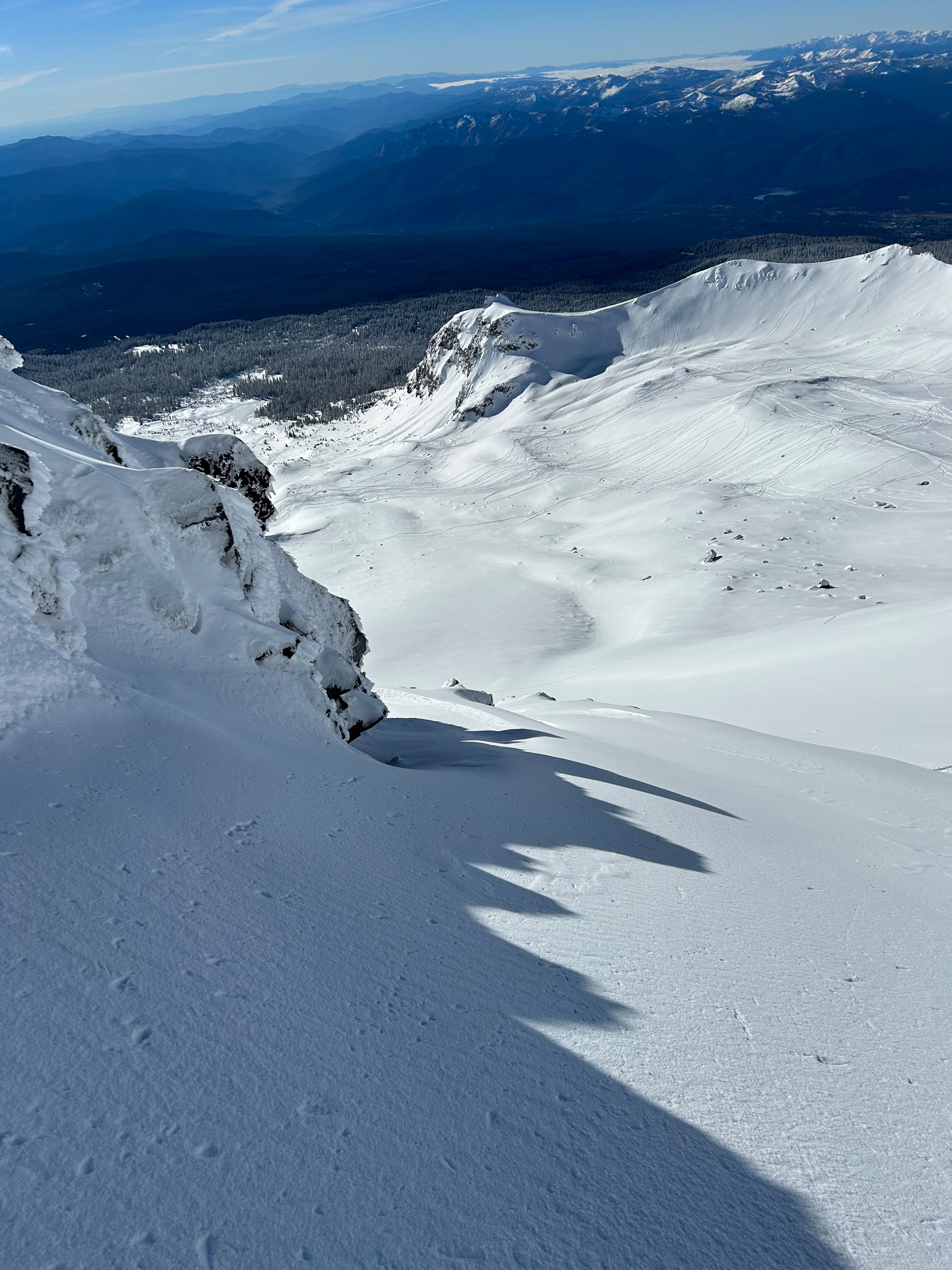
Today's intentions were to observe and see as much terrain as possible in the alpine. The larges hazard observed was the rime ice falling from rocks above. The strong input of solar radiation begun to show its effects around 10am. An ice chunk the size of a soccer ball was observed tumbling down the slope before the snow arrested it. We kept our eyes to the sky and managed our timing and movements beneath features holding large amounts of rime ice. Slick and firm surfaces were encountered on ridgelines and around rock features where previous wind hammered snow or ice was present.
Weather
- Air Temp
- 30
- Cloud Cover
- few
- Wind Loading
- none
- Recent Snowfall
- 0
- Snow Avail For Transport
- small smounts
Today's weather was clear, calm, and sunny. Freezing temperatures in the morning rose as the day progressed. The California sun shown brightly, and hardly a breath of wind was experienced.
Snowpack
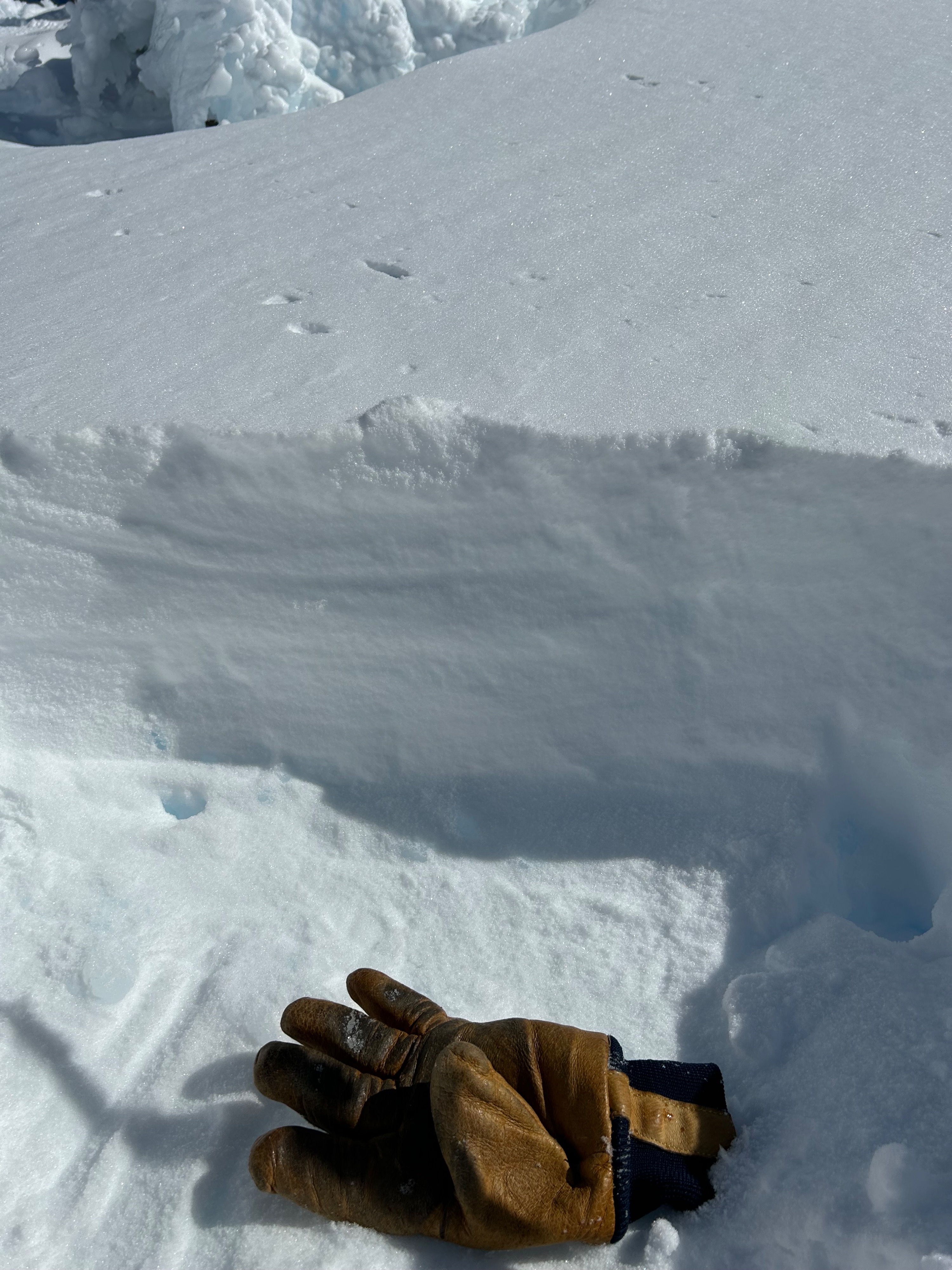
In general, the higher you travel, the better the snow quality and coverage becomes. We observed this transition occurring near 9,500 feet. Below that, a stout and breakable surface crust is present. Above 9,500 feet, only the most solar aspects held traces of thin surface crust. Otherwise, snow surfaces were soft and supportable. Shaded and northerly aspects hold the driest snow. Snow depths ranged anywhere from 15 cm to 30 cm. Softening snow was observed at midday on slopes below 9,500 feet. No signs of instability were observed today. However, above treeline on a north aspect beneath a ridge, cohesive and dense snow was found. Likely from previous wind loading. No interfaces or bed surface could be identified.