
Quick report
- Cracking
- isolated
The main areas of concern we noticed were the wind slabs that formed primarily on N aspect slopes and basal facets that could cause failure to the ground under the right conditions. The ice layers also provide good sliding layers, but the snow is generally not well consolidated above them.
Weather
Saturday 11/11 was overcast with N winds up to 20 kts. Sunday 11/12 was cold and clear, a S wind picked up towards the early afternoon.
Snowpack
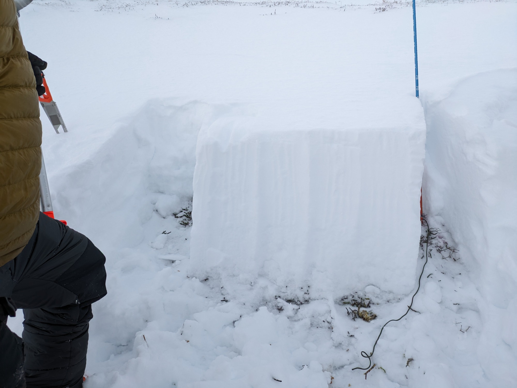
Wind slabs of varying thickness have developed on N aspects from the storm prior to 11/11 on top of generally unconsolidated snow. Some isolated shooting cracks. A rain crust from October is widespread and found on all aspects up to at least 5000' midway through the snowpack, and several other localized ice layers are present. There were isolated pockets of nice powder deposited from a S wind at lower elevations, primarily where windslabs had not formed on top. The bottom several inches of the snowpack is beginning to turn to facets in places.
Avalanche
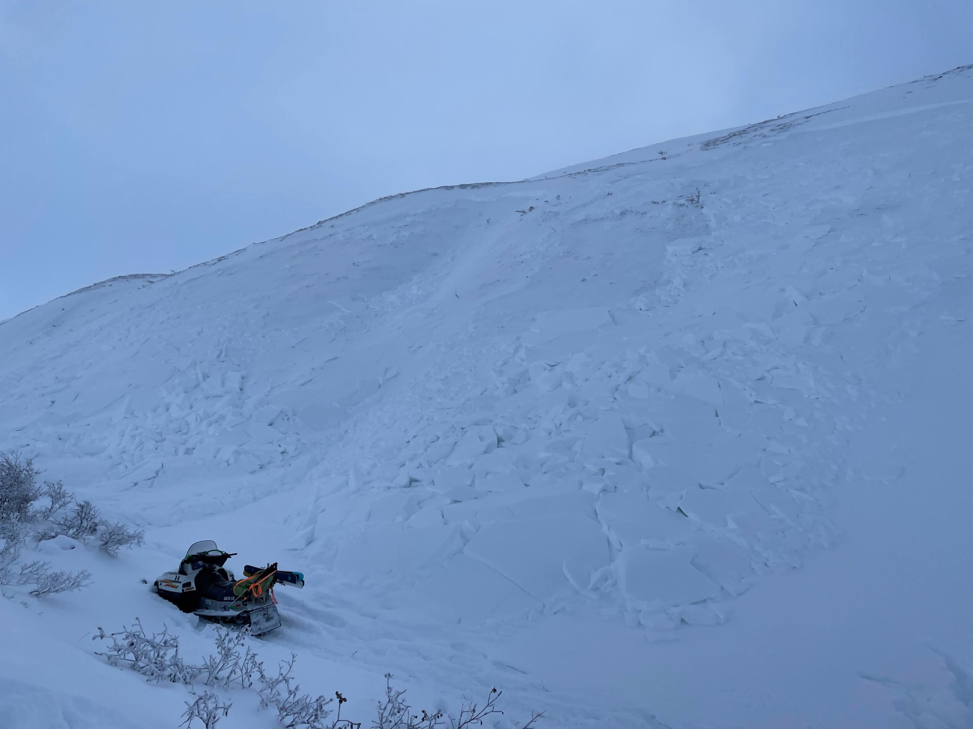
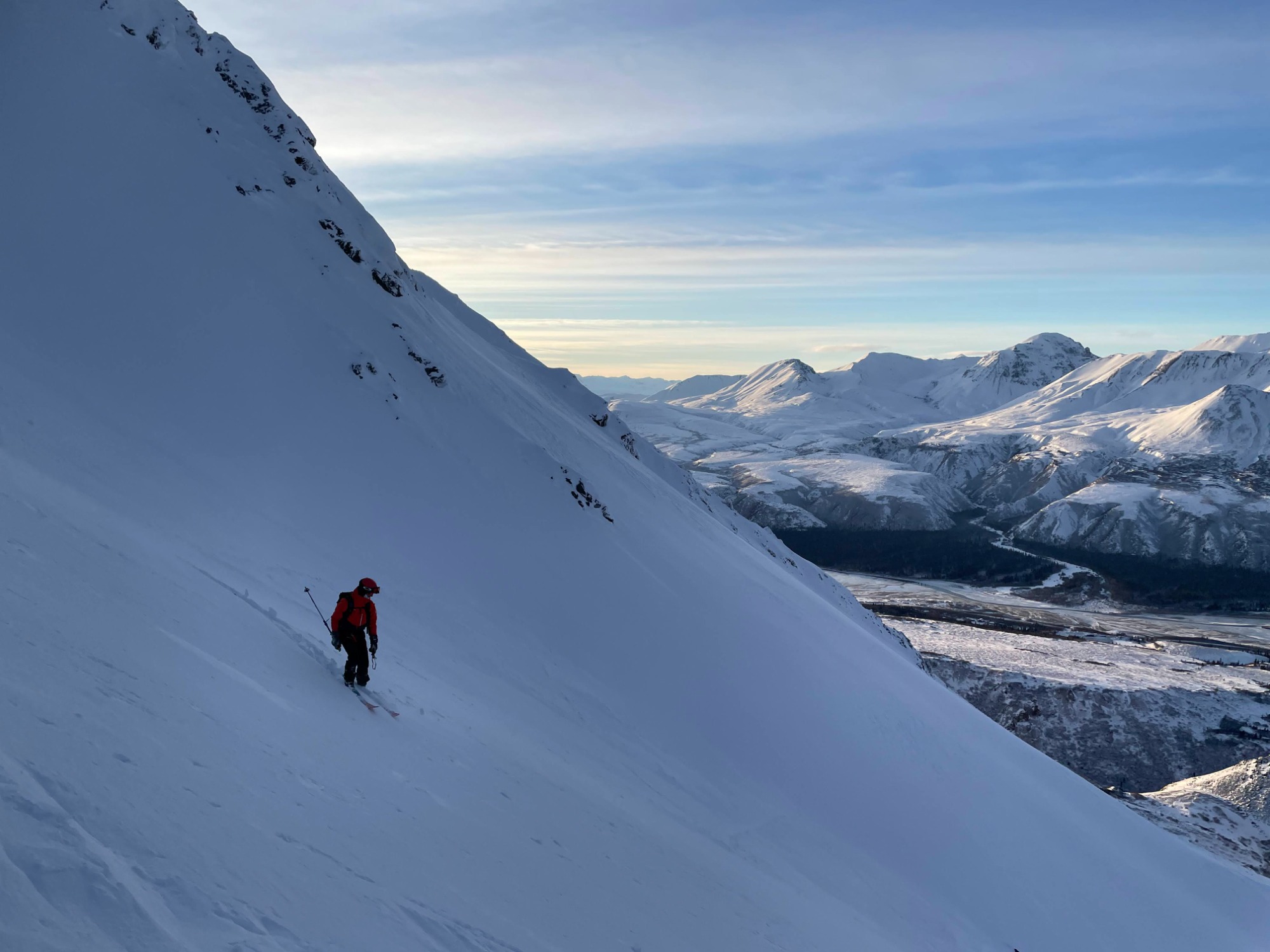
Recent slab avalanche debris was observed on the moraine going up the trail to Look Eyrie, right above the steep hill up from the creek. It was an obvious wind slab on the N aspect 45 degree slope ranging from 0.5-3ft thick. The crown was about a foot and a half thick. This was fairly fresh (from the last storm), and since the path up to look eyrie is a terrain trap most of the way under the same aspect slope, we turned around. A small sluff avalanche was triggered from the ridge down the NW face of Canwell peak on 11/12.