
Quick report
New snow: Lower-middle elevations 2-8". Upper elevations 8-14" with heavily wind drifted areas up to 18".
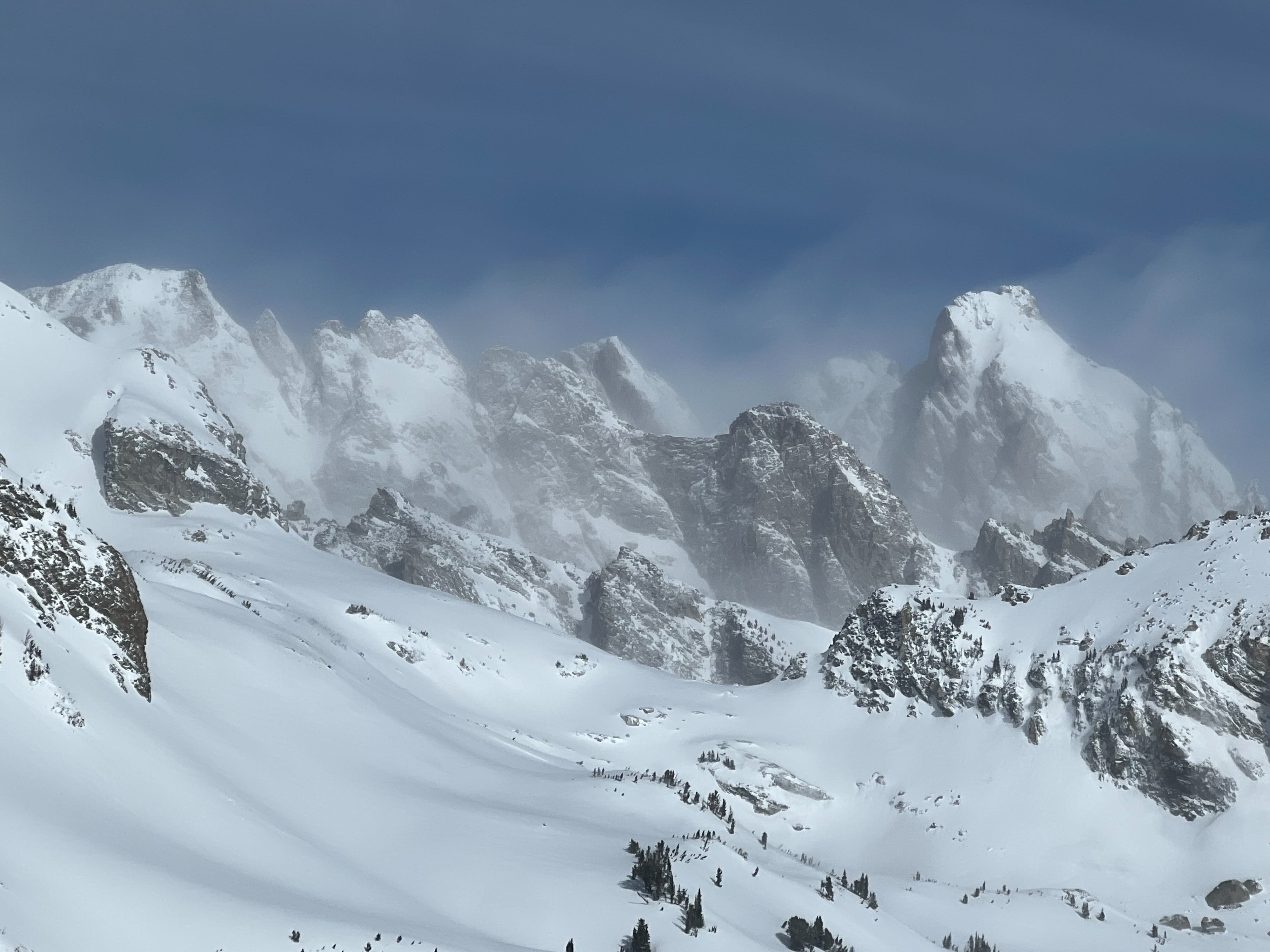
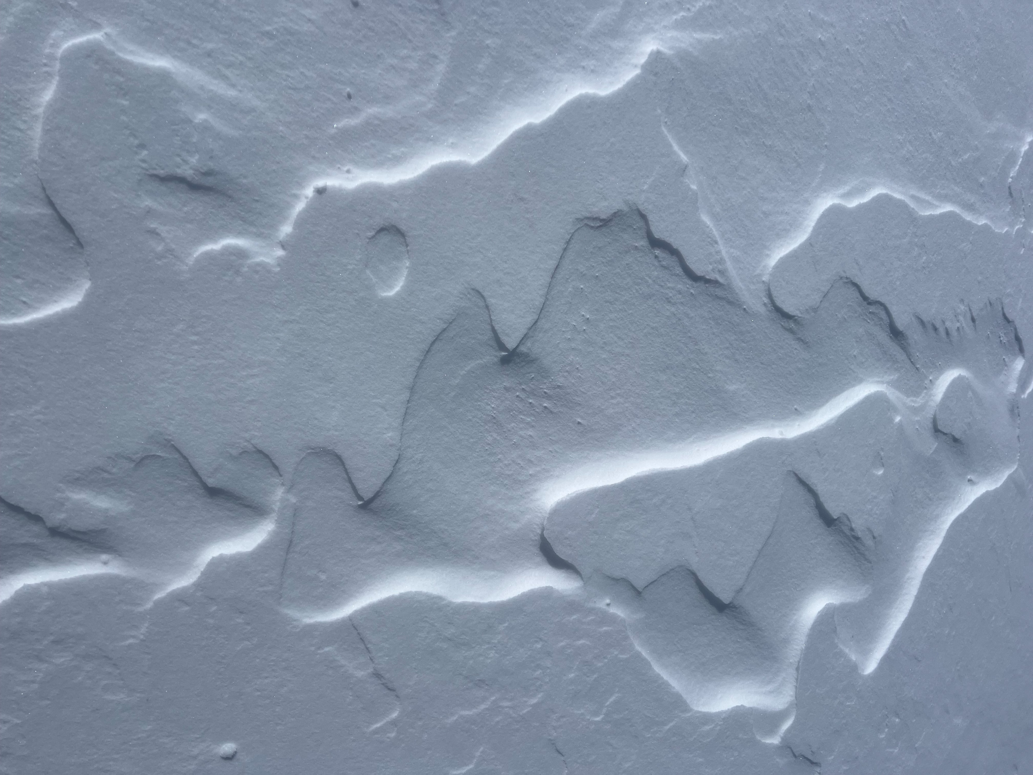
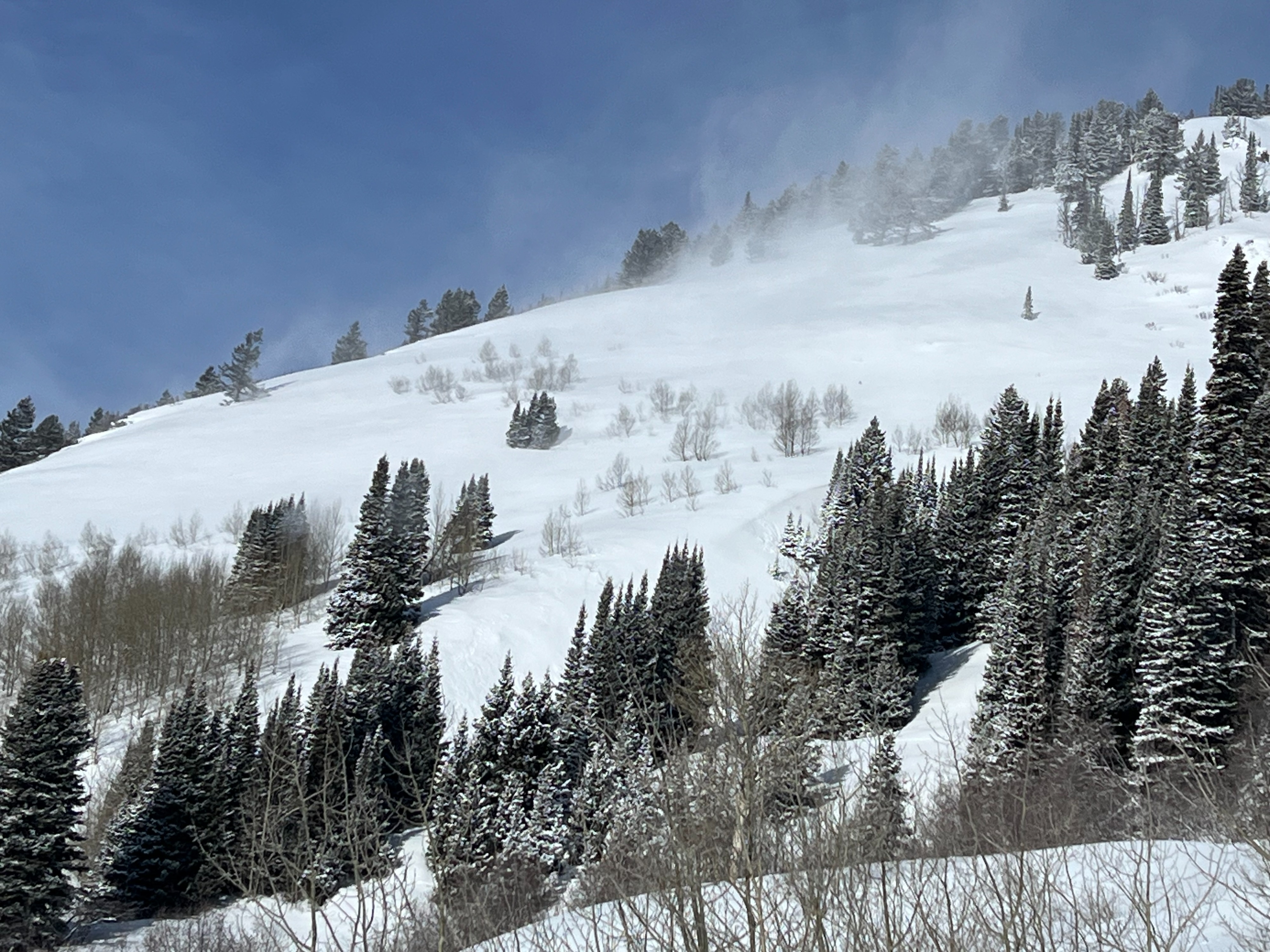
Medium density new snow (~7.5-8.5%) was mostly stable, right-side up, with very limited slab development up to 10,500' in our travels. Isolated shallow wind slabs in uppermost elevations. Cold temperatures and consistent wind kept snow surface cool until departure at 14:30. Visible snow transport in the high peaks all day. New to old snow interface is mainly a stout melt freeze crust except on northerly aspects that was breakable. This interface had some isolated areas of easy hand shears failing on density changes above the crust. Otherwise, dry loose was possible in very steep terrain.
Expect wind slabs to become larger, more reactive, and more widespread by tomorrow if wind forecasts hold true. Lots of snow available for transport. More snowfall is expected tonight and tomorrow with an increasing temperature trend that could set up into more of a upside-down storm slab (TBD). Forecasted snowfall amounts vary drastically across different weather models. Snow level increases to over 7,000' tomorrow afternoon.
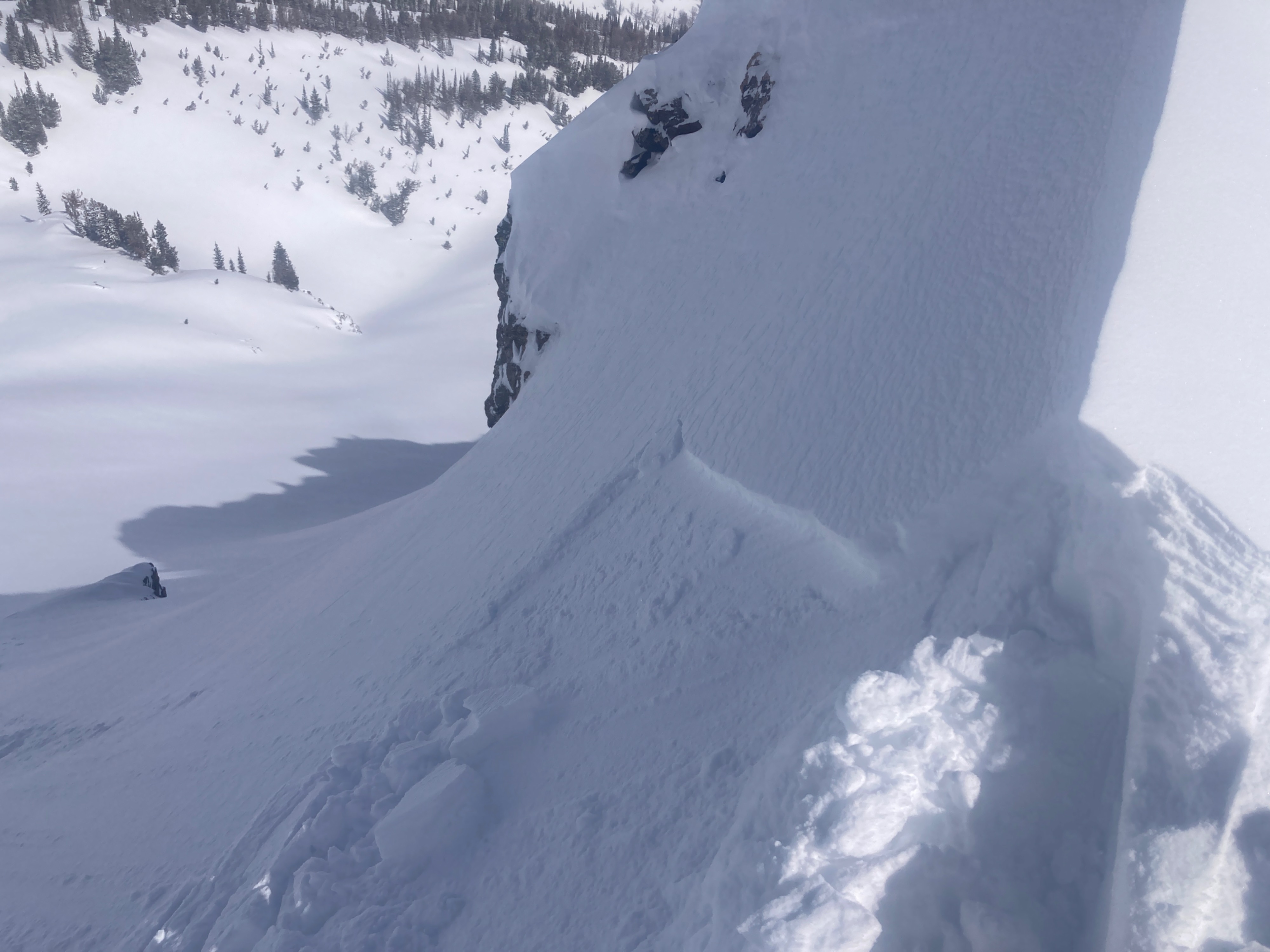
Small, isolated wind slabs less than 6 inches deep in exposed, leeward, upper elevation terrain. Otherwise, we found good stability in the new snow.Snowpack
A melt freeze crust that developed the last two days from warm temperuatures and strong solar (hello daylight savings) on W-S-E aspects at most elevations is widespread and unbreakable. This crust will help bridge over the January Drought Layers, making it more difficult to impact. This crust exists on NW-N-NE aspects up to around 9,000' (middle elevations) and is less pronounced and more breakable. It is thicker on NE and thinner on straight N.
9,000 NE aspect: A quick probe showed the JDL buried 90cm by a hard, dense slab.