
Quick report
Unlike the northern part of the forecast zone, the southern region saw up to 30 cm of new snow last weekend. We traveled through many aspects up to 12000 to track how it is holding up against rising temperatures, decreasing winds, and increasing solar radiation. In conjunction, we were looking to verify the weather forecast.
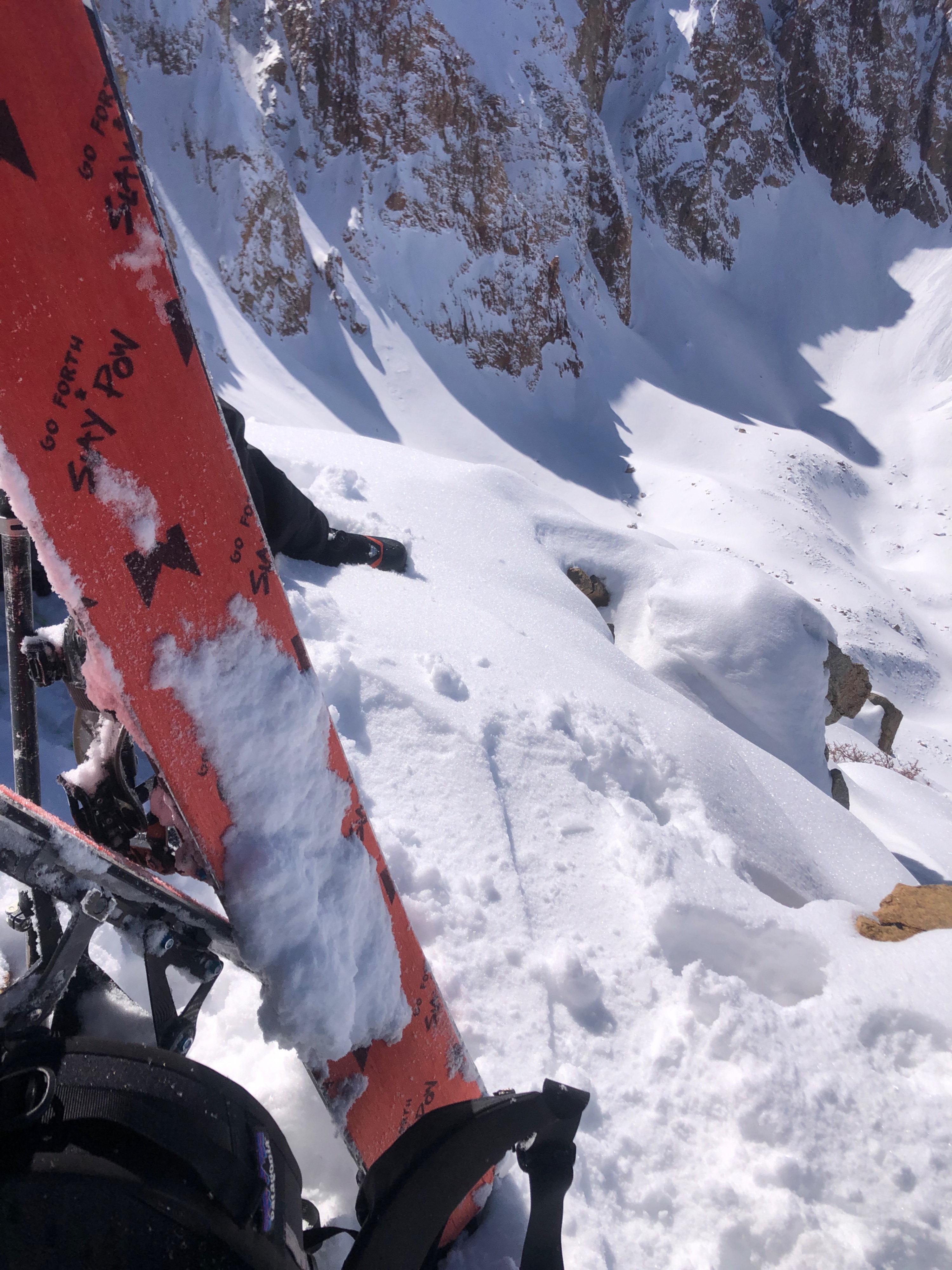
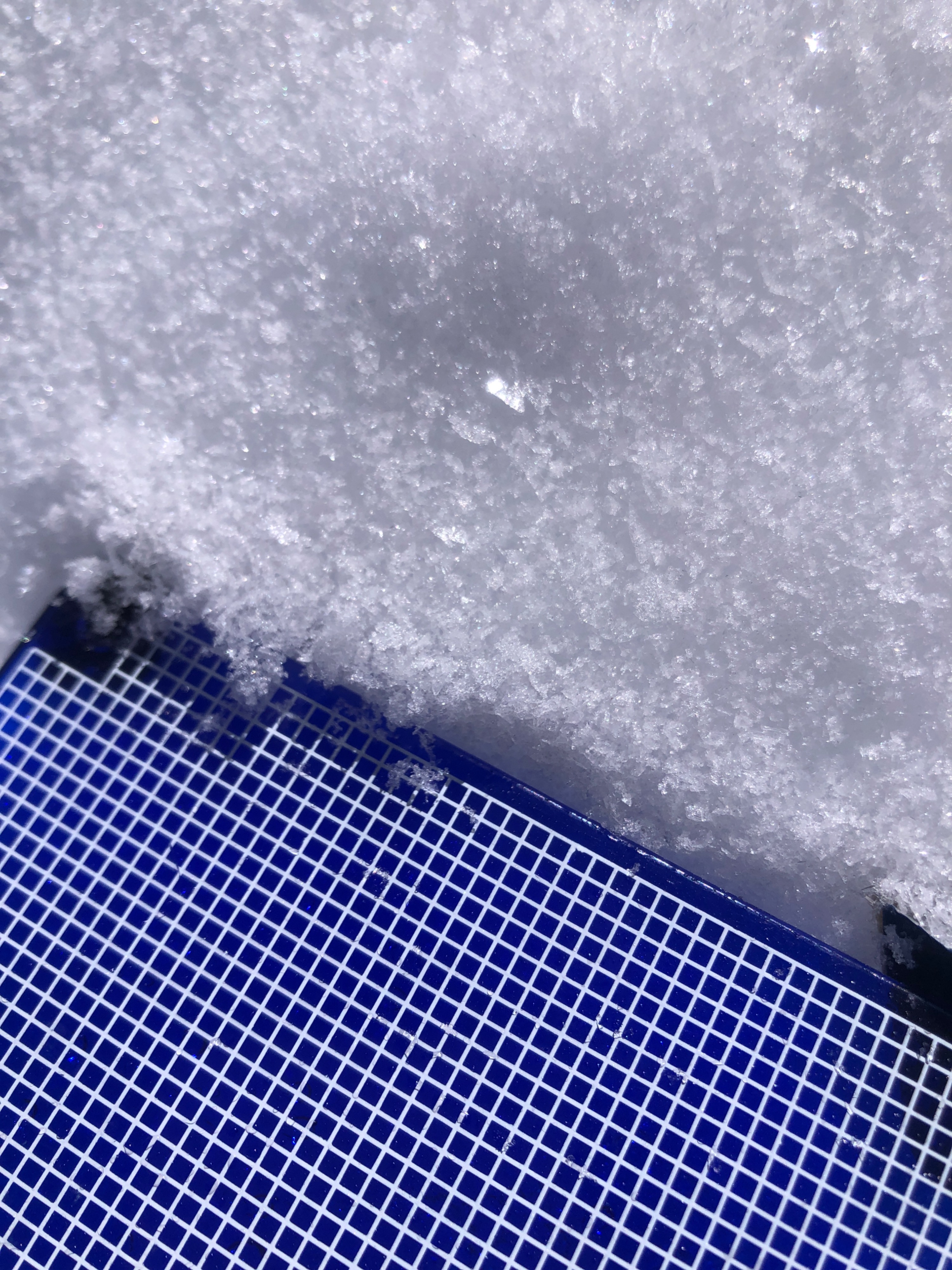
We found that at higher elevations, (above 11,000) light N winds, scattered clouds, and temperatures below 32 degrees kept the snow cold and dry. In a couple areas protected by terrain features, we found surface hoar at 12,000 ft. Most of the snow at this elevation is from the most recent storms. Isolated areas hold snow beneath the new snow.
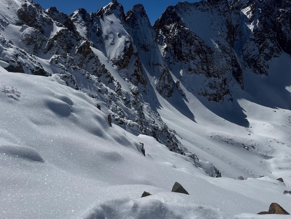
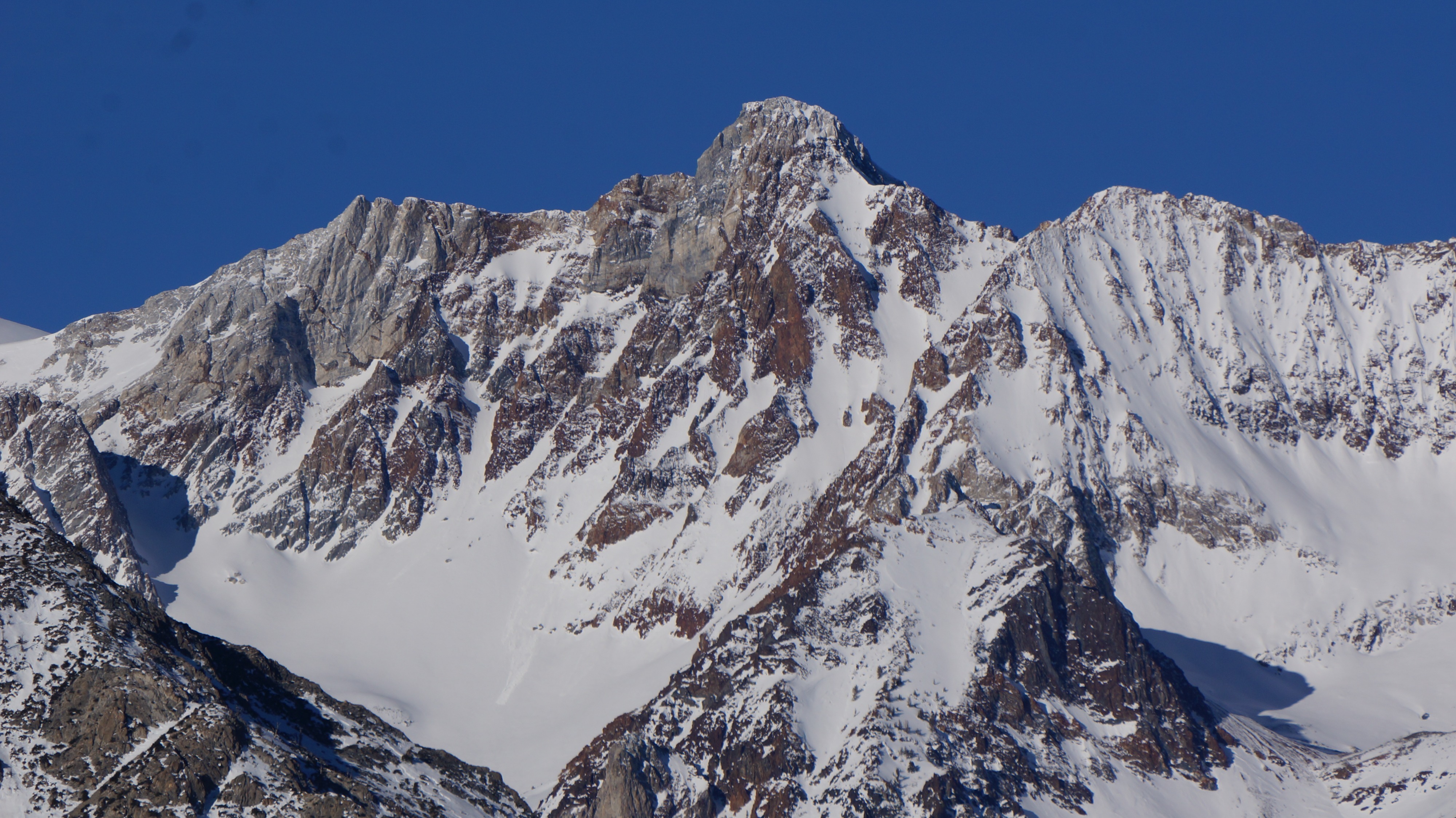
We observed wind affect in the high alpine - scouring and pillows suggesting prior loading in isolated terrain features. We only saw a couple of small crowns in isolated, extreme terrain features.
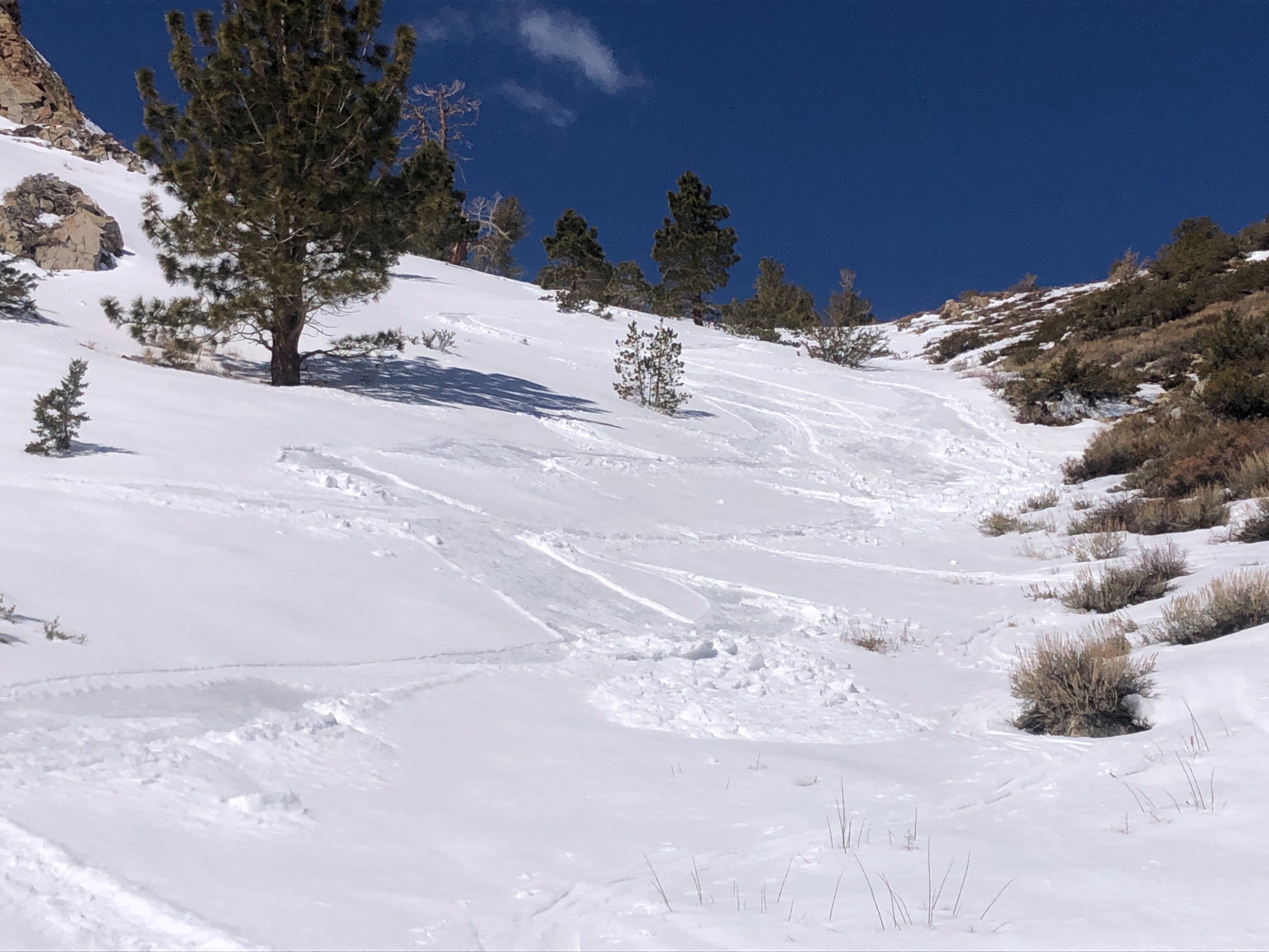
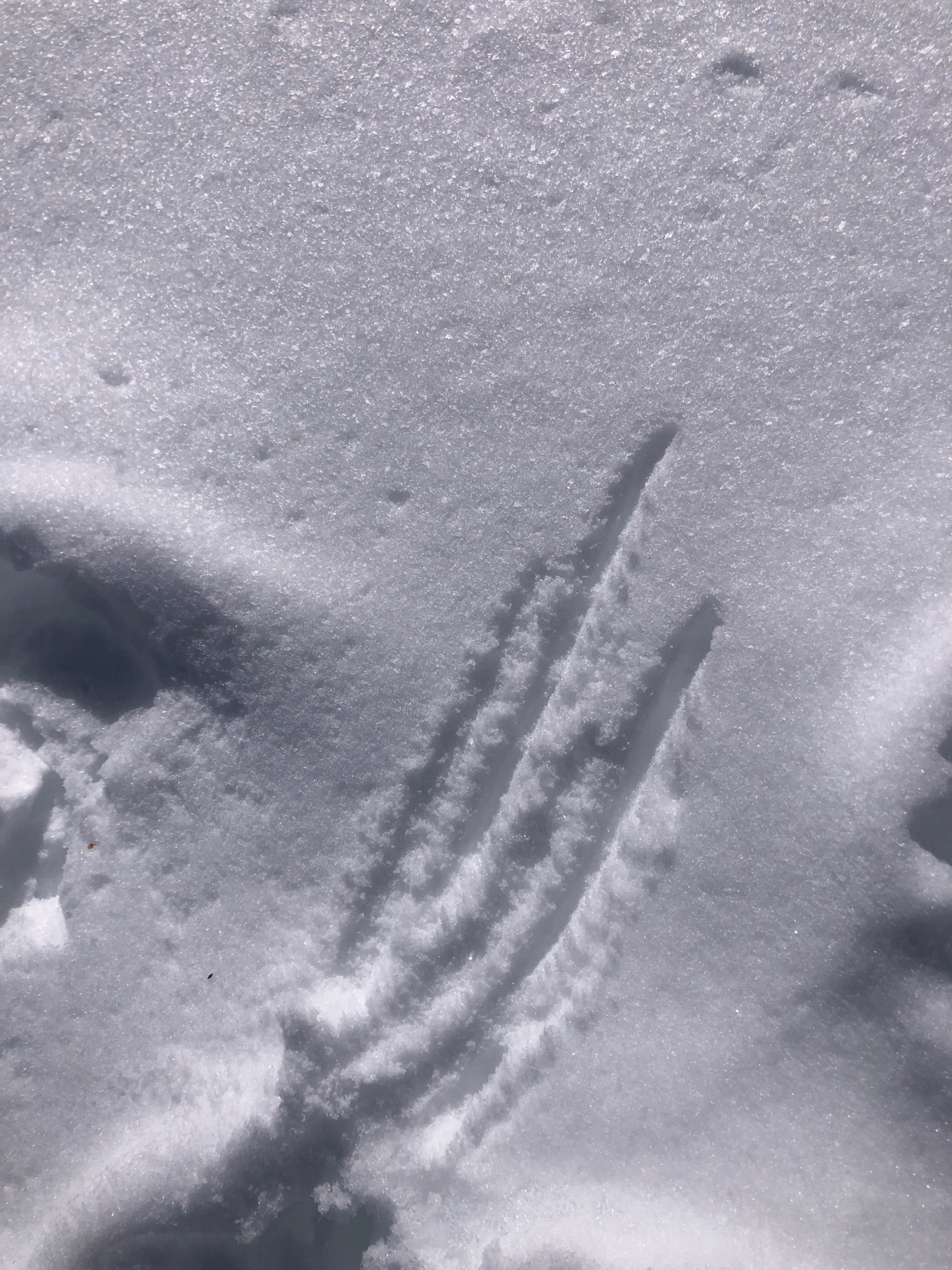
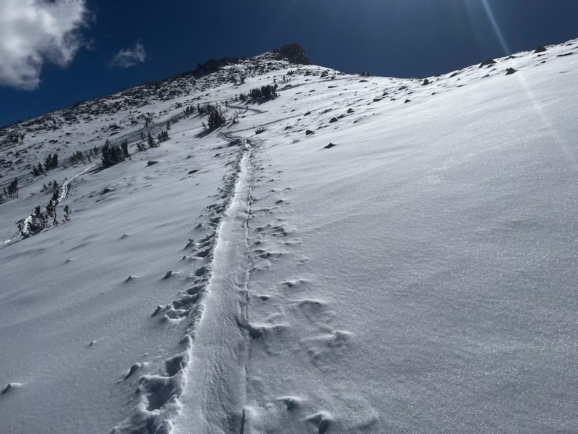
The snow throughout our day varied significantly by aspect and elevation. A trace of new snow from the prior night was observed above 11,000', over a thin MF crust. Heavy soft snow remained in the trees. Breakable crust with some wet snow on top and dry snow beneath remained from 11,000 - 9,500' on E/NE aspects. The snow surface on a SE aspect beneath 9500' was breaking down by noon, but winds and clouds came in and it began to refreeze before we returned. Below 9000' the snow was wet to the ground and unsupportable.
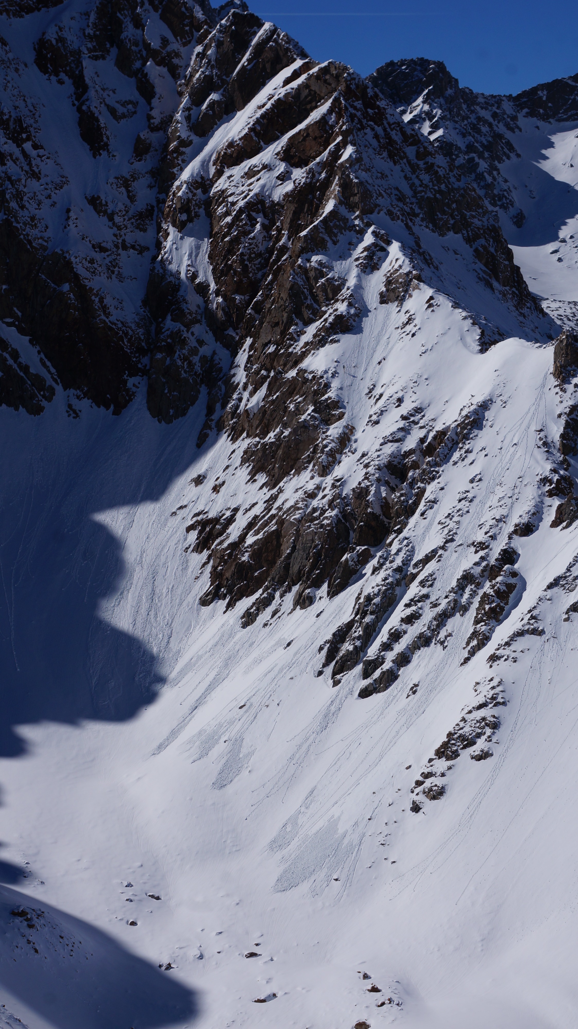
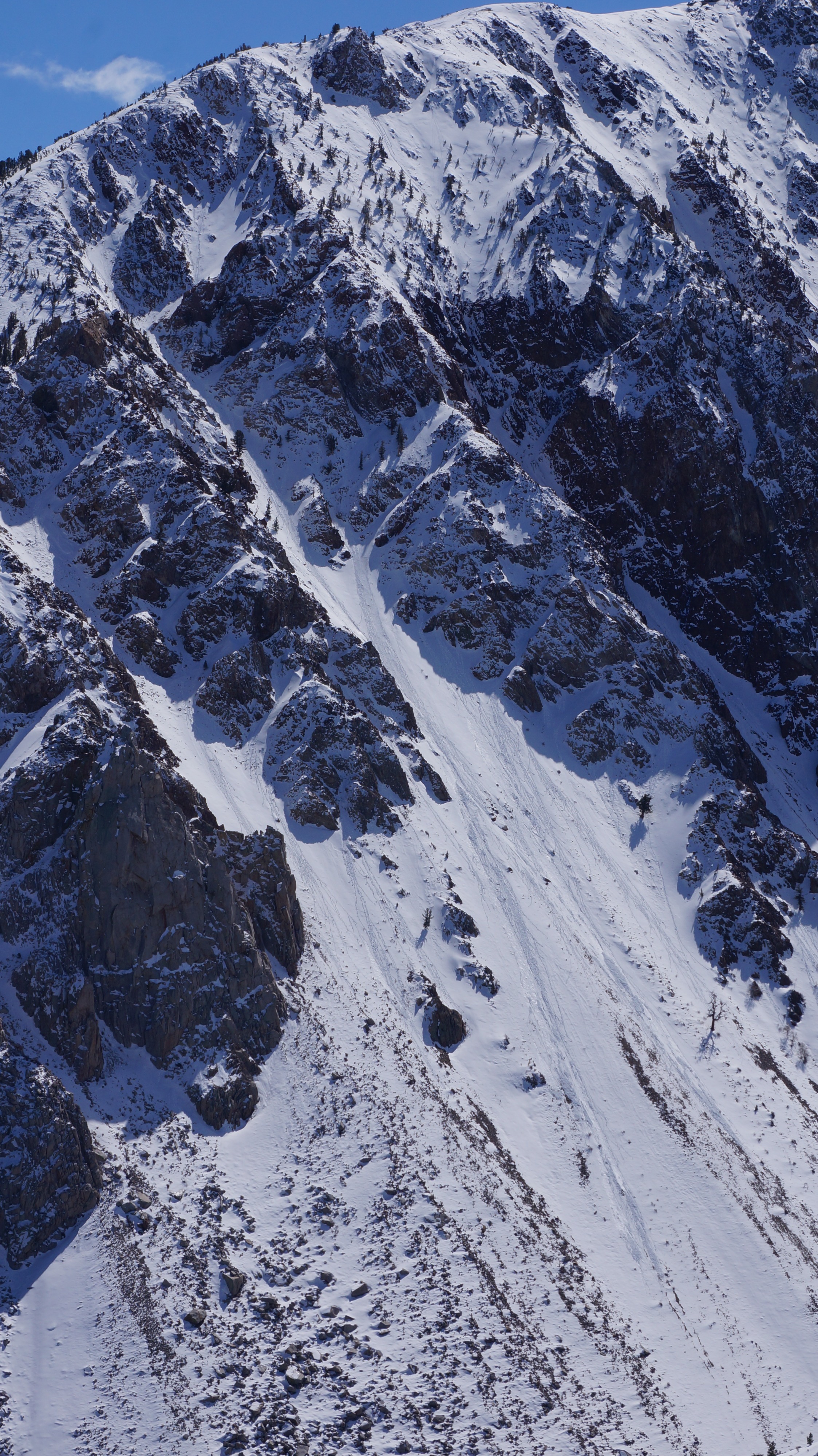
Multiple fresh, small wet loose avalanches were visible from our tour today. Largely below rock features, and on E - S - W aspects. Where we traveled we experienced heavy snow, wet snow, crusts, cold, dry snow, and surface hoar. We were not on lower E - S slopes during peak warming. The snowpack was wet to the ground below ~ 9000' feet and unsupportable in flat terrain.Weather
- Cloud Cover
- scattered
- Recent Snowfall
- Trace
It was very warm at the trailhead. At 9700, 12:00, the temperature was 36 degrees. At 11000, 14:00, the temperature was 32 degrees. At 12000, 15:00, the temperature was 27 degrees. Clouds and light winds from the NE picked up at the highest elevations as the day continued. We could see isolated areas of heavier cloud cover. Back at the trailhead near 4 pm, temps were in the 40s.
Snowpack
Various snow depths and surfaces. At 11,000, HS 165 cm, F-4F layer of snow grains exists at the bottom of the snowpack beneath a harder layer of snow, and a smattering of MF crusts on an E aspect.
Avalanche
- Size
- D1 R1
- Type
- WL
- Count
- 3
- Aspect
- SE
- Trigger
- N
- Elevation
- 11400 ft
Multiple wet loose avalanches observed from the last 24 hours.