
Quick report
I jumped on some wind-affected test slopes and saw only isolated, localized cracking immediately beneath me.
Weather
- Air Temp
- Below Freezing
- Cloud Cover
- clear
- Wind Loading
- moderate
- Rain Elevation
- NA
- Recent Snowfall
- 85
- Snow Avail For Transport
- large amounts
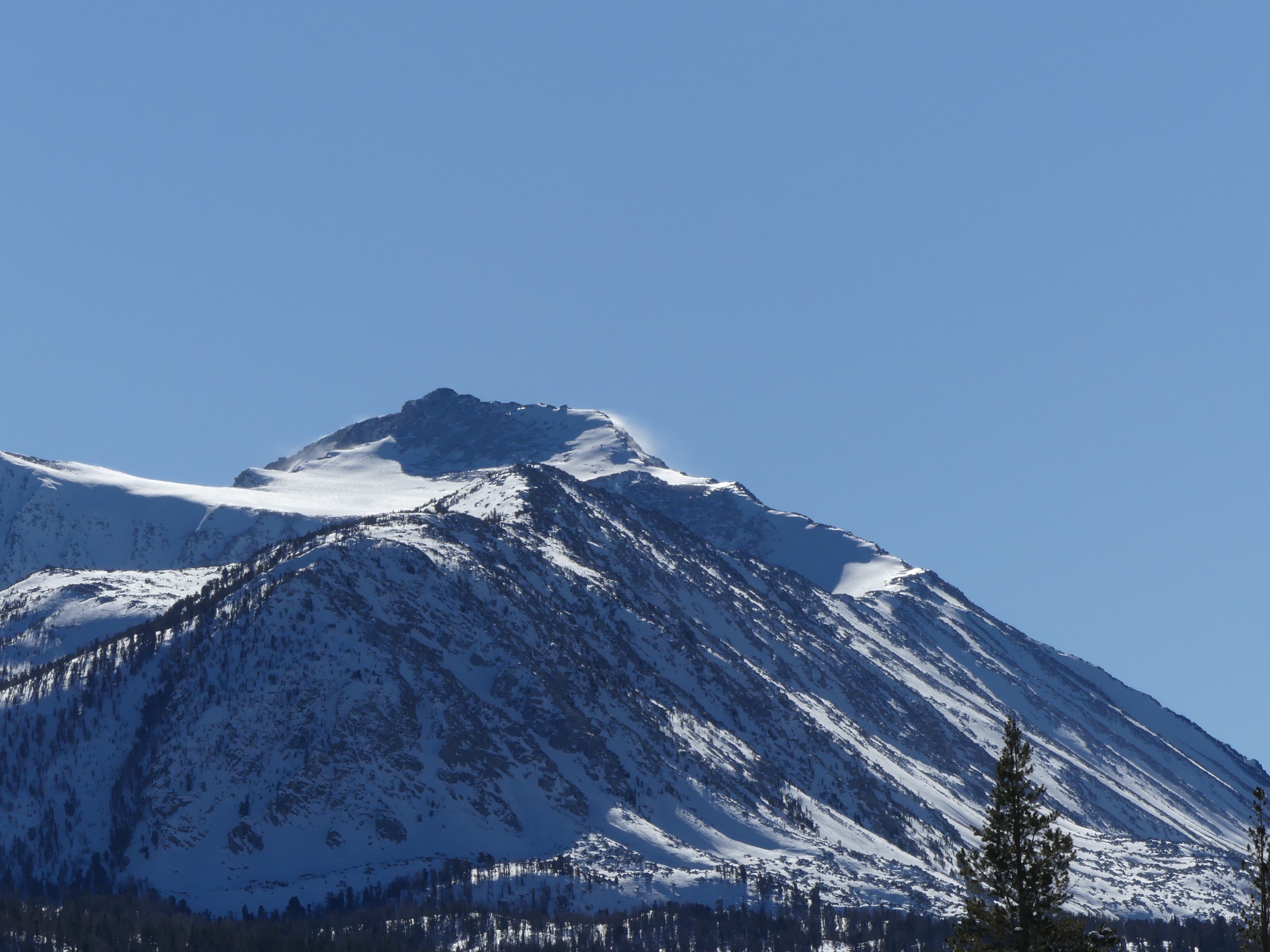
Northeast winds increased below treeline late morning to early afternoon. They were already strong at upper elevations where they were stripping snow off the highest peaks. The sun felt warm, but seemed to have no effect on the snow surface with the cold temps.
Snowpack
While in open areas, the top 2-6 inches of the snowpack had been stiffened by the wind (4 finger), most of the new snow was soft (Fist hard) from the surface down. Some density changes from in-storm are still apparent, but I didn't get any signs of instability while just walking around with skis on.
There's up to 85 cm (almost 3 feet) of new snow at the East Fork trailhead in Rock Creek.
Avalanche
- Size
- D1.5
- Aspect
- NE
- Trigger
- N
- Elevation
- 11000 ft
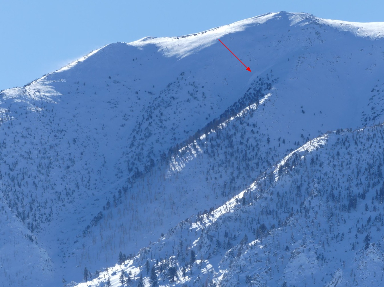
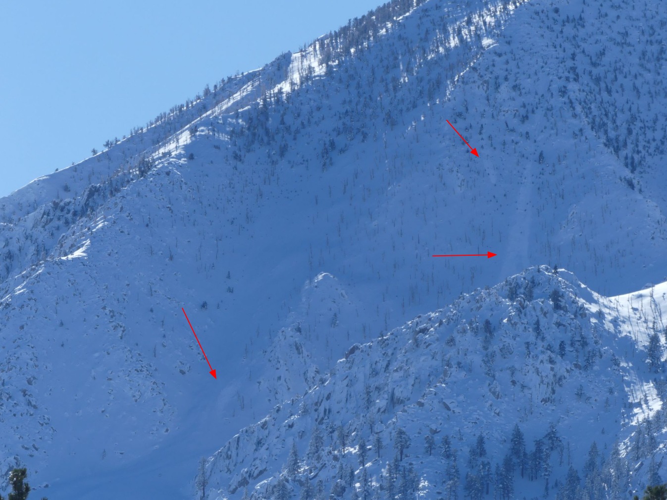
I took lots of photos of the Bishop skyline this morning and saw lots of things that looked like avalanche debris or crowns buried during the storm by new and wind-drifted snow. The avalanches I listed here are only the most obvious ones of which I can be most certain.