
Quick report
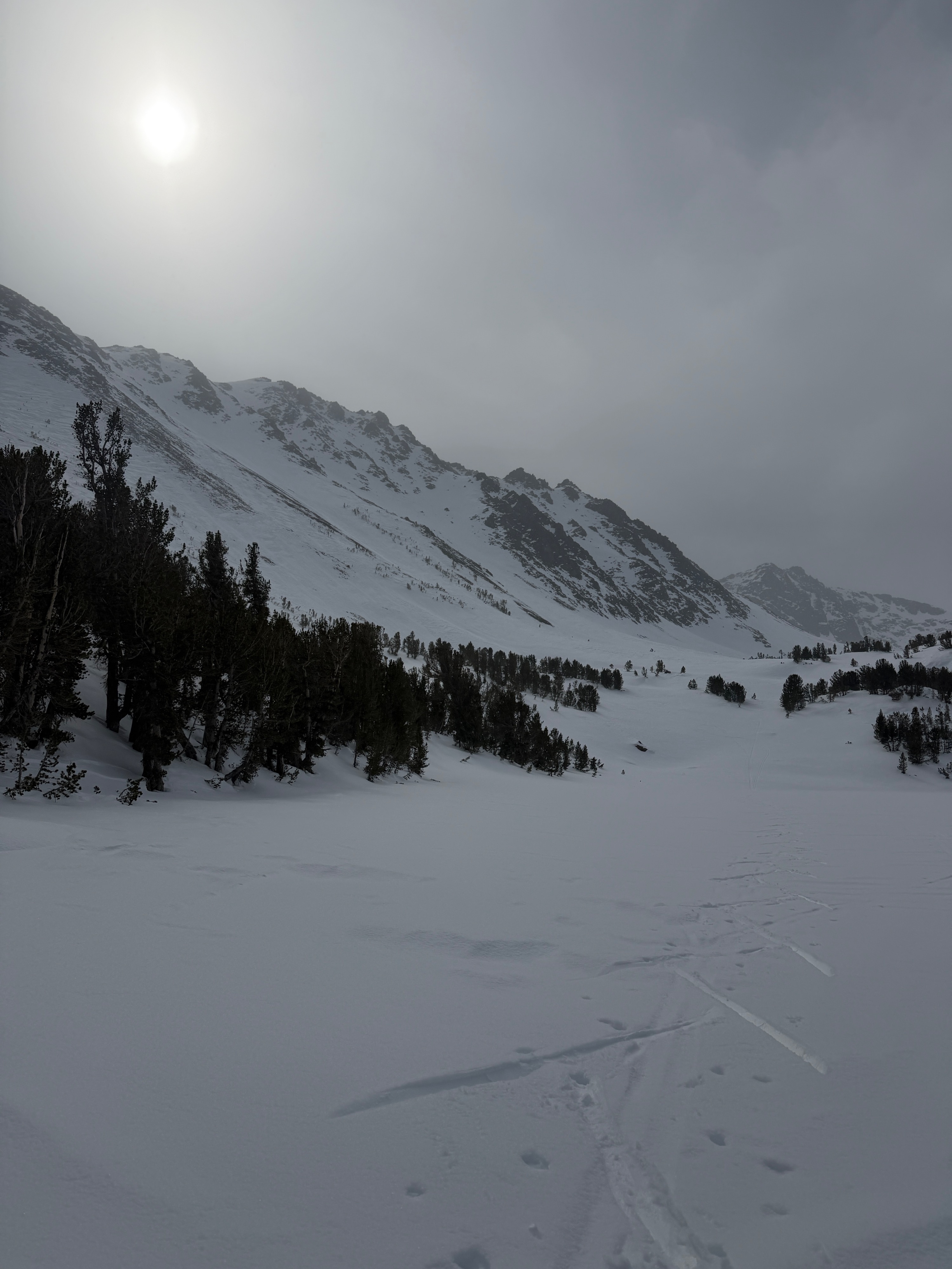
I went out to the Virginia Lakes area today, as I haven't been there in a while. I found generally similar coverage and structure to places north of June and south of Mammoth. Going for a walk with light snowfall and calm winds was a welcome change, but visibility was poor, and a trace to 3cm of new snow helped hide some variability in surface conditions. At low elevations, a minimal overnight freeze and greenhousing led to wet surface snow on all aspects.
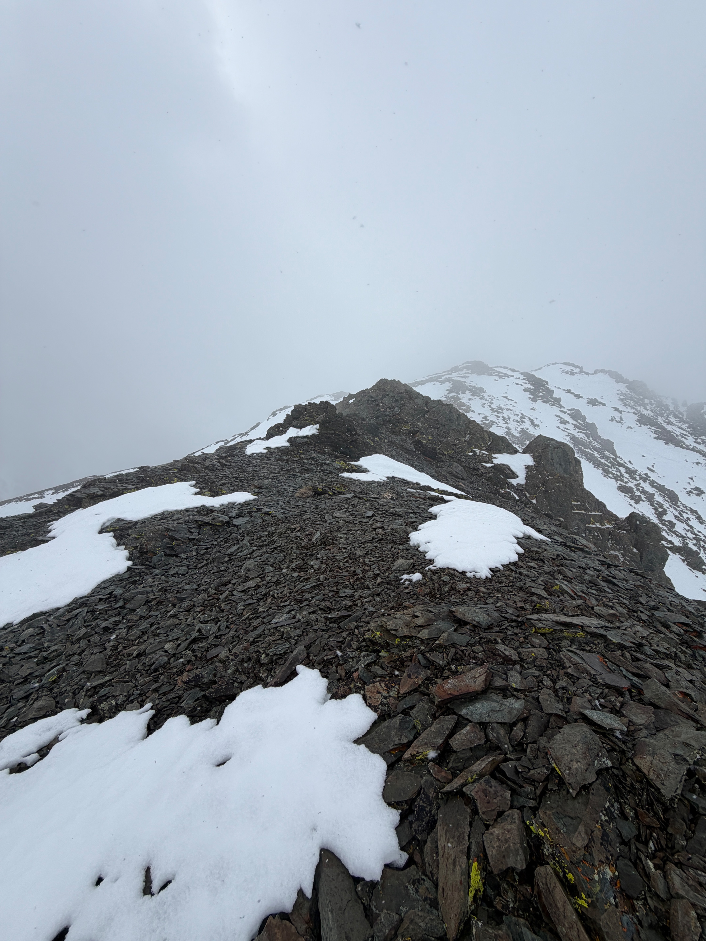
At upper elevations, our snowpack seems to be either firm, old-faceted windboard overlaying large facets, or entirely weak and faceted.
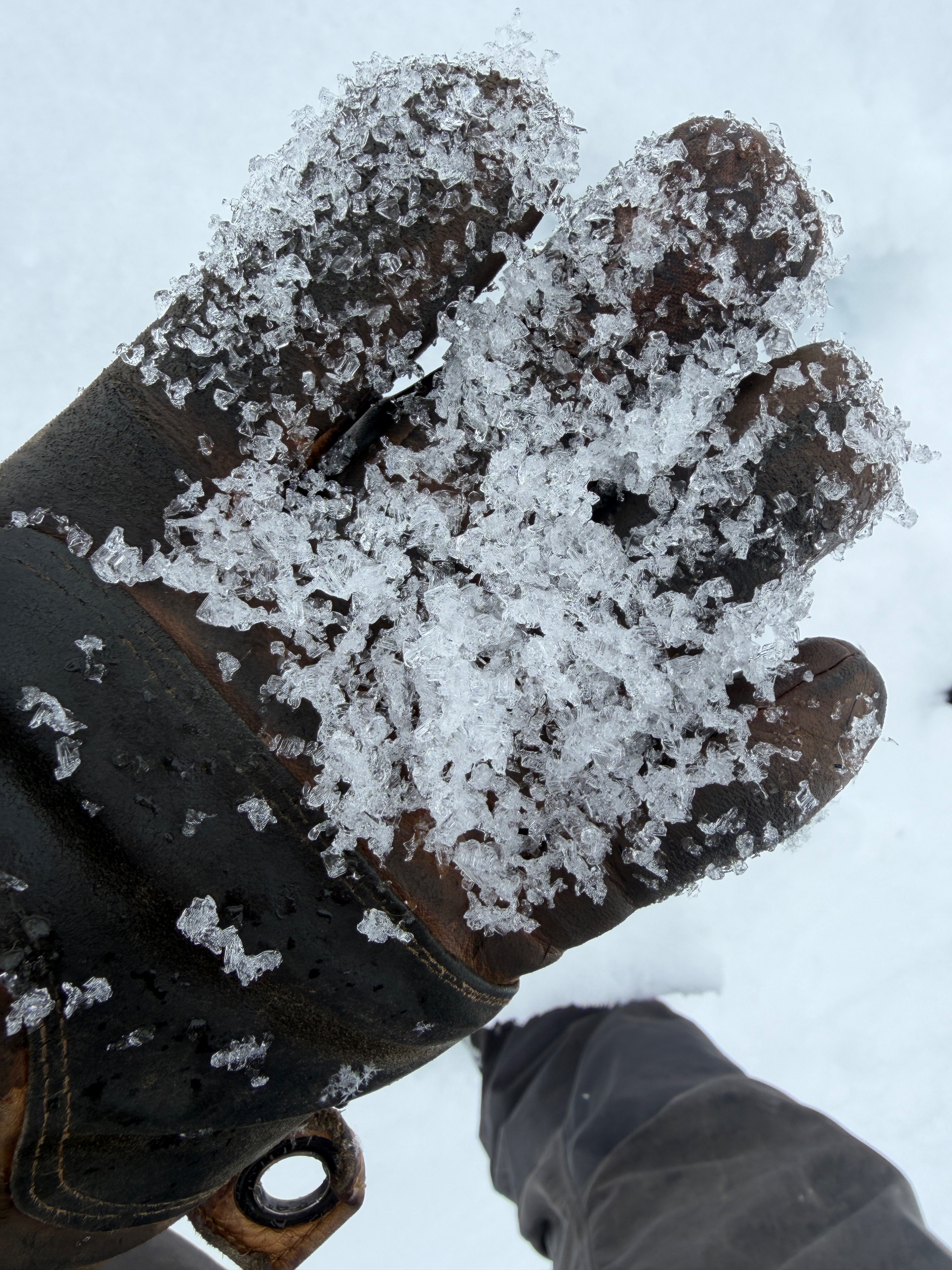
New snow totals were minimal, and I found no signs of instability.
Call me an optimist, but 3cm of snow on firm alpine windboard skis pretty well...
I found no signs of instability.
Weather
- Air Temp
- 39
- Cloud Cover
- overcast
- Wind Loading
- none
- Recent Snowfall
- 3
- Snow Avail For Transport
- small smounts
At 9:15 am, the air was warm (39F) and humid. Temperatures dropped rapidly as light snowfall began around 9:30 am. At 11600' the air temp was 19 degrees F. New snow accumulation above 11000' was 3cm by 12:00 pm. Epic. Winds were mostly calm with the occasional light gust from the northwest at the ridgetop.
Snowpack
- The average snow depth on northerly terrain in the Virginia Lakes area is under 100cm, apart from isolated old wind drifts. Rocks, trees, and open creeks are prevalent hazards.
- Surfaces were generally similar to the last few days, with the addition of a trace to 3cm of new snow at upper elevations, which obscured some texture. I travelled on wet snow down low, a still-frozen melt freeze crust from ~9000' to 9700', and facets or windboard in the alpine.
- I found wet snow at the surface up to 9000'.
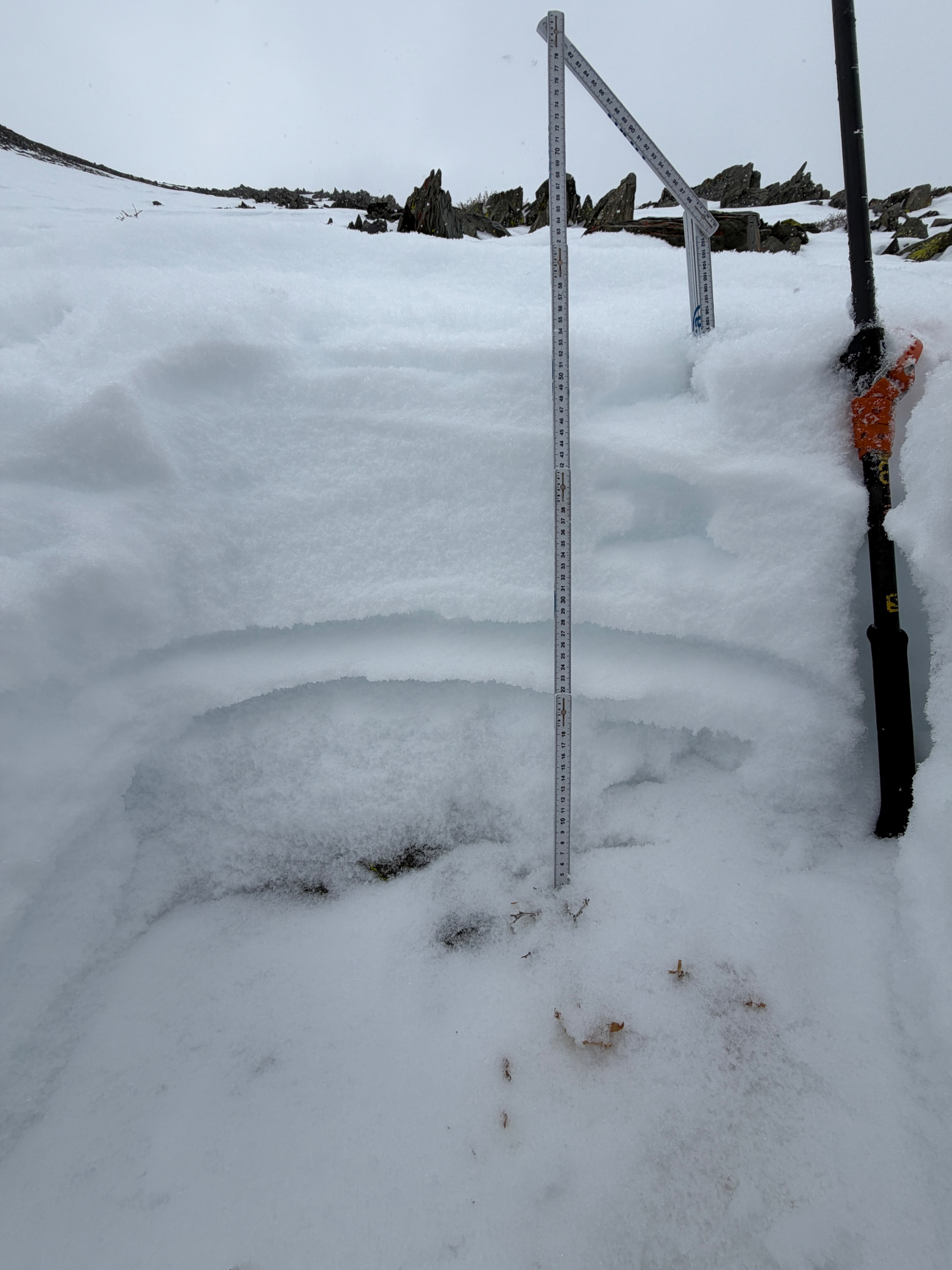
- I found the 1/1 crust down 30cm in a north-facing pocket at 10800'. The total snow depth at this location was 55cm, with large facets above and below the crust.