Wapta
May 11th, 2025 11:00 PM
cmurrayschlitt
Waterton Lakes
Details
Type
quick
Coordinates
51.562202, -116.454131
Quick Observation
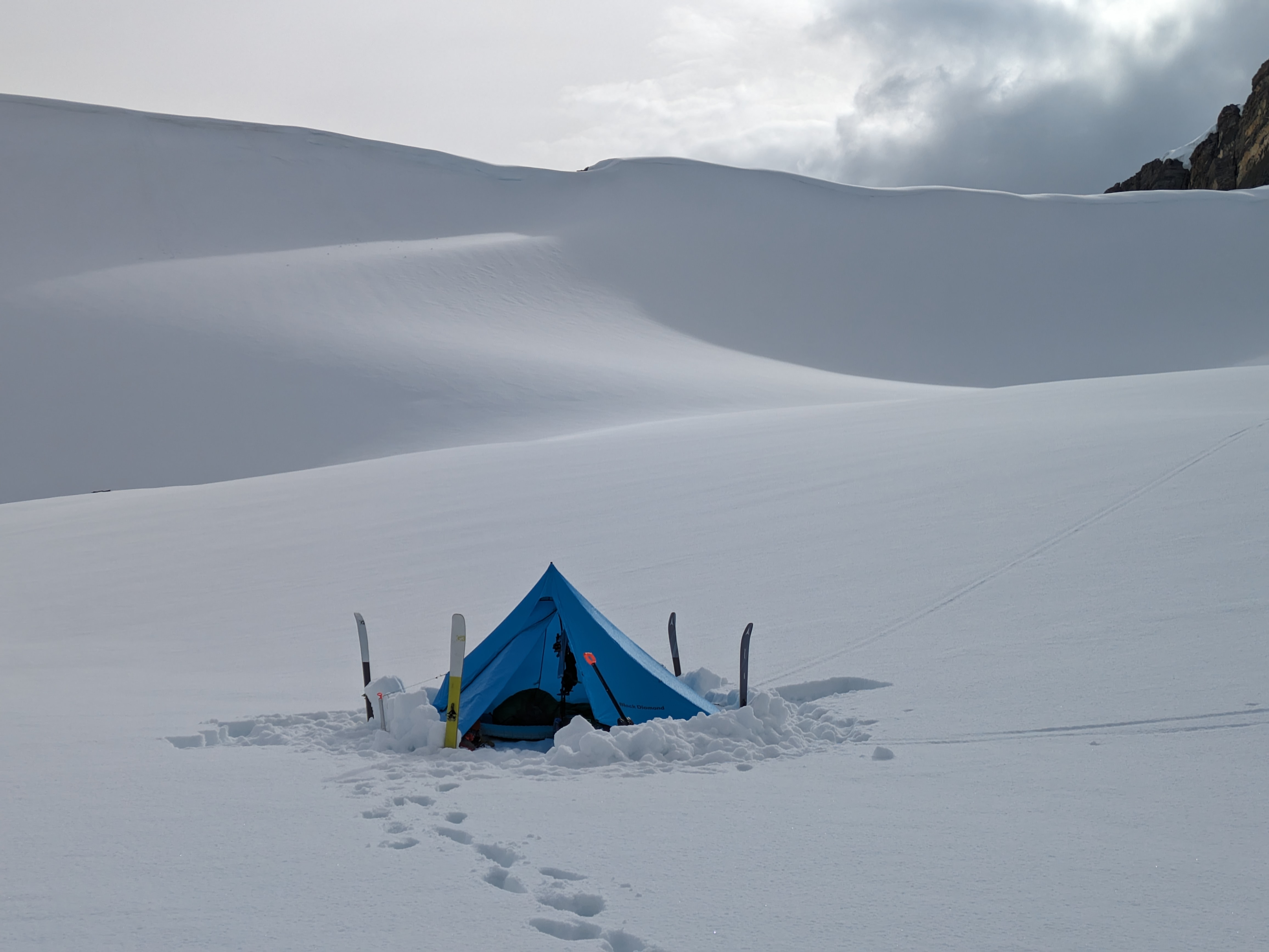
Skied the Wapta starting from Bow. Thin ice on Bow lake so we skied around on the summer trail. We made it through Bow canyon with dry feet rockhopping and on thin snowbridges but by today the bridges are probably gone. Water shoes recommended.
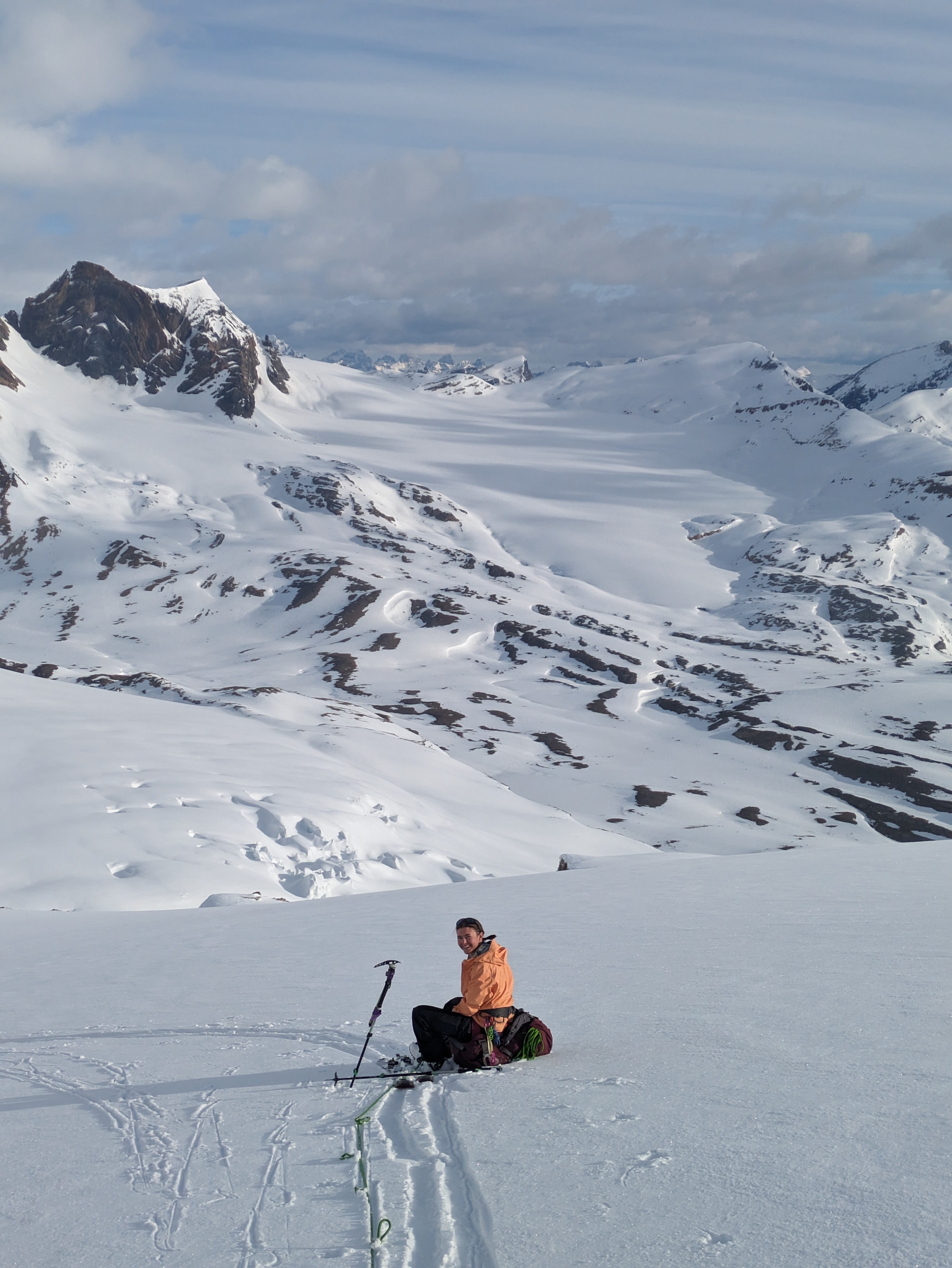
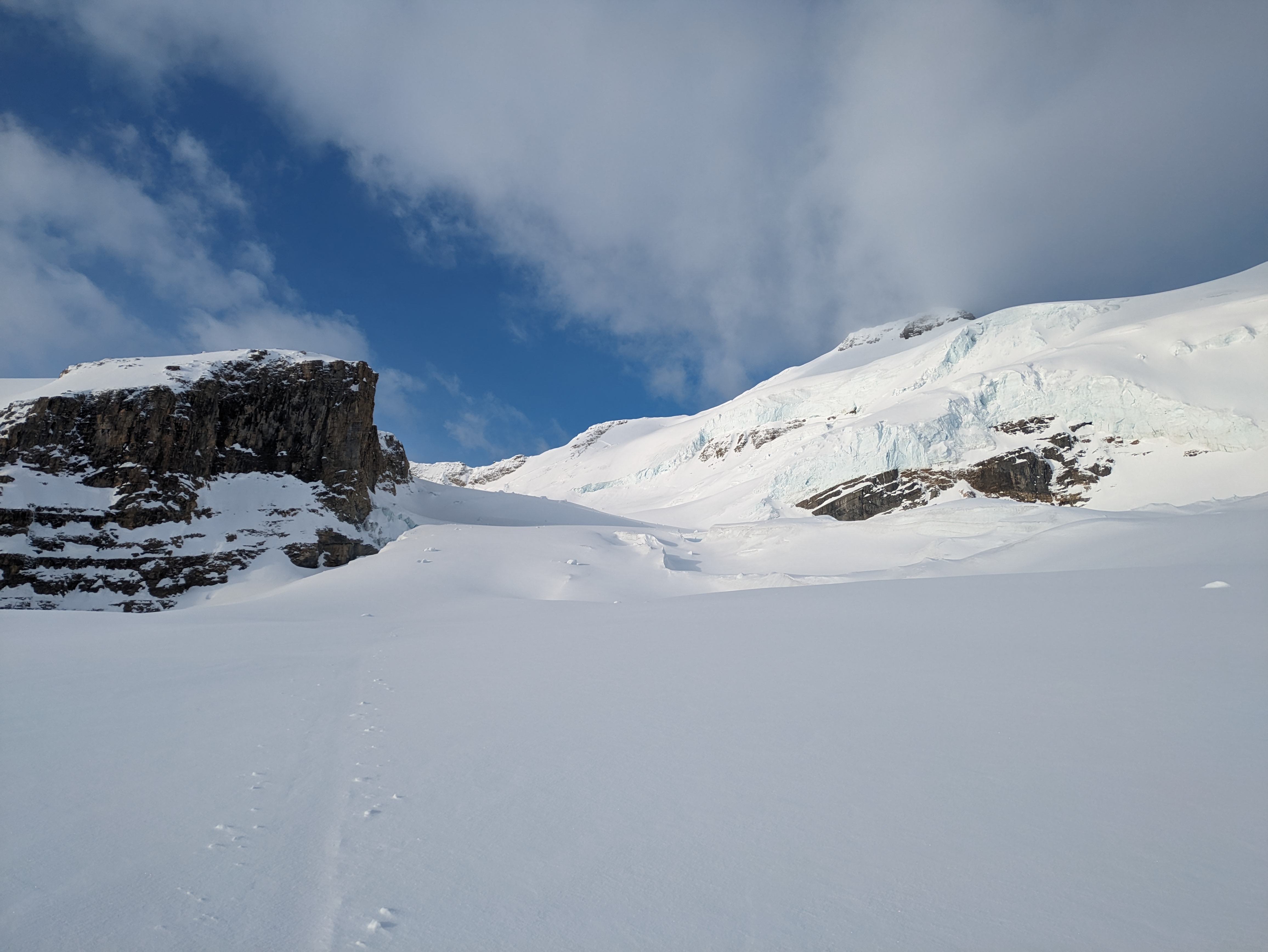
Average ~250cm coverage on the icefields, on Balfour col we took the route near the Nunatak and had no problems. Snow still dry on high North, wind/sun affected and variable elsewhere.
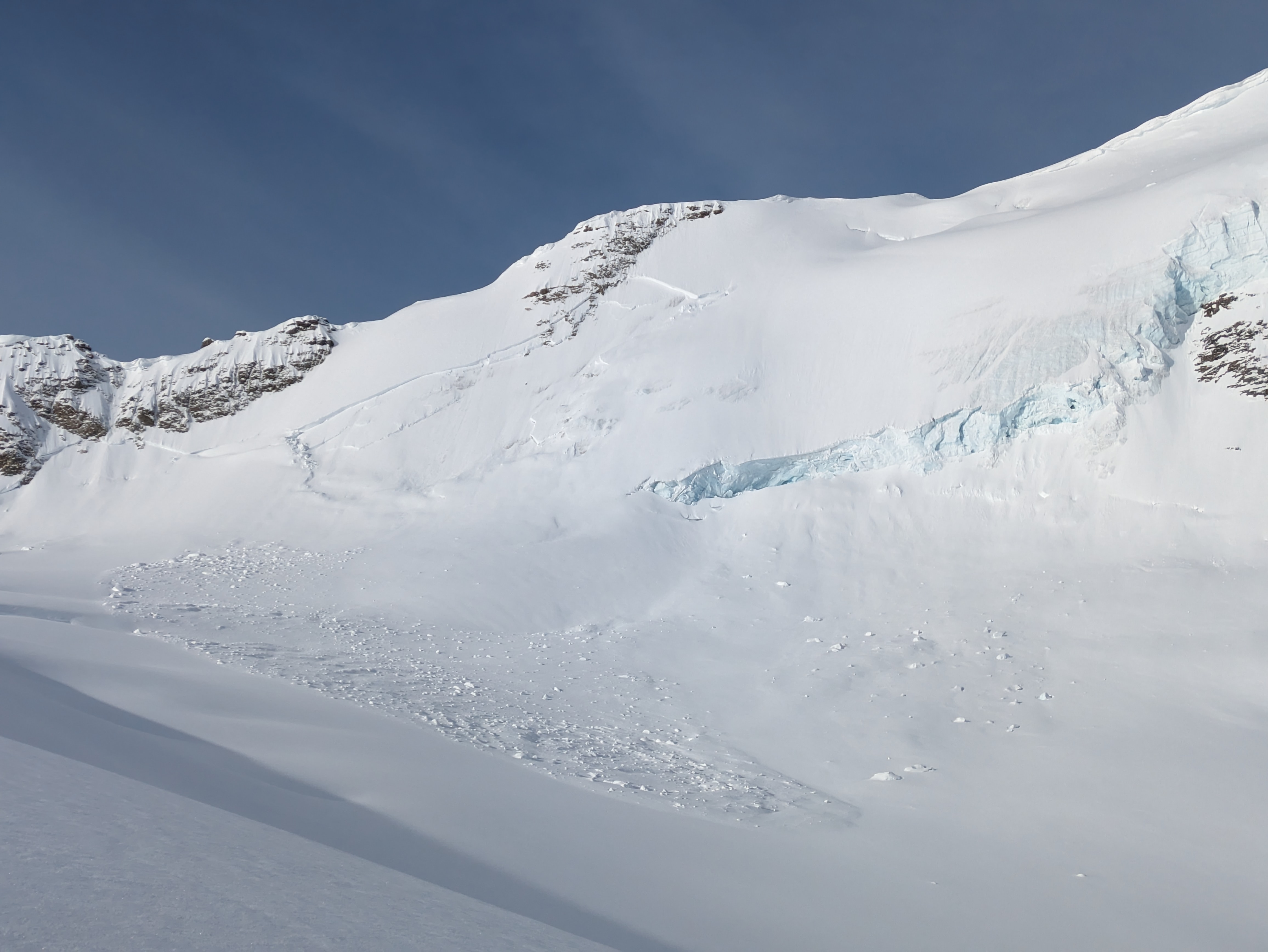
Big crown line and debris from cornice triggered size 3 on May 1st running off of Balfour
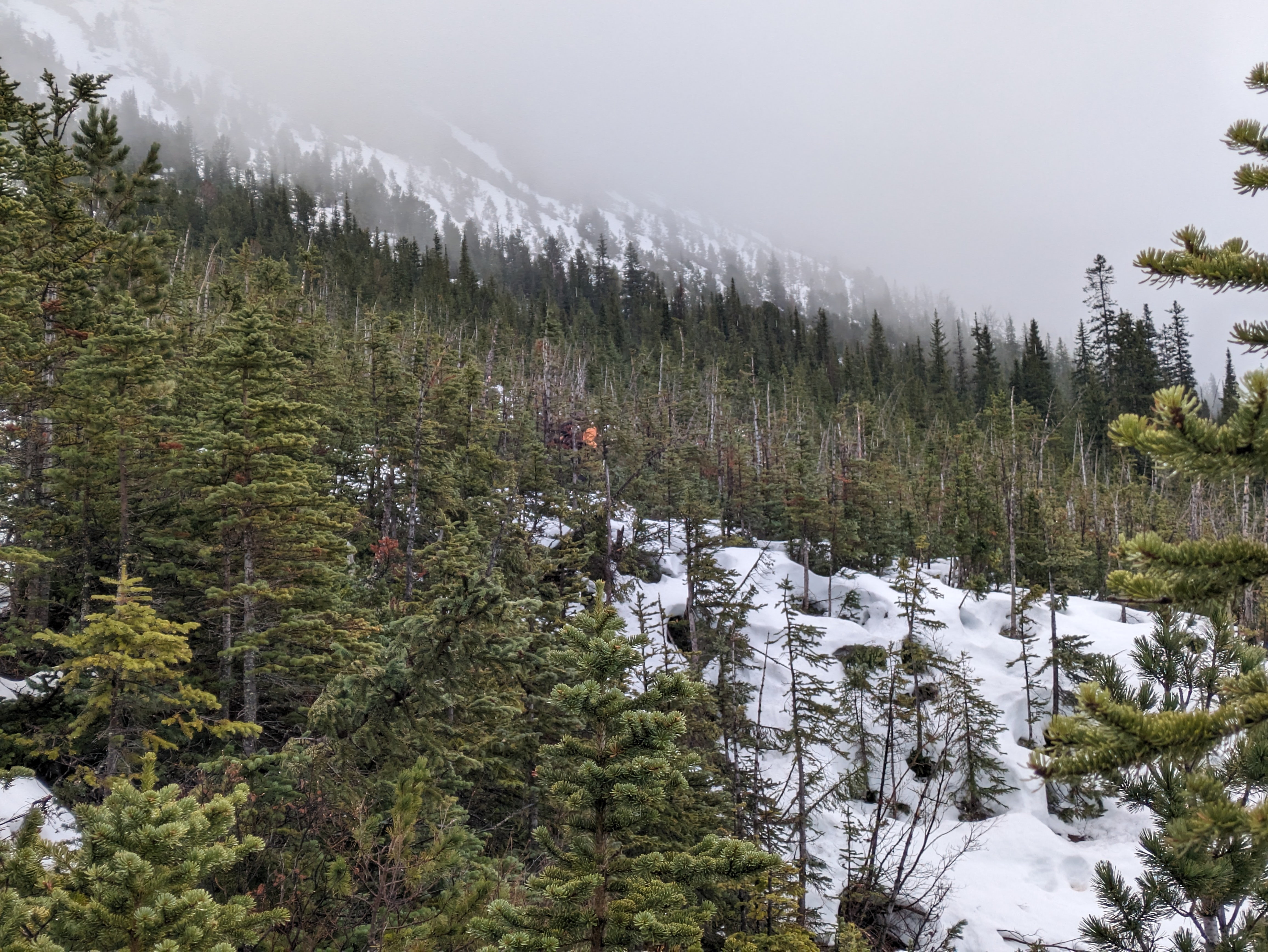
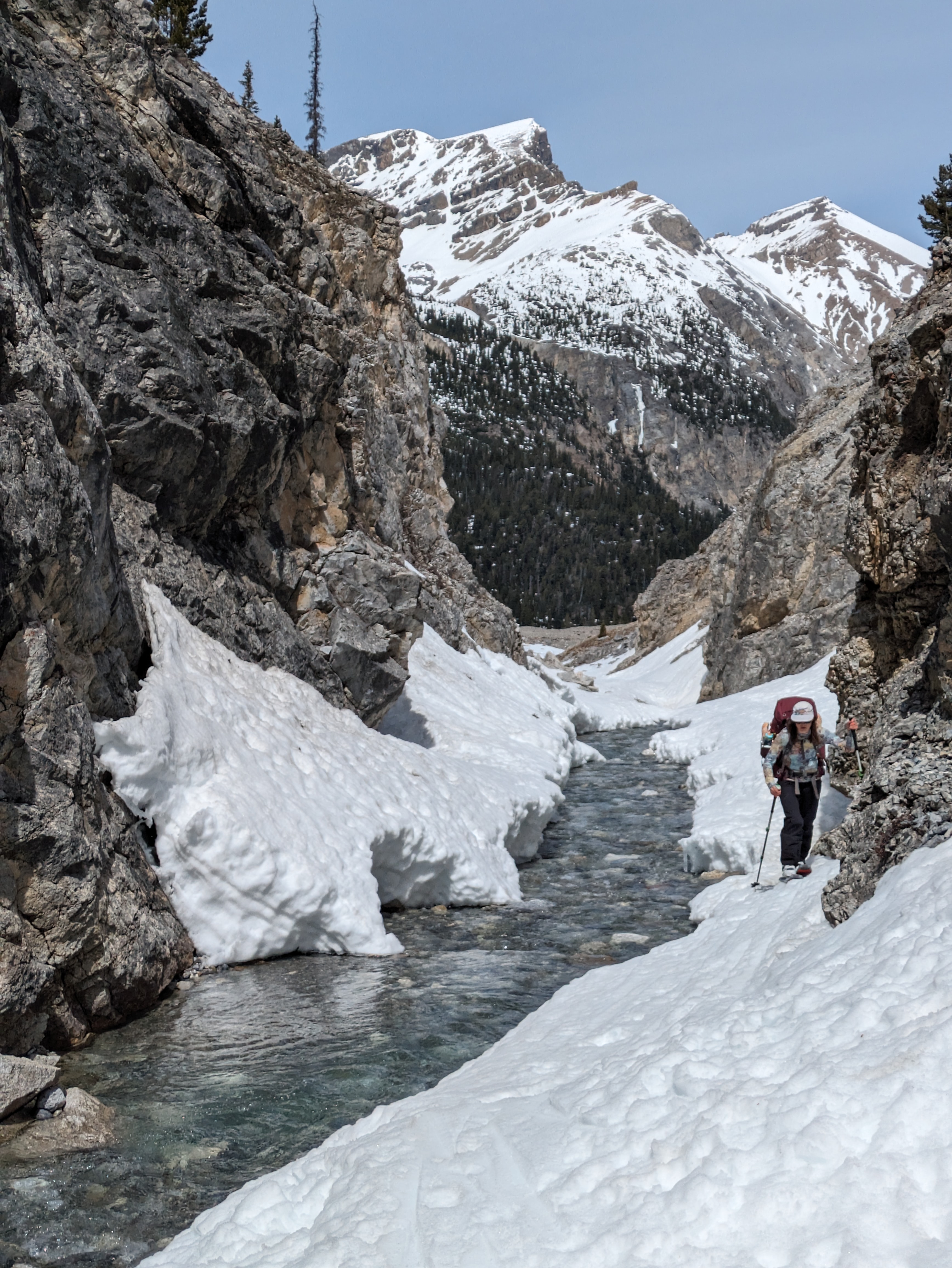
Descending via Sherbrooke creek took about half a day, found ok coverage down to upper meadows. Avoided the canyon before Sherbrooke lk by going East through the trees. No snowbridges left in the canyon and looks like a rappell would be required to get past the cliffbands near the waterfall.
At Sherbrooke lake we saw wet looking tracks from previous skiers that broke through the ice, we followed the summer trail along the shore.
Not enough snow to ski below Sherbrooke lake, we walked for the last ~2.5k.
Photos (6)