Angus
Feb 24th, 2025 1:00 PM
AMcLeod
St. Mary
Details
Type
quick
Coordinates
49.536531, -116.124267
Avalanche Information
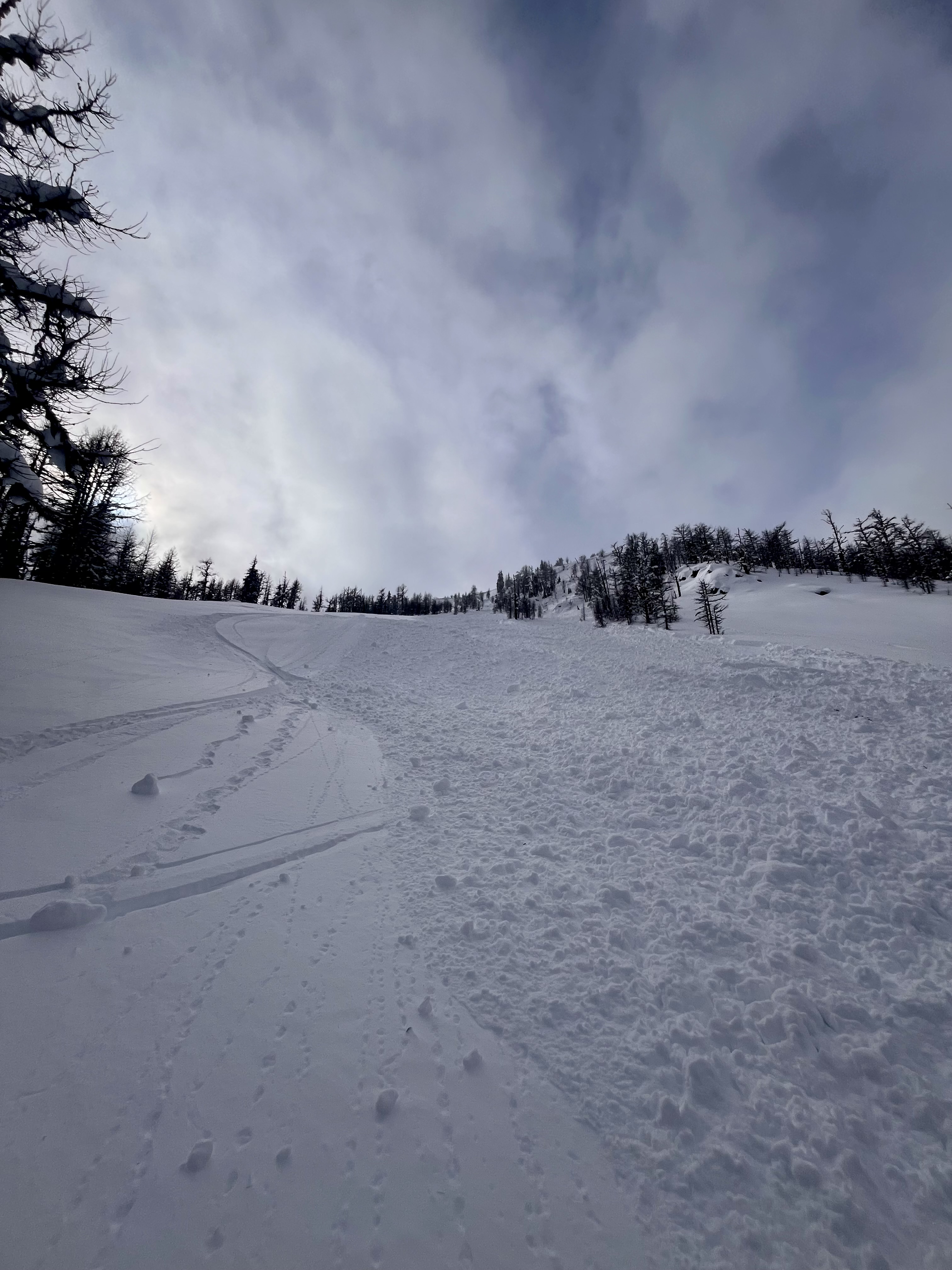
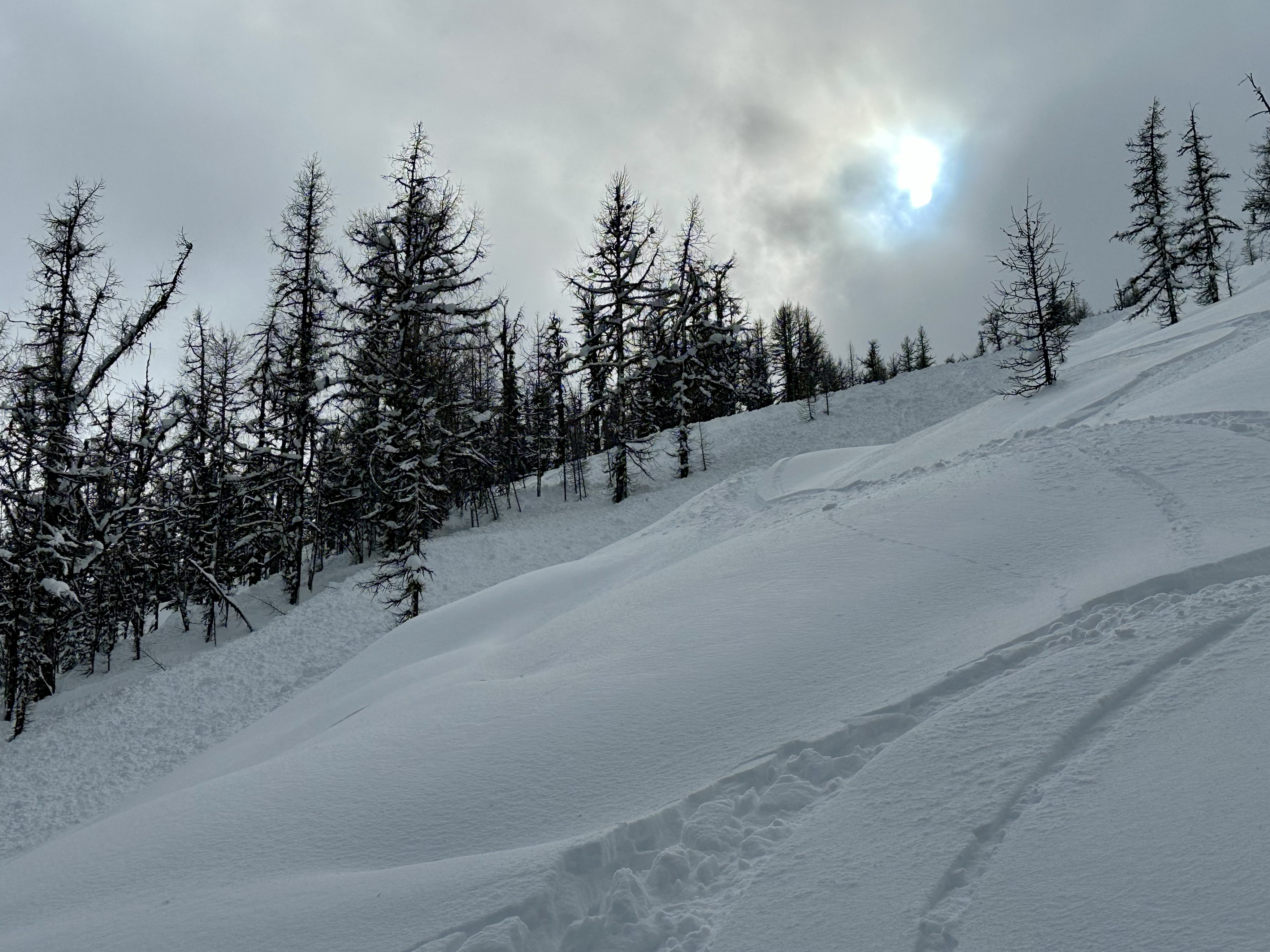
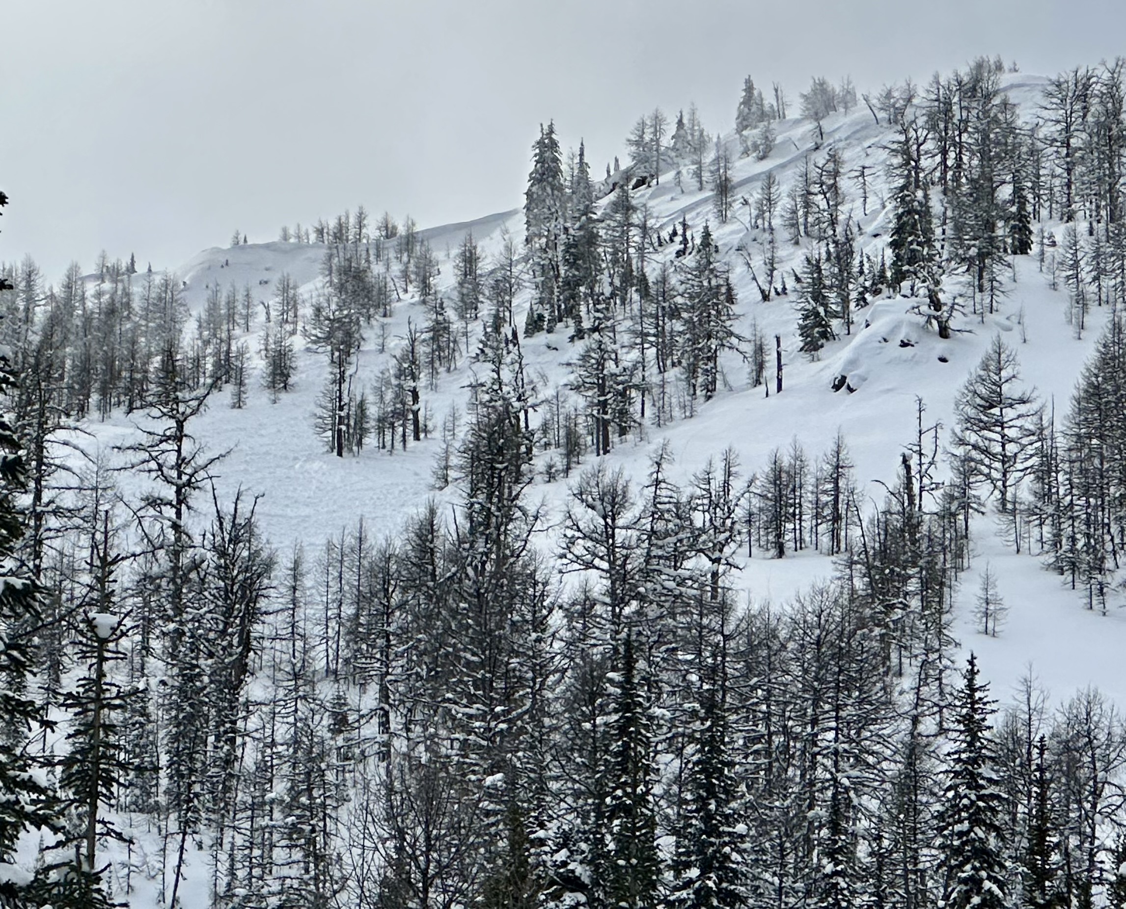
Remote triggered the steep lee ridge feature above our ski line on the last run of the day. Debris travelled over many of the ski tracks on the open slope below that we had previously laid down.
Pushing close to steeper wind loaded terrain as the day went on was our mistake.
Photos (3)