
Quick report
My goals today were to visit all elevation bands and most aspects. I wanted to monitor surface warming (or lack thereof), and revisit a spot that I've been digging this season to see how the snowpack has changed.
It was obvious right from the start that although tempertures were similar to yesterday, the wind was going to slow the surface warming today. Most aspects and elevations that I travelled on remained firm all day. South and east slopes near and below treeline had a soft window midday. I used both ski and boot crampons.
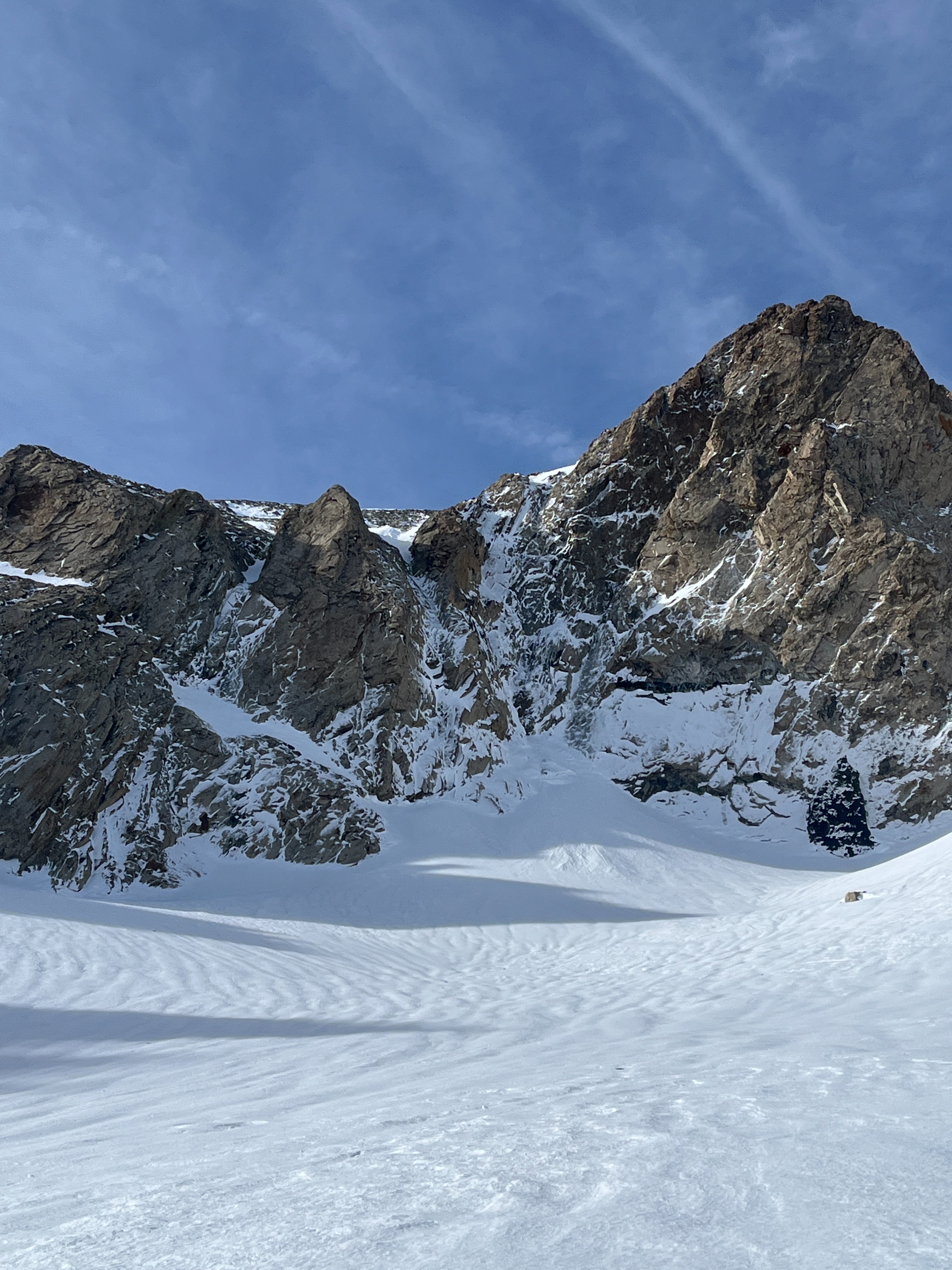
I observed several baseball-sized rocks fall off the warming cliffs above treeline despite the cold winds.
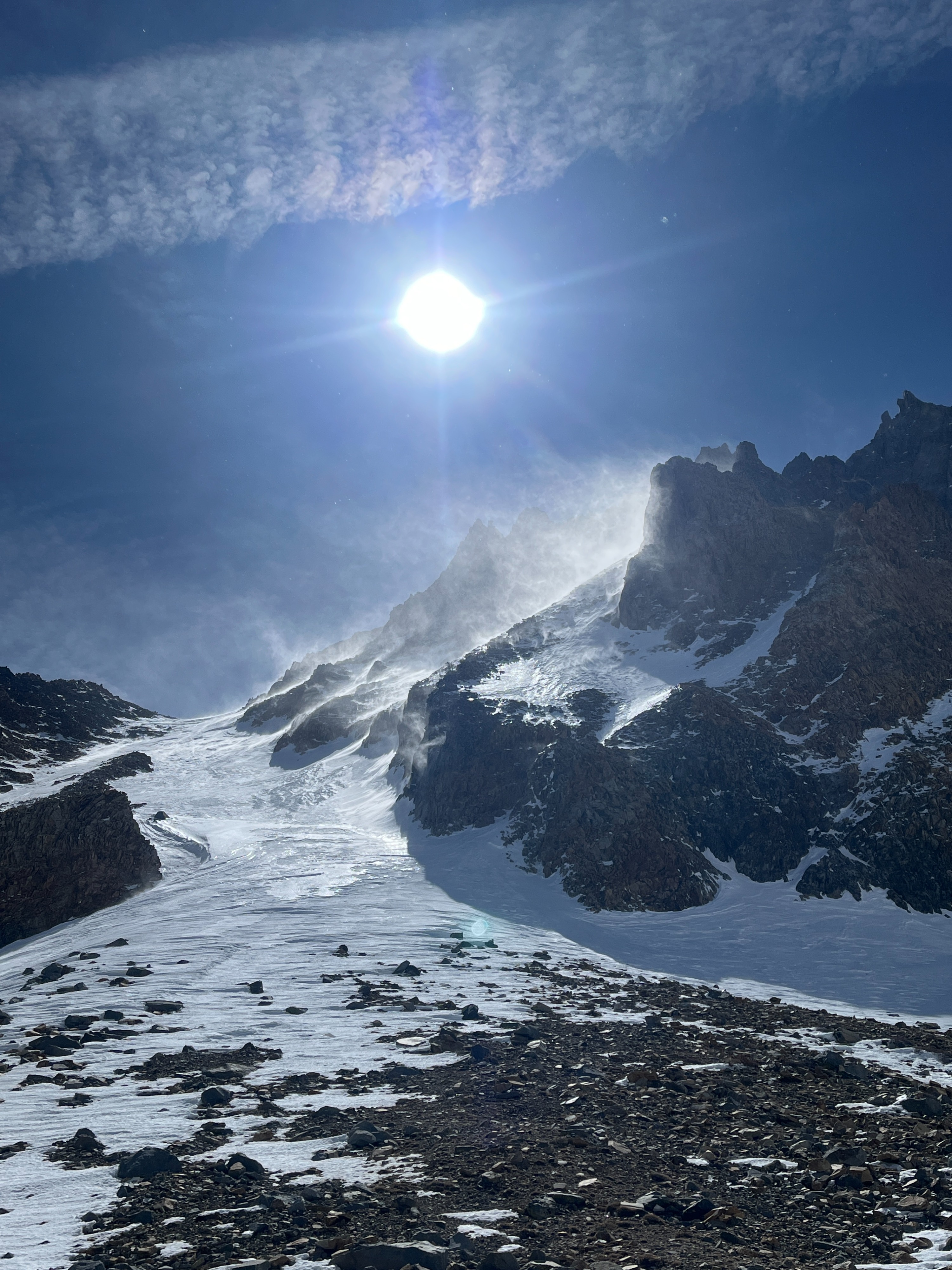
The west winds above treeline were strong and cold. Occasional very strong gusts could throw you off balance if you weren't paying attention.
I was able to connect softening snow for a good portion of my run down, but it involved long traverses between sunny, low angle slopes.
Coverage in this area is still adequate, but becoming quite patchy below 8500 ft.
Weather
- Air Temp
- 40-50
- Cloud Cover
- few
- Wind Loading
- none
- Recent Snowfall
- None
- Snow Avail For Transport
- none
Mostly sunny and well above average temperatures. Winds down low were moderate west gusting to strong. Winds up high were strong gusting to extreme.
Snowpack
I observed no avalanches or signs of instability throughout my tour today. Moderate to strong winds were keeping wet snow problems minimal.
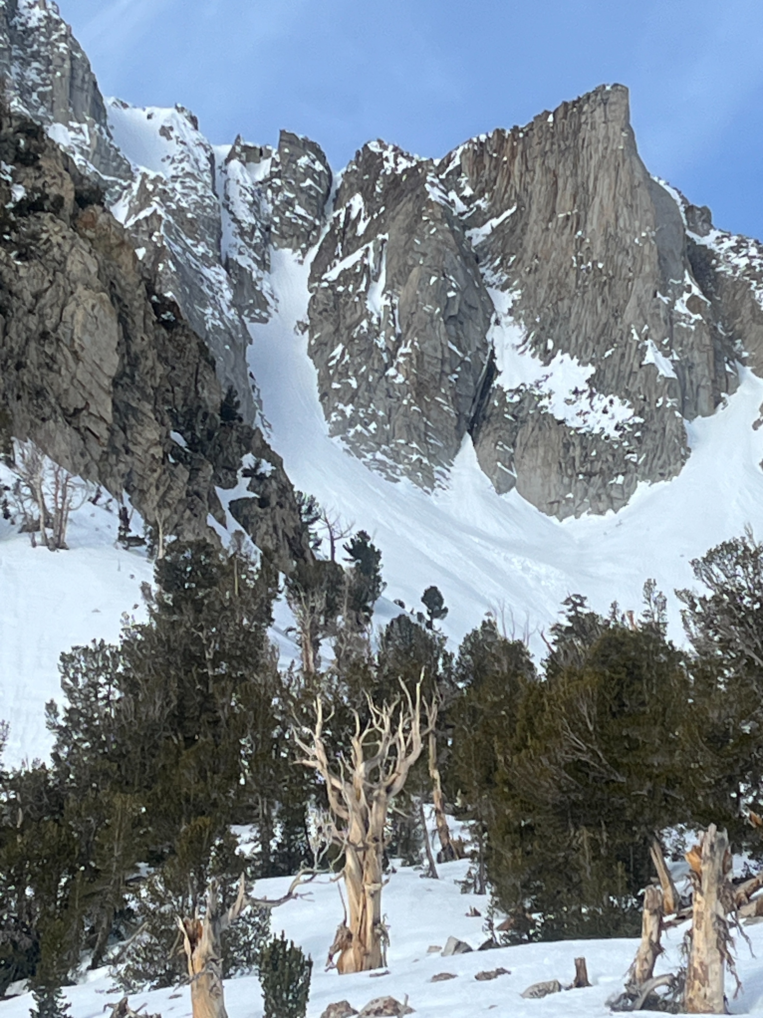
I noticed two recent large cornice falls in the Liberty Chute area, but I cannot say how recent.
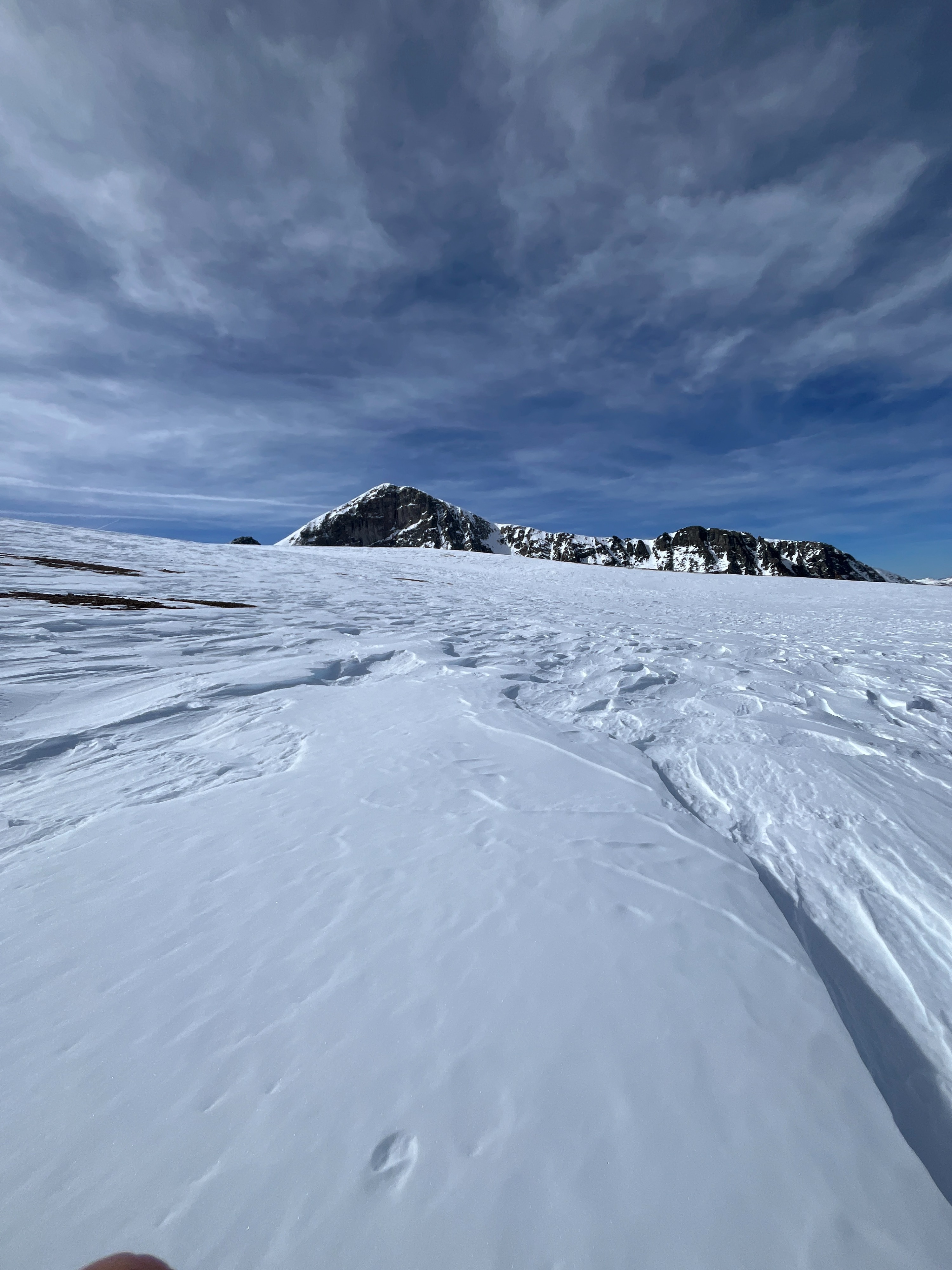
Surface conditions are almost entirely melt-freeze grains, but I did find some cold sastrugi near exposed ridges above treeline.
I dug in at 9150 feet on a northeast aspect.
- HS: 110 cm.
- 15 cm stout melt-freeze crust at the surface.
- Dense, dry wind-packed snow below.
- A very stout ice crust at 75cm, and 10-15 cm of well-developed facets below.
- Flow channels through the upper 40 cm of the snowpack made it pretty hard to make sense of what was going on.