
Quick report
My goals today were to find cold, dry snow on north-facing terrain and to monitor warming through the day.
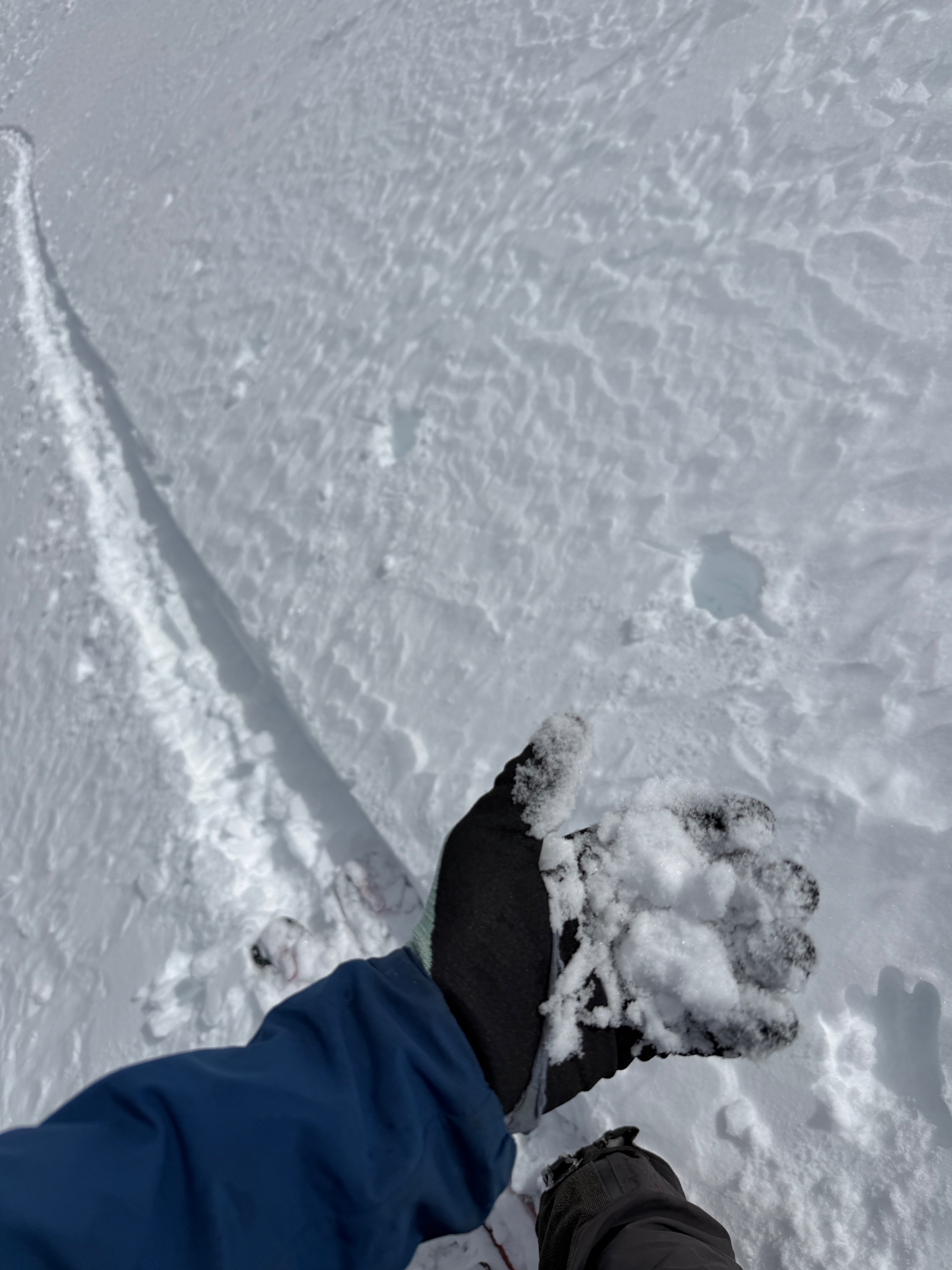
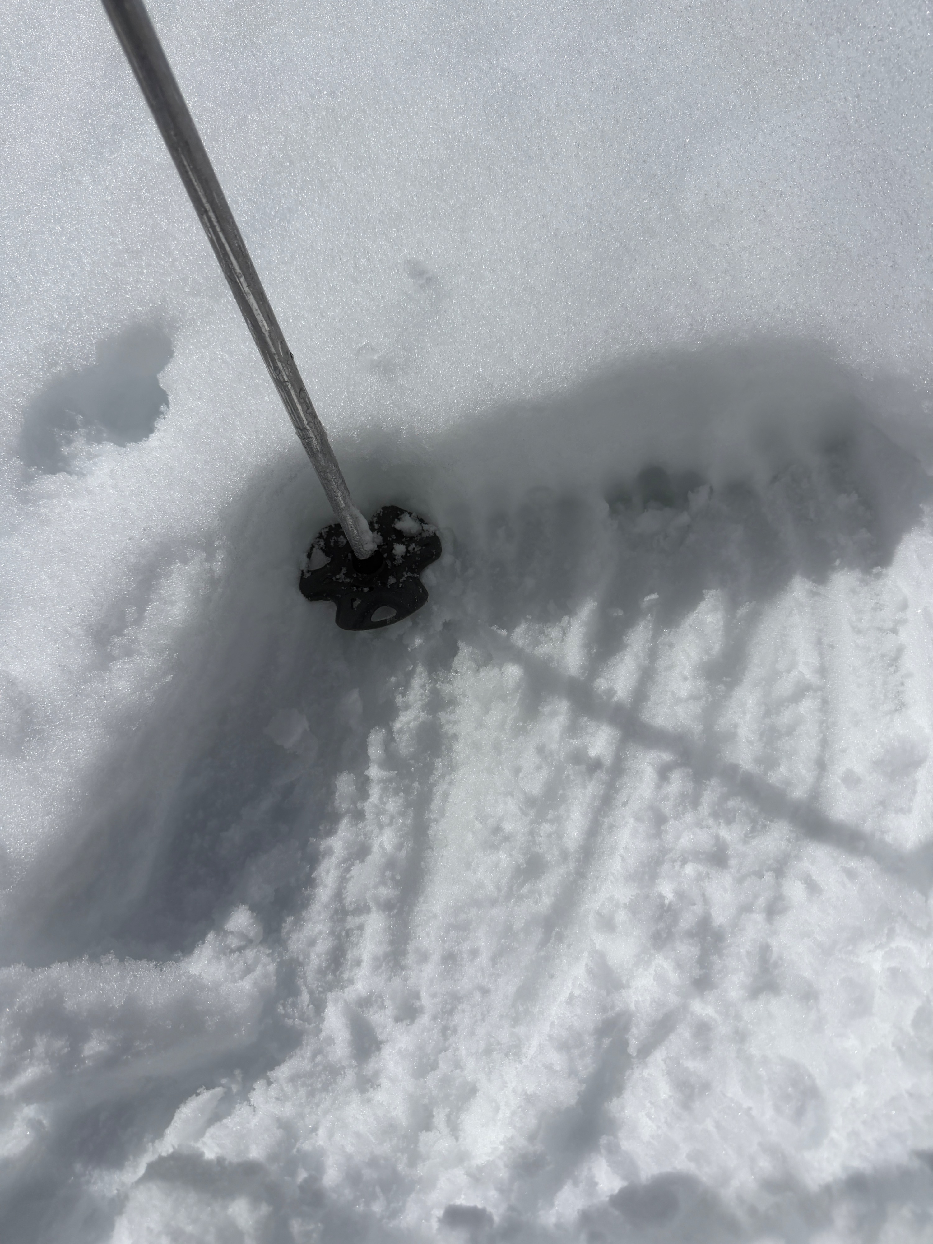
I found cold, dry snow on steeper north-facing slopes above ~9800'. Low-angle terrain and any slopes receiving just a little more sun held a zipper crust at the surface at all elevations, but slightly steeper northerlies held favorable surface conditions.
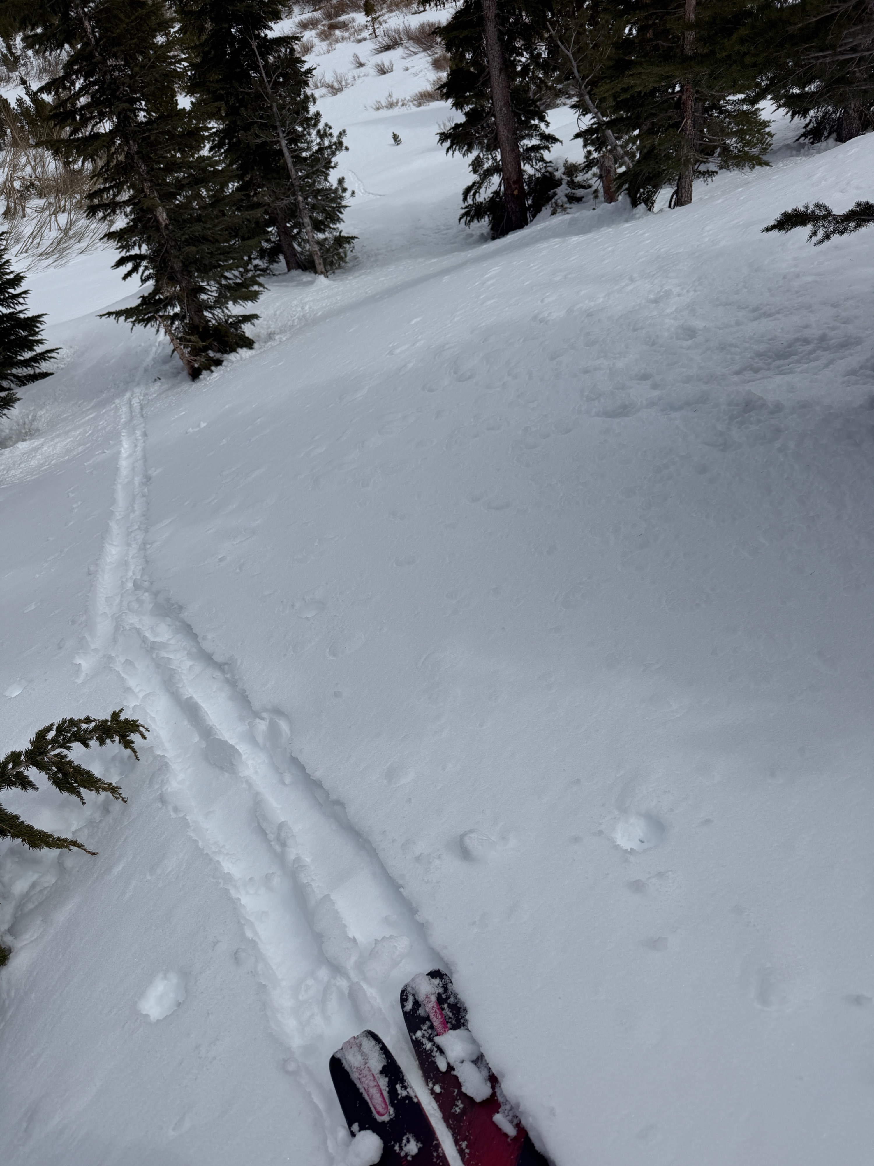
Warming was much slower today than it was yesterday. Significant cloud cover parked east of 395 reduced solar warming this morning, and while air temperatures were above freezing, the thaw was pushed back a few hours. Light southwesterly winds weren't helping. I descended from 11k to 9400' before I encountered wet, transitional snow. Above 9400', all the terrain I touched was either great quality or quite the opposite, and held a still frozen, boot-top-breakable, melt-freeze crust at the surface. Below 9400', ammunition for wet loose avalanches is settling out and on a decreasing trend. Most places only held around 20cm of transitional snow above our old surface at lower elevations.
Natural rollerballs emanating from steep, rocky, east-facing terrain near treeline beginning around 1 pm. I found 10-20cm of wet/ transitional snow below 9400' after 1 pm on all aspects harboring last weekend's snow.Weather
- Air Temp
- 52
- Cloud Cover
- broken
- Wind Loading
- light
- Recent Snowfall
- 0
- Snow Avail For Transport
- small smounts
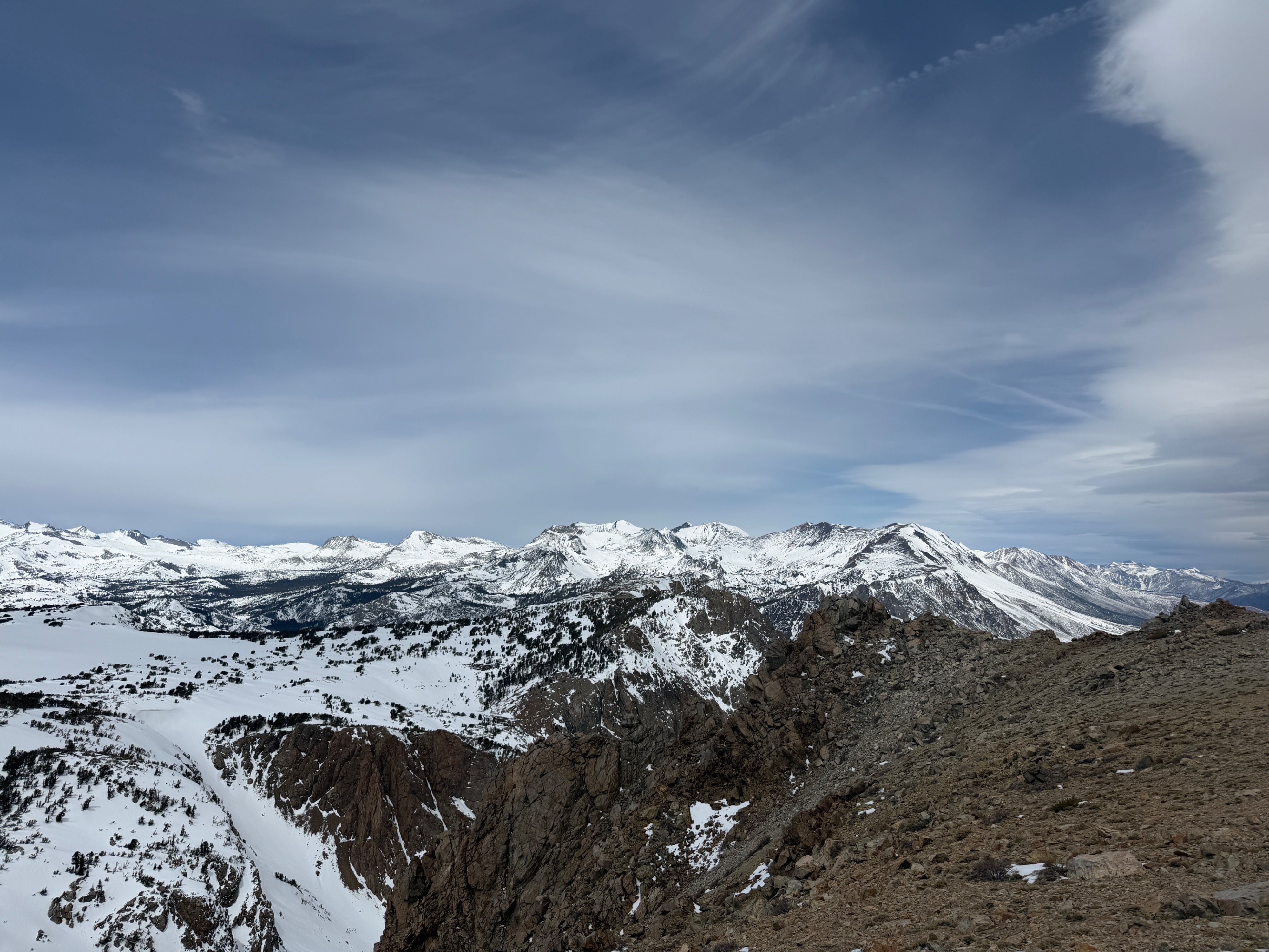
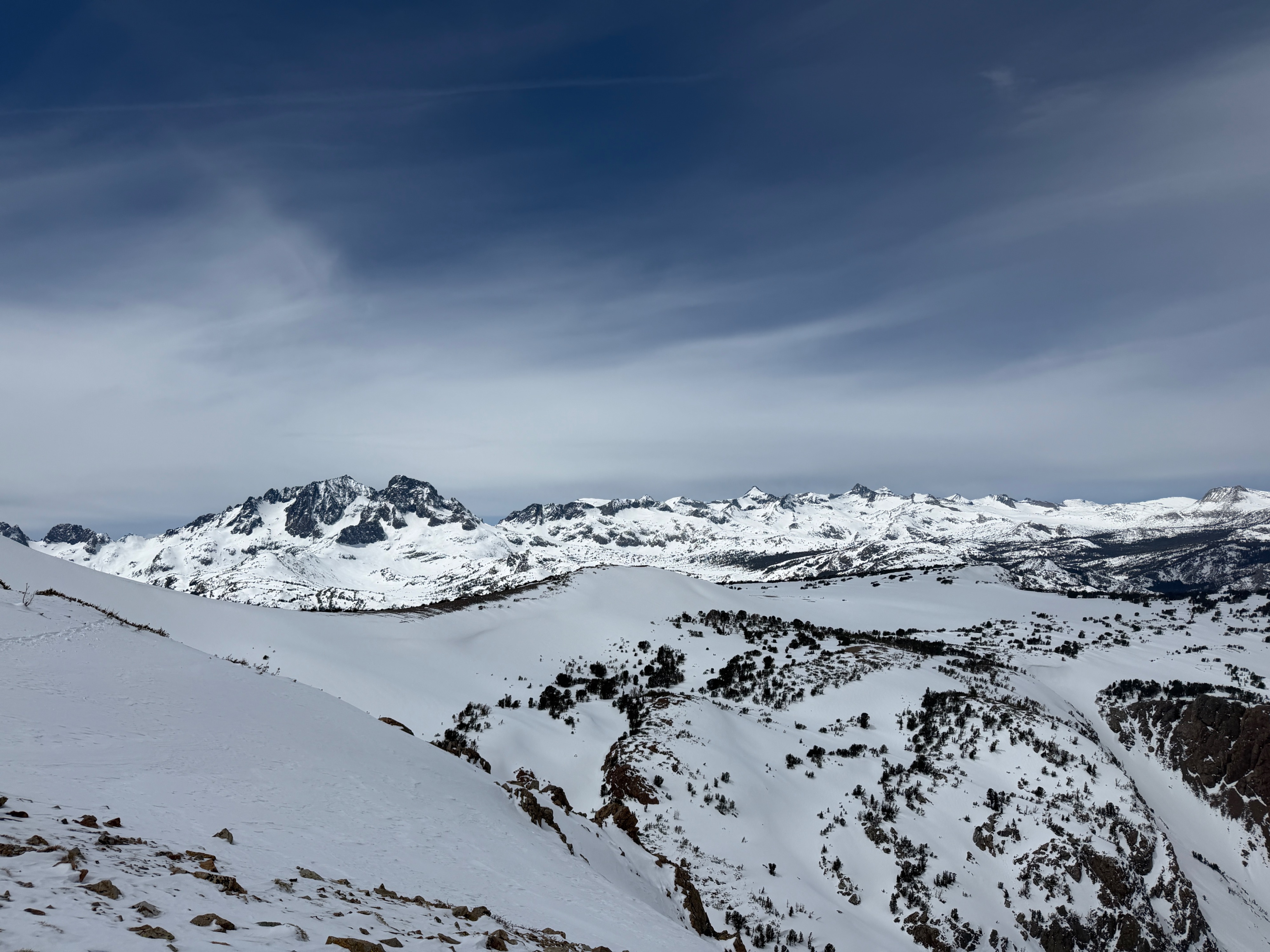
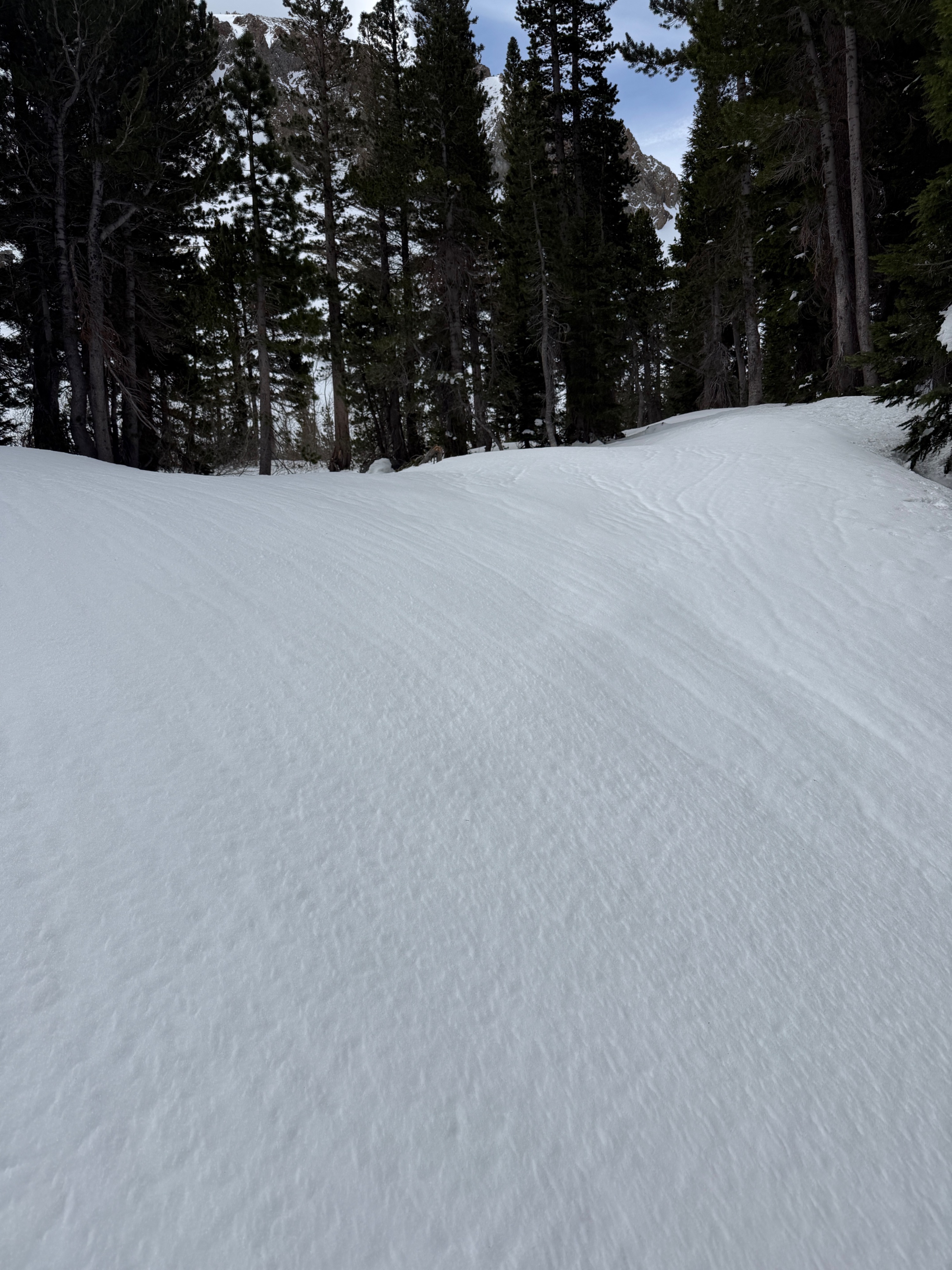
Variable cloud cover. Light southwest winds gusting moderate at ridgetop. Light blowing snow in the alpine loading the northern half of the compass. Temperatures well above freezing at low elevations. I took a shaded air temp at 11029' of 30°F. Wind chill made it feel much cooler all day, and I didn't strip a layer until I was below 9400' around 1 pm.
Snowpack
I found between 5 and 45cm of drifted snow leftover from this past weekend's storm across all elevations. Most of this snow has undergone some amount of melt and refreeze and now has a zipper melt-freeze crust at the surface. This crust was almost supportable while ski touring and ascending, but was a bit of a nuisance for my descent.
Steeper north-facing terrain above 9800' held 45cm+ of cold and dry snow. I was unable to discern a melt-freeze crust at or near the surface on northerlies above this line, but if the slope angle tapered to a lower angle or if I wrapped onto sunny aspects, the melt-freeze crust was immediately apparent.
Light blowing snow was contributing an additional minor refresh to northerly aspects as I broke above 10500'. I did not find any cohesive wind-drifted slab across the terrain I traveled on. I found the general snowpack structure to be right-side-up above our old melt-freeze surface with Fist hard snow near the surface. While I did not find any slab where I traveled, I would be on the lookout for isolated, wind-drifted instabilities in extreme alpine terrain today and tomorrow.
Avalanche
- Size
- D1
- Aspect
- NE
- Elevation
- 9400 ft
Numerous small wet loose avalanches that likely ran late yesterday afternoon on north through east-facing terrain off Carson Peak. 8800-9800'.