
Quick report
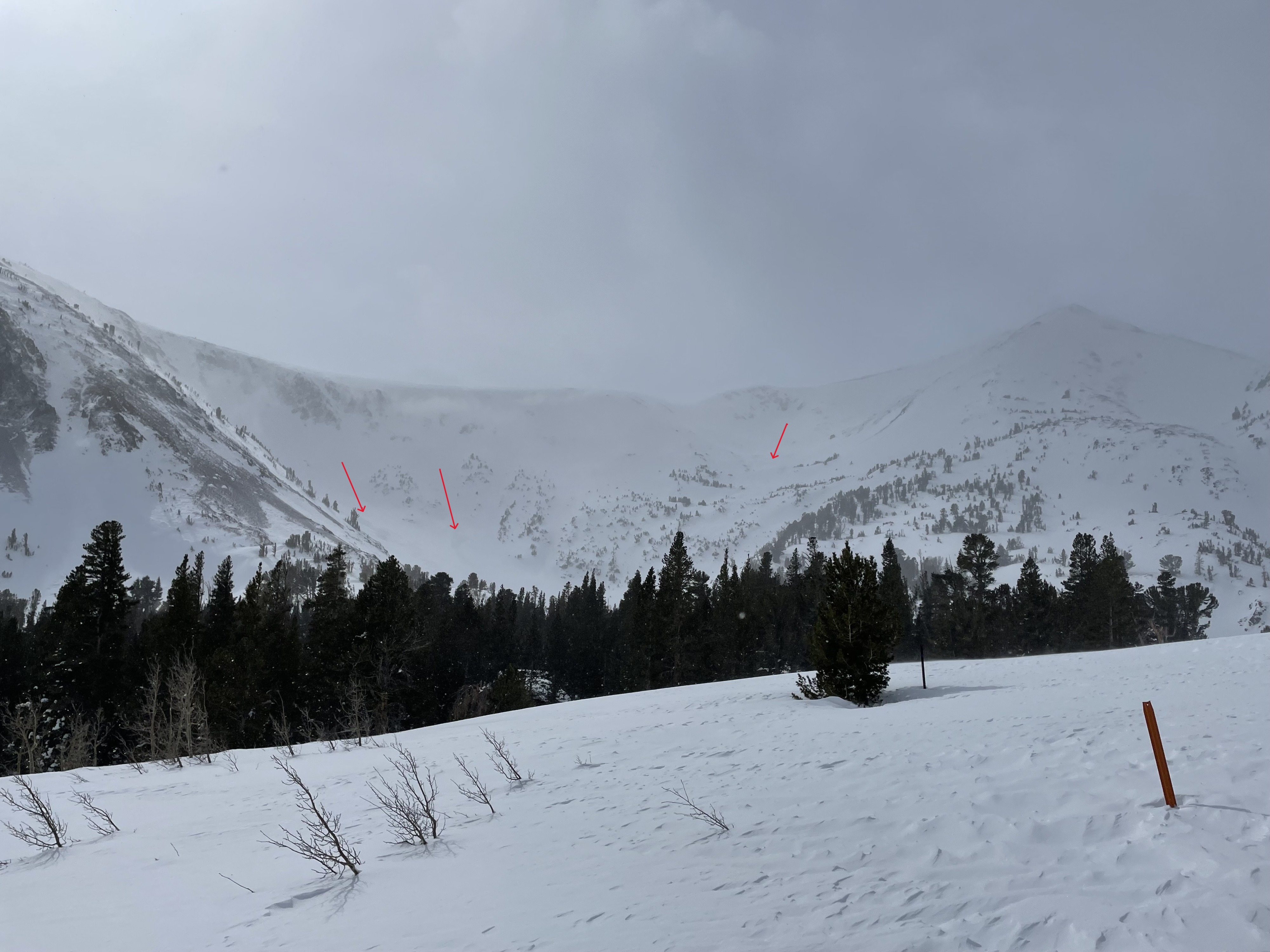
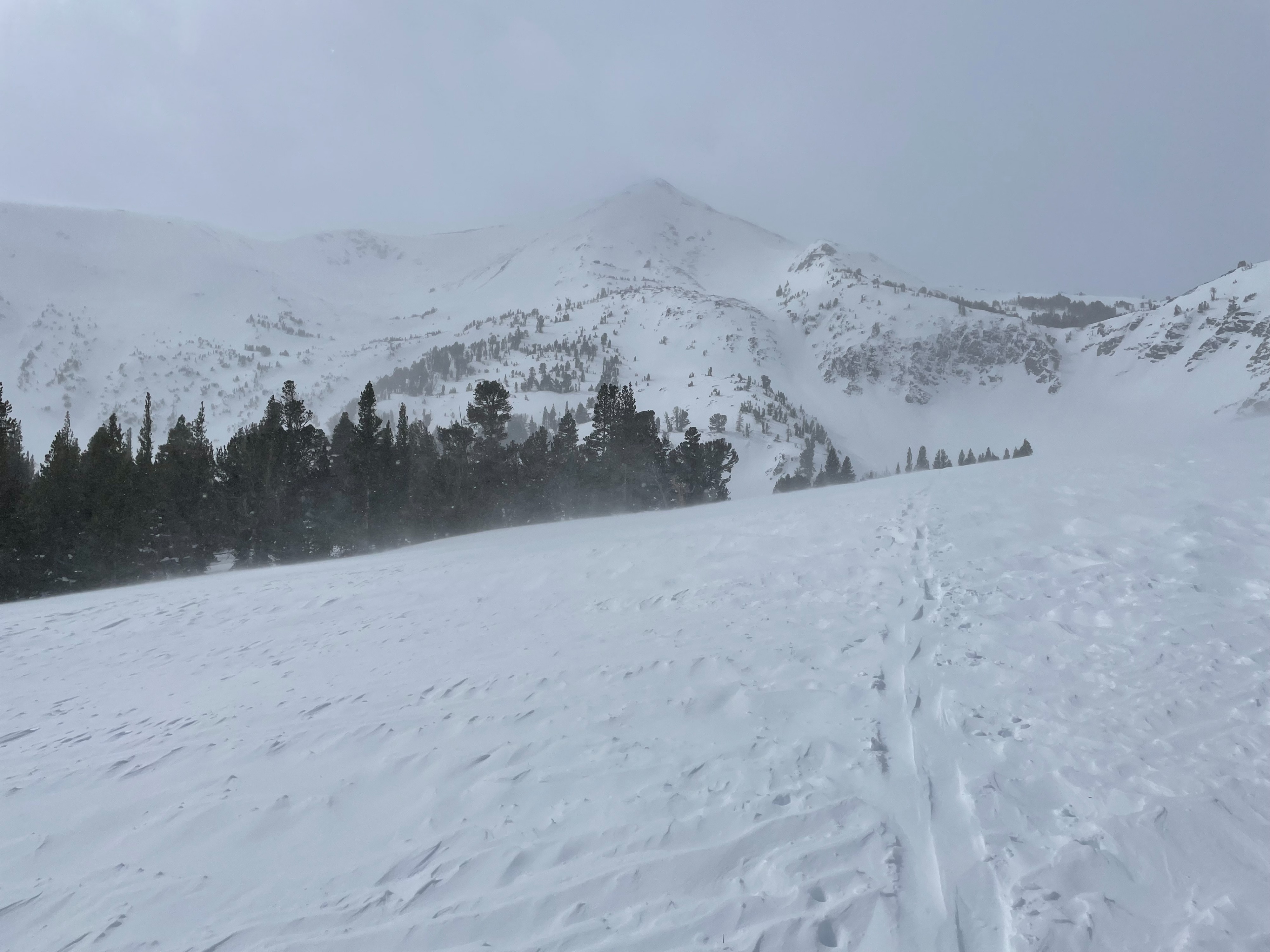
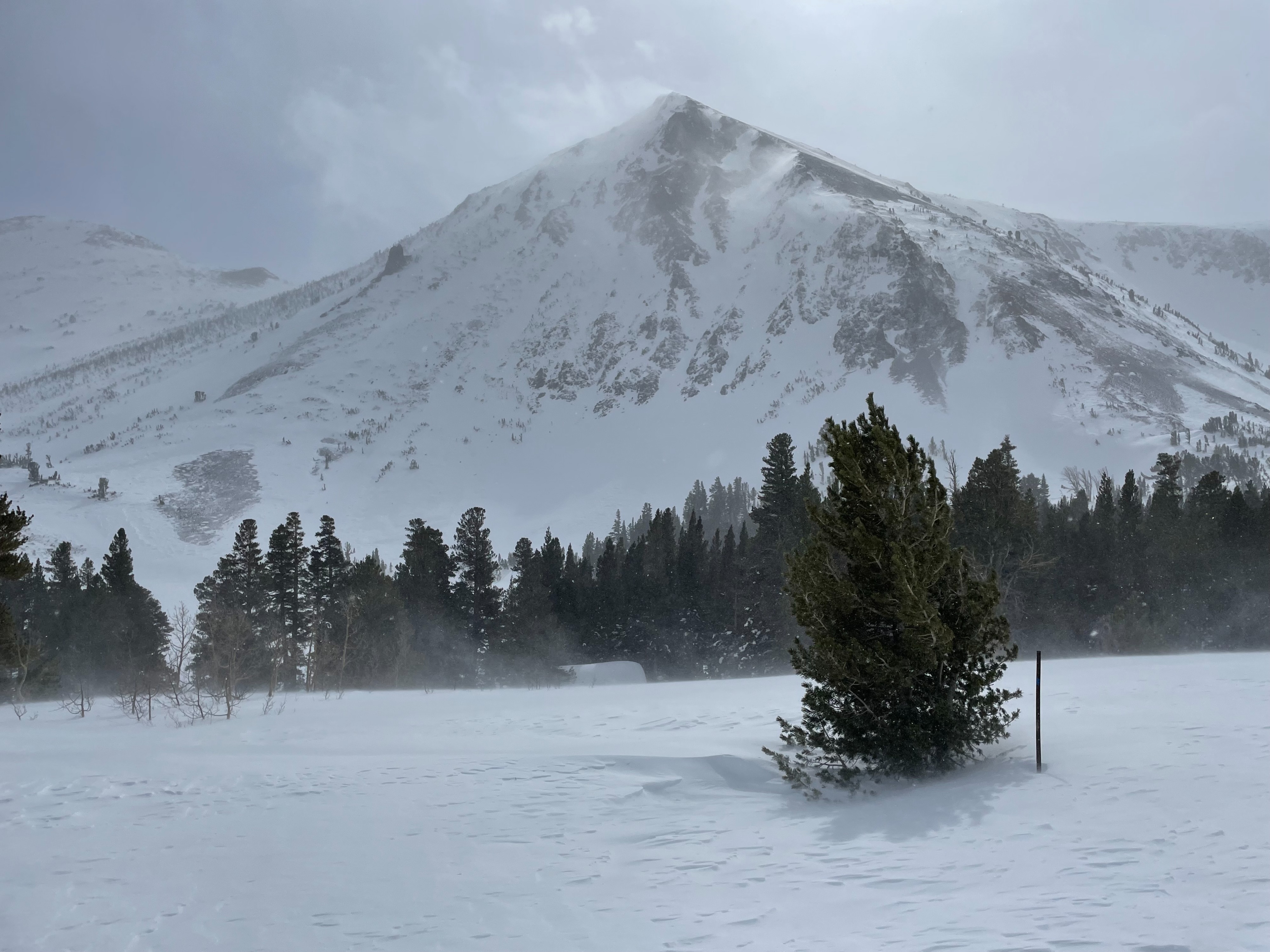
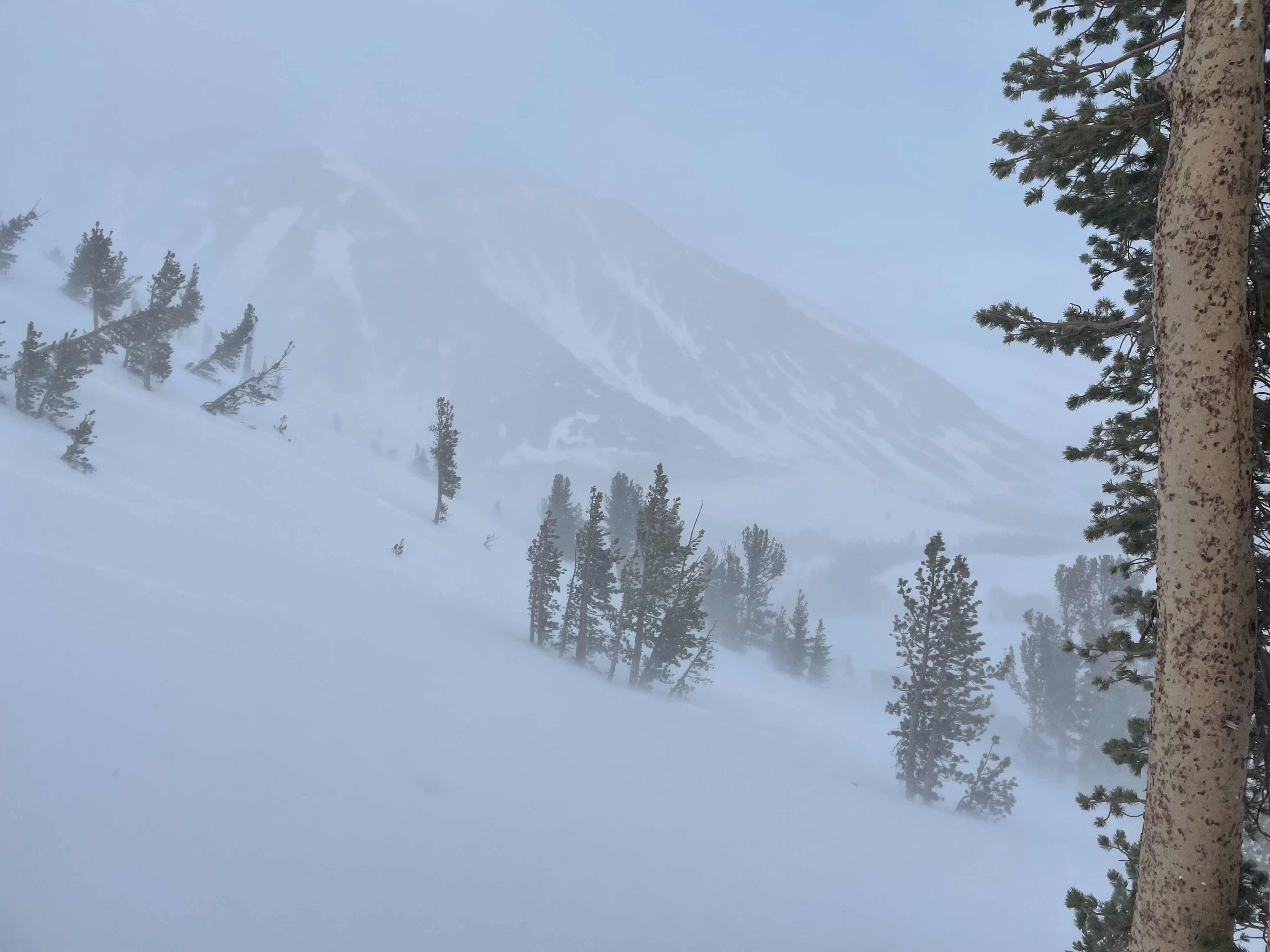
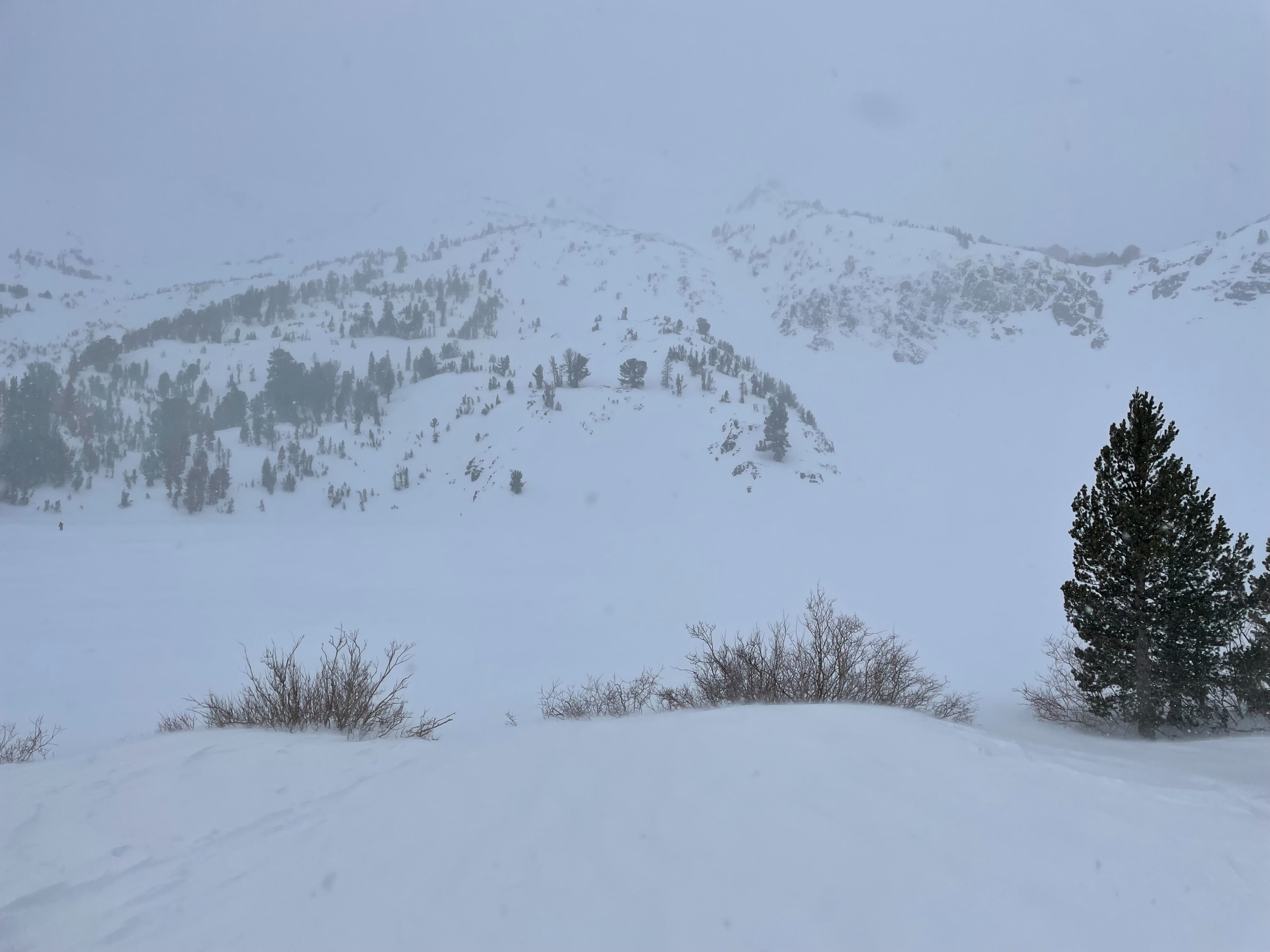
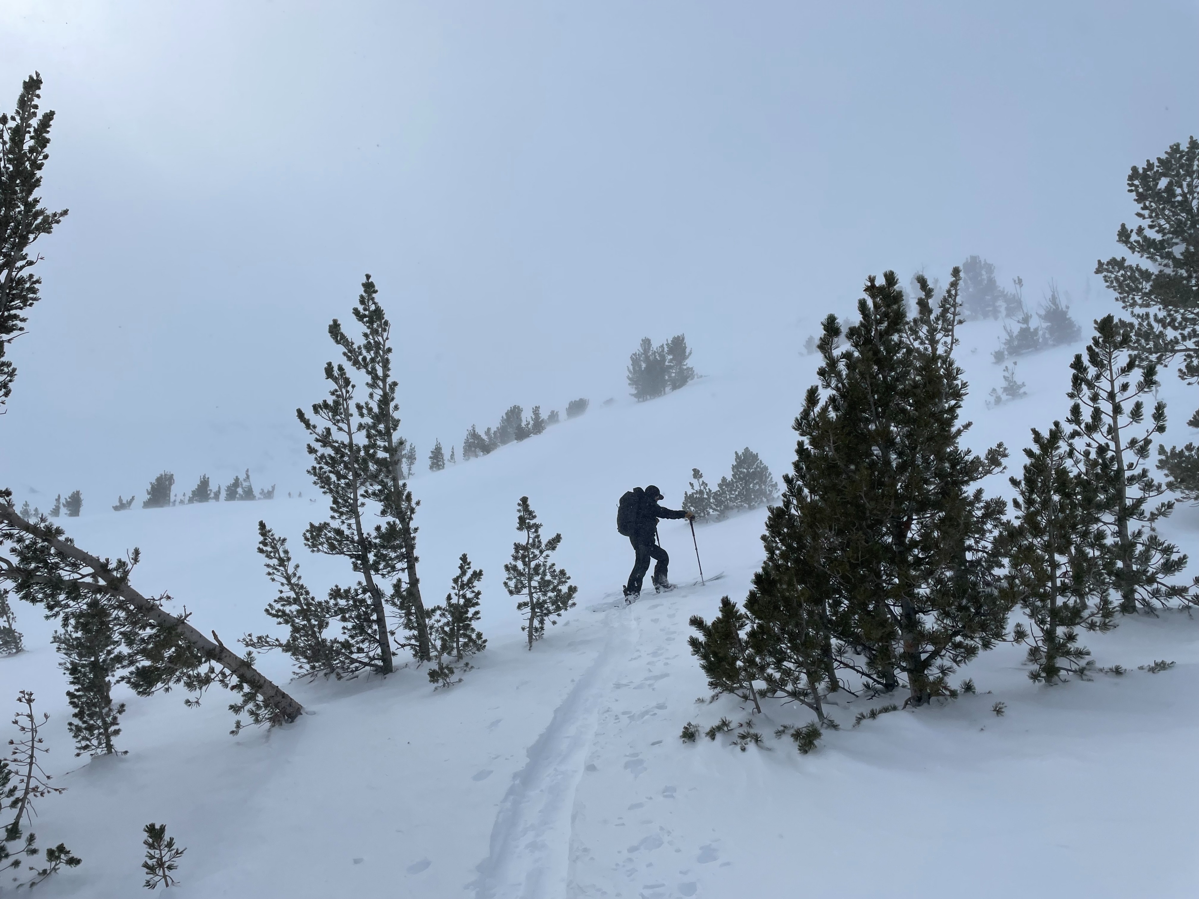
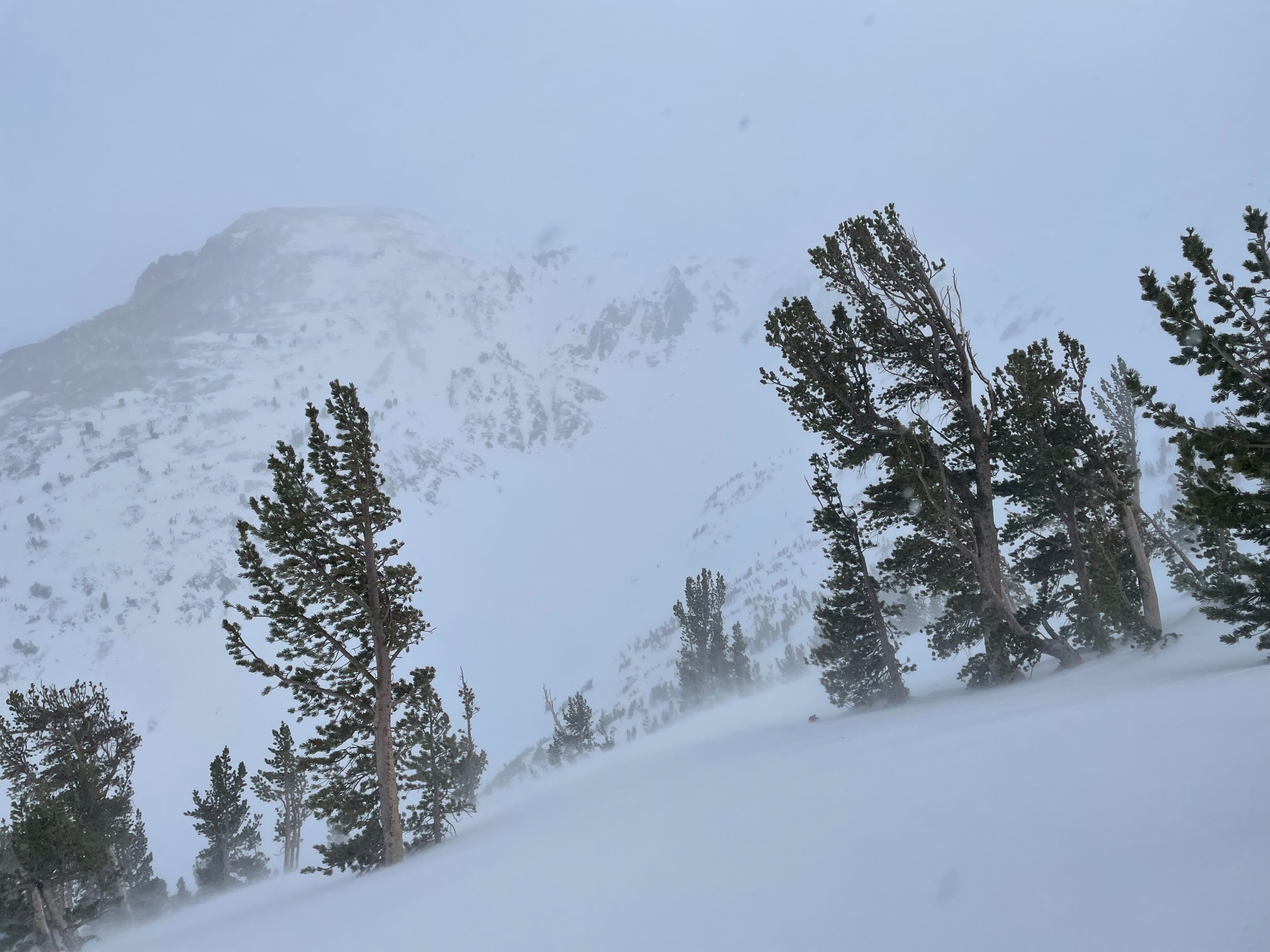
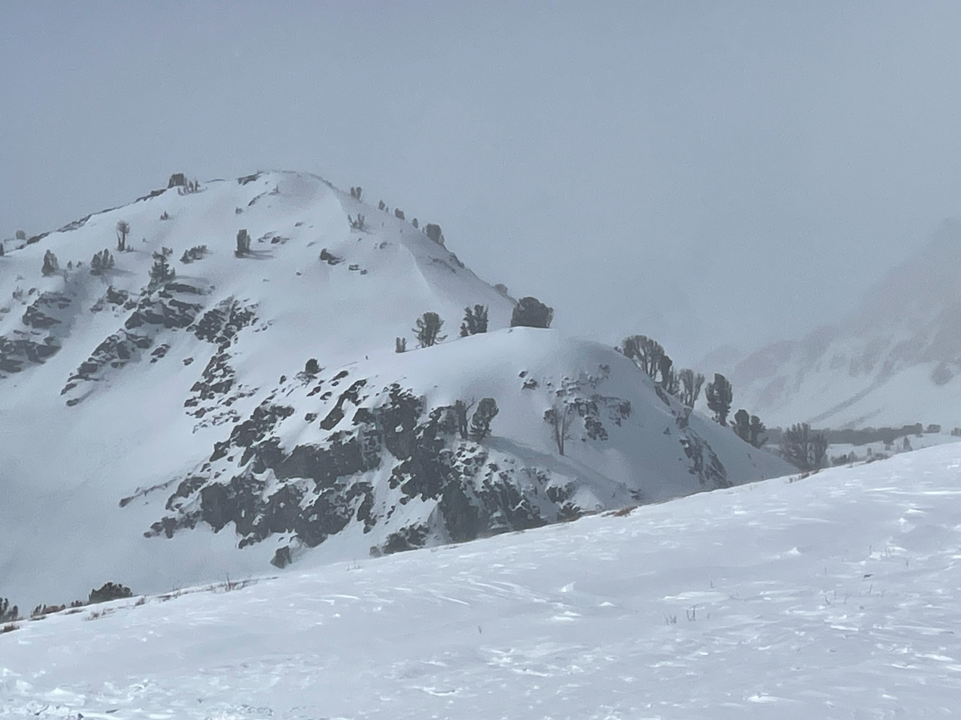
Today we had the goal of checking out the Virginia Lakes area after this last week's significant storms. Sustained moderate west winds with strong gusts were actively loading slopes near and above tree line. Snow showers occurred off and on midday and clouds obscured visibility of surrounding peaks at times. We originally wanted to look at a location with relatively shallow snowpack but found it to be deep with HS around 3 meters on average in an opening NTL. Debris from several previous large avalanches could be seen in Red Lake bowl and across Red Lake. Moderate wind loading occurring at mid and upper elevations. Debris from several previous large natural avalanches was observed in Red Lake bowl. A tree and some vegetation were carried with debris into middle of Red Lake.
Weather
- Air Temp
- below freezing above 9400'
- Cloud Cover
- broken
- Wind Loading
- moderate
- Recent Snowfall
- trace
- Snow Avail For Transport
- moderate amounts
Broken skies at parking lot with light winds. Above 9400' west winds were more sustained, and gusts were strong. Near the Big Virginia Lake skies were overcast with off and on light snow showers. Peaks were sometimes obscured by clouds.
Snowpack
Overall, the nature of the snow surfaces below and near tree line in this area was dense and heavy. At 10400' E aspect in an opening near tree line HS was on average 3 meters. Surface snow at this location was developing a thin wind skin and some spots had a couple inches of recent wind deposit.