
Quick report
- Shallow snowpack everywhere. Shocker.
- Shaded aspects held a variety of faceted grains above an old crust near or on the ground.
- The surface on solar aspects is growing into a thicker melt-freeze crust.
How many times do I say crust in this observation? About 7.
No signs of instability; however, we did not travel on steep solar aspects or wind-loaded terrain.Weather
- Air Temp
- 39
- Cloud Cover
- few
- Wind Loading
- light
- Recent Snowfall
- 0
- Snow Avail For Transport
- small smounts
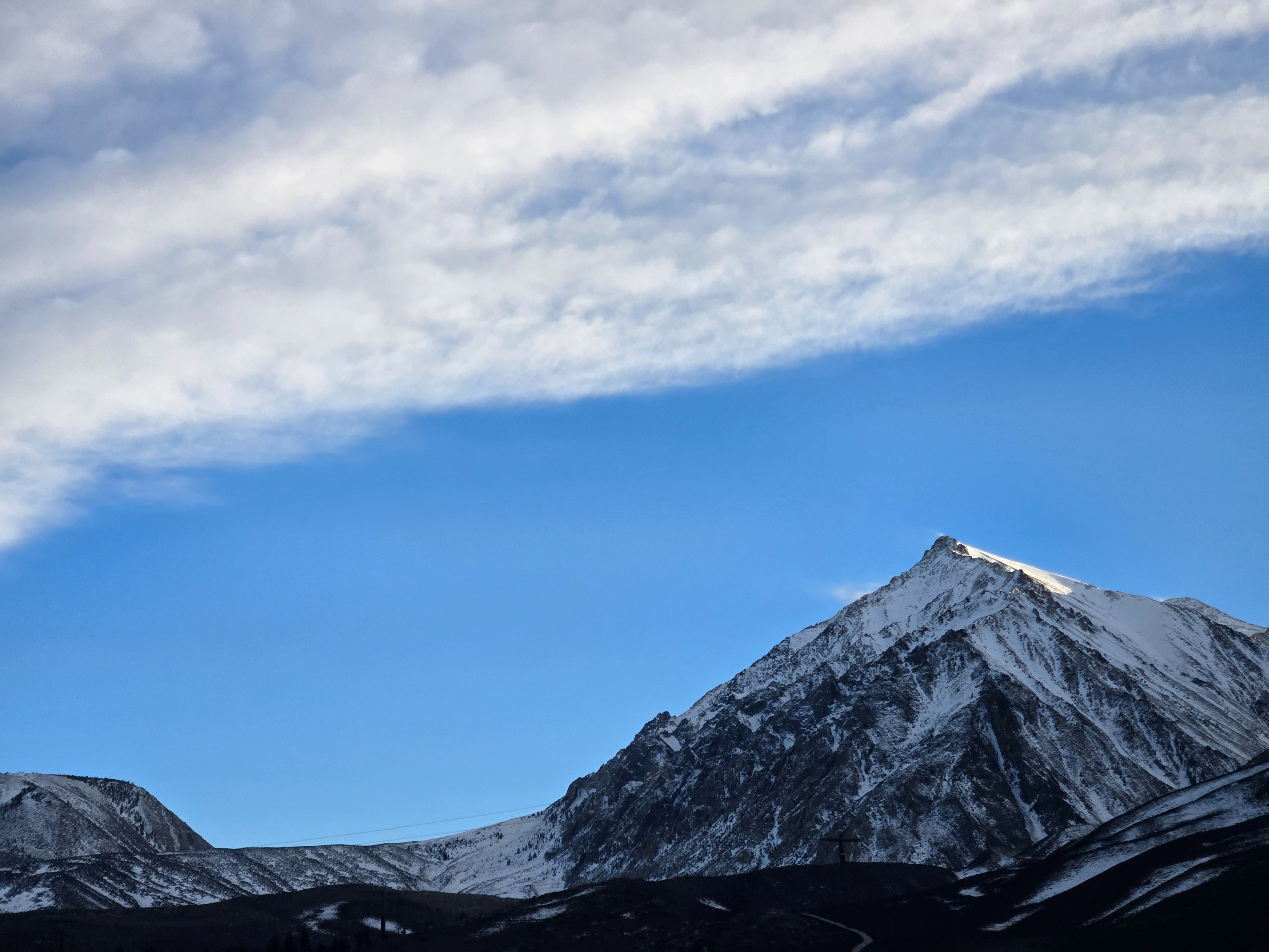
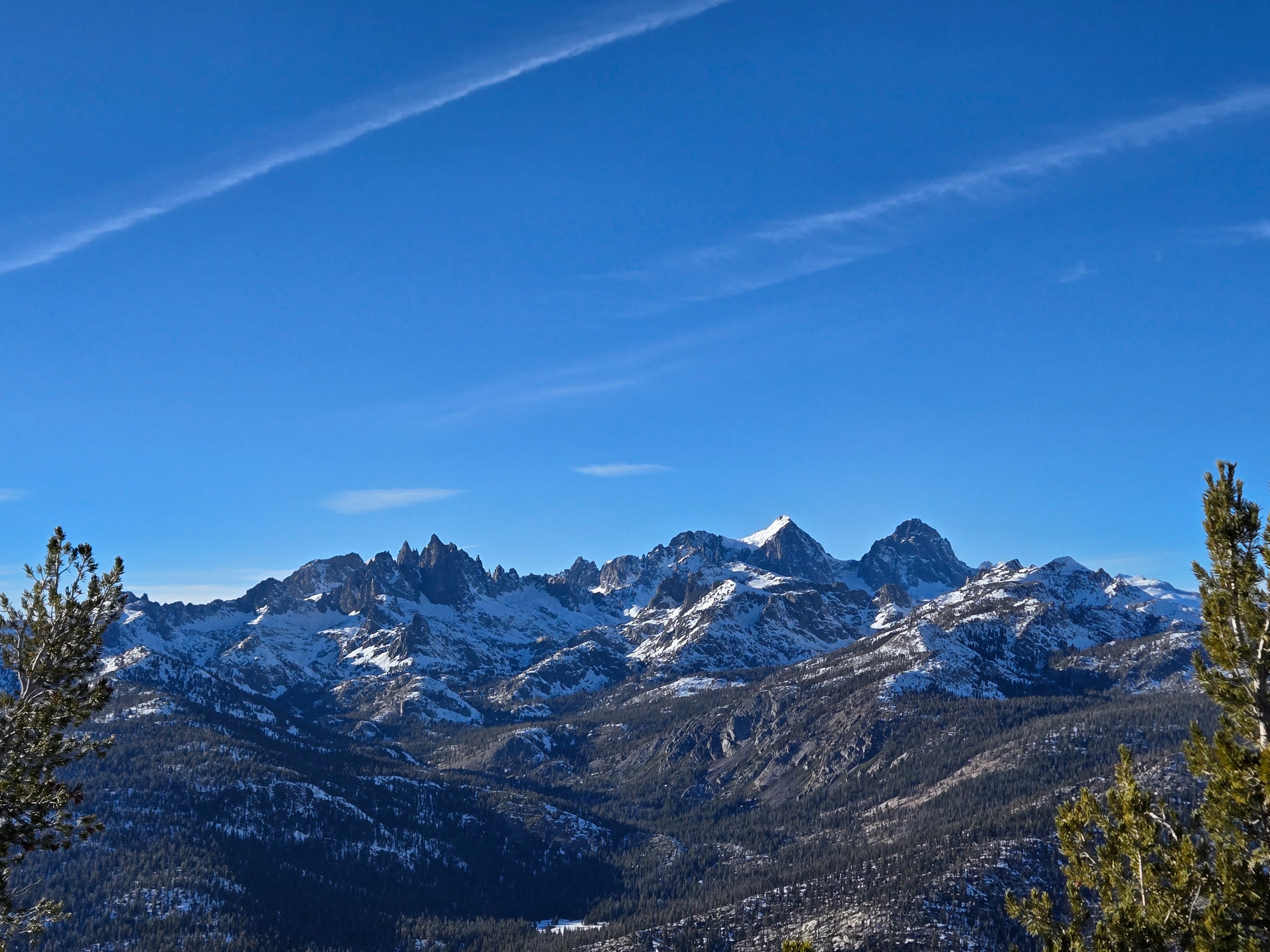
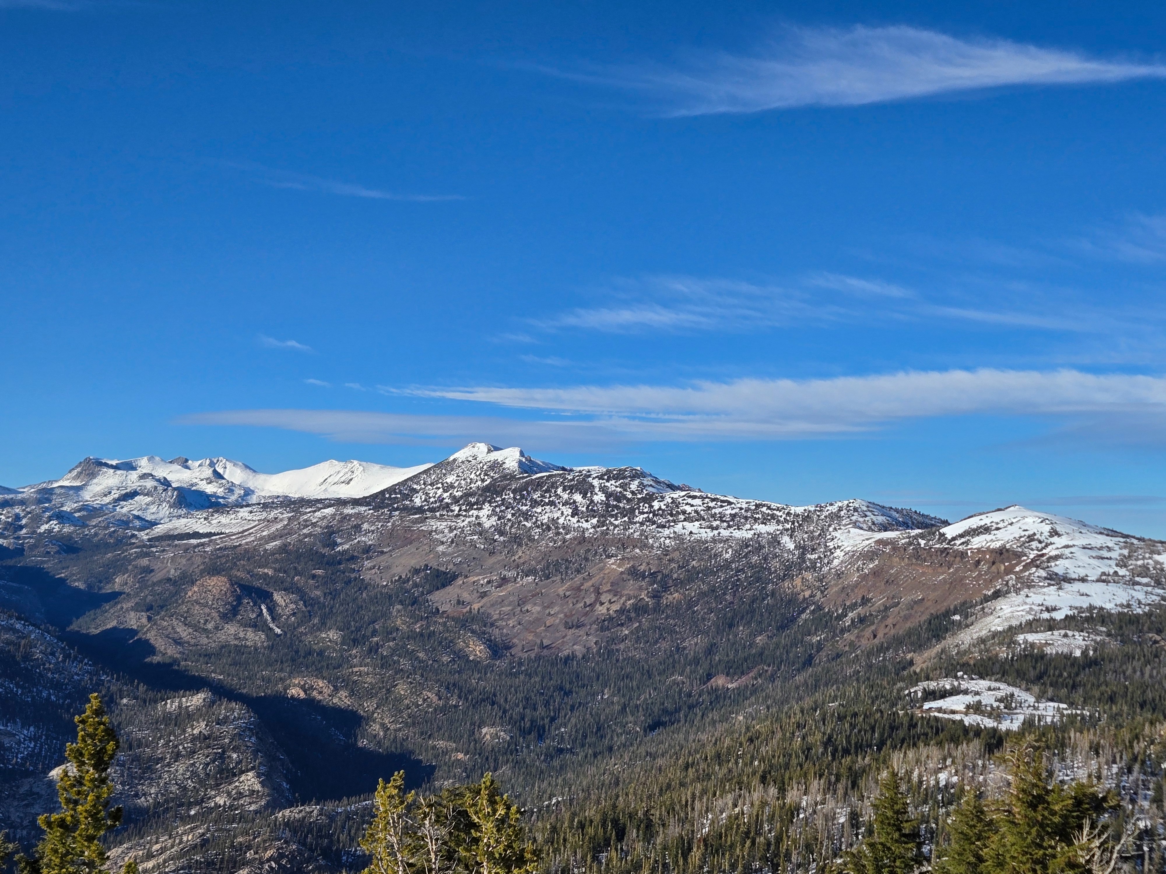
Temps above freezing in the Mammoth area. The skies were briefly overcast early this morning and cleared throughout the day. We saw light blowing snow midday. An uptick in wind speeds resulted in moderate blowing snow this afternoon. Across the range, from Bishop to June, we noticed flagging at ridgetops.
Snowpack
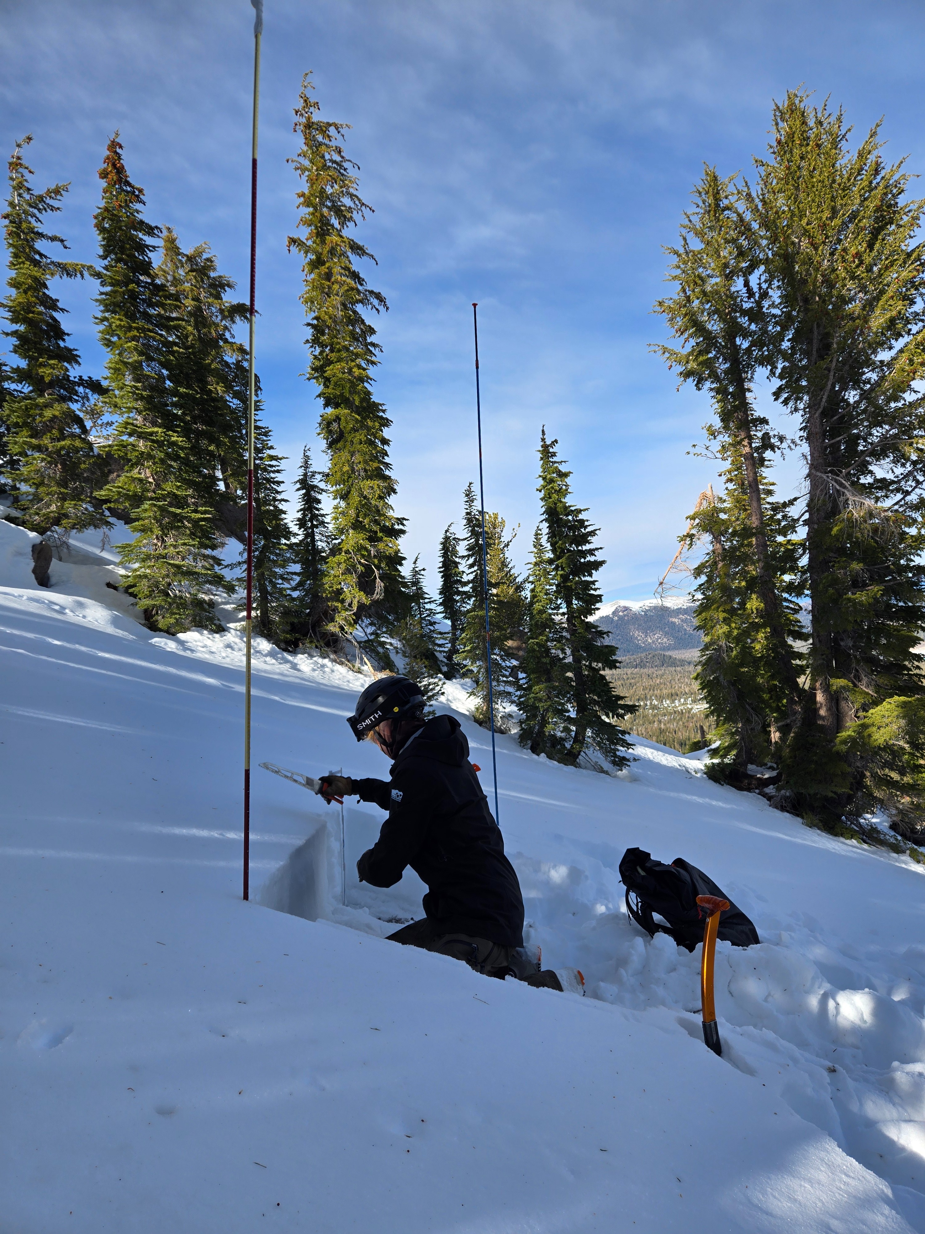
Snowpack observations were the primary goal of today. We dug two pits, one on a northeast (NE) aspect and one on a northwest (NW) aspect, both between 9,500-10,000'.
- NE: height of snow averaged 40-50cm. The snowpack consisted of facets overlaying an old melt-freeze crust at the ground. Dry snow throughout.
- NW: height of snow averaged 50-60cm. Facets in the top 30cm capped a thick melt-freeze crust. Beneath this crust, preserved (unsaturated) depth hoar comprised the bottom 10cm. Dry snow throughout.
- We observed no propensity for propagation in either pit. Both lacked strength in the slab.
Solar aspects held an average of 30cm of snow close to 10,000'. Sunny locations are holding a melt-freeze crust at the surface. As temperatures warmed, the top 10cm became moist and comprised of melt forms. Under the top 10 cm, the rest of the snowpack is dry.