

Quick report
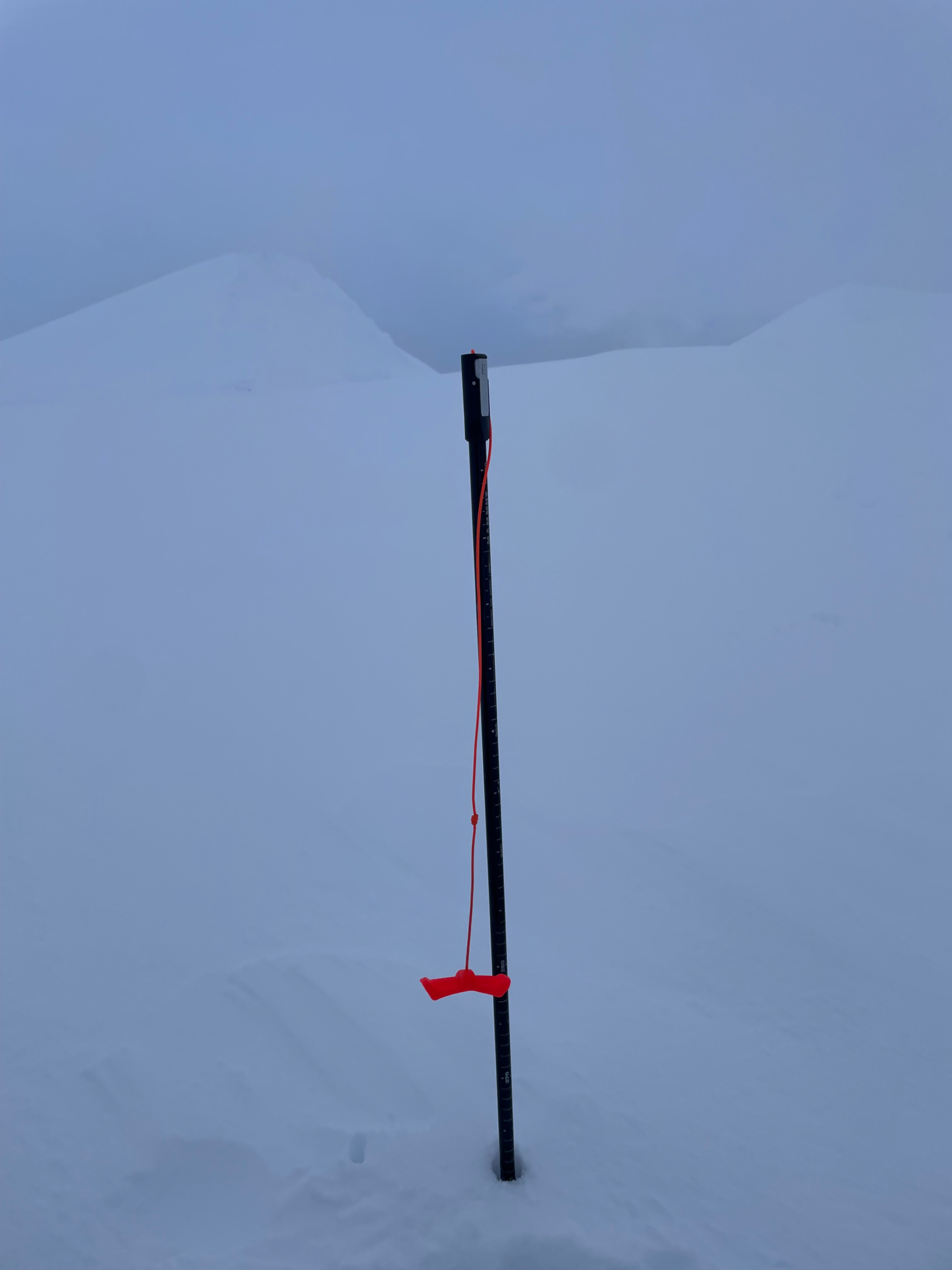
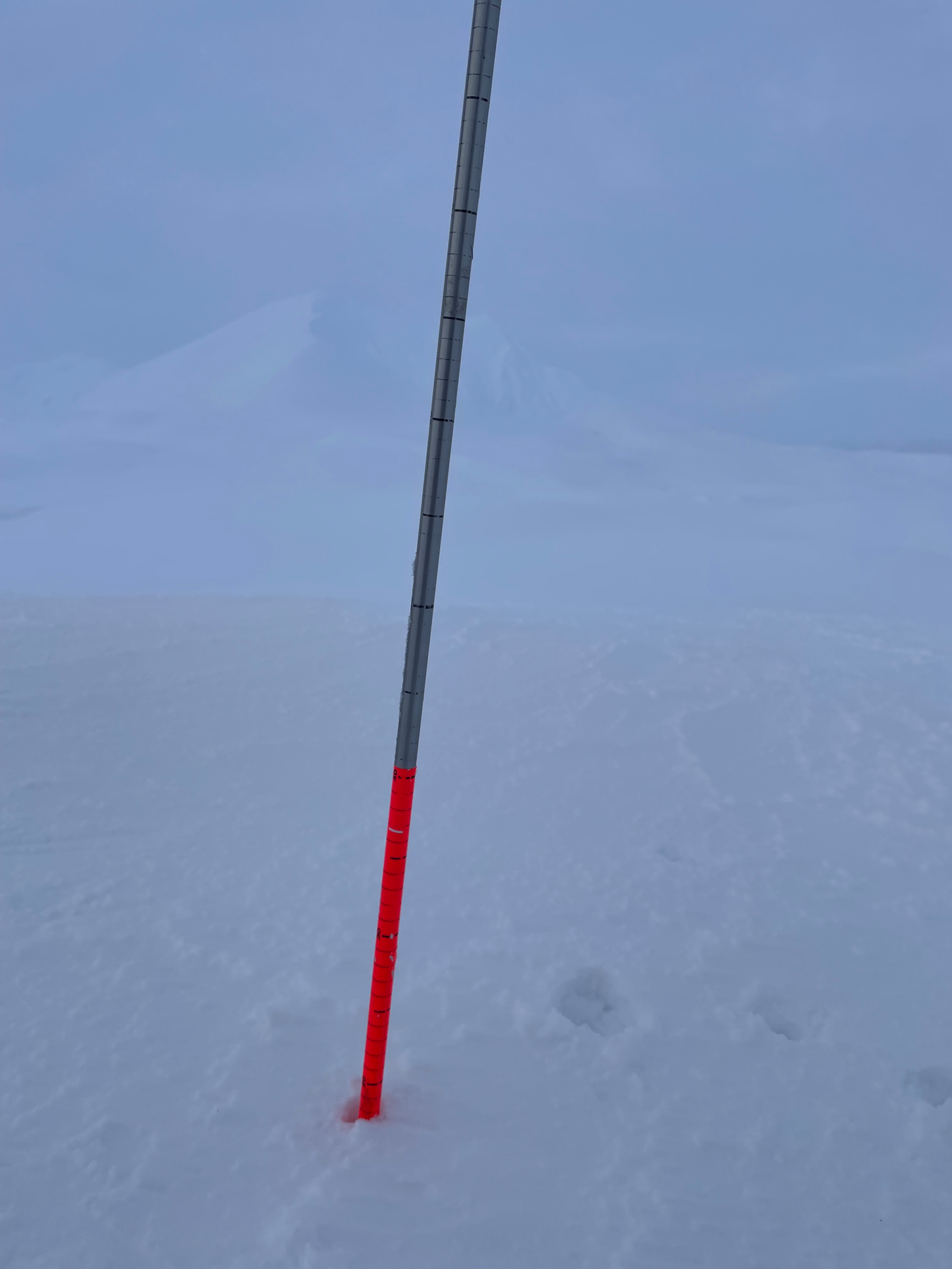
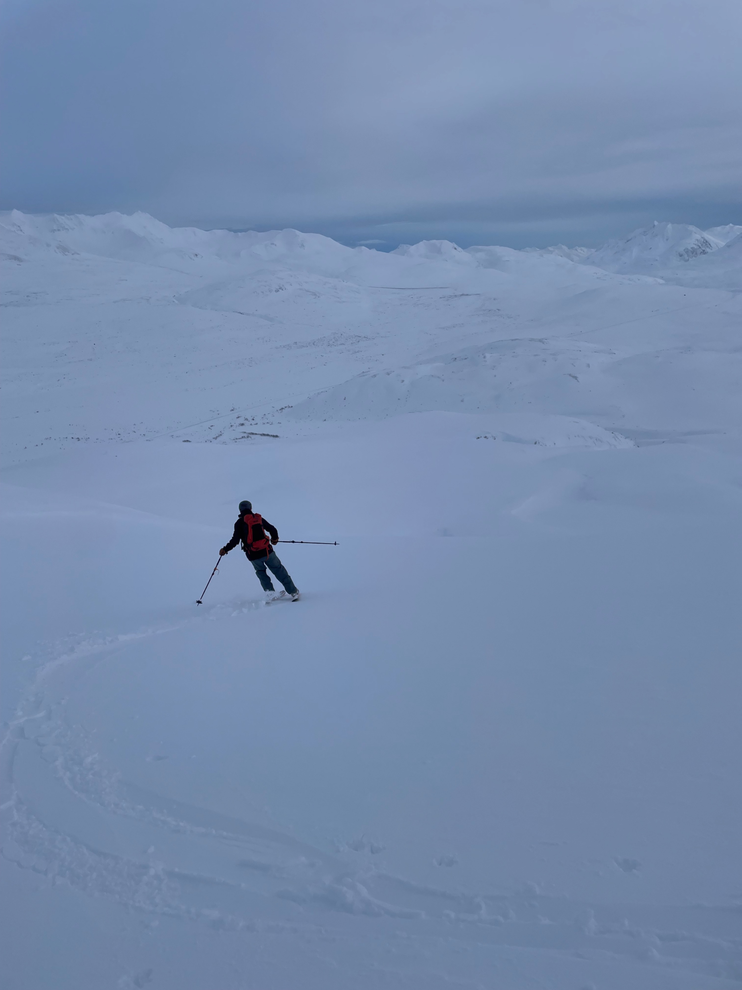
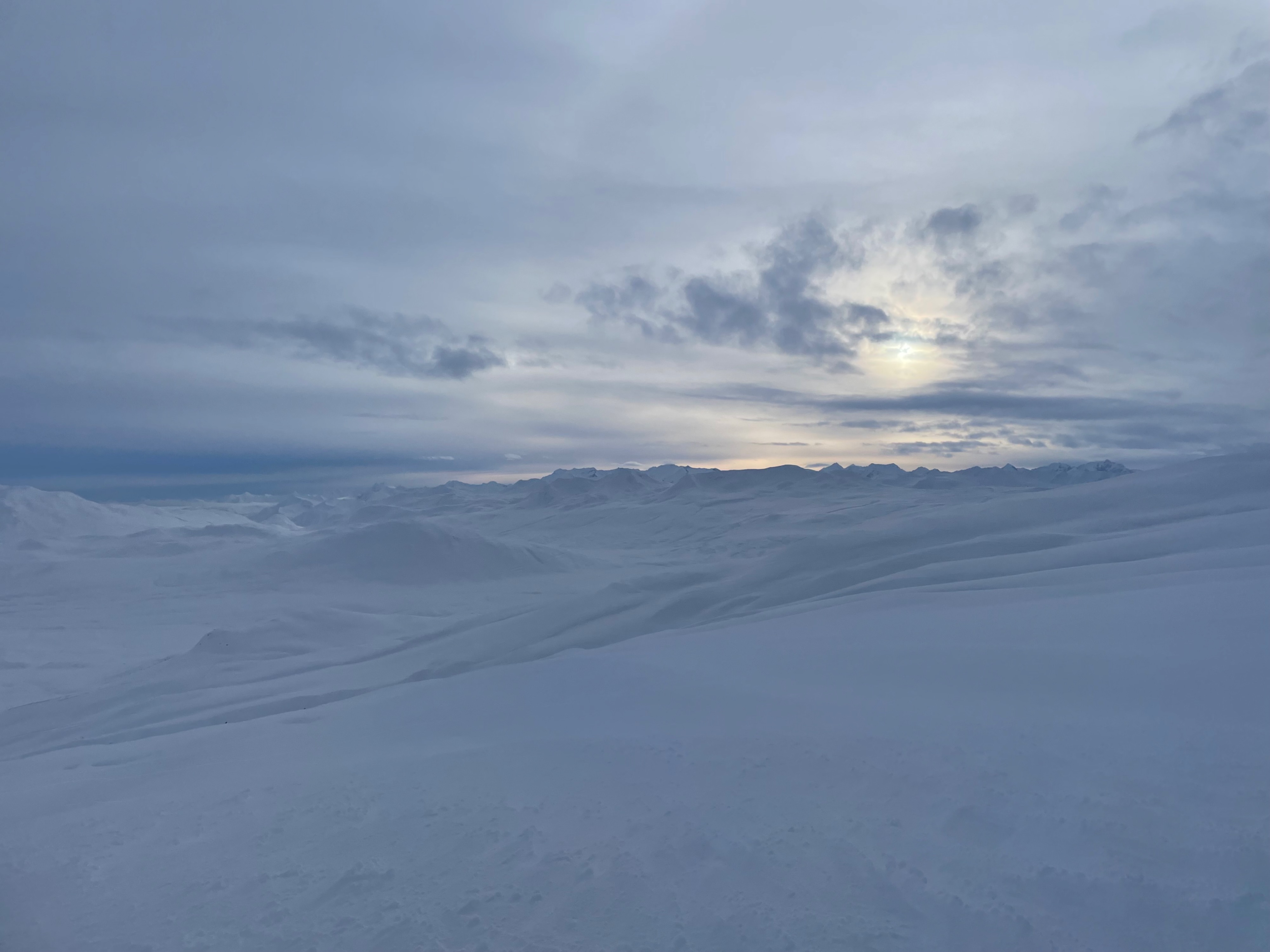
A few inches of new snow rested on variable surfaces, ranging from packed powder to firmer wind-affected snow. Cloudy skies with brief afternoon clearing. Afternoon temperatures remained just below freezing near 5,000 ft, with light southwest winds.
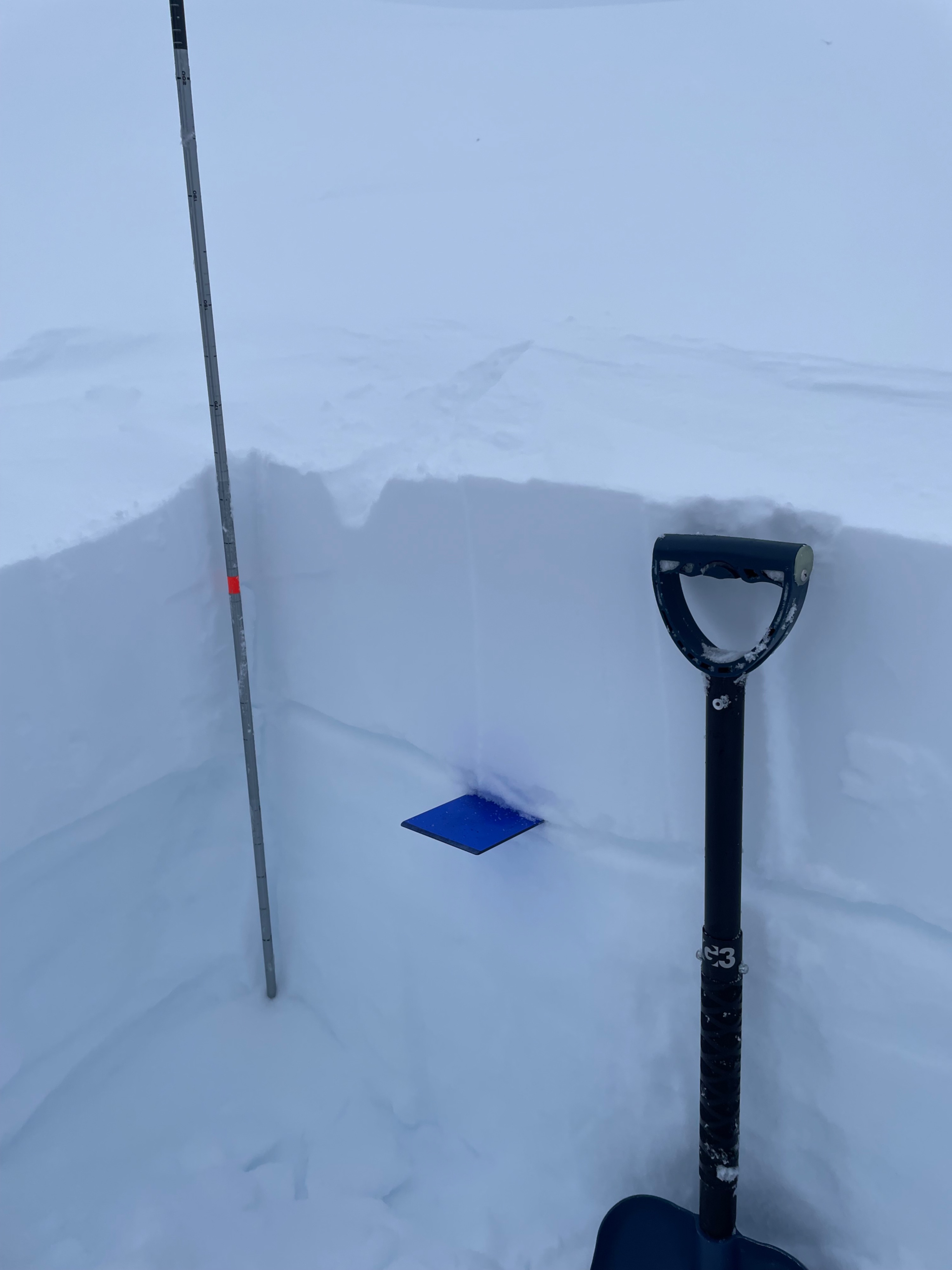
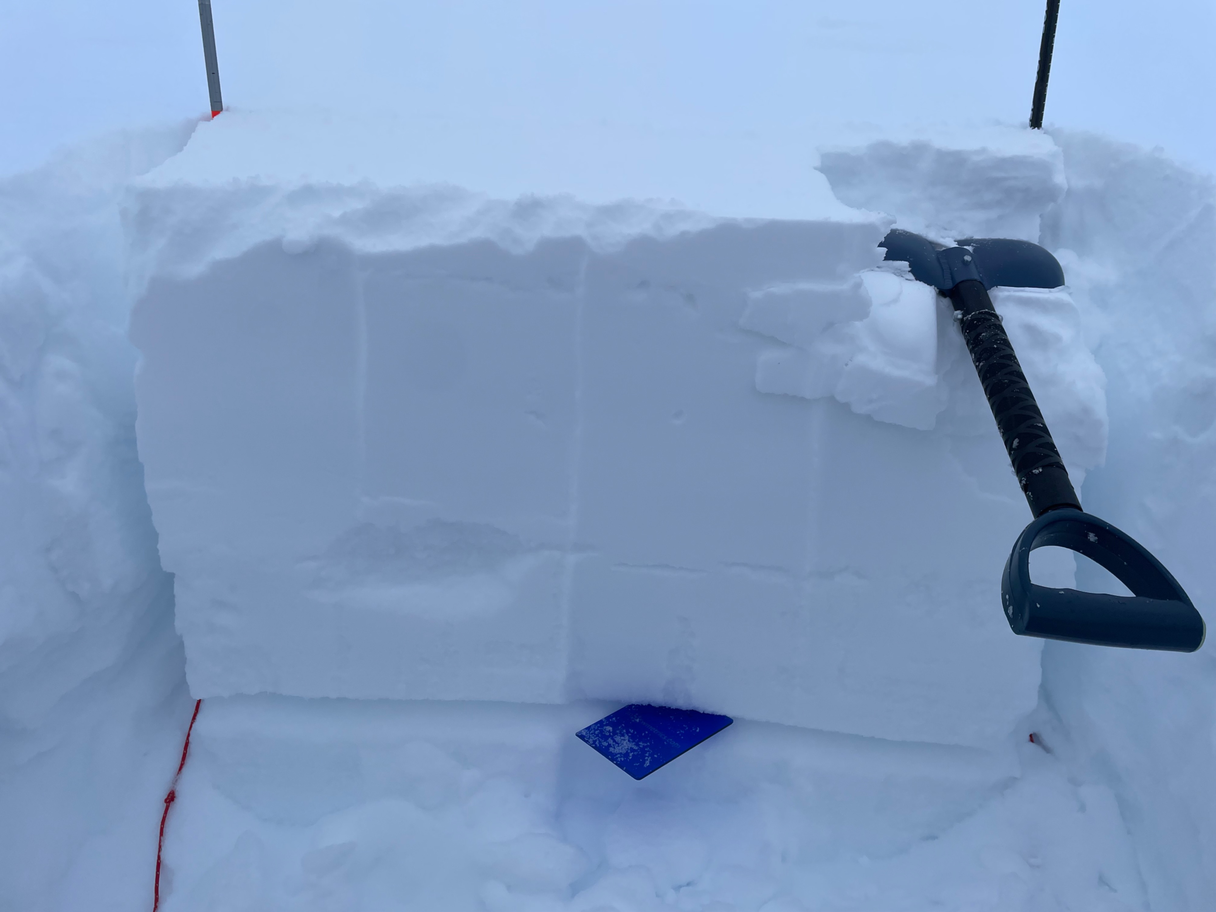
Snowpack structure showed strong-over-weak layering that was “punchy” with a ski pole and more pronounced in certain areas. Beneath a supportable wind slab, we found a thick layer of faceted, sugary snow approximately 60 cm deep. A propagation was observed on an even weaker layer within these facets.
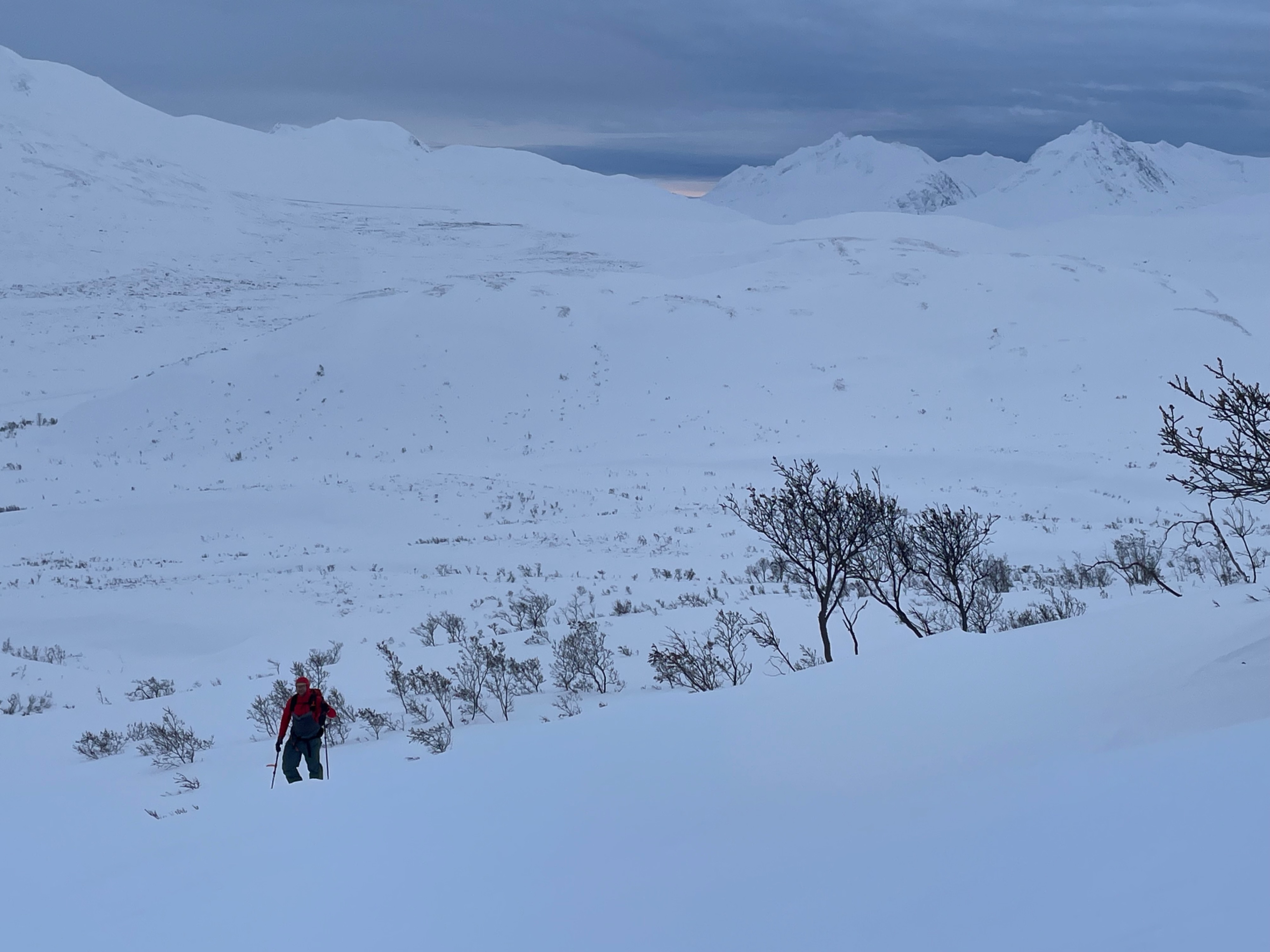
Snow coverage was highly variable. Deeper, denser areas felt generally supportive and predictable, while thinner areas felt unstable, with the ability to punch through into weak layers. Travel was limited to lower-angle terrain, and we avoided exposure to a large overhead slope while skinning.
Overall, it was valuable to be out observing and moving through the snowpack, helping piece together how the past month of wild weather has shaped current conditions.
Avalanche
Saw a crown on a south east aspect near 5,500ft of nadahini/twin sisters.