
Quick report
- Collapsing
- isolated
Isolated collapsing was felt in areas with a more cohesive slab and a shallower snowpack. The layer of failure was larger facets at the bottom of the snowpack over the ground.
Weather
- Cloud Cover
- overcast
- Wind Loading
- previous
- Rain Elevation
- 3,000
- Snow Avail For Transport
- small smounts
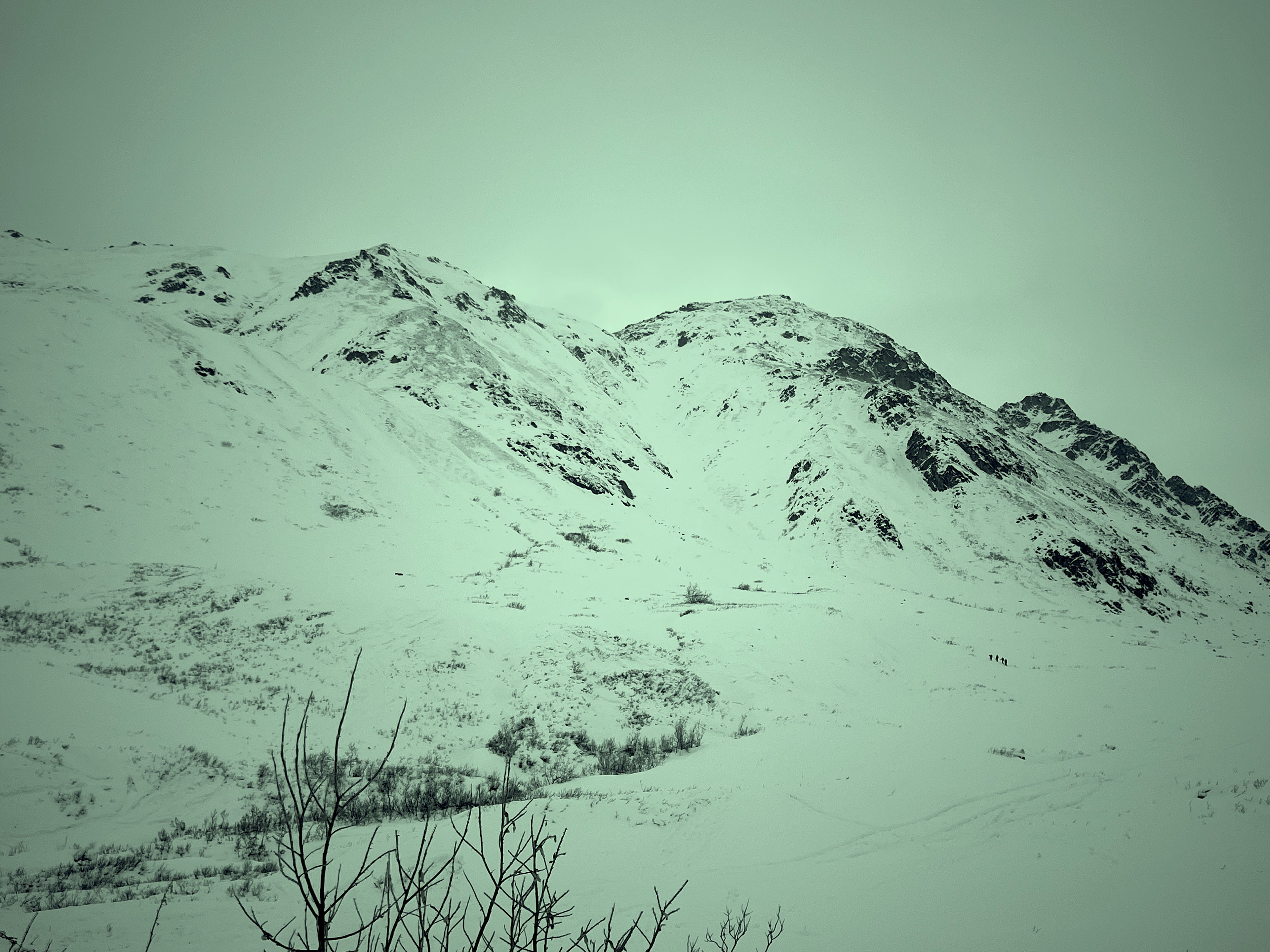
The day started overcast, albeit with good definitions and shadows. Parking lot temperatures were 38* at 11am and remained above freezing all day. Winds were calm-light with moderate gusts out of the southeast that were moving the small amounts of dry, faceted snow (above 3,500') still available for transport. By 2:30pm, skies appeared more broken and winds diminished.
Snowpack
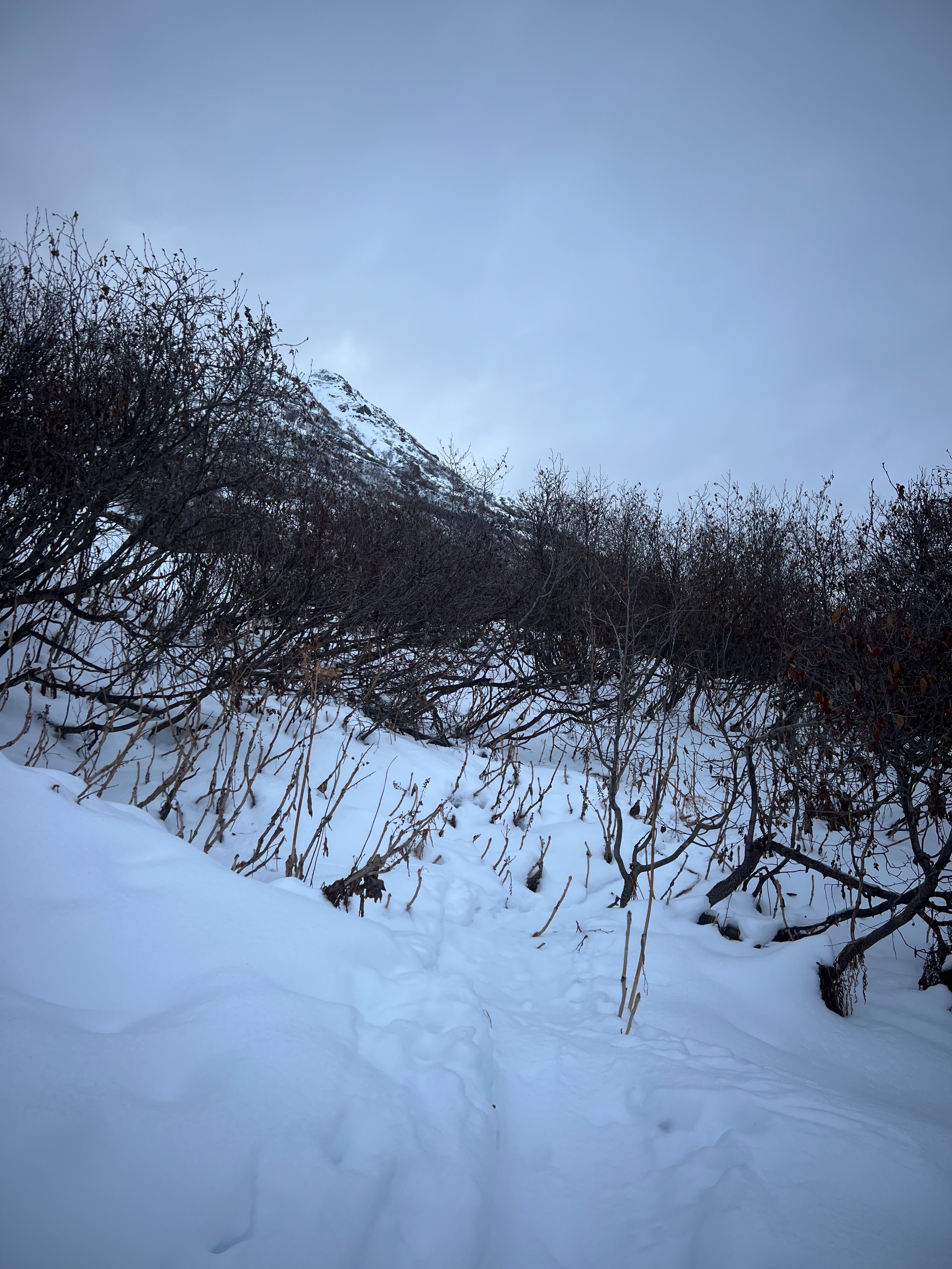
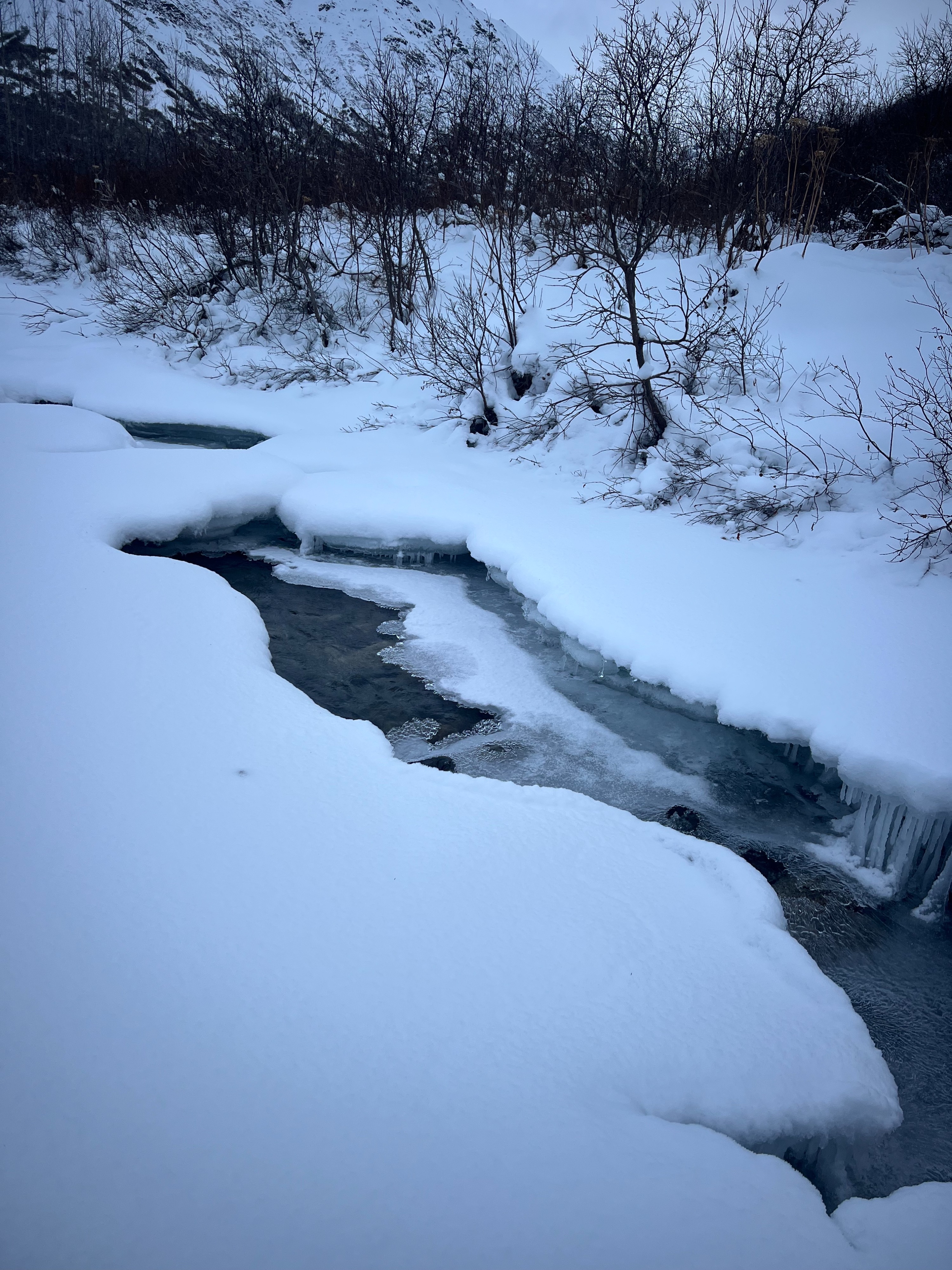
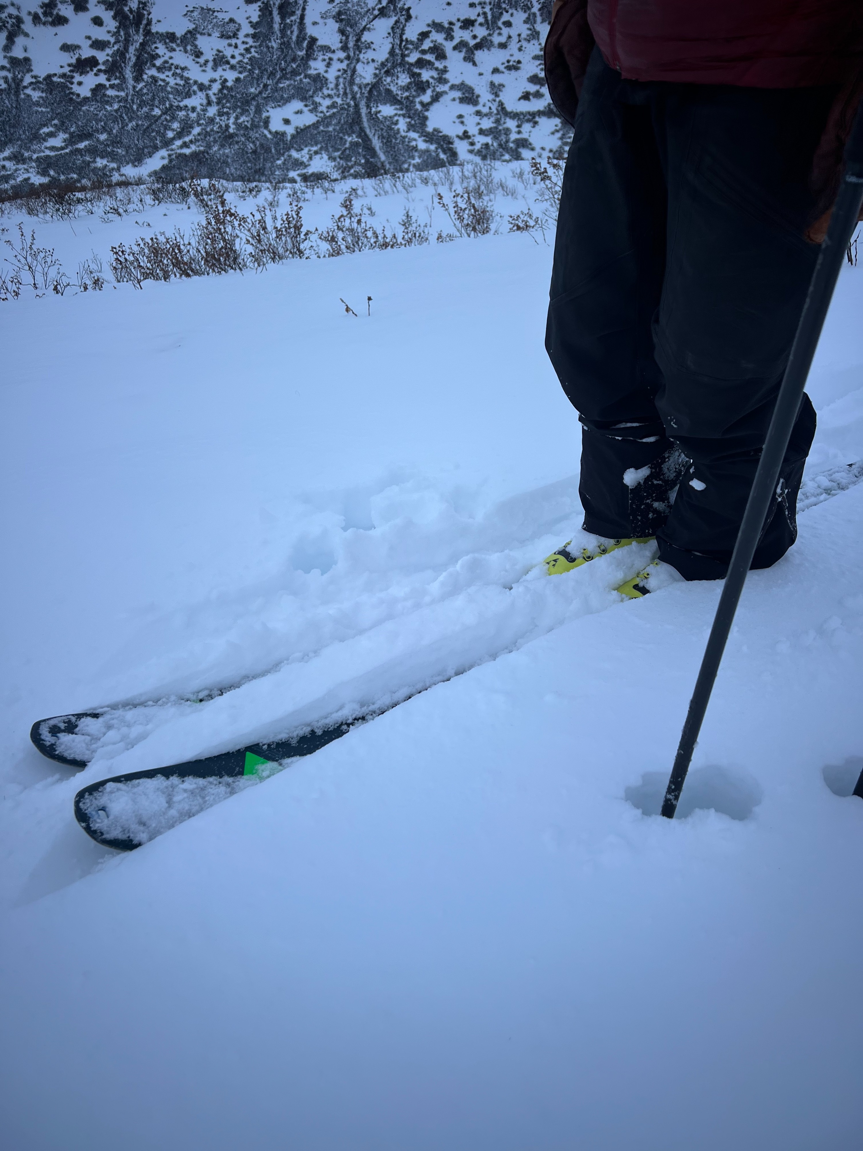
The snowpack was shallow (less than a foot) at creek level moving through the willows. This is mostly moist, faceted snow that felt largely rightside up until we gained elevation and experienced some minor wind loading (no shooting cracks or consistent distribution of slabs in this area). We did notice a fragile rain crust at lower elevations that petered out by 3,000'. The average height of snow between 3,000 and 3,500' was 25-50cm.
At the bottom of the snowpack, we found poor structure with loose 1-2m facets and an intermittently frozen October ice layer that seemed to be loosening and weakening in most areas at this aspect/elevation.
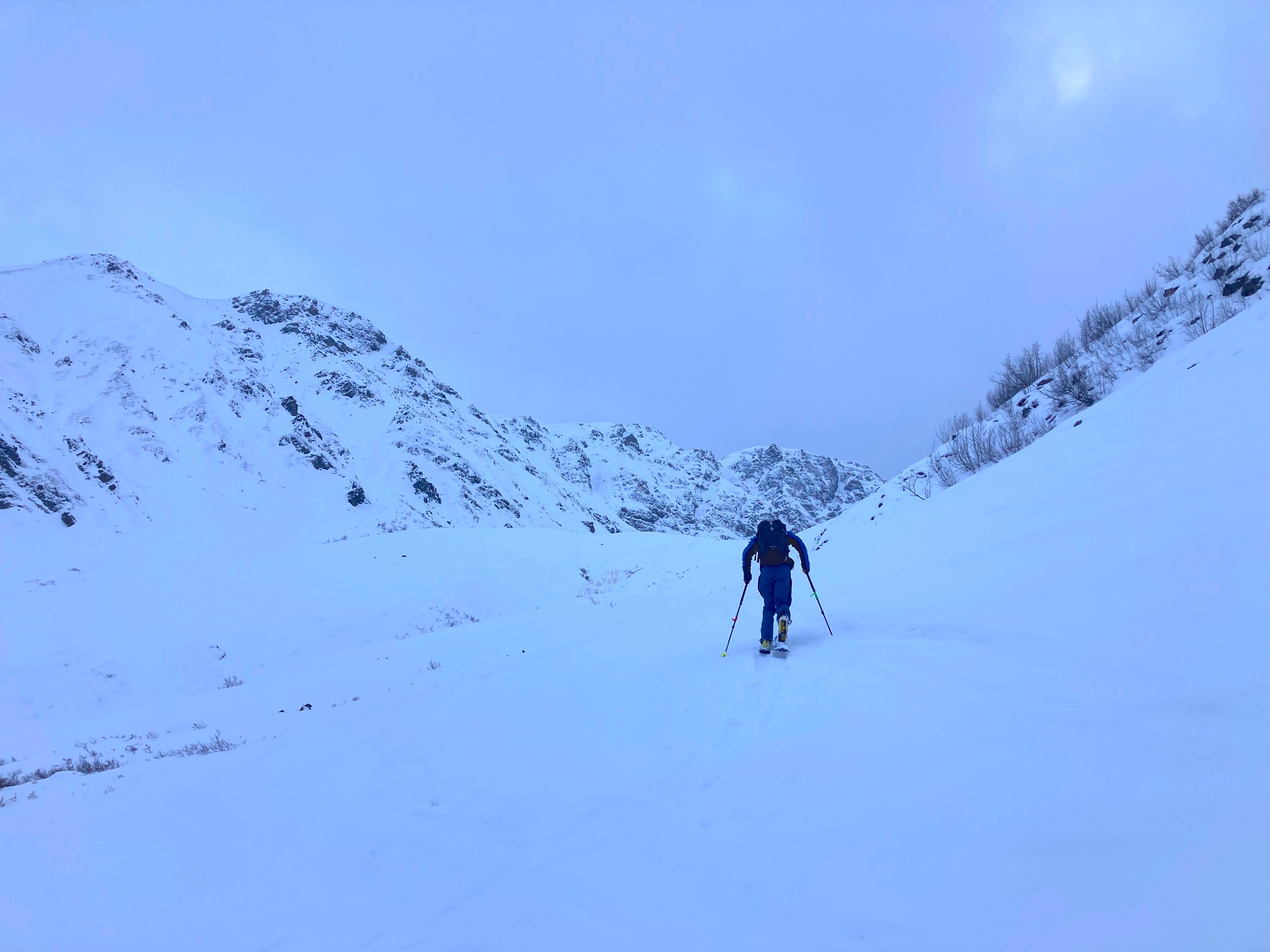
After making it through the willows, we found reasonable ski quality: mostly moist facets to the ground. Some poorly bonded weak layers (loose facets) were observable, but lacked continuity to see propagation in test pits.