
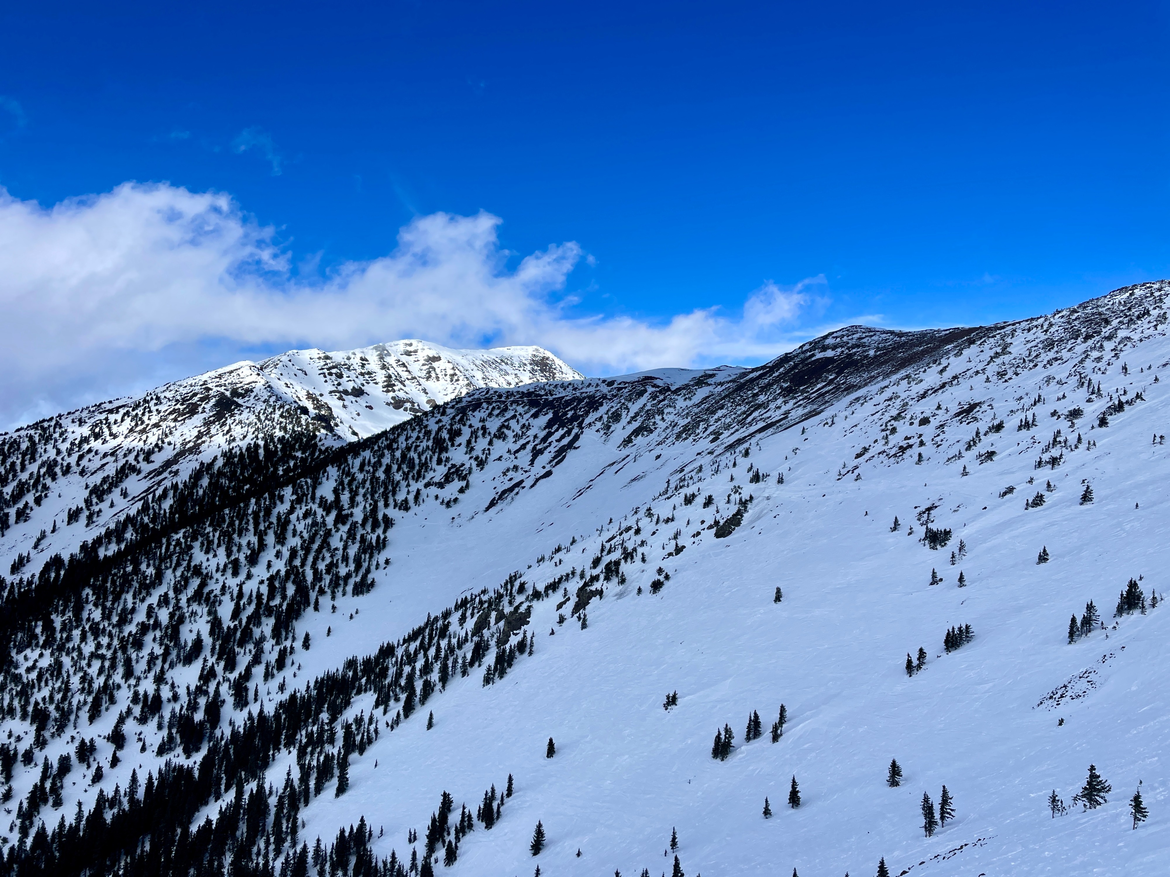
Quick report
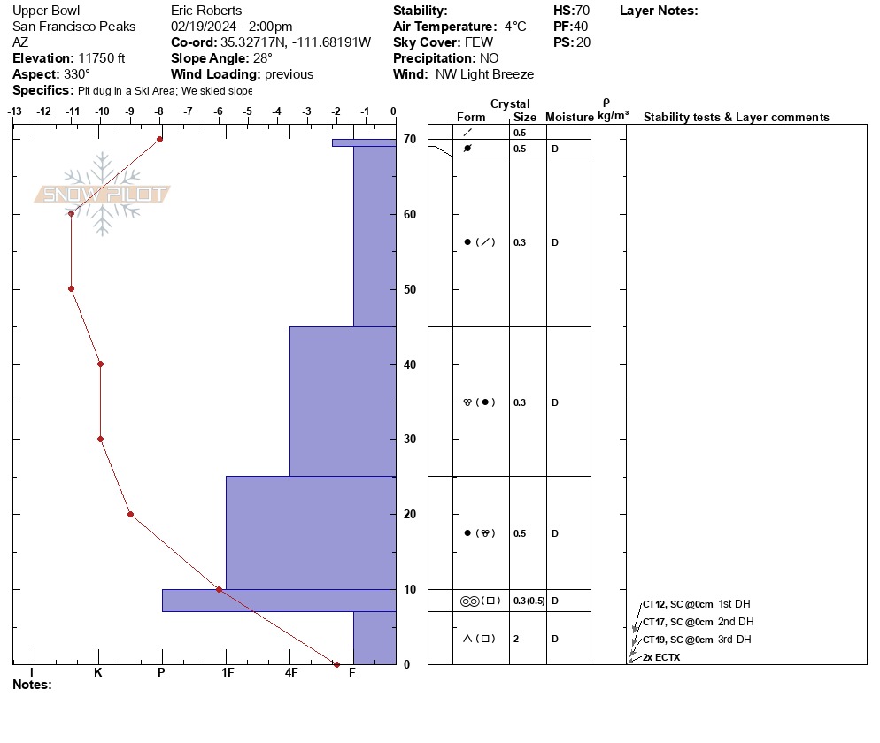
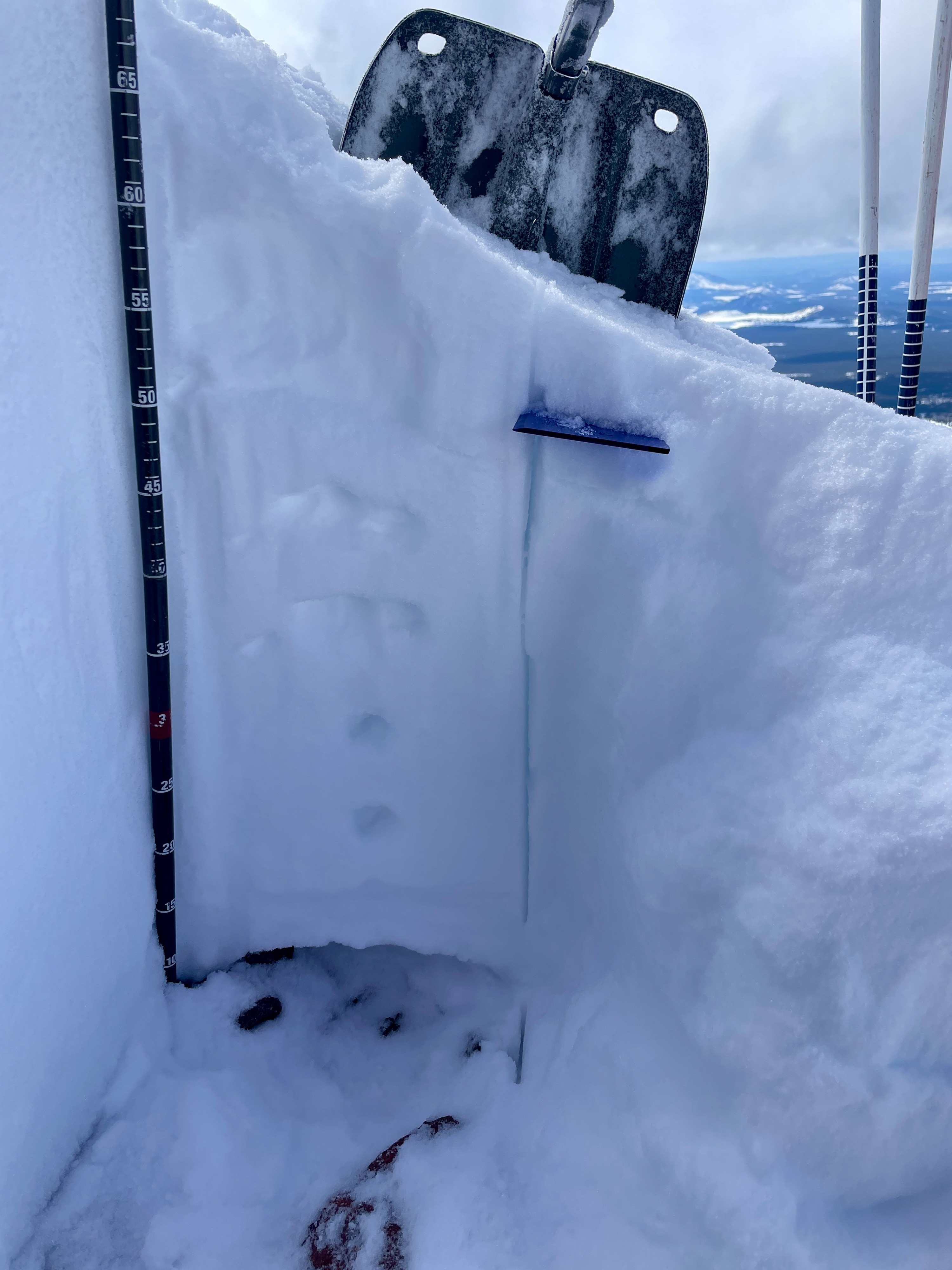
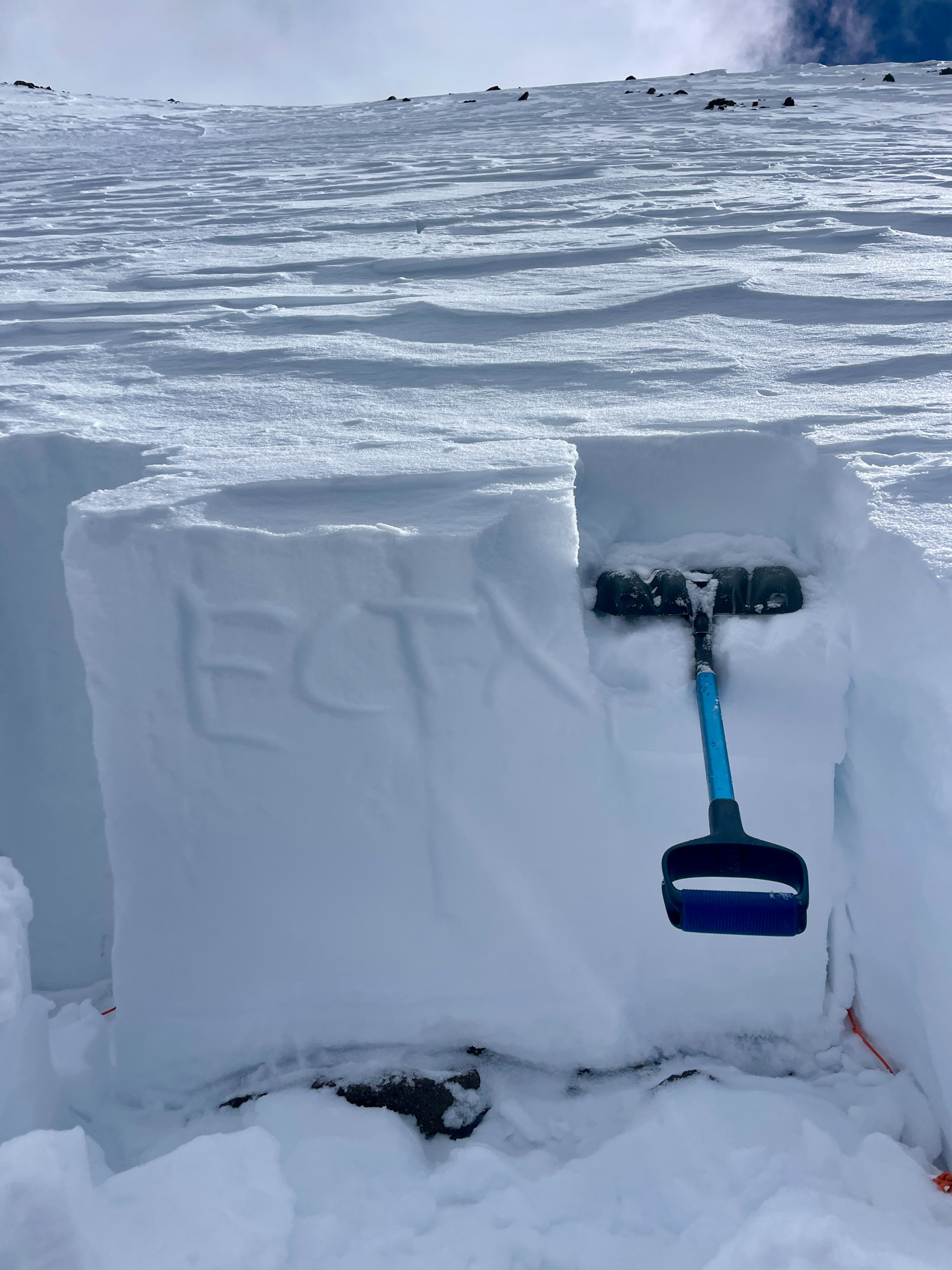
Overall, we conducted two test pits with results pointing towards a stabilizing trend, but specific areas may harbor a low probability, high consequence event if a skier or rider triggers a weak layer in thinner, shallow snowpack (20-30cm) which then propagates and creates failure across a slope, drainage or gully with a deeper snowpack (100-250cm). Results today reflected fair structure, moderate strength and low-moderate propagation propensity in both small column and large column tests. No cracking, collapsing or observed avalanches.
Weather
- Air Temp
- 25
- Cloud Cover
- scattered
- Wind Loading
- previous
- Recent Snowfall
- 0 cm
- Snow Avail For Transport
- small smounts
25-27*F Light to Moderate NW wind Few to Scattered with sporadic fog and cumulus clouds near ridgelines. No precip during day, rime is consistency melting and rarely evident and strong solar effects by PM.
Snowpack
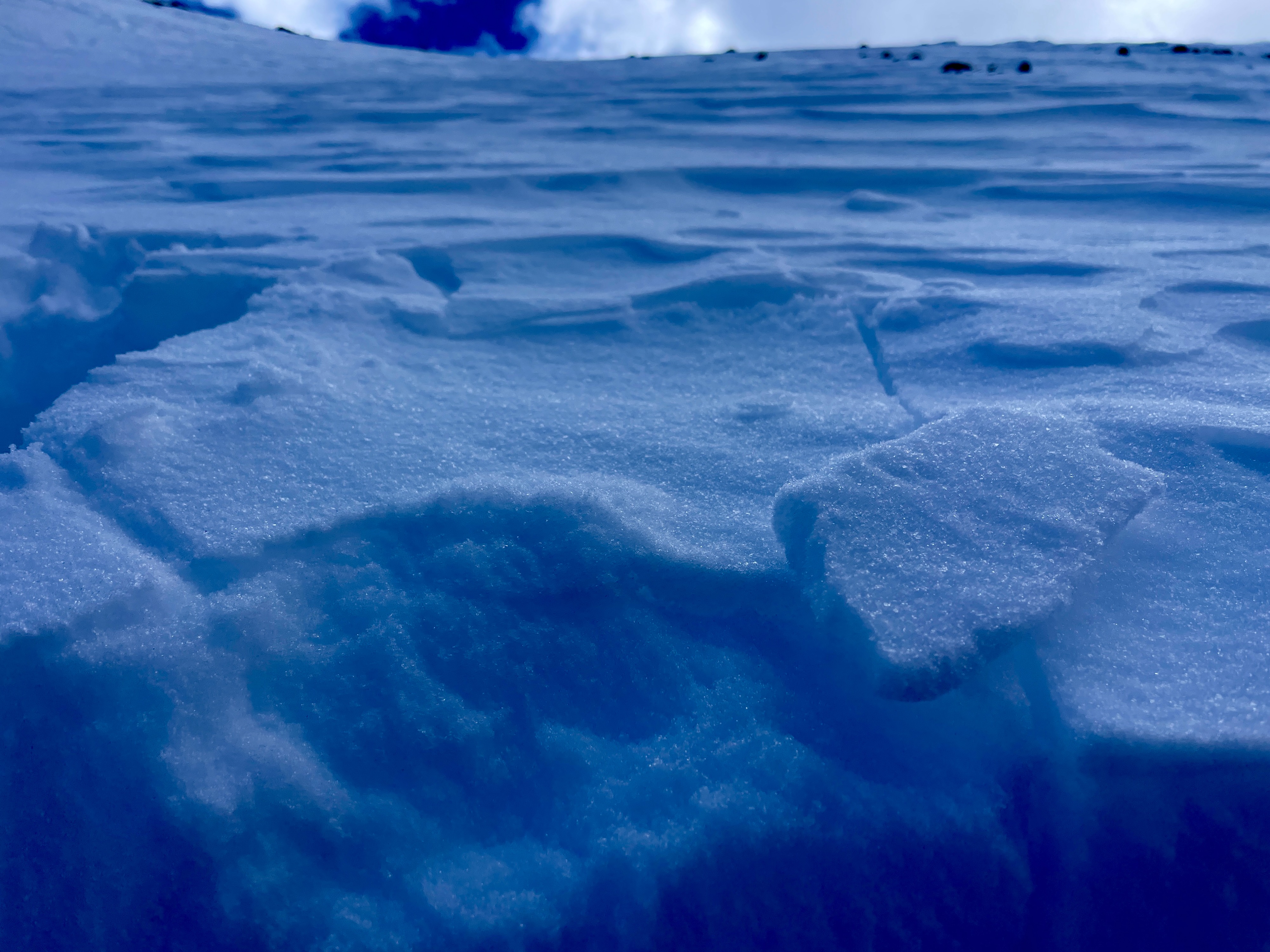
Surface: Wind stiffened F+ to 4F MF crusts present in AM with solar playing effect on southerly aspects by PM. These conditions are classically producing a progression of breakable crust to moistened to corn to supportable slush into the evening. Snowpack overall is still highly variable with northerly aspects holding onto potential wind slabs, deeper snowpack (50-100cm down) faceting and widespread depth hoar (1-4mm). Southerly aspects are harboring 1-3 MF crusts dependent on elevation and potentially creating facet factories over time. The cold clear nights with warm days may be creating near surface facets in bulk as we move into a potential pulse moving through.