
Quick report
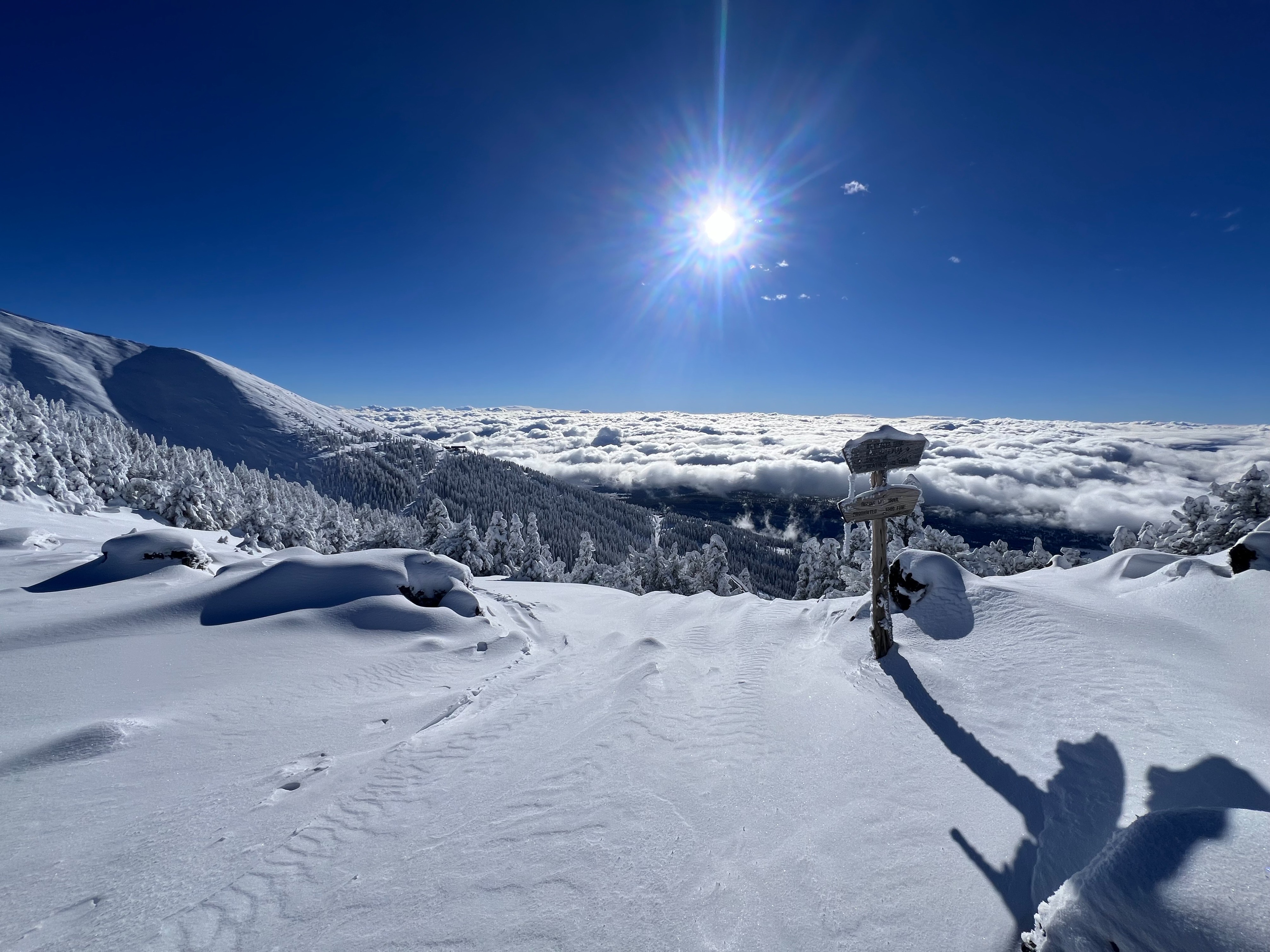
We observed several small surface instabilities upon ascending to the saddle; they were confined to the top 0-6 inches of snow.
Weather
- Air Temp
- 29
- Cloud Cover
- broken
- Wind Loading
- light
- Rain Elevation
- 8000
- Recent Snowfall
- 100
- Snow Avail For Transport
- large amounts
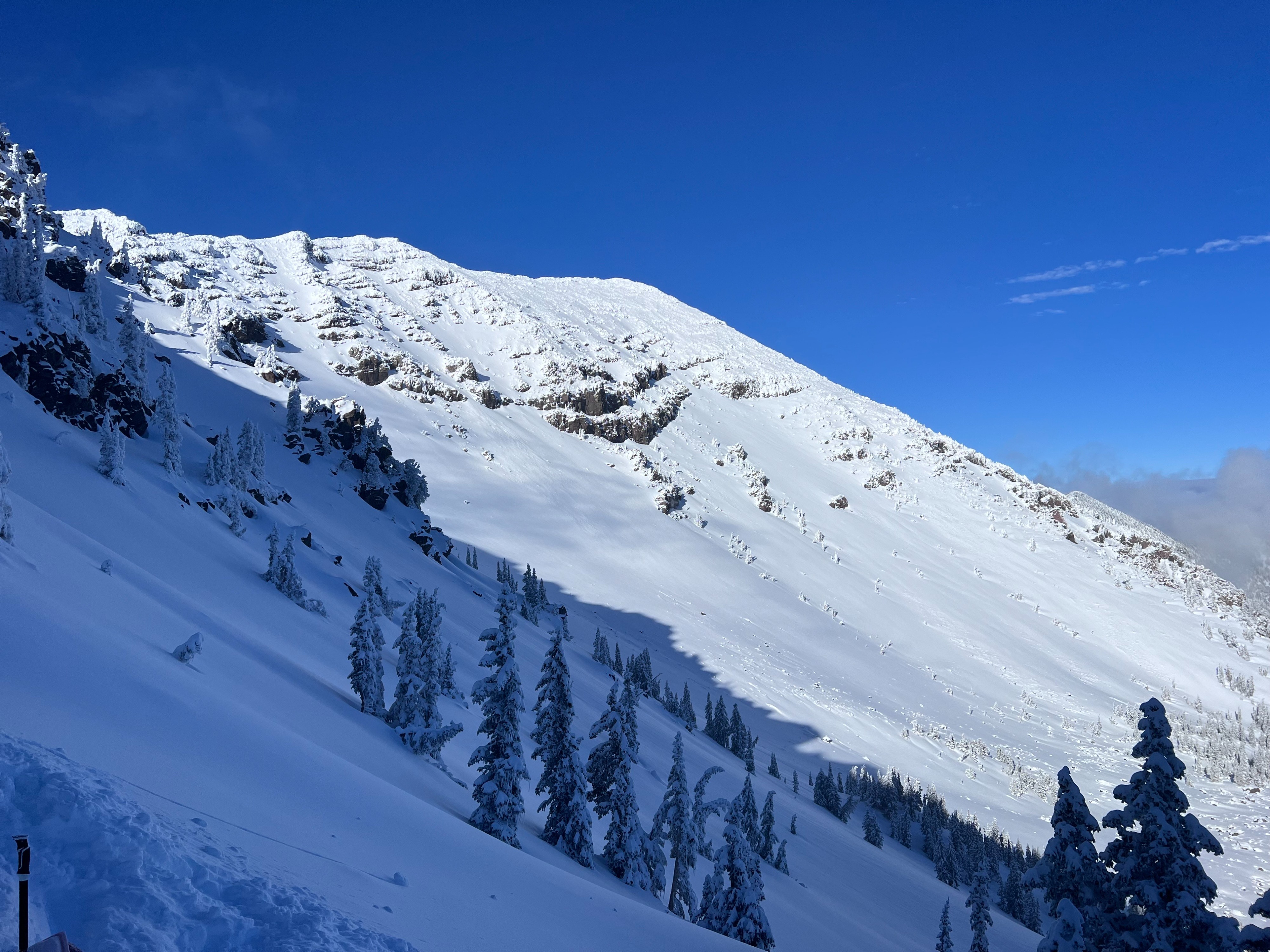
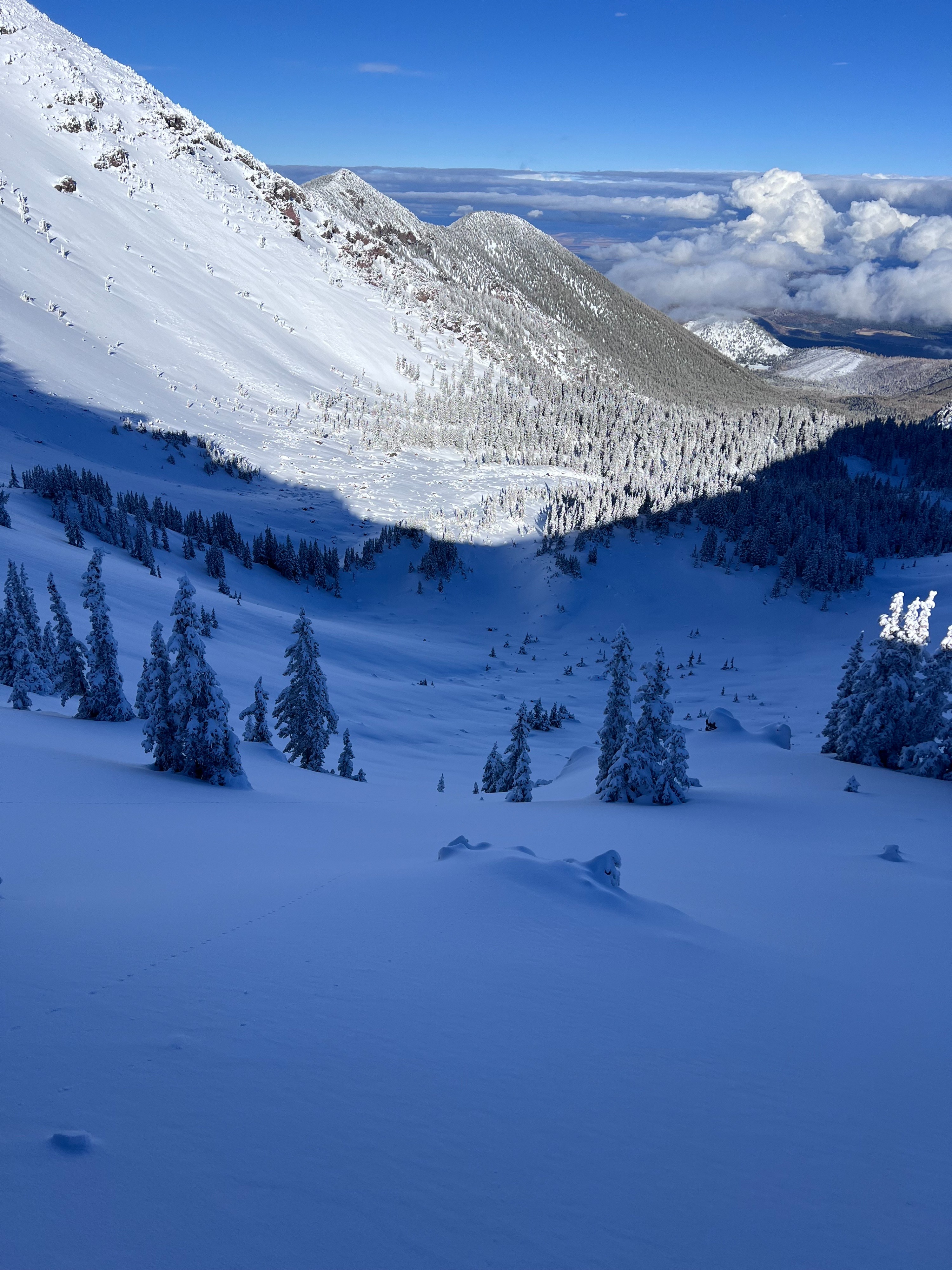
On Thursday, visibility was variable, alternating between periods of great and minimal visibility. We observed light to moderate southwest winds that were lightly loading leeward slopes. The last storm deposited about a meter of snow across the upper elevations of the Peaks. Within storm wind, loading appeared to be a little variable across the storm systems, with observations of loading on the North and East aspects.
Snowpack
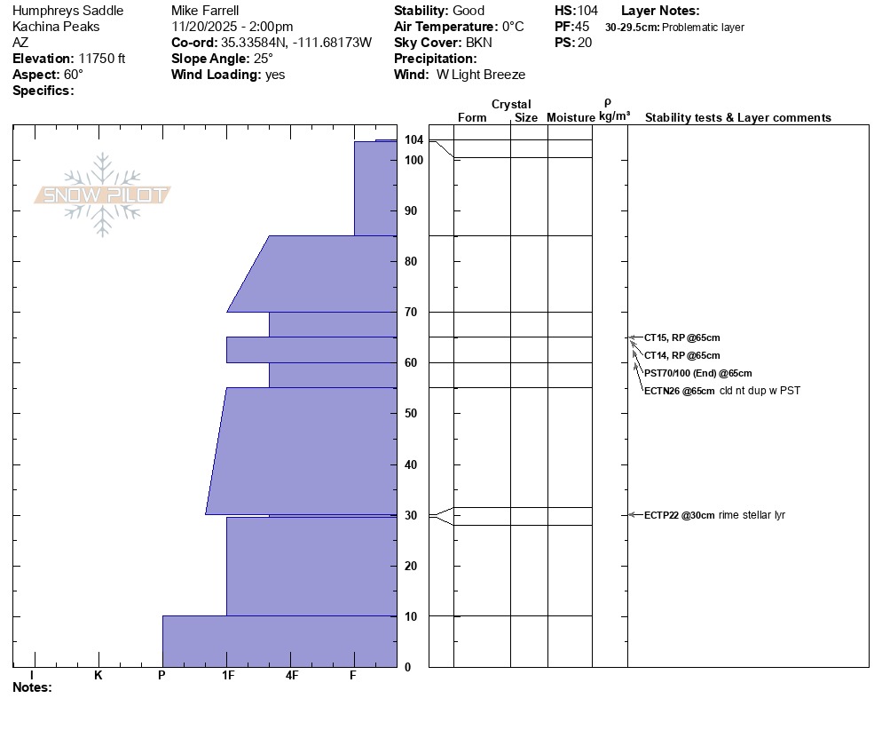
About a meter of snow is present on the upper elevations of the peaks, resulting from the last storm cycle. Adequate coverage is limited to the upper elevations (>10,800) and confined to more sheltered slopes with fewer obstacles. Several within-storm density changes were noted within the snowpack. Ski penetration was approximately 20 cm, with lower densities providing a fairly supportable layer. Overall, the snowpack displayed moderate strength, moderate to low energy, and moderate structure across our tour.
We identified several weak layers within the snow, likely due to density changes within the storm system. Most notably, we observed compression test failures ~40cm (CT14) below the snow surface. Finally, we did see propagation in a lower layer ~70 cm below the surface, but this propagation was isolated to a single ECT and was not reporduceable on further ECTs or PSTs.