
Quick report
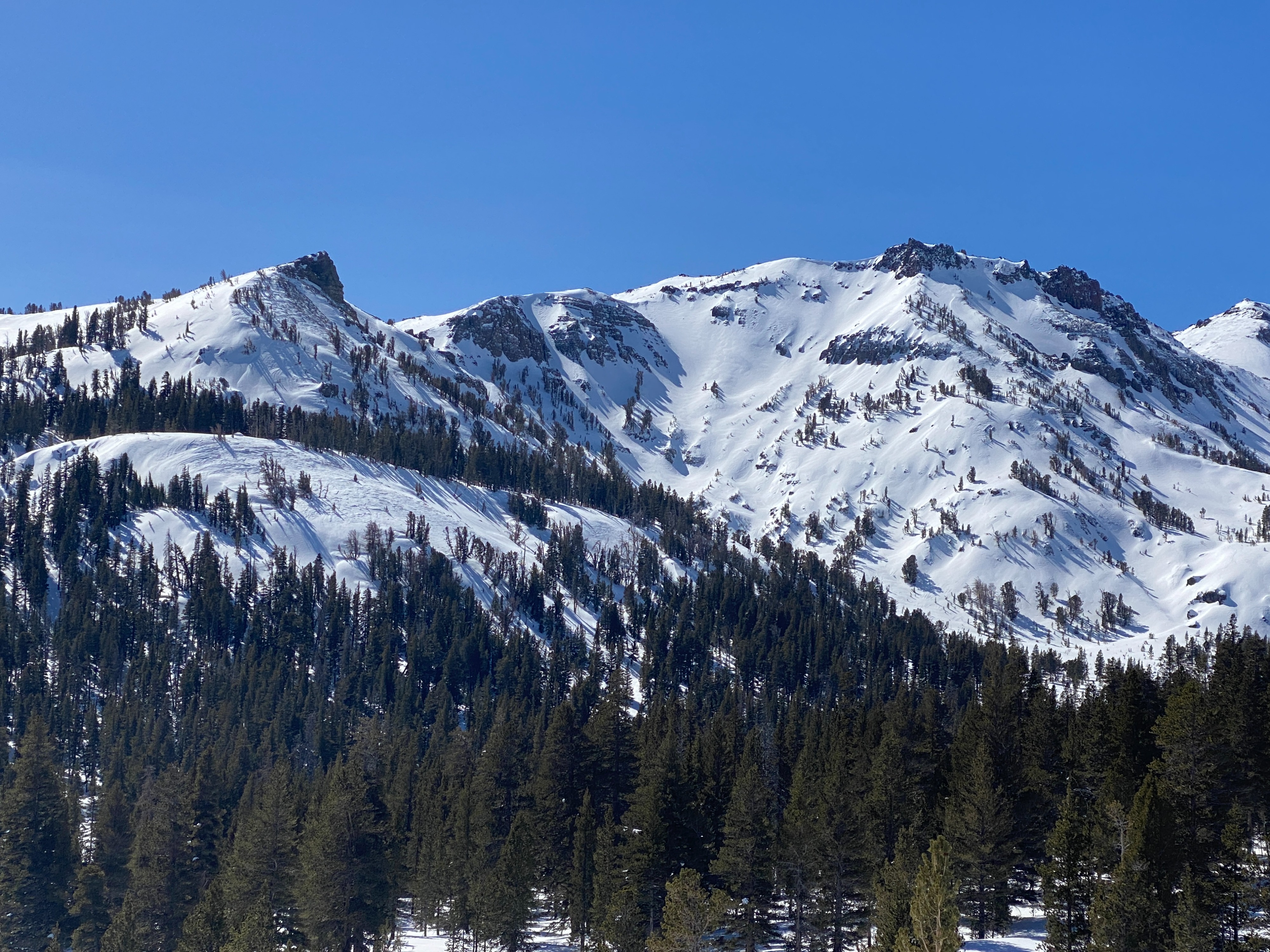
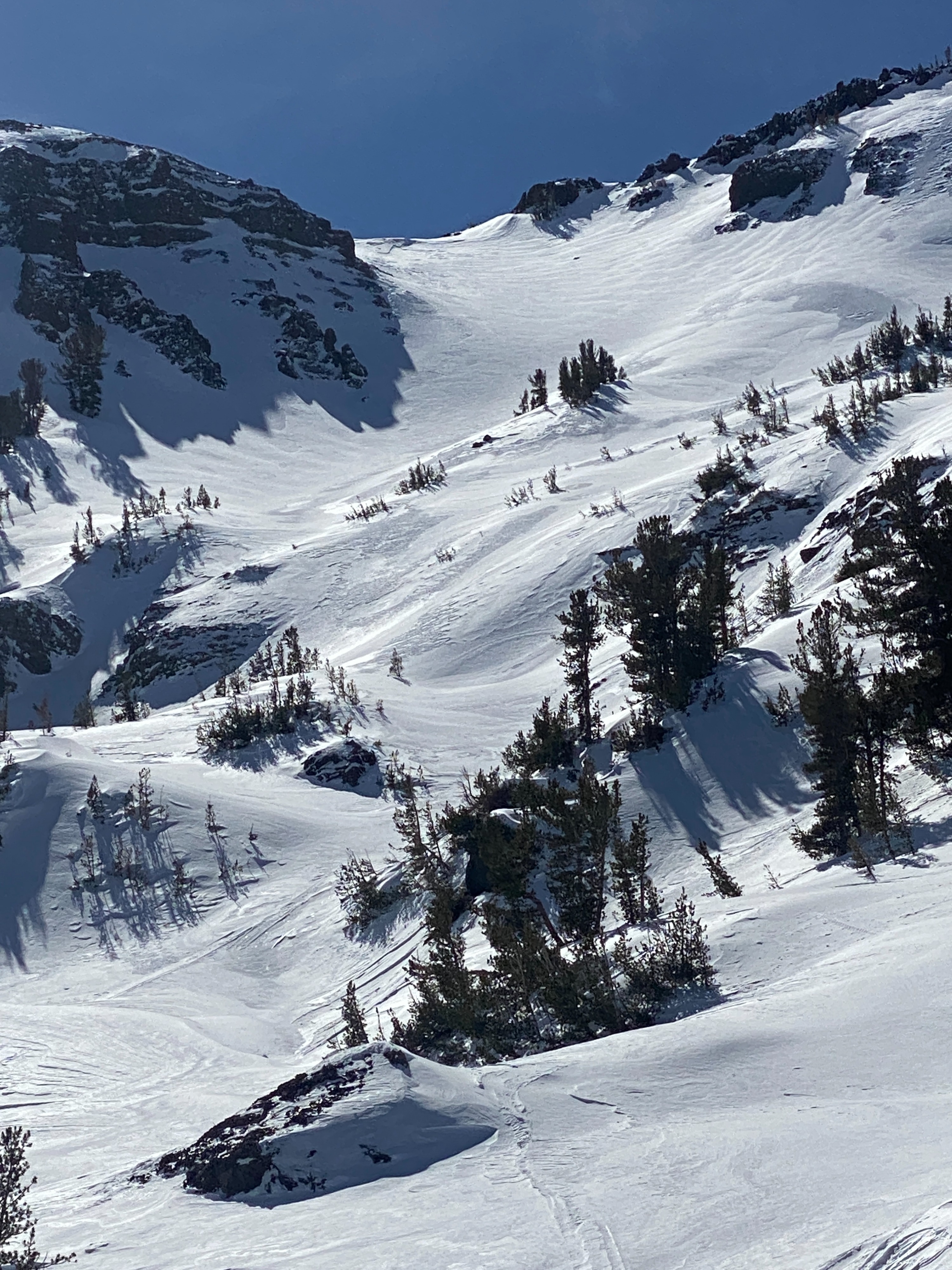
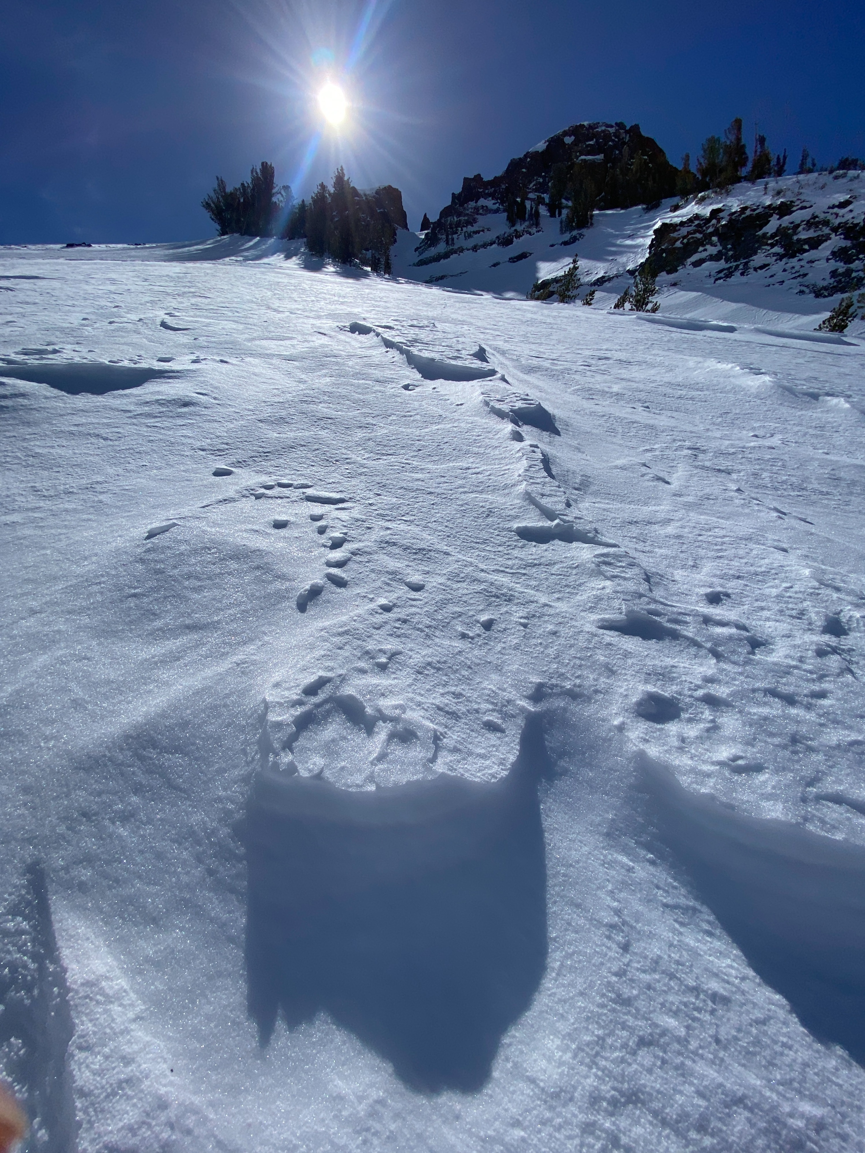
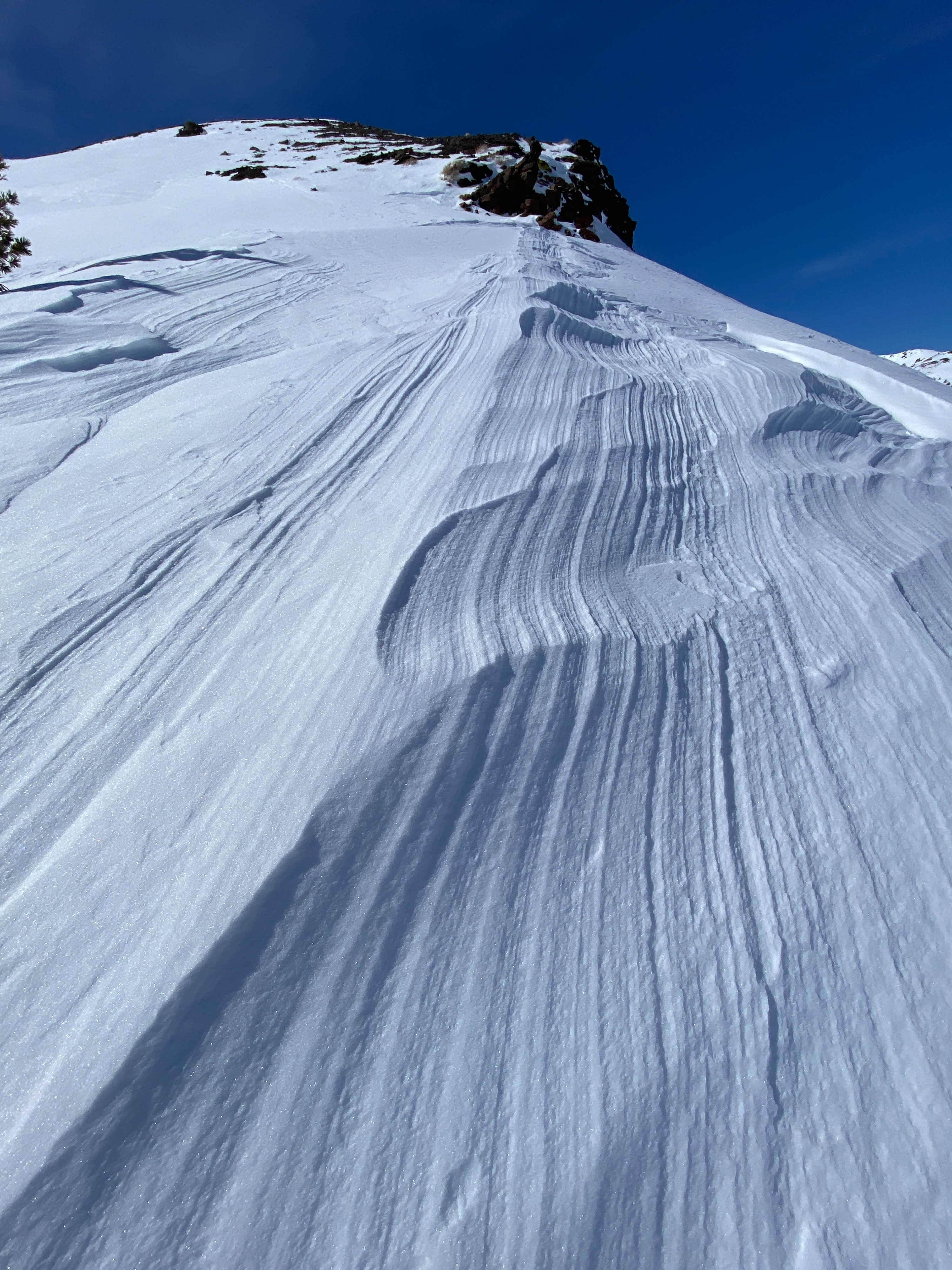
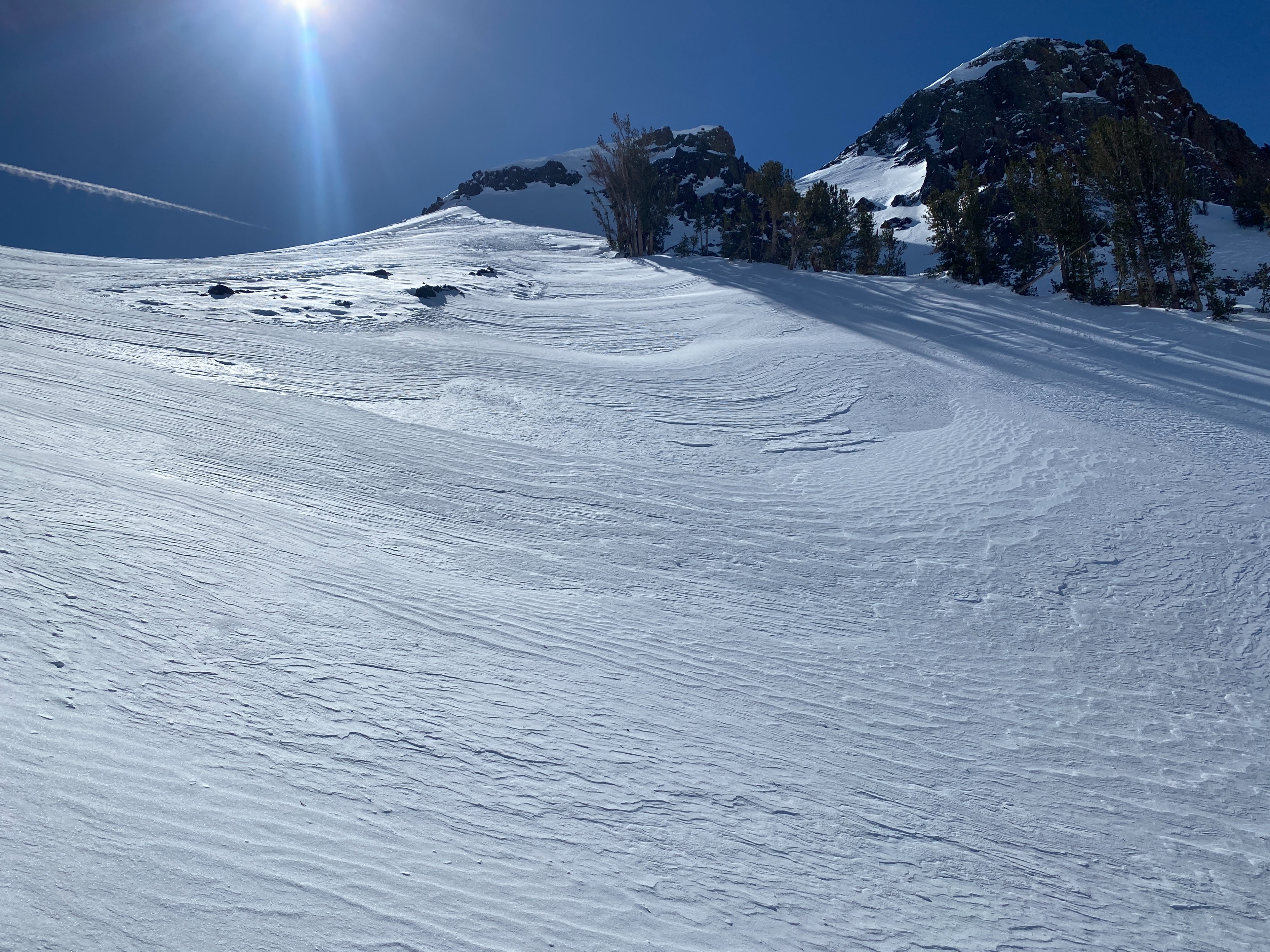
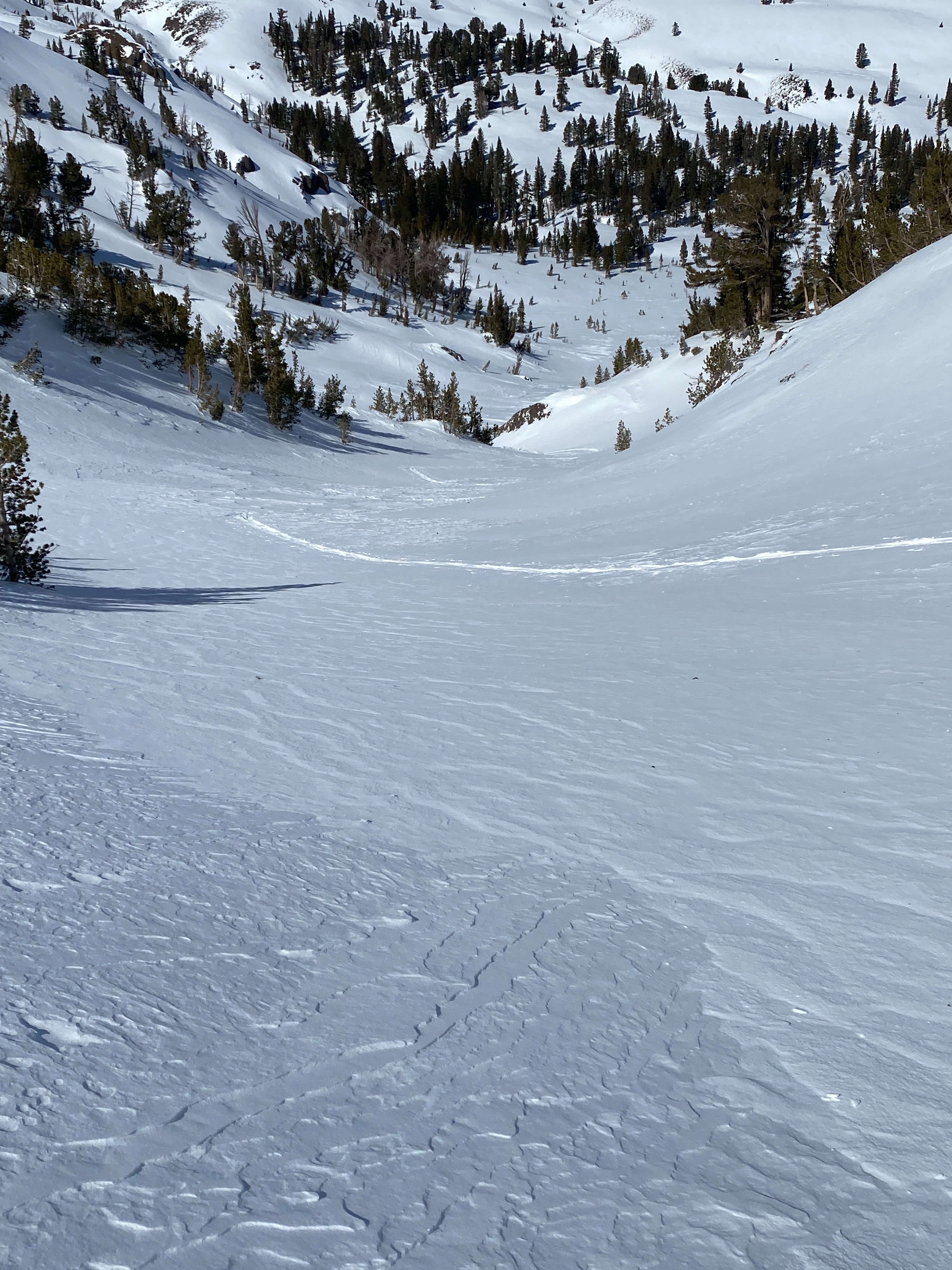
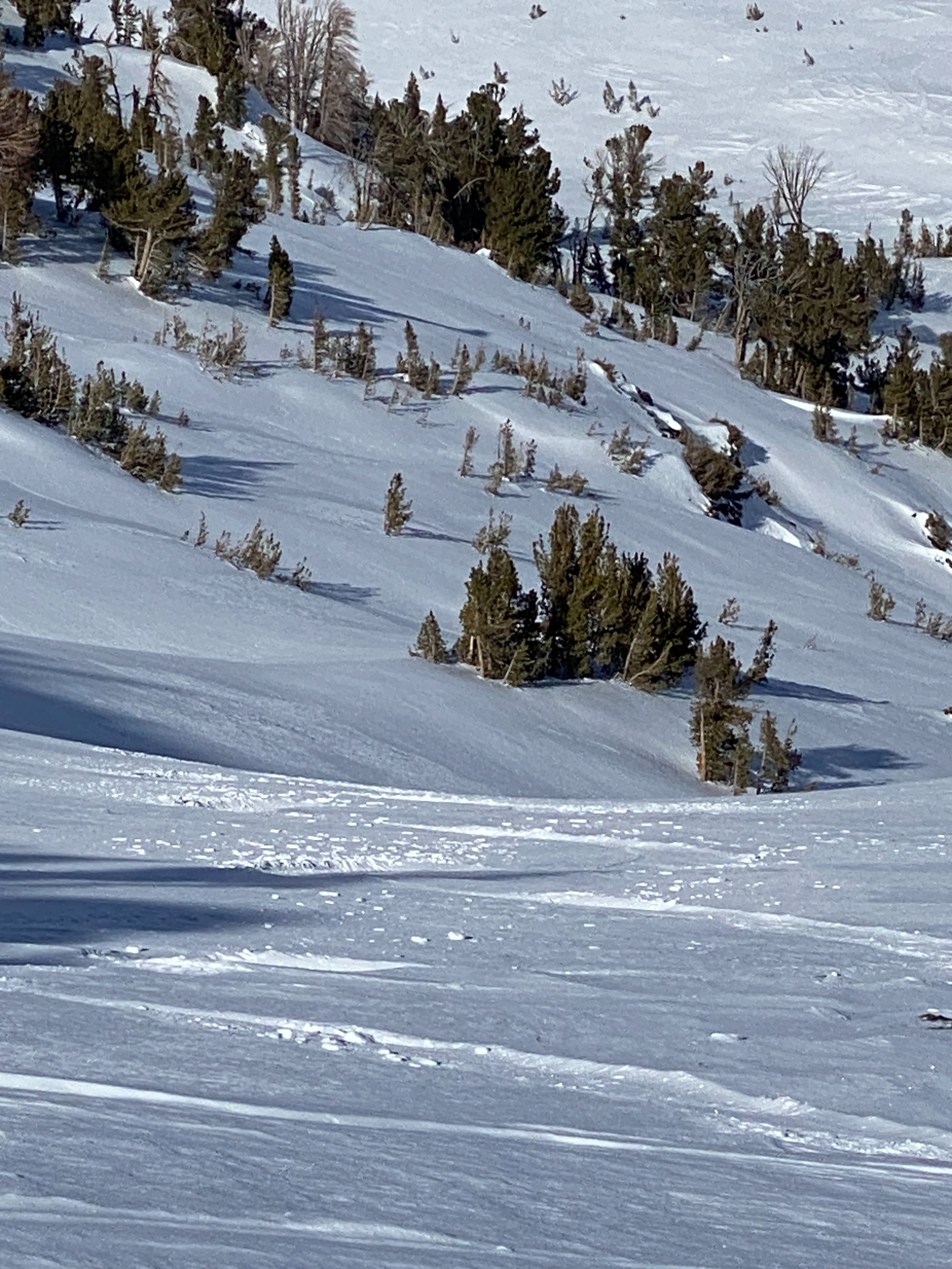
With a forecast of clear skies and calm wind, we toured into Alpine terrain around 10,000 feet to see if we could find the presence of wind slab formations or wind-affected snow. We traveled on a North aspect in steep terrain and found the snow to be wind-packed and locked up, with no signs of instability. Signs of wind-blown snow were everywhere across the landscape. We also kept our eyes on south-facing slopes to look for the presence of loose wet snow. Outside of a few roller balls we did not see any movement on solar slopes. It felt like the calm after last week's wind event as well as a lull before the next storm that is expected to hit starting on Thursday. We saw "reverse tracks" in the area we toured in. This is when a ski or a machine track has left its imprint in the powder snow and then the wind blew away all the snow around the track, revealing a reverse track; the track is no longer beneath the snow, it is on top of the snow. While descending the slope we felt areas of packed powder and mostly firm chalky edgable snow. A few patches of an icy sheen on the surface were observed in and below the treeline pointing to a past freeze-thaw cycle from the weekend warm up. Overall today felt like a low-hazard day as far as instability in the snowpack.
Weather
- Air Temp
- 32
- Cloud Cover
- few
- Wind Loading
- none
- Recent Snowfall
- 0
- Snow Avail For Transport
- none
Calm and clear with temps around freezing and strong solar radiation.
Snowpack
Where we probed we had 200 cms of consolidated right side up snow. The upper part of the pack is wind effected, chalky snow in and above treeline. Shady aspects below the treeline had settled cold snow. Ski penetration in the trees 5-10 cm's, ski penetration in the and above treeline was 0"