
Quick report
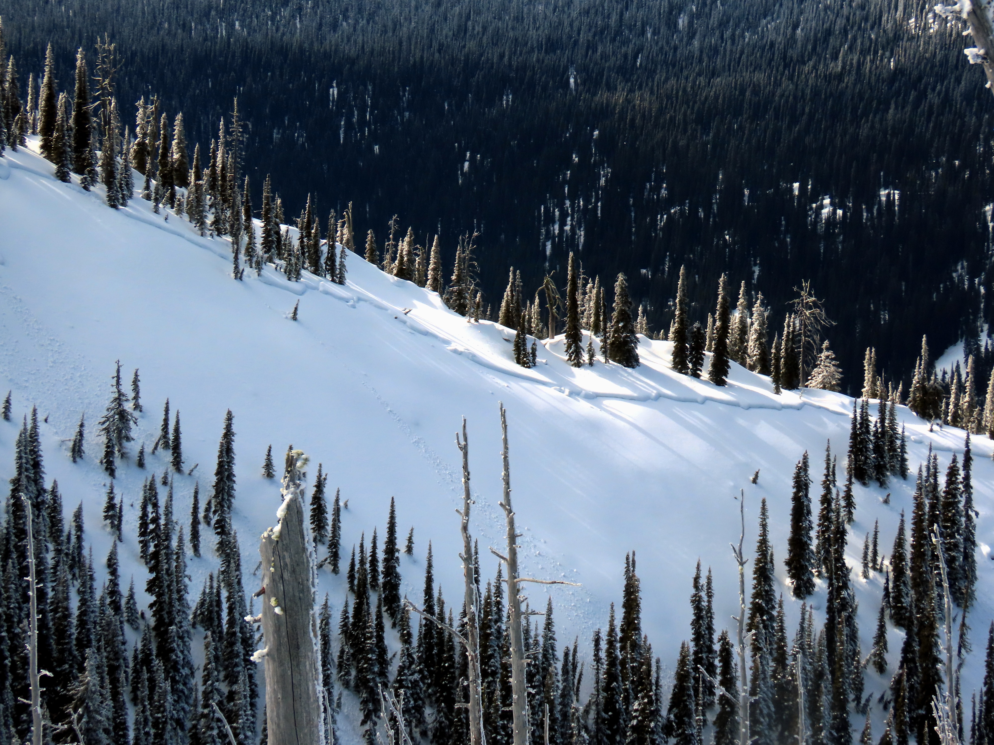
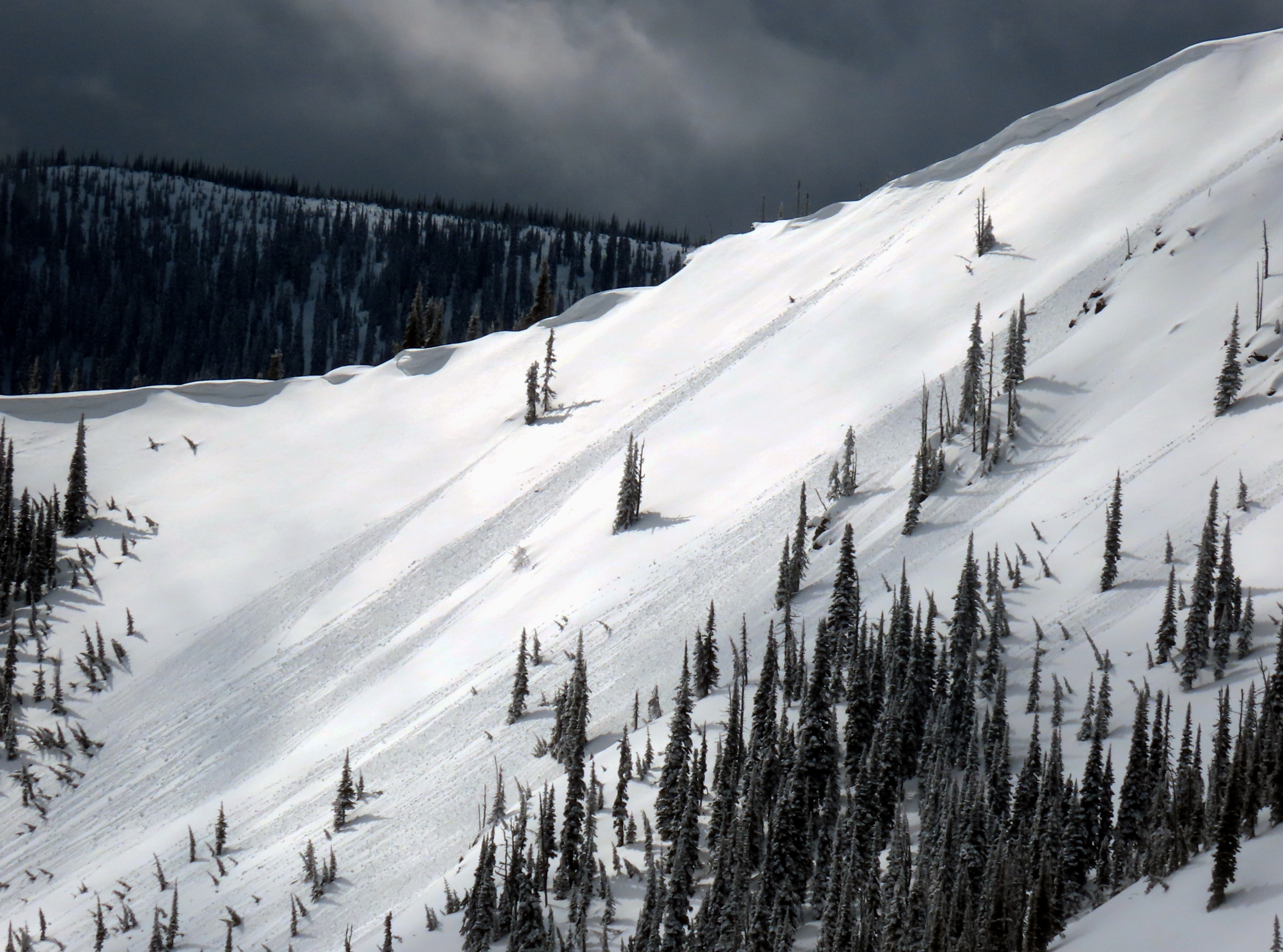
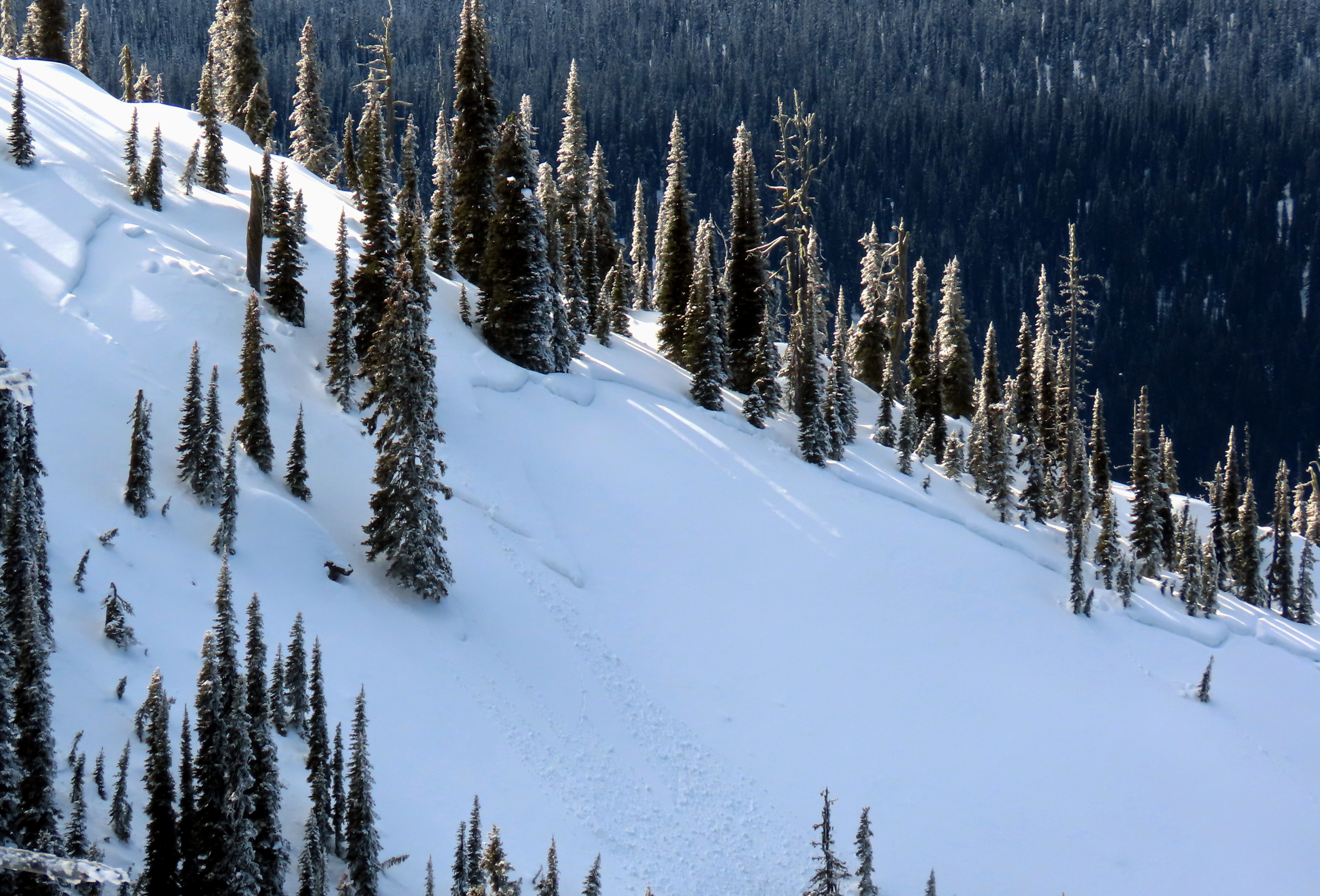
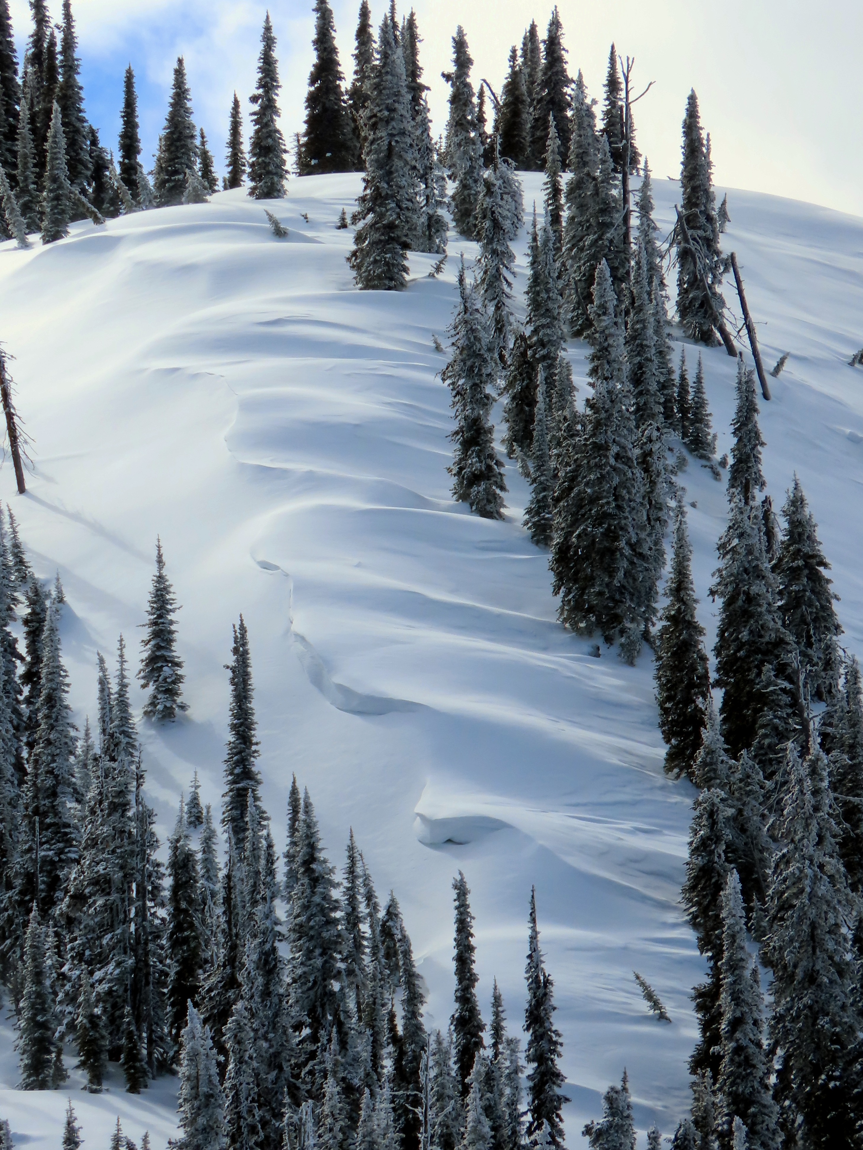
On February 21st, we went to Kimmerly Basin in the southern Whitefish Range and remotely triggered avalanches, experiencing consistent collapsing. We wanted to see how the snowpack has changed in an area where conditions were very sensitive.
- We experienced no signs of unstable snow. No collapsing and no triggered avalanches.
- The upper snowpack is settled and much more supportive of the weight of a rider. Ski penetration was a couple of inches.
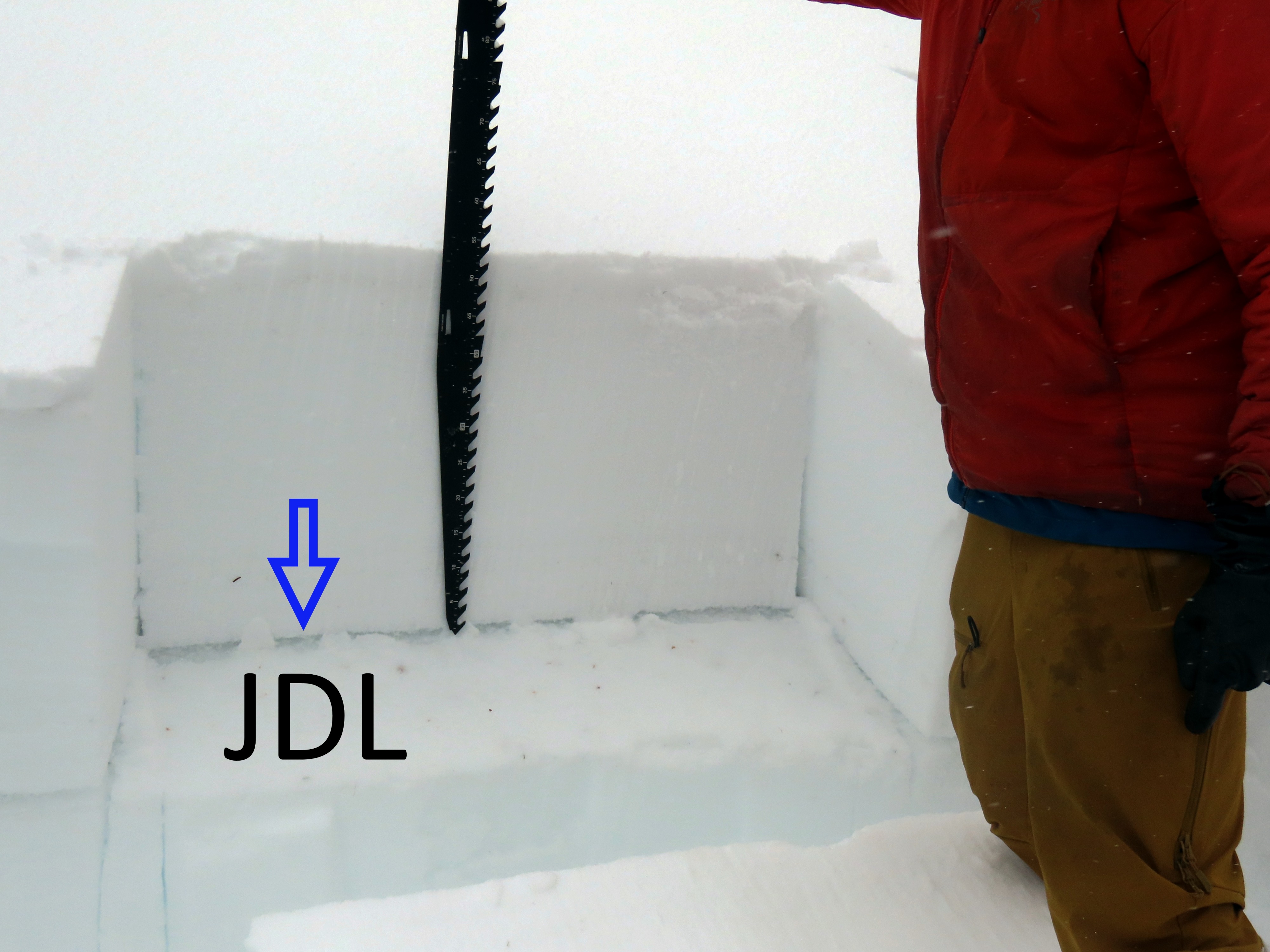
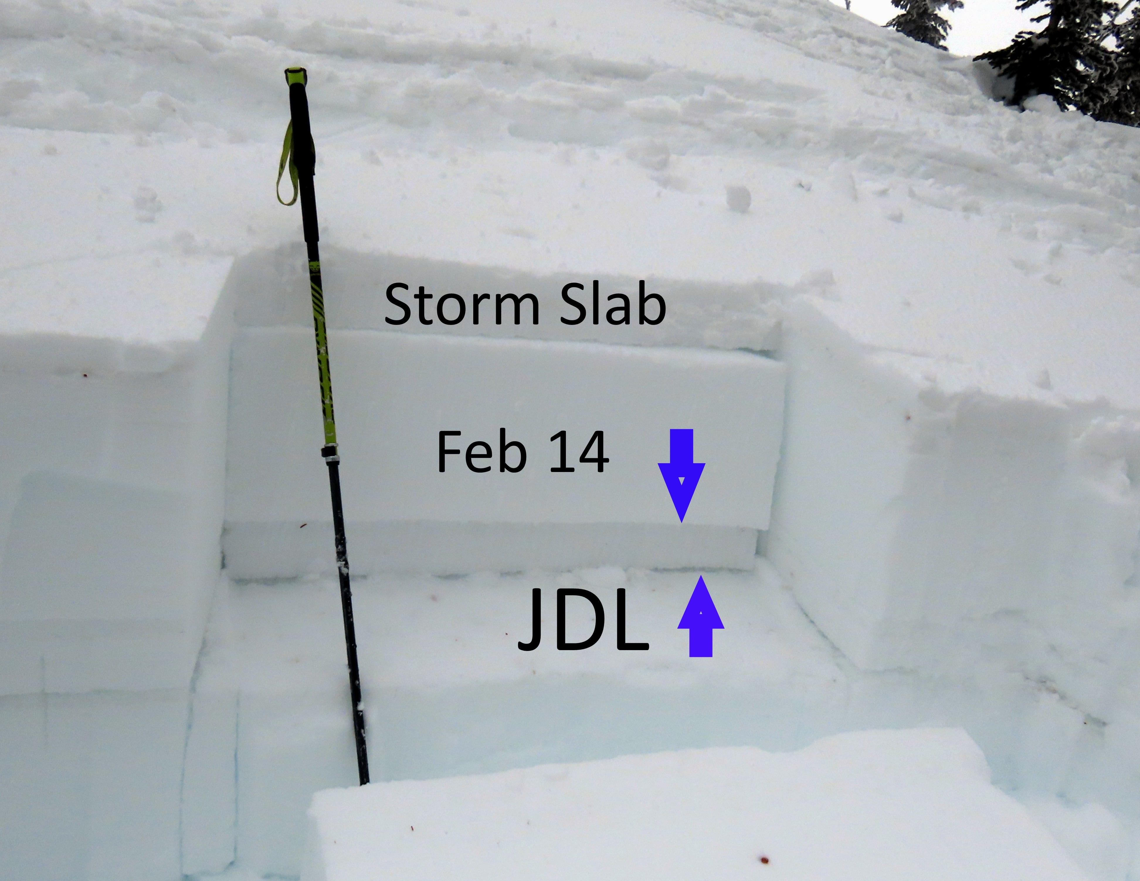
- In both of the snowpits we dug, we found the layer of surface hoar responsible for all of the recently triggered avalanches. Snowpit tests showed mixed results, which we attribute to the depth at which the weak layer was buried.
- Snowpit tests verified that you'd be more likely to collapse the weak layer where it is buried closer to the surface
Despite the lack of signs of instability, we still gave steep slopes a very wide buffer. The likelihood is waning, but the size of the avalanche that could come down remains the same.
Weather
- Cloud Cover
- broken
- Wind Loading
- previous
- Rain Elevation
- 6000
- Recent Snowfall
- 12
- Snow Avail For Transport
- small smounts
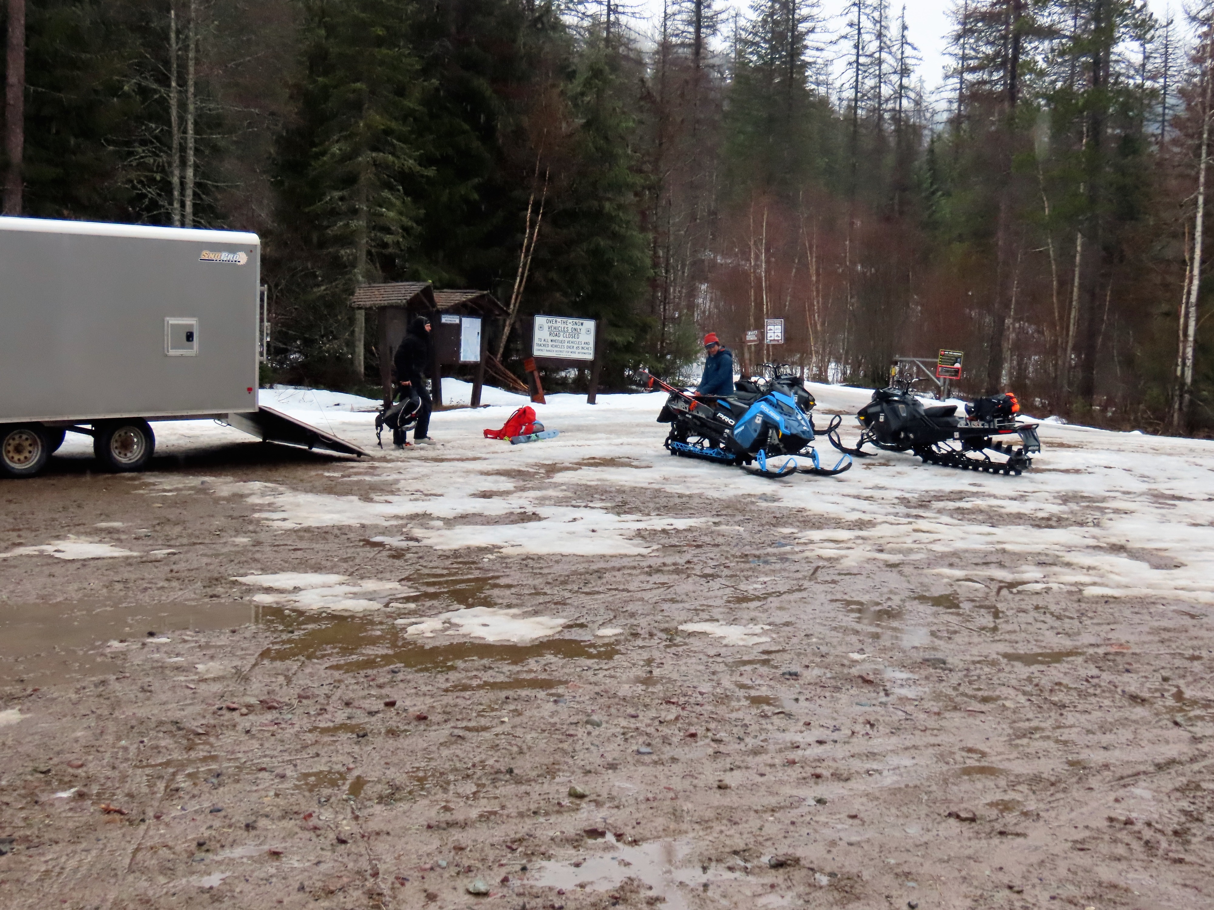
Started the sleds at Canyon Creek in the rain. We drove out of the cloud once we got into the basin. Skies were mostly broken. Light winds.
Snowpack
We dug two snowpits.
NNE aspect at 6400. ECTX. PST45/100 END down 75 cm. We took a little bit of snow off of the ECT test and gave it another wack and the block shot off into our laps. The January Drought Layer (surface hoar) was 75 cm below the surface. The slab above was 4 finger to 1 finger hard.
N aspect at 7040. ECTP13 down 53 cm on January Drought Layer. The slab here was thinner than we expected. We presumed it was due to wind transport.