
WMR - Mostly inbounds with a quick foray to the notch and near the Radio Towers
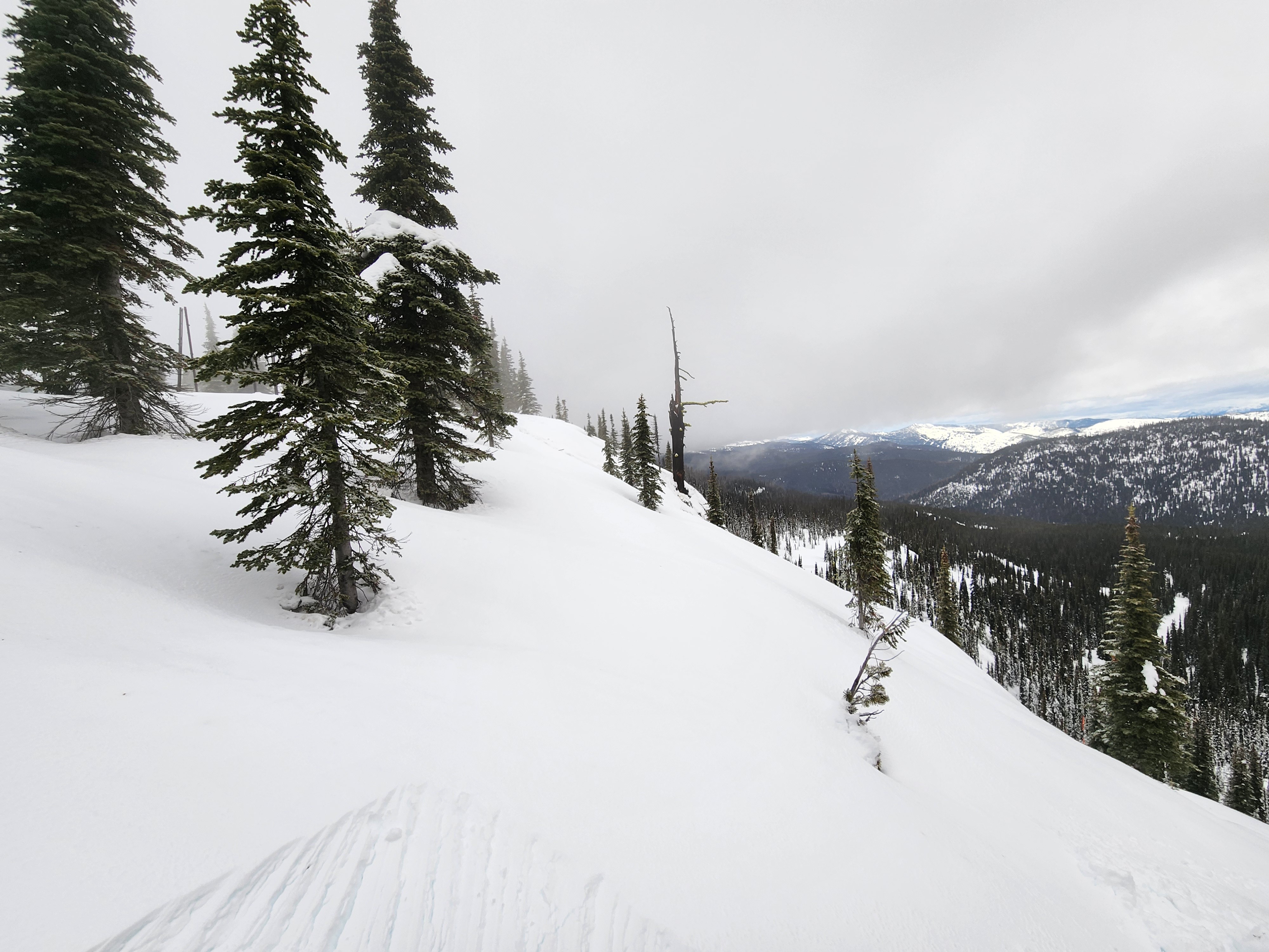
Quick report
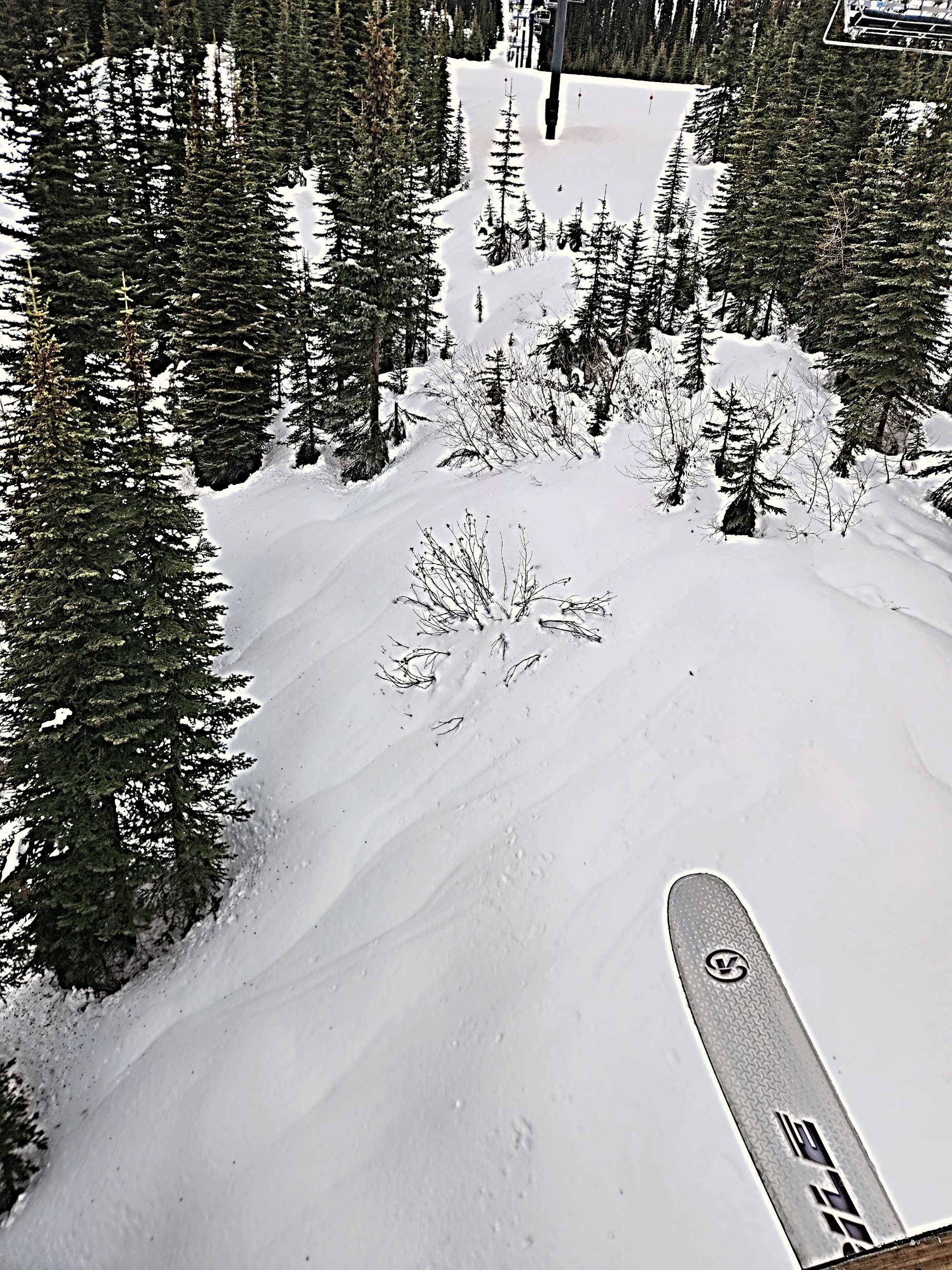
With biblical amounts of rain having fallen over the forecast area in recent days, we opted for the safer upper-elevation bands via the chairlift. There, we found a thin skiff of new wet snow sitting atop a very weak, barely formed crust. Beneath this “baby crust,” the upper snowpack was sopping wet and unsupportive. Below about 6000 feet, rain runnels were widespread and deep. After several days of light snow, heavy rain, and wind, instability appeared to have peaked the day before. We pushed as best we could we could on some steep test slopes, but couldn’t get any snow to move. Conversations with WMR Patrol indicated they had similar results Thursday morning and reported rain reaching the summit until about 10 AM.
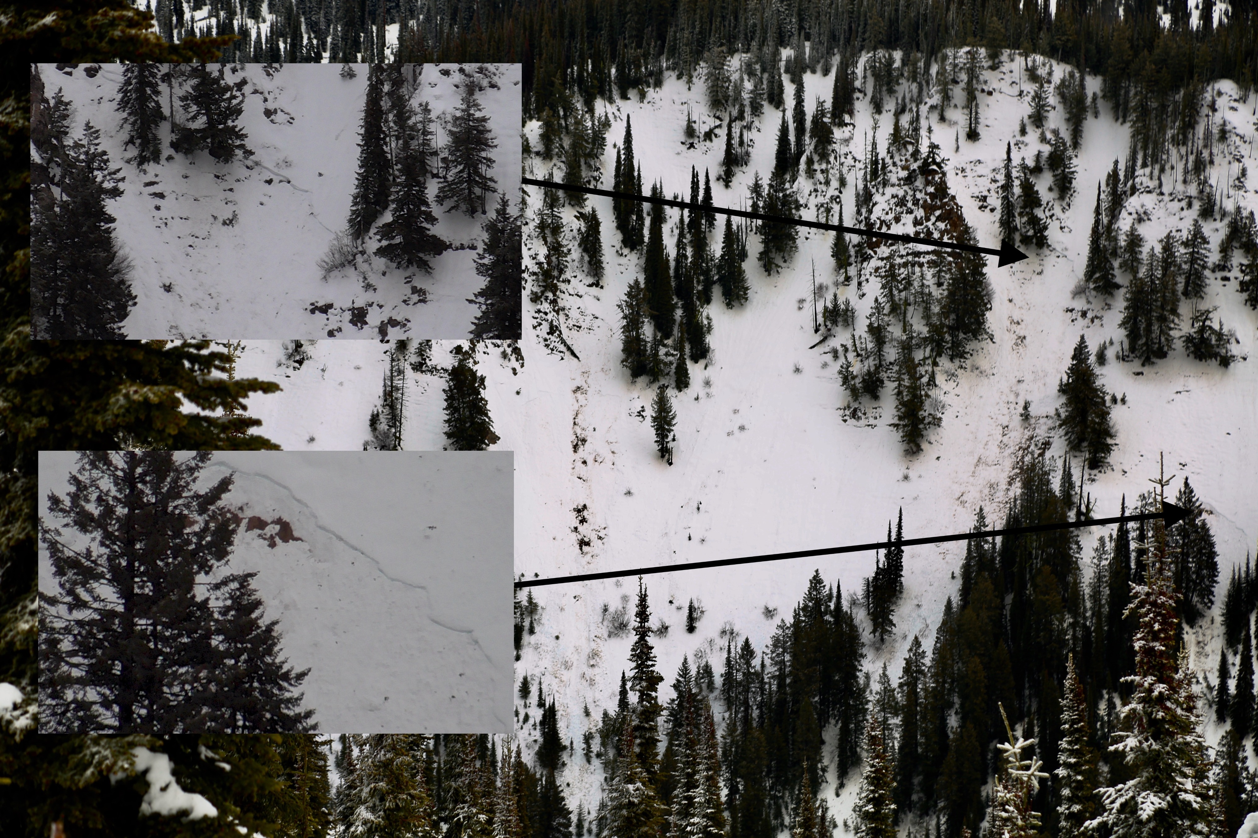
We observed some recent small slab avalanches in steep terrain, along with plenty of evidence of prior wet loose activity, but saw none during our tour. Winds were starting to gust, but it would take a major gale to mobilize the current surface snow.
Video to follow.
Crown lines were sharp so these appeared fresh, perhaps at the onset of the rain on Wednesday evening.Weather
- Cloud Cover
- overcast
- Wind Loading
- none
- Rain Elevation
- Summit - at least 6700'
- Recent Snowfall
- 0-1
- Snow Avail For Transport
- none
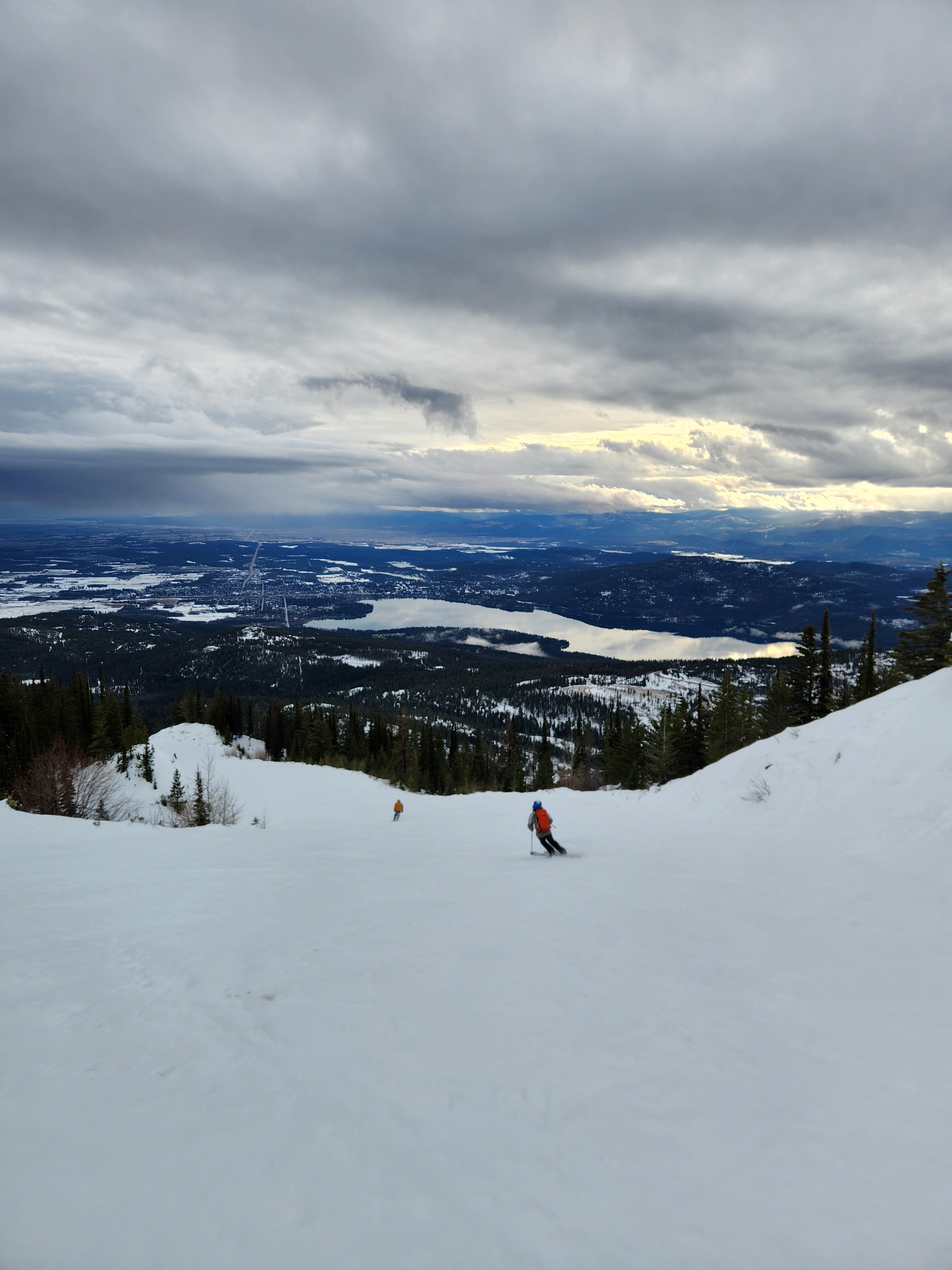
It was a very pleasant afternoon at WMR. The cloud deck lifted, yielding views toward GNP and the Flathead Valley. The cloud came back down to the summit later in the afternoon. Winds were moderate out of the west-southwest.
Snowpack
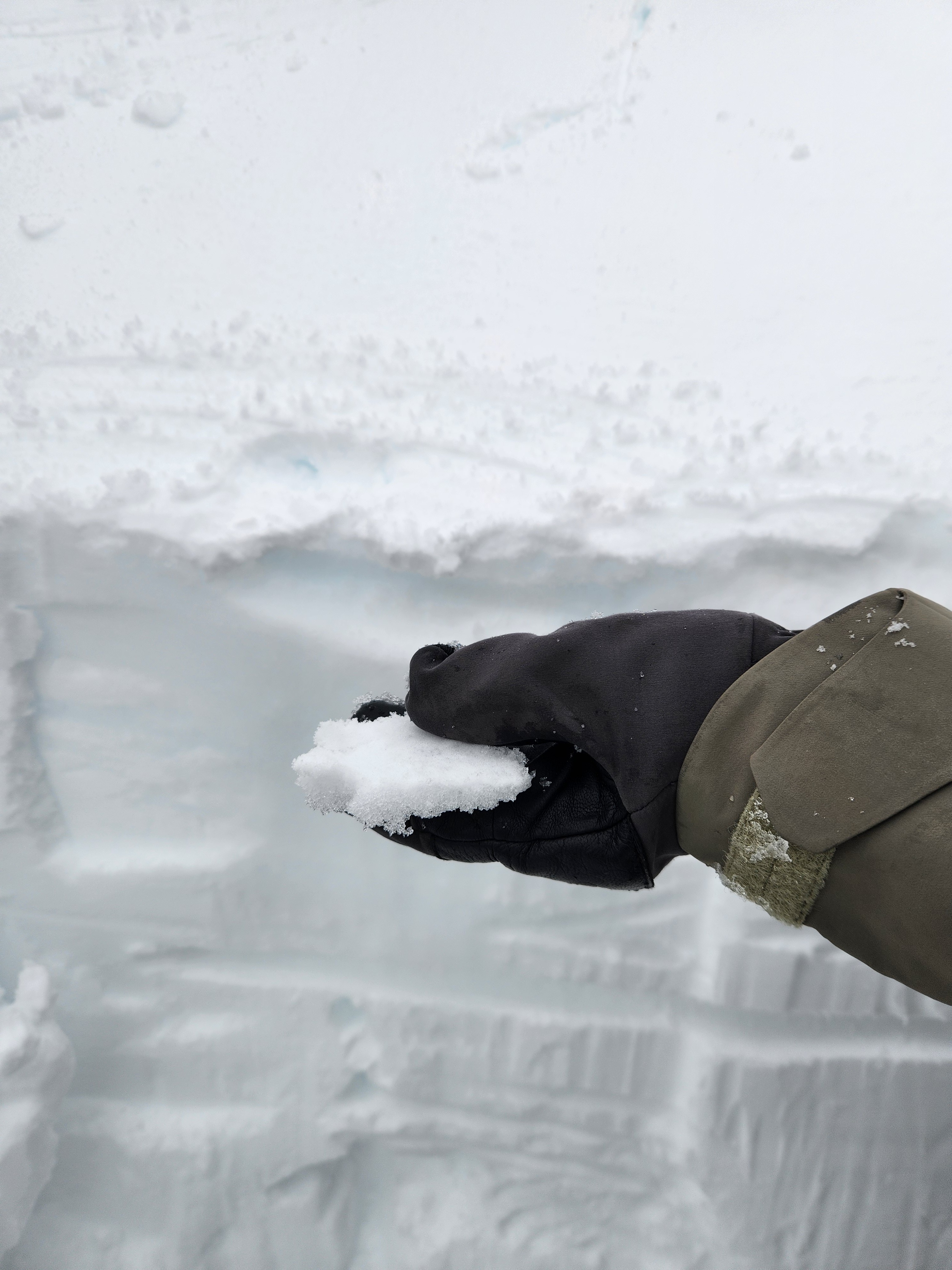
Off-piste, boot penetration was full leg. Though a surface crust was starting to form, it wasn't anywhere near supportable at 3:00 pm.
We dug two very quick snow profiles to observe the wetting front and assess moisture deeper in the snowpack.
Northeast aspect at 6650' - HS 143 cm
The upper 25 cm was soaked, it was moist down to the upper 45 cm, and fully dry below that.
Telemetry and the lack of runnels at this elevation suggest that much less liquid water fell at this elevation during this AR (+/.25")
South aspect at 6000' - HS 69 cm
The upper 25 cm was soaked, but the snow was moist all the way to the ground.
Copious runnels at this elevation suggest slopes 6000' and below were pummeled with rain.
Avalanche
- Size
- D1 R2
- Type
- SS
- Aspect
- SW
- Trigger
- N
- Elevation
- 6100 ft
Two recent D1 storm slabs - propagation was actually somewhat wide, but crown depth was very shallow. Plenty of roller balls, pinwheels, and wet loose debris, but we didn't see anything big enough to bury or injure a human.