
Quick report
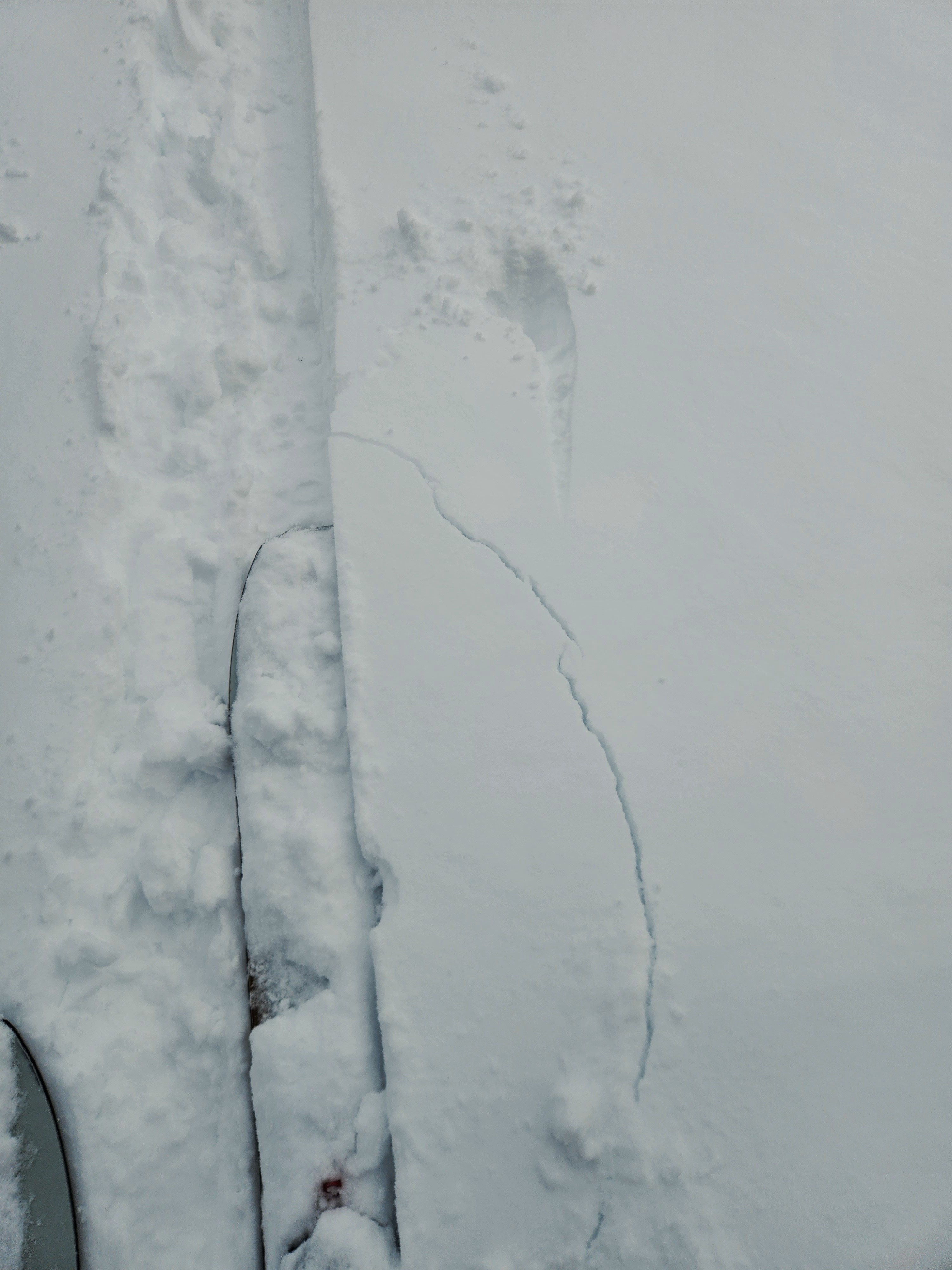
- Cracking
- isolated
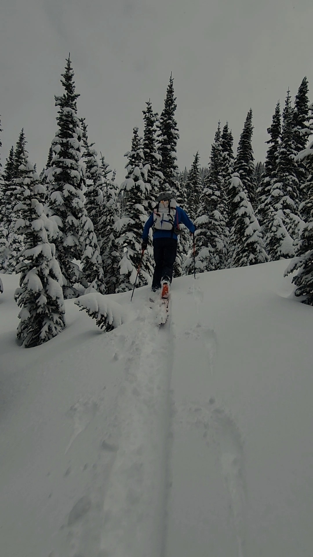
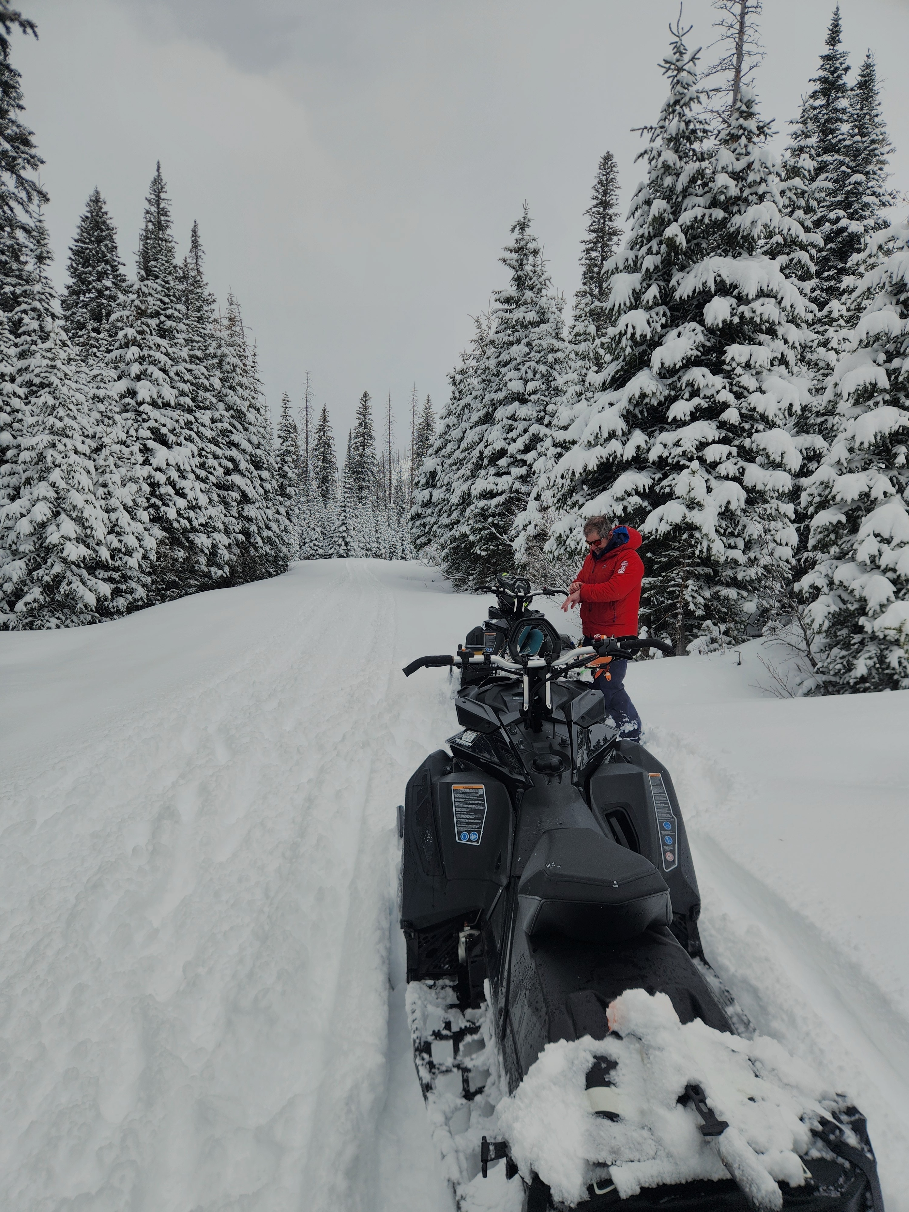
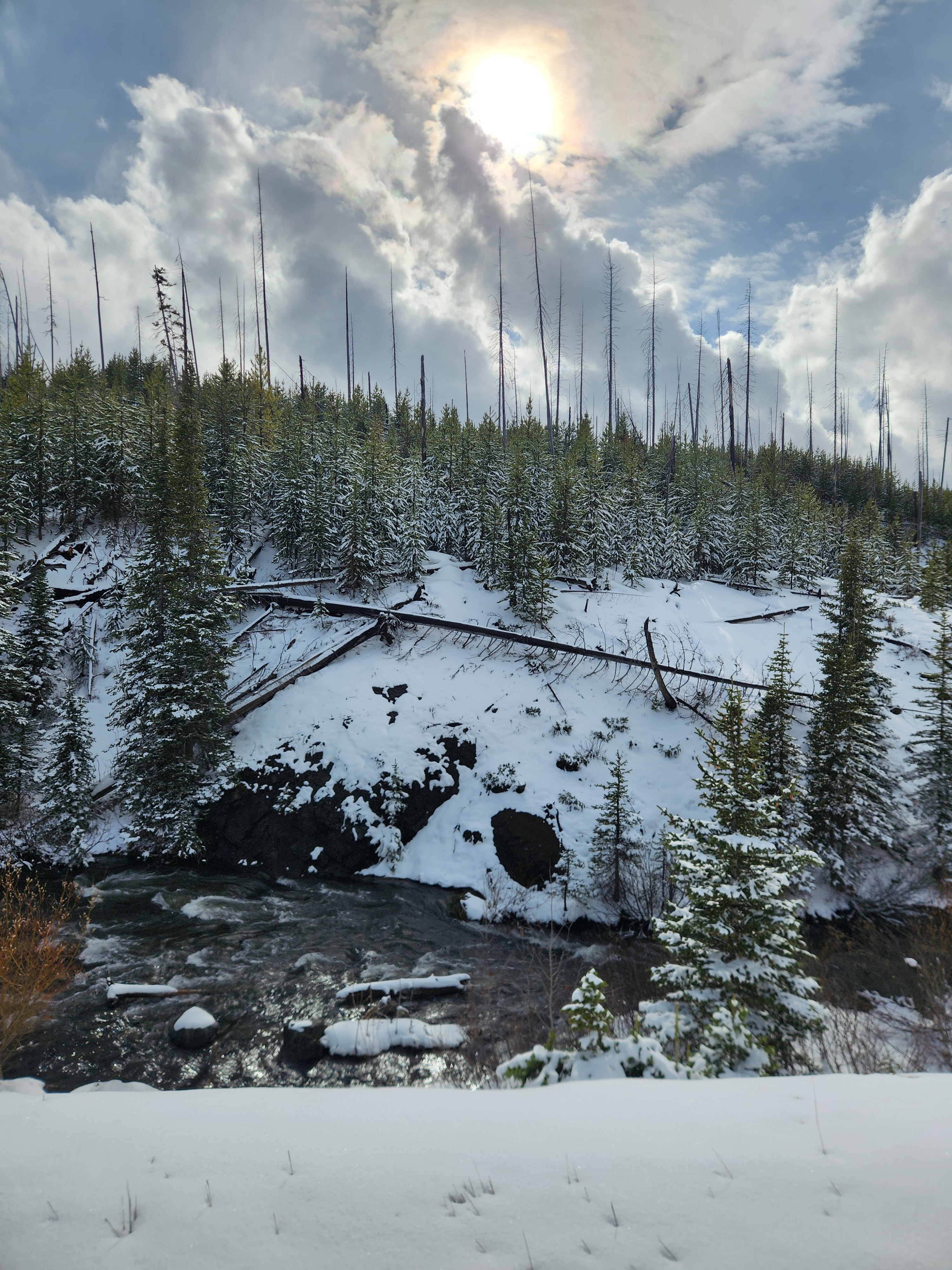
We traveled to the Continental Divde to see how the unusual storm track affected conditions.
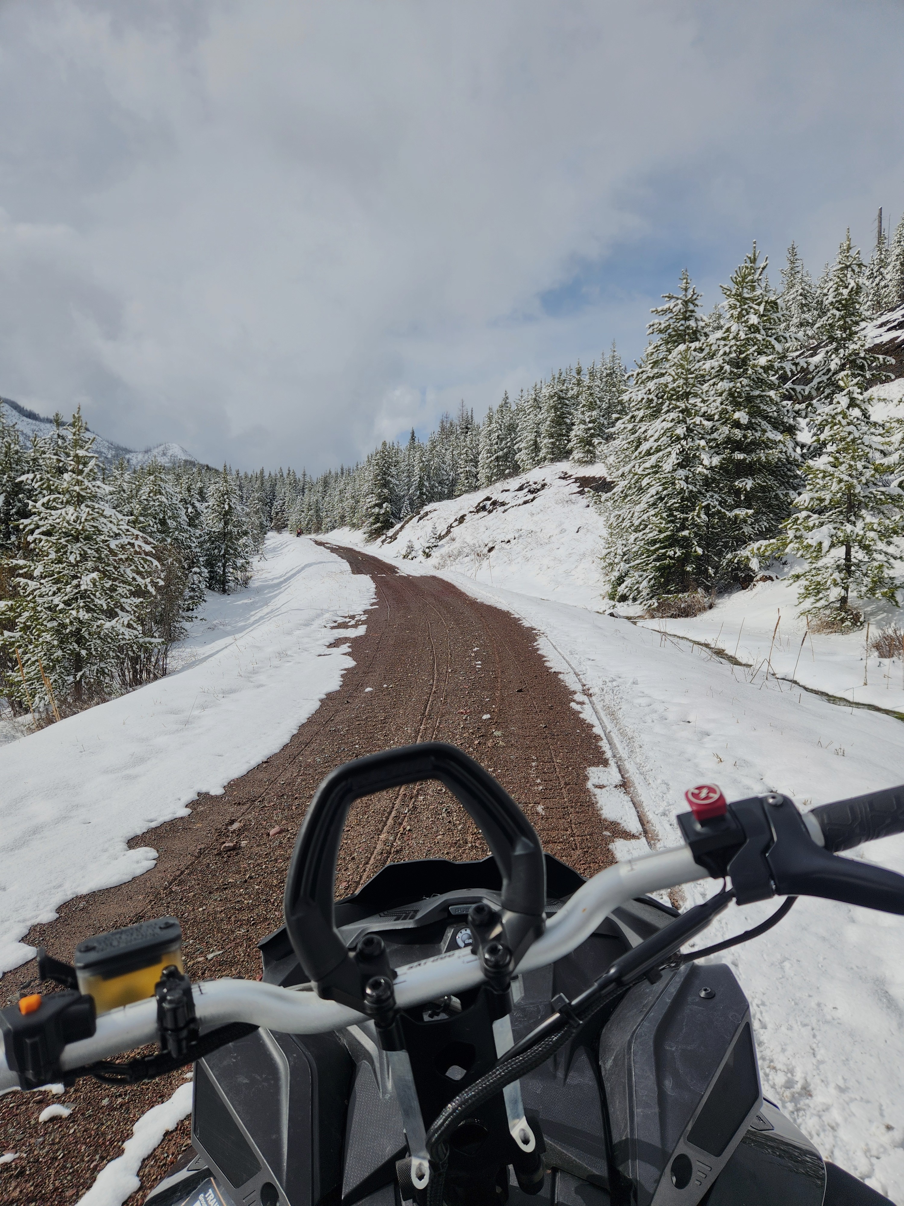
- 6-12 inches of storm snow above about 5000 feet. Dry in the AM, but increasingly moist as the day progressed, despite cloud cover, because of intense solar radiation. Moist to wet below 6000 feet on slopes facing the sun by mid afternoon.
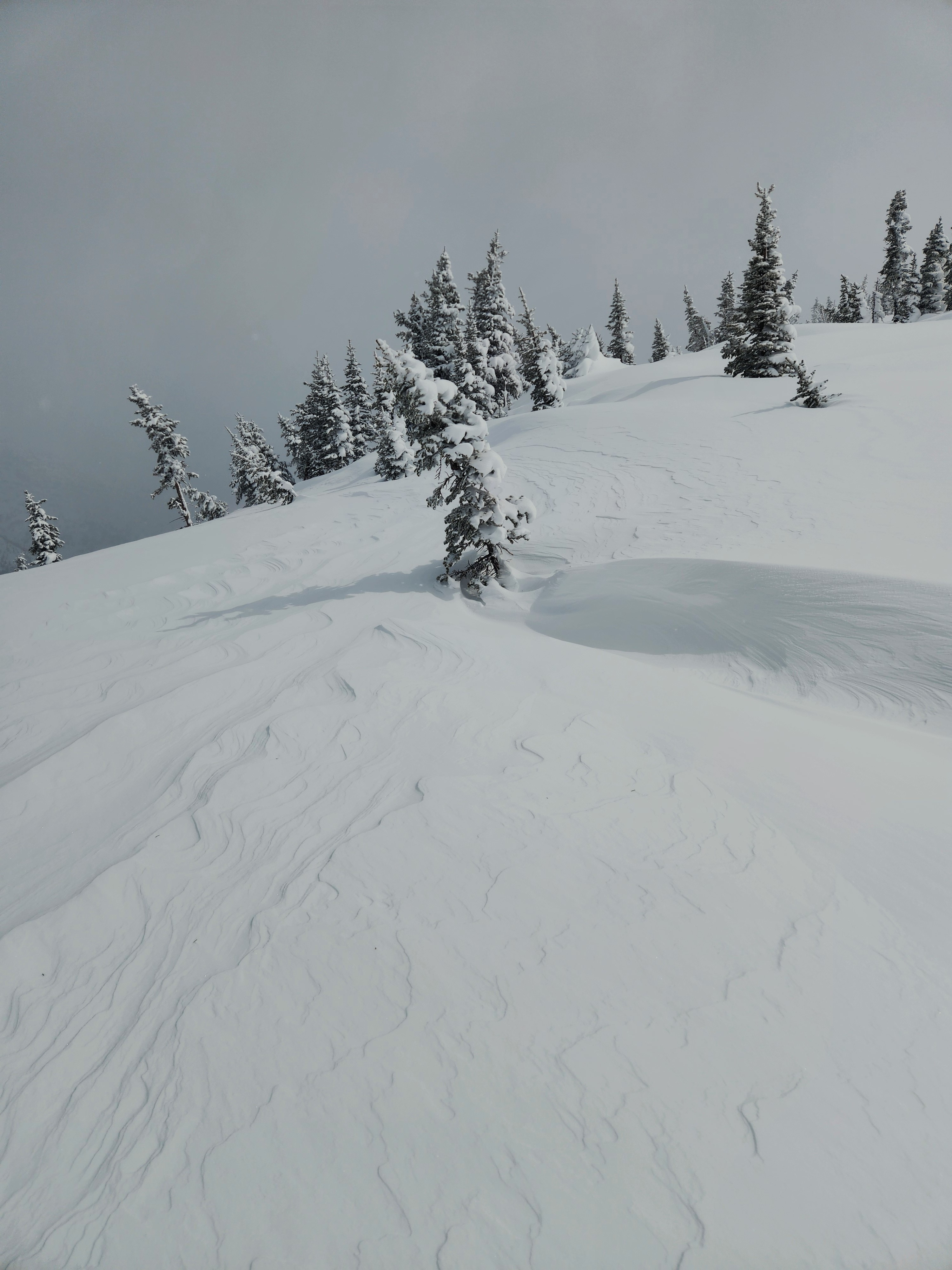
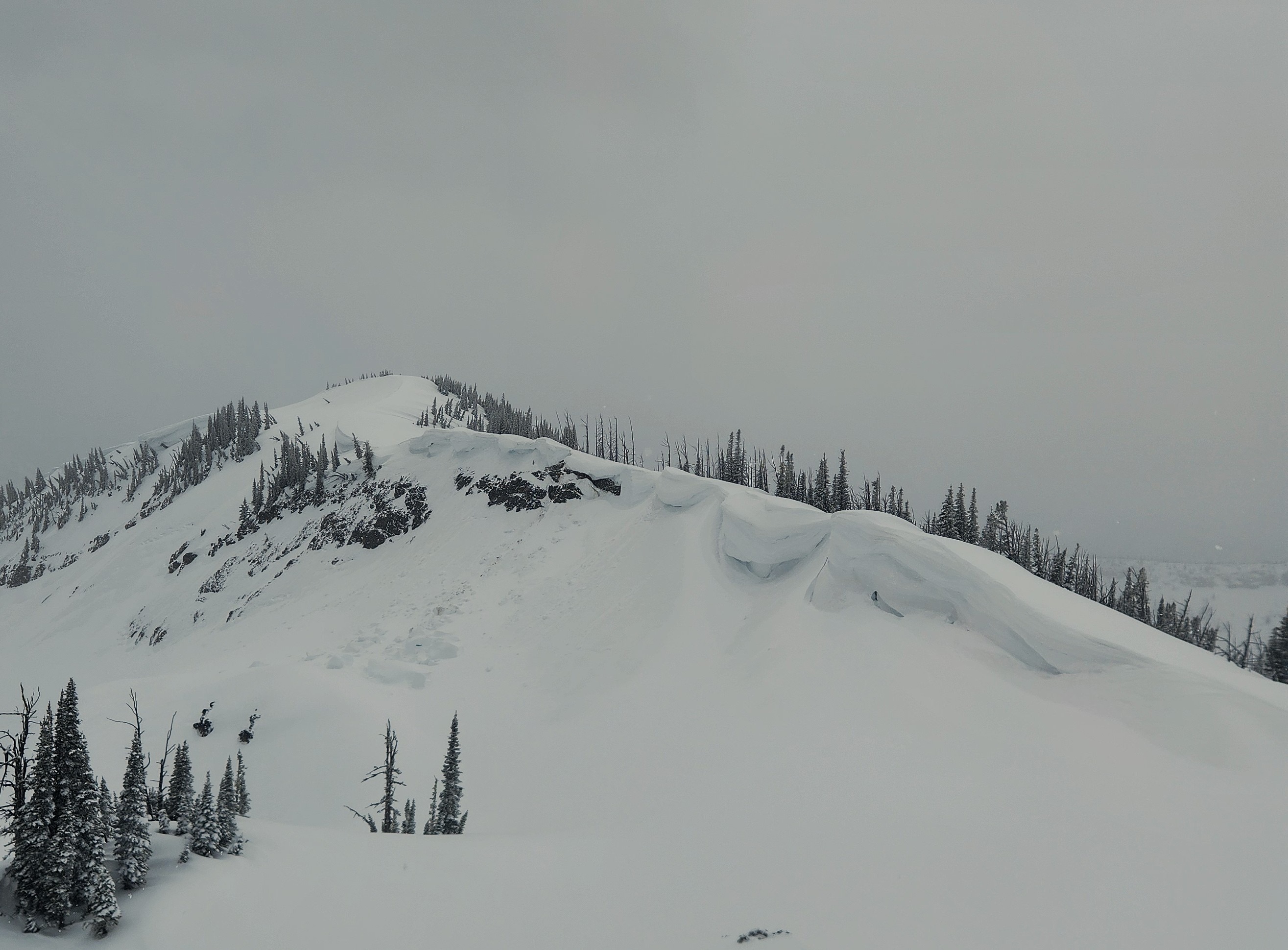
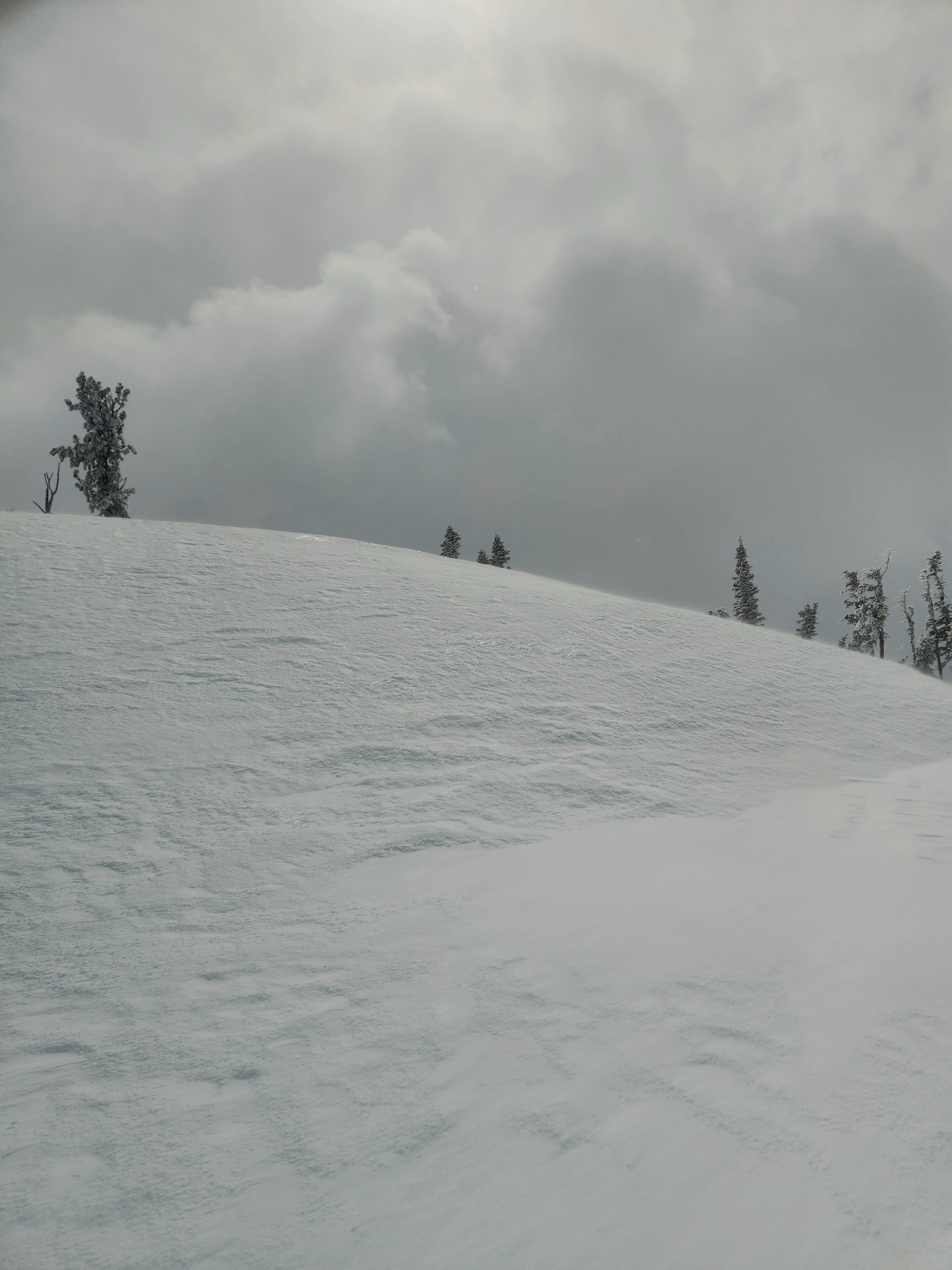
- Gusty northeasterly winds resulted in some light snow transport, with some scoured patches on windward slopes and small, soft drifts near ridgelines. Note: windward in this case = typically sheltered slopes (northerly).
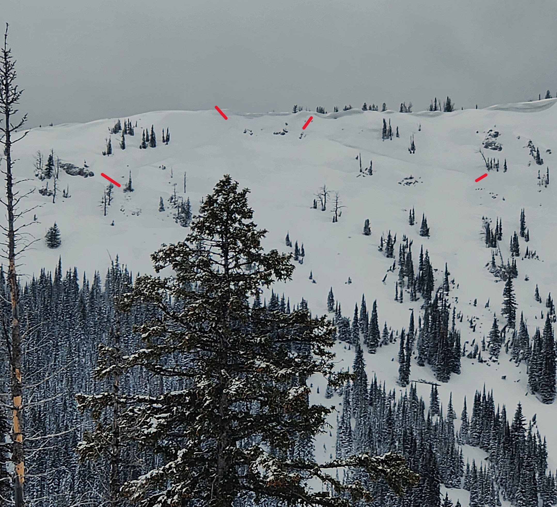
- Few signs of instability - some short cracks while ascending, small rollerballs in moist snow on steep slopes mid afternoon.
- Snow squalls and showers throught the day, with cold temps and broken to overcast skies.
- One set of fresh bear tracks in the new snow in the morning. Fortunately, it was not interested in the same slopes as we were.
Weather
- Air Temp
- 20
- Cloud Cover
- broken
- Wind Loading
- light
- Recent Snowfall
- 30
- Snow Avail For Transport
- small smounts
Variable Spring weather. Frequent snow showers S-1 to S1, with some graupel late afternoon. Calm in the valleys but gusty northeasterly winds at ridgeline that decreased by mid afternoon. Broken to obscured skies.
Snowpack
Below ~6000 feet: Snow cover on steep solar slopes is patchy or non-existent. About one meter of snow on shaded or flat terrain.
~6000-7700 feet:
- 6 to 12 inches storm snow, dry in the AM but moist by mid afternoon, even with cloud cover. Some soft drifts to 50 cm thick that didn't feel or act slabby.
- Storm snow sitting on soft (4F+), 1-3 cm thick melt-freeze crust. Where scoured, the crust was hard but not icy; grippy on skins and generally easy to edge.
- Moist, unfrozen melt forms below. HS 275 (NE, 7000 ft) to 330 cm (N, 7500 ft; HS at this site was 420 cm on 3/15).