
Quick report
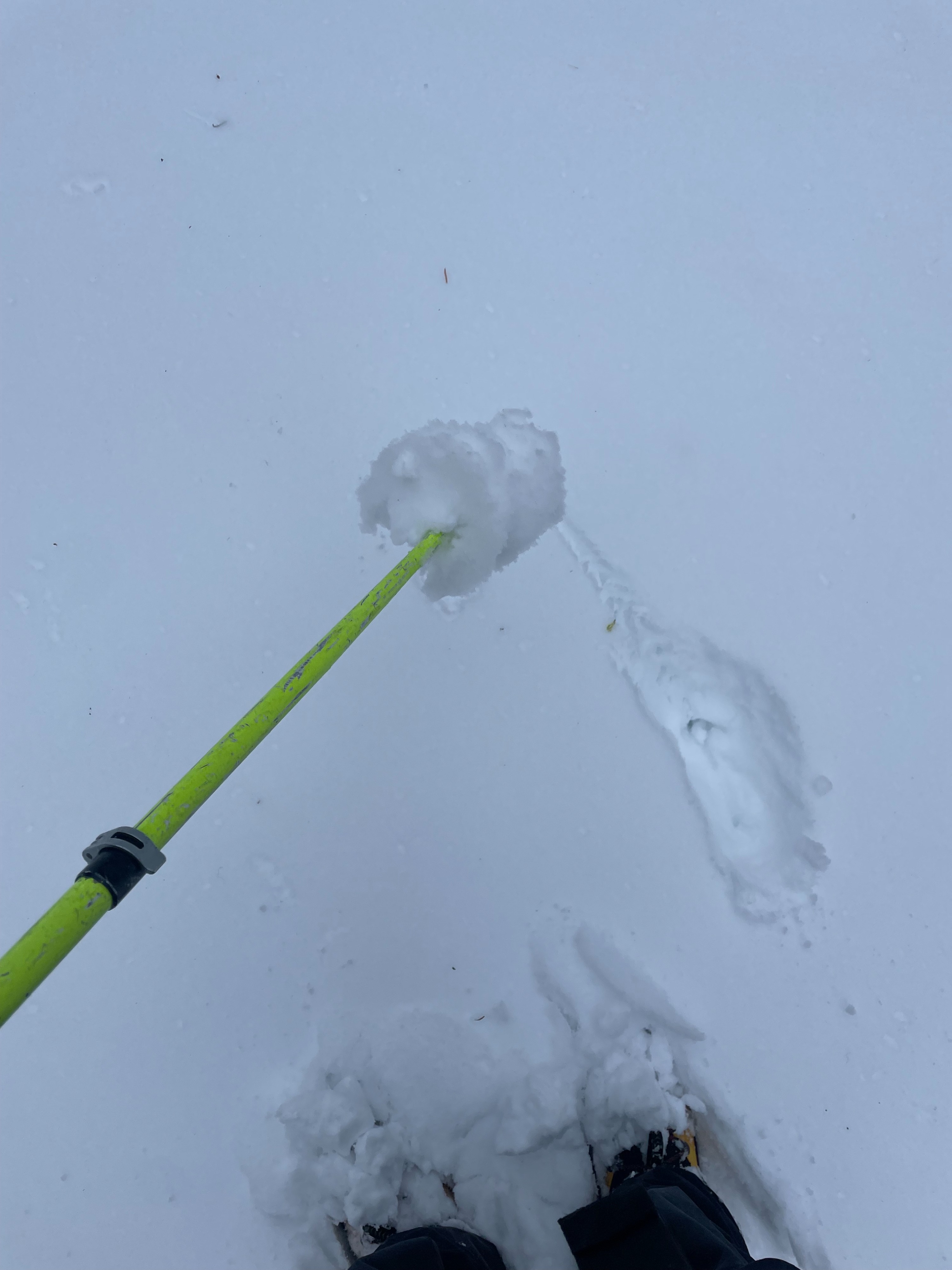
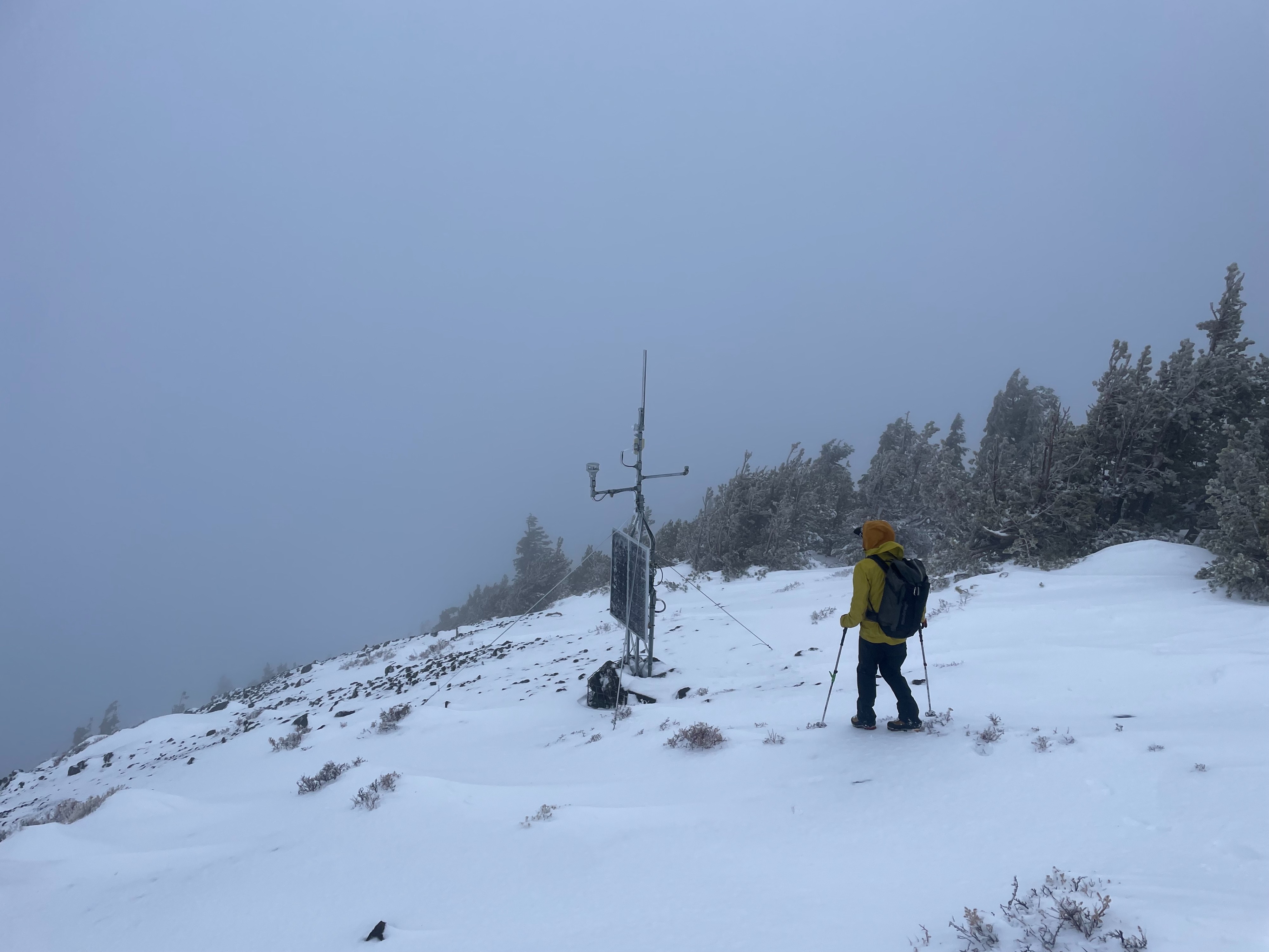
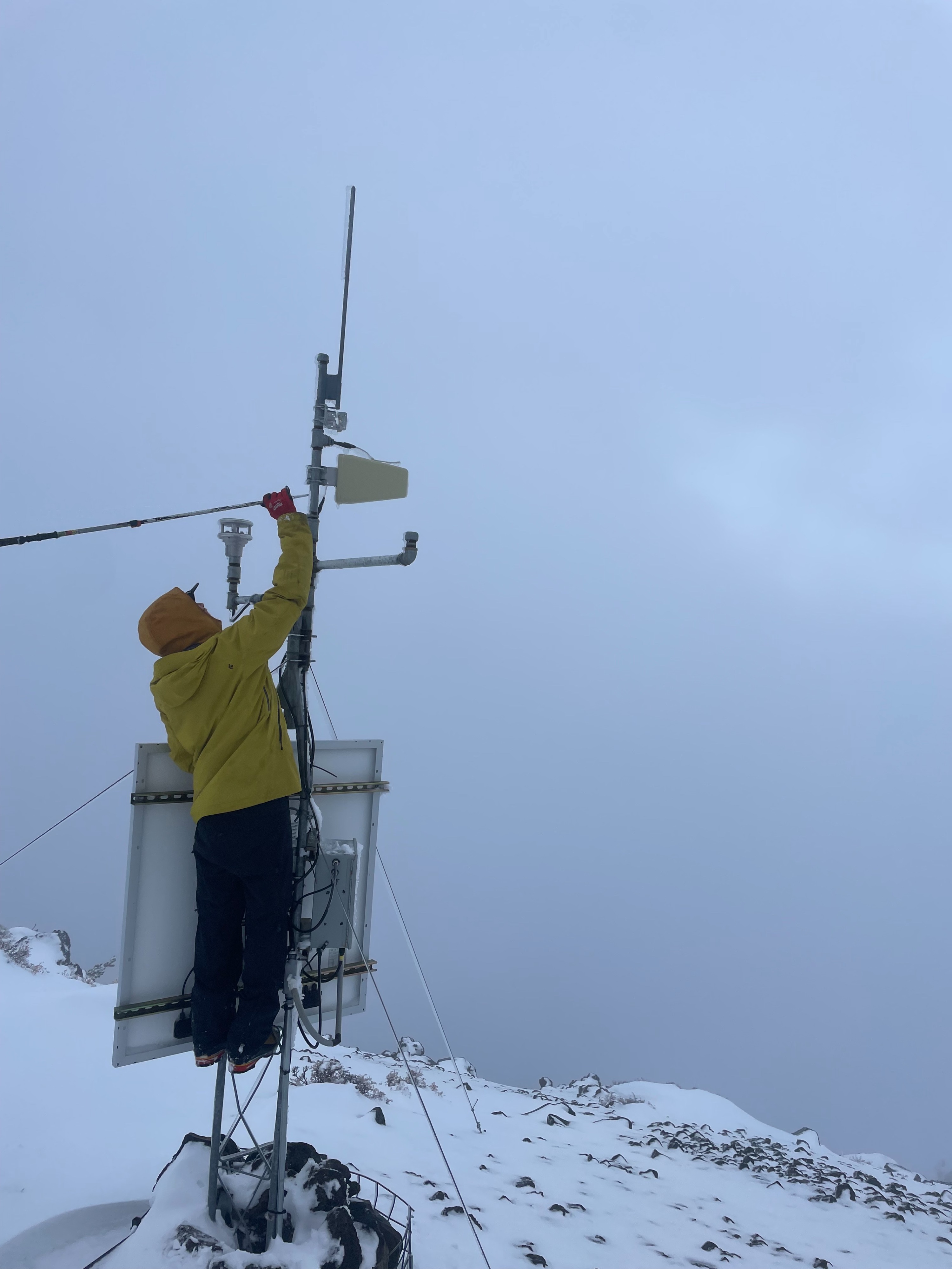
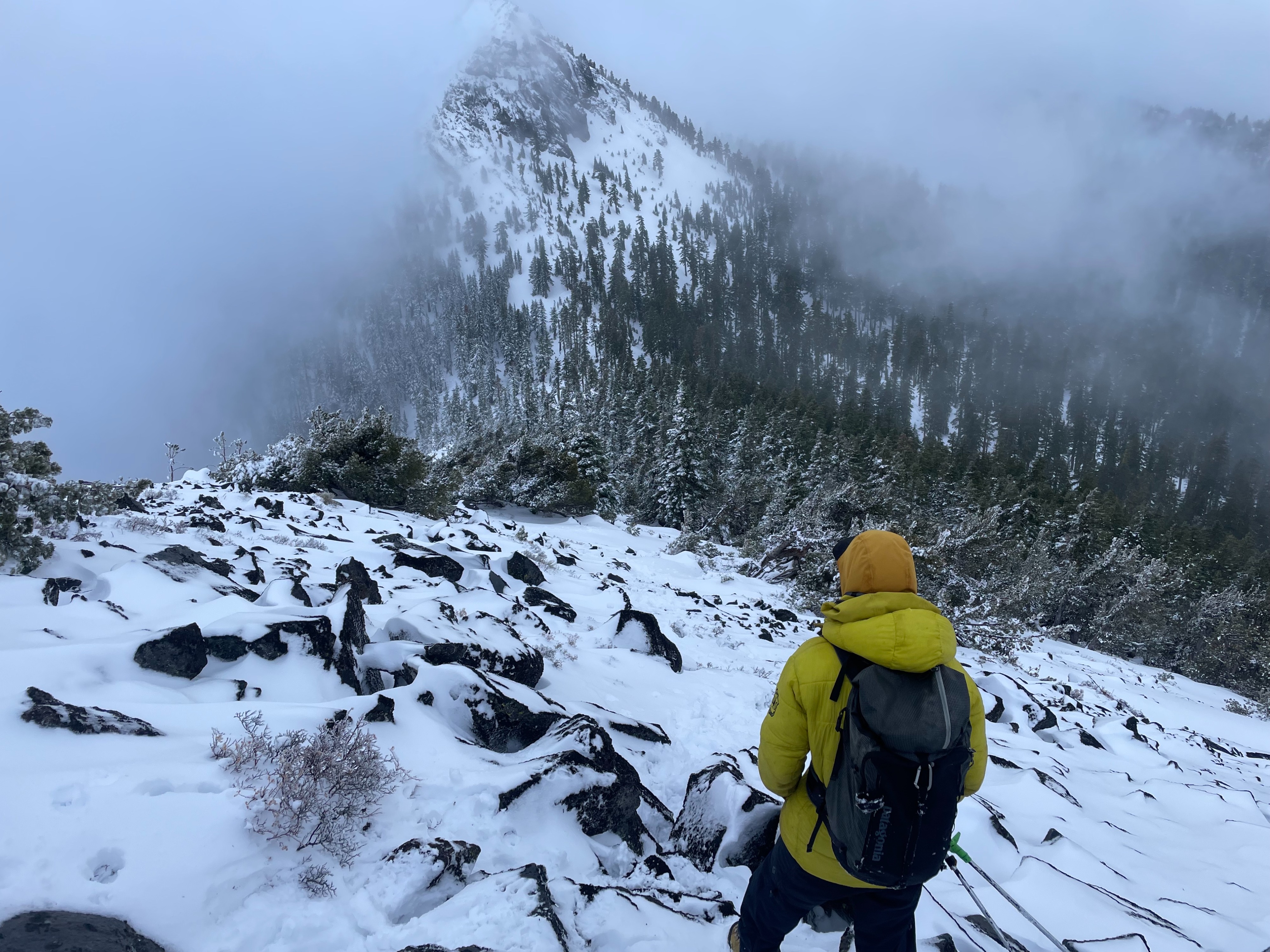
The objective of today was to assess snowpack conditions in the Ash Creek Butte area, along with routine maintenance on an MSAC weather station. Overall, the snowpack remains shallow, with two to three inches of wet snow at the surface. Regarding ski conditions, there is nothing to speak of just yet.
No instabilities were observedWeather
- Air Temp
- 30
- Cloud Cover
- obscured
- Wind Loading
- light
- Rain Elevation
- 6,800
- Recent Snowfall
- 0
- Snow Avail For Transport
- small smounts
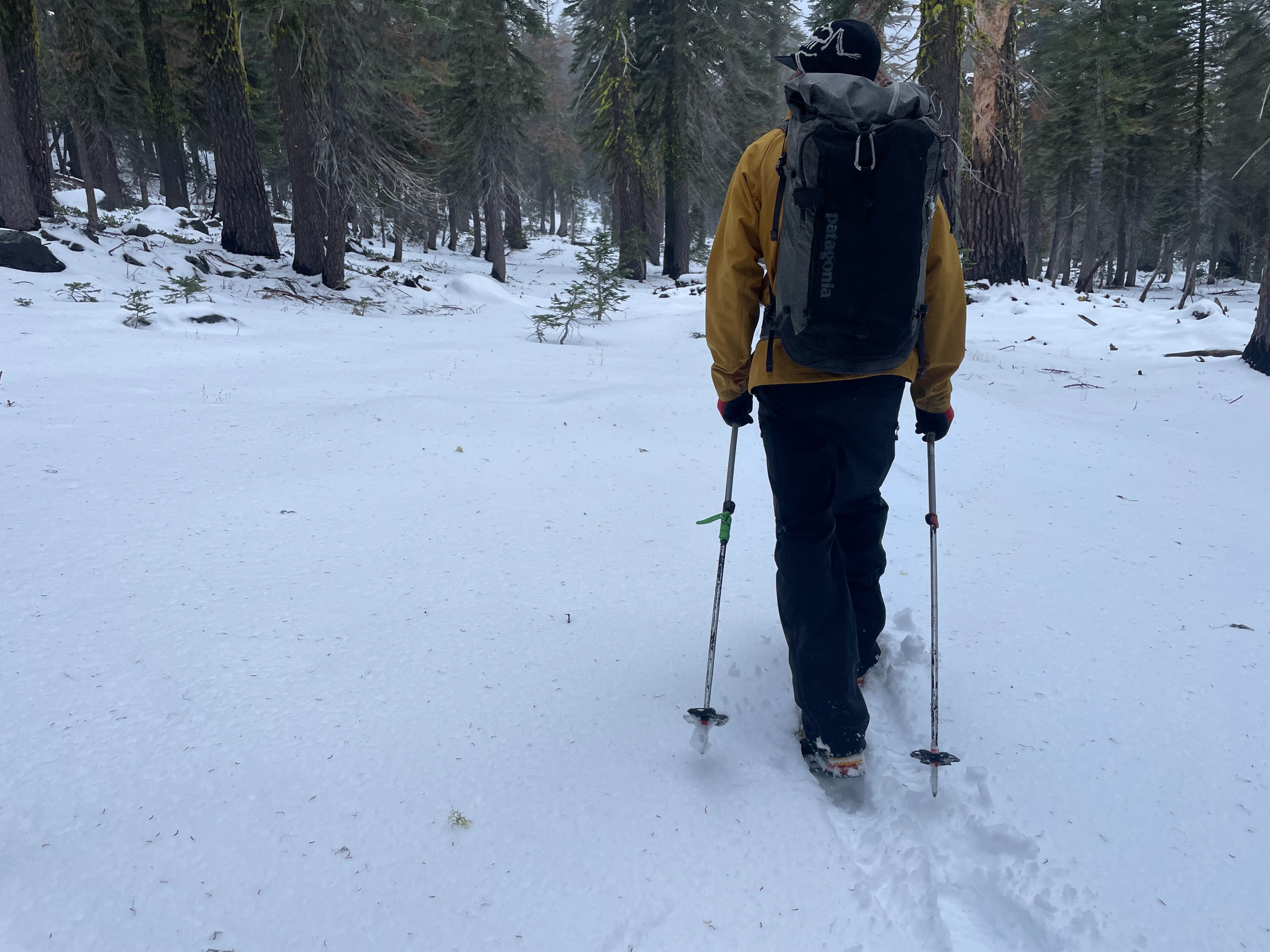
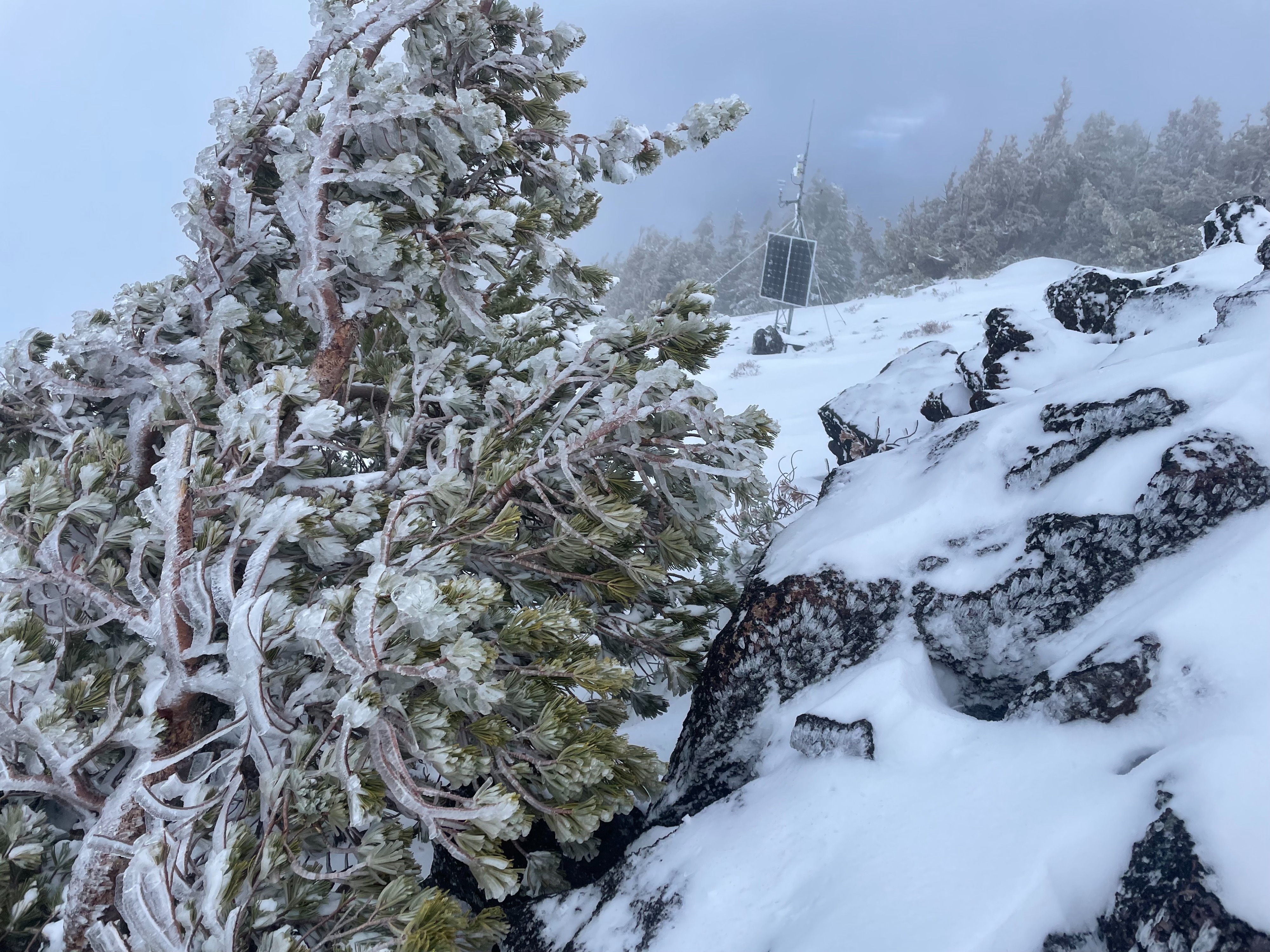
While below treeline, visibility remained poor, winds were light to moderate out of the southeast, and temperatures felt quite warm. Near treeline and above, winds increased to strong, and visibility worsened. Light, and sporadic rain fell throughout the day.
Snowpack
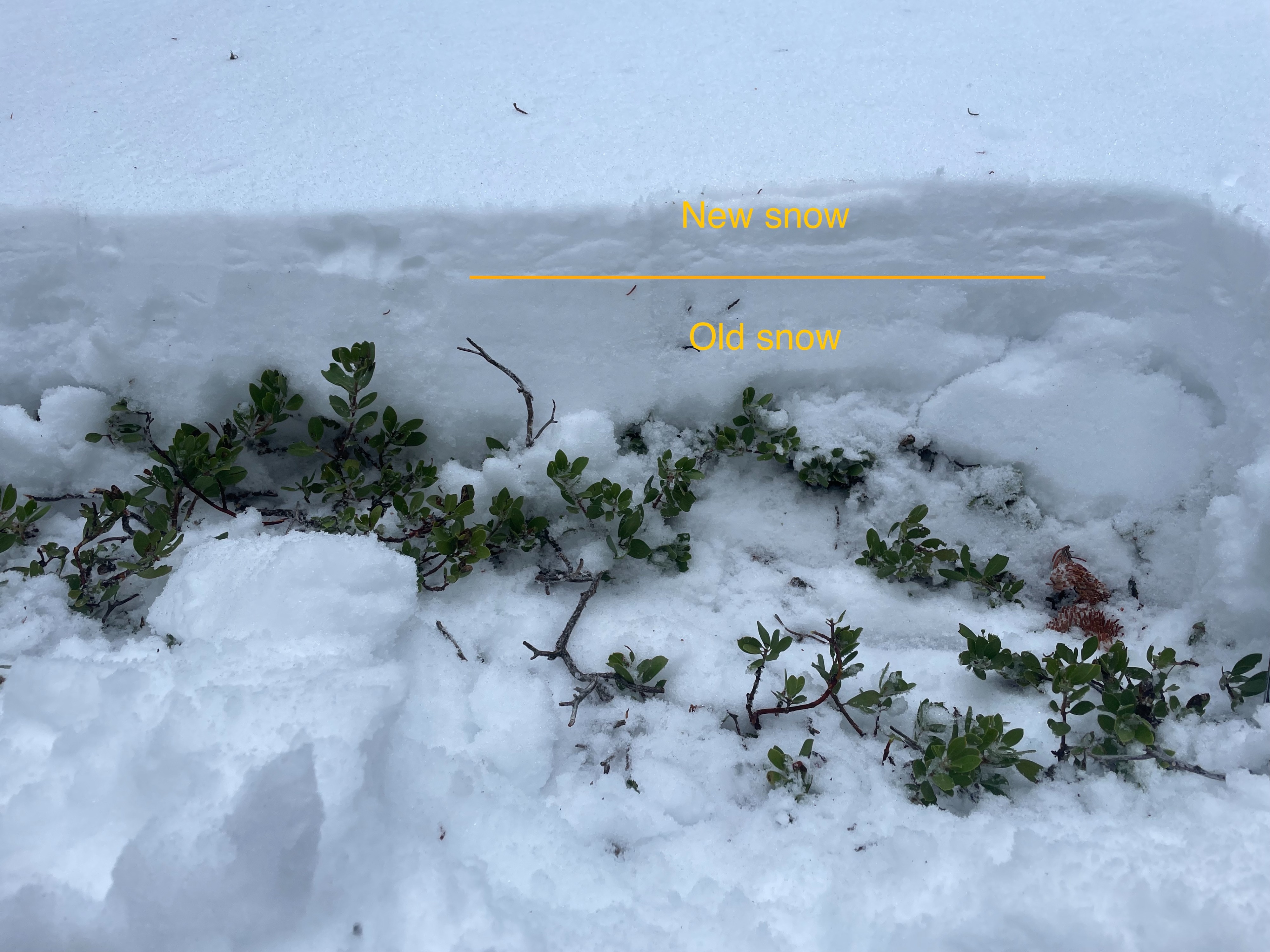
Similar to Mount Shasta, the snowpack around Ash Creek Butte remains quite thin. Most areas hold 10 to 12 inches of snow, with the top few inches being fresh from the last couple of days. This new snow has become very saturated, likely due to some rain and warm temperatures. Isolated pockets hold more snow (closer to 20 inches) due to shading or wind loading. A quick pit dug on a northwest aspect at around 7,300 feet showed the fresh snow sitting on a robust crust, with some weak faceting snow near the ground