
Quick report
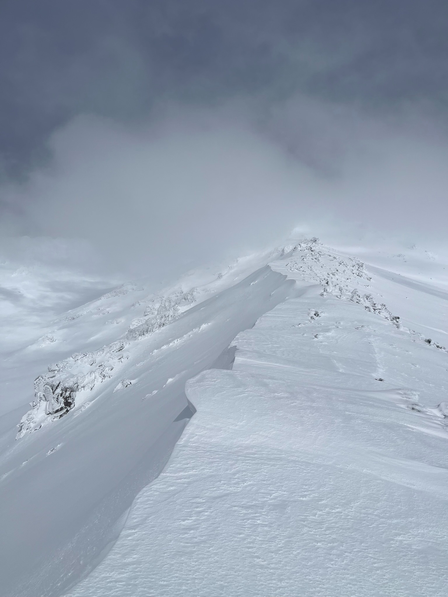
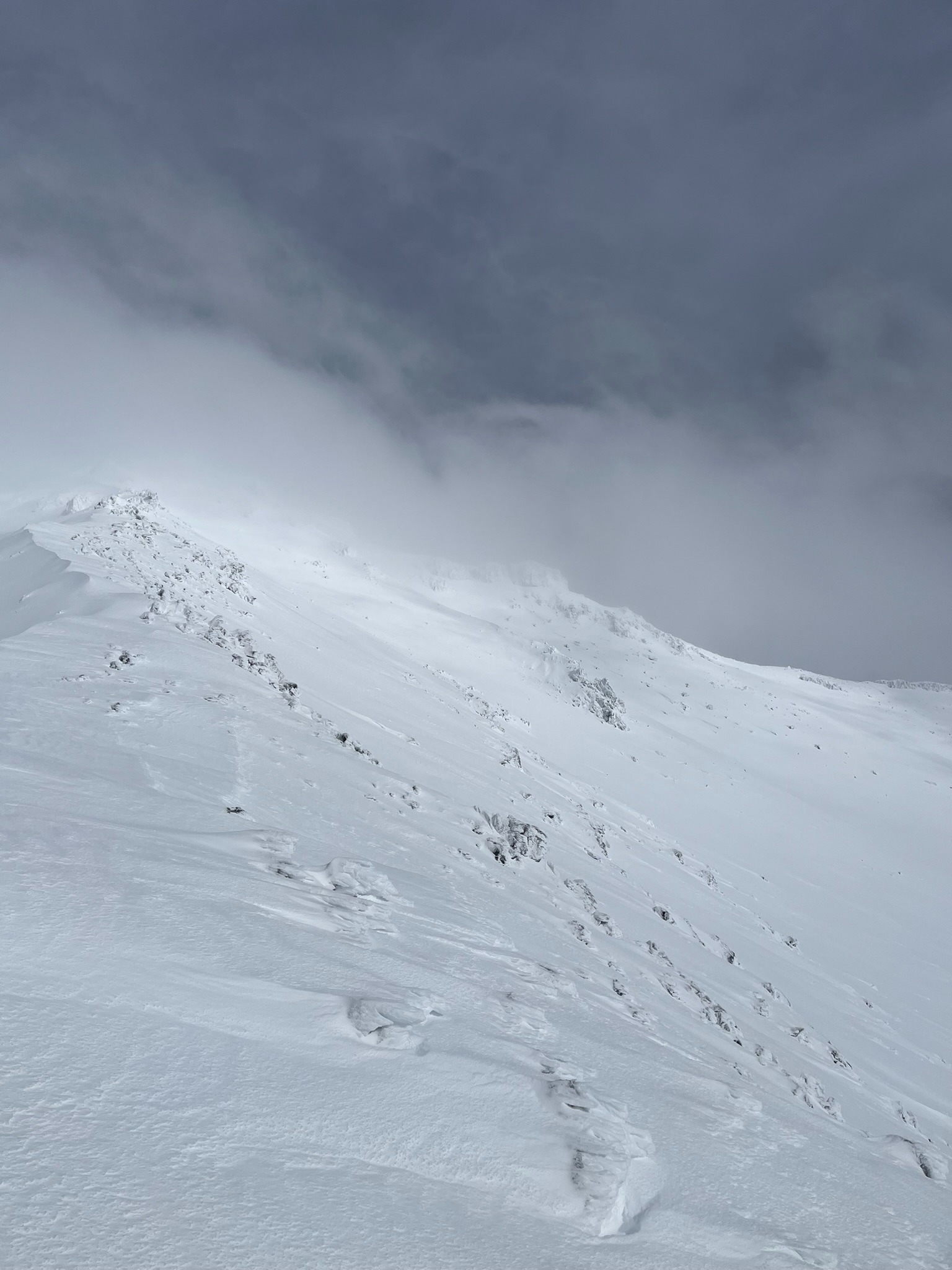
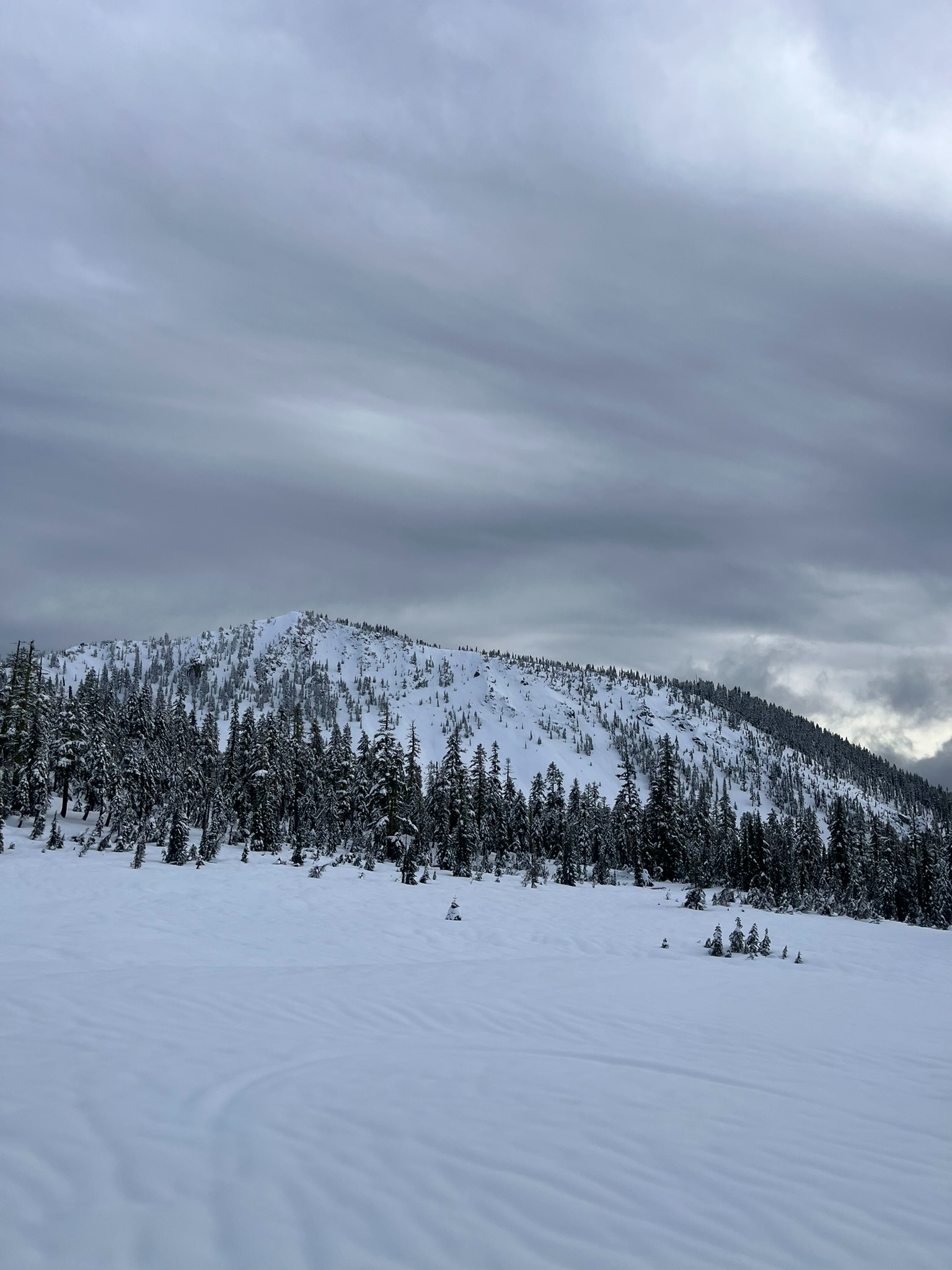
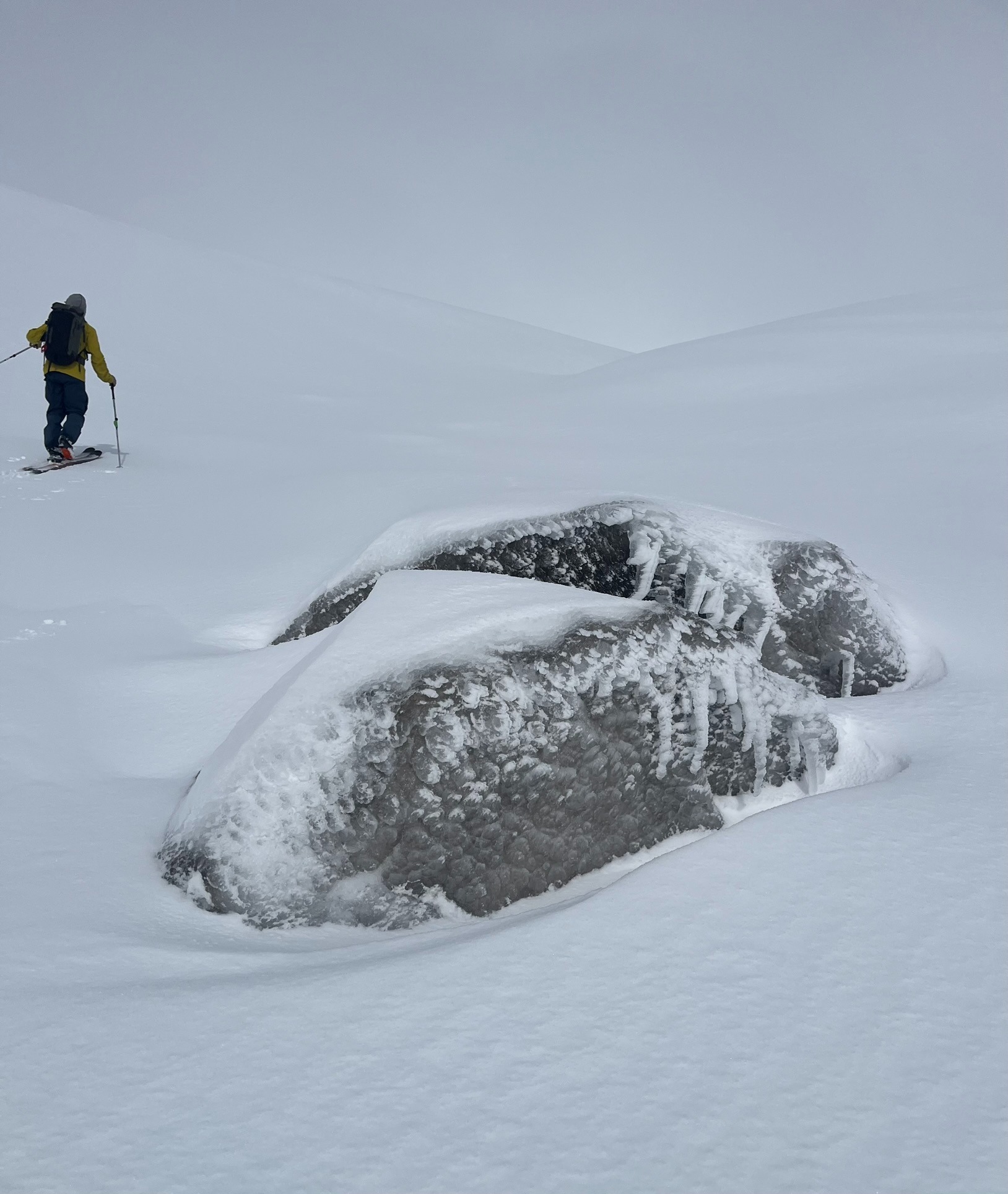
Below 8,500 feet, the snow surface was saturated and cohesive. Above 8,500 feet, the snow becomes less damp with a thin crust up to 9,500 feet. Above treeline, we found up to two feet of new snow from the past 48 hours with rime ice forming on the surface in exposed terrain. The wet snow was setting up well and snow profiles showed an upright snowpack above the treeline. There is a minor amount of snow still available for transport on the highest ridges. We did not observe any recent avalanches and the primary concern remains exposed rock and timber.
Weather
- Air Temp
- 30
- Cloud Cover
- broken
- Wind Loading
- light
- Rain Elevation
- 8,500
- Recent Snowfall
- 60
- Snow Avail For Transport
- small smounts
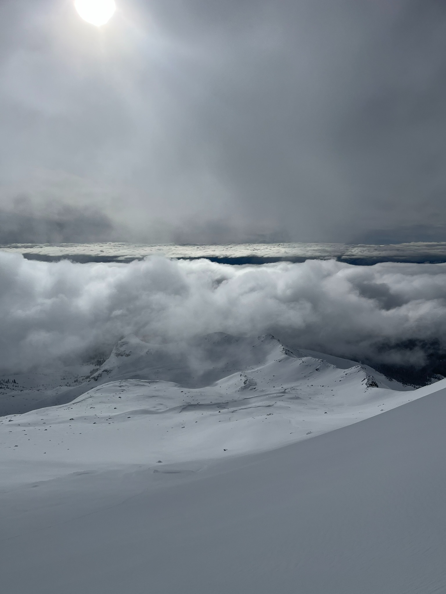
Low clouds in the morning obscured visibility until the afternoon, when the sky progressively became partly sunny. Easterly winds were blowing moderate gusting to strong.
Snowpack
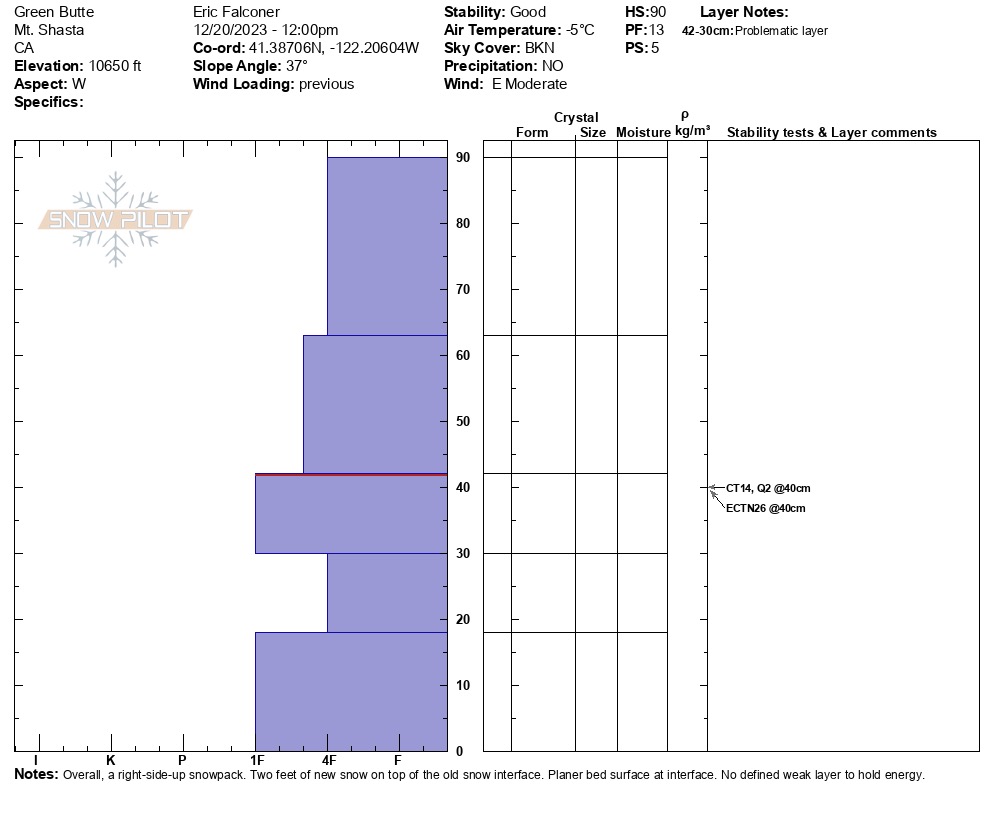
Above 10,000 feet, we observed two feet of new snow resting on the December 18th melt-freeze crust layer. In most locations, the new/old snow interface is bonding well. On a west facing aspect at 10,650 feet on Green Butte Ridge, we observed this layer to have minor reactivity to instability tests with no weak layer present.
Digging down in multiple aspects and elevations revealed that the buried crust layers we had been tracking last week have healed and grown uniform with the snowpack.