
Quick report
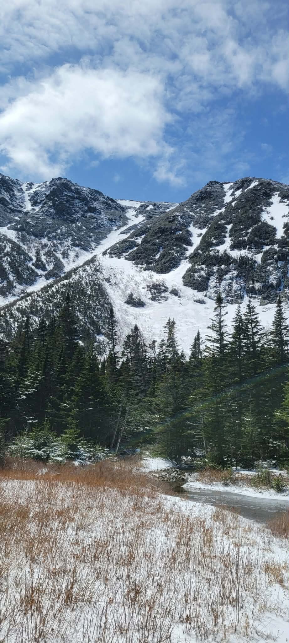
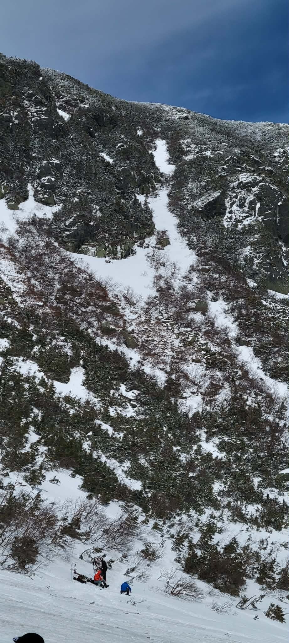
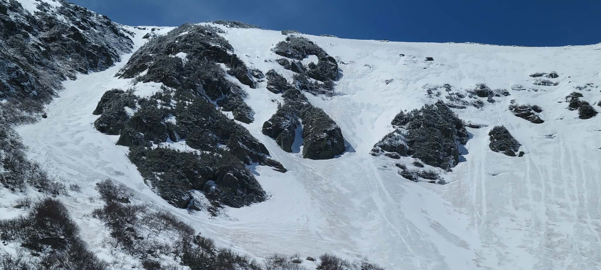
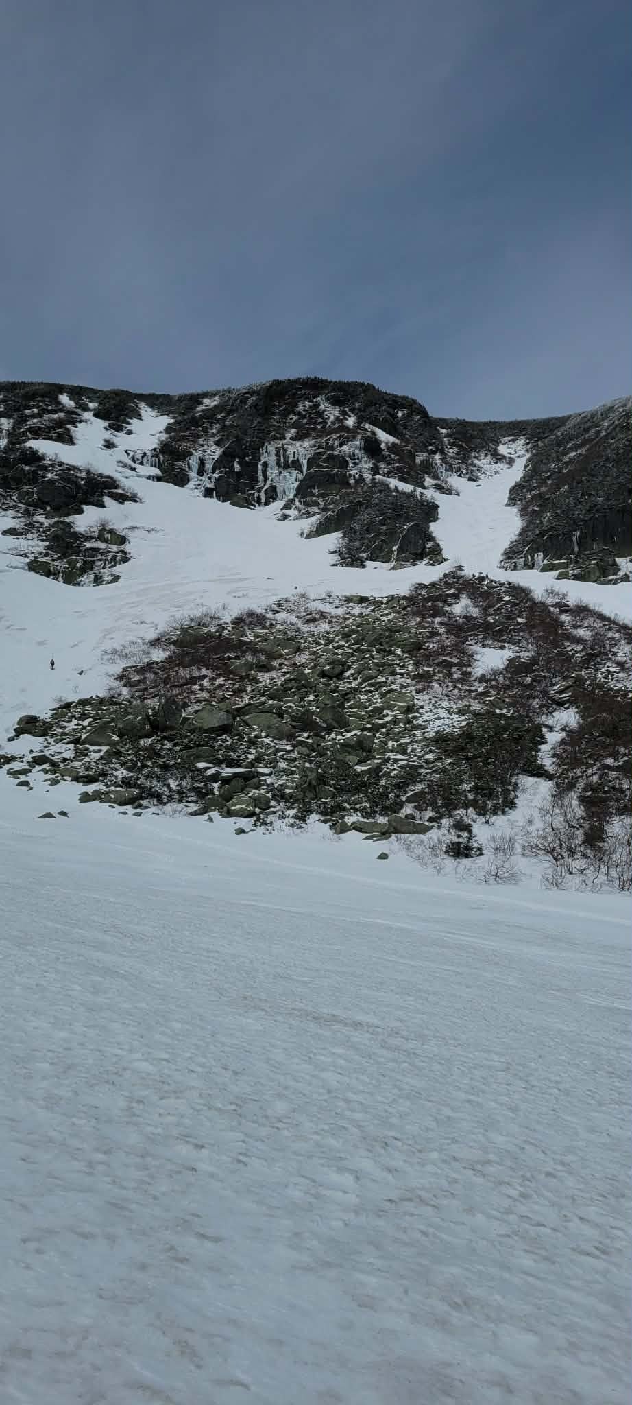
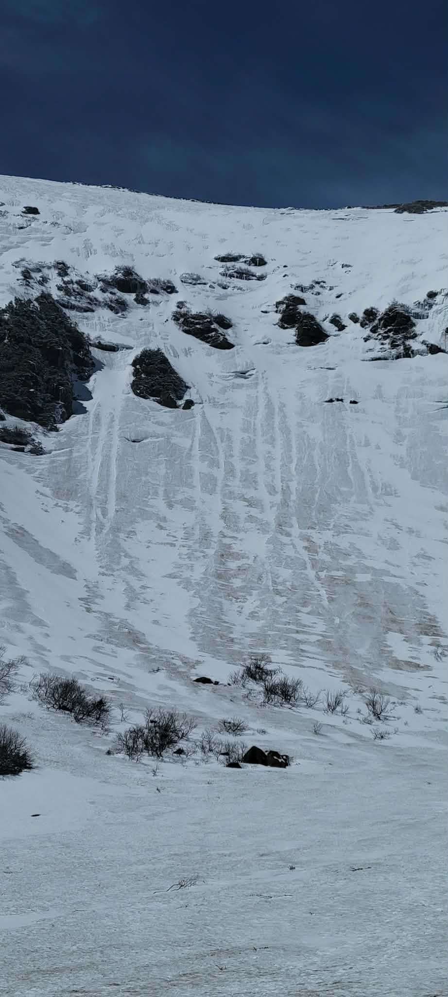
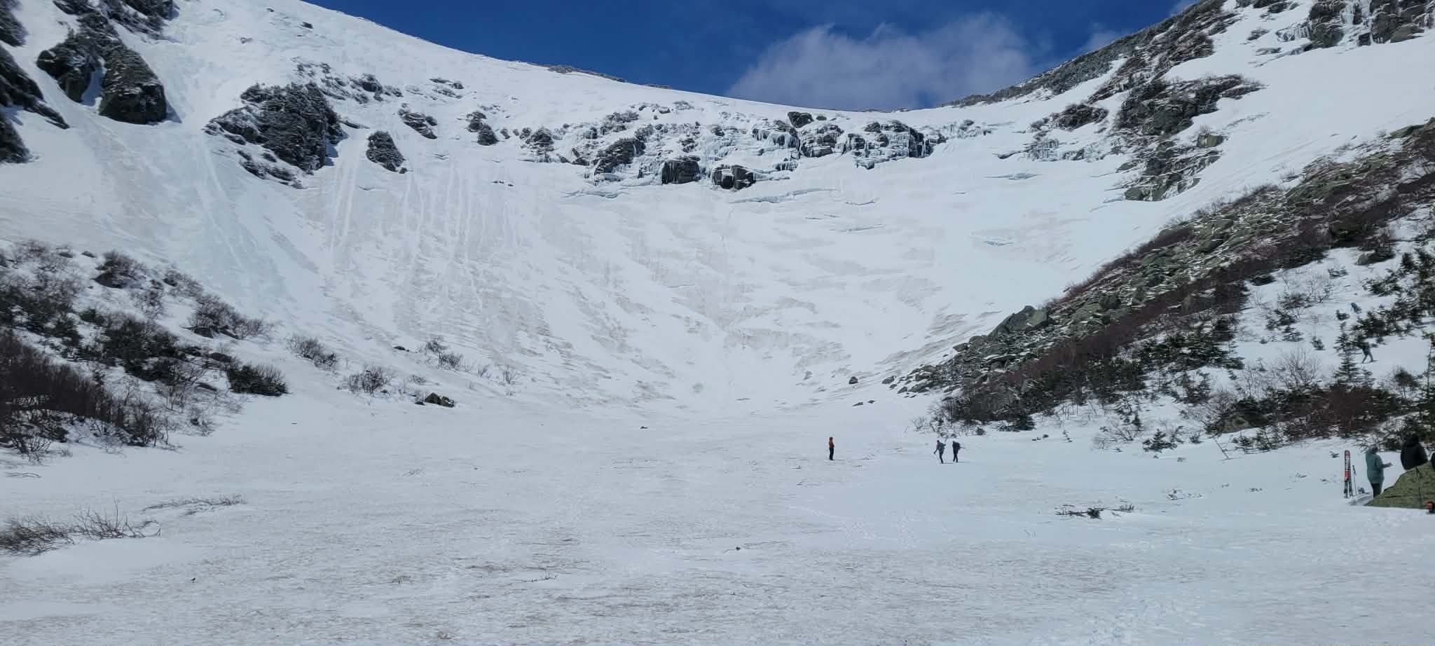
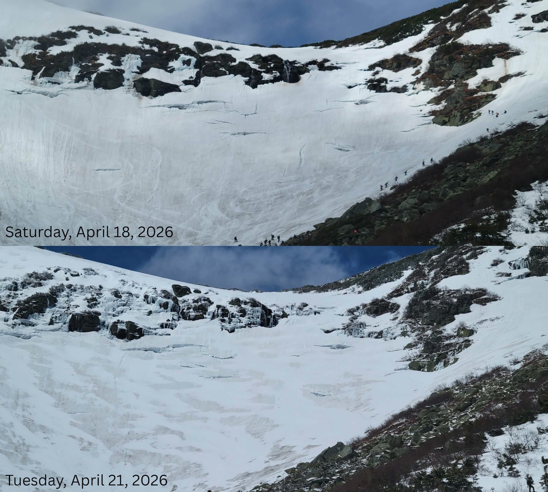
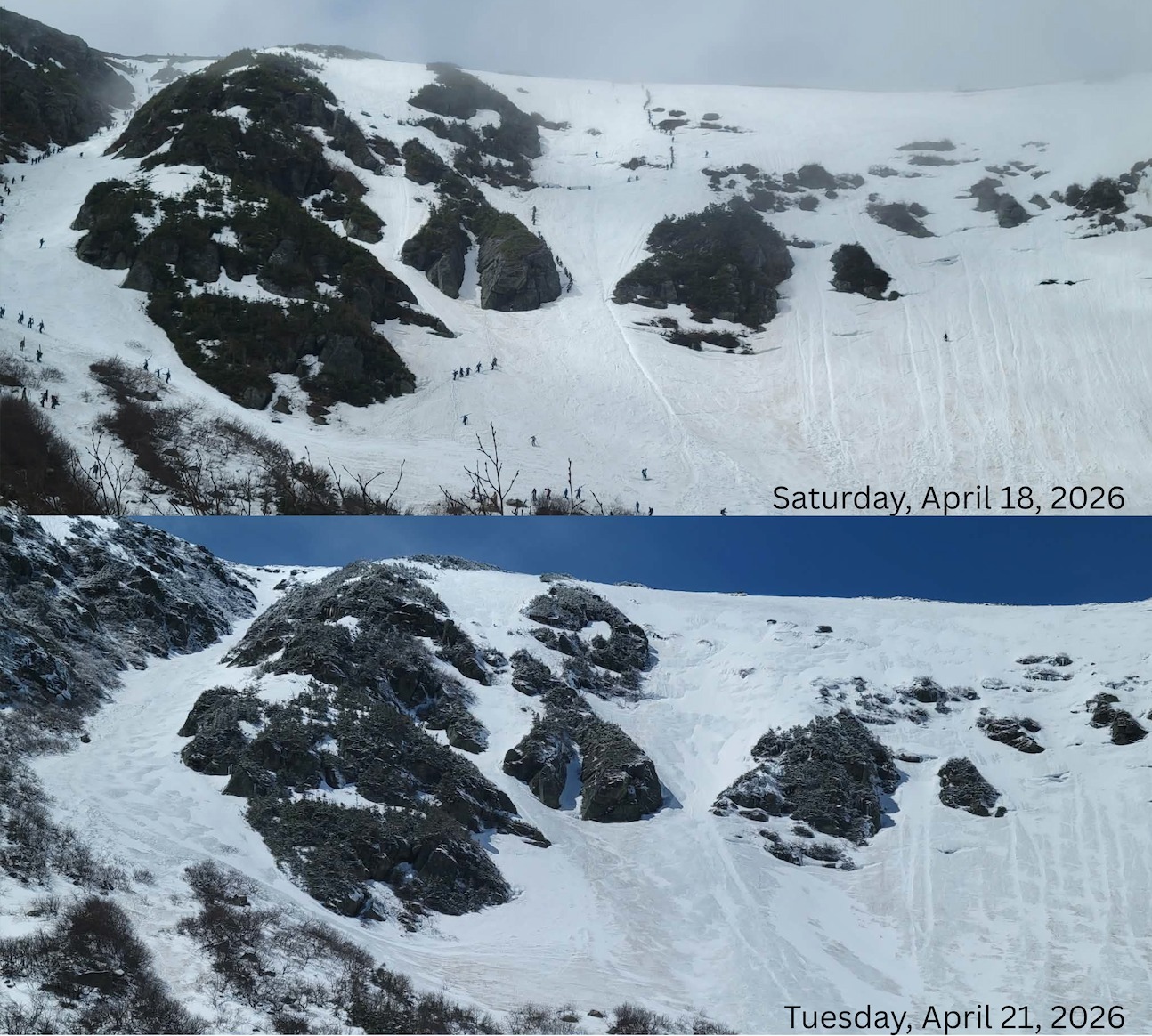
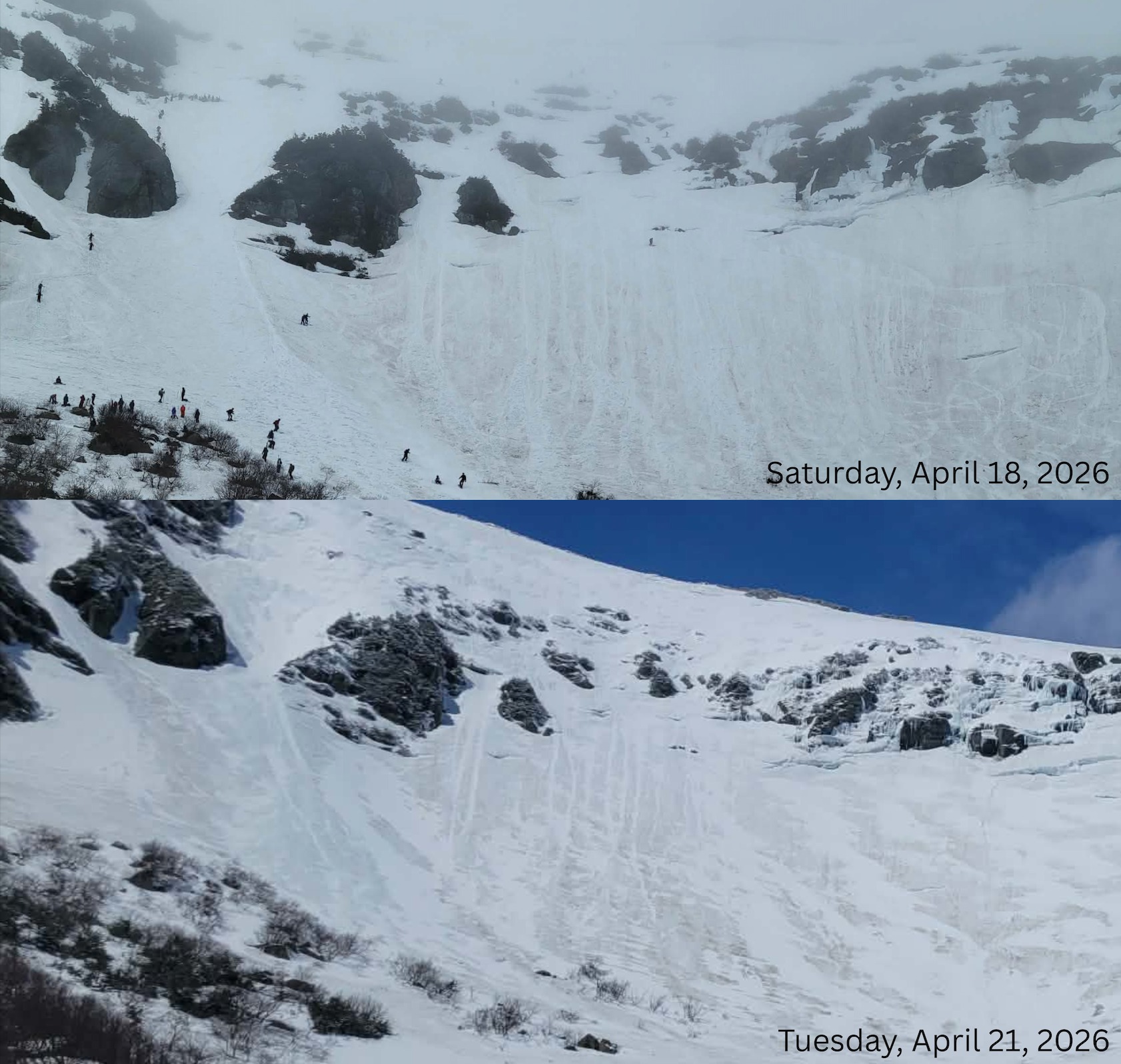
New snow from Sunday and Monday was distributed in patches across Tuckerman Ravine. Isolated pockets of drifted snow were seen in wind protected areas. New snow at 4300ft in Tuckerman Ravine was well bonded to the surface below and cohesionless. The surface of the new snow was becoming slightly sticky from solar input. Areas where the discolored, old snow was present, remained slick and firm. Warmer temperatures, or rain could turn these new pockets of snow into wet loose, or wet slab avalanches.
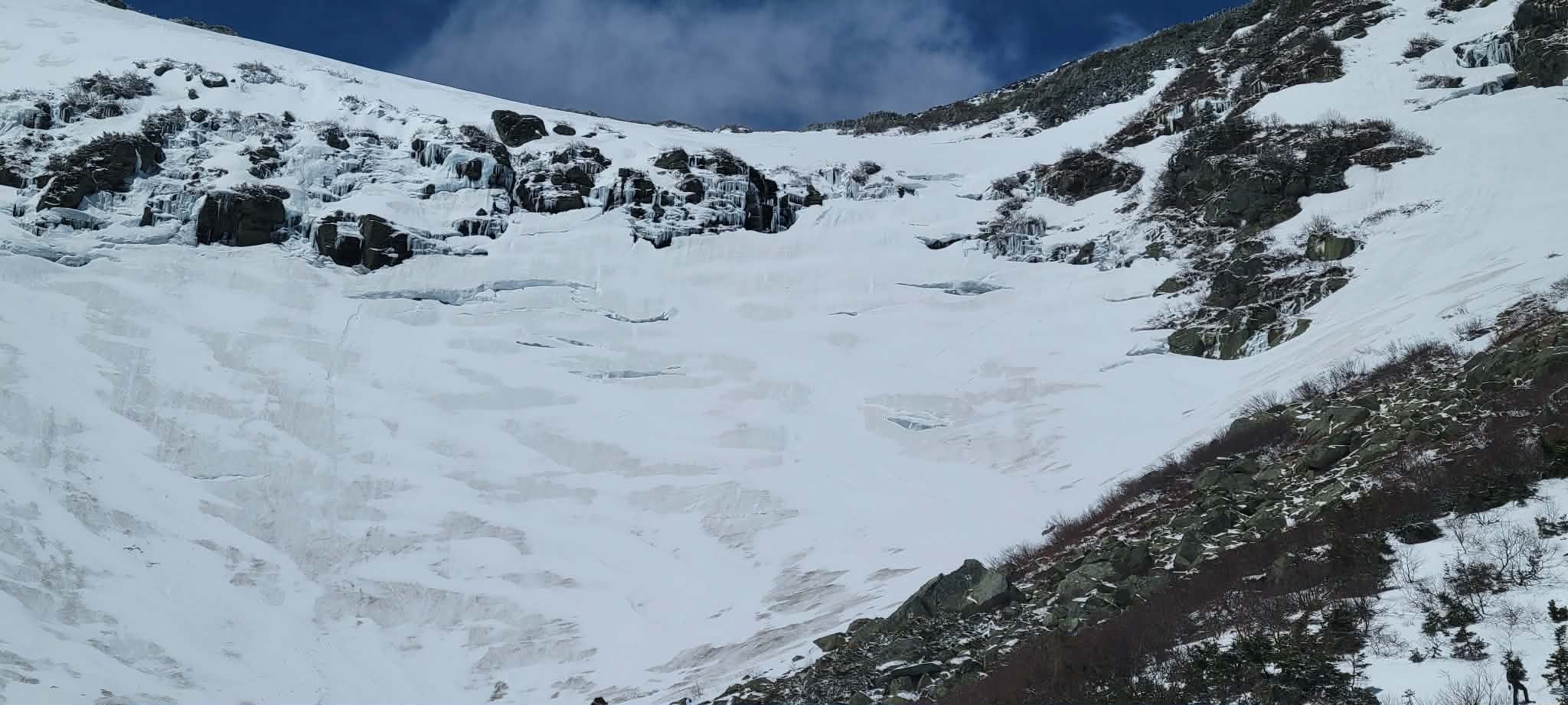
Just in the short time spent in the ravine multiple chunks of ice fall were observed plummeting to the ravine floor from the Headwall and Sluice area. Above freezing temperatures and solar input will increase the likelihood of icefall. Limit your time spent under this hazard to avoid being hit by falling ice - it’s unpredictable.
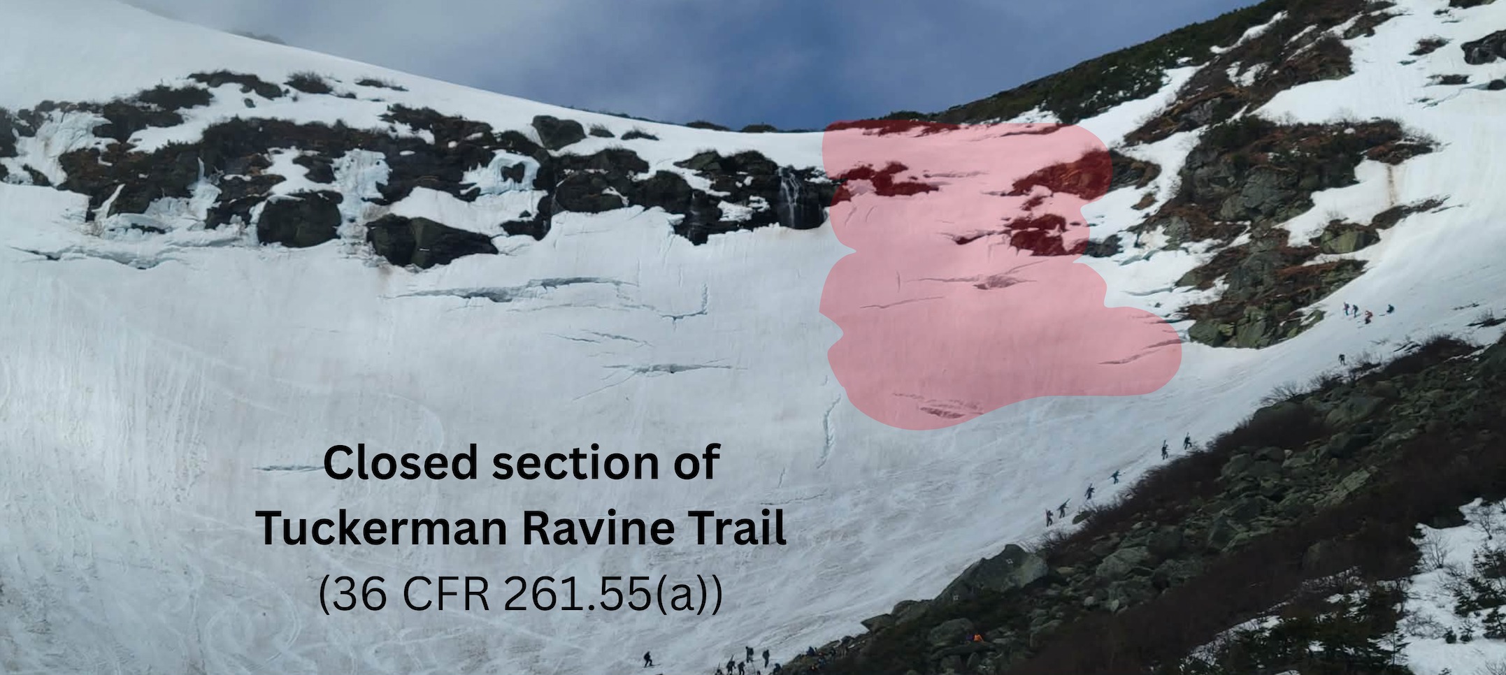
Open holes and glide cracks remain visible and dangerous along with undermined snow. Some cracks have become hidden by the new, soft snow. Continue to make slope specific assessments.
Weather
- Cloud Cover
- clear
- Wind Loading
- none
- Recent Snowfall
- 10 (summit)
- Snow Avail For Transport
- small smounts
Clear, sunny skies were visible throughout the morning with light winds from the northwest. Summit temperatures were recorded at 12 F around noon. Ravine temperatures felt mild.