
Quick report
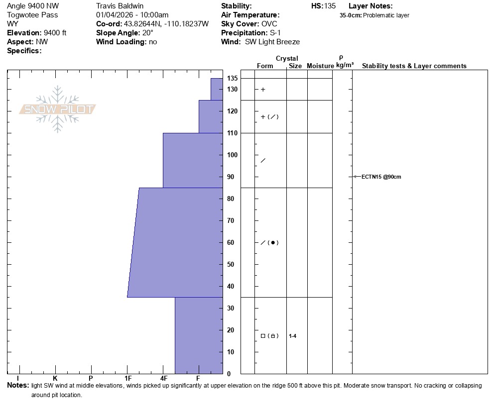
3" of snow on the Angle interval board, 0.3 inches of SWE. Snow height 41 inches (103 cm) at the weather station. Probed 170-190 cm below the ridge at 10k feet on the leeward side.
Nothing notable on Togwotee today. Snowmobile tracks are everywhere on the pass (think triggers) and a lack of any avalanche activity, including many of the very steep slopes visible along the road along Blackrock Creek.
A weak structure remains present on Togwotee with weak layers buried at the base. A recent lack of significant loading has given the snowpack time to adjust. I still have concerns about very steep northerly slopes, particularly if you find a thin spot where you can impact and collapse buried weak layers. The incoming storm does not look like it will bring a lot of snow to Togwotee, but pay attention to snow totals over the next couple of days as well as wind loading. Winds look to increase somewhat tomorrow. Remember that small avalanches that start in steep, wind-loaded terrain can step down into deeper layers.
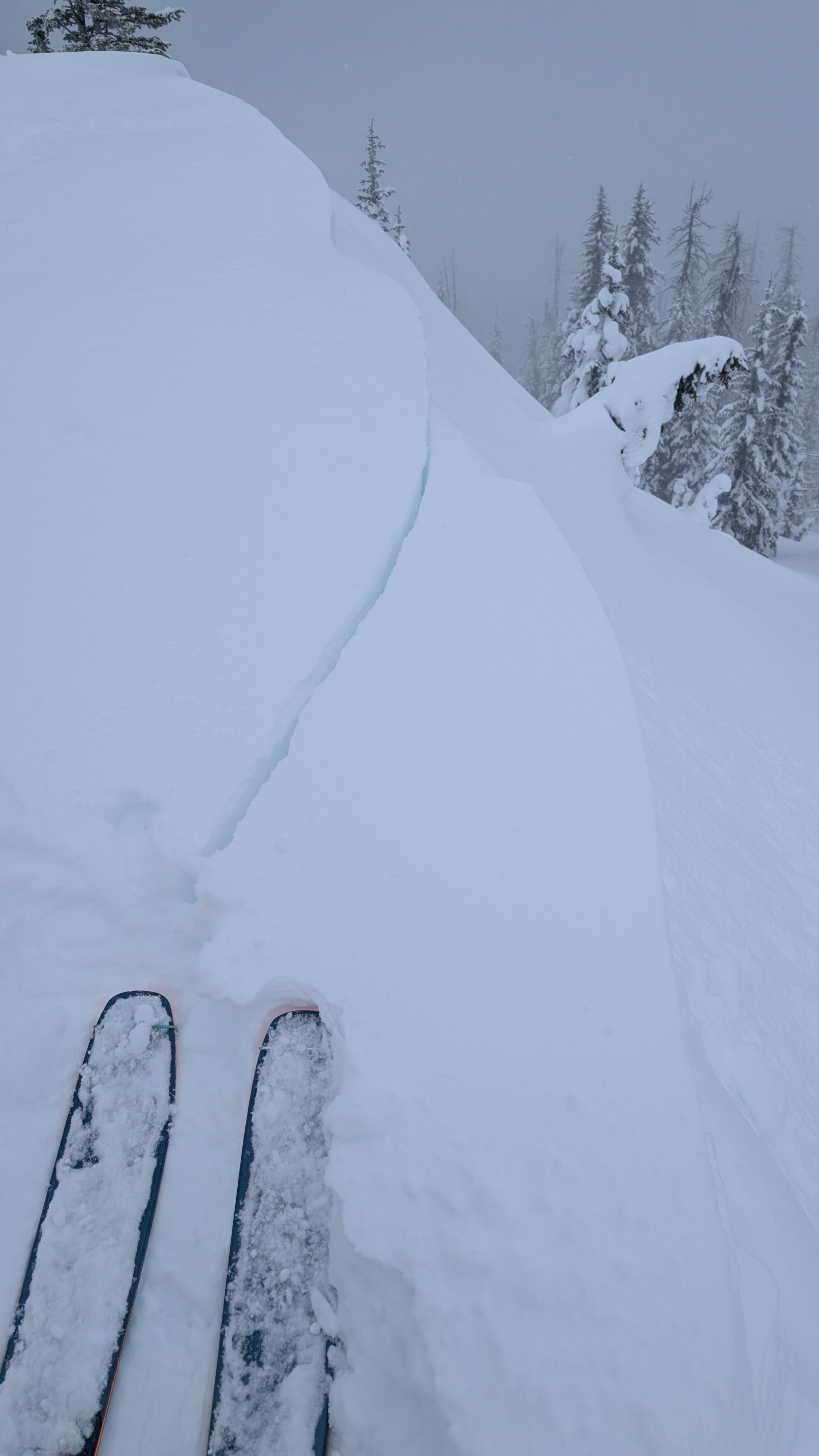
Shallow, soft, and stubborn wind slabs forming on the exposed ridgeline at 10,000 feet. No collapsing during our tour.Weather
- Air Temp
- 32 at parking
- Cloud Cover
- overcast
- Wind Loading
- light
- Recent Snowfall
- 10-15cm
- Snow Avail For Transport
- moderate amounts
Mostly cloudy this morning, increasing clouds throughout the morning, light snow (S-1) by mid-morning, increasing into the afternoon. Light SW winds with moderate gusts on the ridge. Notable wind transport but only along very exposed ridge at 10k feet.