

Quick report
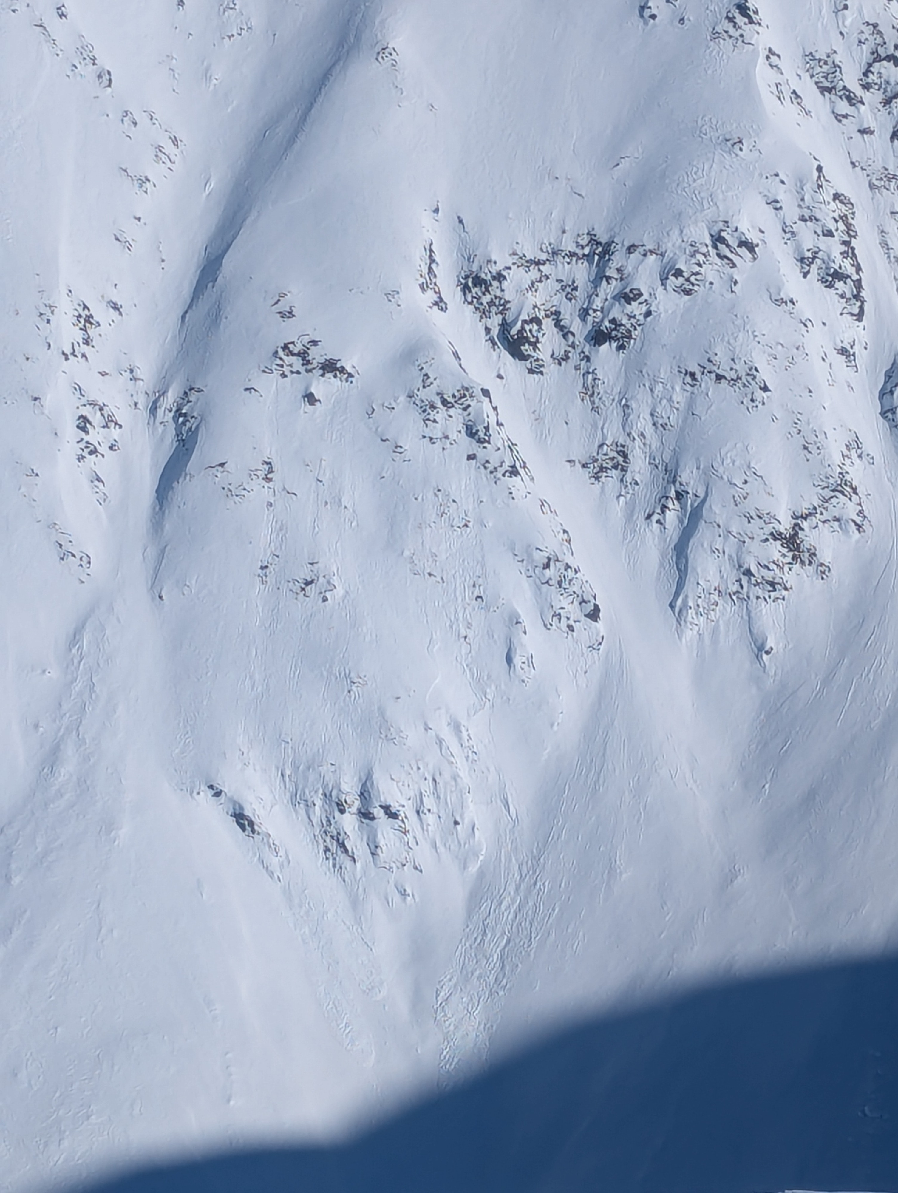
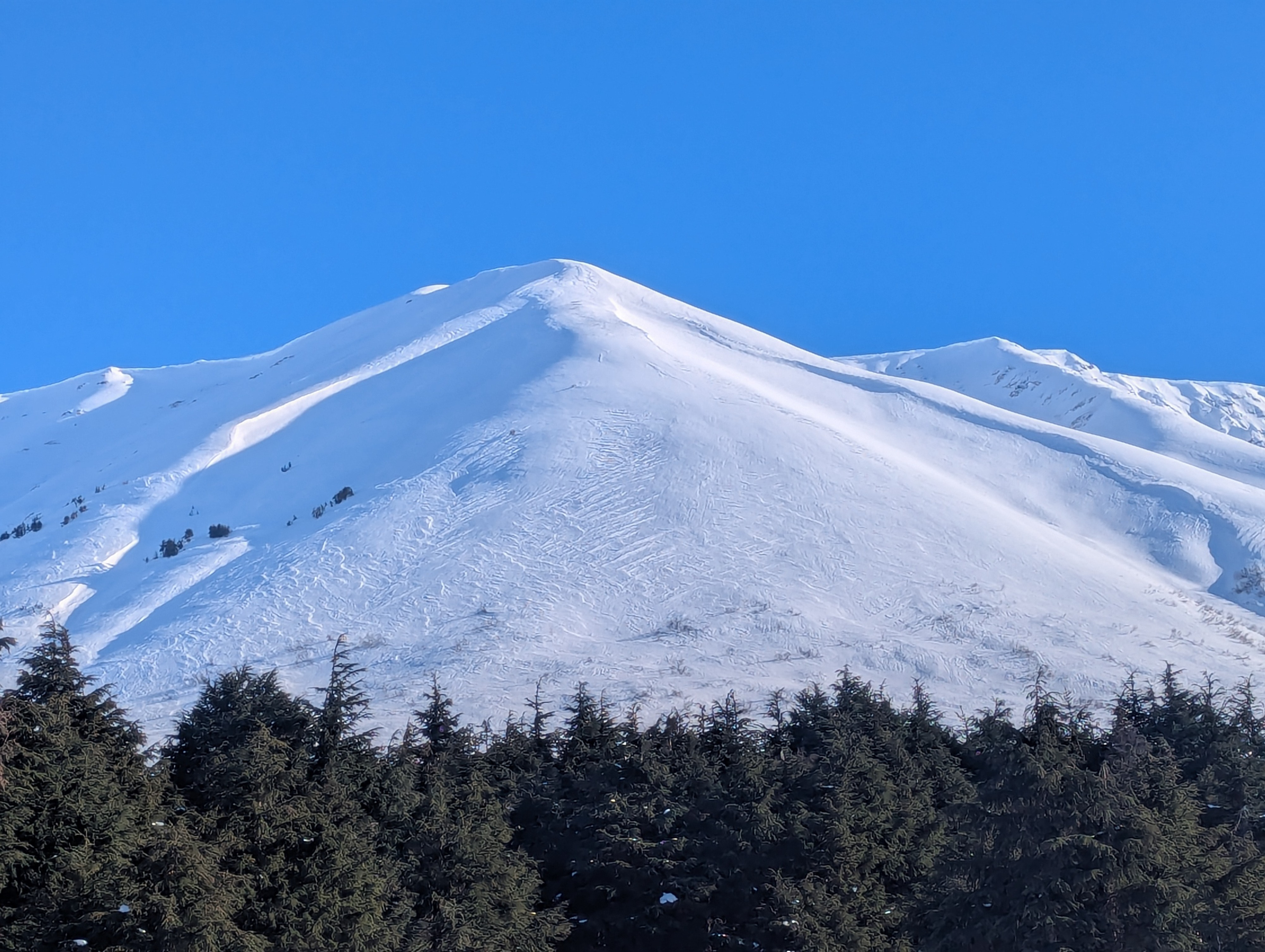
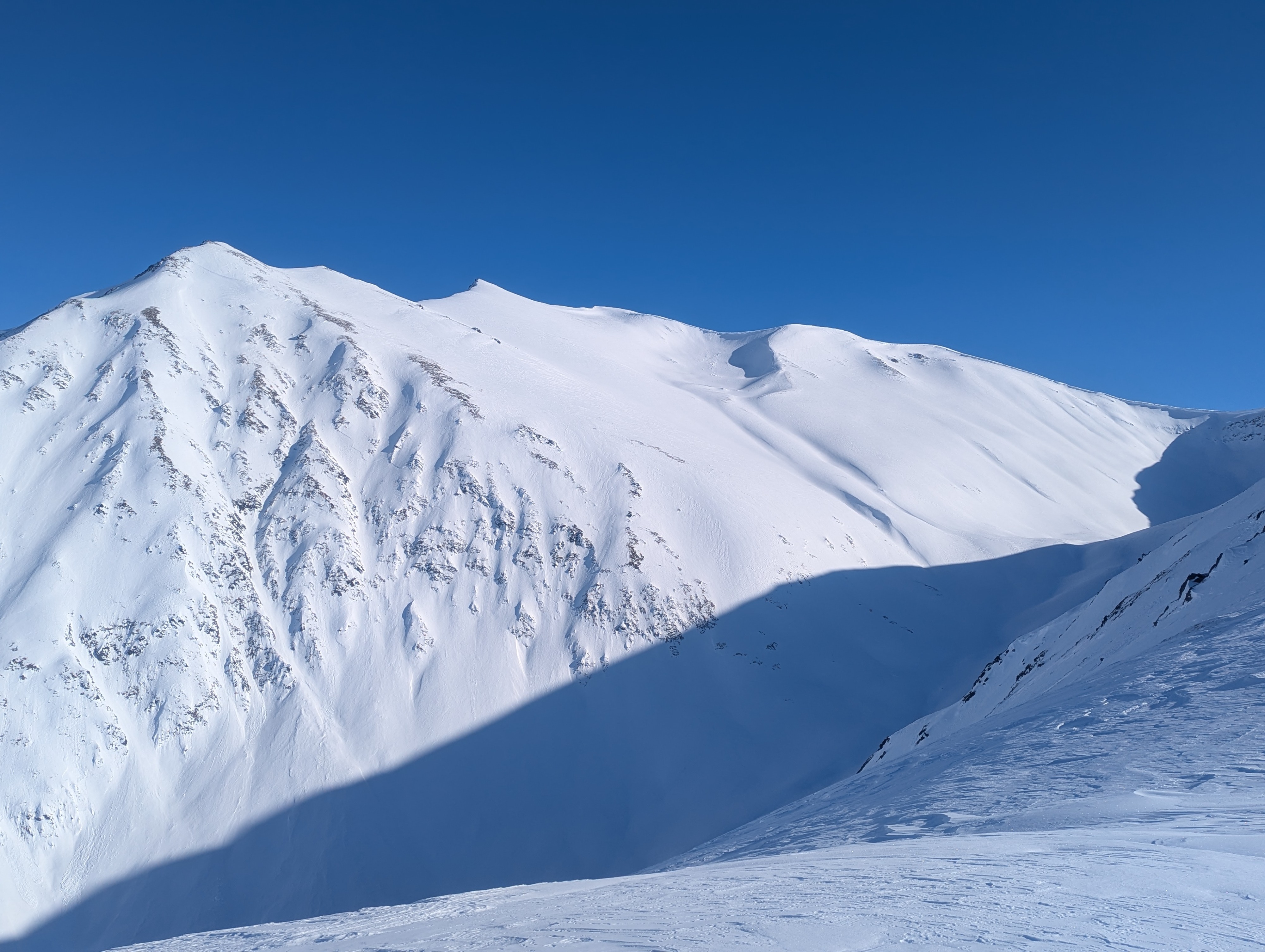
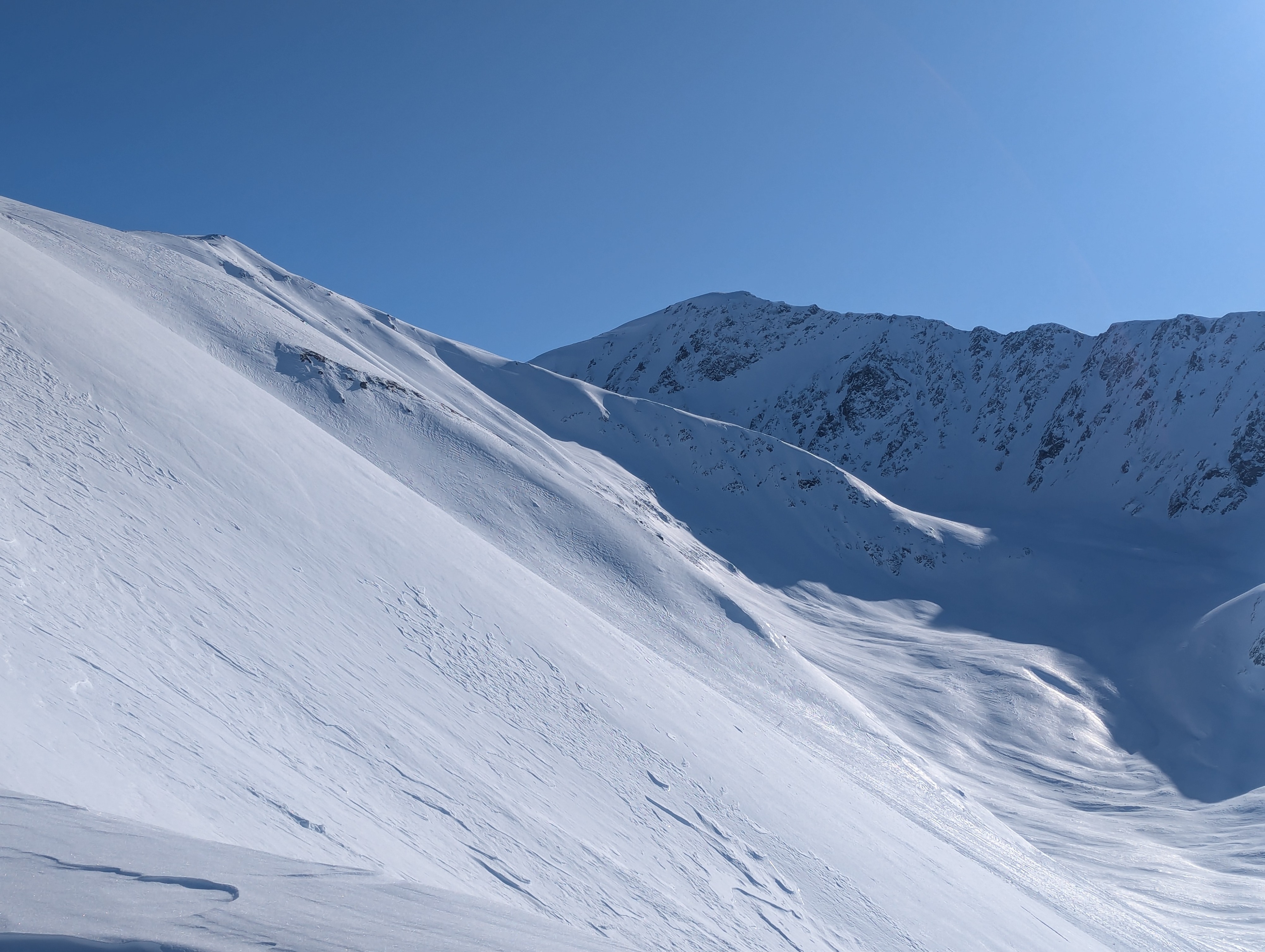
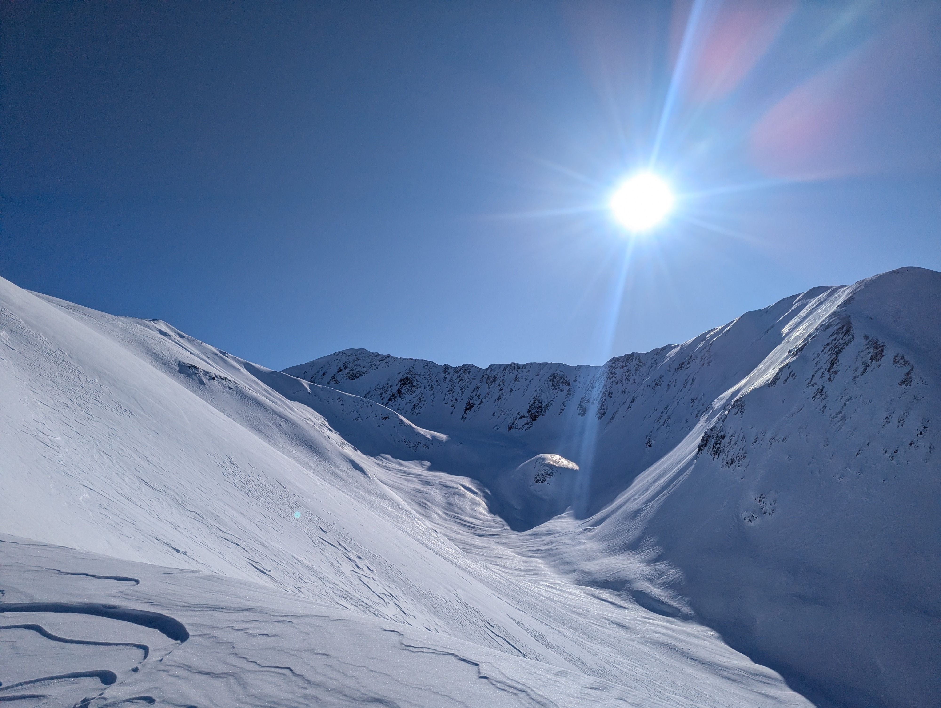
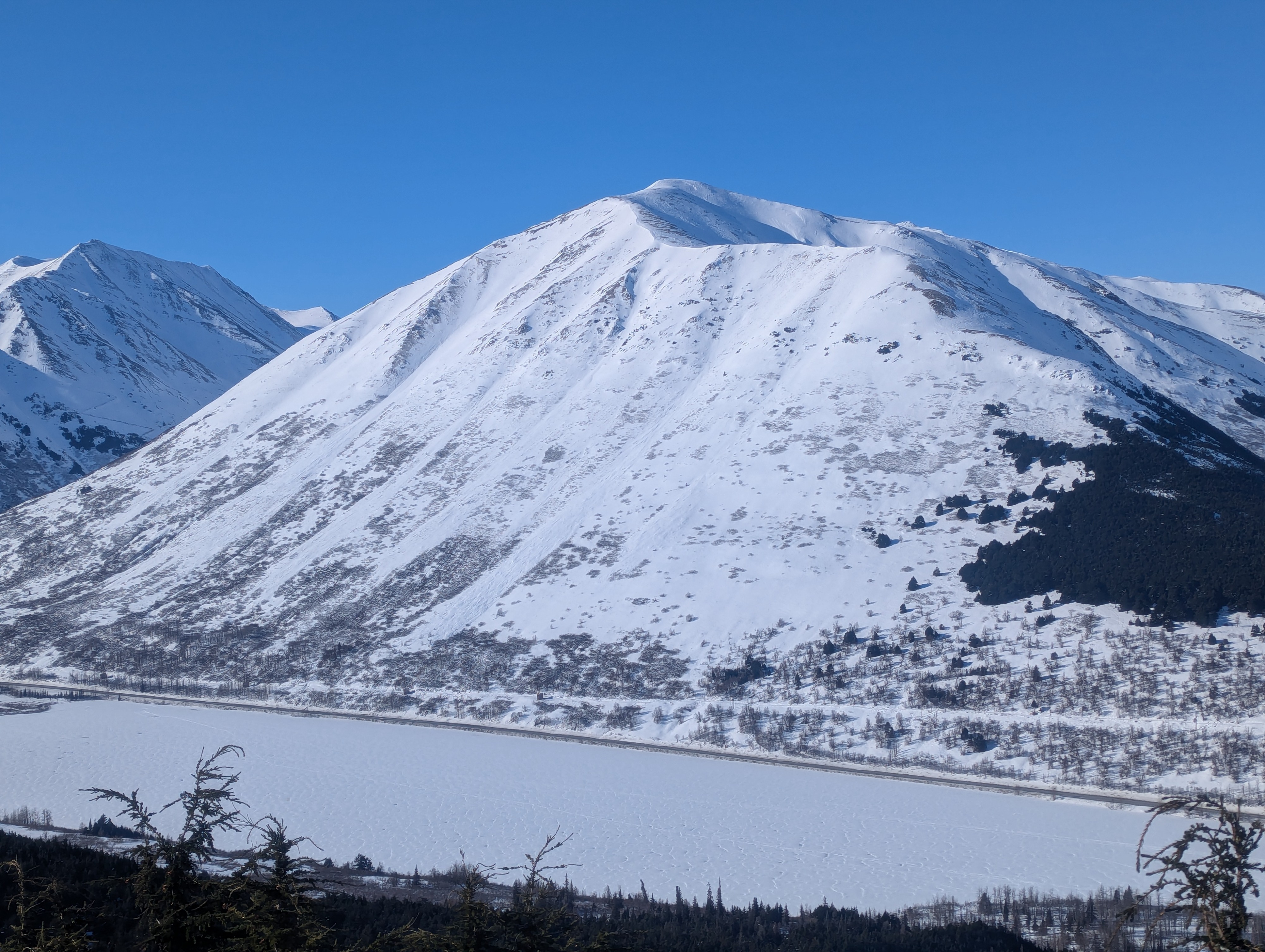
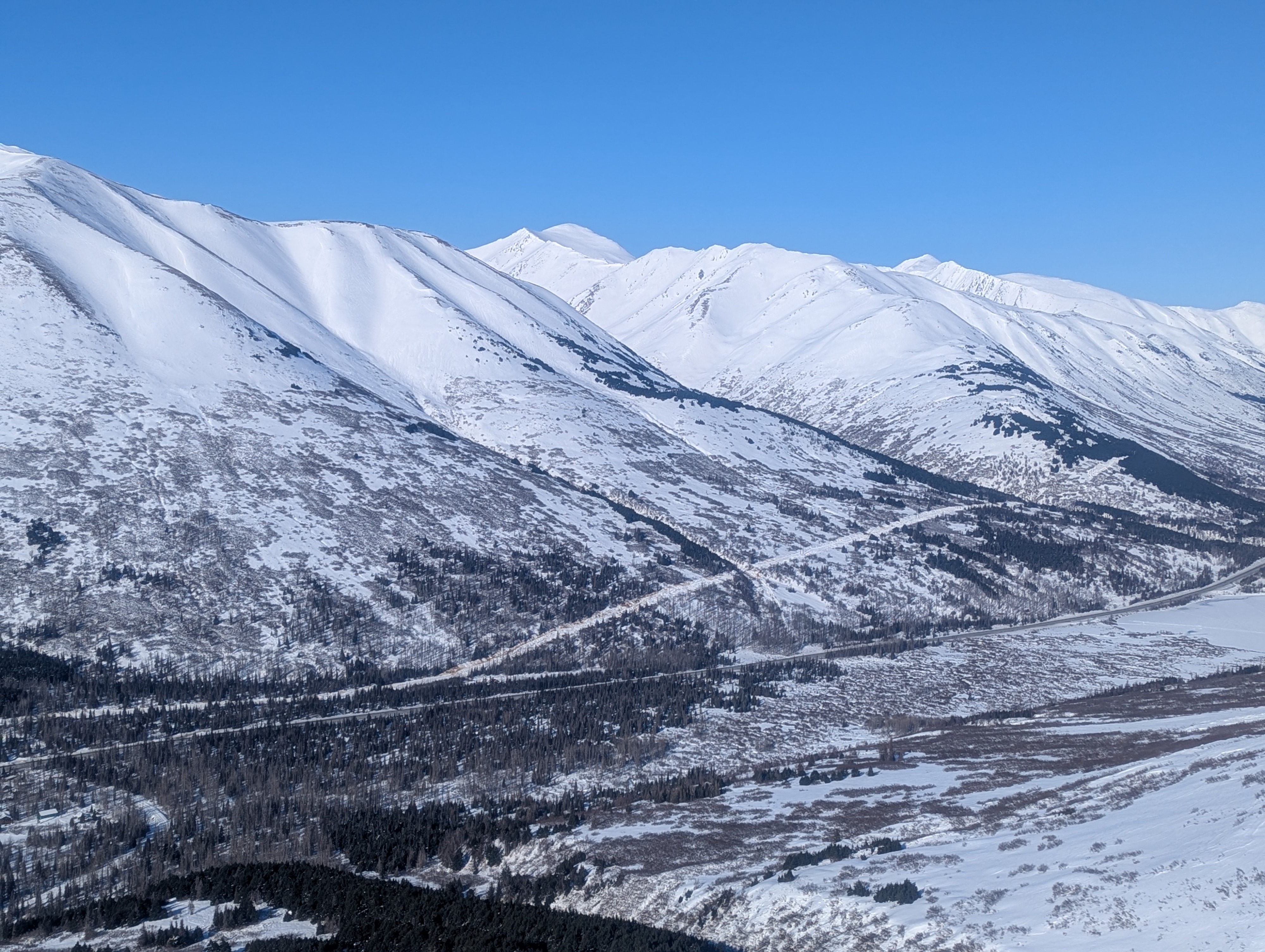
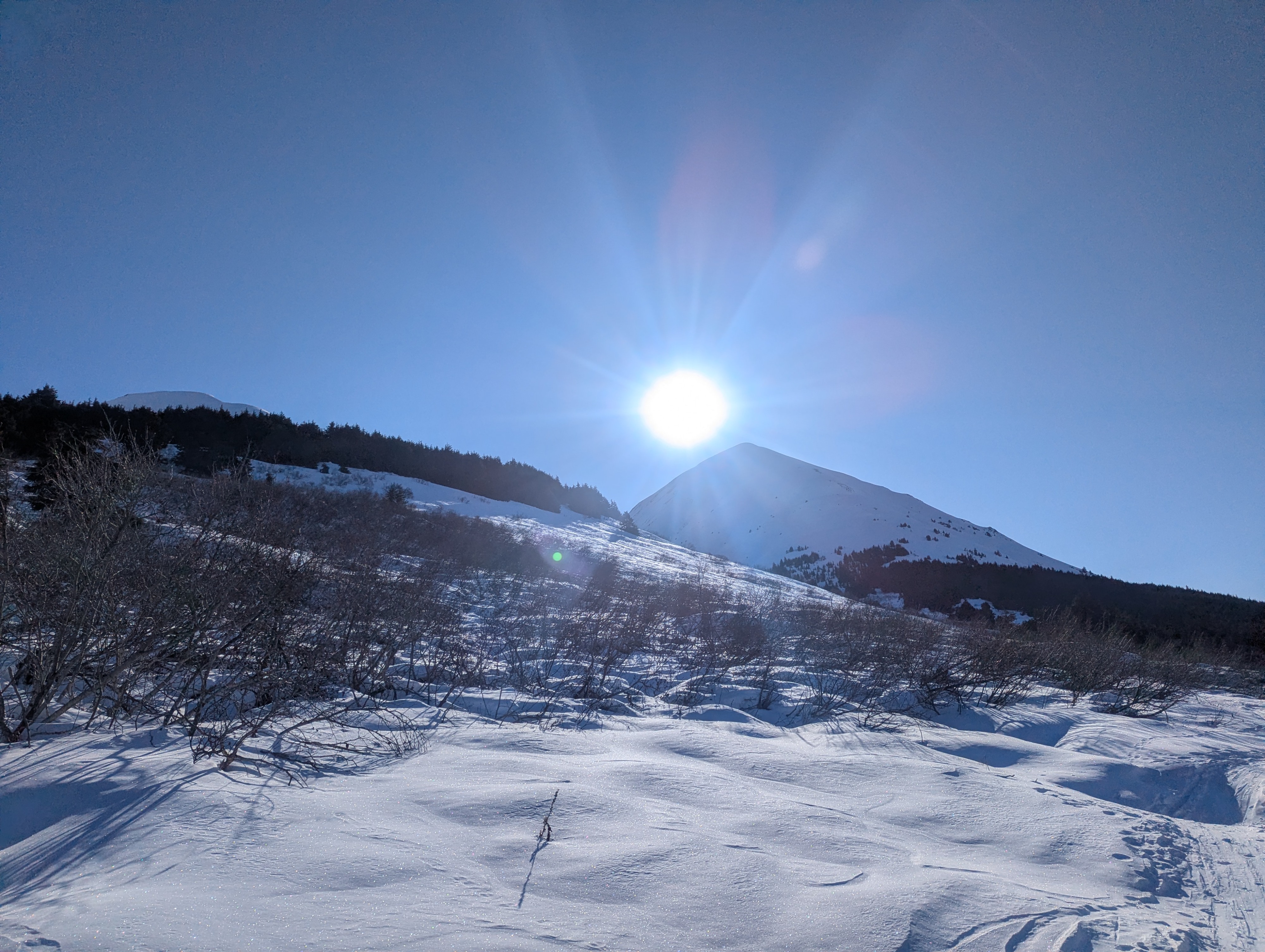
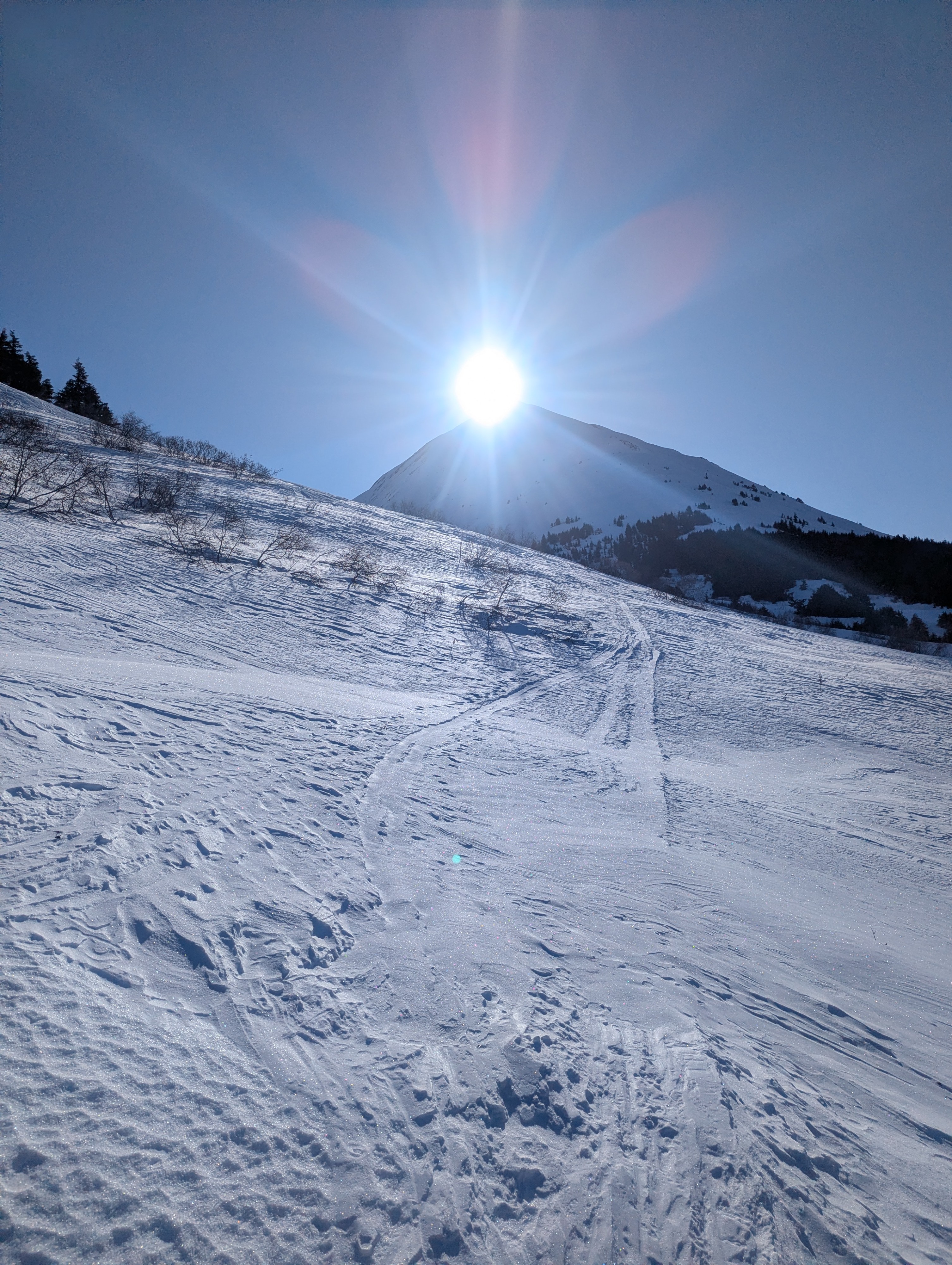
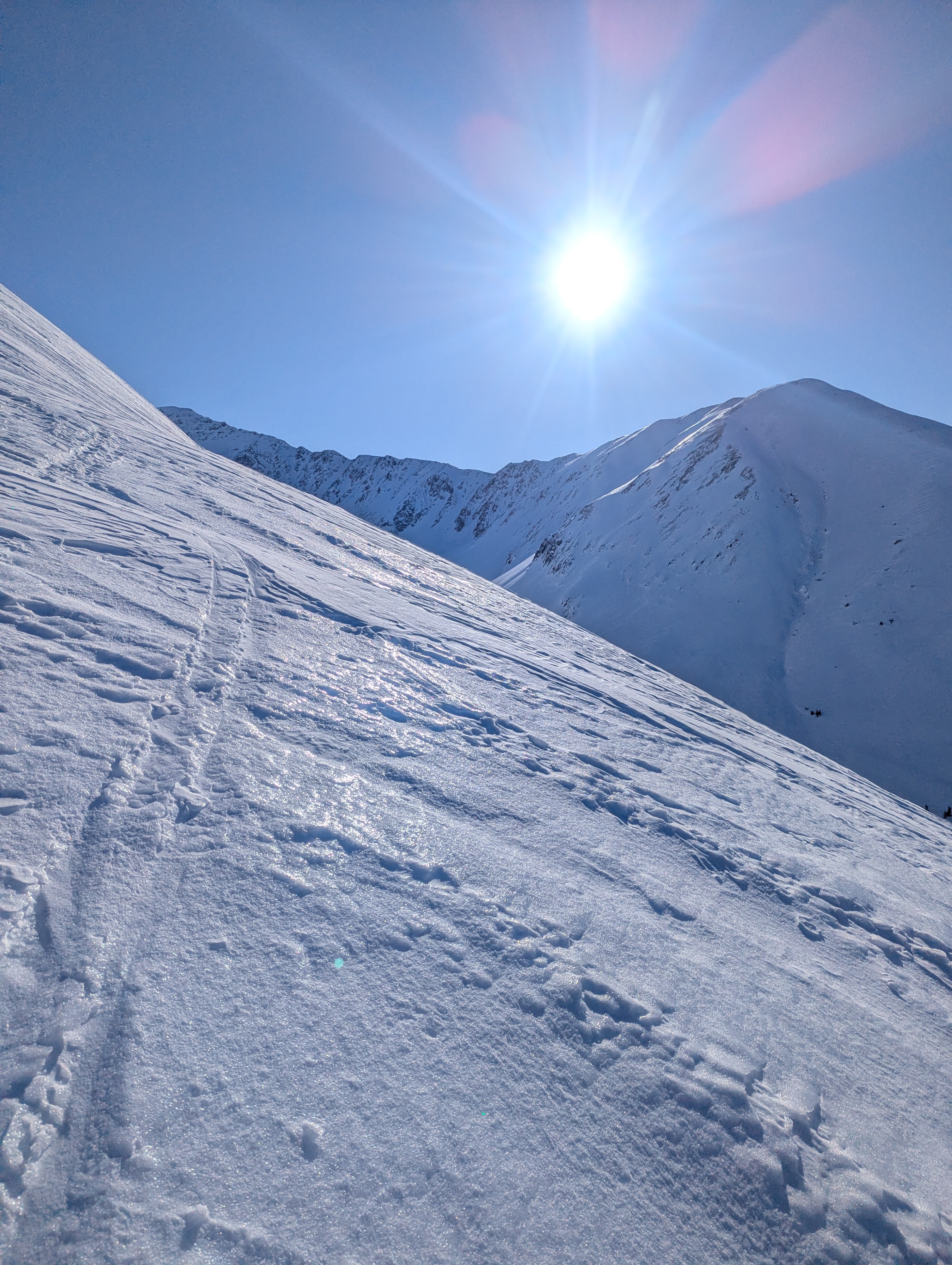
It has obviously been a long time since there was new snowfall in Summit Lake, and the strong winds have taken their toll on the surface conditions. The softest snow is below treeline, but even there, it was inconsistent and challenging to travel through. Above 2000', the snowpack was wind-scoured down to an ice crust or heavily wind-affected. This made for challenging skiing conditions. Triggering an avalanche is unlikely right now, but with the weak layers still prominent in the snowpack, if you did trigger one from a thin spot on the edge of a wind-loaded slope, it could propagate widely and cause a large avalanche.
Weather
- Air Temp
- 5 to 10 F
- Cloud Cover
- clear
- Wind Loading
- previous
Clear skies. Temps were in the negative single digits in the morning and rose to the mid-teens by the afternoon. Calm to light winds.
Snowpack
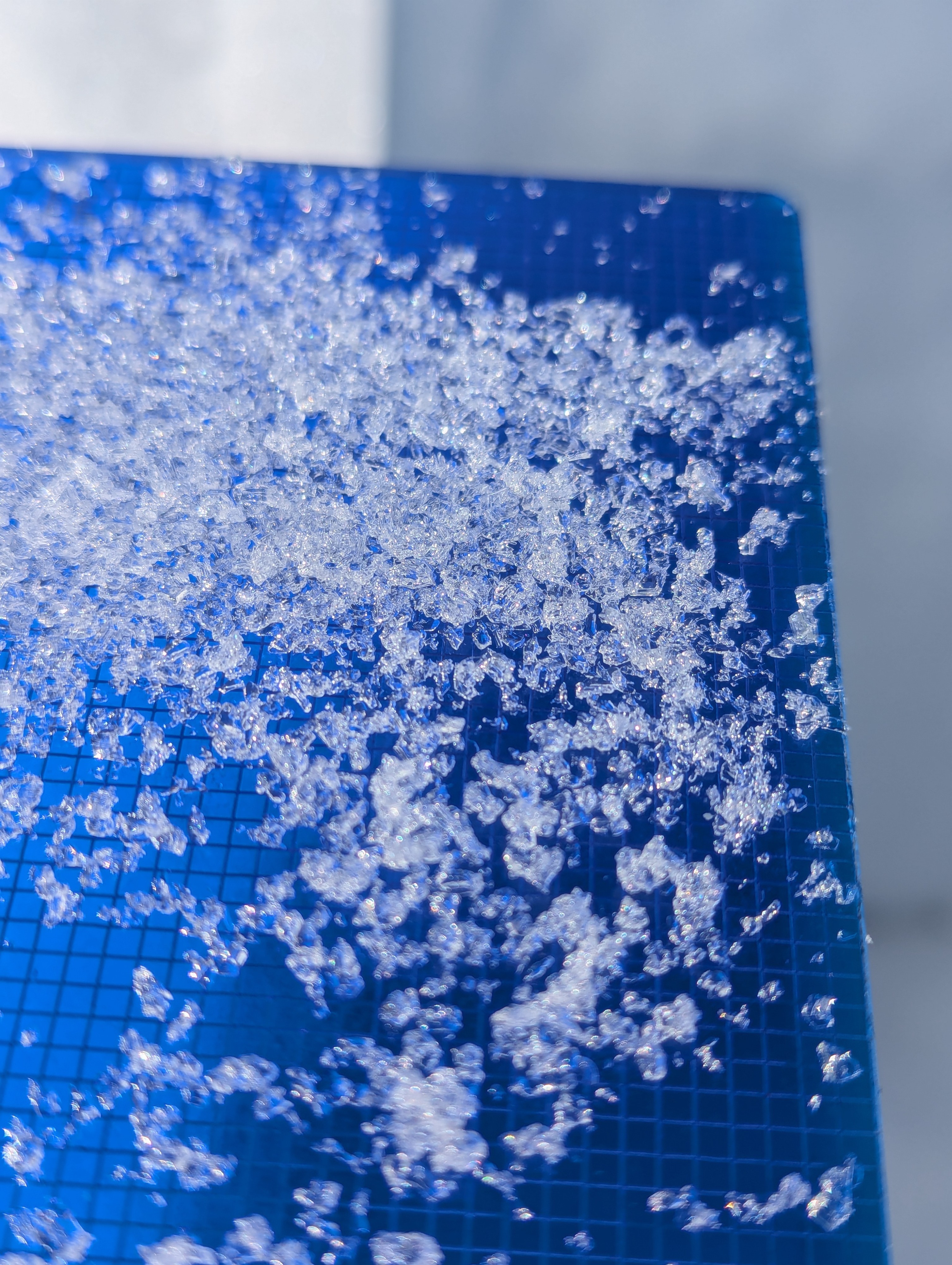
No obvious signs of unstable conditions. I dug a pit at 3300' on a SW aspect and found a poor snowpack structure with a 1.5' thick wind slab on top of facets. The snowpack was only about 3.5' deep where I dug just off the ridgeline. The facets failed in my compression test (CT 28 SC) but did not fail in the extended column test. Overall, the structure was poor, but it seemed unlikely a person would trigger an avalanche until there is additional loading with the next storm. Thin spots in the snowpack near the edge of wind-loaded features are the most likely place to be able to initiate an avalanche right now.