
Quick report
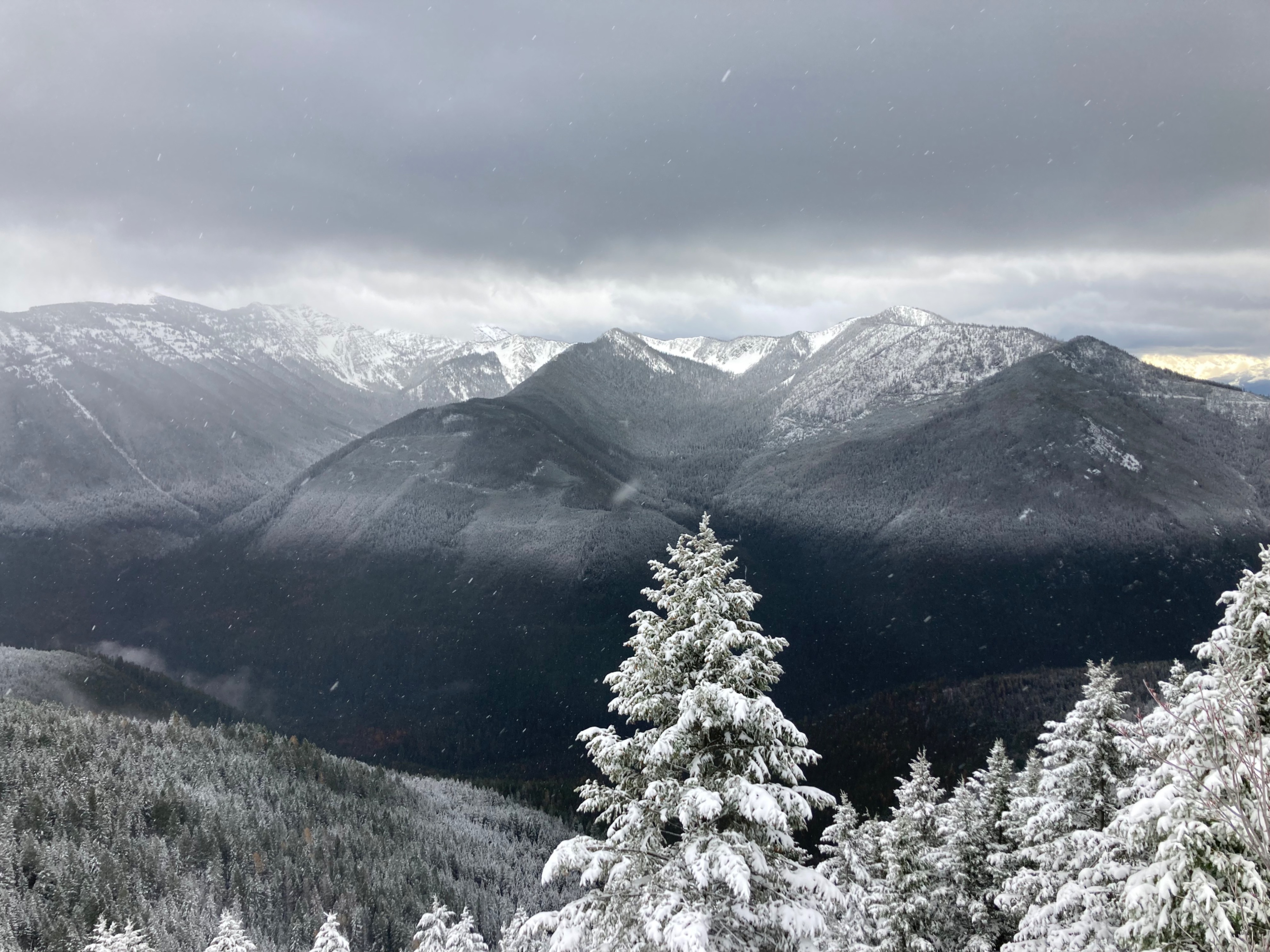
I visited an alpine ridge near the southern boundary of the advisory area to see what the storm brought for us.
- Snow line was approximately 5000 feet.
- Above this elevation new snow totals were 4 to 6 inches on average with drifts of 12 to 16 inches along the ridge.
- Blowing snow was minimal. Southwest winds were generally light with a few gusts to moderate.
- Noticed signs of recent southwest winds including naked trees and mini cornice.
- I was able to decapitate overhanging cornice with ease.
- Otherwise I found minimal cracking around my feet. I could get doormat sized slabs to break 12 inches deep only if I undercut them first. These slabs were very soft.
- I was unable to initiate sluffs in the new snow.
Travel was pleasant and the wind was less of a factor than I had expected.
No obvious signs of instability.Weather
- Air Temp
- 26
- Cloud Cover
- overcast
- Wind Loading
- light
- Rain Elevation
- 5000
- Recent Snowfall
- 10-15
- Snow Avail For Transport
- small smounts
Drizzling on the highway transitioning to flurries/graupel above 4000'. Light southwest winds with occasional gust to moderate.
Snowpack
New snow comprised of graupel and heavily rimed particles. Perhaps this has limited wind transport and slab formation. Drifts were fist hard. Cornice were 4 finger. Did not find facets near the 11/13 crust. Below the crust, the snowpack is rounded and 1 finger hard.
Pits @ 7100'
NE: HS =65 cm, ECTN 11, 7 down 15 cm , ECTN 16, 20 down 27cm on 11/13 crust (see photo)
W: HS = 45 cm, 12 cm new snow on top of 11/13 crust (see photo)
S: HS = 25 cm, 15 cm new snow on top of 11/13 crust