
Quick report
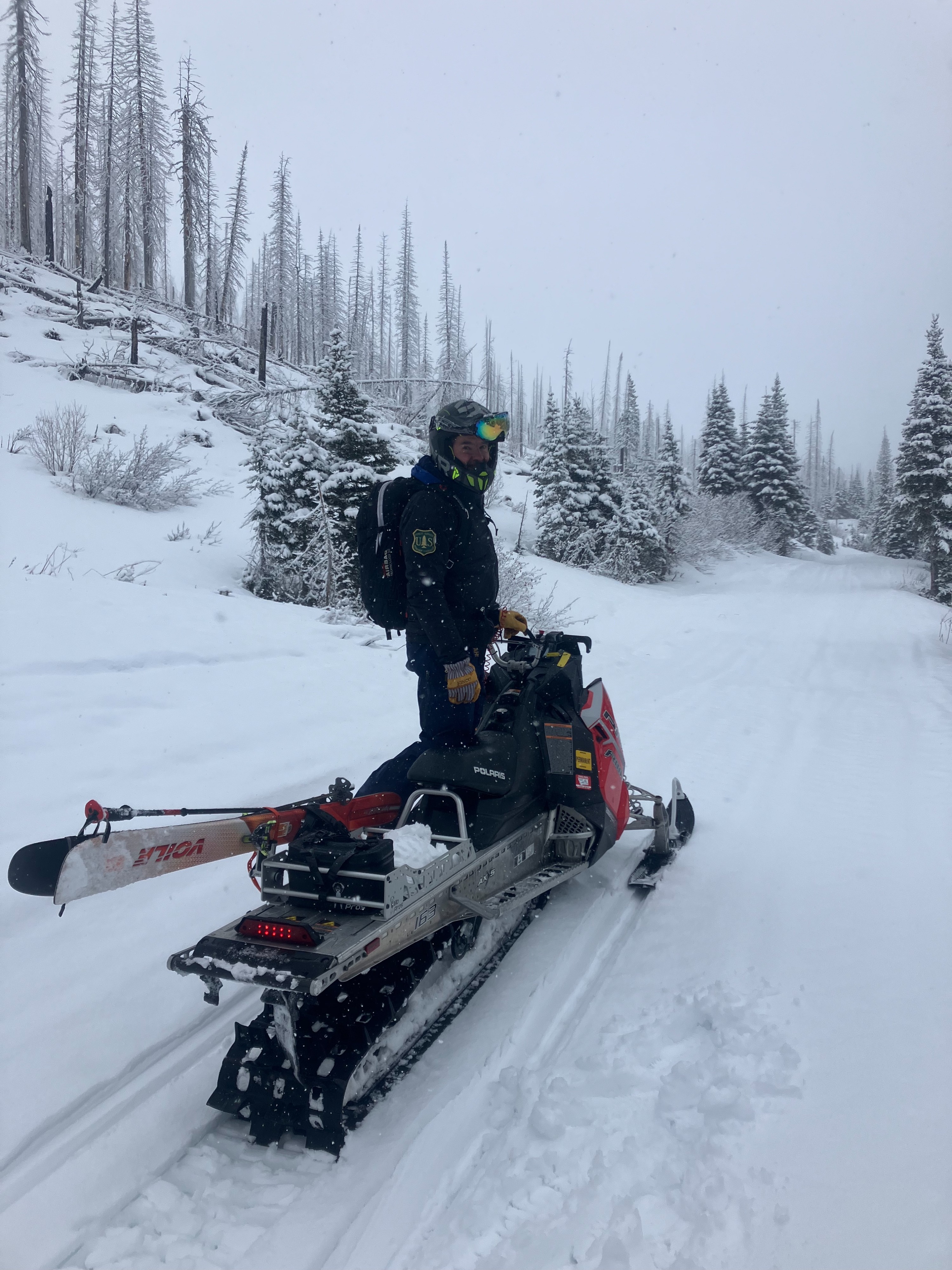
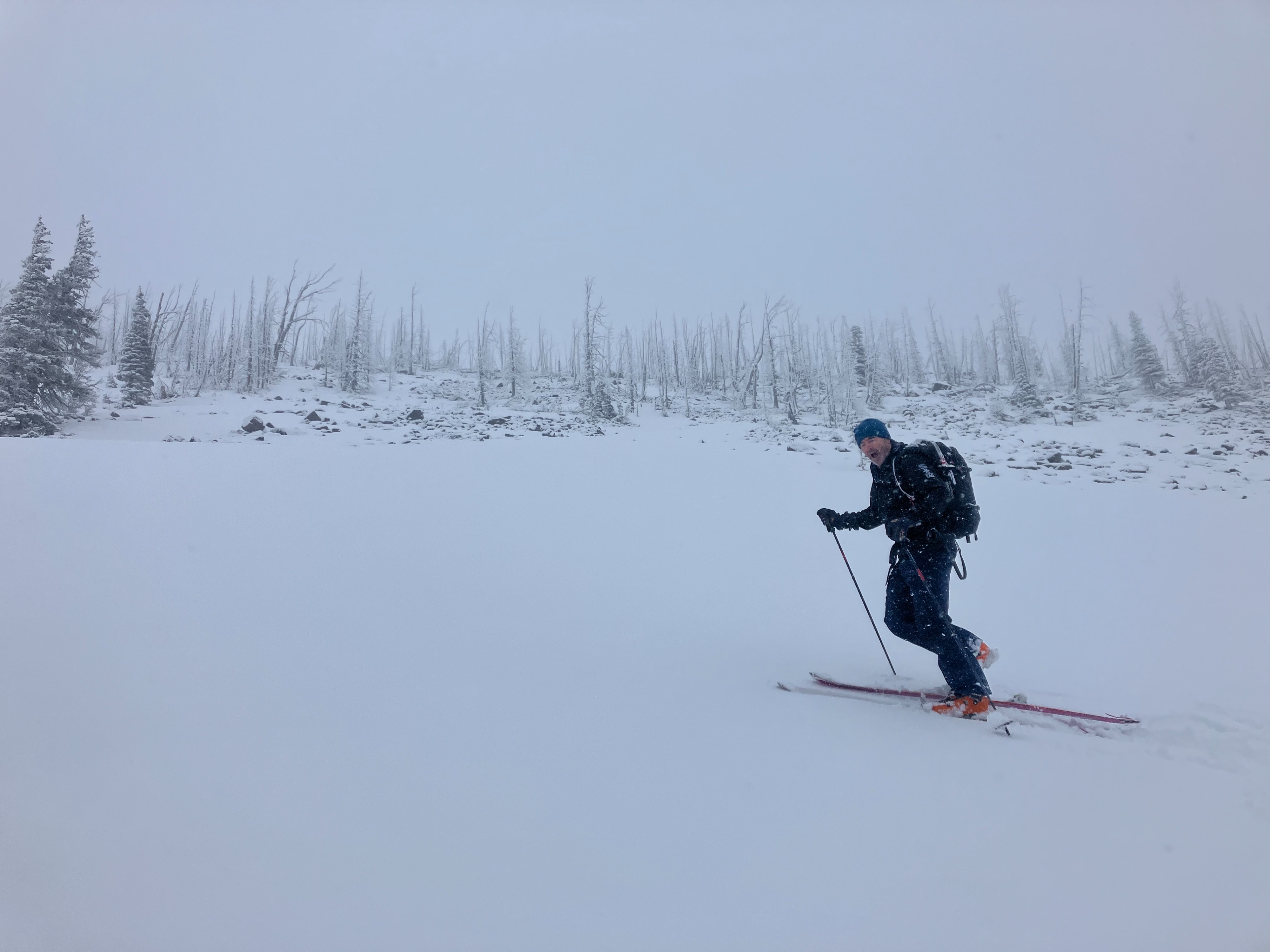
Our sled and ski tour to the Skyland area today started and ended in the rain. However, the middle of our day included some nice turns in new snow.
- 3 inches of new dense snow at 6100 feet and 4 inches of dry snow at our high point of 7700 feet.
- Skiing was creamy on a supportable crust. Described best: "cream cheese on burnt toast."
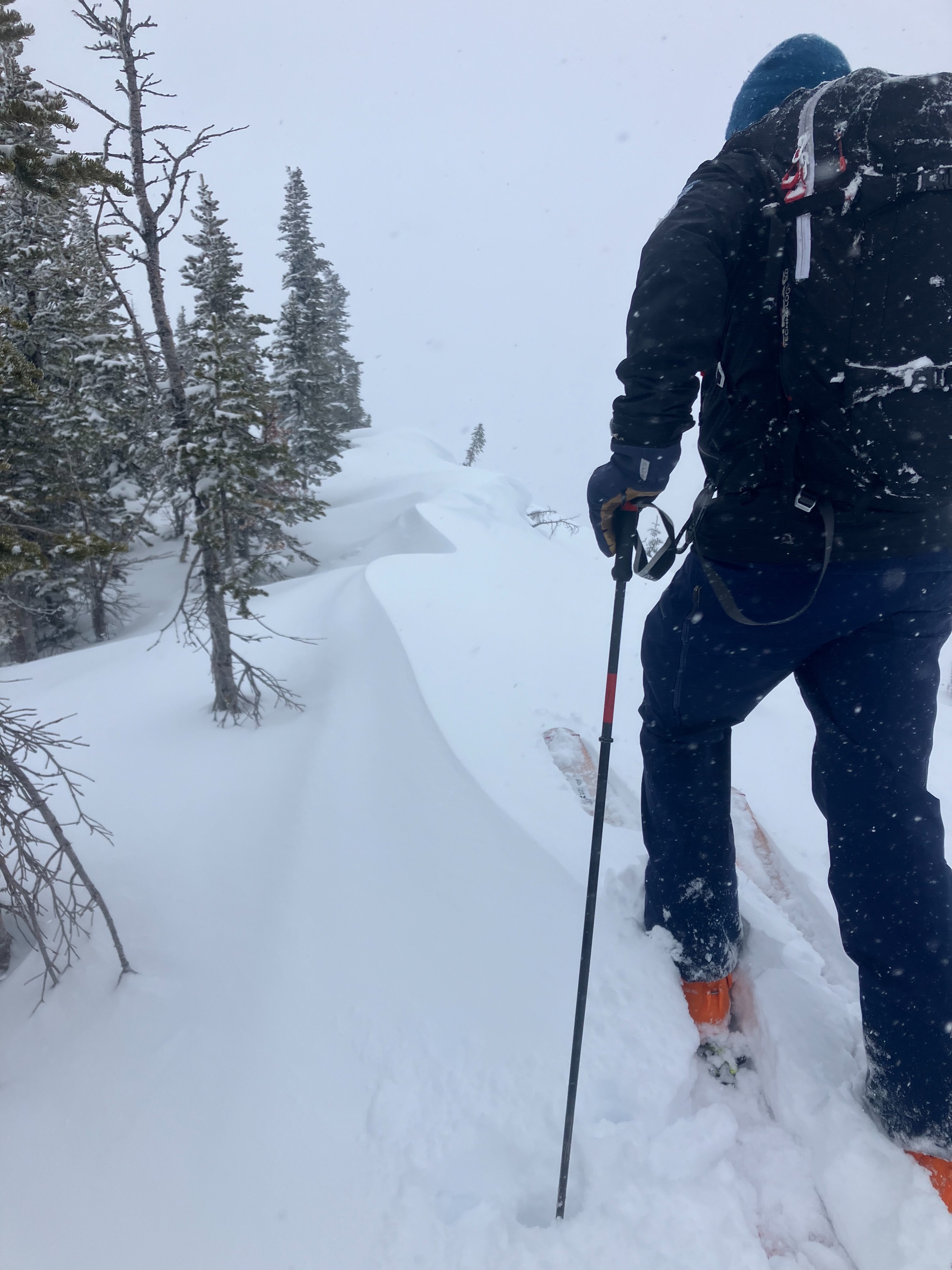
- Blowing easterly winds were forming thin wind slabs at the ridge of the Continental Divide.
- The stout crust was supportable on most surfaces and ranged from 15 to 20 cm deep.
- We managed harmless sluffing of the new snow on the crust on steep slopes.
- Visibility was limited, so our observations of recent avalanche activity was limited. See the avalanche tab for more details.
Weather
- Air Temp
- 30 to 33
- Cloud Cover
- overcast
- Wind Loading
- light
- Rain Elevation
- 4600
- Recent Snowfall
- 8 to 10 cm
- Snow Avail For Transport
- small smounts
Rain on the drive to the trailhead. Mixed precipitation turned to snow as we gained elevation on sleds. Low clouds all day limited our visibility. Snow flurries on and off throughout the day. Easterly winds along the continental divide. Rain/ snow line climbed during the day, from roughly 4000' to 4600'
Snowpack
Snow profiles:
- HS: 130 cm, West aspect, 6660 feet.
- 8 cm of new snow, 15cm supportable crust
- facets above and below the 12/22/23 crust (60 cm from the surface)
- moist snow down to the ground.
- HS: 125 cm, SW aspect, 7000 feet.
- 10 cm of new snow.
- 12/22/23 crust down 50 cm, facets below to the ground
- crust more defined in this area.
- frozen percolation tubes within the facet layers.
Avalanche
- Size
- D2.5 R3
- Type
- WS
- Aspect
- E
- Trigger
- N
- Elevation
- 6900 ft
The main north path of Slippery Bill Mountain appears to have a large avalanche based on the debris we could see. Unfortunately, the visibility was limited all day, so we estimated that it was a D2.5 based on debris field. We suspect it to be a Wet Slab avalanche, but we could not confirm it.