
Quick report
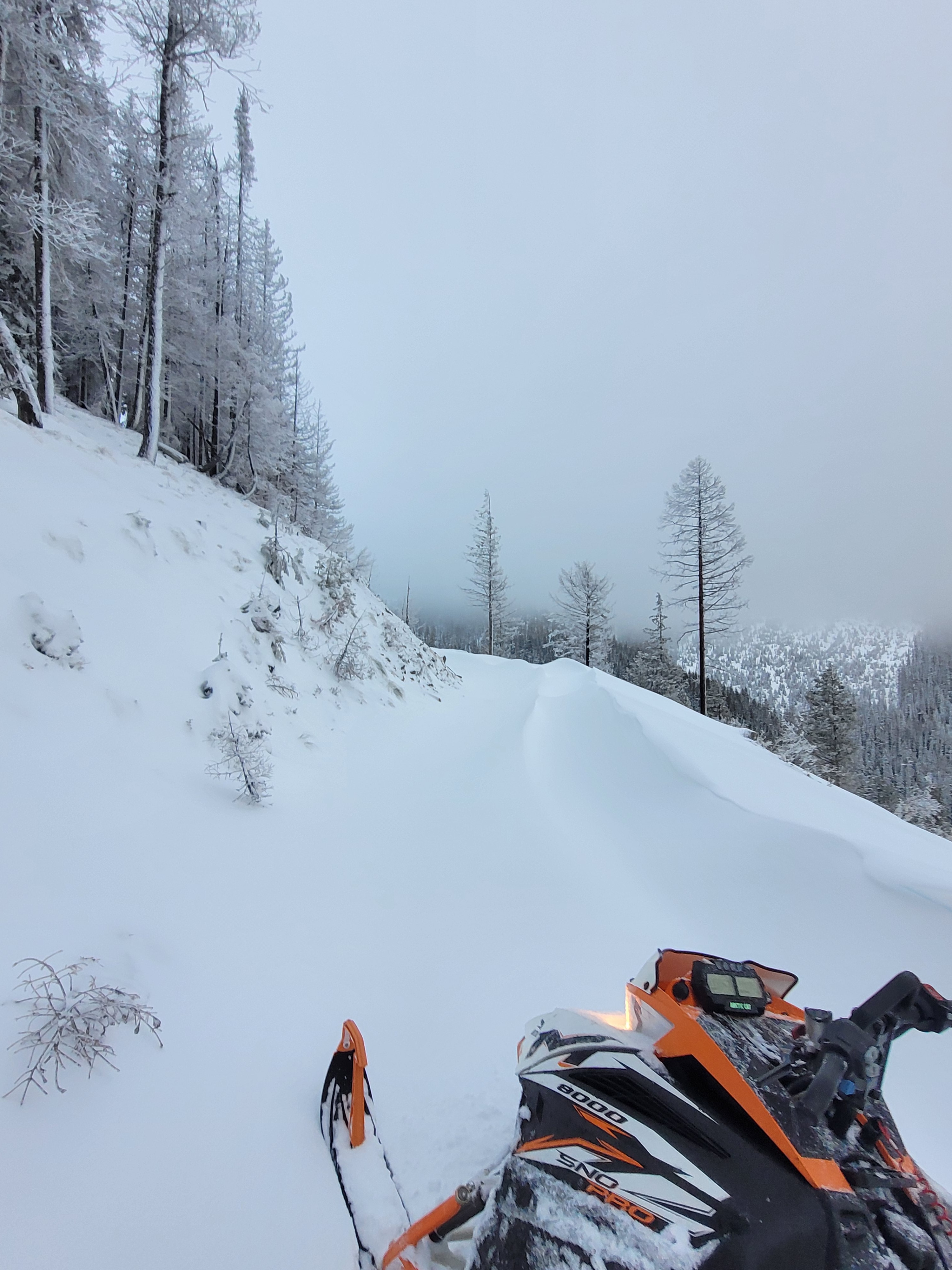
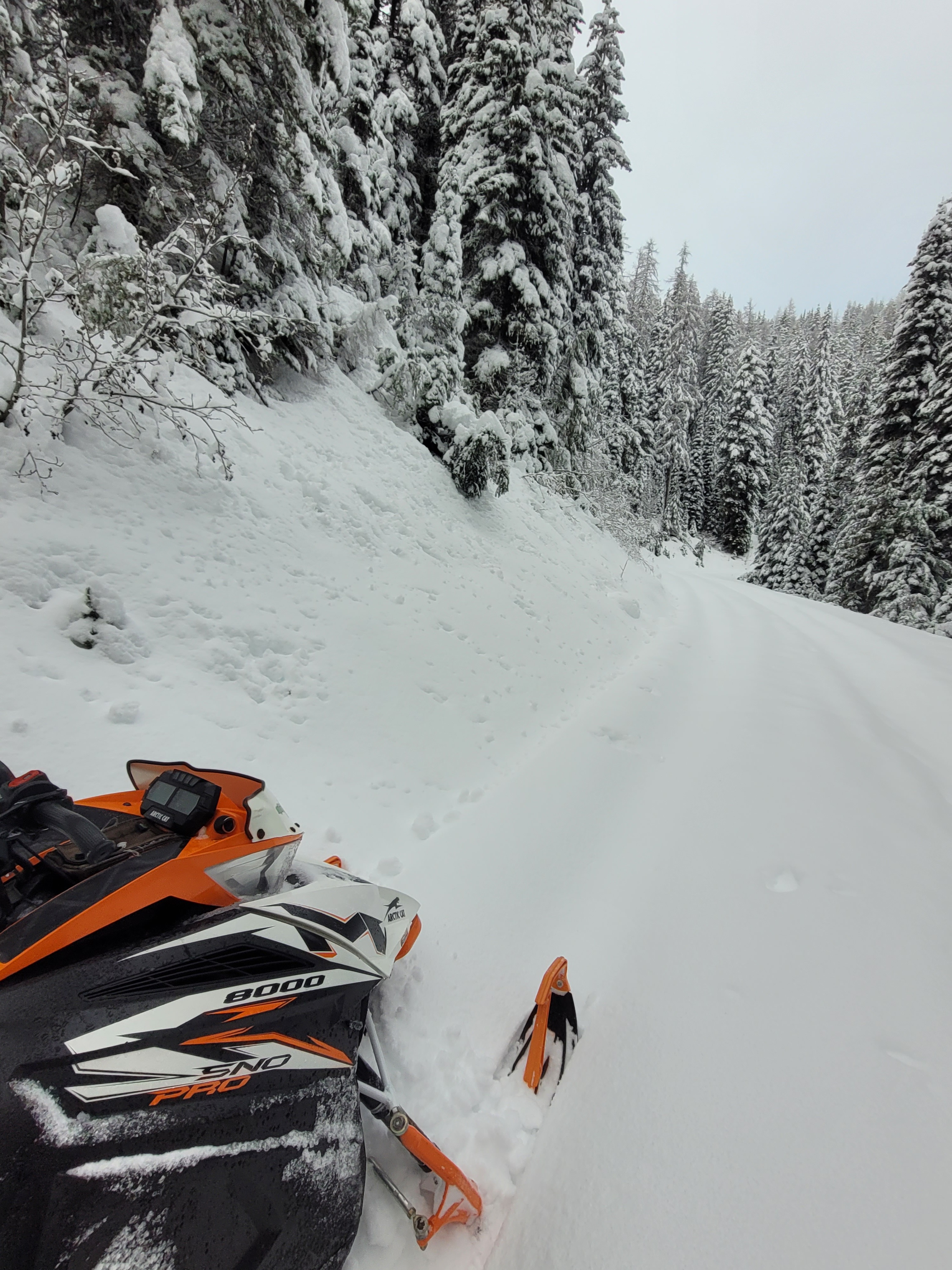
I traveled up 20 mile road to Black Mountain area on a day off for a machine test, check on conditions, and stop by the snow stake plot to clear ice covering the camera lens. As I traveled up in elevation from 4500 feet to 6000 feet, I observed both increasing snow coverage and signs of recent wind affect.
Weather
- Cloud Cover
- overcast
- Wind Loading
- moderate
- Rain Elevation
- 5000 ft - yesterday mid storm warm-up
- Snow Avail For Transport
- moderate amounts
Overcast skies, no precipitation, light west winds at ridgetop.
Snowpack
While sledding up the road I noted decreasing signs of recent rain while gaining elevation. A thin breakable surface crust became thinner with a trend from wet snow under the crust towards drier snow underneath. At around 5000 feet the surface crust disappeared, changing to soft dry snow.
The snow stake plot at 6000 feet on a flat to slight south aspect currently has a snow depth of 2.5 feet (~75cm). I found the top 5cm wind affected stiffer snow over softer Fist hard snow. A thin (0.5cm thick, Pencil hard) crust was found down 25cm.
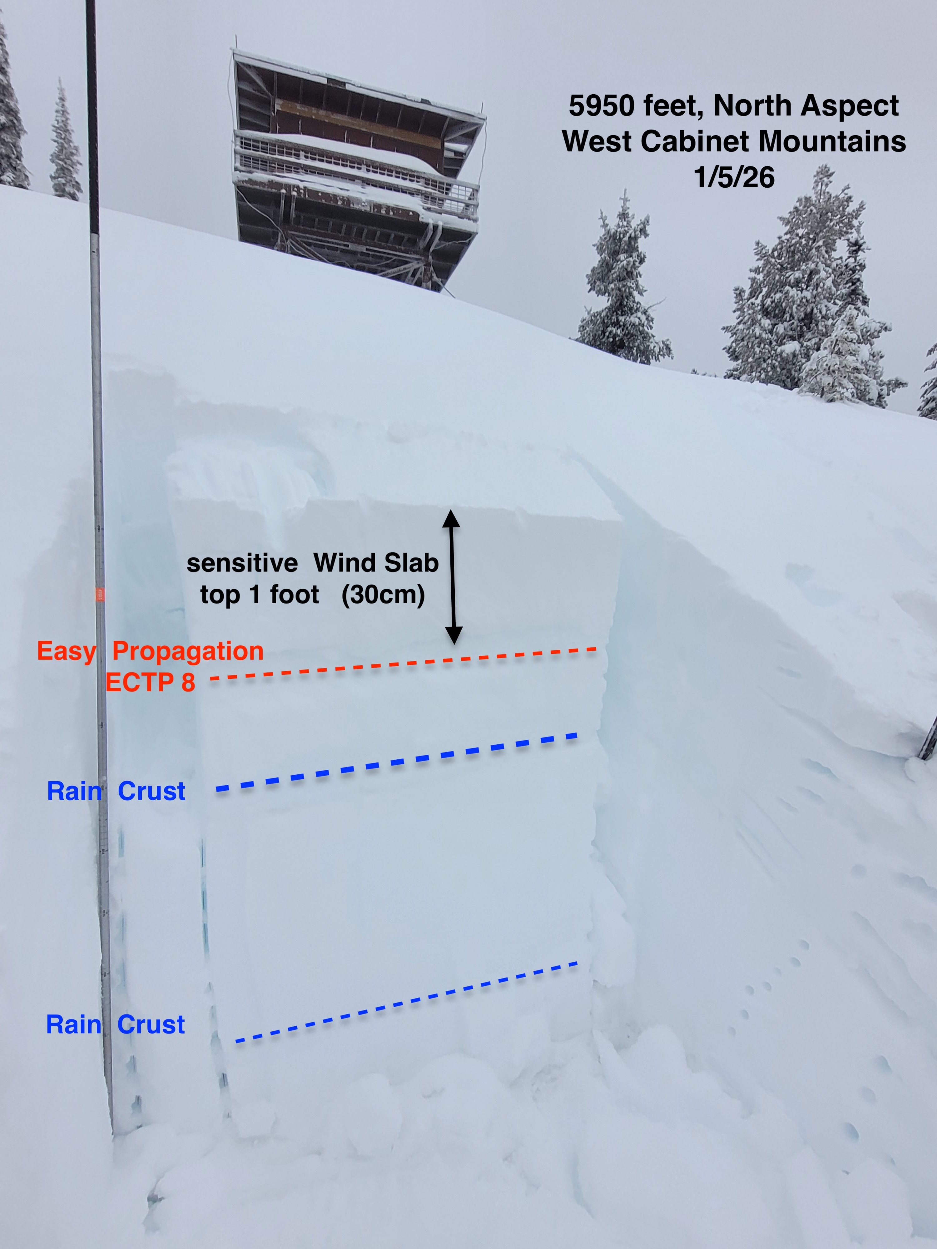
At a nearby location on a North aspect at the same elevation I found a snowpack height of 170cm (5ft) on a wind deposited slope right below the flat mellow ridgetop. I observed the top 30cm of 4F hard wind drifted snow overlaying F hard new snow. Snowpack tests showed propagation with easy force on an extended column - ECTP 8 down 30cm, in two separate ECT’s. Deeper in the snowpack, another rain crust ( 5cm thick, Pencil hard clustered grains) down 50cm from the surface and noted a hard force shovel shear on top of the crust. Below here, I observed 1F- trend to 1F hard snow.