
Quick report
- Cracking
- specific
- Collapsing
- specific
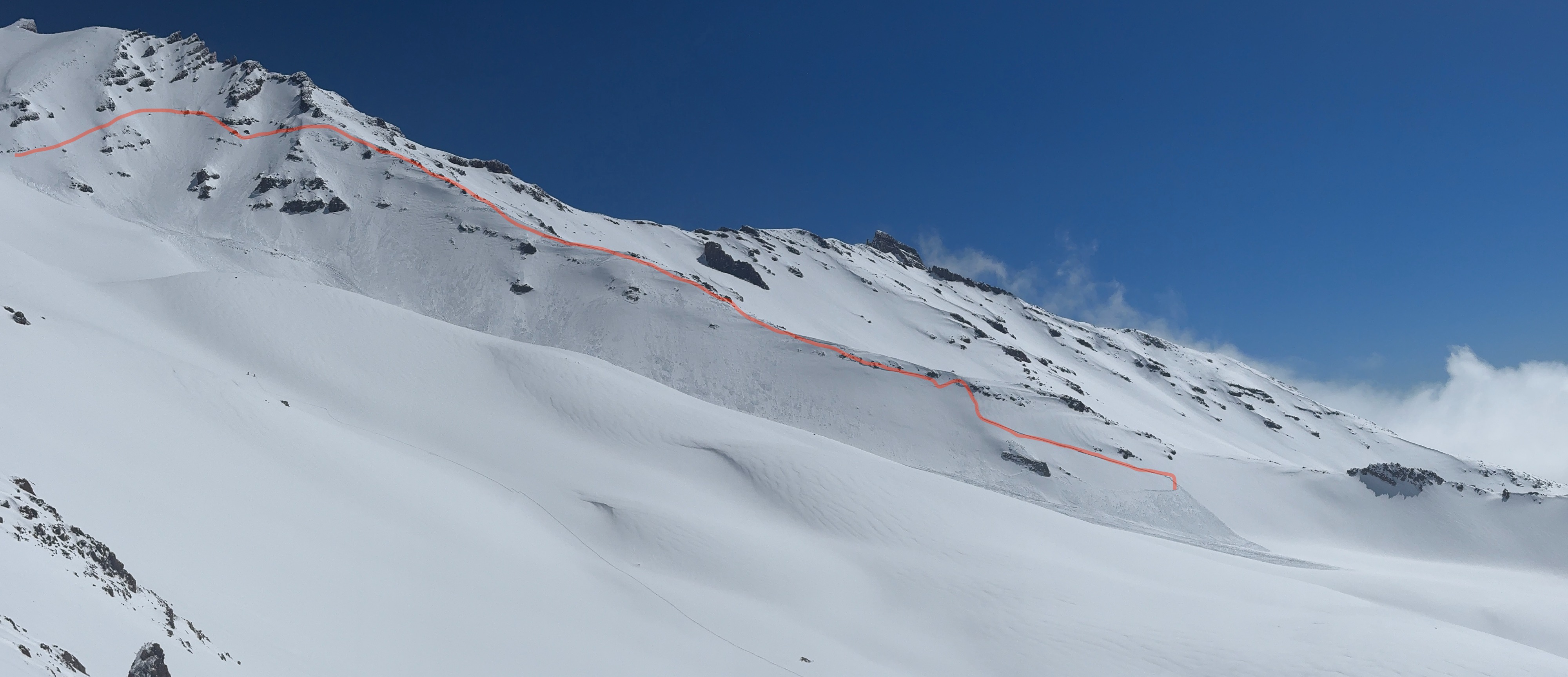
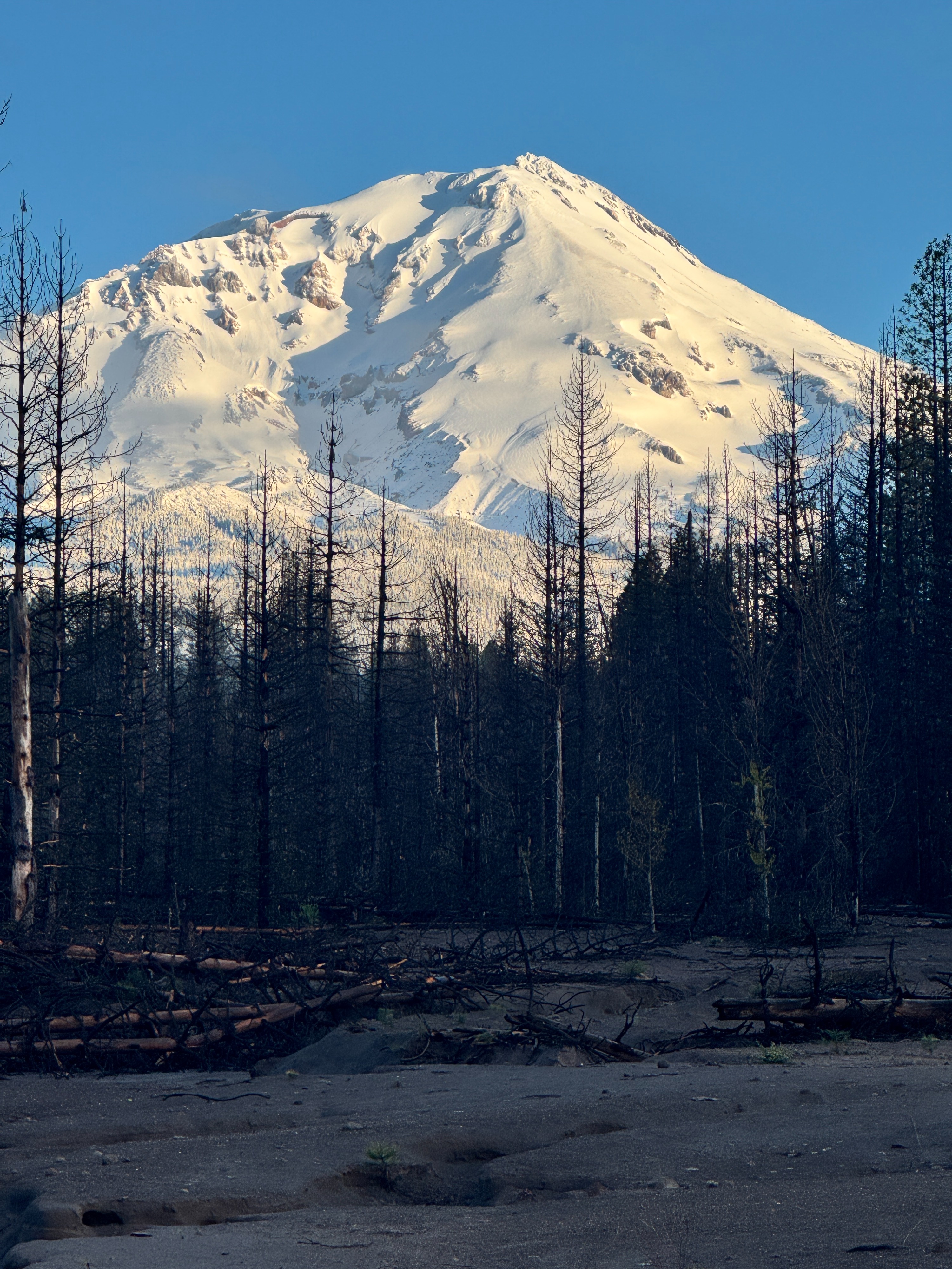
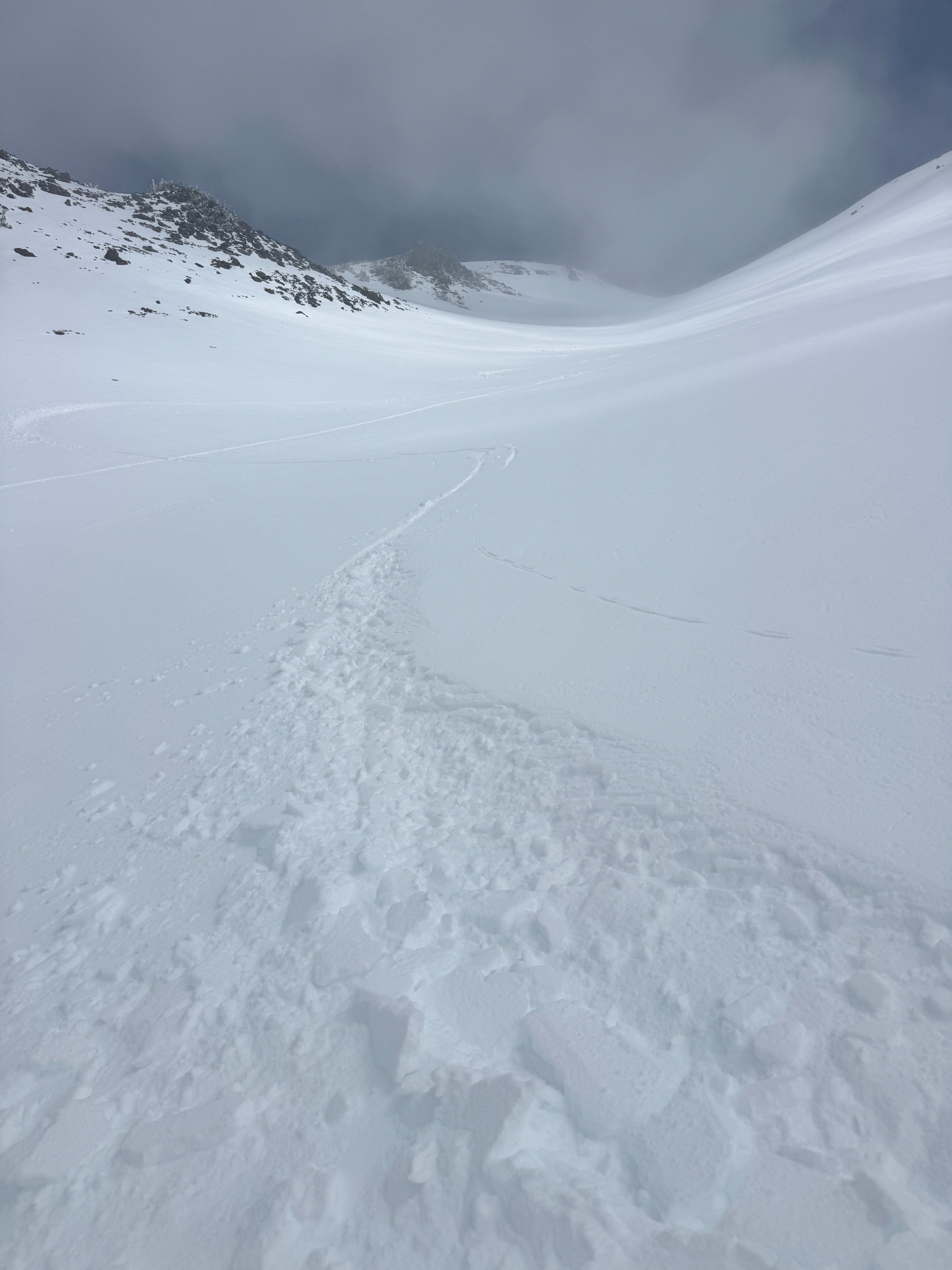
1. April 13 (Today) I left Bunny Flat at approximately 0800 on a personal ski tour toward the top of Giddy Giddy Gulch (lower Casaval Ridge). The goal was to take advantage of cold storm snow from the latter half of the April 12 storm before wind or solar input altered surface conditions. In open areas exposed to the sky, I observed a fairly supportable sun crust that formed yesterday afternoon following clearing skies. Surface hoar was also forming on these open slopes. Under tree canopy and in wind-protected gullies; cold and soft snow remained abundant. Above tree line in Giddy Giddy Gulch, the surface was variable, consisting of cold soft snow in sheltered areas and a thick, supportable sun crust elsewhere. From the top of Giddy Giddy, I observed a large natural D3 avalanche on the west aspect of Green Butte Ridge (photo attached). This avalanche likely failed on a firm old snow surface. On descent down Giddy, the upper slopes and lower-angle gullies above this morning's valley fog layer skied well where they received sun. Lower down, as I entered the rising cloud ceiling, the crust remained supportable and skiing quality deteriorated. Additional solar input would been helpful to soften this crust. 2. April 12 (Yesterday). Storm skiing. I snowmobiled up the Old Ski Bowl Road and parked the machine near a meadow in the vicinity of Grey Butte's north face. From there, I ski toured up the north ridge of Grey Butte and completed two laps on the north shoulder. On the first lap, I chose a low-angle tree lane to assess the new snow. I triggered numerous very soft storm slabs up to 15 cm deep. Reactivity was high, with wider-than-expected propagation up to 30 feet wide. Despite this, consequences were minimal due to the shallow depth and low density of the slabs in the terrain I was skiing. Inspection of the failure layer revealed rimed precipitation particles at a density change. This layer likely formed during a period of rapid cooling overnight within the storm.
Weather
- Air Temp
- 20s
- Cloud Cover
- few
- Wind Loading
- moderate
- Rain Elevation
- <6000
- Recent Snowfall
- 20-40cm
- Snow Avail For Transport
- moderate amounts
April 13 - thick valley fog layer that rose in height as day progressed with diurnal pressure and heat changes. Increasing cloud and humidity as moisture pushed in from the west/coast.